The best MTB trails around Niardo
4.6
(378)
3,554
riders
118
rides
Mountain biking around Niardo offers diverse terrain within the Province of Brescia. The region is characterized by mountainous landscapes, including parts of the Camonica Valley, providing varied elevation gains and technical challenges. Riders can expect routes that traverse through natural areas and past historical landmarks. The area features a network of trails catering to different skill levels and fitness requirements.
Best mountain bike trails around Niardo
- The most popular mountain bike trail is De Marie al Volano Hut – Colombé…
Last updated: August 15, 2026
4.2
(32)
196
riders
54.9km
03:11
320m
320m
Moderate mountain bike ride. Good fitness required. Suitable for all skill levels.
4.3
(18)
128
riders
Moderate mountain bike ride. Good fitness required. Suitable for all skill levels.

Sign up for free
5.0
(5)
81
riders
25.2km
02:48
1,120m
1,120m
Hard mountain bike ride. Very good fitness required. Advanced riding skills necessary.
4.2
(17)
54
riders
41.8km
04:20
1,710m
1,710m
Hard mountain bike ride. Very good fitness required. Suitable for all skill levels.
5.0
(4)
88
riders
53.3km
05:14
1,650m
1,650m
Hard mountain bike ride. Very good fitness required. Advanced riding skills necessary.
Get access to more routes and recommendations from other explorers.
Sign up for free
Already have an account?
Our route recommendations are based on thousands of hikes, rides, and runs completed by other people on komoot.
Start today with a free account
Your next adventure awaits.
Login or Signup
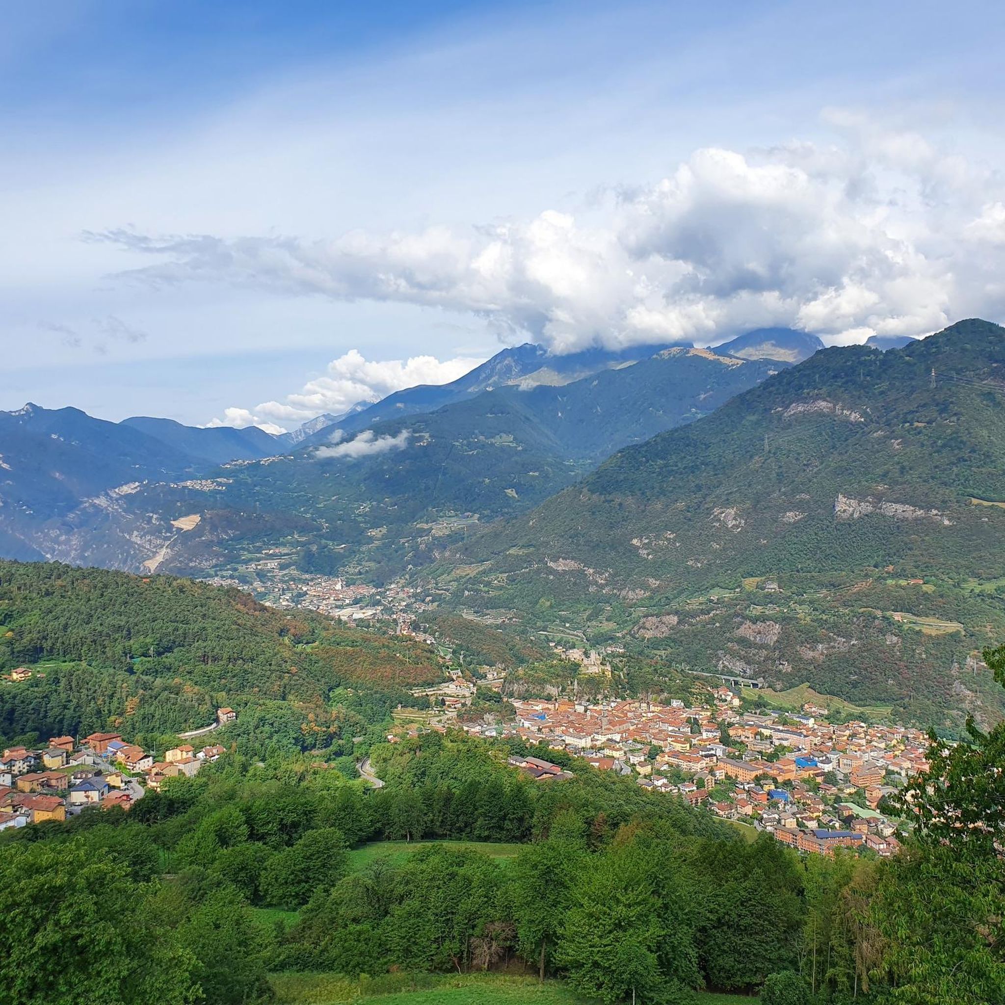
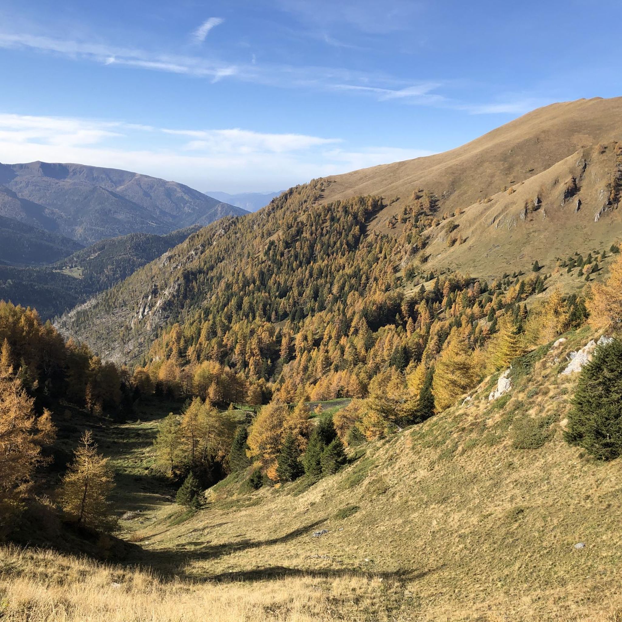


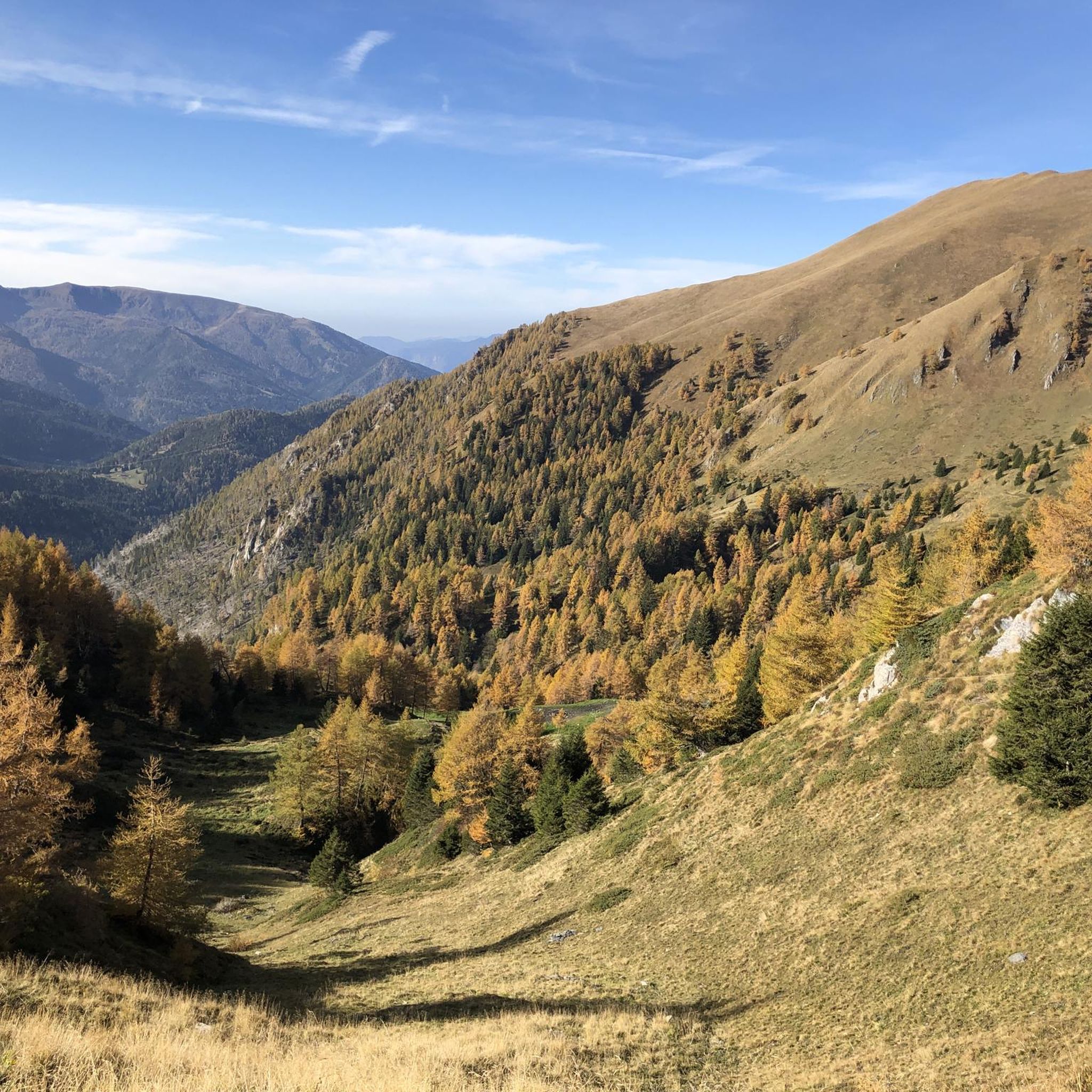

Tips from the Community

The Ciclovia dell'Oglio is an excellent cycle touring route of 282 kilometers that entirely follows the course of the Oglio river, connecting the mountains of Lombardy to the Po Valley. Considered the "most beautiful cycle path in Italy" (title received at the Italian Green Road Award 2019), it has a total negative elevation difference of almost 1,862 meters, starting from 1,883 meters at the Passo del Tonale to reach 21 meters of the Po at San Matteo delle Chiaviche. The route is 80% asphalt and 20% compact dirt road and is ideal for gravel, trekking, or e-bikes.
0
0

Reachable from Borno, following a restored mule track with a concrete road surface (the last section is closed due to landslide restoration work with a signposted detour) with gradients of over 20%
0
0

Lake Lova is a picturesque hiking destination located above Borno, on the Altopiano del Sole plateau in Val Camonica. It is appreciated for its alpine landscape, tranquility, and the variety of trails that surround it. The lake is located at approximately 1,392 meters above sea level and can be reached via several hiking trails, including the Sentiero della Memoria (Path of Remembrance) that starts from the church of San Fiorino in Borno. After a short paved stretch to the Trattoria Navertino, you take a dirt path that winds through larch and fir trees, with steep sections and slippery cobblestones. The hike is immersed in a natural environment typical of the Lombard Prealps. The hike is immersed in a natural environment typical of the Lombard Prealps, with natural fountains and good cell phone coverage. A longer alternative is the Monte Mignone – Lago di Lova circular hike, approximately 11.1 km long with an elevation gain of 837 meters, to be done counterclockwise. This route offers spectacular views and passes through pastures and woods, with the lake as its focal point. Lago di Lova is also a hub for other trails: from here, you can continue towards the Rifugio San Fermo or the Rifugio Laeng, following CAI trails 106 and 182. Parking is available near the lake, making it accessible even for less experienced hikers. From a scenic perspective, the lake is nestled in a green valley surrounded by woods and pastures, with calm waters reflecting the sky and surrounding mountains. It's an ideal destination in all seasons, but particularly captivating in autumn for the colors of the foliage.
2
0
Lake Lova is a picturesque hiking destination located above Borno, on the Altopiano del Sole plateau in Val Camonica. It is appreciated for its alpine landscape, tranquility, and the variety of surrounding trails. The lake is located at approximately 1,392 meters above sea level and can be reached via several hiking trails, including the Sentiero della Memoria (Path of Remembrance) that starts from the church of San Fiorino in Borno. After a short paved stretch to the Trattoria Navertino, you take a dirt path that winds through larch and fir trees, with steep sections and slippery cobblestones. The hike is immersed in a natural environment typical of the Lombard Prealps, with natural fountains and good cell phone coverage. A longer alternative is the Monte Mignone – Lake Lova circular hike, approximately 11.1 km long with an elevation gain of 837 meters, to be done counterclockwise. This route offers spectacular views and passes through pastures and woods, with the lake as its focal point. Lake Lova is also a hub for other trails: from here, you can continue towards the San Fermo Refuge or the Laeng Refuge, following CAI trails 106 and 182. Parking is available near the lake, making it accessible even for less experienced hikers. Scenically, the lake is nestled in a green valley surrounded by woods and pastures, with calm waters reflecting the sky and surrounding mountains. It's an ideal destination in all seasons, but particularly captivating in autumn due to the colorful foliage.
0
0

Nice, historic, relaxing...a beautiful ride along the Oglio cycle path.
0
0

Stone bridge with nice views around. The river was brown due to heavy rain some hours earlier.
1
0
The church has a complex, rectangular plan, with two bays, a ribbed vault alternating with segments of barrel vault, continuous masonry, and a roof opening. The bell tower has a rectangular plan, continuous masonry, three sections high, a belfry with arches and an octagonal lantern at the top, surmounted by a smaller one supporting an octagonal pyramid trunk on which rises a sphere bearing a metal cross with a wind flag.
0
0
To reach Montecchio di Darfo, starting from Boario, you cross the so-called "Roman Bridge," also known as the Montecchio Bridge. It is a scenic 24-meter, single-span bridge, built from blocks of granite and Simona stone in 1686, over the remains of an older bridge that connected the medieval castle on Monticolo to the opposite bank of the river. It has been recognized as a national monument. (from valcamonicaaccessibile.it)
0
0
Frequently Asked Questions
How many mountain bike trails are there around Niardo?
Niardo offers a selection of 13 mountain bike trails, catering to various skill levels. These routes are highly rated by the komoot community, with an average score of 4.5 stars.
What are the difficulty levels of mountain bike trails in Niardo?
The trails around Niardo range from moderate to difficult. There are 8 moderate routes, suitable for riders with some experience, and 5 difficult routes that require very good fitness and advanced technical skills. Riders can expect significant elevation gains on many trails.
Are there any family-friendly mountain bike trails in Niardo?
While the guide primarily features moderate to difficult routes, the region's diverse terrain means that some sections of trails might be suitable for families with older, experienced children. However, specific easy, family-focused routes are not highlighted in this selection. Always check the route details for elevation and technical difficulty before heading out with family.
Can I find circular mountain bike routes in Niardo?
Yes, many of the mountain bike trails around Niardo are designed as circular routes, allowing you to start and finish at the same point. Examples include the Spluga Trail – Camonica Valley loop from Niardo and the Cimbergo Castle – De Marie al Volano Hut loop from Niardo.
What kind of terrain can I expect on the mountain bike trails in Niardo?
The mountain bike trails in Niardo are characterized by mountainous landscapes, including parts of the Camonica Valley. You can expect varied terrain with significant elevation changes, ranging from moderate climbs to challenging ascents, often traversing natural areas and past historical landmarks.
What natural features or landmarks can I see along the mountain bike trails?
The trails often pass through scenic natural areas within the Camonica Valley. You might encounter historical landmarks such as Cimbergo Castle, which is part of the Cimbergo Castle – De Marie al Volano Hut loop from Niardo. Other notable attractions in the broader region include Lova Lake and various mountain passes like Campelli Pass and Passo Crocedomini.
Are there any huts or refuges along the mountain bike routes?
Yes, some routes incorporate huts or refuges. For instance, the De Marie al Volano Hut – Colombé Hut loop from Niardo ‐ Losine passes by the De Marie al Volano Hut and Colombé Hut. Other huts in the area include Campione Hut and Cimon della Bagozza Hut, which can be points of interest or rest stops.
What do other mountain bikers enjoy most about the trails in Niardo?
The mountain bike trails in Niardo are highly rated by the komoot community, with an average score of 4.5 stars from over 200 reviews. Riders often praise the diverse terrain, the challenging nature of the routes, and the scenic views within the Camonica Valley. The integration of historical landmarks like Cimbergo Castle into the routes is also a highlight for many.
What is the longest mountain bike trail in Niardo?
The longest mountain bike trail featured is the Uovo d'Arno Rock loop from Niardo ‐ Losine, which spans approximately 44.2 miles (71.2 km) and typically takes over 7 hours to complete. This is a difficult route with significant elevation gain.
Are there any moderate mountain bike trails that offer scenic views?
Absolutely. The Spluga Trail – Camonica Valley loop from Niardo is a moderate 18.8-mile (30.2 km) path that offers scenic views within the beautiful Camonica Valley. Another moderate option is the Plagna de Càlar – Spluga Trail – Camonica Valley loop from Niardo.
What is the best time of year for mountain biking in Niardo?
While specific seasonal recommendations are not detailed, the mountainous terrain suggests that spring, summer, and early autumn would generally offer the most favorable conditions for mountain biking in Niardo. Winter riding might be challenging due to snow and ice at higher elevations. Always check local weather and trail conditions before planning your ride.
Most popular routes around Niardo
Most popular attractions around Niardo

Get inspired with the komoot mobile app


Explore more
Browse the best MTB trails in other regions.
