The best walks and hikes around Pertica Bassa
4.4
(3102)
14,783
hikers
423
hikes
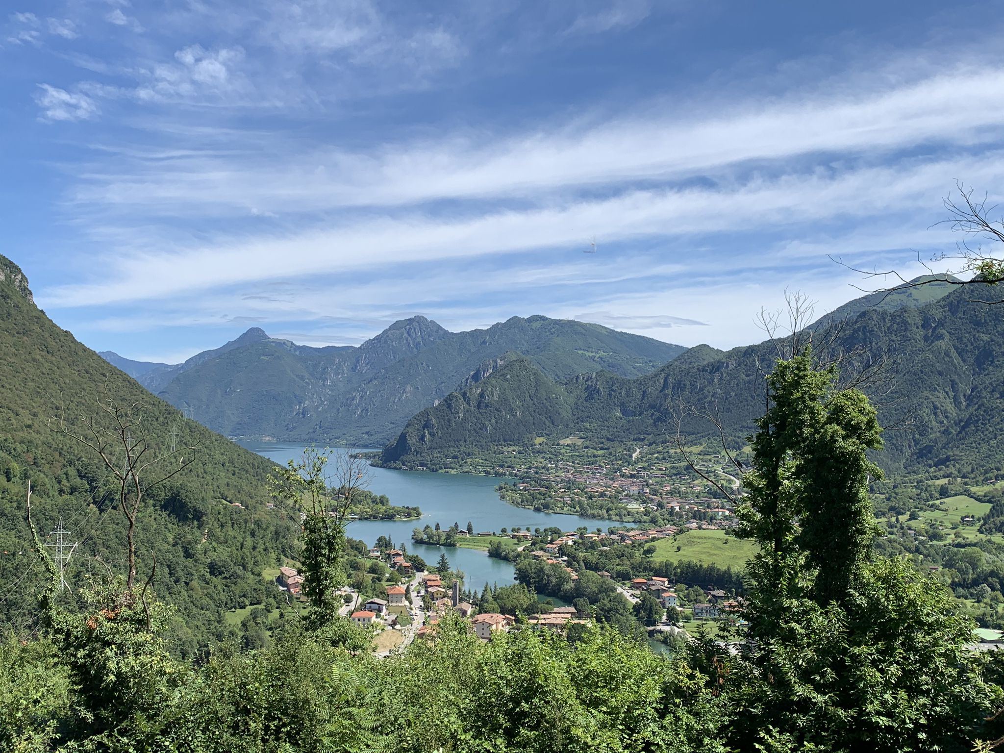
Hiking around Pertica Bassa offers a diverse landscape characterized by the pre-alpine terrain of the Brescia province. The region features a mix of forested valleys, rolling hills, and higher mountain passes, providing varied elevation changes for hikers. Trails often traverse historic paths connecting small villages and lead to scenic viewpoints over the surrounding valleys. This area is part of the larger Valsabbia region, known for its natural beauty and network of established hiking routes.
Best hiking trails in Pertica Bassa
…Last updated: July 7, 2026
4.7
(15)
55
hikers
16.0km
05:48
840m
830m
Mountain trail through varied terrain from valley mist to alpine meadows ending at Passo Pezzeda.
4.3
(14)
44
hikers
19.3km
05:44
550m
550m
Historic ridge walk along Sentiero 3V connecting three valleys with partisan huts and 360-degree alpine views.

Sign up for free
4.0
(6)
16
hikers
8.03km
02:31
280m
280m
Historic cobblestone trail through Pertica Alta's hills, passing ancient churches and WWII resistance paths.
4.2
(5)
13
hikers
9.96km
03:23
440m
450m
Peaceful pilgrimage trail connecting two sacred churches through Lombardy's rolling hills and valleys.
4
hikers
6.03km
02:19
430m
430m
Hike the moderate 3.7-mile Anello Valsabbino trail to Passo della Croce from Ono Degno, gaining 1415 feet with valley views.
Get access to more routes and recommendations from other explorers.
Sign up for free
Already have an account?
Our route recommendations are based on thousands of hikes, rides, and runs completed by other people on komoot.
Start today with a free account
Your next adventure awaits.
Login or Signup
Other adventures around Pertica Bassa

Tips from the Community

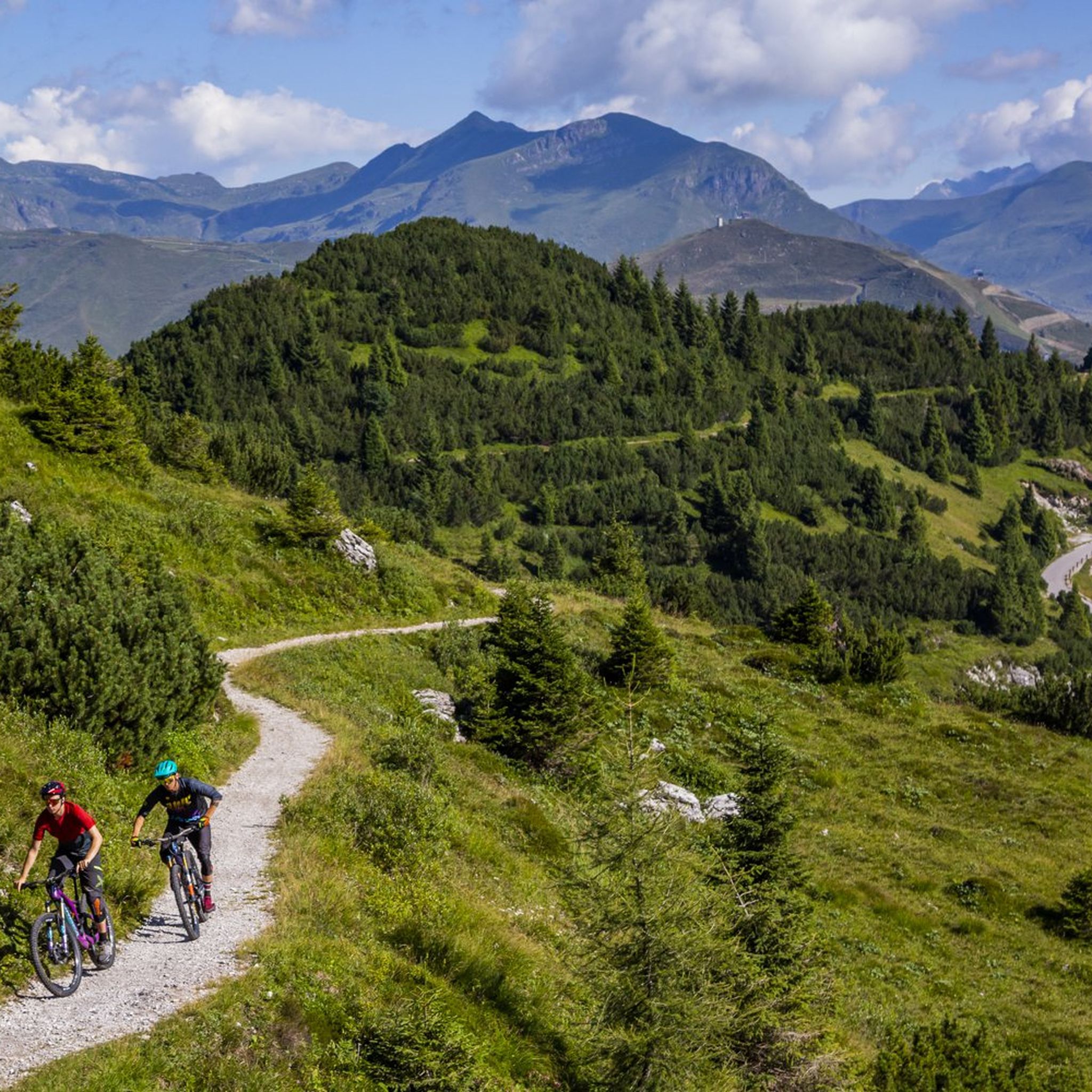
The soldiers' path, a long ledge that can be cycled on, very fun, a little exposed. Arrival at the Tita Secchi hut with a short portage section
0
0

From the refuge a splendid panorama
0
0

The bivouac is located near Cima Caldoline and can be reached either by mountain bike along the mountain pines path
0
0

Very charming village, well looked after and full of colours.
0
0

Beautiful hut next to the Caldoline peak. Splendid view.
1
0
bivouac set in pronounced rock walls in fact not far away there are walls used as climbing gyms. the surrounding landscape is very beautiful with slopes and exposed paths so as to be nicknamed "the small Brescian dolomites". A major slackline event has been held at this place for some years now. The path can be traveled with Mtb but also gravel with generous tires
0
0

Magnificent painted village, reachable after an easy climb which is also the subject of a well-known roller ski race (Nozza-Belprato) in autumn.
0
0
The small church of the Three Valleys is located in the square of the Maniva pass, the starting point of many excursions and a crossing point in the summer months from the Baremone and Crocedomini passes.
2
0
Frequently Asked Questions
How many hiking trails are available in Pertica Bassa?
Pertica Bassa offers a wide variety of hiking experiences with over 425 routes. These trails traverse forested valleys, rolling hills, and historic paths, providing options for all skill levels.
What kind of hiking difficulty can I expect in Pertica Bassa?
The trails in Pertica Bassa cater to diverse abilities. You'll find 64 easy routes perfect for a leisurely stroll, 238 moderate routes for a more engaging walk, and 123 difficult trails for experienced hikers seeking a challenge with significant elevation changes.
Are there any family-friendly hiking trails in Pertica Bassa?
Yes, Pertica Bassa has 64 easy routes that are generally suitable for families. These trails often follow gentler terrain through valleys and historic settlements, providing an enjoyable outdoor experience for all ages. Look for routes with less elevation gain for the most family-friendly options.
Can I find circular hiking routes in Pertica Bassa?
Yes, there are several circular routes available. One popular option is the Valsabbino Ring Trail, a moderate 6.0-mile (9.7 km) hike that offers a complete loop back to your starting point, often completed in about 2 hours 18 minutes.
Are there any trails that lead to scenic viewpoints or mountain passes?
Absolutely. Many trails in Pertica Bassa lead to impressive viewpoints. For a challenging ascent to a mountain pass, consider the Odeno to Passo Pezzeda (via Route 446) route, which is a difficult 9.9-mile (16.0 km) trail with significant elevation gain.
What are some notable natural attractions or landmarks to see while hiking?
The region is rich in natural beauty. You can explore areas with waterfalls, such as the Pisot Waterfall or the Prima Waterfall. The pre-alpine landscape also features historic paths connecting small villages and offering views over the Valsabbia region.
Are there any trails that follow long-distance paths?
Yes, you can experience sections of longer trails. The Sentiero 3V from Rifugio Blachì to Chiesetta delle Tre Valli is a difficult 12.0-mile (19.3 km) path that follows a section of the renowned Sentiero 3V, offering expansive views across multiple valleys.
What do other hikers enjoy most about hiking in Pertica Bassa?
The komoot community highly rates the hiking in Pertica Bassa, with an average score of 4.4 stars from over 3,100 reviews. Hikers often praise the diverse landscape, the well-maintained historic paths, and the rewarding views from mountain passes and viewpoints.
Are there any trails that pass through historic areas or settlements?
Yes, many trails in Pertica Bassa traverse historic paths connecting small villages. For example, the CAI Trail 448 through Pertica Alta's historic paths is a moderate 5.0-mile (8.0 km) trail that leads through forested areas and historic settlements, offering a glimpse into the region's past.
What is the typical duration for a hike in Pertica Bassa?
Hiking durations vary significantly based on the trail's length and difficulty. You can find shorter walks like the CAI Trail 448 which takes about 2 hours 31 minutes, to longer, more challenging routes such as Odeno to Passo Pezzeda, which can take nearly 6 hours.
Are there any trails suitable for advanced hikers looking for a challenge?
Experienced hikers will find plenty of challenging options. With 123 difficult routes, you can tackle trails with significant elevation gain and longer distances. The Odeno to Passo Pezzeda (via Route 446) and Sentiero 3V from Rifugio Blachì to Chiesetta delle Tre Valli are excellent examples of difficult trails offering rewarding experiences.
Most popular routes around Pertica Bassa
Most popular attractions around Pertica Bassa

Get inspired with the komoot mobile app


Explore more
Browse the best Hikes in other regions.
