The best cycling routes around Temù
4.5
(414)
12,929
riders
22
rides
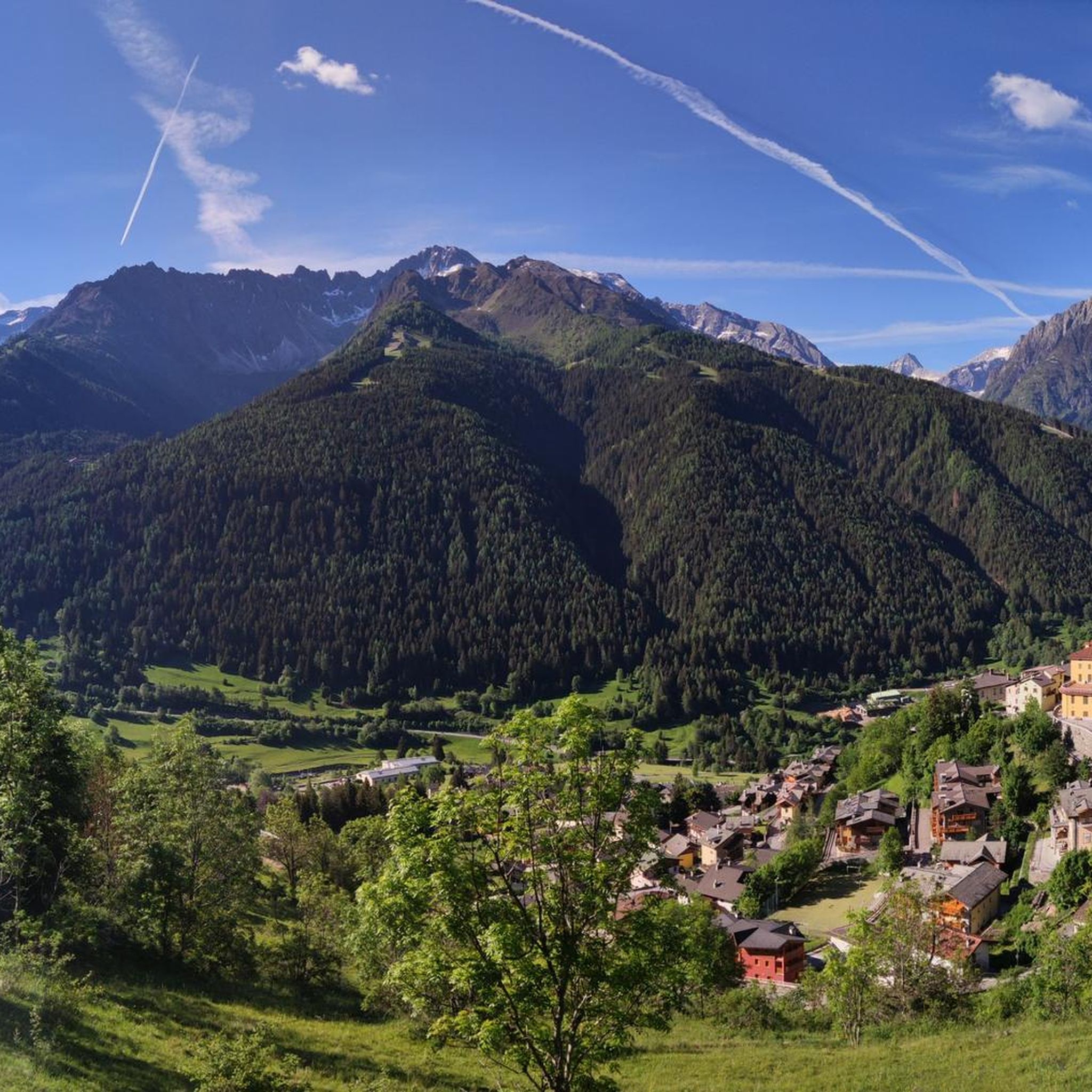
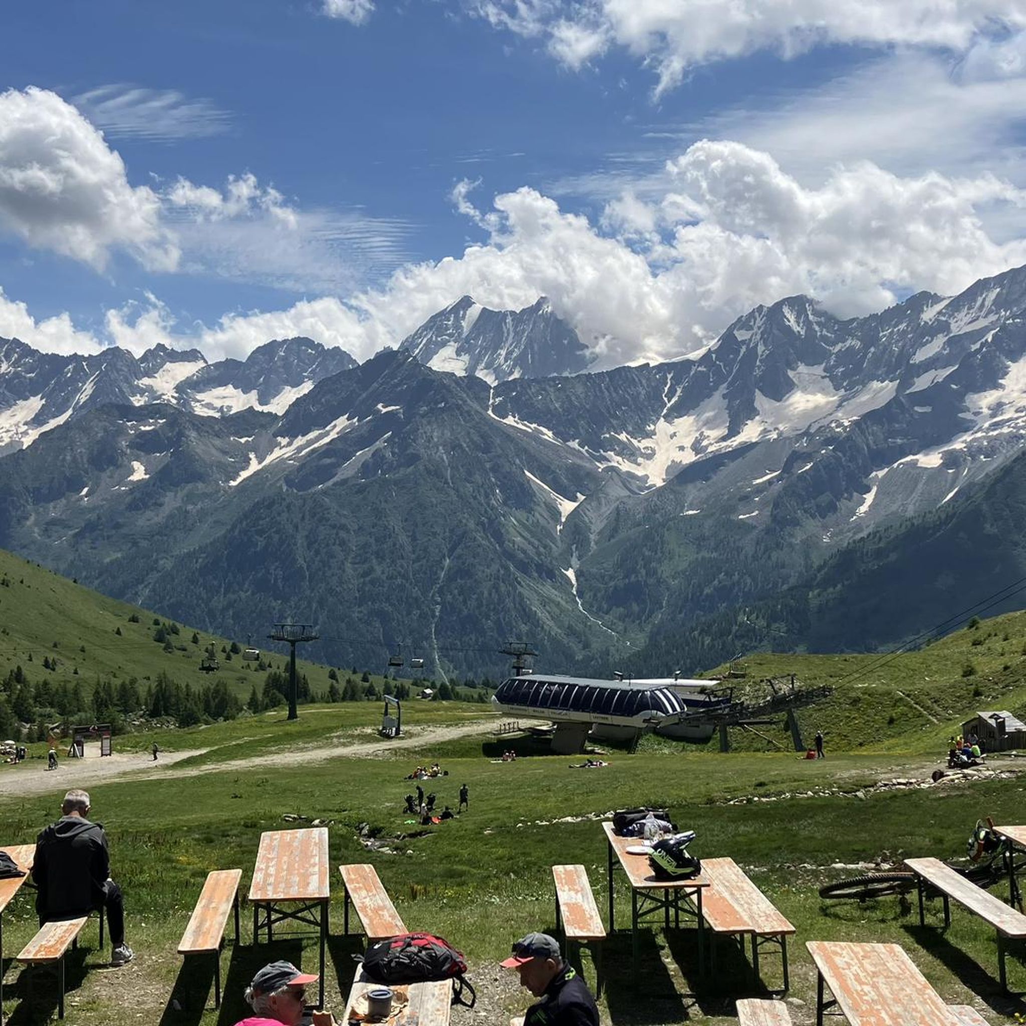
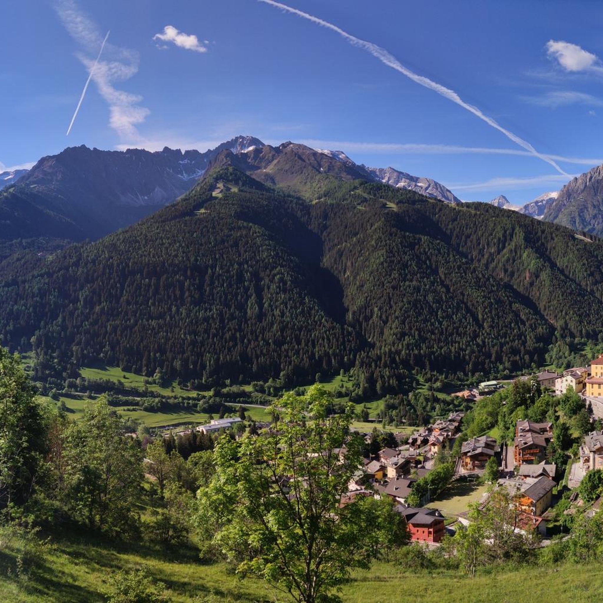
Touring cycling around Temù offers diverse landscapes within the Ponte di Legno-Tonale area, characterized by extensive cycling infrastructure and significant elevation changes. The region features alpine passes, such as those leading to the Tonale Pass, and numerous valleys like Val di Rezzalo, often with military roads suitable for cycling. Dense forests, meandering streams, and views of impressive peaks like Pizzo Tresero and Monte Gavia define the terrain, particularly within the Stelvio National Park and Adamello Brenta Nature Park.
Best touring cycling routes around Temù
- The most popular touring cycling route is Ciclovia dell'Oglio – Tonale Pass War Memorial loop from Temù, a 27.0 miles (43.5 km) trail that takes 4 hours 35 minutes to complete. This difficult route features significant climbs towards the Tonale Pass.
- Another top favourite among local touring cyclists is Ciclovia dell'Oglio – Case di Viso loop from Case Spradizza, a difficult 21.7 miles (34.9 km) path. This route explores the scenic Val di Rezzalo, passing through alpine settings with views of mountain huts.
- Local touring cyclists also love the Ponte di Legno – Ciclovia dell'Oglio loop from Temù, a 28.9 miles (46.5 km) trail leading through the Oglio valley, often completed in about 3 hours 56 minutes.
- Touring cycling around Temù is defined by alpine passes, deep valleys, and routes through national parks like Stelvio and Adamello Brenta. The network offers options for different ability levels, from challenging climbs to more accessible valley paths.
- The routes in Temù are highly rated by the komoot community with an average score of 4.5 stars from over 250 reviews. More than 7000 touring cyclists have used komoot to explore Temù's varied terrain.
Last updated: October 10, 2026
5.0
(10)
1,162
riders
107km
08:22
2,990m
2,990m
Hard bike ride. Very good fitness required. Mostly paved surfaces. Suitable for all skill levels.
4.5
(13)
197
riders
23.0km
01:31
300m
300m
Moderate bike ride. Good fitness required. Mostly paved surfaces. Suitable for all skill levels.

4.3
(11)
160
riders
30.0km
02:00
480m
480m
Hard bike ride. Very good fitness required. Mostly paved surfaces. Suitable for all skill levels.
4.6
(7)
163
riders
43.2km
03:18
990m
990m
Hard bike ride. Very good fitness required. Mostly paved surfaces. Suitable for all skill levels.
5.0
(8)
346
riders
67.1km
05:38
2,250m
2,250m
Hard bike ride. Very good fitness required. Mostly paved surfaces. Suitable for all skill levels.
Get access to more routes and recommendations from other explorers.
Already have an account?
Our route recommendations are based on thousands of hikes, rides, and runs completed by other people on komoot.
Start today with a free account
Your next adventure awaits.
Popular around Temù




Tips from the Community


A coffee break is needed.
0
0


The Military Shrine of Passo del Tonale is a monumental ossuary monument located at 1,884 meters above sea level on the geographical border between Lombardy and Trentino-Alto Adige. It commemorates the fallen of the so-called "White War", the extremely harsh high-altitude battles fought on the Adamello and Ortles massifs during World War I.
0
0

Open to traffic again mid-September 25
1
0

If you walk half an hour from the Gavia Pass towards the Friendship Bridge, you'll have a beautiful view of the Dosegu glacier.
1
0

Currently fully closed road and cycle path
0
0

the first 5 km from Edolo are challenging...continuous ups and downs with short bursts, but very challenging slopes. The remaining ones up to Ponte di Legno become much more pleasant and rideable and also from a landscape point of view this stretch is very rewarding - Approved !!
0
0
Frequently Asked Questions
How many touring cycling routes are available around Temù?
There are nearly 20 touring cycling routes around Temù, offering a variety of experiences. These routes are highly rated by the komoot community, with an average score of 4.5 stars from over 250 reviews.
What kind of landscapes can I expect while cycling in Temù?
Temù, located in the Ponte di Legno-Tonale area, offers diverse landscapes for touring cyclists. You'll encounter extensive cycling infrastructure, significant elevation changes, alpine passes, and numerous valleys like Val di Rezzalo. The terrain features dense forests, meandering streams, and stunning views of impressive peaks such as Pizzo Tresero and Monte Gavia, especially within the Stelvio National Park and Adamello Brenta Nature Park.
Are there any circular touring cycling routes in the Temù area?
Yes, many routes around Temù are designed as loops. For example, the Ciclovia dell'Oglio – Tonale Pass War Memorial loop from Temù is a challenging 27-mile route with significant climbs. Another option is the Ponte di Legno – Ciclovia dell'Oglio loop from Temù, which takes you through the scenic Oglio valley.
What are some notable landmarks or natural features to see along the cycling routes?
The region is rich in natural beauty and historical landmarks. You can explore the scenic Val di Rezzalo, known for its alpine setting and mountain huts, or challenge yourself on alpine passes like Passo dell'Alpe (2461 m). The Tonale Pass War Memorial is also a significant point of interest. For natural features, look out for the Remulo Stream Waterfalls or the Waterfall and wooden bridge near Passo Gavia.
Are there any family-friendly cycling options around Temù?
While many routes feature significant climbs, the extensive network includes options for different ability levels. The region's well-signposted paths and dedicated cycle infrastructure, like parts of the Ciclovia dell'Oglio, can offer more accessible sections suitable for families, especially in flatter valley areas. Always check the route's difficulty and elevation profile on komoot before heading out.
What is the best season for touring cycling in Temù?
The best season for touring cycling in Temù is generally from late spring to early autumn. During these months, the weather is more favorable, and the alpine passes are typically clear of snow, allowing access to the full range of routes. Summer offers warm temperatures, while spring and autumn provide cooler rides and beautiful seasonal foliage.
Are there any routes that pass through national parks?
Yes, touring cycling around Temù offers routes that traverse or border significant national parks. You can find paths within the Stelvio National Park, particularly in areas like Val di Rezzalo, and the Adamello Brenta Nature Park, which is Italy's largest protected area in Trentino. These parks provide a stunning backdrop of unique landscapes and diverse ecosystems.
Where can I find parking for cycling routes in Temù?
Temù and the surrounding villages in the Ponte di Legno-Tonale area generally offer parking facilities. For specific routes, it's advisable to check the starting point of your chosen tour on komoot, as many routes begin from easily accessible locations with designated parking areas, such as Case Spradizza or Vione.
Can I access cycling routes via public transport in Temù?
The Ponte di Legno-Tonale area, including Temù, is generally well-connected. Public transport options, such as local buses, often serve the main villages and can help you reach various starting points for cycling routes. It's recommended to check local bus schedules and policies regarding bicycle transport in advance.
What is the difficulty level of touring cycling routes in Temù?
Touring cycling routes around Temù vary significantly in difficulty. You'll find a mix of easy, moderate, and difficult trails. The region is known for its challenging climbs towards alpine passes, but also offers more accessible valley paths. For instance, the Valle Camonica Cycle Path – Picnic Area in Vezza d'Oglio loop from Vione is a difficult route covering over 32 miles with substantial elevation gain.
Are there any routes that offer views of impressive peaks?
Absolutely. Many routes in the Temù area provide spectacular views of the surrounding mountains. For example, cycling through Val di Rezzalo offers views of Pizzo Tresero, Monte Gavia, and Cima Savoretta. The Pezzo Mountain Village also provides splendid views of the Adamello Group, making for a truly memorable cycling experience.
Are there any cafes or stops along the cycling routes in Temù?
Yes, the region has charming mountain villages and towns where you can find cafes, restaurants, and accommodation. Routes often pass through or near these spots, allowing for convenient stops. For example, the Ciclovia dell'Oglio – Valle Camonica Cycle Path loop from Vione covers a significant distance, providing opportunities to stop in various towns along the way.
Most popular attractions around Temù

Get inspired with the komoot mobile app


Explore more
Browse the best Cycling routes in other regions.
