The best road cycling routes in the San Franciso Peaks
4.6
(14)
482
riders
16
rides
Road cycling routes in the San Franciso Peaks traverse a unique volcanic mountain range in Arizona, characterized by diverse natural features and significant elevation changes. The region features a striking geological display of volcanic rock, deep alpine forests, and ancient lava flows, with Humphreys Peak reaching 12,633 feet. Cyclists encounter varied terrain, transitioning from ponderosa pine forests at lower elevations to mixed conifer forests higher up, providing a dynamic and engaging experience on paved roads.
Best road cycling routes in…
Last updated: July 8, 2026
58
riders
49.6km
02:47
860m
860m
Cycle the Flagstaff to Snow Bowl via North Snow Bowl Road, a 30.8-mile moderate climb with 2826 feet of gain and stunning mountain views.
16
riders
113km
05:19
1,370m
1,370m
Cycle the difficult 70.4-mile Flagstaff to Sedona via 89A route through Coconino National Forest, featuring dramatic canyon scenery and red

Sign up for free
9
riders
91.6km
04:23
1,120m
1,120m
This road cycling route from Sunset Crater to Nalakihu Pueblo offers a unique journey through Northern Arizona's diverse landscapes, blending volcanic terrain with high desert grasslands. You'll start among the…
4
riders
78.8km
03:33
610m
610m
Cycle the moderate 48.9-mile Leupp Road Volcano View route near Flagstaff for scenic volcanic landscapes and mountain views.
5.0
(1)
3
riders
80.3km
03:29
760m
760m
This moderate 49.9-mile road cycling route from Humphrey's Peak View Picnic Area to Red Mountain Trailhead offers challenging climbs and sce
163km
07:21
1,340m
1,340m
The Flagstaff to Cameron Trading Post century ride is a difficult 101.3-mile road cycling route with 4405 feet of elevation gain.
5.0
(2)
90
riders
47.8km
01:55
190m
190m
Easy road ride. Great for any fitness level. Mostly well-paved surfaces and easy to ride.
5.0
(1)
29
riders
37.2km
01:46
280m
280m
Moderate road ride. Great for any fitness level. Some segments of this route may be unpaved and difficult to ride.
15
riders
30.3km
02:01
670m
670m
Moderate road ride. Good fitness required. Some segments of this route may be unpaved and difficult to ride.
4.0
(1)
11
riders
16.4km
00:51
60m
60m
Easy road ride. Great for any fitness level. Mostly well-paved surfaces and easy to ride.
Get access to more routes and recommendations from other explorers.
Sign up for free
Already have an account?
Our route recommendations are based on thousands of hikes, rides, and runs completed by other people on komoot.
Start today with a free account
Your next adventure awaits.
Login or Signup
Popular around San Franciso Peaks

Arizona Trail — A beautiful 800-mile struggle

Adventure Cycling Association's Bicycle Route 66 — LA to Chicago

The Arizona Trail — From Mexico to Utah in 43 days
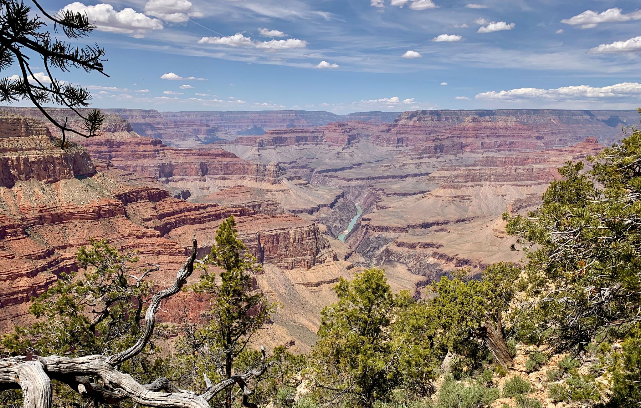
Arizona to Colorado – national parks and Native American culture
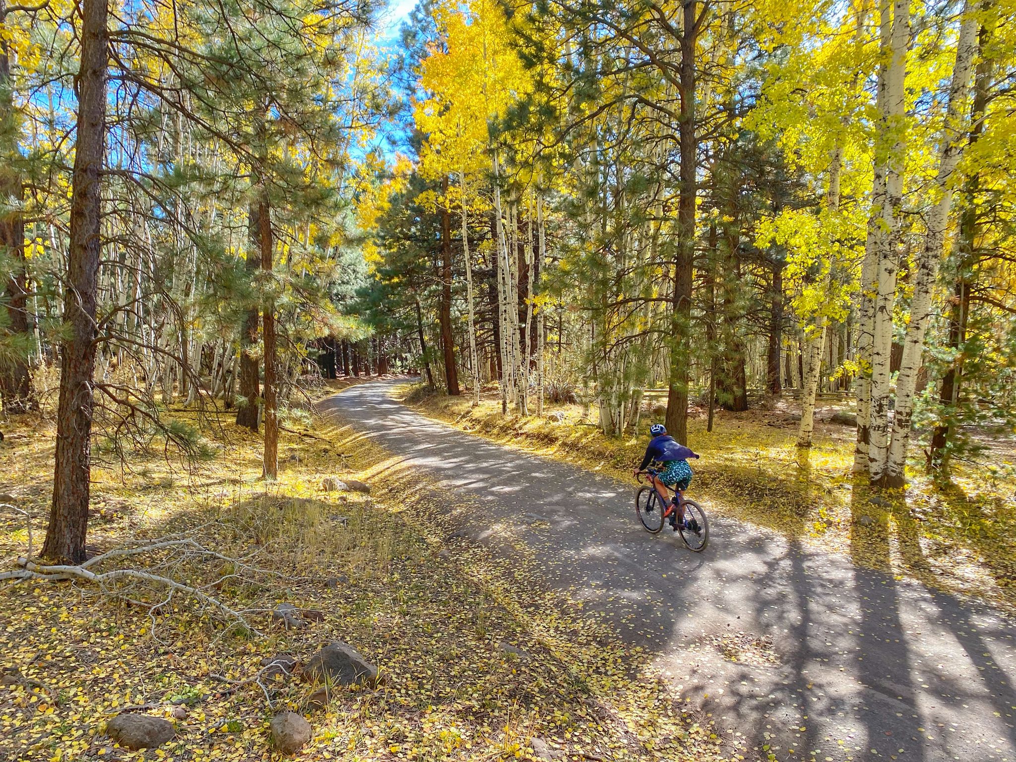
Grand Canyon to Mount Humphreys — a run, bike, run adventure
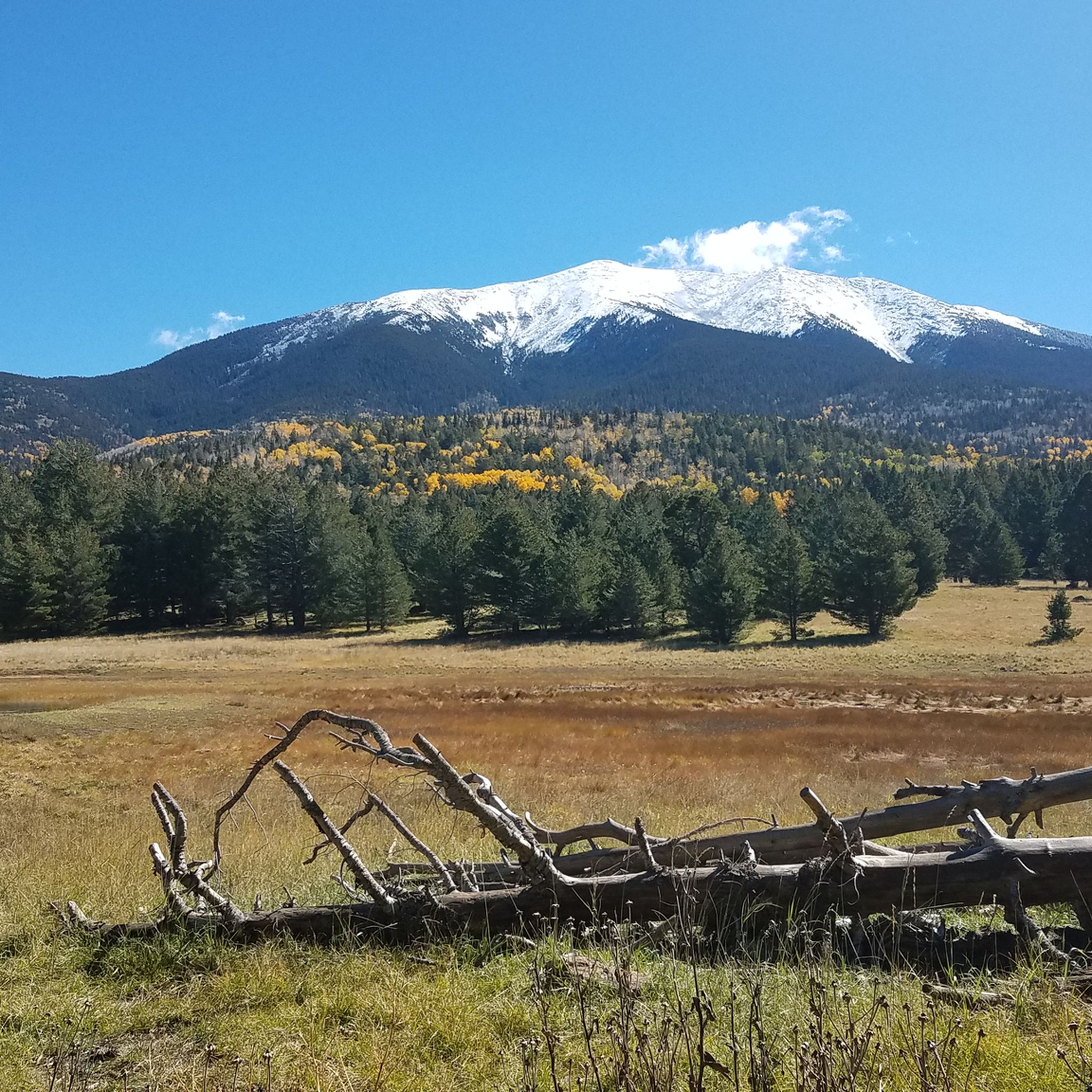
Hiking in the San Franciso Peaks
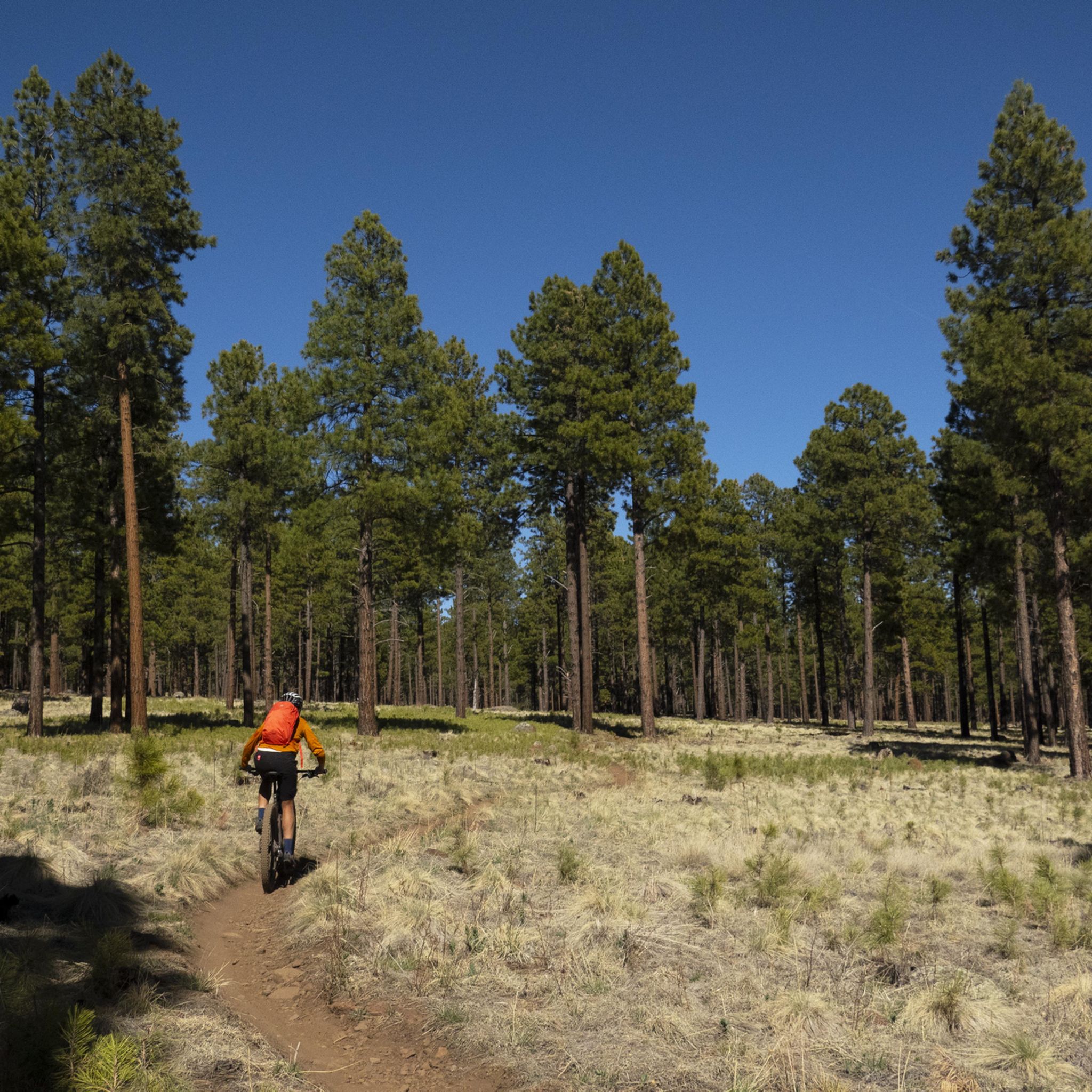
MTB Trails in the San Franciso Peaks
Running Trails in the San Franciso Peaks

Gravel biking in the San Franciso Peaks
Cycling in the San Franciso Peaks
Other adventures in the San Franciso Peaks


Tips from the Community

This is a small paved segment of the FUTS trail system that connects South Walapai Drive to J W Powell Boulevard, where the JWP section of the trail system picks up along the south side of the road.
0
0

The most northern section of the Karen Cooper Trail passes through Cheshire Park, which backs up to a fair bit of Open Space. This is a popular spot for people walking their dogs or people looking for some quiet green space.
0
0

When you travel around Flagstaff you will literally be surrounded by volcanoes. There are many place along the road you can take a detour and either admire the volcanoes from below, or hike up to the top and peer into the crater.
0
0
Much of the Historic Route 66 has been paved over by more modern Highways and Interstates. However, here in Flagstaff this trail aims to preserve a bit of automotive history by allowing people to explore the historic route by foot or by bike.
0
0
Highway 89 runs North-South through here between Page and Flagstaff. Arizona 64 runs westward into Grand Canyon National Park. If you can find what you need here, just a short distance northwards is the Cameron Trading Post which should get you sorted out.
0
0
Cameron Trading Post sits near the crossroads of Highway 89 and Arizona Route 64, which will take you into Grand Canyon National Park. The trading post is a real one stop shop with a restaurant, gift shop, general store, picnic tables, and overnight accommodation.
0
0
Just off the highway is the trail out to Red Mountain, a cinder cone volcano with a distinct, natural u-shaped amphitheater. The trail out is only a half hour hike and worth the effort if you have the time to explore.
0
0

Great afternoon road ride with ample parking and no fees
0
0
Frequently Asked Questions
How many road cycling routes are available in the San Francisco Peaks?
There are over 15 road cycling routes available in the San Francisco Peaks, catering to various skill levels. You'll find a mix of easy, moderate, and difficult rides to explore the region's unique landscapes.
What is the best time of year for road cycling in the San Francisco Peaks?
The best time for road cycling is typically from late spring through early fall. During these months, you can enjoy the diverse elevation zones, from ponderosa pine forests to mixed conifer areas, and experience the dramatic fall colors. Winter months bring snow, transforming the area into a winter sports destination, making road cycling less feasible.
What kind of terrain and elevation can I expect on road cycling routes in the San Francisco Peaks?
The San Francisco Peaks offer a dynamic road cycling experience with significant elevation changes. Routes traverse a unique volcanic mountain range, featuring striking geological displays, deep alpine forests, and ancient lava flows. You'll encounter varied terrain, from winding roads through pine and aspen forests to more open, high-altitude stretches, providing both challenging climbs and scenic descents.
Are there road cycling routes suitable for beginners or those looking for an easier ride?
Yes, there are several easier road cycling routes. For instance, the Lower Lake Mary loop from Flagstaff is an easy 20.8-mile trail that leads through forested areas with views of the Peaks, often completed in about 1 hour 22 minutes. This route offers minimal elevation gain, making it a great option for a more relaxed ride.
Are there challenging road cycling routes for experienced cyclists?
Absolutely. Experienced cyclists can tackle routes with substantial elevation gain and longer distances. The Flagstaff to Sedona via 89A is a difficult 70.4-mile path connecting two towns with significant elevation changes and varied landscapes. Another challenging option is the Sunset Crater to Nalakihu Pueblo route, which covers over 90 km with considerable climbing.
What scenic views or natural features can I expect to see while road cycling in the San Francisco Peaks?
Road cycling in the San Francisco Peaks offers breathtaking views. You can expect to see diverse landscapes, from ponderosa pine forests to alpine tundra. On clear days, distant glimpses of the Grand Canyon are possible. The area is also known for its dramatic fall colors in the pine and aspen forests. Specific routes like Snowbowl Road offer stunning mountain scenery, and Lake Mary Road provides incredible views of the Peaks.
Are there any specific landmarks or points of interest along the road cycling routes?
Yes, the region is rich with natural and historical landmarks. You might pass by or have views of Humphreys Peak, Arizona's highest point, or the Elden Mountain Lookout Tower. The Sunset Crater volcano, with its distinctive red and black landscapes, is another unique geological site in the area. Many routes also offer views of Kendrick Peak.
Where can I find parking for road cycling routes in the San Francisco Peaks?
Parking is generally available at trailheads and designated areas near popular routes. For routes starting from Flagstaff, you can often find parking within the city or at specific points along the route. It's advisable to check specific route details for recommended parking locations, especially for longer or more remote rides.
Can I find places to eat or stay near the road cycling routes?
Yes, Flagstaff, being a Silver Level Bicycle-Friendly Community, offers numerous cafes, pubs, and accommodation options. Many road cycling routes either start from or pass through areas with amenities, allowing you to refuel and relax. For example, the Downtown Flagstaff area is a hub for such services.
Are there road bike rental options available in the San Francisco Peaks area?
Given Flagstaff's reputation as a cycling-friendly city, you can find several local bike shops that offer road bike rentals. It's recommended to search for bike rental services in Flagstaff prior to your visit to ensure availability and suitable equipment for your planned routes.
What do other road cyclists enjoy most about cycling in the San Francisco Peaks?
The San Francisco Peaks region is highly rated by the komoot community, with an average score of 4.75 stars from over 10 reviews. Cyclists often praise the challenging climbs, the stunning volcanic landscapes, and the diverse natural features. The varied terrain, from winding roads through forests to high-altitude stretches, provides a dynamic and engaging experience that is frequently highlighted in reviews.
Are there any road cycling routes with minimal traffic?
While specific traffic levels can vary, routes like Lake Mary Road are renowned for road cyclists, often featuring a wide bicycle lane that helps separate cyclists from vehicle traffic. Exploring routes during off-peak hours or weekdays can also contribute to a more serene cycling experience with less traffic.
Most popular routes in the San Franciso Peaks
Most popular attractions in the San Franciso Peaks

Get inspired with the komoot mobile app


Explore more
Browse the best Road cycling routes in other regions.
