The best walks and hikes around Olgiate Comasco
4.4
(3675)
18,625
hikers
10
hikes
Hiking trails around Olgiate Comasco traverse a landscape shaped by morainic hills and the Lura River valley. This area, situated in the Province of Como, offers undulating terrain and green environments suitable for exploration. The region's proximity to the Prealps and Lake Como provides access to more extensive mountainous areas for diverse hiking experiences. Trails often follow river paths or wind through the characteristic morainic formations.
Best hiking trails around Olgiate Comasco
- The most popular hiking route is Laan Territorial…
Last updated: July 1, 2026
4.8
(4)
14
hikers
4.67km
01:14
40m
40m
Easy hike. Great for any fitness level. Easily-accessible paths. Suitable for all skill levels.
3.0
(1)
11
hikers
12.7km
03:23
140m
140m
Moderate hike. Good fitness required. Easily-accessible paths. Suitable for all skill levels.

Sign up for free
4.0
(1)
7
hikers
5.82km
01:34
70m
70m
Easy hike. Great for any fitness level. Easily-accessible paths. Suitable for all skill levels.
5.0
(1)
3
hikers
15.4km
04:12
230m
230m
Moderate hike. Good fitness required. Easily-accessible paths. Suitable for all skill levels.
4.0
(5)
10
hikers
6.20km
01:41
80m
80m
Easy hike. Great for any fitness level. Easily-accessible paths. Suitable for all skill levels.
Get access to more routes and recommendations from other explorers.
Sign up for free
Already have an account?
Our route recommendations are based on thousands of hikes, rides, and runs completed by other people on komoot.
Start today with a free account
Your next adventure awaits.
Login or Signup
Tips from the Community

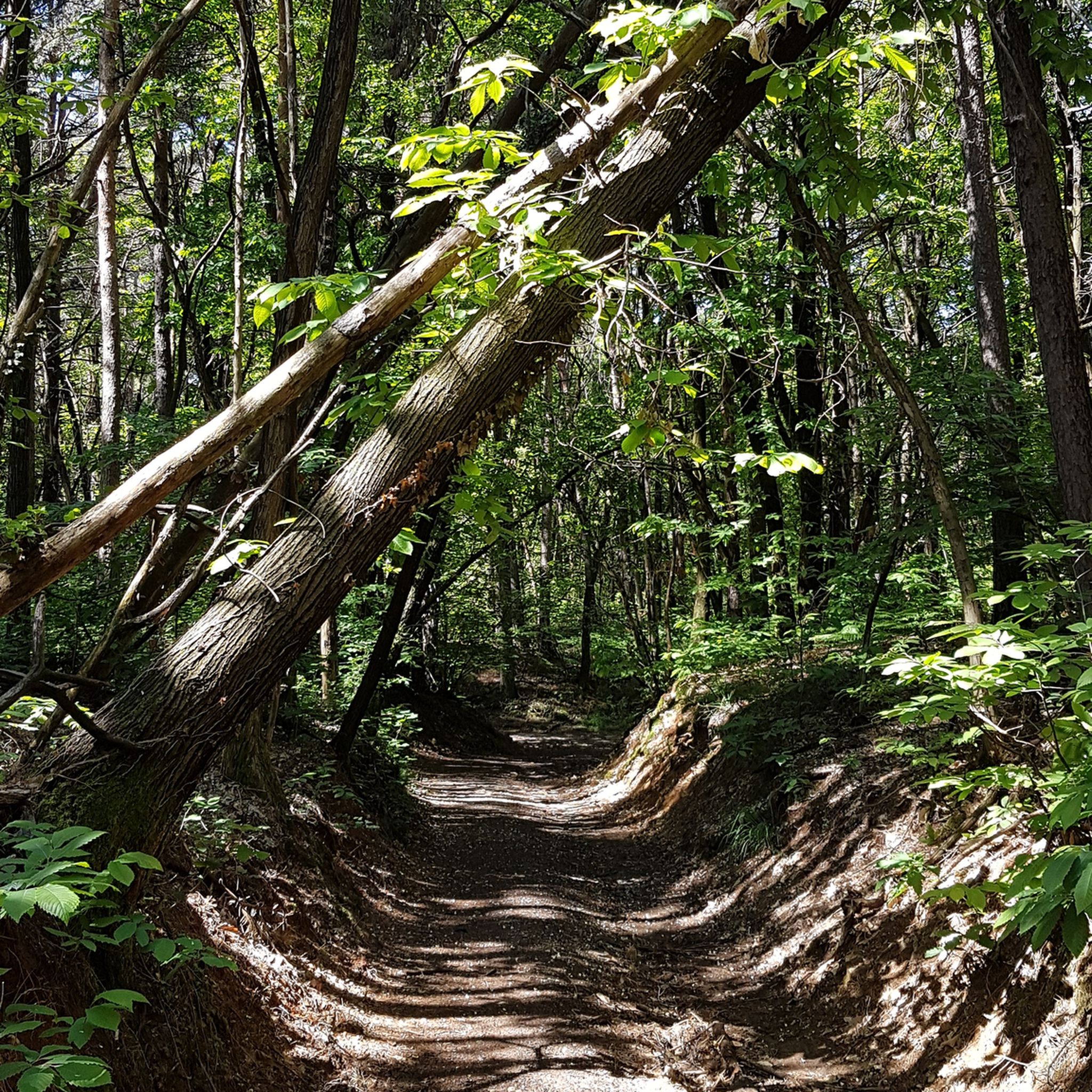
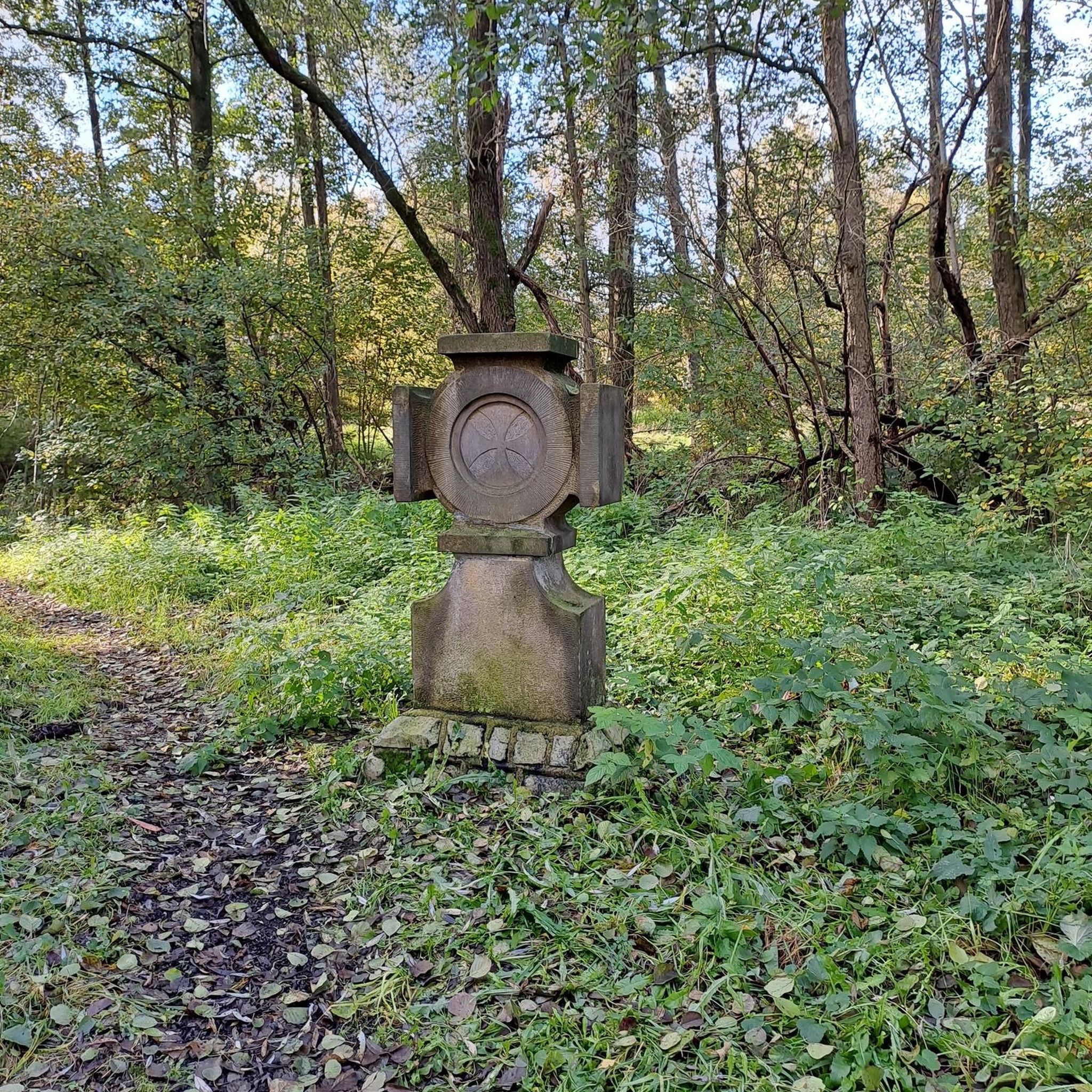
The walk along the stream is simple and flat, and can also be done by bike and on horseback. It's a shame that the paths on the hill are blocked by many fallen trees. The municipality should do maintenance as soon as possible. In the meantime, I advise you not to venture into the foliage unless you want an adventure or have a machete.
2
0

Excellent meat and excellent cheeses. A reference point for food shopping
0
0

The Parco Sorgenti del torrente Lura is a local park of supra-municipal interest established by 10 Municipalities of the Province of Como with the aim of protecting and enhancing the catchment area of various watercourses in the area north of Milan, including the most important is the Lura stream.
0
0

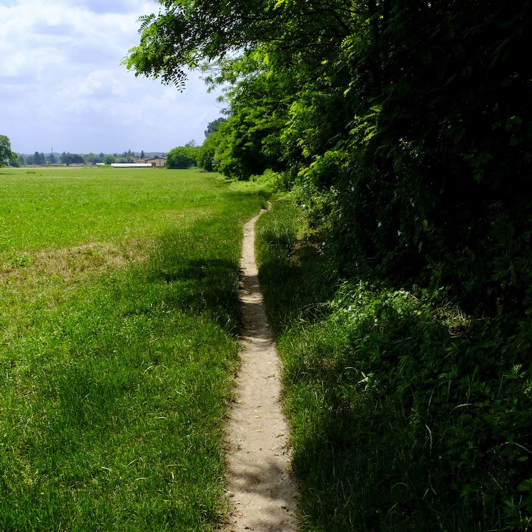
Pleasant path that runs along the Lura stream between the towns of Gironico and Lurate.
1
0
Frequently Asked Questions
How many hiking trails are available around Olgiate Comasco?
There are over 10 hiking routes documented around Olgiate Comasco, offering a variety of experiences. These range from easy strolls along river paths to more moderate trails with some elevation gain through the morainic hills.
What kind of terrain should I expect on hikes in Olgiate Comasco?
The hiking terrain around Olgiate Comasco is primarily characterized by undulating morainic hills and lush green paths along the Lura River valley. While many local trails are gentle, the region's proximity to the Prealps means you can also find more varied and challenging landscapes within a short distance, offering diverse options from river walks to more strenuous mountain treks.
Are there any easy, family-friendly walks in Olgiate Comasco?
Yes, Olgiate Comasco offers several easy and family-friendly options. A great choice is the Laan Territorial Trail loop from Colverde, which is an easy 2.9-mile (4.7 km) route exploring the local morainic hills. Another pleasant option is the Torrente Lura – Laan Territorial Trail loop from Colverde, an easy 4.5-mile (7.3 km) path that follows the Lura River.
Can I find circular hiking routes in the area?
Yes, many of the hiking routes around Olgiate Comasco are circular, allowing you to start and end at the same point. For example, the Laan Territorial Trail – Torrente Lura loop from Beregazzo con Figliaro is a 7.9-mile (12.7 km) circular trail that takes you through morainic hills and along the Lura River.
What are the best times of year to go hiking in Olgiate Comasco?
The region generally enjoys pleasant weather from spring through early autumn, making April to October an ideal period for hiking. During these months, you can best experience the lush landscapes and comfortable temperatures.
Are there any interesting natural attractions or landmarks to see on the trails?
Yes, the area boasts several interesting natural features. You can explore the morainic hills, remnants of ancient glacial activity, and enjoy the serene Lura River valley. Additionally, nearby attractions include the Sandstone Caves of the Molera Gorges and the Breggia Gorge Park, offering unique geological sights.
What do other hikers say about the trails in Olgiate Comasco?
The routes in Olgiate Comasco are highly rated by the komoot community, with an average score of 4.4 stars from over 3,400 reviews. Hikers often praise the quiet woodlands, well-marked paths, and the pleasant mix of river scenery and rolling hills.
Are there any dog-friendly hiking trails in Olgiate Comasco?
Many trails in the Olgiate Comasco area are suitable for dogs, especially those along the Lura River and through the morainic hills. It's always recommended to keep your dog on a leash and be mindful of local regulations and other hikers.
Where can I find parking for trailheads in Olgiate Comasco?
Parking is generally available near the starting points of many popular trails, particularly in and around the villages like Colverde and Beregazzo con Figliaro. Specific parking information can often be found on individual route pages on komoot.
Can I reach hiking trails in Olgiate Comasco using public transport?
Olgiate Comasco has local bus services that connect to surrounding areas. While some trailheads might be accessible directly by bus, others may require a short walk from the nearest stop. Planning your route in advance using public transport apps is recommended to confirm accessibility.
Are there any longer, more challenging hikes available near Olgiate Comasco?
While trails directly within Olgiate Comasco are generally easy to moderate, its strategic location provides convenient access to the broader Lake Como region and the nearby Prealps. This allows for day trips to more demanding mountain hikes with significant elevation gain, such as those leading to Monte Resegone and Grigne Massif, offering a greater challenge.
What is the longest hiking route directly in the Olgiate Comasco area?
One of the longer routes directly in the area is the Torrente Lura – Trail in the woods loop from Beregazzo con Figliaro. This moderate trail covers about 9.5 miles (15.3 km) and features an elevation gain of approximately 230 meters.
Most popular routes around Olgiate Comasco
Most popular attractions around Olgiate Comasco

Get inspired with the komoot mobile app


Explore more
Browse the best Hikes in other regions.
