The best cycling routes in the Sam Sao Range
4.4
(40)
226
riders
6
rides
Touring cycling in the Sam Sao Range, situated near Vang Vieng in Laos, provides routes through varied terrain. The area is defined by its distinctive karst landscapes, river valleys, and a combination of cultural landmarks and natural features. Sam Sao Range cycling routes often connect temples, lagoons, and viewpoints, offering diverse experiences for cyclists.
Best touring cycling routes in the Sam Sao Range
- The most popular touring cycling route is Sysoumangkhararam Temple – Blue Lagoon 3 loop from Vangvieng District…
Last updated: July 5, 2026
4.7
(21)
120
riders
Moderate bike ride. Good fitness required. Mostly paved surfaces. Suitable for all skill levels.
4.5
(10)
63
riders
Easy bike ride. Great for any fitness level. Mostly paved surfaces. Suitable for all skill levels.

Sign up for free
4.5
(4)
14
riders
Moderate bike ride. Good fitness required. Mostly paved surfaces. Suitable for all skill levels.
5.0
(1)
6
riders
Moderate bike ride. Good fitness required. Mostly paved surfaces. Suitable for all skill levels.
4.7
(3)
18
riders
35.9km
02:21
200m
200m
Hard bike ride. Good fitness required. You may need to push your bike for some segments of this route.
3.0
(1)
6
riders
Easy bike ride. Great for any fitness level. Mostly paved surfaces. Suitable for all skill levels.
Our route recommendations are based on thousands of hikes, rides, and runs completed by other people on komoot.
Start today with a free account
Your next adventure awaits.
Login or Signup
Popular around Sam Sao Range
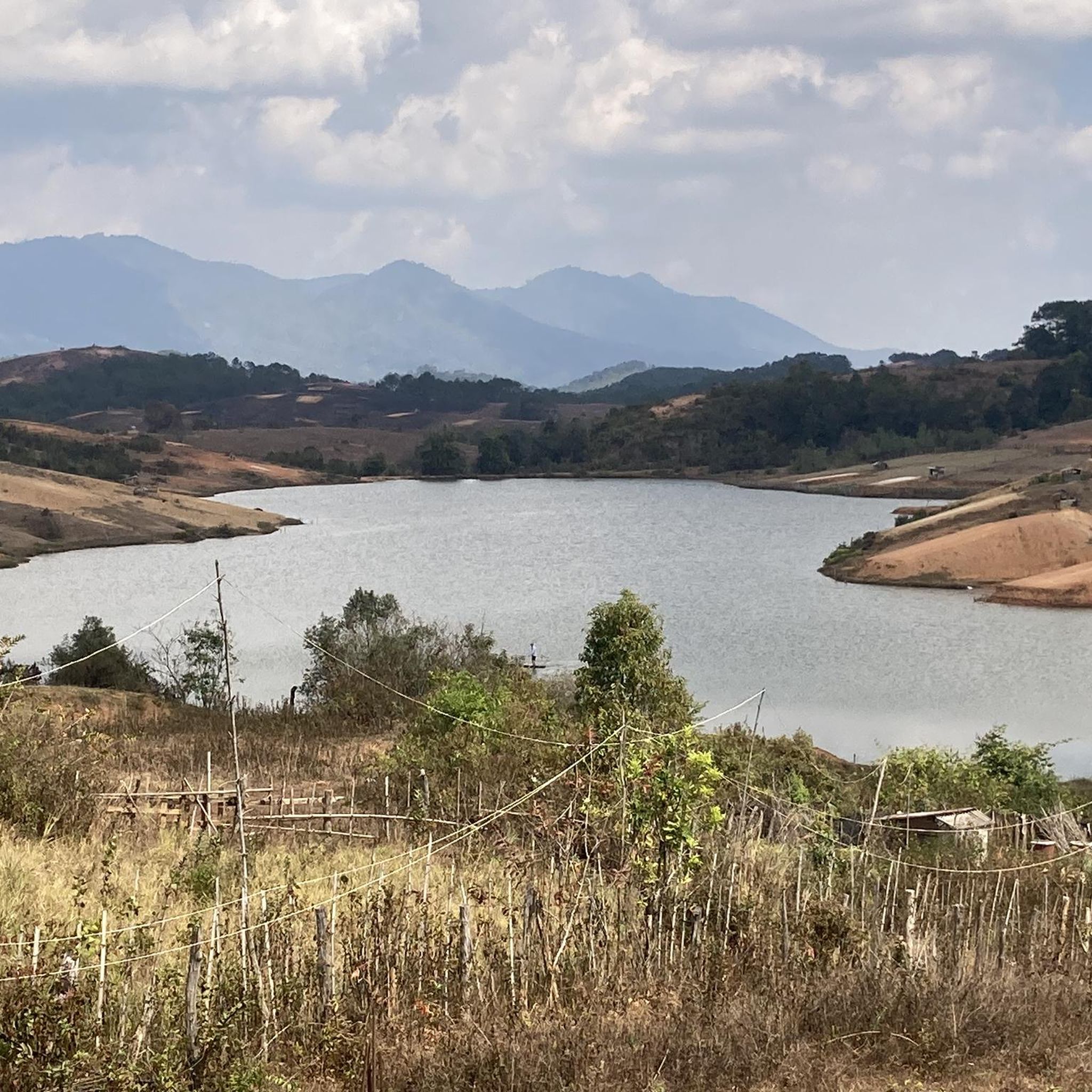
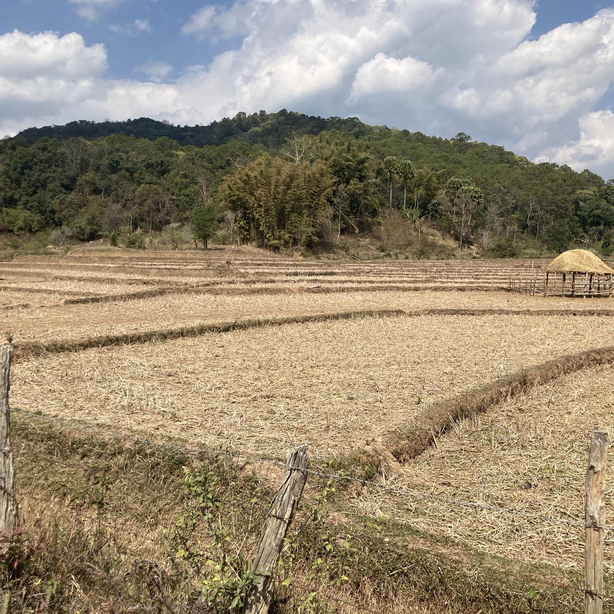
Tips from the Community

Don‘t forget to visit the cave. A short steep walk from the lagoon.
1
0

Blue Lagoon No. 4 – this is a wonderful place to swim and relax. An entrance fee is charged unless the guard is taking his afternoon nap...
0
0


Especially at sunset (and at sunrise if you're an early riser, when it's much less crowded), you have a fantastic view of the region and the karst mountains. The path up is secured with ropes and bamboo poles. Sturdy shoes are recommended. It gets crowded in the evenings. Easily accessible from Vangvieng by tuk-tuk, bicycle, or scooter. It's likely to be very slippery in the rain!
0
1
Not far from Vang Veng, you can visit four caves in a row. In the first one, you can even go tubing. In the other two, you can walk quite a way inside (with good footwear! The floors are wet and slippery; headlamps can be rented there) until it gets increasingly narrow and low. There are stalactites and stalagmites. In the fourth cave, there's a stalactite that looks like an elephant. Easily accessible from Vang Veng by tuk-tuk.
0
0


The most beautiful temple in Vang Vieng with its own charm!
0
0

Frequently Asked Questions
How many touring cycling routes are available in the Sam Sao Range?
There are currently 6 touring cycling routes available in the Sam Sao Range on komoot. These routes offer a mix of easy, moderate, and difficult options to suit various skill levels.
What is the overall difficulty level for touring cycling in the Sam Sao Range?
The Sam Sao Range offers a diverse range of touring cycling routes. You'll find 2 easy routes, 3 moderate routes, and 1 difficult route, catering to different experience levels.
What natural attractions can I explore while cycling in the Sam Sao Range?
Many touring cycling routes in the Sam Sao Range pass by stunning natural features. You can visit the famous Tham Chang Cave, enjoy the refreshing waters of Blue Lagoon, Vang Vieng, or discover the impressive Tham Phu Kham Cave. Some routes also lead to waterfalls, such as the one featured in the Kaeng Yui Waterfall – Sysoumangkhararam Temple loop from Vangvieng District.
Are there cultural landmarks to visit on a touring cycling route in the Sam Sao Range?
Yes, the Sam Sao Range is rich in cultural sites. Many routes incorporate visits to temples, such as those starting or ending at Sysoumangkhararam Temple. You can also experience local life at the Vang Vieng Night Market or the Vang Vieng Morning Market, as seen on the Sysoumangkhararam Temple – Vang Vieng Morning Market loop from Phonepheng.
Can I find circular touring cycling routes in the Sam Sao Range?
Absolutely. Many of the touring cycling routes in the Sam Sao Range are designed as loops, allowing you to start and end at the same point. Examples include the Sysoumangkhararam Temple – Blue Lagoon 3 loop from Vangvieng District and the Sysoumangkhararam Temple – Tham Phu Kham Cave loop from Vangvieng District.
What is the terrain like for touring cyclists in the Sam Sao Range?
The Sam Sao Range is characterized by its distinctive karst landscapes, river valleys, and a mix of paved and unpaved paths. Routes often feature moderate elevation changes, with some climbs to viewpoints, offering varied and engaging cycling experiences.
Are there good viewpoints along the cycling routes in the Sam Sao Range?
Yes, the region offers several stunning viewpoints. The Sysoumangkhararam Temple – View from Nam Xay Viewpoint loop from Vangvieng District specifically leads to the popular View from Nam Xay Viewpoint. You can also find other scenic spots like the Impressive Viewpoint Over the Quiet Valley and the View of the Mountains at Sunset.
Is the Sam Sao Range suitable for family cycling trips?
Yes, the Sam Sao Range offers several easy touring cycling routes that are suitable for families. These routes often feature gentler terrain and shorter distances, allowing for an enjoyable experience for all ages. For example, the Sysoumangkhararam Temple – Tham Phu Kham Cave loop from Vangvieng District is an easy 9.5-mile path.
What do other cyclists enjoy most about touring cycling in the Sam Sao Range?
The Sam Sao Range is highly rated by the komoot community, with an average score of 4.6 stars from over 30 reviews. Cyclists often praise the region's diverse landscapes, which combine cultural sites like temples with natural wonders such as karst formations, caves, and river paths. The variety of routes, from easy to difficult, is also frequently highlighted.
Are there any routes that combine cave exploration with cycling?
Yes, several routes offer the chance to explore caves. The Sysoumangkhararam Temple – Tham Phu Kham Cave loop from Vangvieng District is an excellent option, leading directly to the Tham Phu Kham Cave. Another route, the Loup Cave – Elephant Cave Temple loop from ວັງວຽງ, allows you to visit the Tham Xang (Elephant Cave).
What kind of wildlife might I encounter while cycling in the Sam Sao Range?
While specific wildlife sightings can vary, the natural landscapes of the Sam Sao Range, with its river valleys and karst forests, provide habitats for various bird species and smaller mammals. Keep an eye out for local fauna, especially in quieter sections of the routes away from populated areas.
Are there options for longer distance bike touring in the Sam Sao Range?
While many routes are designed for day trips, the Sam Sao Range offers options for longer rides by combining routes or choosing the more extensive loops. For example, the Sysoumangkhararam Temple – View from Nam Xay Viewpoint loop from Vangvieng District covers over 26 miles (43 km), providing a more extended touring experience.
Most popular attractions in the Sam Sao Range

Get inspired with the komoot mobile app


Explore more
Browse the best Cycling routes in other regions.
