The best mountain hikes around Sala Comacina
5.0
(3)
9
hikers
3
hikes
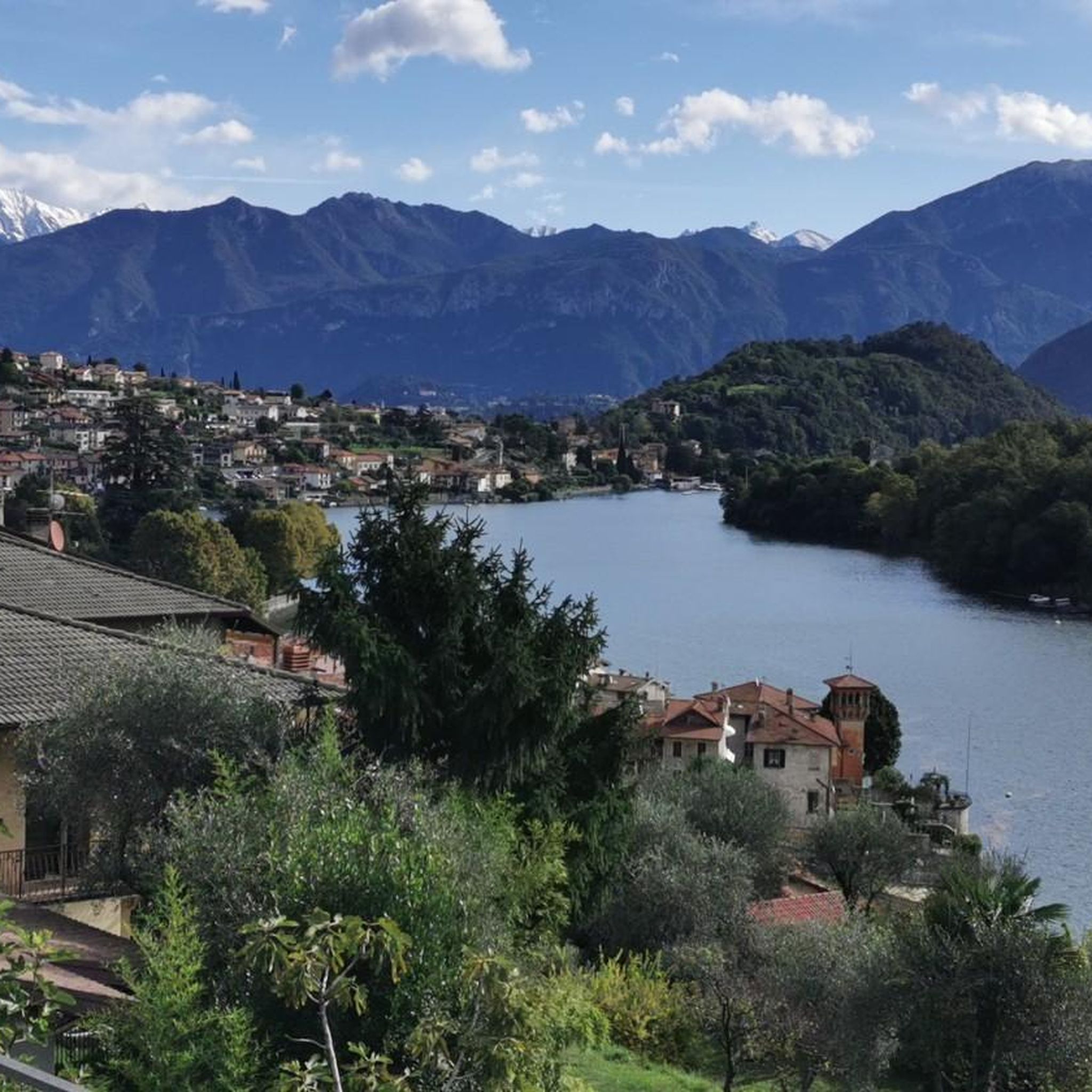
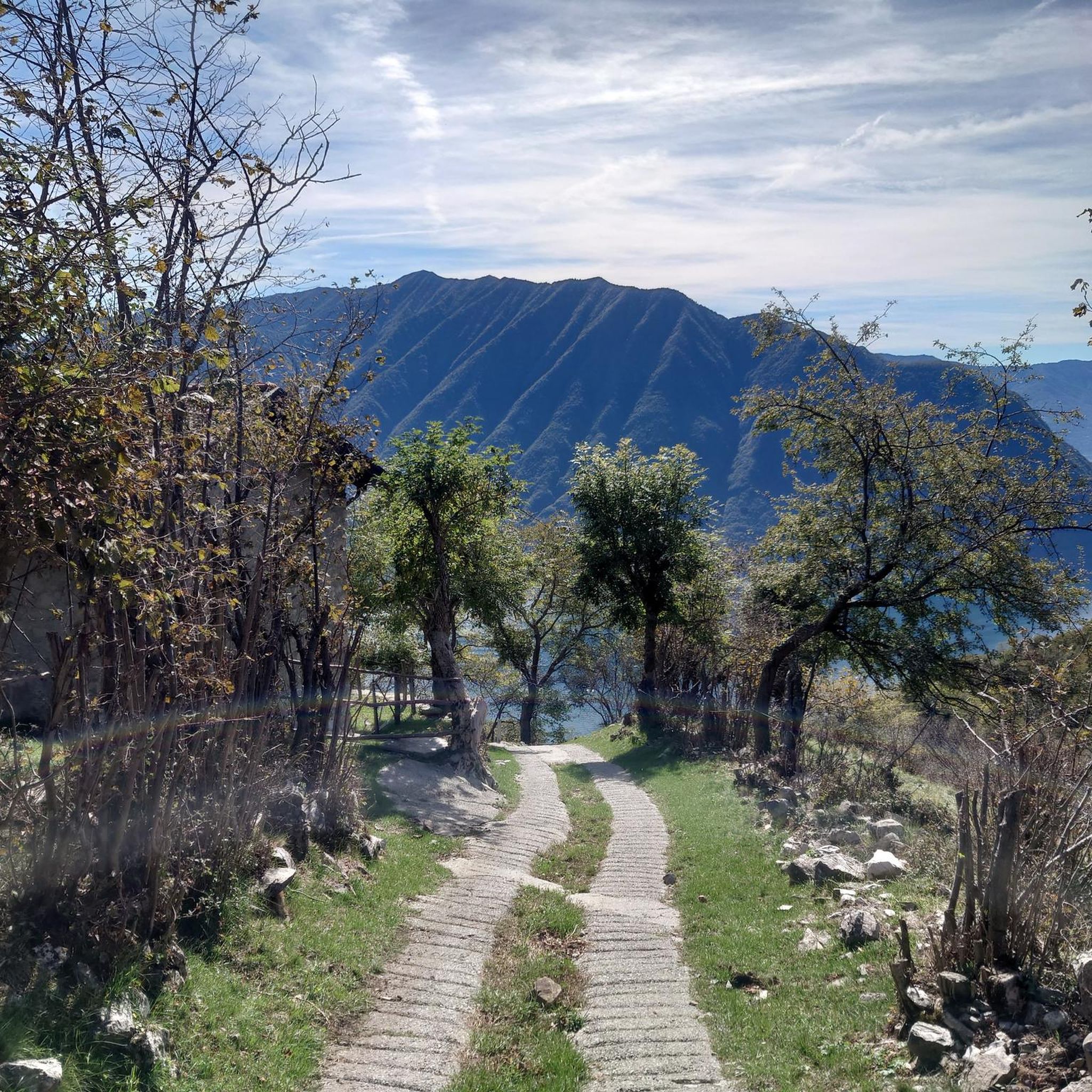
Mountaineering routes near Sala Comacina are set against the dramatic backdrop of Lake Como and the rising pre-Alpine mountains. The region features rugged mountainous terrain, including significant peaks like Monte San Primo, which offers substantial elevation gain. The landscape is characterized by a mix of tranquil lake views, lush vegetation, and challenging ascents, providing diverse opportunities for exploration. This area is ideal for those seeking varied mountaineering experiences, from strenuous paths to prominent summits.
Best mountaineering routes around Sala Comacina
…Last updated: August 14, 2026
5.0
(1)
4
hikers
6.07km
02:22
410m
410m
Moderate mountaineering route. Good fitness required. Mostly accessible paths. Sure-footedness required.
5.0
(2)
4
hikers
9.15km
03:40
570m
570m
Moderate mountaineering route. Good fitness required. Mostly accessible paths. Sure-footedness required.

Sign up for free
1
hikers
8.35km
05:05
900m
900m
Hard mountaineering route. Very good fitness required. Sure-footedness, sturdy shoes and alpine experience required.
Our route recommendations are based on thousands of hikes, rides, and runs completed by other people on komoot.
Start today with a free account
Your next adventure awaits.
Login or Signup

Tips from the Community

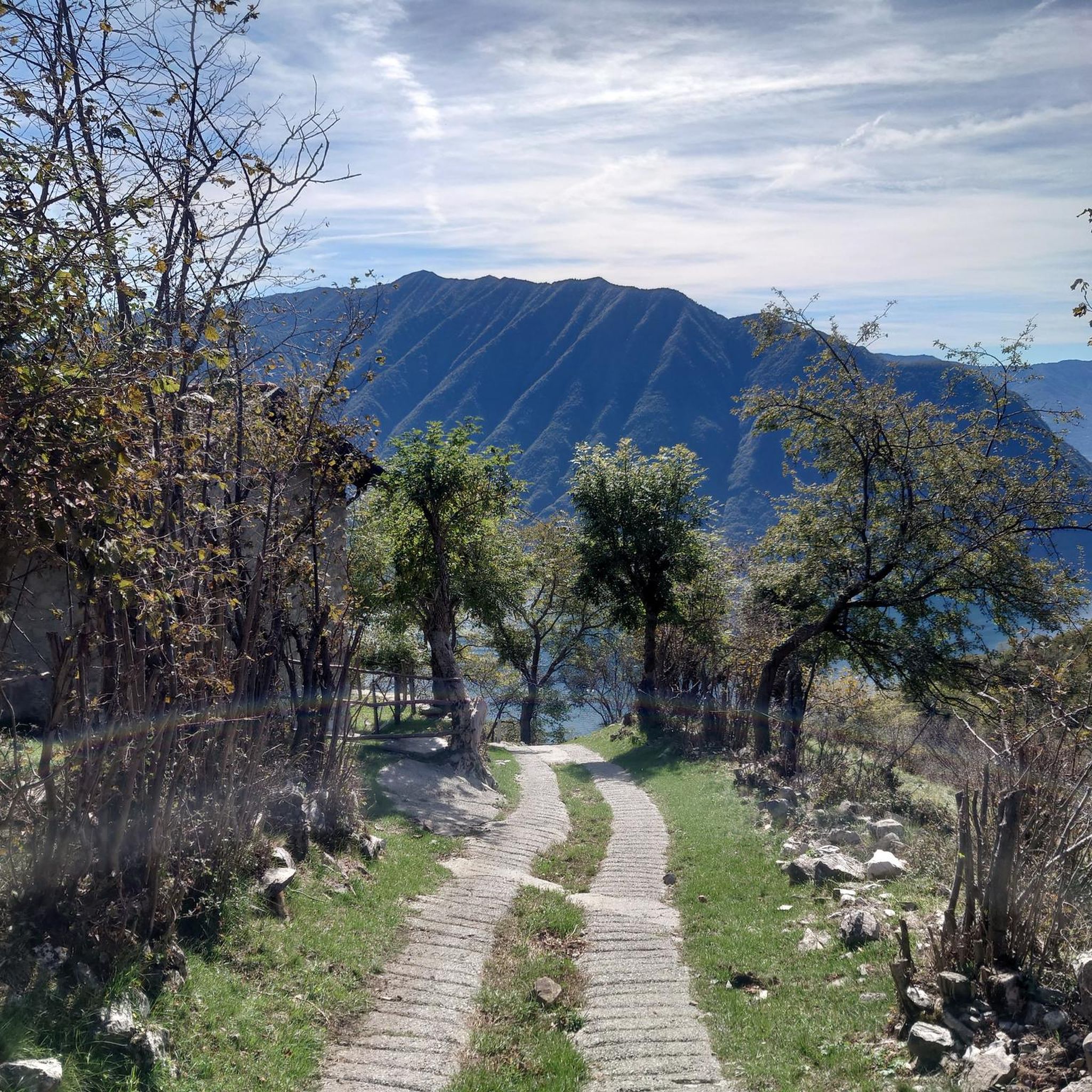
An unmanned hut that is a good destination and place to take a break
0
0


A small cabin with a fireplace and sleeping accommodations. Unfortunately, when we arrived, there was no water left at the well in front of the house, except for a few drops.
0
0

A small high alpine pasture with a hut offering accessible shelter from the elements. A small fountain in front of the hut provides a beautiful view over the Ceresio Pass and across to Osteno.
0
0

One of the three peaks (together with Sertore and Pasquella) that separates the valley that descends to the lake towards Colonno from the valley that descends towards Ponna and towards Val d'Intelvi. Reachable via an easy path from the Colonno alp (where there is a large parking lot and a refuge), and that in less than an hour leads to a magnificent view of Lake Como and Galbiga. A few meters down from the peak there is a practical table with two wooden benches.
1
0

From here the path becomes increasingly steep and narrow, slippery in wet weather in winter and autumn. Difficult climb to the top. Then also very difficult descent over narrow rocky paths, then wide but steep descent to the city
0
0

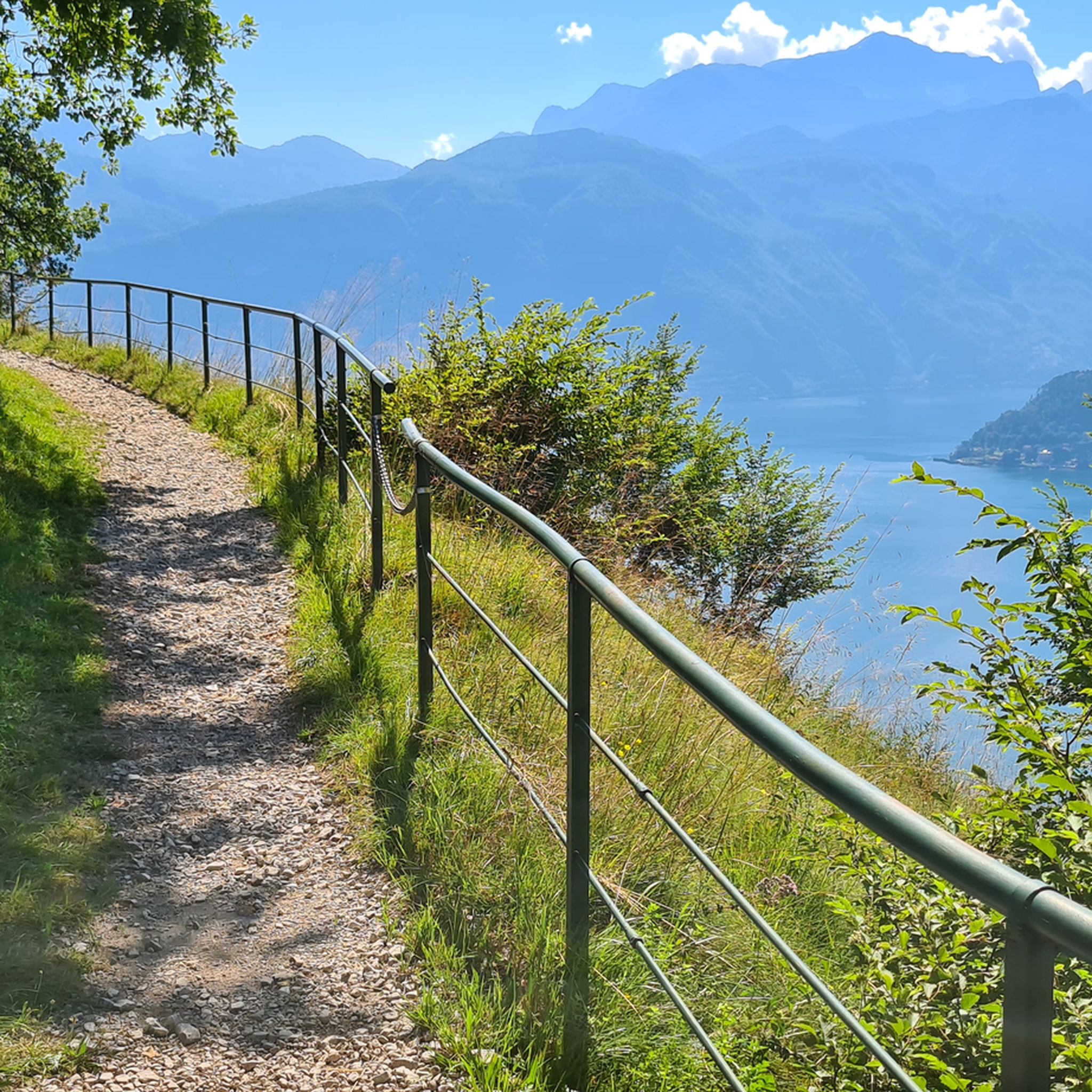
great ridge views
0
0

Strölech Bridge over the Rezzo torrent
0
0
Frequently Asked Questions
How many mountaineering routes are available around Sala Comacina?
There are 6 mountaineering routes around Sala Comacina, offering a range of experiences from moderate to difficult. These routes provide diverse opportunities to explore the pre-Alpine mountains and enjoy panoramic views of Lake Como.
What kind of terrain can I expect on mountaineering routes near Sala Comacina?
The terrain around Sala Comacina is rugged and mountainous, typical of the pre-Alps. You can expect significant elevation gains, rocky paths, and forested sections. Routes often lead to prominent summits like Monte San Primo, offering challenging ascents and rewarding views.
Are there any circular mountaineering routes in the Sala Comacina area?
Yes, several routes are circular. For a challenging experience, consider the Cima del Costone – Monte San Primo loop from Parco Monte San Primo, which covers 7.5 km with 578 meters of ascent. A moderate option is the Monte Costone – Monte Pasquella loop from Pigra, spanning 9.1 km with 566 meters of elevation gain.
What are the best times of year for mountaineering around Sala Comacina?
The best times for mountaineering around Sala Comacina are generally spring, summer, and early autumn. During these seasons, the weather is more stable, and trails are typically clear of snow, allowing for safer and more enjoyable ascents. Always check local weather conditions before heading out.
Are there any waterfalls or gorges to see along the mountaineering routes?
While not directly on every mountaineering route, the broader Lake Como area features impressive natural attractions. You can find highlights like the Tobi Waterfall and the dramatic Nesso Gorge, which are worth exploring in the vicinity.
What landmarks or points of interest can I find near the mountaineering trails?
Mountaineering routes often lead to stunning viewpoints and historical sites. You might encounter mountain huts like Venini Hut, which can serve as a rest stop. The Colma di Sormano Summit and Observatory also offers panoramic views and is a notable landmark in the region.
Are there any family-friendly mountaineering options or easier trails?
While many routes are challenging, there are moderate options that might be suitable for families with older children or those seeking less strenuous ascents. The Ponte di Strolech – Historic center of Porlezza loop from Porlezza is a moderate 6 km route with 408 meters of ascent, offering a good balance of challenge and accessibility.
What do other mountaineers enjoy most about the routes in Sala Comacina?
The routes around Sala Comacina are highly rated by the komoot community, with an average score of 4.8 stars. Reviewers often praise the breathtaking panoramic views of Lake Como, the challenging yet rewarding ascents to pre-Alpine peaks like Monte San Primo, and the diverse natural beauty of the region.
Is there public transport access to the starting points of these routes?
Sala Comacina itself is accessible by public transport, including buses and ferries on Lake Como. However, many mountaineering route starting points, especially those higher in the mountains, may require a short drive or a local bus connection from the main villages. It's advisable to check local bus schedules for specific trailheads.
Where can I park when heading out on a mountaineering route?
Parking availability varies by trailhead. For routes starting from villages like Pigra or near Parco Monte San Primo, you can often find designated parking areas. It's recommended to arrive early, especially during peak season, as spaces can be limited. Always ensure you park legally and respectfully.
Are dogs allowed on the mountaineering trails around Sala Comacina?
Generally, dogs are welcome on most trails in the Sala Comacina area, provided they are kept under control, especially around livestock or wildlife. Always carry water for your dog and be mindful of other hikers. Some protected areas or specific trails might have restrictions, so it's good to check local signage.
What is the most challenging mountaineering route in the area?
For a significant challenge, the Rifugio Venini – Hike to Rifugio Venini loop from Alpe di Colonno is a difficult 19 km route with over 900 meters of elevation gain. This extensive path offers a demanding ascent through the pre-Alpine landscape, rewarding mountaineers with expansive views.
Most popular routes around Sala Comacina
Most popular attractions around Sala Comacina

Get inspired with the komoot mobile app


Explore more
Browse the best Mountain Hikes & Routes in other regions.
