The best walks and hikes around Salm
4.5
(10362)
34,775
hikers
16
hikes
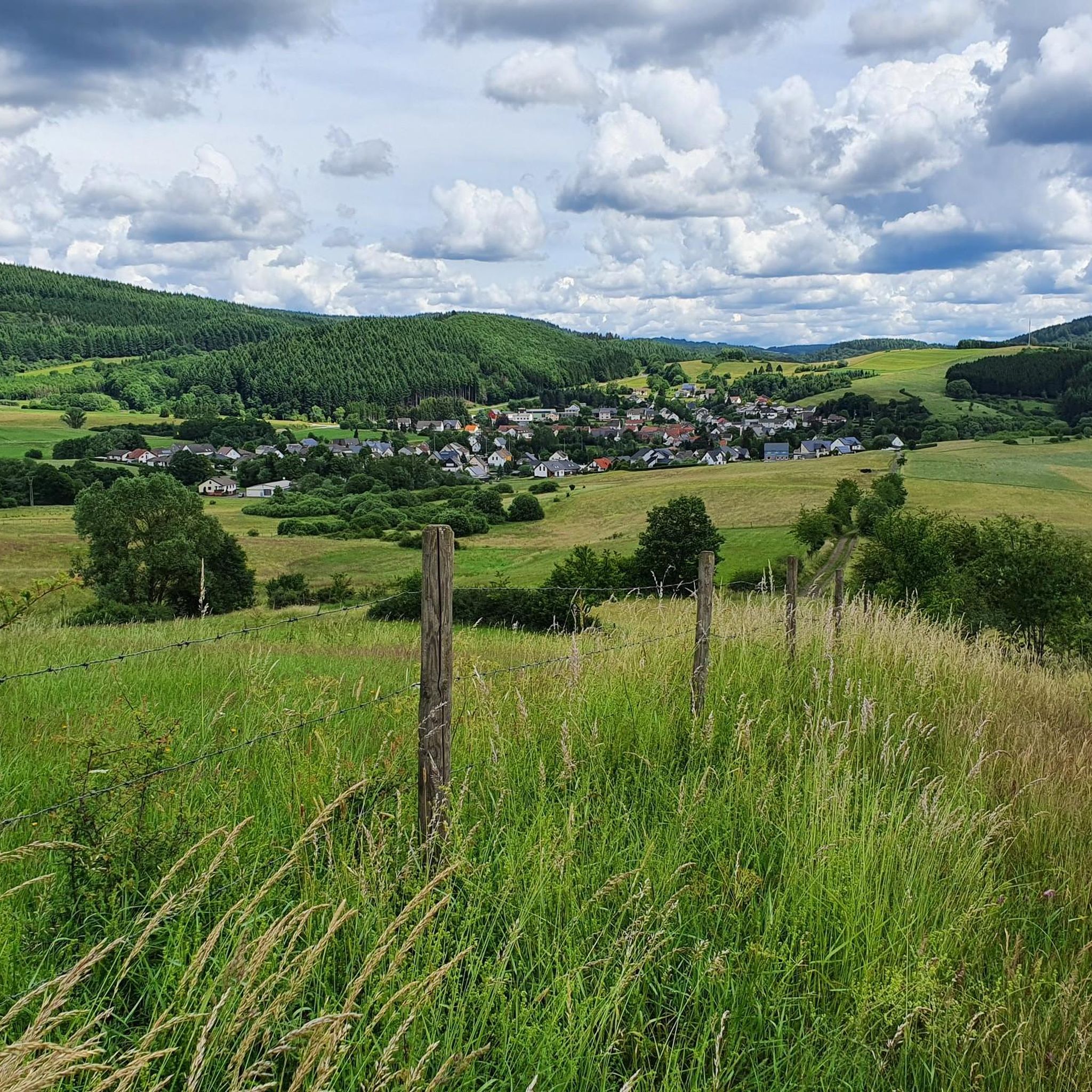
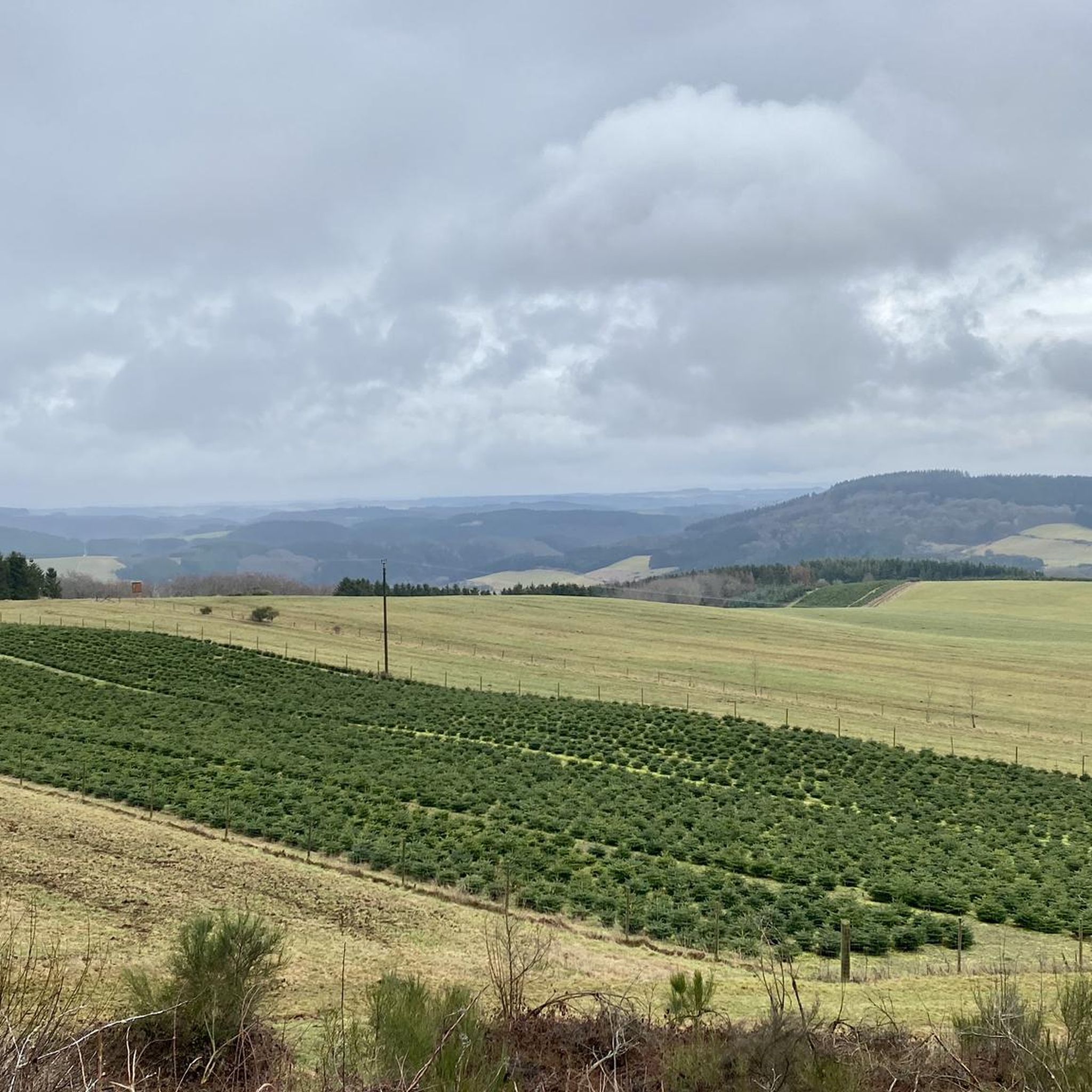
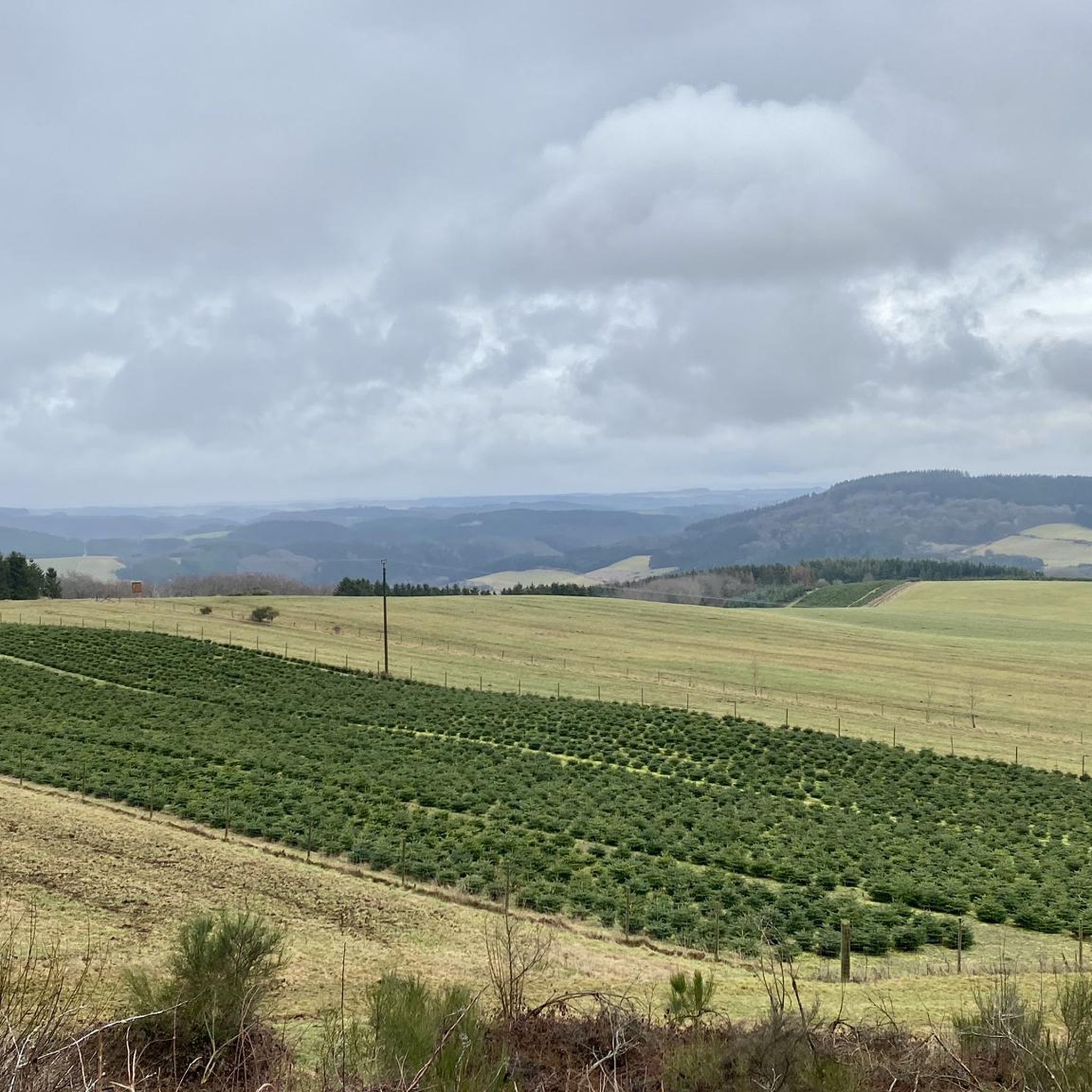
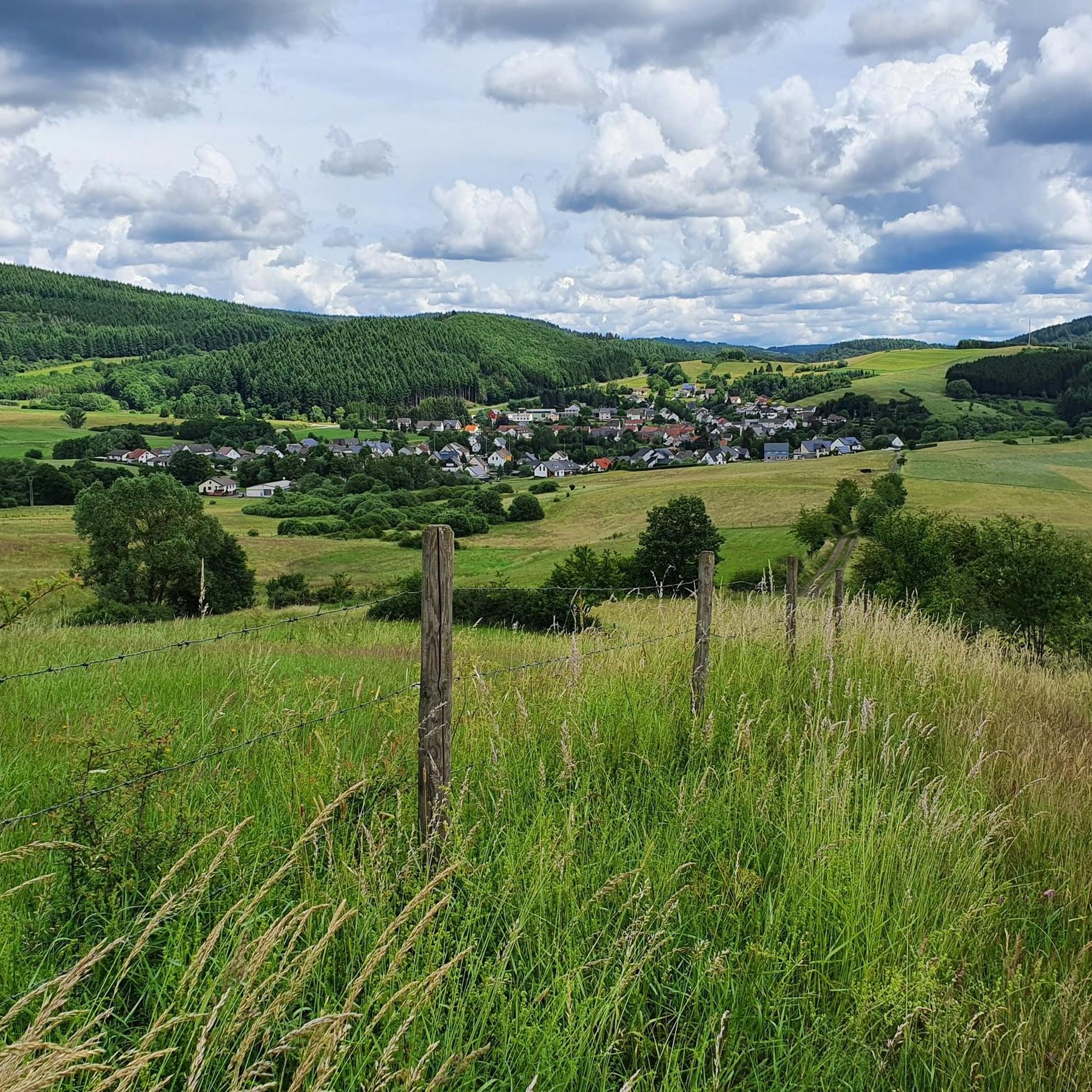
Hiking around Salm, located in Germany's Vulkaneifel district, offers diverse landscapes characterized by rolling hills and dense forests. The region is known for its volcanic origins, contributing to distinct geological formations. Trails often lead through picturesque settings, providing varied terrain for outdoor activities.
Best hiking trails around Salm
- The most popular hiking route is Wallender Born Geyser – Wallenborn Cold Water Geyser loop from Salm, a 6.7 miles (10.9 km) trail that takes 3 hours 5 minutes to complete.…
Last updated: August 21, 2026
5.0
(3)
16
hikers
10.8km
03:05
250m
250m
Moderate hike. Good fitness required. Easily-accessible paths. Suitable for all skill levels.
5.0
(22)
11
hikers
6.61km
01:49
110m
110m
Easy hike. Great for any fitness level. Easily-accessible paths. Suitable for all skill levels.

Sign up for free
5.0
(2)
7
hikers
8.97km
02:29
150m
160m
Moderate hike. Good fitness required. Easily-accessible paths. Suitable for all skill levels.
5.0
(2)
5
hikers
8.07km
02:14
140m
150m
Moderate hike. Good fitness required. Easily-accessible paths. Suitable for all skill levels.
2.0
(1)
4
hikers
5.60km
01:31
80m
80m
Easy hike. Great for any fitness level. Easily-accessible paths. Suitable for all skill levels.
Get access to more routes and recommendations from other explorers.
Sign up for free
Already have an account?
Our route recommendations are based on thousands of hikes, rides, and runs completed by other people on komoot.
Start today with a free account
Your next adventure awaits.
Login or Signup

Tips from the Community


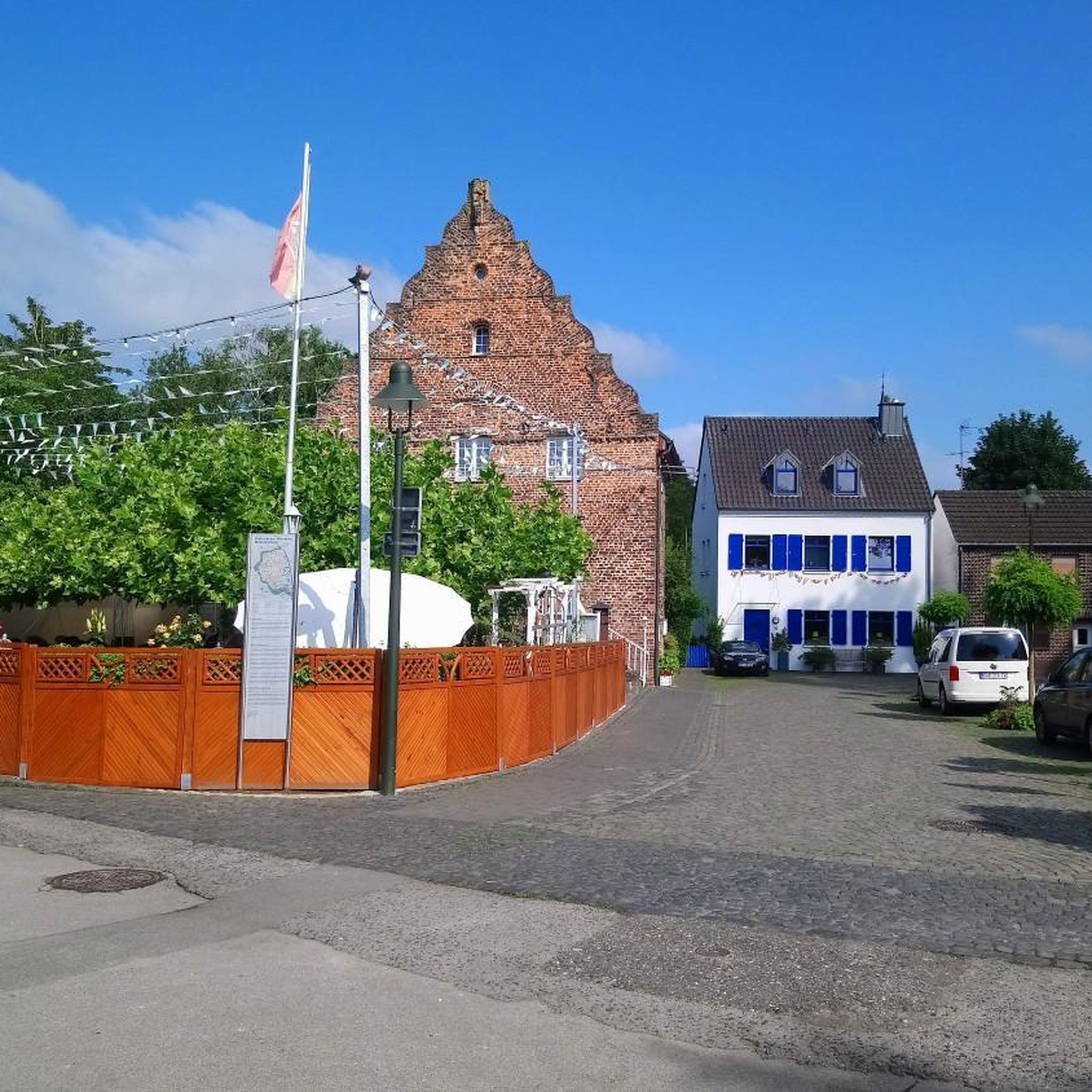
„O patron saint Sebastian, take care of our worries, bring comfort and light into our suffering, lead us someday to salvation.“ (Refrain of the Roisdorfer Sebastianus-Lied)
1
0

On the Desserath-Weidenbach-Desserath round trip we also passed this stream
0
0

Whether the small Brubbel or the large cold water geyser in Andernach. I find it uniquely beautiful when the water shoots up for a moment.
3
0

Every 35 minutes the eruption starts with a beautiful column of water up to 4 meters high. After that the water continues to "bubble" for about 5 minutes. Then the source goes back to rest for 30 minutes and then it starts all over again. Der Wallenborn, the cold water geyser, is very nice to take with you when visiting the area.
21
1

This wayside cross from 1620 stands opposite the cold water geyser and the holy house.
0
0
The church is a gem in the small town. The old churchyard with old tombstones is also interesting.
2
0

<< Wallenborn branch church, St. Sebastianus >> "...The Wallenborn branch was never an independent parish. Very sparse records begin in 1354, followed by another mention in 1687. In 1715 Wallenborn was set up as a chaplaincy, which was staffed by a chaplain or vicar until 1805. In 1802 it was incorporated into the parish of Salm. After building a new church in 1814, the people of Wallenborn wanted to break away from Salm and become an independent parish. Despite constant requests to the bishop about this, this request remained unsuccessful. In 1951/52 an expansion was carried out and the church was restored to its current condition. At that time, the civil community contributed the considerable amount of 100,000 DM from the auction of a felling of wood. At the beginning of the 1960s it became necessary to build a new tower and on July 3, 1966, 3 new bells were consecrated in honor of Saint Peter, Our Lady and Saint Sebastian. Finally, the interior of the church was renovated in 1991 and the exterior was renovated in 2008. ..." +++ CONTINUED: - The church interior: - Processions and pilgrimages: - Church clubs: http://www.kirche-daun.de/8_pfarr/salm.htm
2
0
Frequently Asked Questions
How many hiking trails are available around Salm?
There are over 10 hiking trails available around Salm, offering a variety of experiences through the Vulkaneifel's diverse landscapes. These routes are highly rated by the komoot community, with an average score of 4.5 stars from over 9,000 reviews.
Are there easy hiking options for beginners or casual walkers in Salm?
Yes, Salm offers several easy hiking options. Out of the 13 available routes, 8 are classified as easy. An example is the Hiking loop from Salm, which is an easy 4.1 miles (6.6 km) path offering views of the rolling hills and forested areas.
What kind of natural attractions can I expect to see while hiking in Salm?
The Vulkaneifel region around Salm is known for its unique volcanic origins. A prominent natural attraction is the Wallenborn cold water geyser, which erupts approximately every 35 minutes. You can experience this on the Wallender Born Geyser – Wallenborn Cold Water Geyser loop from Salm.
Are there any family-friendly hiking trails in Salm?
Yes, the region offers routes suitable for families. The "WaldAbenteuer" (Forest Adventure) nature trail provides an interactive way for younger adventurers to learn about the local flora, fauna, and forest environment. Many of the easy routes, such as the Salm – Maria Hilf Chapel loop from Salm, are also great for families.
What are the best times of year to go hiking in Salm?
Spring and autumn are considered the best seasons for hiking in the Salm region. During these times, the weather is generally pleasant, and the natural scenery, with its rolling hills and dense forests, is particularly beautiful.
Are there any circular hiking routes around Salm?
Yes, many of the trails around Salm are designed as loops, allowing you to start and end at the same point. Examples include the Hiking loop from Salm and the Maria Hilf Chapel loop from Salm.
What historical sites or landmarks can be explored near Salm's hiking trails?
While hiking in the Salm area, you can explore significant historical sites. Bürresheim Castle, a well-preserved medieval building, is nearby. Eltz Castle, often considered one of Germany's most beautiful castles, is also a must-see attraction in the broader Vulkaneifel area.
Are there any caves to explore near Salm?
Yes, the Vulkaneifel region around Salm features several interesting caves. Notable ones include Buchenloch Cave, Millstone Cave at Nerother Kopf, and the Birresborn Ice Caves.
What is the typical duration for hikes around Salm?
Hikes around Salm vary in duration depending on the route and your pace. For example, the Wallender Born Geyser loop typically takes around 3 hours 5 minutes, while the Friendly Forest Gnome Carving loop is also about 3 hours.
What do other hikers enjoy most about hiking in Salm?
The area is highly rated by the komoot community, with an average score of 4.5 stars. Reviewers often praise the diverse landscapes, including rolling hills and dense forests, and the unique geological features like the Wallenborn geyser. The variety of routes, from easy to moderate, also contributes to its popularity.
Are there any specific trails that offer unique experiences or sights?
For a unique experience, consider the Friendly Forest Gnome Carving loop from Salm. This moderate 6.8-mile (11 km) trail offers a distinctive theme alongside the natural beauty of the Vulkaneifel.
Most popular attractions around Salm

Get inspired with the komoot mobile app


Explore more
Browse the best Hikes in other regions.
