The best road cycling routes around Parabiago
3.8
(33)
1,669
riders
52
rides
Road cycling around Parabiago benefits from its location in the Po Valley, offering predominantly flat terrain ideal for longer distances. The region is characterized by the historic Villoresi Canal, which features a designated cycleway, and the expansive Roccolo Park with its green spaces and cultivated fields. This blend of water features and open landscapes provides varied scenery for road cyclists.
Best road cycling routes around Parabiago
- The most popular road cycling route is Lake Varese – Lake Varese loop from…
Last updated: October 15, 2026
3.5
(4)
349
riders
100km
04:20
700m
700m
Moderate road ride. Good fitness required. Mostly well-paved surfaces and easy to ride.
5.0
(3)
142
riders
93.6km
03:44
430m
430m
Moderate road ride. Good fitness required. Mostly well-paved surfaces and easy to ride.

3.4
(5)
118
riders
80.9km
03:19
140m
140m
Moderate road ride. Good fitness required. Some segments of this route may be unpaved and difficult to ride.
5.0
(3)
110
riders
107km
04:36
730m
730m
Moderate road ride. Good fitness required. Some segments of this route may be unpaved and difficult to ride.
5.0
(3)
88
riders
96.6km
04:50
1,150m
1,150m
Hard road ride. Very good fitness required. Mostly well-paved surfaces and easy to ride.
Get access to more routes and recommendations from other explorers.
Already have an account?
Our route recommendations are based on thousands of hikes, rides, and runs completed by other people on komoot.
Start today with a free account
Your next adventure awaits.

Tips from the Community

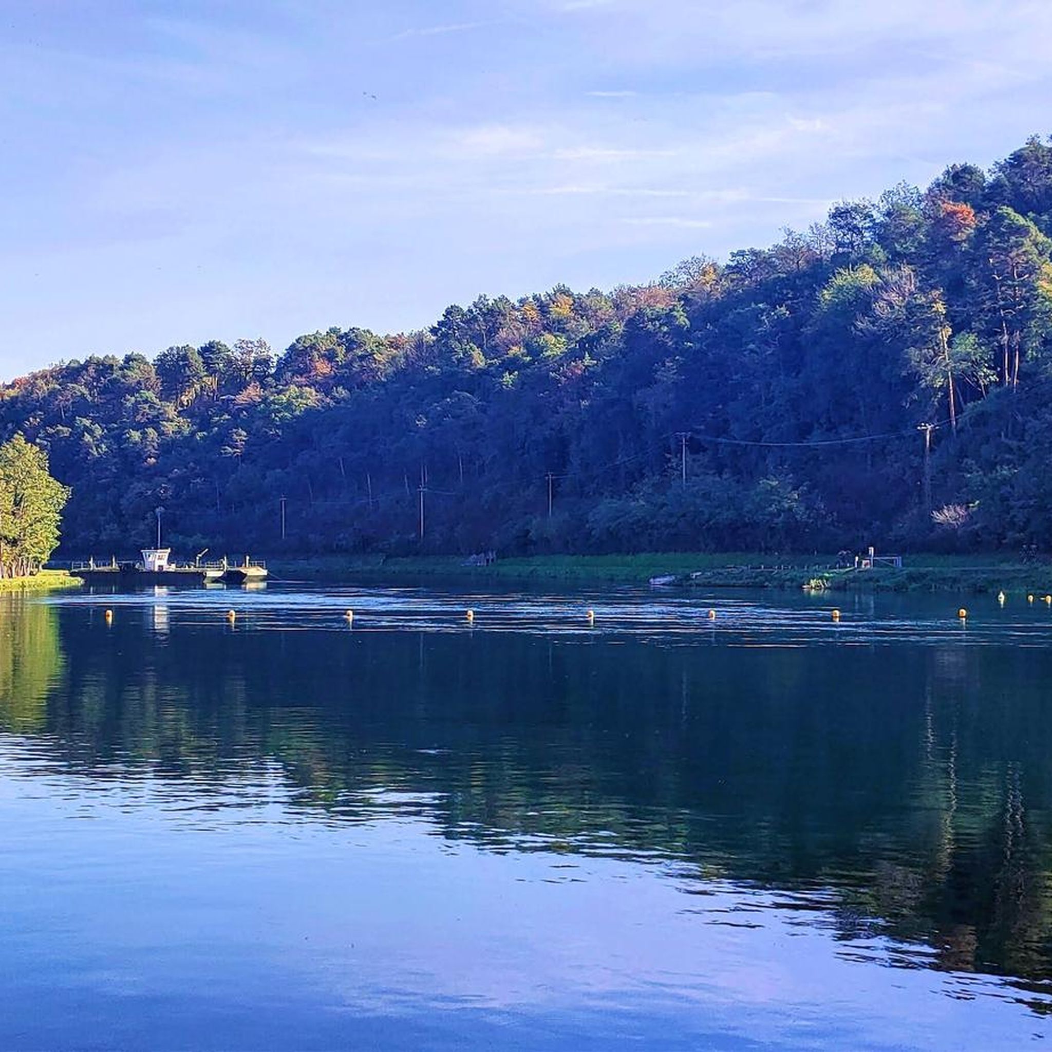
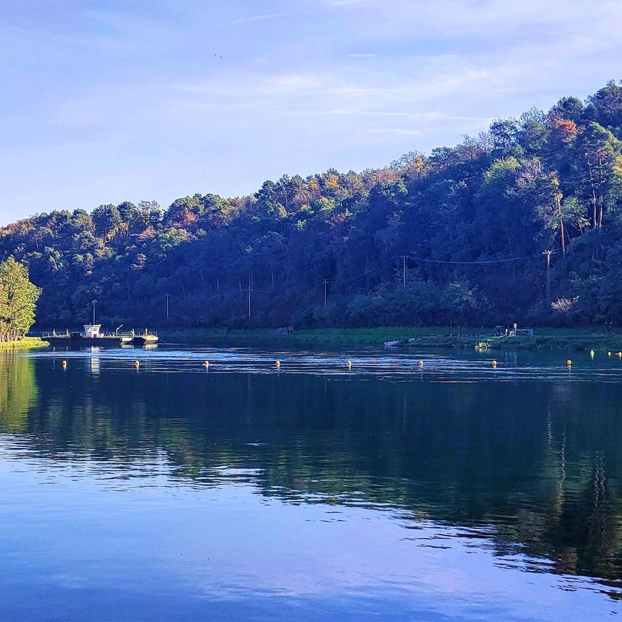
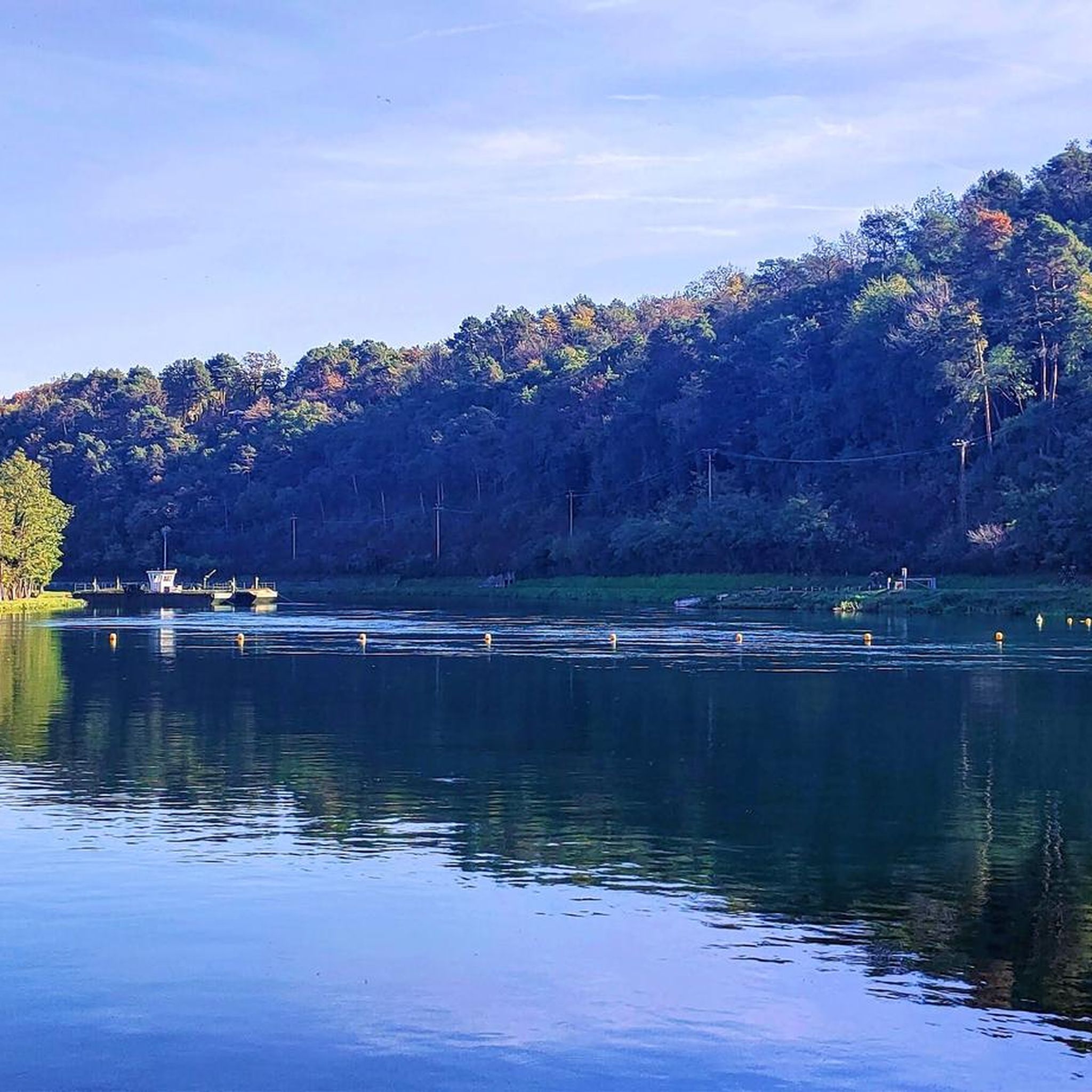
The Sesto Calende riverside walk winds along the banks of the Ticino river at the exact point where the waters of Lake Maggiore leave the basin to continue their course.
0
0

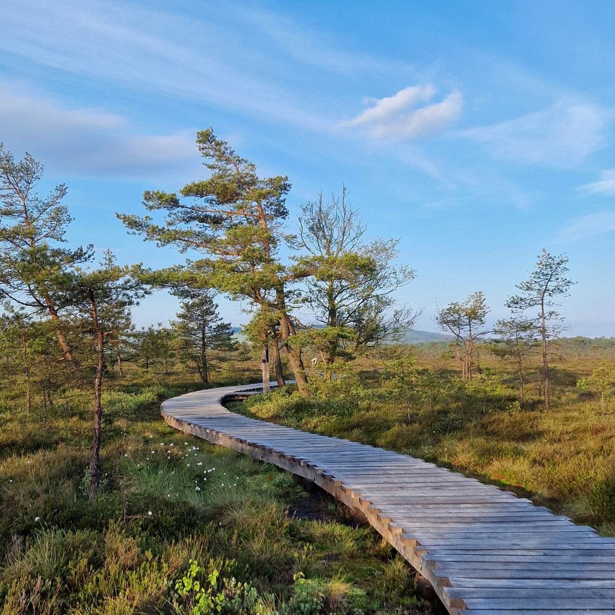
because it's very green and in the woods, not recommended after rain
1
0
In Robecco sul Naviglio, the most famous and strategic public fountain for cyclists and runners is located directly along the Alzaia of the Naviglio Grande, near the historic Osteria da Ripa and a few meters from the characteristic pedestrian bridge of the town. It is a fundamental resting point for those traveling the cycle path, especially on hot days, as water supply points are scarce in that stretch of canal.
0
0
The Castle of Somma Lombardo, officially known as Castello Visconti di San Vito, is a magnificent 13th-century fortress located in the province of Varese, a short distance from Milan Malpensa Airport.
0
0
The Valle Olona offers a cycle and pedestrian path of about 50 km that develops mainly on flat ground along the river. However, for those who love a challenge, the surrounding hills offer climbs and descents with challenging gradients of up to 10%.
0
0
The Bridge of Cassinetta di Lugagnano is one of the most characteristic and historically significant monuments located along the Naviglio Grande, in the metropolitan city of Milan. Originally built of granite, the structure dates back to the 17th century, erected during the Spanish rule of the Duchy of Milan to connect the two historic centers divided by the canal. The bridge historically unites Lugagnano (on the right bank, of Roman origin) and Cassinetta (on the left bank, of medieval design). The bridge was completely rebuilt in a donkey-back shape in May 1862. This intervention became necessary both to repair the damage from the wars of independence (such as the nearby Battle of Magenta in 1859) and to facilitate the transit of commercial barges on the Naviglio.
0
0
Trezzano sul Naviglio is an Italian municipality of about 21,000 inhabitants located in the metropolitan city of Milan, in Lombardy. Its territory develops along the banks of the Naviglio Grande and is strategically positioned southwest of the Milanese capital, making it an important hub for both residential and industrial purposes.
0
0
Cassinetta di Lugagnano - The most beautiful villages in Italy, nestled in the Ticino Park Cassinetta di Lugagnano - Germoglio del Ticino along the banks of the Naviglio Grande The pleasure houses of the Naviglio Grande - in-Lombardia. Recognized for its bucolic environment and its centuries-old history, it is famous for its architectures and its relaxing waterways Cassinetta di Lugagnano in-Lombardia.
0
0
Frequently Asked Questions
How many road cycling routes are available around Parabiago?
There are over 50 road cycling routes around Parabiago, offering a wide variety of options for different preferences and skill levels. You'll find routes ranging from easy to difficult, ensuring there's something for everyone.
What is the typical terrain and elevation profile for road cycling in Parabiago?
Parabiago is situated in the Po Valley, which means the terrain is predominantly flat. This makes it ideal for road cyclists looking for longer distances and consistent pacing. While most routes feature minimal elevation, some longer tours, such as the Panoramic view of Como from Brunate – Volta Lighthouse, Brunate loop from Parabiago, can include significant climbs, offering a challenge for more experienced riders.
Are there road cycling routes suitable for beginners or families in Parabiago?
Yes, Parabiago offers many routes suitable for beginners and families. The region's generally flat terrain, especially along the Towpath of the Villoresi Canal, provides easy-going, predominantly paved surfaces. There are 26 easy routes available, perfect for those new to road cycling or looking for a relaxed ride.
What kind of scenery can I expect on road cycling routes near Parabiago?
Road cycling around Parabiago offers diverse scenery. You can expect to ride alongside the historic Villoresi Canal, through the expansive green spaces of Roccolo Park, and past vast cultivated fields characteristic of the Po Valley. Some routes also extend to scenic lakes like Lake Varese, providing beautiful water views.
What are some notable landmarks or attractions I can see along the road cycling routes?
Many routes offer opportunities to see interesting landmarks and natural features. You can cycle along the historic Towpath of the Villoresi Canal or the Olona Valley Cycle Path. For historical interest, some routes pass near the Visconti Castle in Legnano. You might also encounter various lakes and ponds, such as Rosa Camuna Pond or Herons Park Pond.
Are there any challenging or advanced road cycling routes in the Parabiago area?
Yes, for experienced road cyclists seeking a challenge, there are 3 difficult routes available. These routes often feature longer distances and more significant elevation gains, such as the Panoramic view of Como from Brunate – Volta Lighthouse, Brunate loop from Parabiago, which includes over 1,100 meters of ascent.
What do other road cyclists enjoy most about road cycling in Parabiago?
The road cycling routes around Parabiago are highly rated by the komoot community, with an average score of 3.8 stars from over 30 reviews. Cyclists often praise the varied terrain, from flat canal paths to routes with more challenging climbs, and the scenic views of the Po Valley and its cultivated fields.
Are there any loop road cycling routes available from Parabiago?
Yes, many of the road cycling routes around Parabiago are designed as loops, allowing you to start and end your ride in the same location. Examples include the popular Lake Varese – Lake Varese loop from Parabiago and the Gaggiano Bridge loop from Parabiago.
What is the best time of year to go road cycling in Parabiago?
The best time for road cycling in Parabiago is generally during the spring and autumn months when the weather is mild and pleasant. Summer can be warm, but early mornings or late afternoons can still offer enjoyable rides. Winters are typically cooler and may have more unpredictable weather.
Is it possible to access road cycling routes in Parabiago using public transport?
Parabiago is well-connected by public transport, including train services. While specific rules for bikes on public transport can vary, it's often possible to bring bicycles on regional trains, allowing you to reach the starting points of many routes without a car. Always check with the local transport provider for current regulations.
Are there places to park near the road cycling routes in Parabiago?
Yes, as a town with a strong cycling culture, Parabiago offers various parking options. You can typically find public parking in and around the town center, which serves as a convenient starting point for many routes, especially those connecting to the Villoresi Canal or Roccolo Park.
Can I find cafes or pubs along the road cycling routes in Parabiago?
The Parabiago area, being a popular spot for outdoor activities, has numerous cafes and pubs. Many routes pass through or near small towns and villages where you can stop for refreshments, a coffee, or a meal. The Ecomuseum of the Parabiago Landscape also highlights local heritage, often found near places to relax.
Most popular attractions around Parabiago

Get inspired with the komoot mobile app


Explore more
Browse the best Road cycling routes in other regions.
