The best walks and hikes around Bosco Chiesanuova
4.5
(2792)
14,211
hikers
193
hikes
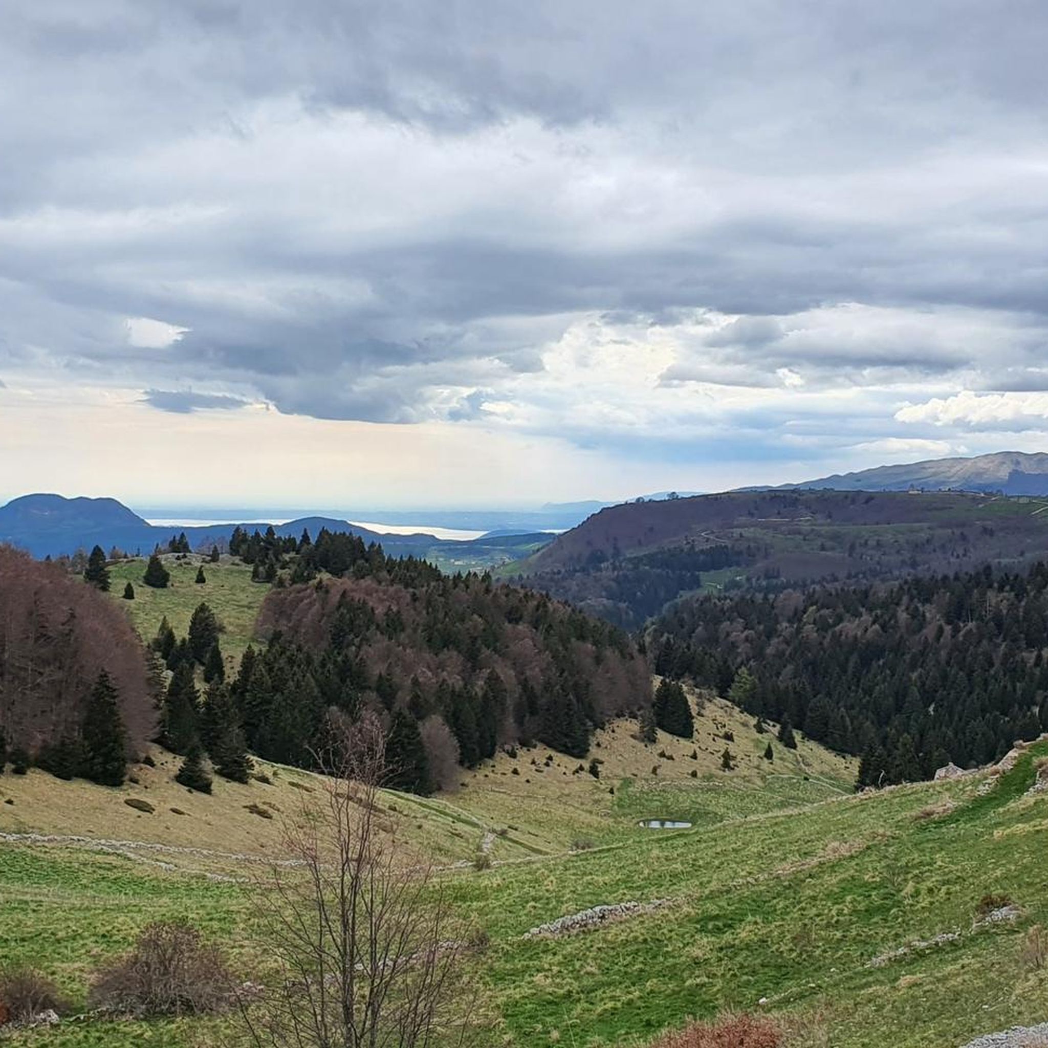
Hiking around Bosco Chiesanuova offers diverse landscapes within the Lessinia Regional Natural Park, characterized by high green pastures, dense forests, and deep valleys. The region features unique geological formations and significant fossil deposits, reflecting its ancient marine history. Hikers can explore extensive woodlands, including the Folignani Forest, which maintains a high degree of naturalness with large specimens of beech and fir. The impressive Monte Carega mountain range provides a scenic backdrop for many trails.
Best hiking trails around Bosco Chiesanuova
…Last updated: October 10, 2026
4.6
(215)
783
hikers
10.5km
03:19
330m
330m
Embark on a moderate hike through the Lessinia Regional Natural Park, a 6.6-mile (10.5 km) loop that takes about 3 hours and 19 minutes to complete. You'll gain 1099 feet…
4.6
(115)
546
hikers
Embark on a difficult hike through the Regional Natural Park of Lessinia with the Cima Trappola and Malga Malera loop. This challenging route spans 4.7 miles (7.6 km) and involves…

4.6
(162)
666
hikers
9.04km
02:57
320m
320m
Embark on the Malghe Folignano Trail (No. 5), a moderate hike that guides you through the varied landscapes of Lessinia Regional Nature Park. You will traverse open pastures and small…
3.7
(27)
88
hikers
8.65km
02:42
340m
350m
Embark on the Monte Tomba Loop, a moderate hike that guides you through the diverse alpine landscapes of Lessinia Regional Natural Park. You will traverse grassy paths and wooded areas,…
4.1
(32)
114
hikers
11.3km
03:53
460m
470m
Hike the challenging 7.0-mile circular route to Malga Mostarda and Laorno hamlet in Lessinia Regional Natural Park, gaining 1505 feet.
Get access to more routes and recommendations from other explorers.
Already have an account?
Our route recommendations are based on thousands of hikes, rides, and runs completed by other people on komoot.
Start today with a free account
Your next adventure awaits.
Popular around Bosco Chiesanuova
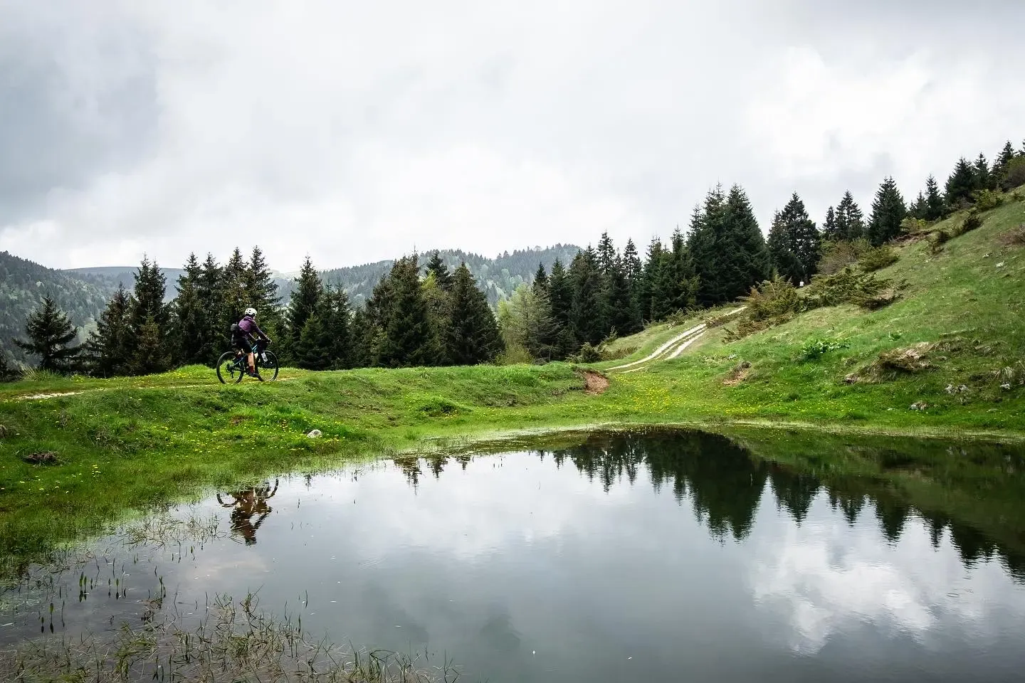
In the mountains a stone's throw from Verona - Lessinia by mountain bike

Via delle Prealpi – On the way with the MTB in the Venetian Prealps
MTB Trails around Bosco Chiesanuova

Gravel biking around Bosco Chiesanuova
Cycling around Bosco Chiesanuova
Road Cycling Routes around Bosco Chiesanuova
Running Trails around Bosco Chiesanuova

Mountain Hikes around Bosco Chiesanuova


Tips from the Community

The summit of Monte Tomba, with two small huts where you can eat. Always very windy.
0
0

Malga reachable directly from the road, has parking. The food is good, recommended
0
0

Lessinia, or Monti Lessini, is a plateau and an Alpine supergroup located mainly in the province of Verona and partially in the provinces of Vicenza and Trento. A part of the Lessini territory constitutes the Lessinia Regional Natural Park. It borders to the north with the Val di Ronchi and the Carega Group, to the east with the Val Leogra, to the south with the Adige and the upper Veronese plain and to the west with the Val Lagarina. Its peaks reach an altitude between 1500 and 1800 m above sea level. https://it.wikipedia.org/wiki/Lessinia
0
0
The refuge is located in the Lessinia Regional Natural Park and is well suited as an intermediate stop and refreshment point for the many excursions that can be done in the surrounding area. In summer it can be reached by car, motorbike or on foot, while in winter with cross-country skis and snowshoes thanks to the groomed trails.
0
0

Highly recommended as a lunch stop! We stopped here on December 26th, you have to book otherwise you will eat outside! (Which all in all if it's sunny it's also nice) The dishes are out of this world: about €10 for the first courses (we had the homemade gnocchi). €12/15 for the second course (very good spicy goulash). In the end with €20 between food and drinks you can get by. Excellent value for money!
0
0

Beautiful place, spectacular view
0
0

Best of all is to do the Eel vajo on the way out and the forest forests at high altitude on the way back.
1
1

The Folignani Forest, together with the Giazza Forest, is one of the largest and most characteristic forests in Lessinia and is included between the municipalities of Bosco Chiesanuova and Erbezzo. https://www.visitverona.it/it It covers the slopes of the Vajo dell'Anguilla and is the area that has preserved the greatest degree of naturalness. It is mainly characterized by large specimens of Beech, White Fir and Black Hornbeam and many animal and plant species can also be found there.
1
0
Frequently Asked Questions
How many hiking trails are available around Bosco Chiesanuova?
There are over 190 hiking routes around Bosco Chiesanuova, catering to various skill levels. This includes approximately 30 easy routes, over 130 moderate trails, and around 35 challenging options for experienced hikers.
Are there any easy or family-friendly hikes in Bosco Chiesanuova?
Yes, Bosco Chiesanuova offers around 30 easy hiking routes suitable for families. These trails often traverse high green pastures and forests, providing gentle slopes and scenic views within the Lessinia Regional Natural Park. Look for routes with shorter distances and minimal elevation gain for the most family-friendly experience.
What kind of natural attractions can I see while hiking in Bosco Chiesanuova?
The region is rich in natural features. You can explore unique geological formations like sinkholes, caves, and natural bridges. The Folignani Forest offers dense woodlands with ancient beech and fir trees. Additionally, you can discover several beautiful waterfalls, such as the Molina Waterfalls, the Papalini Waterfall, or the Bear Waterfall.
Are there any circular hiking routes in Bosco Chiesanuova?
Many of the trails around Bosco Chiesanuova are designed as loops, offering varied scenery without retracing your steps. A popular moderate option is the Rifugio Podesteria - loop tour in the Lessinia Regional Natural Park, which covers 10.5 km. For a more challenging circular route, consider the Cima Trappola and Malga Malera loop.
What do other hikers say about the trails in Bosco Chiesanuova?
The hiking trails in Bosco Chiesanuova are highly regarded by the komoot community, holding an average rating of 4.5 stars from over 2300 reviews. Hikers often praise the diverse landscapes, from high green pastures to dense forests, and the well-maintained paths within the Lessinia Regional Natural Park.
Are there any challenging hikes for experienced trekkers?
Yes, Bosco Chiesanuova offers approximately 35 challenging routes. These often involve significant elevation changes and longer distances. An example is the Lower Malgas of Erbezzo Loop, a difficult 11.2 km trail with substantial ascents and descents, providing a rewarding experience for seasoned hikers.
Can I find historical sites or cultural landmarks along the trails?
Yes, the region has a rich history. The Monte Tomba Loop, for instance, provides access to historical WWI sites. The area is also steeped in Cimbrian culture, with opportunities to explore ancient stone huts and hamlets that reflect the heritage of this ancient Tyrolean Bavarian people.
What are some unique geological features to look out for?
Bosco Chiesanuova is known for its unique karst topography. Hikers can encounter impressive geological formations such as the Covolo of Camposilvano and the Valle delle Sfingi, as well as the natural bridge in Veja. The area's history as a warm sea is also evident in significant fossil deposits found throughout the region.
Are there mountain huts or refuges available for rest stops?
Yes, the Lessinia Regional Natural Park features several mountain huts (rifugi) that serve as convenient rest stops or starting points for treks. Rifugio Podesteria is one such example, often incorporated into popular loop trails in the area.
What is the best time of year to go hiking in Bosco Chiesanuova?
The diverse landscapes of Bosco Chiesanuova offer hiking opportunities throughout much of the year. Spring and autumn provide pleasant temperatures and vibrant scenery. During winter, some higher altitude trails, especially those leading to points like the Cima Carega Summit Cross, require proper equipment like crampons due to snow and ice, and are best suited for experienced hikers.
Are there any trails that pass through extensive forests?
Absolutely. The Folignani Forest, one of Lessinia's most extensive woodlands, is a highlight for many trails. It features large specimens of beech, white fir, and black hornbeam, offering a high degree of naturalness and a serene hiking experience. The Malghe Folignano Trail (No. 5) is a good option to explore this forested area.
Most popular routes around Bosco Chiesanuova
Most popular attractions around Bosco Chiesanuova

Get inspired with the komoot mobile app


Explore more
Browse the best Hikes in other regions.
