The best road cycling routes around Saas-Almagell
4.8
(11)
412
riders
9
rides
Road cycling around Saas-Almagell offers diverse terrain within the Swiss Alps, characterized by significant elevation changes and scenic alpine landscapes. The region features winding roads through lush meadows and dense forests, with routes often following the Saaser Vispa River. Cyclists encounter challenging ascents and exhilarating descents, set against a backdrop of towering peaks and glaciers. The area provides a network of routes suitable for various fitness levels, from moderate loops to difficult climbs.
Best road cycling routes around Saas-Almagell
- The…
Last updated: October 21, 2026
5.0
(2)
87
riders
79.1km
04:06
1,310m
1,310m
Hard road ride. Very good fitness required. Some segments of this route may be unpaved and difficult to ride.
4.3
(4)
61
riders
82.9km
04:18
1,410m
1,410m
Hard road ride. Very good fitness required. Mostly well-paved surfaces and easy to ride.

7
riders
142km
07:31
2,570m
2,570m
Hard road ride. Very good fitness required. Mostly well-paved surfaces and easy to ride.
5.0
(5)
154
riders
29.2km
01:55
880m
870m
Moderate road ride. Good fitness required. Some segments of this route may be unpaved and difficult to ride.
65
riders
42.7km
02:32
1,070m
1,070m
Hard road ride. Very good fitness required. Mostly well-paved surfaces and easy to ride.
Get access to more routes and recommendations from other explorers.
Already have an account?
Our route recommendations are based on thousands of hikes, rides, and runs completed by other people on komoot.
Start today with a free account
Your next adventure awaits.
Popular around Saas-Almagell
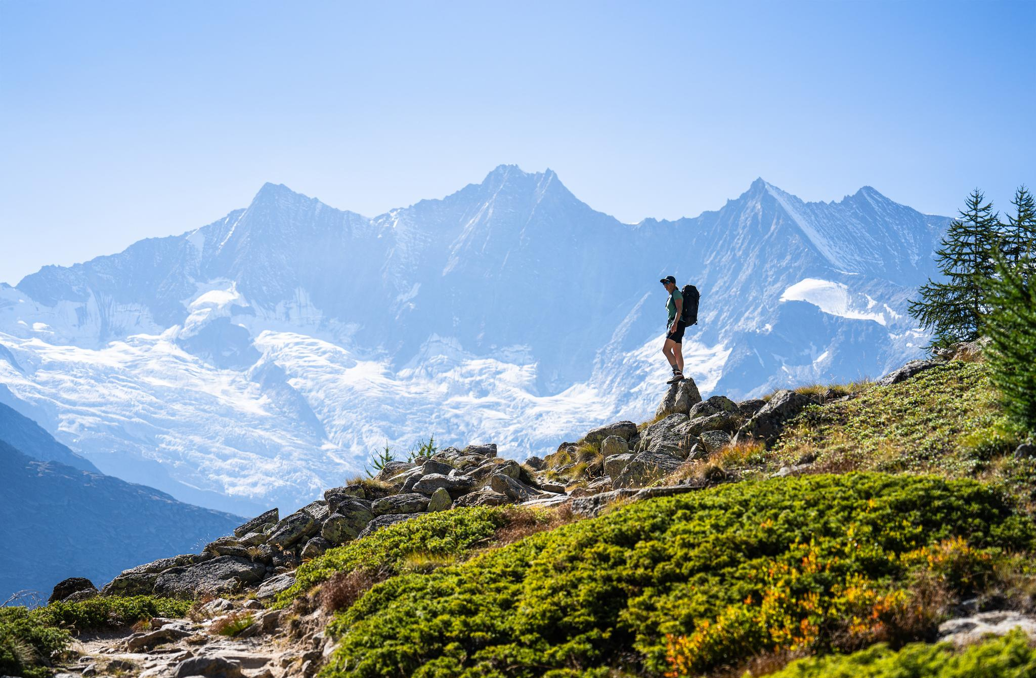
Hiking in Saas-Fee/Saastal – an arena for adventurers
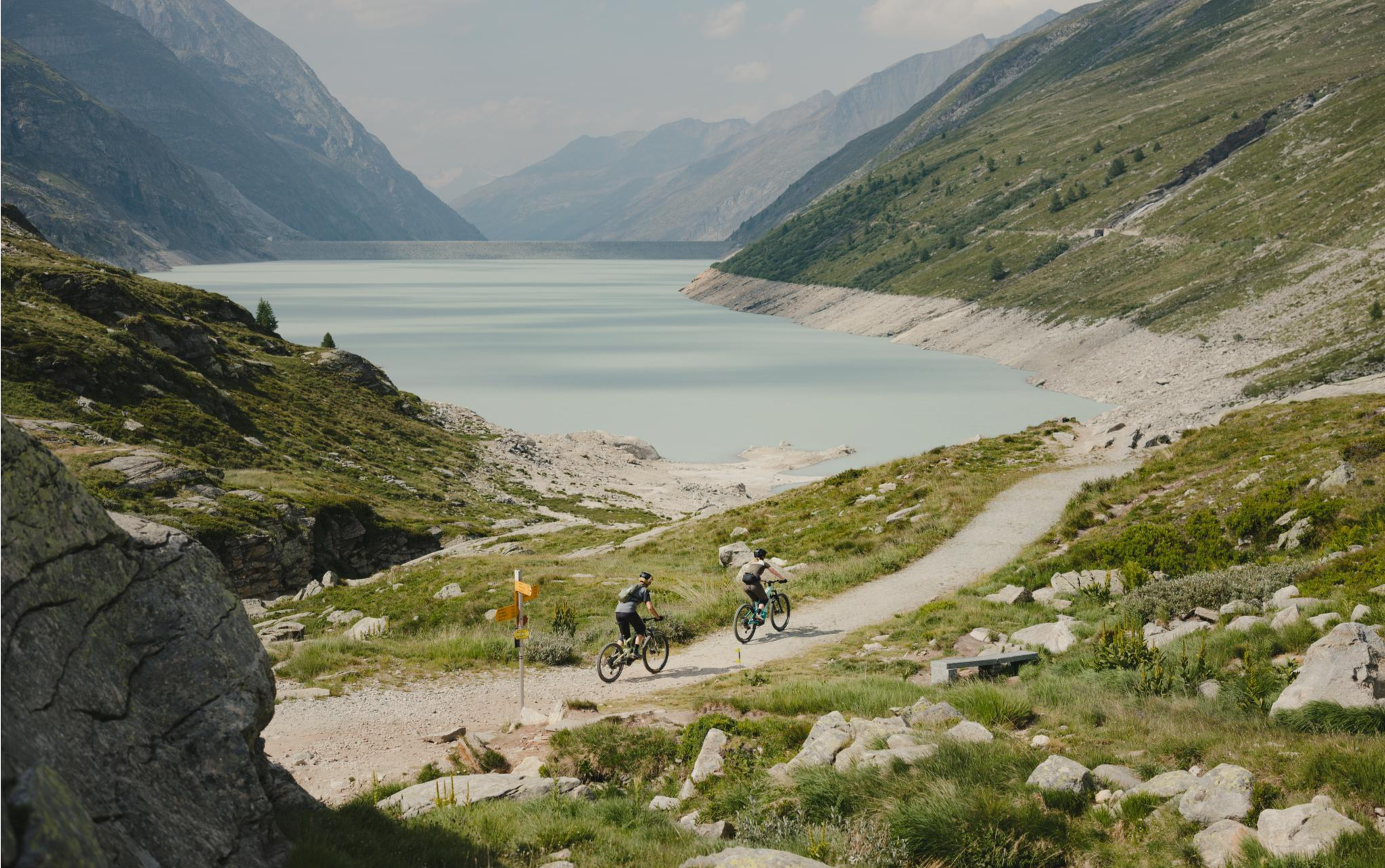
Trail magic in the Saas Valley – MTB between 4,000-metre peaks
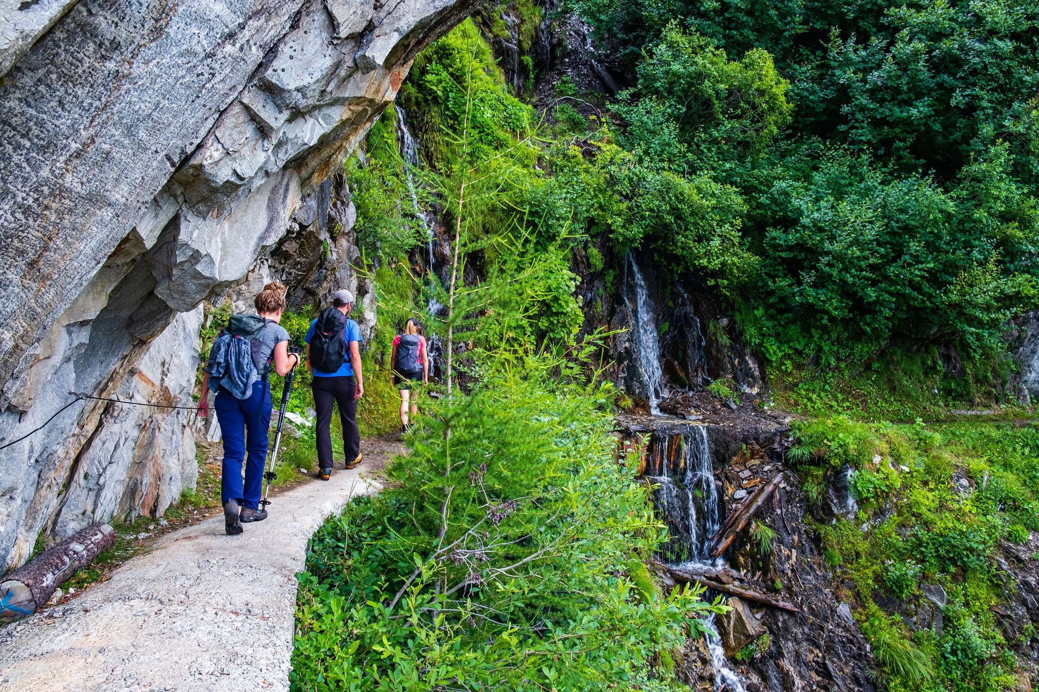
Passes, lakes and alpine huts in Switzerland – discover the Valais
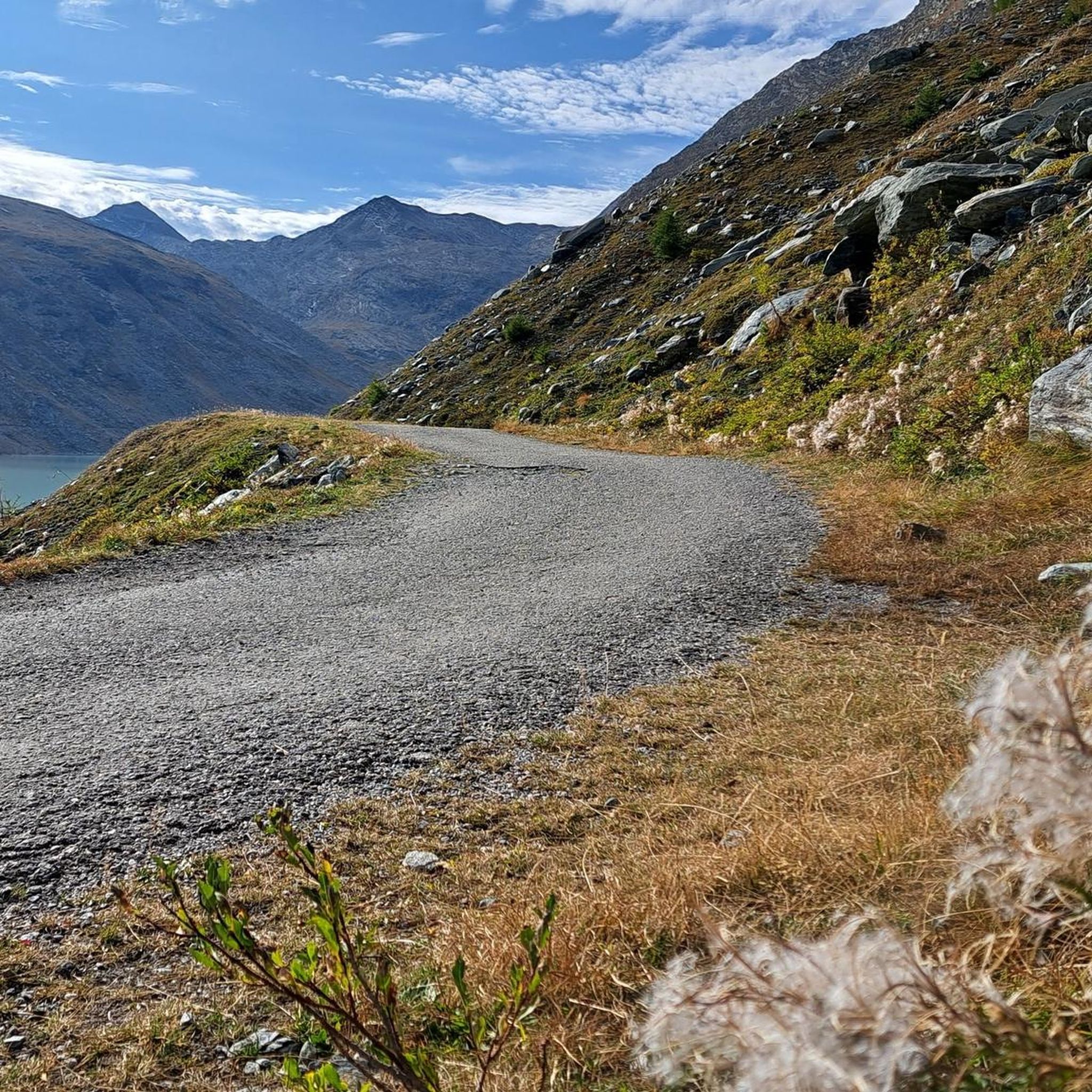
Hiking around Saas-Almagell
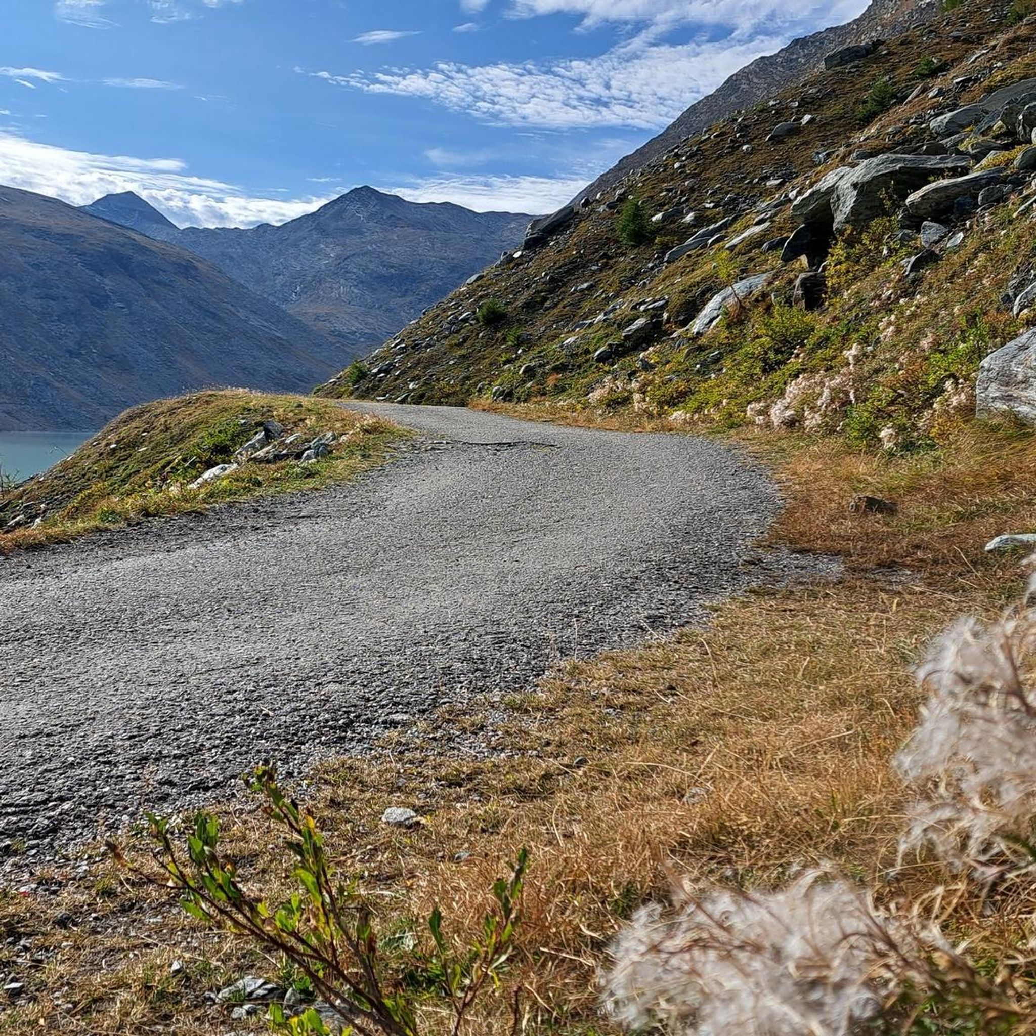
MTB Trails around Saas-Almagell
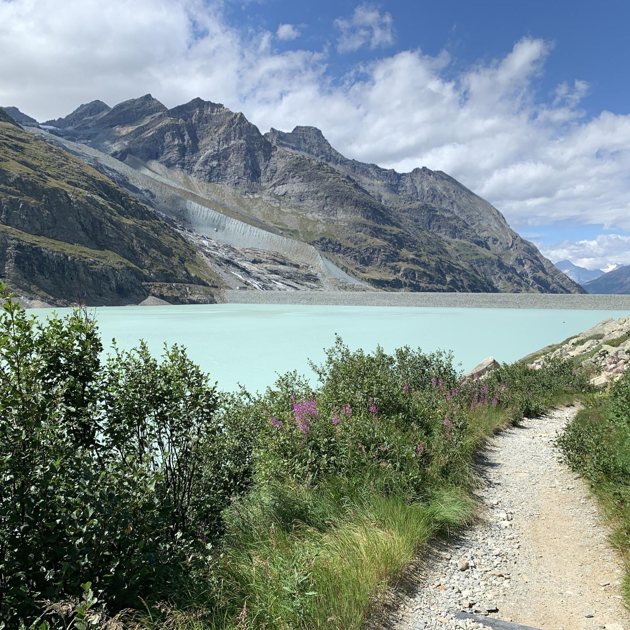
Cycling around Saas-Almagell
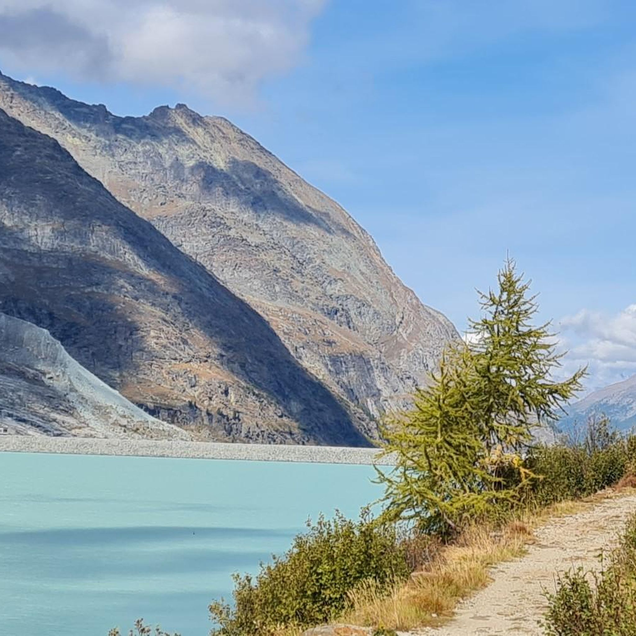
Running Trails around Saas-Almagell
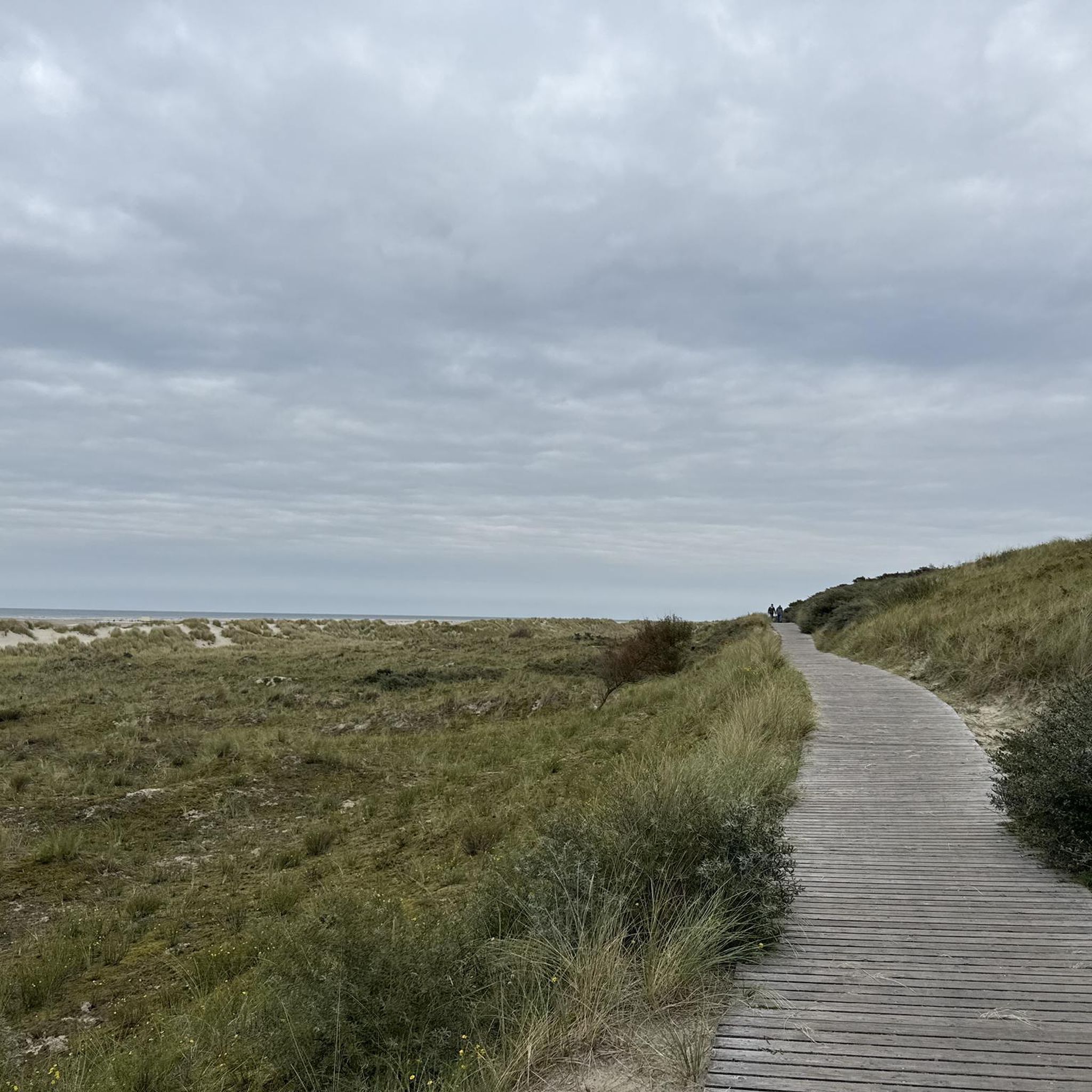
Mountain Hikes around Saas-Almagell
Other adventures around Saas-Almagell


Tips from the Community

Not easy but beautiful
0
0

From here you have a great view towards Mattmark and there is a very nice playground.
8
0
From the dam you have a great view of the Saas Valley and the Valais mountains.
7
0

Super beautiful view ☺️ , also of the many waterfalls.
5
0

here is the port to cross the lake
1
0
a bit of traffic but good road surface
0
0

Surrounded by high alpine tranquility and glacial peaks, the turquoise-blue Mattmarksee lies at your feet. This artificial lake is located at over 2,000 meters in the farthest reaches of the Saas Valley. It stores meltwater and supplies the region with renewable energy.
1
0

From Saas-Fee via Saas-Grund to the dam, the road is easily accessible for any bicycle.
0
0
Frequently Asked Questions
What kind of terrain can I expect when road cycling in Saas-Almagell?
Saas-Almagell offers a diverse road cycling experience within the Swiss Alps. You'll encounter significant elevation changes, winding roads through lush meadows and dense forests, and routes that often follow the Saaser Vispa River. The region is characterized by challenging ascents and exhilarating descents, all set against a backdrop of towering peaks and glaciers.
How many road cycling routes are available in the Saas-Almagell area?
There are 9 dedicated road cycling routes around Saas-Almagell, catering to various fitness levels. This includes 2 easy, 2 moderate, and 5 difficult routes, ensuring options for both casual riders and those seeking a significant challenge.
Are there any scenic loops for road cyclists in Saas-Almagell?
Yes, the region features several scenic loops. A notable moderate option is the Mattmark Reservoir – Saas-Fee loop from Saas-Fee, which covers 29.3 km with substantial elevation gain and offers stunning views of the Mattmark Reservoir. For a more challenging loop, consider the Macugnaga – Macugnaga Village loop from Macugnaga, a difficult 42.7 km ride.
What are some of the most challenging road cycling routes in the area?
For experienced riders seeking a challenge, Saas-Almagell offers several difficult routes. The Monte Mottarone and Omegna on Lake d'Orta from Macugnaga is a particularly demanding 142.4 km route with over 2,500 meters of climbing. Another challenging option is From Macugnaga to Domodossola in the Val d'Ossola, an 82.8 km path with over 1,400 meters of ascent.
What natural attractions or landmarks can I see while road cycling in Saas-Almagell?
Road cycling in Saas-Almagell offers breathtaking views of the surrounding alpine scenery, including thirteen 4,000-meter peaks and the Fee Glacier. The Mattmark Reservoir is a prominent feature, accessible via winding roads. You can also explore nearby mountain passes like Golden Madonna Statue at Monte Moro Pass or enjoy views of peaks such as Allalinhorn Summit.
What is the surface quality of the road cycling routes in Saas-Almagell?
Many of the road cycling routes around Saas-Almagell, including those around the Mattmarksee and towards Saas-Fee, feature mostly paved surfaces. This makes them ideal for road bikes, ensuring a smooth and enjoyable ride through the alpine landscape.
What do other cyclists say about road cycling in Saas-Almagell?
The road cycling routes in Saas-Almagell are highly rated by the komoot community, with an average score of 4.8 stars from 8 reviews. Cyclists often praise the stunning alpine scenery, the variety of terrain from challenging climbs to scenic valley roads, and the generally tranquil nature of the roads compared to more crowded areas.
Are there any long-distance road cycling routes starting from or near Saas-Almagell?
Yes, for those looking for longer distances, routes like From Macugnaga to the lower Val d'Ossola span nearly 80 km, offering extensive rides through varied alpine scenery and past traditional villages. The Monte Mottarone and Omegna on Lake d'Orta from Macugnaga route is even longer, at over 140 km.
Is Saas-Almagell a good destination for road cyclists seeking high alpine passes?
While specific major famous cols directly from Saas-Almagell aren't detailed, the region is part of the Valais, renowned for its high alpine terrain. The routes feature significant elevation gains and challenging gradients, providing an excellent experience for road cyclists who enjoy climbing and high mountain environments. Nearby mountain passes like Zwischbergen Pass and Egginerjoch are also part of the broader area's appeal.
What kind of views can I expect on the road cycling routes?
The routes offer spectacular views of the Saas Valley, the Vispa river, and the surrounding majestic mountain landscapes, including numerous 4,000-meter peaks. You'll cycle through larch forests, past charming hamlets, and alongside impressive natural features like the Mattmark Reservoir, providing a constantly changing and awe-inspiring panorama.
Most popular attractions around Saas-Almagell

Get inspired with the komoot mobile app


Explore more
Browse the best Road cycling routes in other regions.
