The best walks and hikes around Ottobiano
4.7
(45)
169
hikers
79
hikes
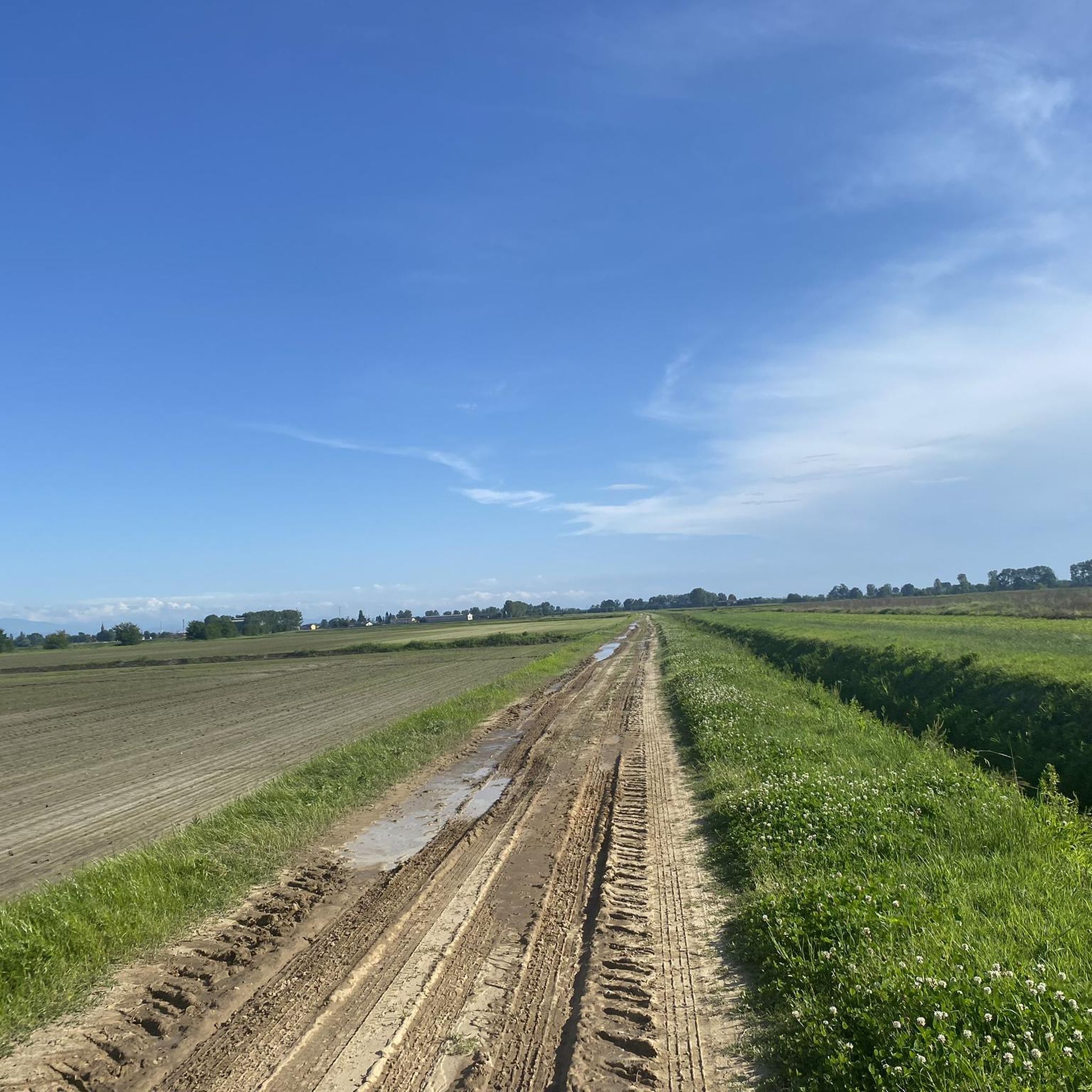
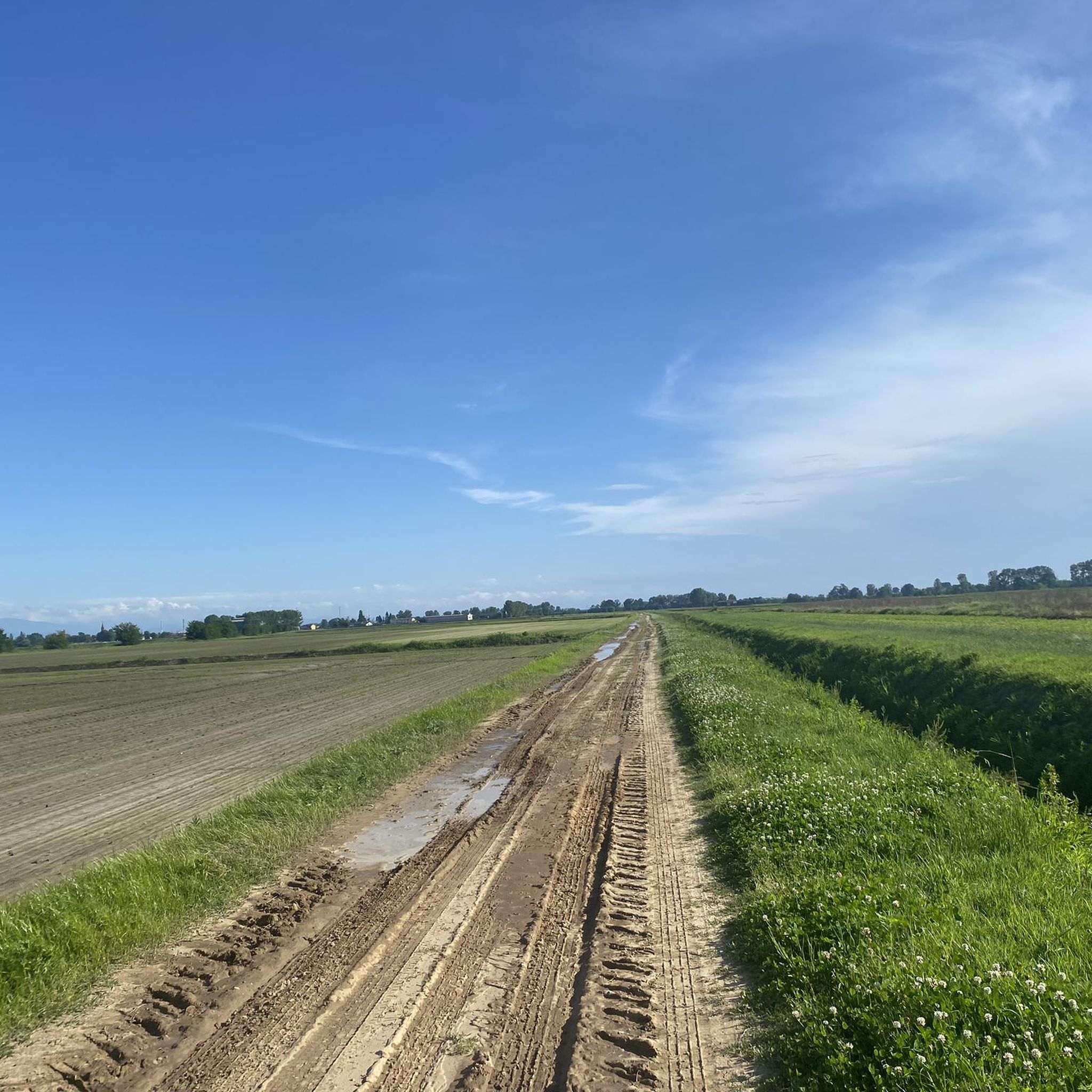
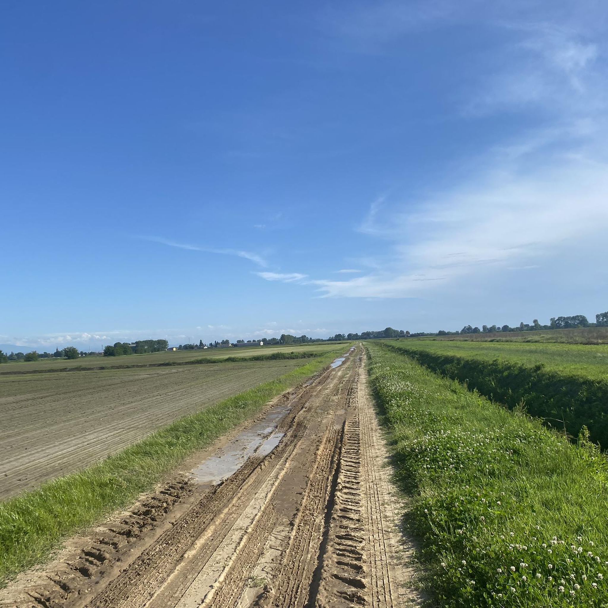
Hiking trails around Ottobiano traverse the flat landscape of the Po Valley in Lombardy, Italy. The region is characterized by extensive cultivated fields and open countryside, offering routes primarily through agricultural areas. This geographical feature means that traditional hiking with varied terrain, significant elevation changes, or mountainous features is not typical here.
Best hiking trails around Ottobiano
- The most popular hiking route is Loop tour in Lomellina, a 7.0 miles (11.2 km) trail that takes 2 hours 50 minutes…
Last updated: July 1, 2026
5.0
(4)
2
hikers
11.2km
02:50
20m
20m
Moderate hike. Good fitness required. Mostly accessible paths. Sure-footedness required.
8
hikers
8.07km
02:02
10m
10m
Moderate hike. Good fitness required. Easily-accessible paths. Suitable for all skill levels.

Sign up for free
6
hikers
3.59km
00:54
10m
10m
Easy hike. Great for any fitness level. Easily-accessible paths. Suitable for all skill levels.
4.7
(3)
8
hikers
Hard hike. Very good fitness required. Easily-accessible paths. Suitable for all skill levels.
4.8
(4)
7
hikers
10.5km
02:39
20m
20m
Moderate hike. Good fitness required. Easily-accessible paths. Suitable for all skill levels.
Get access to more routes and recommendations from other explorers.
Sign up for free
Already have an account?
Our route recommendations are based on thousands of hikes, rides, and runs completed by other people on komoot.
Start today with a free account
Your next adventure awaits.
Login or Signup

Tips from the Community

The town was first mentioned in documents in the 10th century. From the late Middle Ages onwards, the lords of Garlasco called themselves counts. Today, the town has approximately 10,000 inhabitants.
1
0

Beautiful, well-kept watermill with double paddle wheel, set in the middle of the town's gardens.
0
0

Gambolò is a comune in the province of Pavia, Lombardy, Italy. It has about 9,648 inhabitants and covers an area of 51.5 km². The picturesque Gambolò includes the frazioni (villages) of Belcreda, Garbana, and Remondò. Places of interest include the Castle of Gambolò, the parish church of Sts. Eusebius and Gaudentius (in neo-medieval style), and the Abbey of Sant’Eusebio. The comune is located at about 104 meters above sea level and borders the neighboring municipalities of Borgo San Siro, Mortara, Tromello, and Vigevano. 🏰🇮🇹
6
0


A classic passage in the great flat tours.
4
0

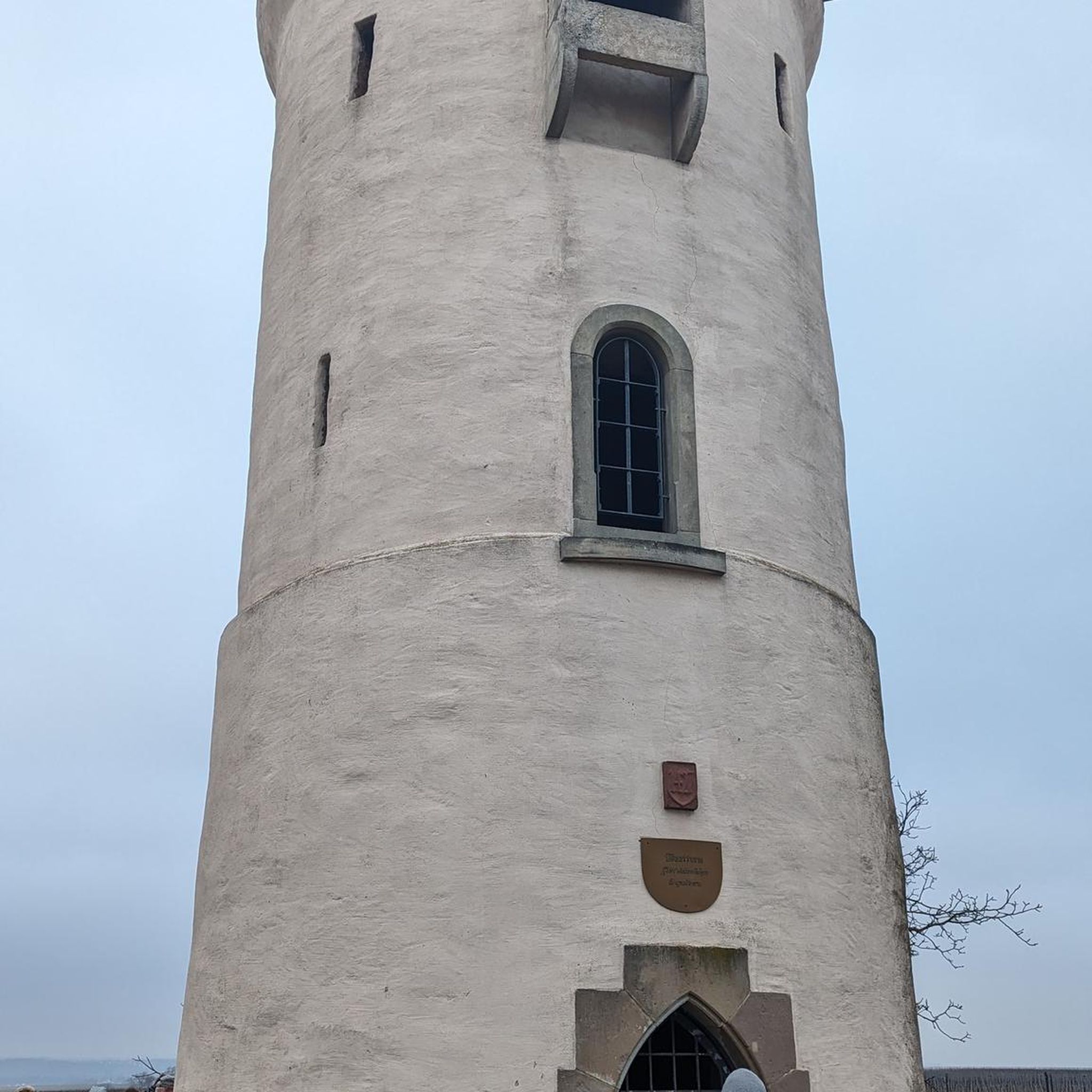
In the middle of Scaldasole stands a mighty, well-fortified castle. It dates from the Middle Ages.
0
0
This church is a wonderful example of Lombard Romanesque. It was first mentioned at the beginning of the 12th century.
0
0
Frequently Asked Questions
How many hiking trails are available around Ottobiano?
There are over 70 hiking routes around Ottobiano, offering a variety of options for different preferences and fitness levels. These include 42 easy routes, 29 moderate routes, and 1 difficult route.
What kind of terrain can I expect on hikes around Ottobiano?
Hikes around Ottobiano primarily traverse the flat landscape of the Po Valley. You can expect routes through extensive cultivated fields and open countryside. The terrain is generally flat with minimal elevation changes, making it suitable for leisurely walks rather than challenging mountain treks.
Are there any family-friendly hiking options in Ottobiano?
Yes, many of the routes in Ottobiano are suitable for families due to their flat and easy terrain. For instance, the Hiking loop from Sannazzaro de' Burgondi is an easy 4.8-mile (7.7 km) path with minimal elevation gain, ideal for a family outing.
Can I bring my dog on the trails in Ottobiano?
Most trails in the open countryside around Ottobiano are generally dog-friendly, but it's always recommended to keep your dog on a leash, especially when passing through cultivated fields or near livestock. Always ensure to clean up after your pet.
Are there any circular hiking routes available?
Yes, many of the routes around Ottobiano are designed as circular loops. An example is the Loop tour in Lomellina, which is a 7.0-mile (11.2 km) moderate trail that brings you back to your starting point.
What are some interesting landmarks or attractions to see near the trails?
While hiking, you can explore several historical and cultural attractions nearby. Consider visiting Scaldasole Castle, Beccaria Castle of Pieve del Cairo, or the Sanctuary of Madonna della Bozzola. The Via Francigena Path Near Pavia also passes through the broader region.
What is the best time of year to go hiking in Ottobiano?
The best time to hike in Ottobiano is typically during spring (April-May) and autumn (September-October) when the weather is mild and pleasant. Summer can be quite hot in the Po Valley, and winter can be chilly and damp, though trails remain accessible year-round.
Are there any challenging hikes for experienced trekkers?
While the region is predominantly flat, there is one difficult route available for those seeking a longer challenge. The Remondo – Garlasco Town Center loop from Cascina Roventino is a 17.2-mile (27.7 km) trail that can take around 7 hours to complete, offering a significant distance challenge through cultivated fields.
What do other hikers say about the trails in Ottobiano?
The trails in Ottobiano are highly rated by the komoot community, with an average score of 4.6 stars from over 40 reviews. Hikers often praise the peaceful, open countryside and the ease of navigation on the flat paths, making them ideal for relaxed walks and cycling.
Are there any trails suitable for wheelchairs or strollers?
Given the flat and agricultural nature of the terrain, many of the paths around Ottobiano are unpaved farm tracks or gravel roads. While some sections might be suitable, it's best to check individual route details for specific surface conditions to determine their accessibility for wheelchairs or strollers.
Where can I find parking for hiking trails in Ottobiano?
Parking availability varies by trailhead. Many routes start from small towns or villages where street parking may be available. For specific routes, it's advisable to check the route details on komoot for information on designated parking areas or suitable starting points.
Are there any natural features like waterfalls or significant viewpoints?
Ottobiano is located in the flat Po Valley, which means it does not feature dramatic natural elements like waterfalls, mountains, or significant viewpoints with high elevation. The landscape is characterized by open fields and agricultural scenery, offering a different kind of natural beauty.
What is the typical duration of hikes in the area?
Hikes around Ottobiano vary in length and duration. Easy routes like the Ristoro Garlasco – Garlasco Town Center loop from Garlasco can be completed in just over an hour, while longer, more challenging routes can take up to 7 hours or more.
Most popular routes around Ottobiano
Most popular attractions around Ottobiano

Get inspired with the komoot mobile app


Explore more
Browse the best Hikes in other regions.
