The best walks and hikes around Muggiò
4.3
(875)
8,124
hikers
17
hikes
Hiking around Muggiò offers accessible routes primarily along the Villoresi Canal and through local parks. The terrain is generally flat, characterized by canal towpaths and green spaces, making it suitable for leisurely walks. This area provides opportunities for outdoor activity close to urban centers, with paths often following waterways.
Best hiking trails around Muggiò
- The most popular hiking route is Villoresi Canal towpath – Villoresi Cycle Path – 58 km loop from Nova Milanese, a 3.5 miles (5.7 km)…
Last updated: October 1, 2026
30
hikers
Easy hike. Great for any fitness level. Easily-accessible paths. Suitable for all skill levels.
3.8
(5)
29
hikers
Moderate hike. Good fitness required. Easily-accessible paths. Suitable for all skill levels.

8
hikers
Easy hike. Great for any fitness level. Easily-accessible paths. Suitable for all skill levels.
15
hikers
5.50km
01:24
10m
10m
Easy hike. Great for any fitness level. Easily-accessible paths. Suitable for all skill levels.
4
hikers
11.1km
02:49
30m
30m
Moderate hike. Good fitness required. Easily-accessible paths. Suitable for all skill levels.
Get access to more routes and recommendations from other explorers.
Already have an account?
Our route recommendations are based on thousands of hikes, rides, and runs completed by other people on komoot.
Start today with a free account
Your next adventure awaits.
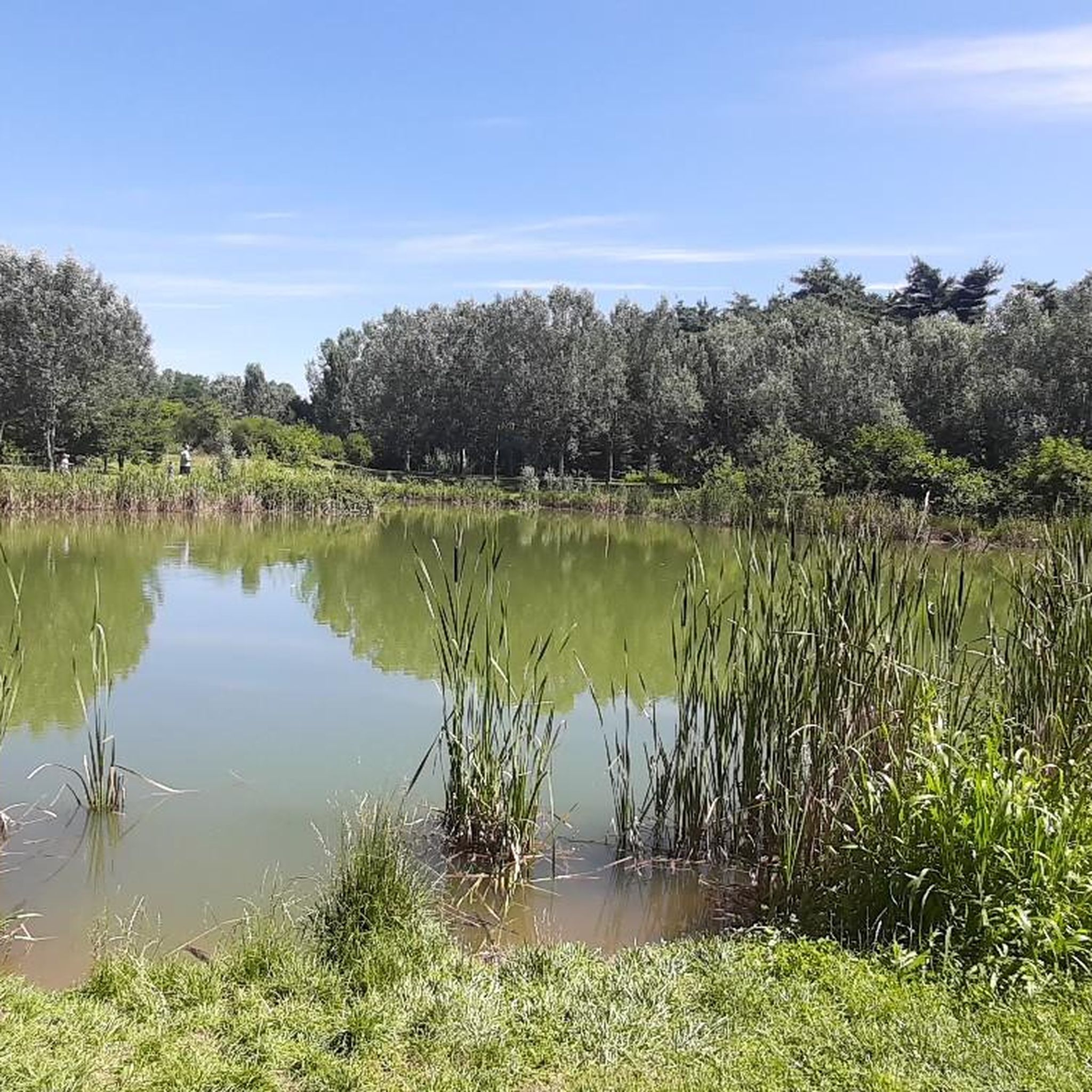
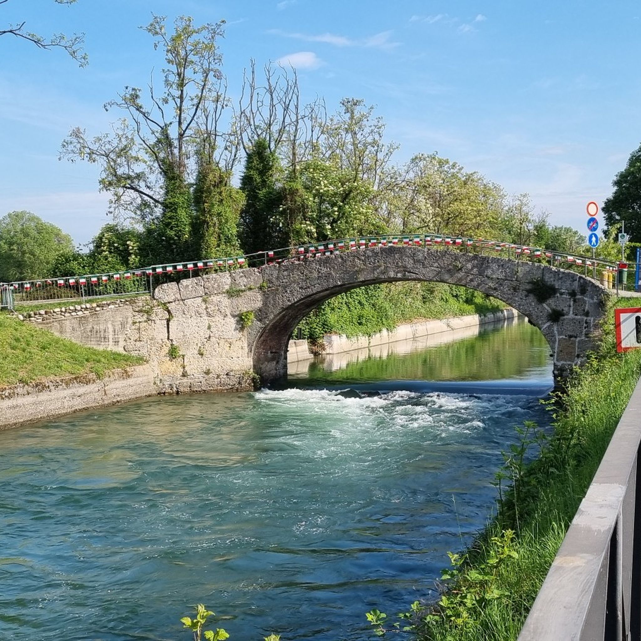
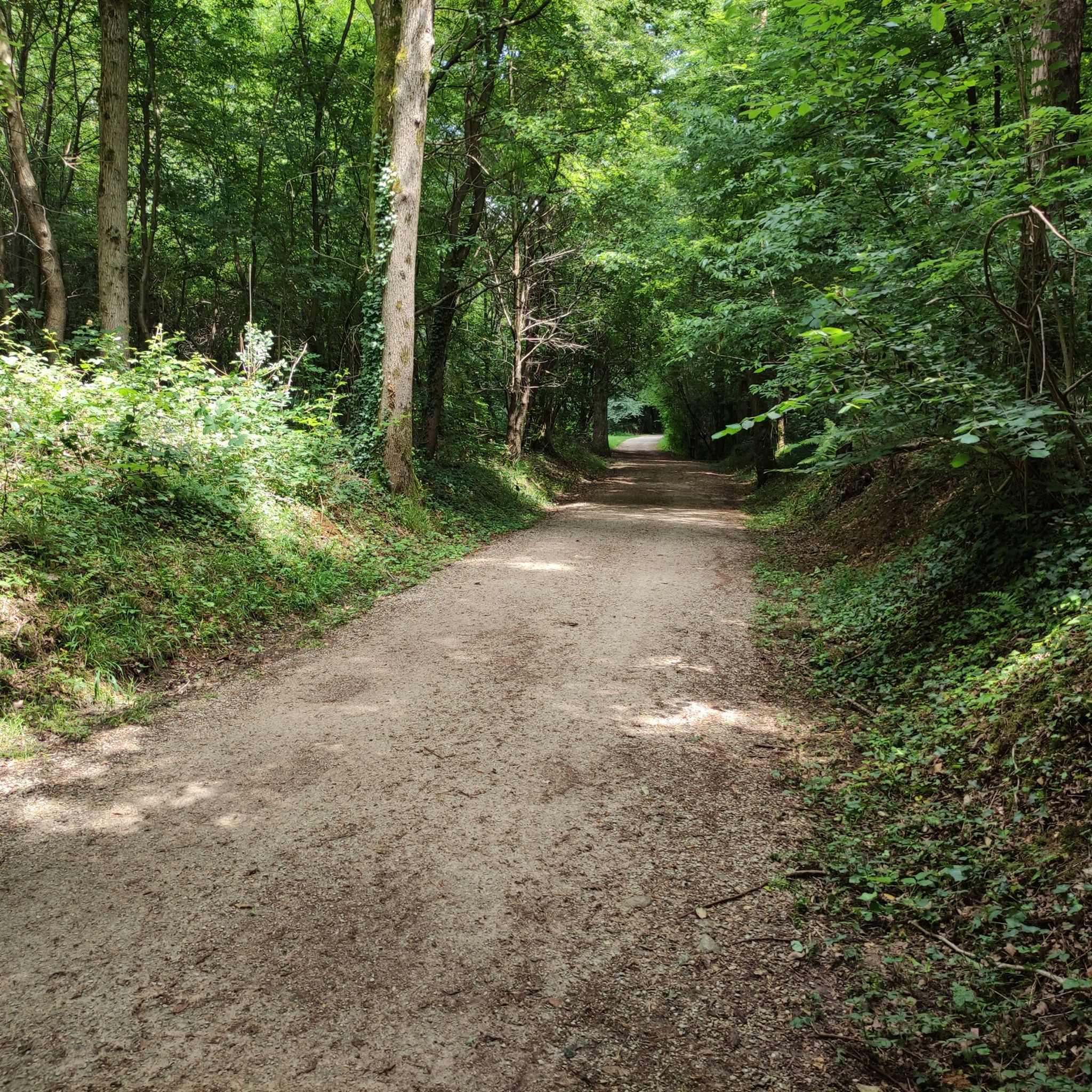

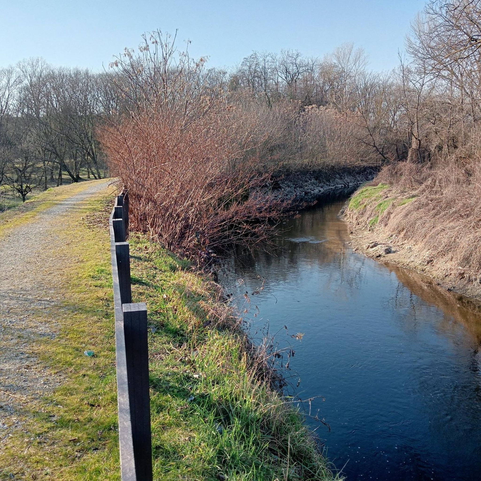
Tips from the Community


The Grugnotorto Villoresi Park officially joined the Central Brianza Park on December 19, 2019, giving birth to the new GruBrìa Park. It is a large Local Park of Supramunicipal Interest (PLIS) that protects over 2,150 hectares of green areas, agricultural land, and canals enclosed in one of the most urbanized areas in Europe.
0
0
The Villoresi canal takes water from the river Ticino, in the locality of Panperduto, in the municipality of Somma Lombardo. After travelling 86 kilometers, through the provinces of Milan and Monza Brianza, it flows into the river Adda in the municipality of Cassano d’Adda. Construction work began in 1881 and was completed in 1891 based on the project by Eugenio Villoresi. Originally intended exclusively for irrigation, following the crisis in crops related to silk production, the canal now allows water distribution in a plain area of approximately 85,000 hectares, through a network that totals about 3,000 kilometers. The routes, which are free of difficulties, accessible to everyone and certainly of interest, are part of the investments made to enhance the towpaths of the waterways, and are also considered a fast connection route between the various Municipalities touched by the canal.
3
0
The Villoresi canal takes water from the river Ticino, in the locality of Panperduto, in the municipality of Somma Lombardo. After travelling 86 kilometers, through the provinces of Milan and Monza Brianza, it flows into the river Adda in the municipality of Cassano d’Adda. Construction work began in 1881 and was completed in 1891 to a design by Eugenio Villoresi. Originally intended exclusively for irrigation, following the crisis in crops related to silk production, the canal now allows water distribution in a plain area of approximately 85,000 hectares, through a network that totals around 3,000 kilometers. The paths, which are free of difficulties, accessible to everyone and certainly of interest, are part of the investments made to enhance the towpaths of the waterways, and are also considered a fast connection route between the various Municipalities bordering the canal.
1
0
The Grugnotorto Villoresi Park is today officially part of the GruBrìa Park, a vast local park of supramunicipal interest (PLIS) born in 2019 from the union with the Central Brianza Park. It extends for about 2,250 hectares between North Milan and Brianza, offering an important network of green areas and ecological corridors in one of the most urbanized areas of Italy.
1
0
The Villoresi Canal cycle path runs through the Lombardy countryside, along the entire length of the Villoresi Canal, the historic waterway built for irrigation in the late 19th century by engineer Eugenio Villoresi. The canal draws water from the Ticino River near Somma Lombardo and, after an 86 km journey, returns it to the Adda River near Groppello.
3
0
It is located in Piazza Virgilio
1
0

Perfect for a relaxing outing or a pleasant stroll. If you're passing through Monza's city center, stopping in the square for coffee and a pastry is practically a must: it recharges your batteries better than any energy bar! A smooth cycle path suitable for all levels.
3
0
Frequently Asked Questions
What kind of hiking trails can I expect around Muggiò?
Hiking around Muggiò primarily features accessible routes along the Villoresi Canal Cycle Path and through local parks. The terrain is generally flat, characterized by canal towpaths and green spaces, making it suitable for leisurely walks rather than strenuous climbs.
How many hiking trails are available around Muggiò?
There are over 500 hiking routes available around Muggiò. The majority, about 296, are classified as easy, with another 188 considered moderate, offering a wide range of options for different fitness levels.
Are there many easy hiking options in Muggiò?
Yes, Muggiò is ideal for easy hikes. Nearly 300 routes are classified as easy, often following the flat and scenic paths along the Villoresi Canal or winding through local urban parks. These are perfect for a relaxed outing.
Are there any circular hiking routes in Muggiò?
Yes, several circular routes are available. For example, the Villoresi Cycle Path – 58 km – Villoresi Canal towpath loop from Muggiò offers a pleasant 4.4 km loop along the canal. Another option is the Parco Grugnotorto Villoresi – Viale del Parco loop from Taccona, which is a 4.1 km trail through urban parkland.
What natural features can I see on walks around Muggiò?
The main natural features you'll encounter are the Villoresi Canal and various green spaces within urban parks. These areas provide a tranquil environment for walks, often with tree-lined paths and opportunities to observe local flora and fauna along the waterway.
What do other hikers enjoy most about hiking in Muggiò?
The hiking routes in Muggiò are highly rated by the komoot community, with an average score of 4.4 stars from over 1100 reviews. Hikers often praise the accessibility and the pleasant, flat paths, especially those along the Villoresi Canal, which are ideal for relaxed walks.
Are the hiking trails in Muggiò suitable for families?
Yes, many trails in Muggiò are very suitable for families. The generally flat terrain and well-maintained paths, particularly along the Villoresi Canal and in local parks, make them accessible for all ages and fitness levels, including those with strollers.
Are dogs allowed on the hiking trails in Muggiò?
Most public paths and parks in Muggiò, including the canal towpaths, are generally dog-friendly. However, it's always recommended to keep dogs on a leash and to check specific park regulations for any restrictions.
What are some interesting landmarks or attractions near the hiking trails?
While hiking, you can explore several nearby attractions. The Villoresi Canal Cycle Path itself is a notable feature. You might also consider visiting the Royal Villa of Monza, a historic palace with extensive gardens, or the Niguarda Lake in Parco Nord Milano, both offering additional points of interest not far from Muggiò.
Is there public transport access to hiking areas in Muggiò?
Muggiò is well-connected by local public transport, making it accessible to various starting points for hikes. You can use local bus services to reach areas near the Villoresi Canal or the Parco Grugnotorto Villoresi, where many trails begin.
Where can I find parking for hikes around Muggiò?
Parking is generally available in and around Muggiò, especially near urban parks and residential areas that border the canal paths. Look for designated parking spots in proximity to the trailheads or public parking facilities within the town.
What is the best time of year to go hiking in Muggiò?
The best time to hike in Muggiò is typically during spring (April to June) and autumn (September to October) when the weather is mild and pleasant. Summer can be warm, but the tree-lined canal paths offer some shade. Winter walks are also possible on clear days.
Most popular attractions around Muggiò

Get inspired with the komoot mobile app


Explore more
Browse the best Hikes in other regions.
