The best MTB trails around Varedo
4.3
(2137)
8,307
riders
277
rides
Mountain bike trails around Varedo offer diverse terrain, primarily characterized by the expansive Groane Park, the scenic Villoresi Canal, and the natural setting of Brenna Forest. The region provides a network of cycling paths that incorporate both natural and semi-natural landscapes. These areas feature varied surfaces, including forest paths and canal-side trails, suitable for different riding preferences. The topography includes gentle gradients along waterways and more significant elevation gains within the park and forest areas.
Best mountain bike trails around…
Last updated: October 8, 2026
4.3
(197)
551
riders
Hard mountain bike ride. Good fitness required. Advanced riding skills necessary. Some portions of the route may require you to push your bike.
3.6
(42)
100
riders
42.4km
02:52
170m
170m
Moderate mountain bike ride. Good fitness required. Suitable for all skill levels.

4.5
(23)
57
riders
Easy mountain bike ride. Great for any fitness level. Suitable for all skill levels.
5.0
(3)
23
riders
76.2km
05:38
740m
740m
Hard mountain bike ride. Very good fitness required. Advanced riding skills necessary.
4.4
(11)
23
riders
74.7km
04:06
120m
120m
Moderate mountain bike ride. Good fitness required. Advanced riding skills necessary.
Get access to more routes and recommendations from other explorers.
Already have an account?
Our route recommendations are based on thousands of hikes, rides, and runs completed by other people on komoot.
Start today with a free account
Your next adventure awaits.
Tips from the Community

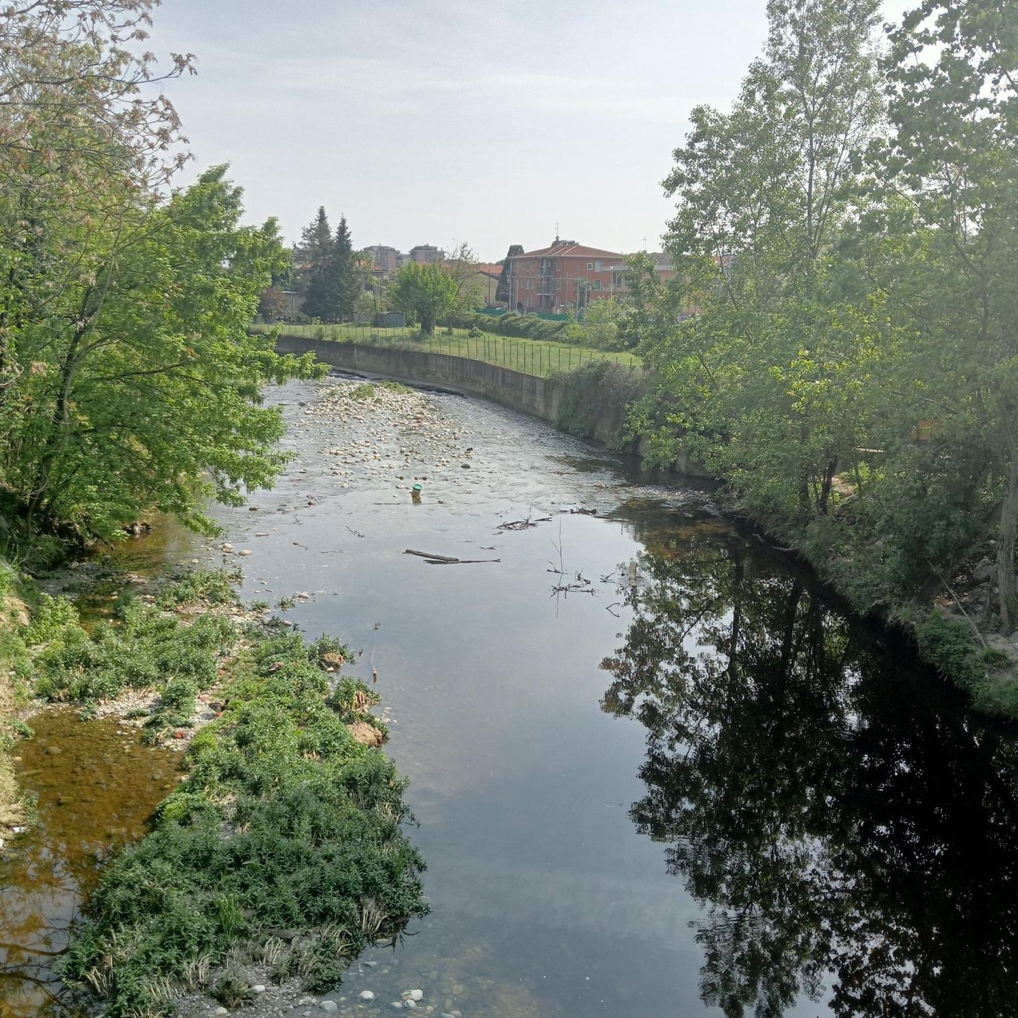
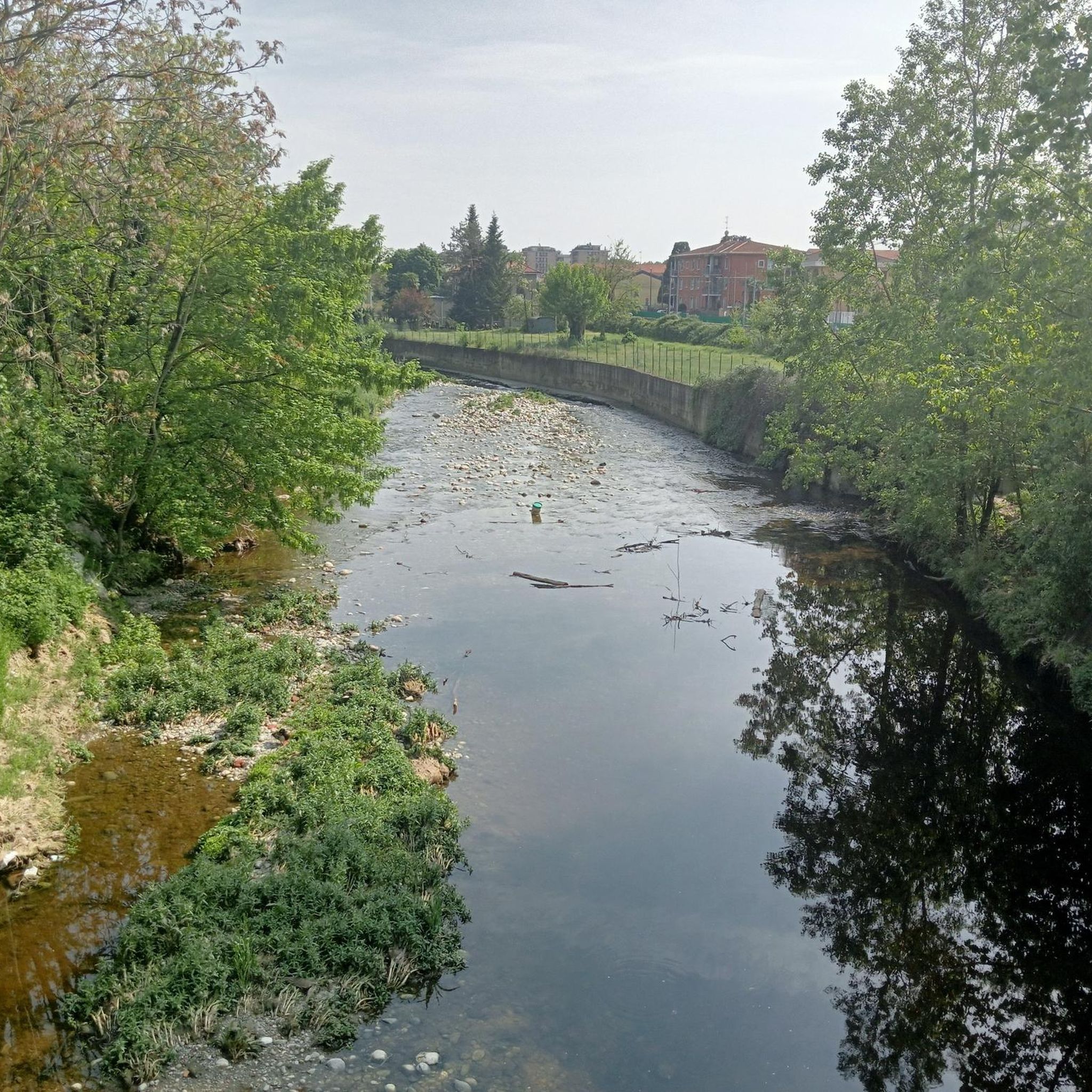
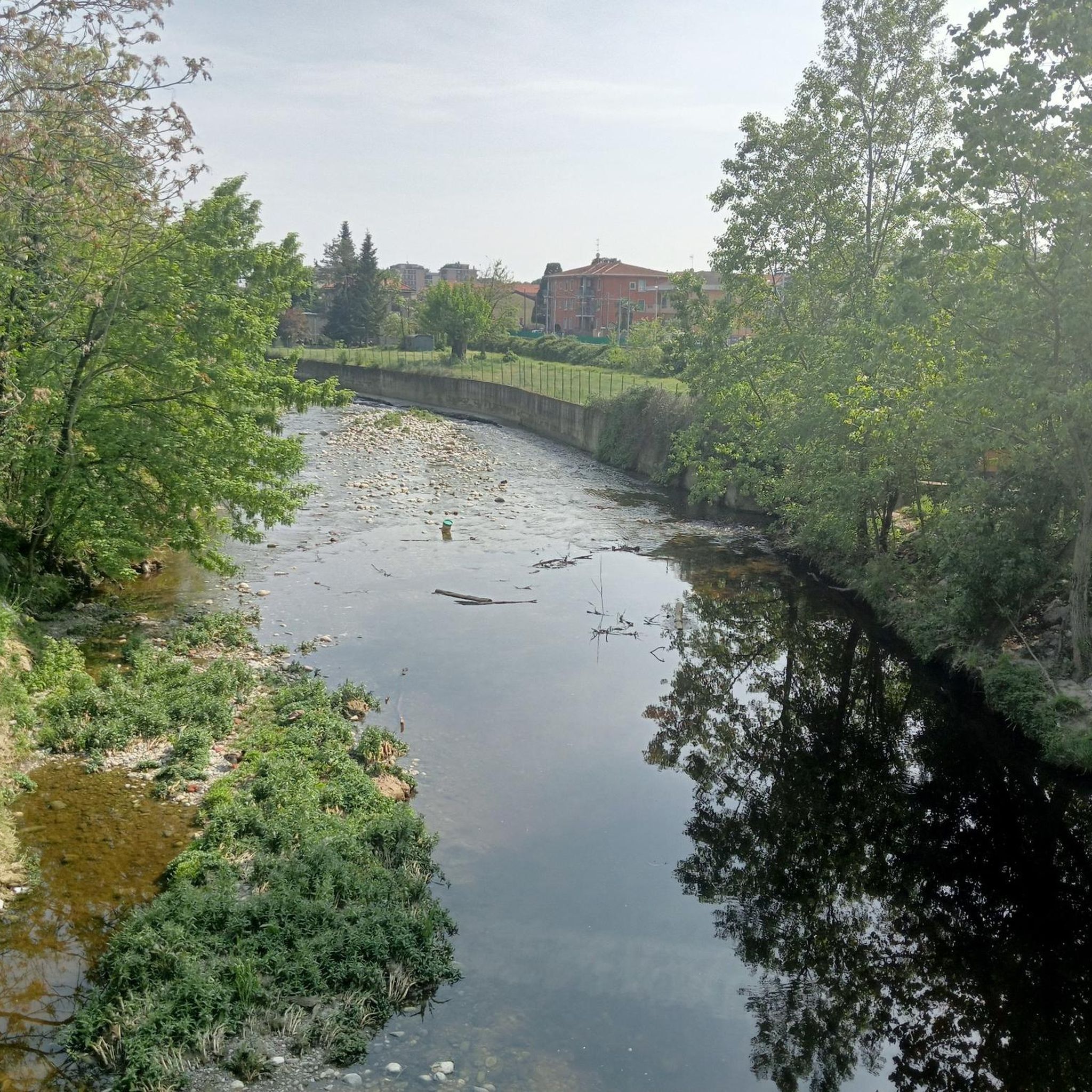
The Villoresi canal takes water from the river Ticino, in the locality of Panperduto, in the municipality of Somma Lombardo. After travelling 86 kilometers, through the provinces of Milan and Monza Brianza, it flows into the river Adda in the municipality of Cassano d’Adda. Construction work began in 1881 and was completed in 1891 to a design by Eugenio Villoresi. Originally intended exclusively for irrigation, following the crisis in crops related to silk production, the canal now allows water distribution in a plain area of approximately 85,000 hectares, through a network that totals around 3,000 kilometers. The paths, which are free of difficulties, accessible to everyone and certainly of interest, are part of the investments made to enhance the towpaths of the waterways, and are also considered a fast connection route between the various Municipalities bordering the canal.
1
0
The Villoresi canal draws water from the Ticino river, in the locality of Panperduto, in the municipality of Somma Lombardo. After traveling 86 kilometers, in the provinces of Milan and Monza Brianza, it flows into the Adda river in the municipality of Cassano d’Adda. Construction work began in 1881 and was completed in 1891 to a design by Eugenio Villoresi. Originally intended exclusively for irrigation purposes, following the crisis of crops connected with silk production, the canal now allows water distribution in a plain area of approximately 85,000 hectares, through a network that totals about 3,000 kilometers. The paths, free of difficulties, accessible to everyone and certainly of interest, are part of the investments made to enhance the towpaths of the waterways, and should also be considered a fast connection route between the various Municipalities bordering the canal.
1
0

recommended, quiet, relaxing, great for after work
0
0

The cycle bridge located in Parco Nord Milano that crosses via XX Settembre is one of the park's main cycle-pedestrian walkways, built in 1997 to unite the green areas between the municipalities of Bresso and Milano. It is located in the eastern area of the park, connecting Parco Nord of Bresso with the bordering area of Milano.
2
0
Maybe it's Women's Day, maybe it's the first day of Almost Spring, but today even on bikes we're going at a walking pace.
2
0
Located on the cycle path leading to the expansion tank
3
0
The Villoresi Canal cycle path traverses the Lombardy countryside, following the entire length of the Villoresi Canal, the historic waterway built for irrigation in the late 19th century by engineer Eugenio Villoresi. The canal draws water from the Ticino River near Somma Lombardo and, after an 86 km journey, returns it to the Adda River near Groppello.
0
0
It's an easy, flat cycling route, accessible to all types of bicycles and suitable for families with children. An ideal place for a day trip, it allows you to explore the area's rich natural and scenic beauty, cycling through cultivated fields, parks, and woods. There are several detours to explore the architectural beauty of the many municipalities along the canal, or to continue along the other cycle paths the canal crosses.
0
0
Frequently Asked Questions
What kind of terrain can I expect on mountain bike trails around Varedo?
Mountain bike trails around Varedo primarily feature diverse terrain within the expansive Groane Park, the scenic Villoresi Canal, and the natural setting of Brenna Forest. You'll find a network of cycling paths incorporating both natural and semi-natural landscapes, with varied surfaces including forest paths and canal-side trails. The topography ranges from gentle gradients along waterways to more significant elevation gains within the park and forest areas.
Are there mountain bike trails suitable for beginners in Varedo?
Yes, Varedo offers several easy mountain bike trails. A good option for any fitness level is the Villoresi Cycle Path 🚲 – Villoresi Canal Cycle Path loop from Varedo, which is 26.4 km long with minimal elevation gain.
How many mountain bike trails are available in Varedo?
There are 11 mountain bike trails available around Varedo, catering to various skill levels from easy to difficult.
What do other mountain bikers enjoy the most about mountain biking in Varedo?
The mountain biking routes in Varedo are highly rated by the komoot community, with an average score of 4.3 stars from over 1000 reviews. Users often praise the diverse terrain, from the tranquil paths along the Villoresi Canal to the wooded sections of Brenna Forest and the varied landscapes of Groane Park.
Are there any circular mountain bike routes starting from Varedo?
Yes, most of the mountain bike routes around Varedo are designed as loops. For example, the Brenna Forest – Church of Saint Adrian loop from Varedo offers a moderate 40.4 km ride through natural settings.
Is parking available near the mountain bike trailheads in Varedo?
Yes, parking is generally available near access points for Groane Park and the Villoresi Canal. Specific designated parking areas can be found at various trailheads, making it convenient to start your ride.
How can I reach the mountain bike trails around Varedo using public transport?
Varedo is accessible by public transport, which can serve as a starting point for many routes. For specific access points to Groane Park or the Villoresi Canal, it's advisable to check local bus or train schedules that connect to the park entrances or canal access points.
Are there any specific regulations or permits needed for mountain biking in Groane Park or along the Villoresi Canal?
Generally, mountain biking in Groane Park and along the Villoresi Canal does not require specific permits for recreational use. However, it's always recommended to respect local signage, stay on marked trails, and be aware of any specific park rules or temporary closures.
What natural features or landmarks can I see while mountain biking around Varedo?
While mountain biking around Varedo, you can explore significant natural features like the expansive Groane Park, the scenic Villoresi Canal, and the wooded Brenna Forest. You might also encounter highlights such as the Rosa Camuna Pond or the Zoca dei Pirutit Pond, which are part of the natural monuments in the area.
What is the best time of year for mountain biking in Varedo?
The best time of year for mountain biking in Varedo is generally spring and autumn when the weather is mild and the natural landscapes are at their most vibrant. Summer can also be pleasant, especially in the shaded forest sections, but be prepared for warmer temperatures. Winter riding is possible, but some trails might be affected by wet conditions or seasonal closures.
Are there any dog-friendly mountain bike trails in Varedo?
Many trails in Groane Park and along the Villoresi Canal are dog-friendly, allowing you to bring your canine companion. It's important to keep dogs on a leash, especially in protected areas, and to clean up after them to ensure a pleasant experience for all users.
Can you recommend a moderate mountain bike route in Varedo?
For a moderate challenge, consider the Groane Park – Cycling and pedestrian bridge over the Lura loop from Varedo. This 58.9 km route explores Groane Park and includes a crossing over the Lura river, offering a good workout with 330m of elevation gain.
Most popular attractions around Varedo

Get inspired with the komoot mobile app


Explore more
Browse the best MTB trails in other regions.
