The best walks and hikes around Agnosine
4.3
(1349)
7,102
hikers
374
hikes
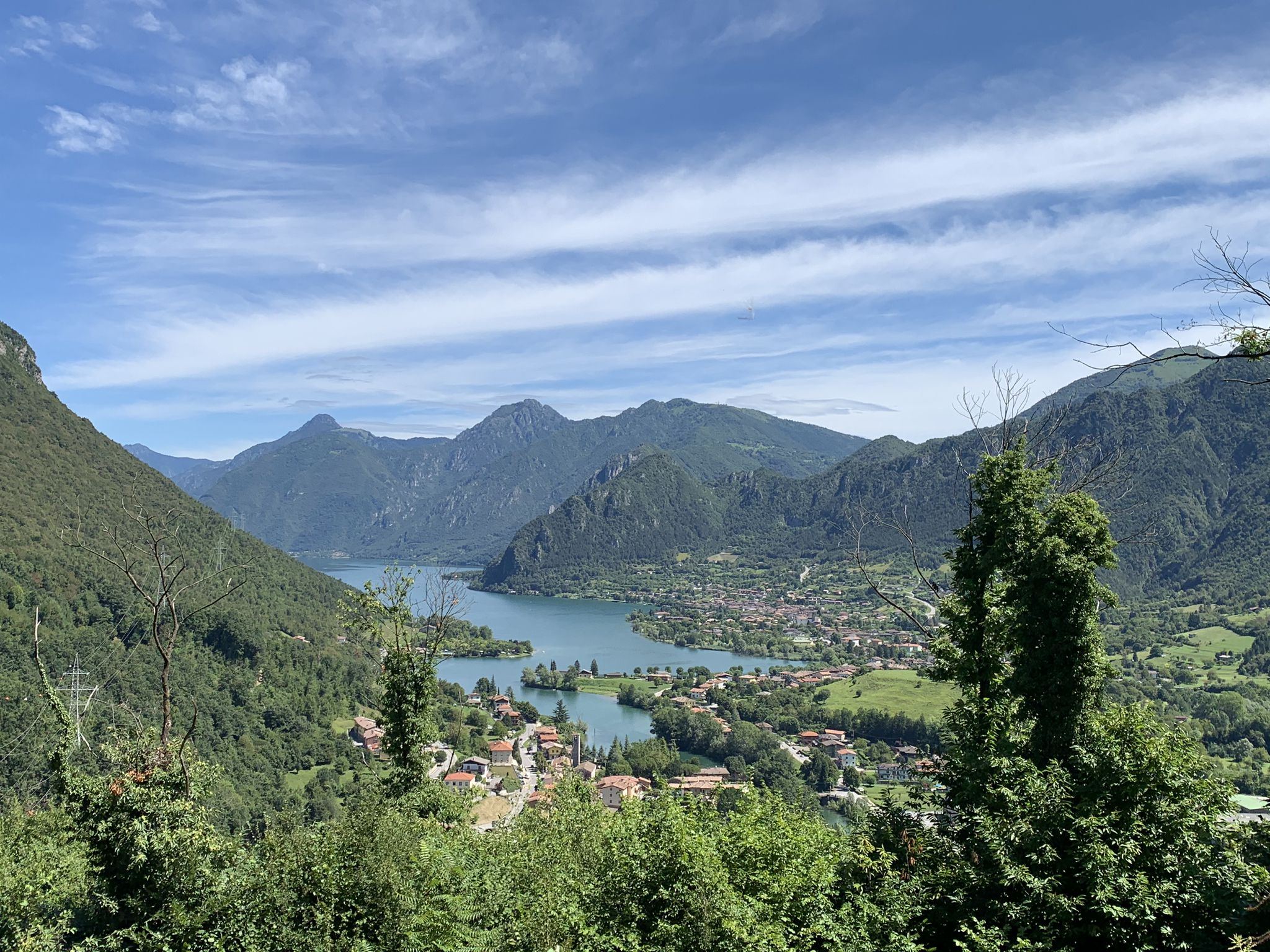
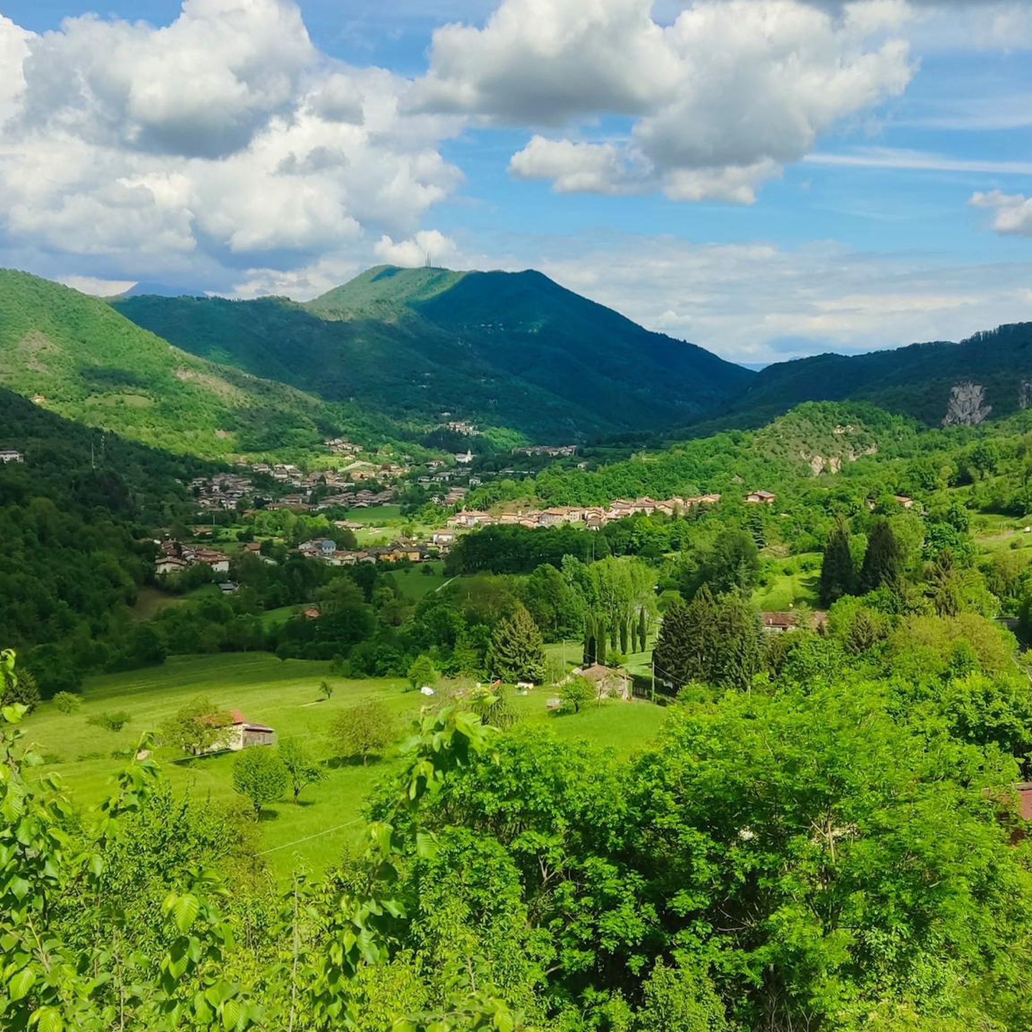
Hiking around Agnosine offers diverse natural landscapes within the province of Brescia, Lombardy, Italy. The region features trails winding through Lombard hills, providing panoramic views of valleys. Topography includes natural monuments such as lakes and canyons, alongside varied ecosystems including forests. The area presents a mix of terrain suitable for different skill levels, with significant elevation changes on some routes.
Best hiking trails around Agnosine
- The most popular hiking route is Sentiero Tranquillo Bianchi e Caduti per la Libertà, historical resistance trail, a 8.0 miles (12.9 km) trail that takes 4 hours 42 minutes to complete. This moderate route features historical significance and views of the Italian Alps.
- Another top favourite among local hikers is Sentér Bandìt trail to Passo Sant'Eusebio (CAI Route 390), a difficult 11.5 miles (18.5 km) path. This challenging route involves a significant elevation gain of over 1,100 meters.
- Local hikers also love the CAI Trail 489 from Cagnatico to Monte Cugni, a 2.8 miles (4.5 km) trail leading through hilly terrain, often completed in about 1 hour 56 minutes.
- Hiking around Agnosine is defined by Lombard hills, panoramic valley views, and diverse forests. The network offers options for different ability levels, from moderate paths to more challenging ascents.
- The routes in Agnosine are highly rated by the komoot community with an average score of 4.3 stars from over 1100 reviews. More than 6400 hikers have used komoot to explore Agnosine's varied terrain.
Last updated: June 23, 2026
5.0
(4)
13
hikers
Hike the Sentiero Tranquillo Bianchi e Caduti per la Libertà, a moderate 8.0-mile historical resistance trail with 2309 feet of gain.
3.0
(1)
3
hikers
4.51km
01:56
320m
320m
Classic CAI trail through Lombardy hills with alpine hut stop and panoramic valley views.

Sign up for free
4
hikers
Hike the moderate 8.5-mile Tranquillo Bianchi Trail Section A, gaining 1762 feet with valley views and historical landmarks.
18.5km
07:36
1,160m
1,160m
Hike the difficult Sentér Bandìt - Monte Ucia Loop, a 11.5-mile route with panoramic views in the Brescian Pre-Alps.
5.0
(1)
1
hikers
6.92km
02:37
430m
430m
Hike the moderate Augusto Pasotti Trail for 4.3 miles (6.9 km) in Valle del Garza, gaining 1424 feet (434 metres) with scenic views.
Get access to more routes and recommendations from other explorers.
Sign up for free
Already have an account?
Our route recommendations are based on thousands of hikes, rides, and runs completed by other people on komoot.
Start today with a free account
Your next adventure awaits.
Login or Signup
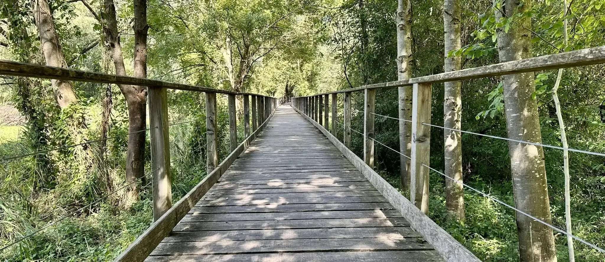


Tips from the Community

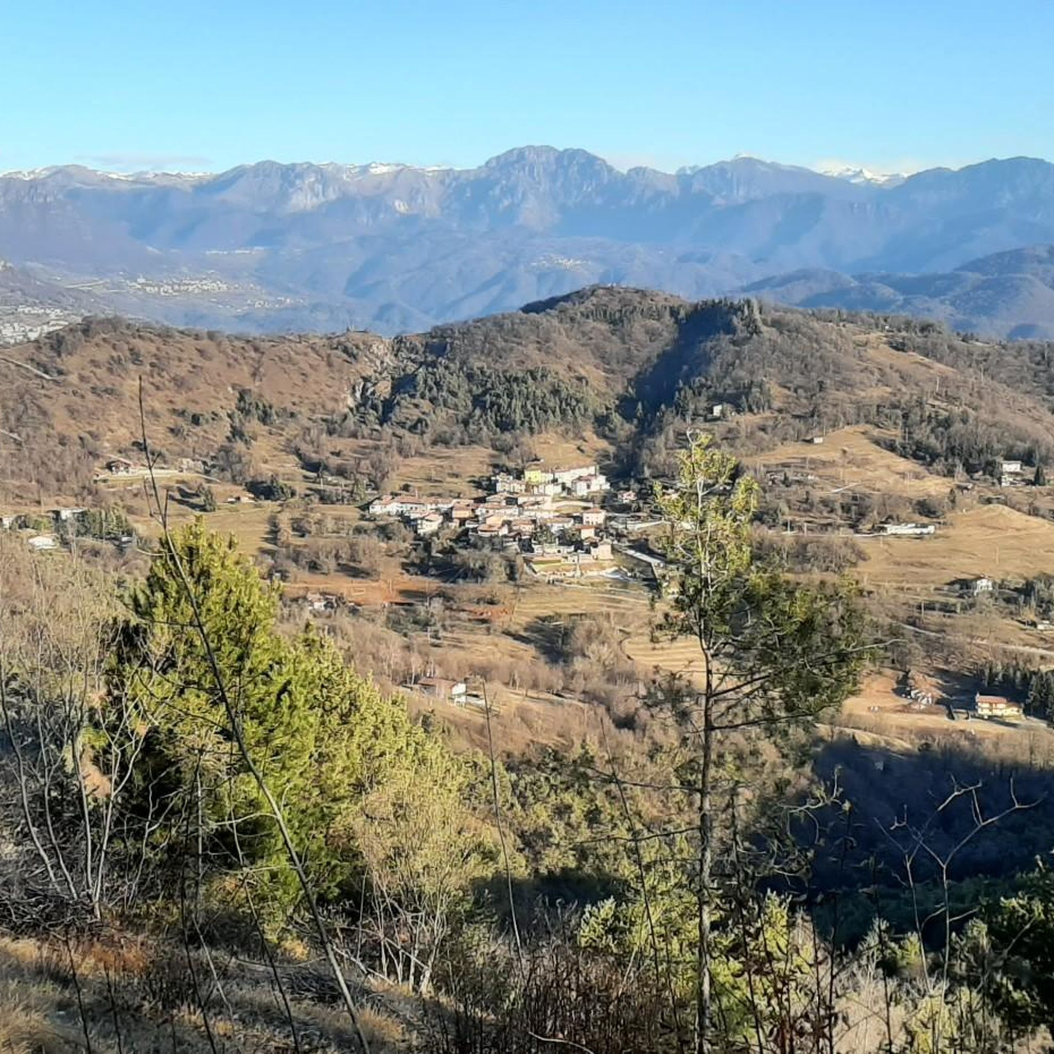
Particular view of the Odolo valley and the mountains that overlook it
0
0

to return to the Pian di Lò and avoid the descent from Prealba, because I consider it a bit treacherous, I chose this path. Be careful because it is more visible. Where the signs cross, you have to make a sharp bend, and with a sharp eye you can notice the path. Do not take the path that always goes down to the left, which would be the most visible, because it takes you out of the woods.
0
0

Beautiful tour but the time given is too short. For the average hiker, plan an extra hour.
0
0

The Sant'Eusebio pass is one of the most iconic climbs for Brescian cyclists, but it also offers a splendid opportunity for hiking lovers. The Valsabbino Ring passes through this point and offers a spectacular panoramic view of the surrounding hills and the Sabbia valley.
2
0

A very beautiful climb immersed in a magical environment.
2
0
The climb from Odolo is easy, with no major ramps. Good flow at medium speed.
2
0

Be careful on the hairpin bends Otherwise beautiful area
5
0
Very nice area especially the descent is great
6
0
Frequently Asked Questions
How many hiking trails are available around Agnosine?
Agnosine offers a wide variety of hiking opportunities, with over 360 routes available. These range from easy strolls to challenging mountain treks, ensuring options for every skill level.
Are there any easy hiking trails suitable for beginners or families in Agnosine?
Yes, Agnosine has approximately 55 easy hiking routes. While specific family-friendly routes are not detailed, many easy trails through the Lombard hills are suitable for those new to hiking or looking for a relaxed outing. For a moderate option that is not too long, consider the CAI Trail 489 from Cagnatico to Monte Cugni, which is 4.5 km long and takes under 2 hours.
What kind of landscapes can I expect to see while hiking in Agnosine?
Hikers in Agnosine can expect diverse natural landscapes. Trails wind through scenic Lombard hills, offering panoramic views of valleys and, on some routes, glimpses of Lake Garda. The region also features natural monuments like lakes and canyons, as well as varied ecosystems including forests and mountain passes.
Are there any historical routes or points of interest to explore?
Yes, Agnosine has routes with historical significance. For example, the Sentiero Tranquillo Bianchi e Caduti per la Libertà di Lumezzane is a historical resistance trail that offers views of the Italian Alps. The region also features cultural routes exploring historic centers and ancient architecture.
What do other hikers say about the trails in Agnosine?
The hiking routes in Agnosine are highly regarded by the komoot community, holding an average rating of 4.3 stars from over 1100 reviews. More than 6400 hikers have explored the varied terrain, often praising the scenic views and diverse natural environment.
Are there any challenging hikes for experienced trekkers?
Absolutely. Agnosine offers approximately 64 difficult routes for experienced hikers. A notable challenging option is the Sentér Bandìt trail to Passo Sant'Eusebio (CAI Route 390), an 18.5 km path with a significant elevation gain of over 1,100 meters, taking around 7 hours and 36 minutes to complete.
What natural attractions or landmarks can I find near the hiking trails?
Near Agnosine's hiking trails, you can discover several natural attractions. These include Lake Bongi and the unique "Marble Cathedral". The area also features various mountain passes like Colle Sant'Eusebio, offering stunning views and interesting geological formations.
Are there any circular hiking routes in Agnosine?
While specific circular routes are not detailed in the provided data, the region's network of trails, including the Anello Valsabbino trekking route, suggests that many paths can be combined to form circular walks. It's recommended to check individual route maps on komoot for loop options.
What is the typical duration for a moderate hike in Agnosine?
Moderate hikes in Agnosine can vary in duration. For instance, the route From Passo Gabbie to Boatica (via Trail 387) is about 6.9 km long and typically takes around 2 hours and 37 minutes to complete.
Is Agnosine suitable for winter hiking?
Agnosine is situated in a region with Lombard hills and mountain passes. While specific winter hiking conditions are not detailed, higher elevation trails may be subject to snow and ice. It's advisable to check local weather conditions and trail reports before attempting winter hikes and to be equipped with appropriate gear.
Are there mountain huts (rifugi) along the trails in Agnosine?
Yes, the presence of alpine refuges (rifugi) is noted along some classic CAI trails in the Agnosine area. These can provide convenient resting points or even potential overnight stays for those undertaking longer treks.
Most popular attractions around Agnosine

Get inspired with the komoot mobile app


Explore more
Browse the best Hikes in other regions.
