The best walks and hikes around Bienno
4.3
(340)
2,150
hikers
75
hikes
Hiking around Bienno, located in Valle Camonica, offers diverse landscapes for outdoor enthusiasts. The region is characterized by lush mountains, significant passes like Crocedomini Pass and Campelli Pass, and picturesque alpine lakes such as Laghetto della Sorba and Lake Lova. Trails wind through forests, cultivated fields, and provide access to mountain huts, offering varied terrain for exploration.
Best hiking trails around Bienno
- The most popular hiking route is Monte Stabio and Laghetto della Sorba Trail, a 10.7 miles (17.2…
Last updated: October 10, 2026
4.6
(15)
89
hikers
17.2km
06:37
1,140m
1,140m
Hard hike. Very good fitness required. Mostly accessible paths. Sure-footedness required.
4.3
(4)
12
hikers
20.9km
07:10
1,120m
1,120m
Hard hike. Very good fitness required. Easily-accessible paths. Suitable for all skill levels.

18
hikers
16.9km
05:13
650m
650m
Hard hike. Very good fitness required. Easily-accessible paths. Suitable for all skill levels.
2.0
(1)
3
hikers
18.9km
06:59
1,110m
1,110m
Hard hike. Very good fitness required. Mostly accessible paths. Sure-footedness required.
5.0
(1)
1
hikers
13.7km
04:48
660m
660m
Moderate hike. Good fitness required. Mostly accessible paths. Sure-footedness required.
Get access to more routes and recommendations from other explorers.
Already have an account?
Our route recommendations are based on thousands of hikes, rides, and runs completed by other people on komoot.
Start today with a free account
Your next adventure awaits.
Popular around Bienno
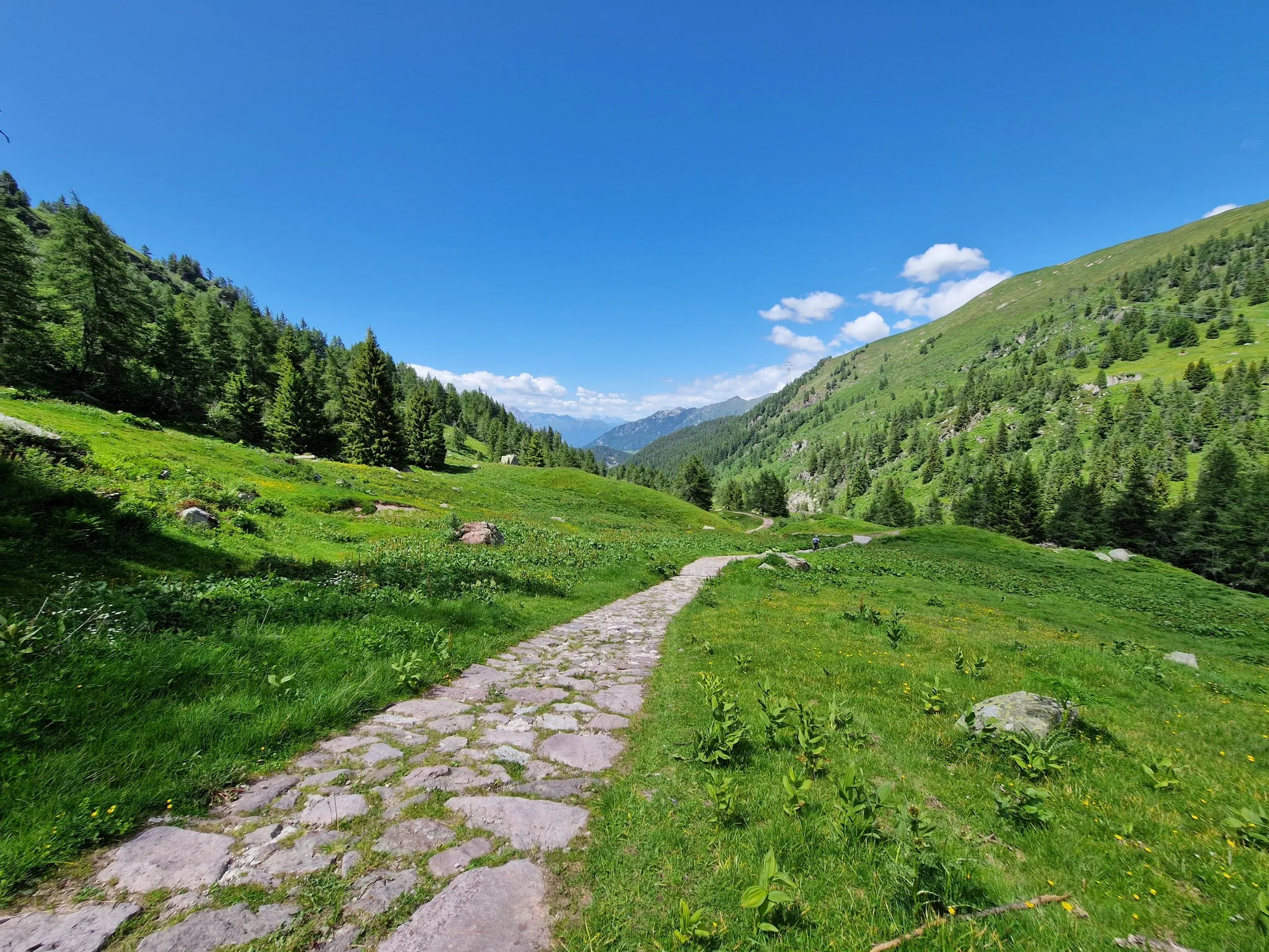
Adventure in Val Camonica – CamminaForeste in Lombardia part 3
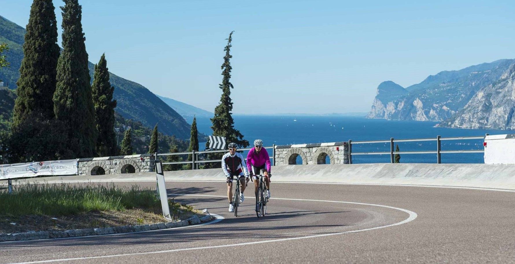
Lakeside paradises and great climbs – seven rides between Lakes Garda and Iseo
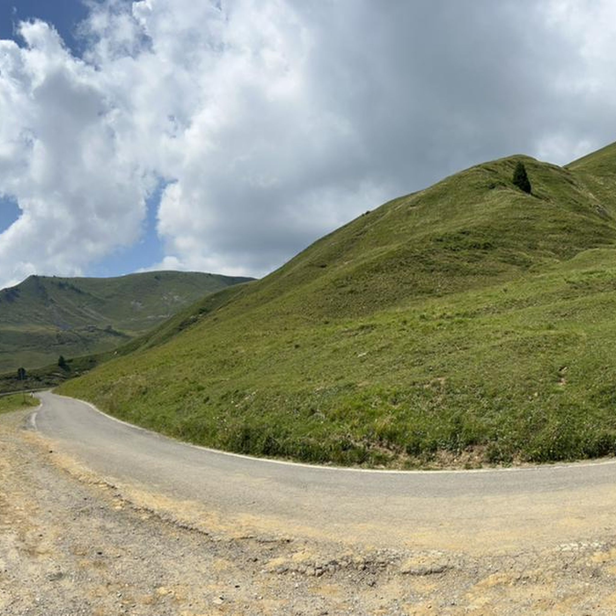
Road Cycling Routes around Bienno
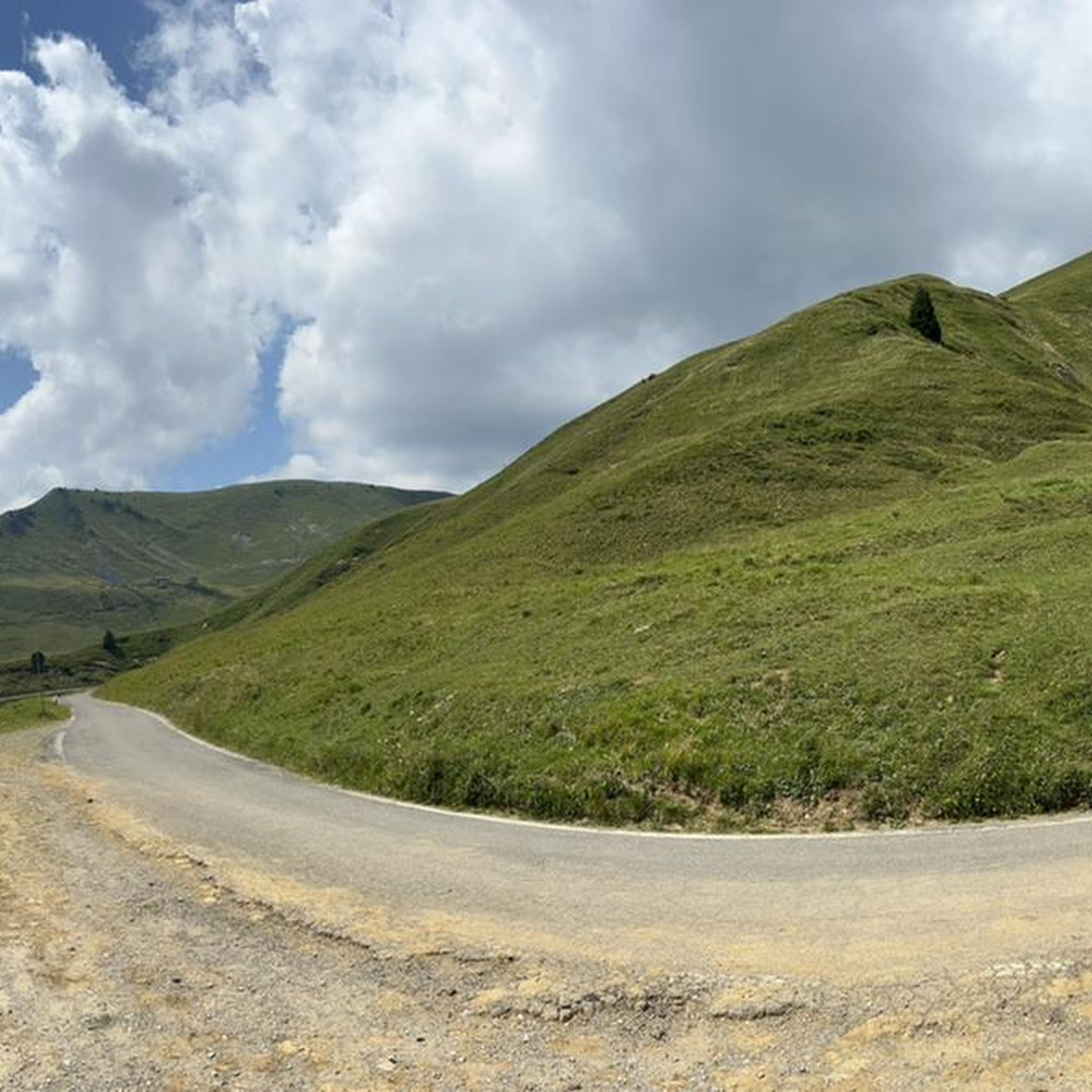
MTB Trails around Bienno
Cycling around Bienno
Gravel biking around Bienno
Running Trails around Bienno

Mountain Hikes around Bienno


Tips from the Community

Summer excursion through enchanting valleys, worth it.
0
0

The Val Grigna regional forest is a special protection area, as within it there are habitats of great naturalistic value, including raised peat bogs. Walking inside means crossing the typical landscape of the medium and high mountains, with coniferous forests alternating with mountain pastures and pastures.
3
0

The top of Monte Stabio, clearly visible from the Porta di Stabio, can be reached by climbing with a difference in altitude of around 30m on small rocks. This section, although short, requires a lot of attention and can be classified as EEA
0
0

The Ponte di Legno over the Travignolo stream enchants with its natural elegance. This little wooden jewel is a mountain bridge that blends perfectly with its surroundings. Its solid structure conveys safety, offering a peaceful and fascinating crossing.
0
0
The Ponte di Fontanazzo stands at an altitude of 1,460 meters along the path that connects the picturesque village of Breno to the splendid Bazena basin, where the Tassara refuge is located, the starting point for numerous exciting excursions and bike rides. Crossing it, you will enjoy the wild beauty of the surroundings and you will be able to admire breathtaking views.
0
0

The Ponte di Fontanazzo is located at an altitude of 1,460 meters on the path that connects the town of Breno to the Bazena basin where the Tassara refuge is located, the starting point for many excursions.
2
0
Frequently Asked Questions
How many hiking trails are available around Bienno?
Bienno and the surrounding Valle Camonica offer a wide variety of hiking opportunities, with over 70 routes recorded on komoot. These trails cater to different preferences, ranging from easy strolls to challenging mountain treks.
Are there easy or family-friendly hiking options in Bienno?
Yes, Bienno has several accessible paths suitable for families and beginners. There are 12 easy routes available, often winding through cultivated fields and forests. The "Life Path" in Cerreto, with its 16 equipped stations, offers an active and engaging experience for all ages amidst nature.
What kind of natural attractions can I expect to see on the trails?
The trails around Bienno are rich in natural beauty. You can discover picturesque alpine lakes like Lova Lake and Laghetto della Sorba, or explore significant mountain passes such as Campelli Pass and Passo Crocedomini, which offer stunning views. The Cerreto Mountain woods also feature diverse flora and fauna.
Are there any unique landmarks or points of interest along the hiking routes?
Absolutely. Hikers can explore unique attractions like the "Land Art" installations in the Quercus Woods, including the famous "Rocco, the giant owl." A hike up to Maddalena Hill leads to the impressive 8-meter golden statue of Christ the King, offering panoramic views of Bienno and Valle Camonica. You might also encounter the peaceful Tita Secchi Hut or the historic "Preda de l'altar" granite boulder on Cerreto Mountain.
Can I find circular hiking routes in the Bienno area?
Yes, many trails in the Bienno area are designed as circular routes, allowing you to start and end at the same point. While specific circular routes are not detailed here, the diverse network of paths, including those around lakes and through mountain passes, offers ample opportunities to plan round trips.
What is the best time of year for hiking around Bienno?
The warmer months, from late spring to early autumn, are generally ideal for hiking in Bienno, offering pleasant temperatures and full access to higher altitude trails. Summer is perfect for picnics at Crocedomini Pass. However, the region also offers winter activities like bobsledding and skiing at Crocedomini Pass, and ski mountaineering around Campelli Pass, making it a year-round destination for outdoor enthusiasts.
Are there any challenging multi-day treks or long-distance routes?
For experienced hikers seeking a challenge, Bienno is a gateway to demanding alpine routes. An example is the Adamello High Trail: Stage 1 (Breno to Bazena), a difficult 13.0-mile path traversing alpine terrain with expansive mountain views. Another challenging option is the Via dei Silter to Campolungo Superiore (CAI 780).
What do other hikers say about the trails in Bienno?
The hiking trails in Bienno are highly regarded by the komoot community, with an average rating of 4.4 stars from over 250 reviews. Hikers frequently praise the stunning alpine views, the diverse landscapes ranging from forests to mountain passes, and the peaceful escape the Valle Camonica offers from crowded tourist spots.
Are there less crowded hiking options for a more tranquil experience?
Yes, the Valle Camonica, where Bienno is situated, is known for offering a peaceful escape. While popular routes exist, many trails, especially those leading to more remote alpine lakes like Bruffione Lakes or through less frequented sections of the Cerreto Mountain woods, can provide a tranquil hiking experience away from the crowds.
What are some of the longer day hikes available?
For those looking for longer day hikes, the Monte Stabio and Laghetto della Sorba Trail is a 10.7-mile route with significant elevation gain, typically taking over 6 hours. Another substantial option is the Ferruccio Lorenzini Green Flames Brigade Trail, which covers over 10 miles and offers a challenging experience.
Is there public transport or parking available near trailheads?
Bienno is well-connected within Valle Camonica. While specific parking details for every trailhead are not listed, the town serves as an ideal base, and many trailheads are accessible by car with parking available. For information on reaching Bienno itself, you can consult local public transport schedules.
Can I find trails that offer spectacular panoramic views?
Many trails around Bienno offer breathtaking panoramic views. The Campelli Pass, at 1,889 meters, provides spectacular vistas of the Scalve and Camonica valleys. Hikes up to Maddalena Hill also reward with lovely views of Bienno and the entire Valle Camonica. The alpine trails consistently deliver dramatic mountain scenery and wild meadows.
Most popular routes around Bienno
Most popular attractions around Bienno

Get inspired with the komoot mobile app


Explore more
Browse the best Hikes in other regions.
