The best running trails around Ono San Pietro
4.5
(12)
1,344
runners
112
runs
Jogging routes around Ono San Pietro are primarily found within the Val Camonica, a region characterized by its mountainous terrain, deep valleys, and extensive forests. The landscape features significant elevation changes, with routes often traversing mountain passes and offering views of the surrounding peaks. Runners can expect a mix of forest paths, open mountain trails, and routes that follow the natural contours of the valley.
Best jogging routes around Ono San Pietro
- The most popular jogging route is De Marie…
Last updated: July 5, 2026
16
runners
8.78km
00:58
200m
200m
Moderate run. Good fitness required. Mostly paved surfaces. Suitable for all skill levels.
17
runners
17.0km
01:50
220m
220m
Hard run. Very good fitness required. Mostly paved surfaces. Suitable for all skill levels.

Sign up for free
5.0
(2)
14
runners
Hard run. Very good fitness required. Mostly paved surfaces. Suitable for all skill levels.
3.0
(1)
13
runners
19.7km
03:10
1,210m
1,210m
Hard run. Very good fitness required. Mostly paved surfaces. Suitable for all skill levels.
8
runners
29.5km
04:39
1,740m
1,740m
Hard run. Very good fitness required. Sure-footedness, sturdy shoes and alpine experience required.
Get access to more routes and recommendations from other explorers.
Sign up for free
Already have an account?
Our route recommendations are based on thousands of hikes, rides, and runs completed by other people on komoot.
Start today with a free account
Your next adventure awaits.
Login or Signup

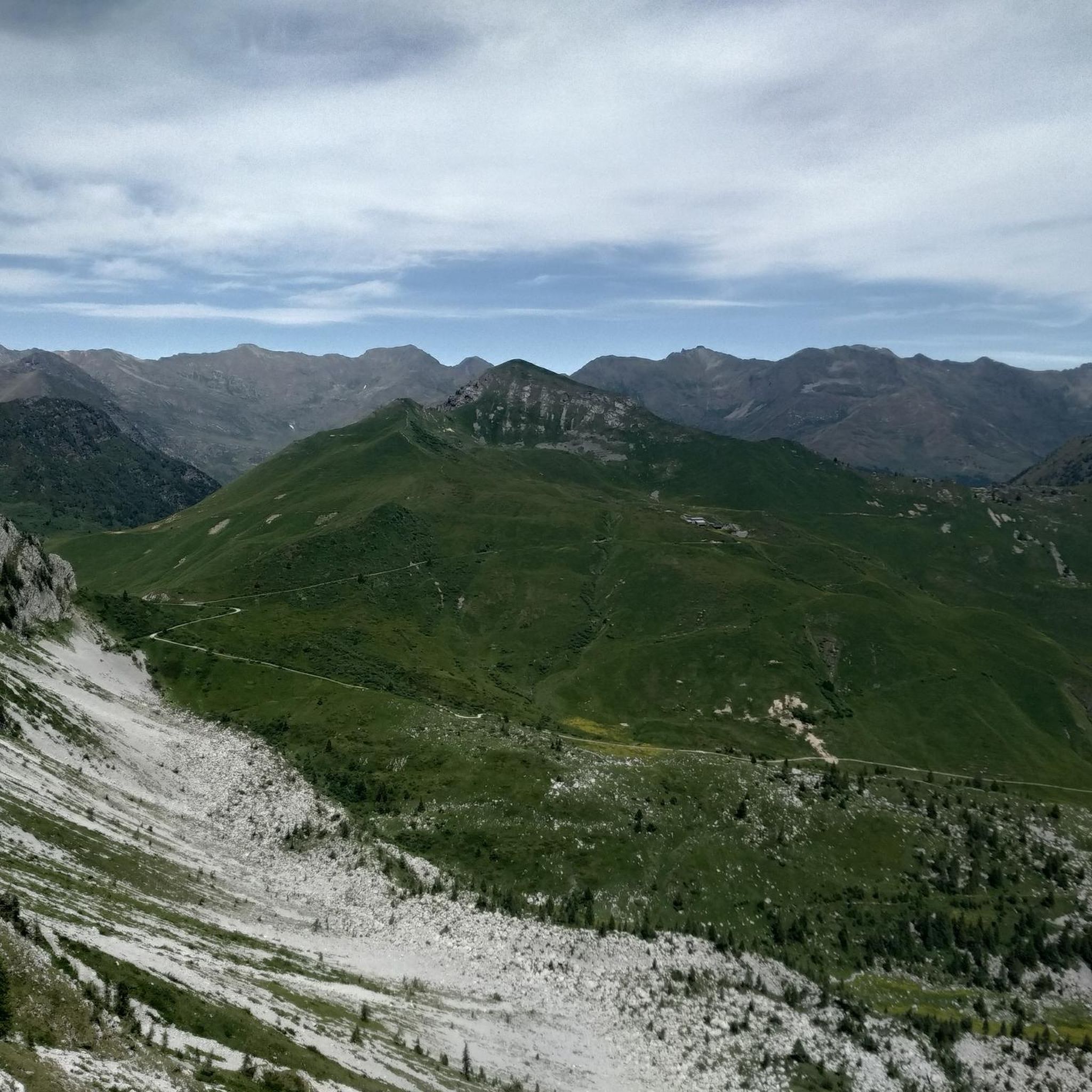
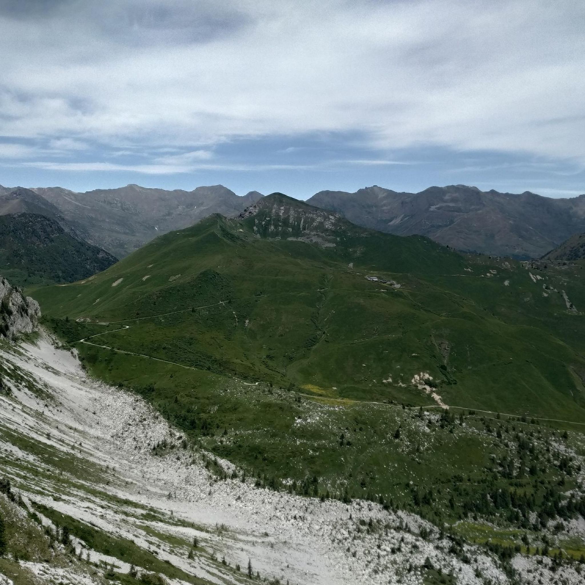
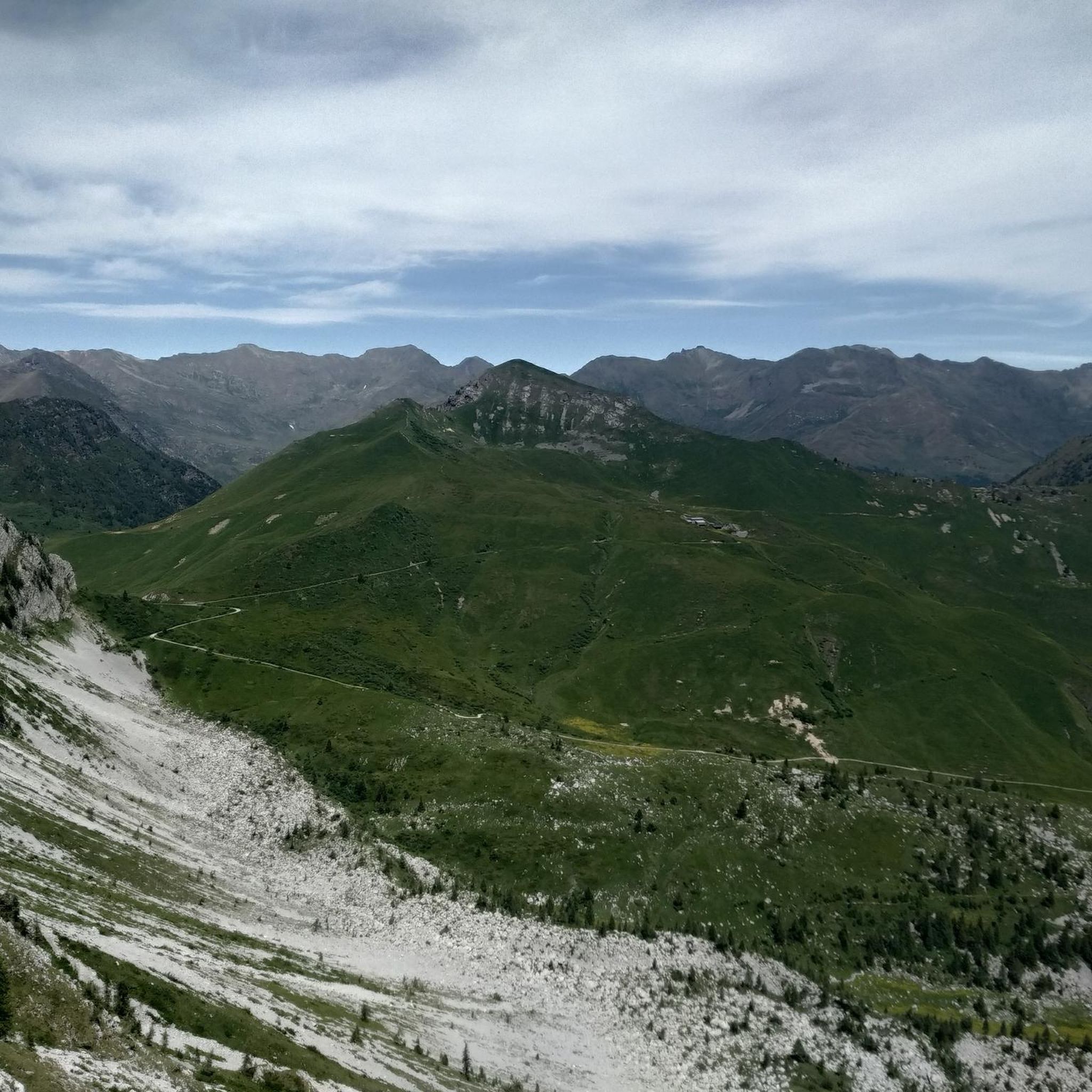
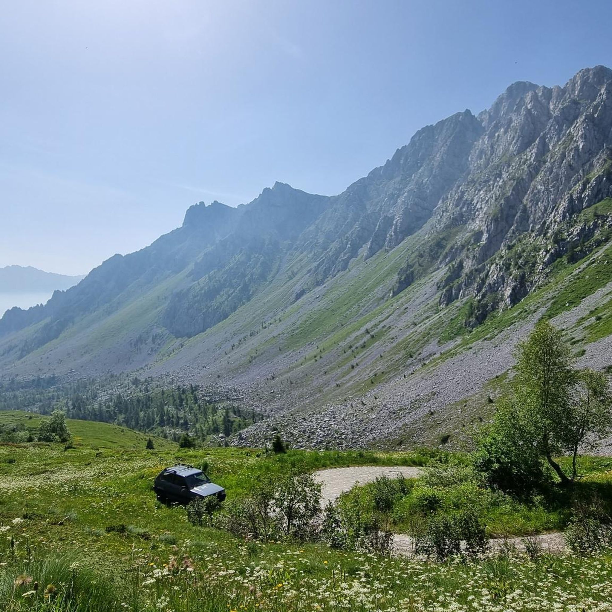


Other adventures around Ono San Pietro

Tips from the Community

The Campelli Pass is an Alpine pass at approximately 1,892 meters above sea level that connects the Scalve Valley (province of Bergamo) with the Camonica Valley (province of Brescia). It is a popular hiking destination for its scenic beauty and the variety of available itineraries. 🏔️ Main Features Location: Between Schilpario (BG) and Cerveno (BS) Elevation: approximately 1,892 m View: Spectacular view of Cimon della Bagozza and the Piccole Dolomiti Scalvine Access: From Schilpario – Fondi: winter route for snowshoeing or ski mountaineering From Schilpario – Baracca Rossa: shorter and more scenic summer route From Ono San Pietro (BS): longer and more challenging route 🚶♂️ Recommended Activities Summer Hiking: Well-marked trails, also suitable for families Winter Snowshoeing: Safe and picturesque itineraries in the snow Mountain Biking: Technical and scenic routes, with stops at the Campione Refuge and Campelli Lake 📍 Nearby Points of Interest Campione Refuge: Not far from the pass, offers refreshments and overnight accommodations Campelli Lake Campelli: a small Alpine lake, ideal for a break Madonnina dei Campelli: a panoramic and spiritual point along the route
0
0

Splendid view of Cimon Bagozza, Scalve Valley and Valcamonica
0
2

The refuge is located at 1940m, on the border between Val Camonica and Val di Scalve. Amazing cuisine with typical dishes and homemade desserts.
0
0

The refuge, built in the 1930s, is located at the base of the Volano basin, a splendid plateau enclosed like an amphitheater between the Colombè crests, the Badile Camuno peak and the Tredenus peaks.
0
0


The Capre bridge allows you to cross the Clegna, a stream that originates at the foot of Mount Garzeto, in the Orobie Alps, runs through the Clegna valley and flows from the right into the Oglio at Capo di Ponte. In the locality of Poma, not far away, there is a group of characteristic huts. The Alta Via delle Orobie Orientali passes through here.
1
0
Losine (Lúden in Camunian dialect) is a small and characteristic municipality of 584 inhabitants, whose name could derive from the Etruscan name "Lùsina", or from the pre-Roman term "loce" (steep coast cultivated with grass), but also from " lossa" (landslide). Other etymology scholars however believe that the name derives from "Lözene", the ancient Latin name of "Veratro", a characteristic plant of high mountain meadows. Losine is located in the Camonica valley at the foot of the Concarena and on the banks of the Oglio river. It is crossed by the Poia stream.
1
0
The climb from Ono San Pietro is really steep, it is ideal to tackle it with an EMTB. Going up instead from Val di Scalve, the climb is more manageable. Place that deserves to be visited.
0
0
Frequently Asked Questions
How many running routes are available around Ono San Pietro?
There are over 70 running routes around Ono San Pietro, offering a wide range of options for different skill levels and preferences. The komoot community has explored these trails over 1,200 times.
Are there any easy running routes suitable for beginners in Ono San Pietro?
Yes, Ono San Pietro offers a few easier running paths. You can find about 3 routes classified as easy, which are generally shorter and have less elevation gain, making them ideal for beginners or a relaxed run.
What are some good long-distance running trails in the area?
For those seeking a challenge, Ono San Pietro has several difficult long-distance trails. The Passo Campelli loop from Capo di Ponte is a demanding 18.3-mile (29.5 km) route through mountain passes and alpine forests, typically taking over 4 hours to complete.
Are there any circular running routes around Ono San Pietro?
Many of the running routes in Ono San Pietro are circular, allowing you to start and finish at the same point. For example, the Running loop from Cerveno offers a moderate 3.8-mile (6.1 km) circular path.
What kind of views or landmarks can I expect along the running trails?
The routes often provide expansive views of the Val Camonica, surrounding peaks, and alpine landscapes. You might encounter various mountain passes like Campelli Pass or Vivione Pass, and even pass by mountain huts such as Campione Hut, offering picturesque spots to pause and enjoy the scenery.
Is Ono San Pietro suitable for family-friendly jogging?
While many routes involve significant elevation, there are easier options that families might enjoy. Look for the routes classified as 'easy' or 'moderate' which tend to be shorter and less strenuous, often found along valley paths rather than high mountain trails.
Can I bring my dog on the running trails in Ono San Pietro?
Generally, dogs are welcome on trails in the Val Camonica region. However, it's always best to keep your dog on a leash, especially in areas with livestock or wildlife, and ensure you carry enough water for both of you. Check local regulations for specific trails if you have concerns.
What is the best time of year for running in Ono San Pietro?
The best time for running in Ono San Pietro is typically from late spring to early autumn (May to October). During these months, the weather is generally milder, and higher mountain trails are more likely to be free of snow. Summer offers warmer temperatures, while spring and autumn provide pleasant conditions and beautiful foliage.
Are there any running routes that are less frequented, offering a 'hidden gem' experience?
While popular routes like the Dosso Isiga loop from Ceto - Cerveno are well-loved, exploring some of the moderate trails that venture into less prominent valleys or connect smaller villages might offer a more secluded experience. These often provide a blend of forest paths and open views without the crowds.
What do other runners enjoy most about jogging in Ono San Pietro?
The komoot community highly rates the running experiences in Ono San Pietro, with an average score of 4.4 stars. Runners often praise the challenging mountain terrain, the rewarding panoramic views from higher elevations, and the diverse landscape that includes both forested slopes and open valley paths.
Are there any cafes or refreshment points along the running routes?
While many routes are in natural, undeveloped areas, some trails pass near or through villages like Capo di Ponte or Cerveno where you can find local cafes or shops. Additionally, some mountain huts, such as Colombé Hut, may offer refreshments during their operating seasons.
What are the parking options for accessing running trails in Ono San Pietro?
Parking is generally available in the villages that serve as starting points for many routes, such as Capo di Ponte, Cerveno, or Cimbergo. Look for designated public parking areas within these communities. For more remote trailheads, roadside parking might be an option, but always ensure you are not obstructing traffic or private access.
How accessible are the running routes by public transport?
Public transport access in mountainous regions like Val Camonica can be limited. While some villages are served by local bus lines or regional trains, direct access to all trailheads might require a car. It's advisable to check local bus schedules for the specific starting point of your chosen route.
Most popular routes around Ono San Pietro
Most popular attractions around Ono San Pietro

Get inspired with the komoot mobile app


Explore more
Browse the best Running Trails & Routes in other regions.
