The best road cycling routes around Monte Cremasco
4.1
(421)
6,131
riders
122
rides
Road cycling around Monte Cremasco offers routes through the flat Lombardy plain, characterized by extensive rural landscapes. The terrain features cultivated fields and rows of poplars, providing a serene environment for cycling. The region also includes the Vacchelli Canal, a notable historical feature that contributes to the area's natural appeal. This environment is conducive to accessible road cycling.
Best road cycling routes around Monte Cremasco
- The most popular road cycling route is Adda and Muzza Trail – Monte Cremasco Gate…
Last updated: June 29, 2026
27
riders
Easy road ride. Great for any fitness level. Mostly well-paved surfaces and easy to ride.
3.5
(4)
27
riders
51.1km
02:03
110m
110m
Moderate road ride. Good fitness required. Mostly well-paved surfaces and easy to ride.

Sign up for free
3.3
(4)
19
riders
Easy road ride. Great for any fitness level. Mostly well-paved surfaces and easy to ride.
29
riders
Easy road ride. Great for any fitness level. Mostly well-paved surfaces and easy to ride.
9
riders
60.1km
02:34
130m
130m
Moderate road ride. Good fitness required. Some segments of this route may be unpaved and difficult to ride.
Get access to more routes and recommendations from other explorers.
Sign up for free
Already have an account?
Our route recommendations are based on thousands of hikes, rides, and runs completed by other people on komoot.
Start today with a free account
Your next adventure awaits.
Login or Signup

Tips from the Community

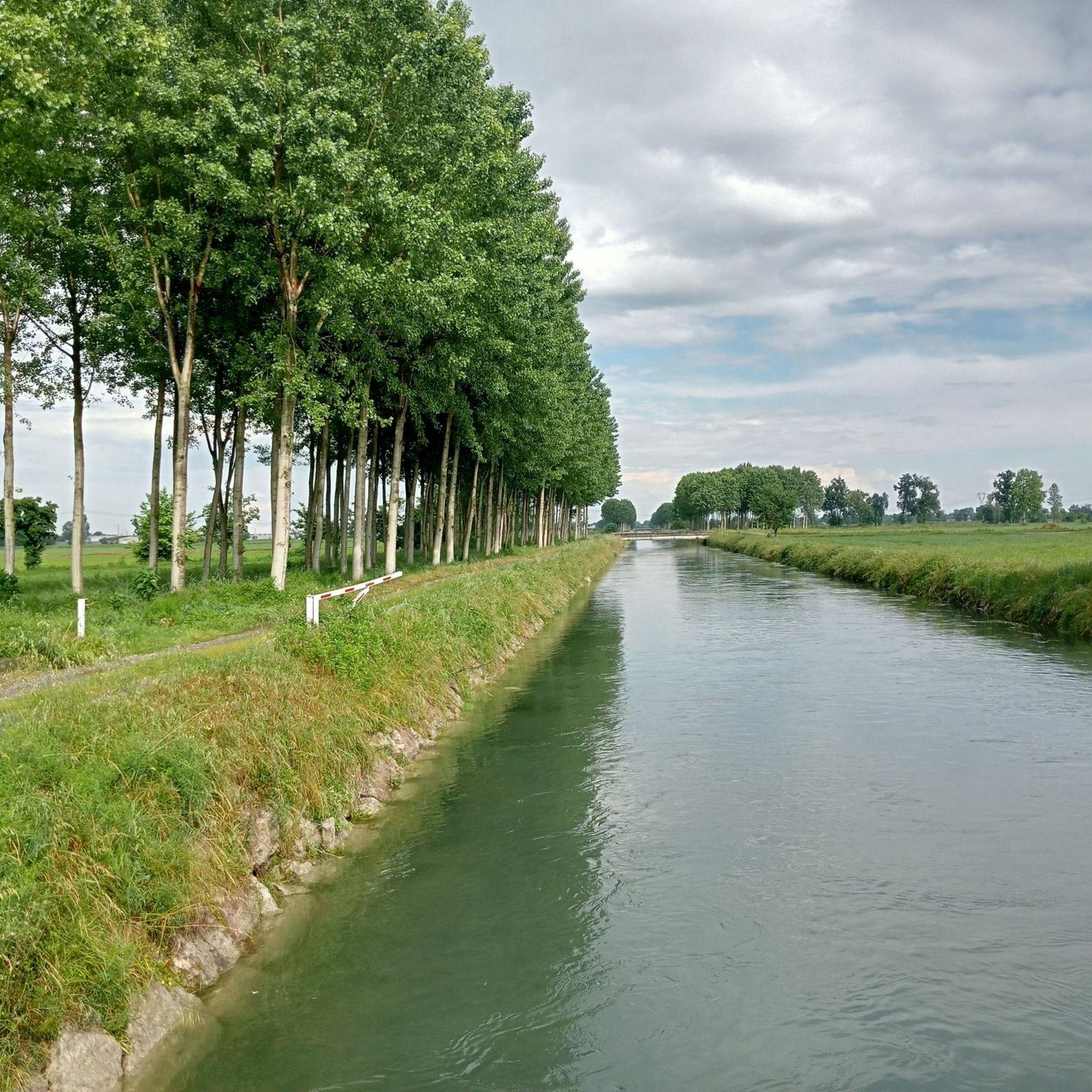
The Muzza Canal is one of the most important and oldest hydraulic engineering works in Europe. It is a large artificial branch of the Adda river that crosses the Lombard plain. For centuries, it has represented the main resource for irrigating the lands of the province of Lodi and southern Milan. It originates in Cassano d'Adda (Milan), drawing water directly from the Adda near the Visconti castle. It ends its course after about 39-40 kilometers (over 60 km considering the entire main network), rejoining the Adda at Castiglione d'Adda (Lodi).
0
0

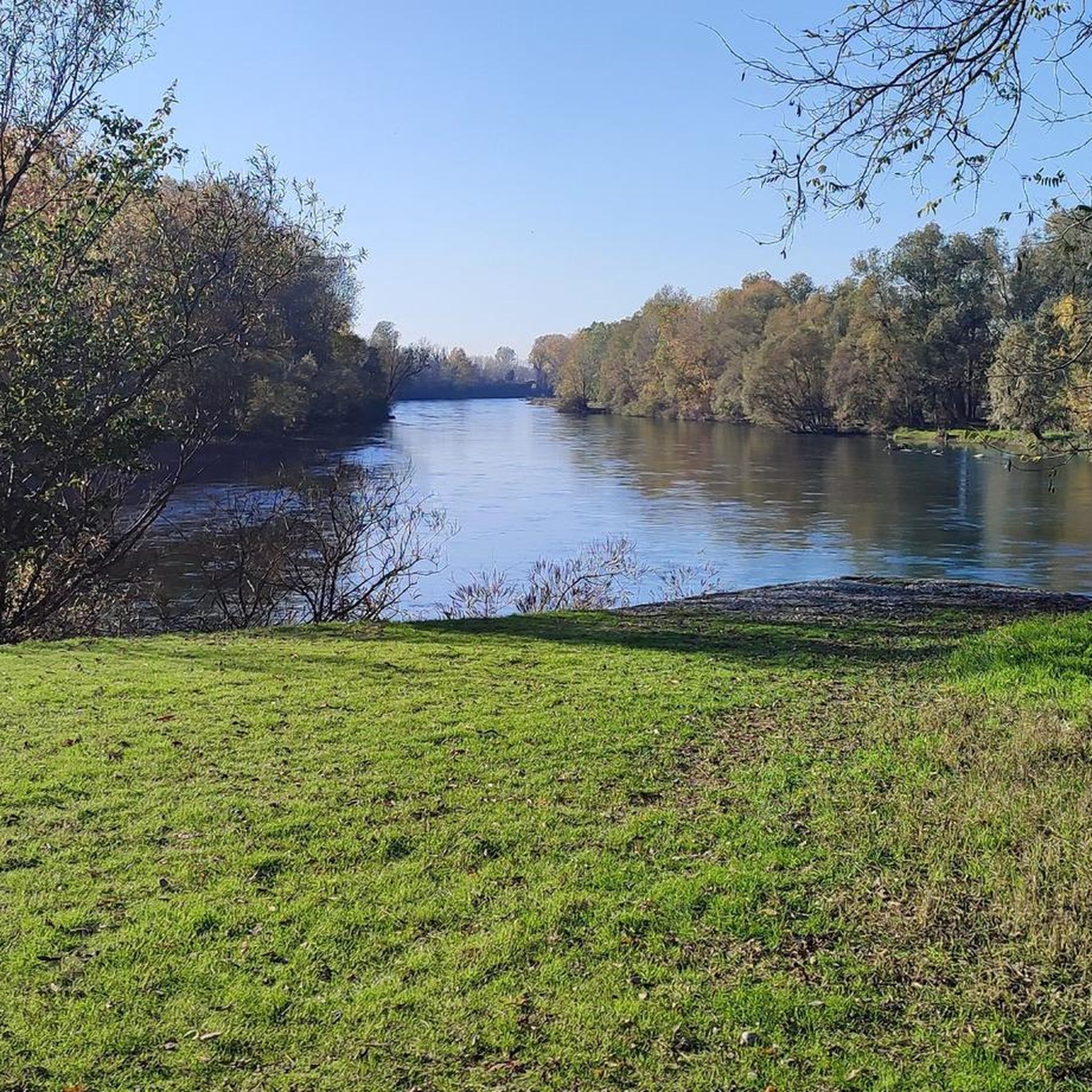
The Adda River is the fourth longest watercourse in Italy with its 313 kilometers and is entirely contained within the Lombardy region. It represents one of the main left tributaries of the Po River and has a very large hydrographic basin that covers about a third of the regional territory.
0
0
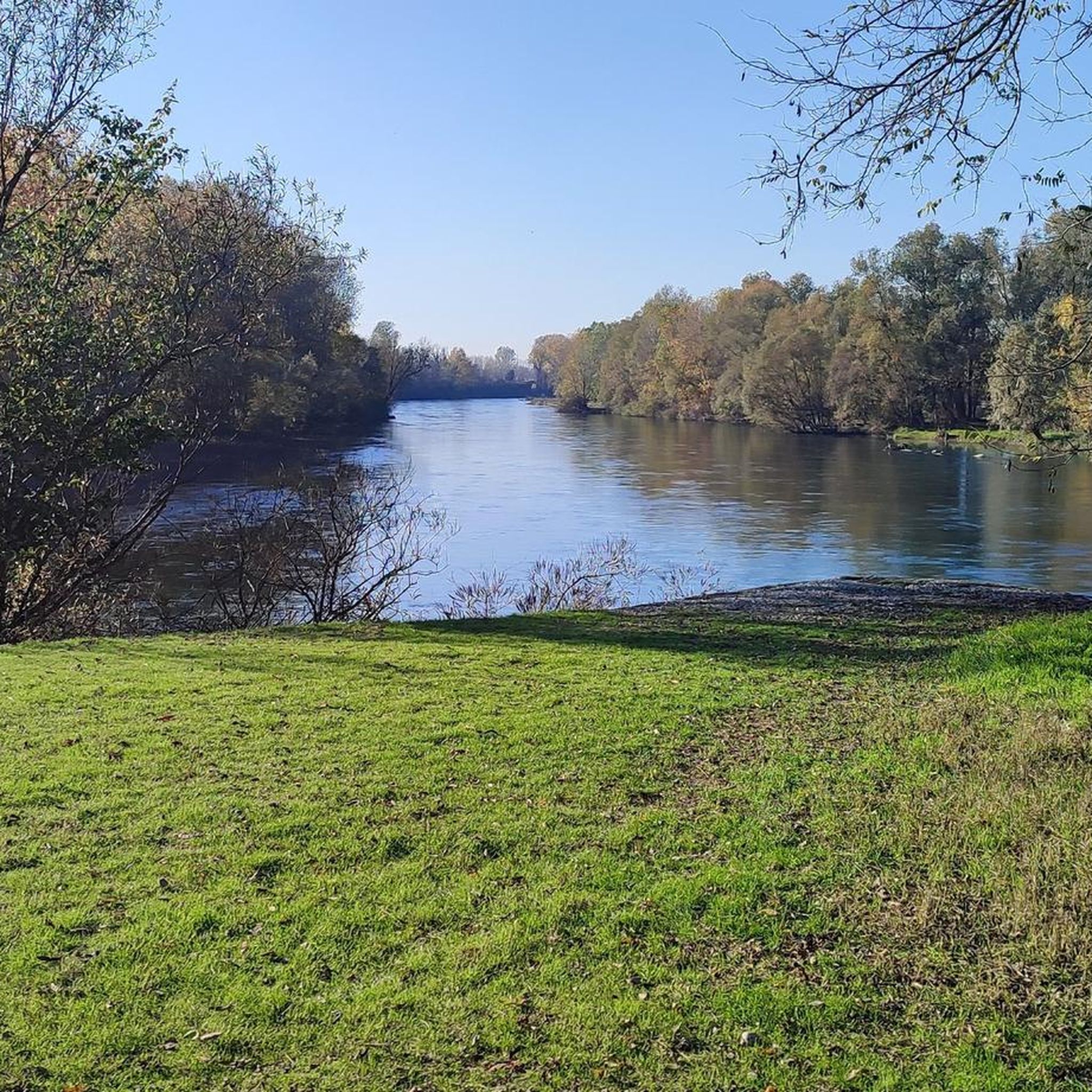
The Adda River is the fourth longest watercourse in Italy with its 313 kilometers and is entirely contained within the Lombardy region. It represents one of the main left tributaries of the Po River and has a very large hydrographic basin that covers about a third of the regional territory.
0
0

the windmills are always very characteristic
0
0
The Tavazzano and Montanaso thermoelectric power plant covers an area of 79 hectares in the Municipalities of Montanaso Lombardo and Tavazzano con Villavesco, in the province of Lodi, 25 km from Milan. The plant has an installed capacity of 1,970 MW and consists of three combined cycle units. The plant is close to important electricity consumption centers.
0
0
Santuario di Santa Maria del Fonte is a magnificent monumental complex, situated at the end of a long tree-lined avenue that begins with the arch of Porta Nuova, close to the historic center of the city. Its origin dates back to the famous episode of the Apparition: on May 26, 1432, the peasant woman Giannetta de Vacchi was in the Mazzolengo meadow, near the village of Caravaggio, when she witnessed the appearance of a woman whom, by her majesty and beauty, she immediately recognized as the Virgin Mary. As a testament to the event, a new spring gushed forth in the field, whose waters were capable of healing ailments. In the immediately following centuries, a place of worship was built to remain in eternal memory of the event: this building later became the current Basilica of the Sanctuary of Caravaggio.
0
0
The Muzza Canal is the oldest in Europe and this year, its 800th anniversary was celebrated by the Municipality of Paullo in collaboration with the Pro Loco and other Municipalities. Its origin dates back to the year 1220, when Frederick II of Swabia, crowned emperor of the Holy Roman Empire, issued an imperial edict that granted the people of Lodi the right to use the waters flowing through their territory. The current route, about 60 km long, receives the waters of the Adda at Cassano d’Adda, at an altitude of 120 m above sea level, crosses the Lodi territory for about 40 km up to near Castiglione d’Adda, at an altitude of 45 m above sea level, and here it releases them back into the Adda. It has a regulated water regime, with a flow rate, depending on the seasons, of about 200,000 liters of water per second; an initial width of 50 meters which reduces to a few meters at the end of its course and an average depth of 2 meters.
1
0

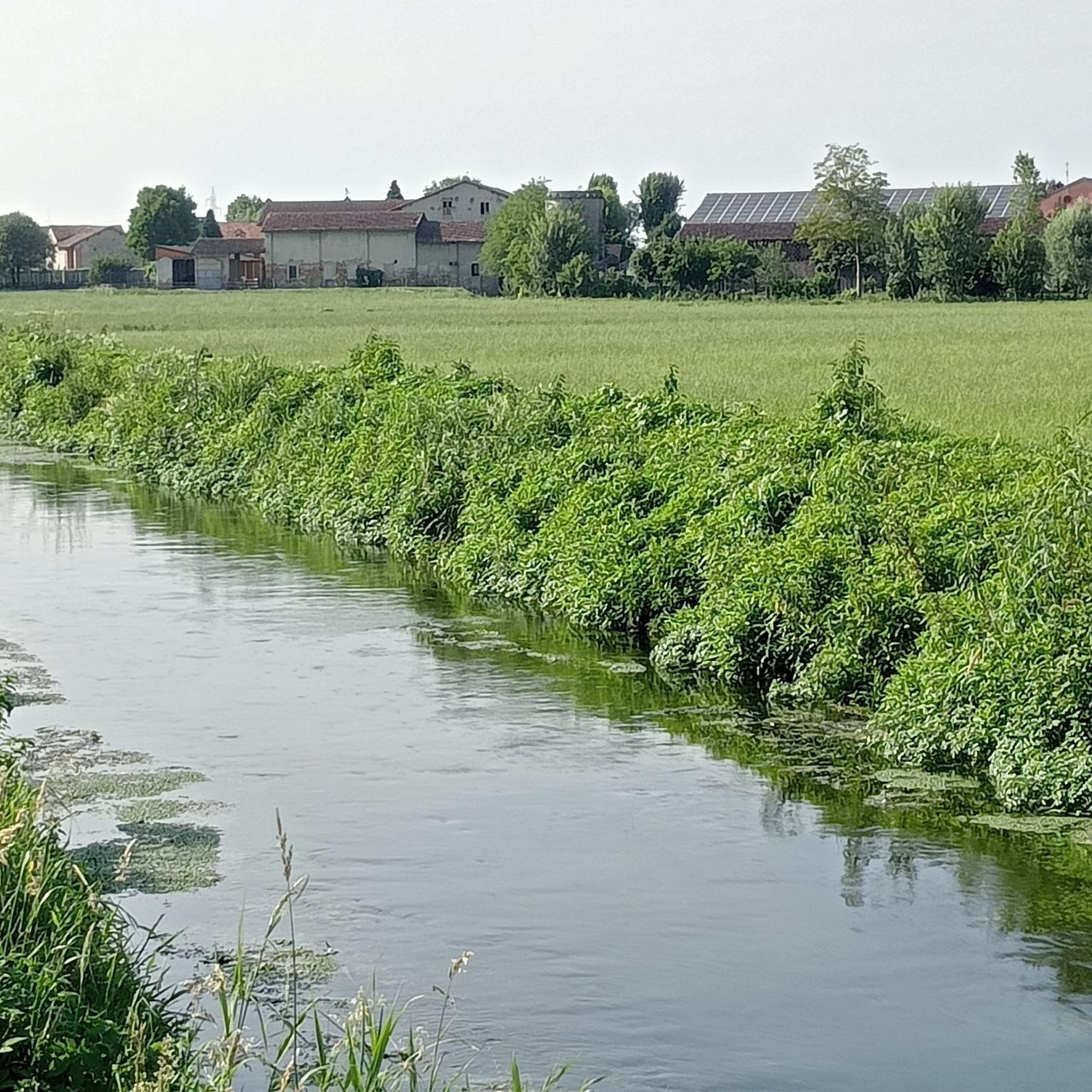
A suggestive glimpse of the wheel of a watermill, visible from the small bridge over the Acqua Rossa canal.
0
0
Frequently Asked Questions
How many road cycling routes are available around Monte Cremasco?
There are over 115 road cycling routes around Monte Cremasco, offering a wide variety of options for different skill levels and preferences.
Are there road cycling routes suitable for beginners in Monte Cremasco?
Yes, Monte Cremasco offers a good selection of routes for beginners. There are 45 easy road cycling routes, such as the Pandino Castle – Cascine Capri loop from Palazzo Pignano, which is 15.0 miles (24.2 km) long and features gentle terrain.
What kind of scenery can I expect on road cycling routes around Monte Cremasco?
Road cycling routes around Monte Cremasco are characterized by tranquil rural landscapes, extensive cultivated fields, and rows of poplars. You'll experience the peaceful Lombardy plain, with routes often following historical features like the Vacchelli Canal.
Are there any historical landmarks or points of interest along the road cycling routes?
Yes, several routes pass by interesting landmarks. For instance, the Pandino Castle – Cascine Capri loop from Palazzo Pignano takes you past the historic Castello Visconteo di Pandino. You can also explore highlights like the Vacchelli Canal entrance or the Old Adda River Bridge.
Can I find circular road cycling routes in Monte Cremasco?
Many of the road cycling routes in Monte Cremasco are designed as loops, allowing you to start and end in the same location. Examples include the Adda and Muzza Trail – Monte Cremasco Gate loop from Dovera and the Canale Muzza – Marzano Circuit loop from Palazzo Pignano.
What is the best time of year for road biking in Monte Cremasco?
The Lombardy plain offers pleasant conditions for road cycling for much of the year. Spring and autumn generally provide the most comfortable temperatures and beautiful scenery, though summer can also be enjoyable, especially during cooler parts of the day. Winter cycling is possible, but be prepared for colder temperatures.
Are there challenging road cycling routes for experienced cyclists near Monte Cremasco?
While the region is largely flat, there are routes that offer a moderate challenge. There is one difficult route and 70 moderate routes available. These routes often cover longer distances, such as the Sanctuary of Caravaggio – Cascine Capri loop from Palazzo Pignano, which is 45.6 km long.
What do other road cyclists enjoy most about road cycling in Monte Cremasco?
The area is highly rated by the komoot community, with an average score of 4.2 stars from over 300 reviews. Reviewers often praise the serene rural landscapes, the well-maintained paths along canals like the Vacchelli Canal, and the accessibility of the routes for various skill levels.
Are there any routes that pass by the Vacchelli Canal?
Yes, the Vacchelli Canal is a prominent feature in the region. While specific road cycling routes might not run directly alongside its dirt path (which is more suited for gravel bikes), many routes traverse the Moso Agricultural Park area where the canal flows, offering views and proximity to this historical waterway. You can also visit the Vacchelli Canal entrance as a highlight.
Are there any road cycling routes suitable for families with children?
Given the predominantly flat terrain and the availability of many easy routes, Monte Cremasco is generally family-friendly for road cycling. Routes like the Pandino Castle – Cascine Capri loop from Palazzo Pignano are shorter and have minimal elevation, making them suitable for families.
What is the typical duration for road cycling routes in Monte Cremasco?
Route durations vary depending on length and your pace. Easy routes like the Chiesa di Scannabue – Sanctuary of Caravaggio loop from Vaiano Cremasco can take around 1 hour 25 minutes, while longer moderate routes such as the Canale Muzza – Marzano Circuit loop from Palazzo Pignano typically take about 2 hours.
Most popular routes around Monte Cremasco
Most popular attractions around Monte Cremasco

Get inspired with the komoot mobile app


Explore more
Browse the best Road cycling routes in other regions.
