The 20 Most Amazing Peaks around Castione Della Presolana
Best mountain peaks around Castione Della Presolana are found in the Bergamasque Alps, a region known for its diverse natural landscape. The area is dominated by the Presolana massif, a prominent limestone formation, and features other notable peaks like Pizzo Formico. Situated about 45 km from Bergamo, Castione Della Presolana serves as a hub for both summer and winter outdoor activities. The region offers a variety of trails and viewpoints, attracting visitors seeking mountain experiences.
Best mountain peaks around Castione…
Last updated: August 30, 2026
Summit of Pizzo Formico
Highlight • Summit
Translated by Google •
Tip by

Mount Colombina
Highlight • Summit
Translated by Google •
Tip by

Sign up now to discover places like this
Get recommendations on the best single tracks, peaks, & plenty of other exciting outdoor places.
Sign up for free
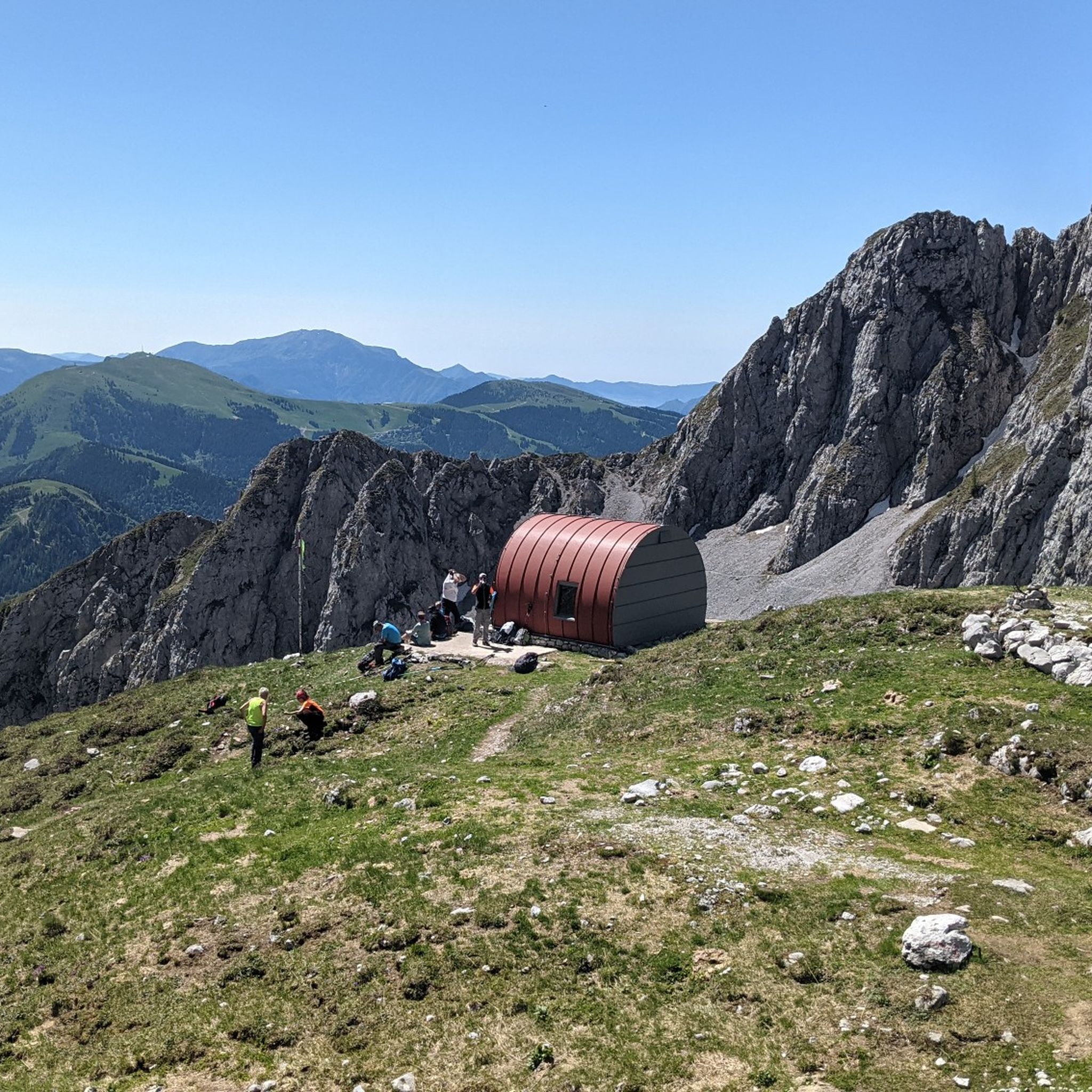
Città di Clusone bivouac
Highlight • Mountain Hut
Translated by Google •
Tip by

Savina Chapel
Highlight • Religious Site
Translated by Google •
Tip by
Mount Altissimo
Highlight • Summit
Showing Translation
Tip by

Sign up for free to discover even more peaks around Castione Della Presolana.
Sign up for free
Already have an account?
Start today with a free account
Your next adventure awaits.
Login or Signup
Popular around Castione Della Presolana

A stone's throw from Presolana – trekking in Italy’s Val Seriana
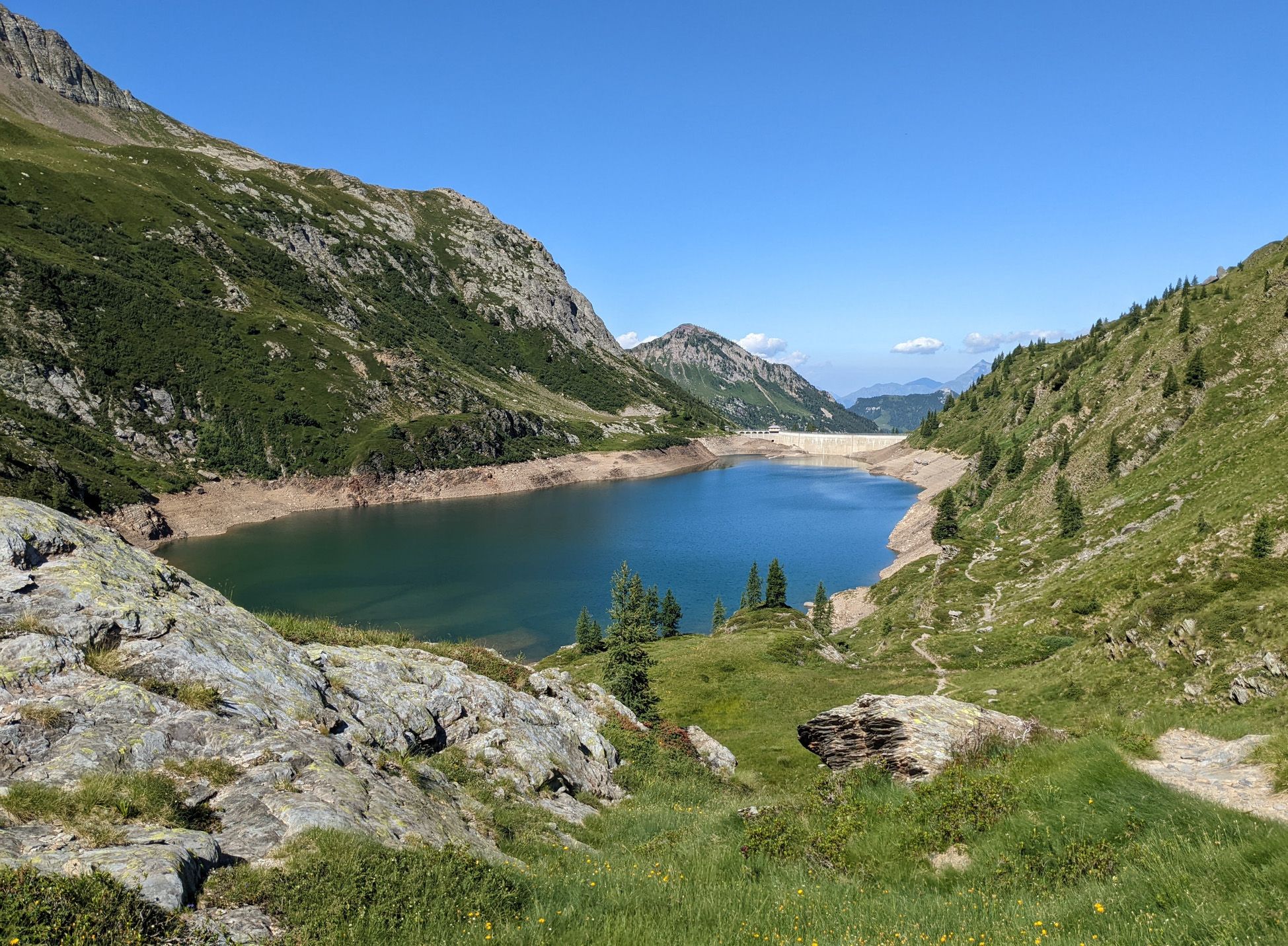
Walking on water – lakes, rivers and waterfalls in the Bergamo valleys
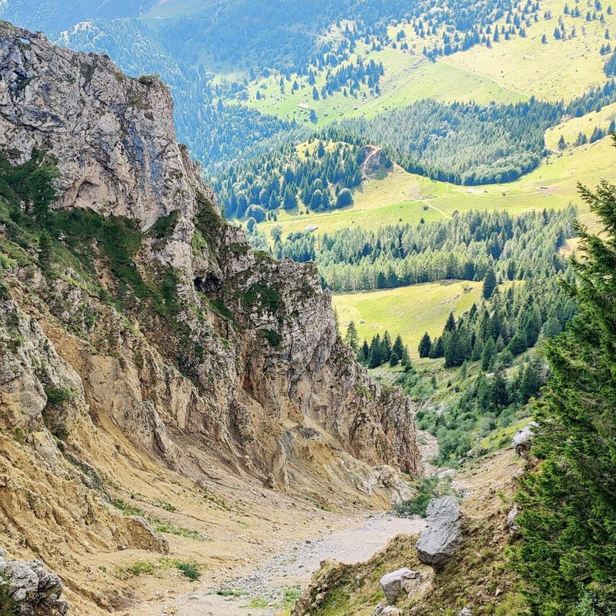
Hiking around Castione Della Presolana
Cycling around Castione Della Presolana
Gravel biking around Castione Della Presolana
Road Cycling Routes around Castione Della Presolana
MTB Trails around Castione Della Presolana
Running Trails around Castione Della Presolana

Mountain Hikes around Castione Della Presolana


Tips from the Community

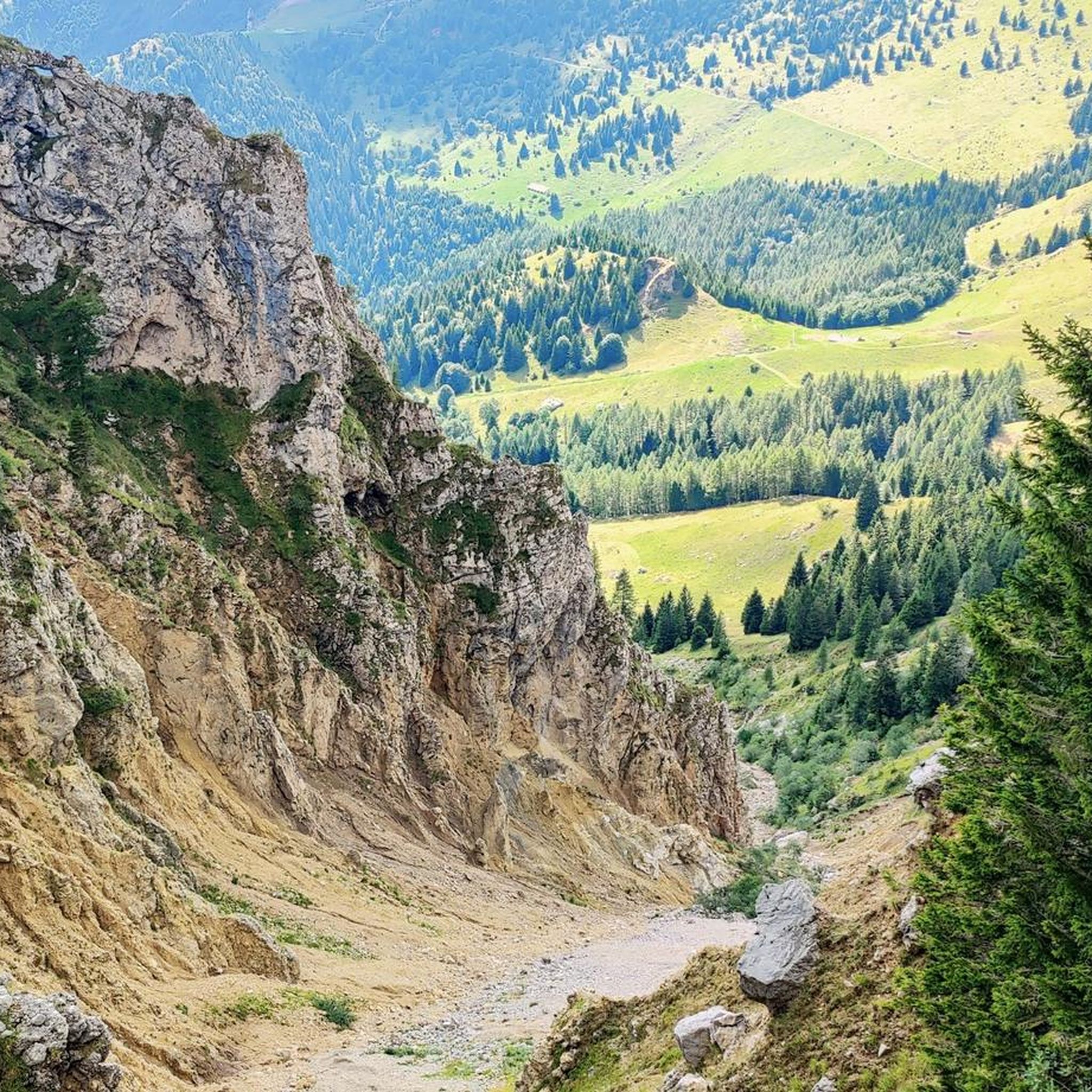
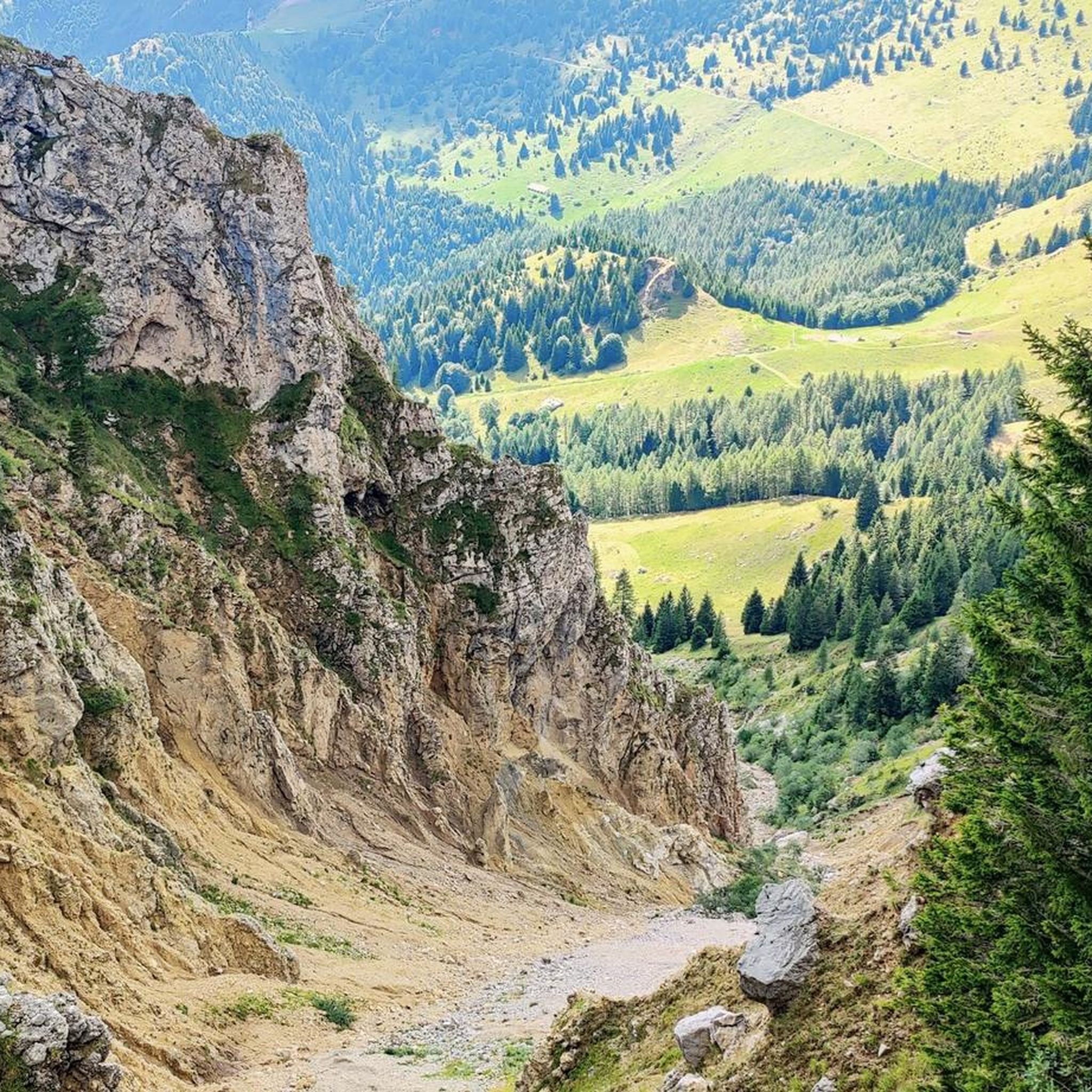
Mount Altissimo is a mountain in the Bergamo Prealps, 1703 m high, located between the lower Val Camonica and the lower Val di Scalve. It is the highest peak of the mountain group that separates these two valleys and overlooks the Borno plateau. Two very different slopes Southern slope: steep, rocky, almost devoid of vegetation, with a difference in altitude of about 1500 m from the Oglio valley floor. Northern slope: gentle slope towards Borno, covered with fir trees and dotted with mountain huts, chalets and ski slopes of the Borno Ski Area. 🚶♂️ Hiking — The main itineraries Mount Altissimo is very popular with hikers thanks to the good network of trails (difficulty E). Here are the best-known and documented routes. 1) From Erbanno – Trail 197 or 155 A steep and challenging itinerary, with a significant difference in altitude. Trail 197: Start: Erbanno (Darfo Boario Terme) Passes through: small church of San Valentino (690 m), Malga Mine, junction with trail 194 From the cross: spectacular view of the lower Val Camonica and Lake Iseo Summit reachable in 15 minutes from the final junction Trail 155 (more direct and strenuous): Difference in altitude: about 1460 m Steep sections, some chains on a slightly exposed traverse Remarkable panorama of the meadows of "Segable" Arrival at the Monte Altissimo refuge and the ski lifts 2) From Gorzone – Trail 154 A wilder route on the south side, with a long and tough climb. 3) From Borno – North slope (ski slope areas) A gentler and more panoramic itinerary, often chosen for loop tours that include refuges, mountain huts and small churches (as in your story). 🏞️ What makes Mount Altissimo special Sharp contrast between the two slopes: one severe and rocky, the other gentle and wooded. Wide panoramas of the lower Val Camonica, Lake Iseo and Presolana. Network of mountain huts and chalets still active in summer. Presence of the Monte Altissimo refuge at the summit, also reached by ski lifts. Possibility of varied loop tours, combining woods, slopes, ridges and small isolated churches.
0
0

Beautiful summit with rest area and great panorama
0
0

We walked up the ridge from the South (marked as potentially dangerous) and it was fine on a clear July day
0
0

Beautiful mountain from which to admire the beauty of Lake Iseo. Happy to have seen that the real top of the mountain is marked by Tibetan flags and that the cross is a little lower.
0
0
What a nice surprise to reach the summit of Colombina and find that the true summit is marked by these little flags and not by the classic cross.
0
0
From Pizzo Formico (1636 m) you can enjoy a spectacular view of the Bergamo Prealps, the Seriana Valley, the Gandino Valley and, on clear days, even Monviso. What you can see from the summit: Val Seriana and the Clusone plateau. Val Gandino, with its historic villages. Presolana, the "Queen of the Orobie". Lake Iseo, visible on clear days. Adamello Group, the Bergamo and Lecco Orobie. Po Valley, with glimpses of the Apennines. The summit cross, 12 meters high, is a point of reference for hikers and is illuminated on special occasions
1
0

Spectacular view of Lake Iseo. From Bossico, follow the numerous signs for Mount Colombina and travel along paved roads between meadows and pine forests. Worth it.
0
0
Frequently Asked Questions
What are some of the most rewarding mountain peaks to visit for panoramic views around Castione Della Presolana?
For exceptional panoramic views, consider the Summit of Pizzo Formico. Despite its modest elevation of 1,636 meters, it offers sweeping vistas from the Prealps to the Orobie Alps, with Val Seriana and Val Gandino stretching out below. Another excellent spot is Pizzo Corzene, which provides a beautiful panoramic point overlooking the Presolana massif and the valley.
Are there any challenging climbs or mountaineering opportunities in the Presolana massif?
Yes, the Presolana massif is a popular destination for mountaineers due to its challenging rocky terrain and numerous climbing routes. The Western Summit of the Presolana, reaching 2,521 meters, offers a demanding ascent. For such climbs, the use of a helmet is fundamental, especially on busy routes.
What kind of hiking trails can I find around Castione Della Presolana?
The region offers a wide array of hiking trails suitable for various skill levels. The 'Trekking of Presolana' project features Green and Red itineraries through historic villages, forests, and pastures. For experienced hikers, routes to the summit of Presolana, such as those leading past the Medici mountain hut (formerly Cassinelli hut), are recommended. You can find more detailed routes and their difficulties on the Mountain Hikes around Castione Della Presolana guide.
What is the best time of year to visit the mountain peaks in Castione Della Presolana?
Castione Della Presolana is a hub for both summer and winter tourism. In summer, the area is ideal for hiking and mountaineering, with well-maintained paths. In winter, the region experiences significant snowfall, making it pristine for ski touring, backcountry exploration, and cross-country skiing, particularly around Pizzo Formico. The dry and healthy climate makes it enjoyable year-round, depending on your preferred activities.
Are there any historical or cultural landmarks among the mountain peaks?
Yes, the Savina Chapel is a notable historical and religious landmark. Located at 2,085 meters above sea level, it serves as an important reference point for hikers and mountaineers in the Valle dell'Ombra and was built in memory of those who fell on the Presolana.
What facilities are available for hikers staying overnight in the mountains?
The Città di Clusone bivouac is a small, essential, but well-maintained hut located at 2,050 meters above sea level at the foot of the Presolana's south face. It offers five beds and is mostly for emergencies in case of bad weather, providing an extremely evocative setting for admiring sunsets and sunrises.
What kind of terrain characterizes the Presolana mountain range?
The Presolana massif is primarily characterized by its rocky terrain and unique limestone composition, similar to dolomite. This makes it a distinctive feature in Lombardy, offering varied landscapes from rugged climbing routes to more accessible hiking paths through forests and pastures.
Can I find family-friendly mountain walks around Castione Della Presolana?
Yes, the region around Castione Della Presolana is known for its family-friendly activities. While some peaks offer challenging climbs, there are also numerous hiking trails suitable for various skill levels, including gentler paths through forests and pastures, particularly around the Presolana Pass, which serves as an excellent starting point for exploration.
What outdoor activities, besides hiking, can I do near these mountain peaks?
Beyond hiking and mountaineering, the area is excellent for winter sports like ski touring, backcountry skiing, and cross-country skiing. For cycling enthusiasts, there are numerous routes for both mountain biking and road cycling. You can explore options like the MTB Trails around Castione Della Presolana or the Road Cycling Routes around Castione Della Presolana.
How accessible are the mountain peaks from Castione Della Presolana?
The region around Castione Della Presolana offers well-maintained paths, making it relatively easy to reach many refuges and peaks. The Presolana Pass, situated between the Seriana Valley and Scalve Valley, is a convenient starting point for exploring the diverse landscape. Pizzo Formico, for instance, can be climbed from both Gandino and Clusone, starting from the San Lucio Refuge.
What do visitors enjoy most about the mountain peaks around Castione Della Presolana?
Visitors consistently praise the breathtaking panoramic views, especially from spots like the Summit of Pizzo Formico and Pizzo Corzene. The challenging yet rewarding climbing and hiking opportunities, particularly on the Presolana massif, are also highly valued. The serene atmosphere of places like the Città di Clusone bivouac, offering stunning sunsets and sunrises, is frequently highlighted.
Most popular routes around Castione Della Presolana
Most popular attractions around Castione Della Presolana

Get inspired with the komoot mobile app


Explore more
See even more amazing summits around Castione Della Presolana with these guides:
