Top 13 Mountain Passes around Lovere
Best mountain passes around Lovere offer access to elevated points and panoramic views between Lake Iseo and the surrounding mountains. The region features a diverse landscape, including traditional road passes, elevated crossroads, and prominent mountain peaks. These areas provide opportunities for outdoor activities such as hiking and cycling. The terrain varies from accessible trails through chestnut woods to challenging routes with steep sections.
Best mountain passes around Lovere
- The most popular mountain passes is Presolana Pass, a mountain pass that features challenging climbs and spectacular views. This pass is known for its steep sections, reaching up to 14%, and has been featured in multiple Giro stages.
- Another must-see spot is Third Millennium Bell at Forcella Larga, a man-made monument and mountain pass. This location holds historical significance as a former base for partisans and offers a meeting point for mountaineers from different valleys.
- Visitors also love Colle di San Zeno, a mountain pass with scenic cycling routes. It can be traveled from both the west (Pisogne) and east (Pezzaze), offering varied road conditions and landscapes.
- Lovere is known for mountain passes, viewpoints, and historical sites. The area offers a variety of mountain passes to explore, ranging from challenging climbs for cyclists to trails with panoramic views for hikers.
- The mountain passes around Lovere are appreciated by the komoot community. The highlights in this guide feature 71 photos and have received 191 upvotes, indicating their popularity and appeal.
Last updated: June 26, 2026
Third Millennium Bell at Forcella Larga
Highlight • Monument
Translated by Google •
Tip by

Presolana Pass
Highlight • Mountain Pass
Translated by Google •
Tip by

Sign up now to discover places like this
Get recommendations on the best single tracks, peaks, & plenty of other exciting outdoor places.
Sign up for free
Colle di San Zeno Pass
Highlight • Mountain Pass
Translated by Google •
Tip by

Passo Spino
Highlight • Mountain Pass
It is a small wooded pass, not marked by structures or refuges.
It is located on the road/mule track that connects the two main passes in the area:
Croce di Marone
Forcella di Sale
It is a transit point for MTB riders and hikers who follow the “Malghe in rete” loop.
The section between Forcella di Sale and Passo Spino is predominantly downhill, with some short uphill sections.
🥾 Why it is important
Passo Spino is useful as a reference point if:
you are doing the Croce di Marone → Forcella di Sale → Noase → Sale Marasino loop
you are riding the panoramic mountain road that connects the two main passes of Sebino
you are climbing or descending by MTB along the “Malghe in rete” route
It is not a panoramic viewpoint like Croce di Pezzolo or the Almana ridge: it is more of a technical passage along the ridge.
🗺️ Quick summary
Forcella di Sale = pass at 1150 m, start of the Sentiero Benedetti
Passo Spino = immediately after, on the road that continues towards Noase
Croce di Marone = connected to both via the same mountain road
Showing Translation
Tip by

Forcella di Sale
Highlight • Mountain Pass
Translated by Google •
Tip by

Sign up for free to discover even more mountain passes around Lovere.
Sign up for free
Already have an account?
Start today with a free account
Your next adventure awaits.
Login or Signup
Popular around Lovere
In Val di Scalve – CamminaForeste in Lombardia part 4
Lakeside paradises and great climbs – seven rides between Lakes Garda and Iseo
Road Cycling Routes around Lovere
Hiking around Lovere
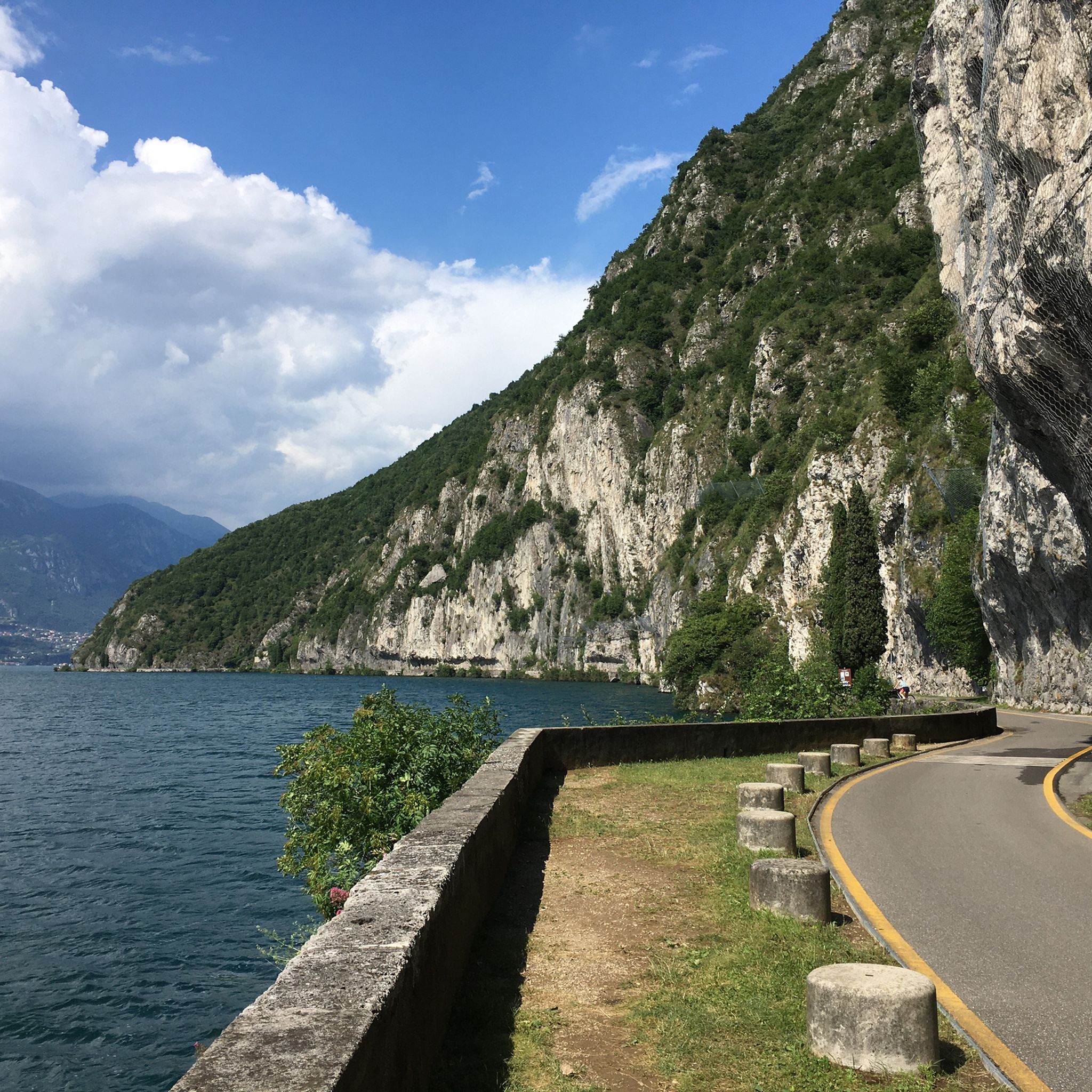
Cycling around Lovere
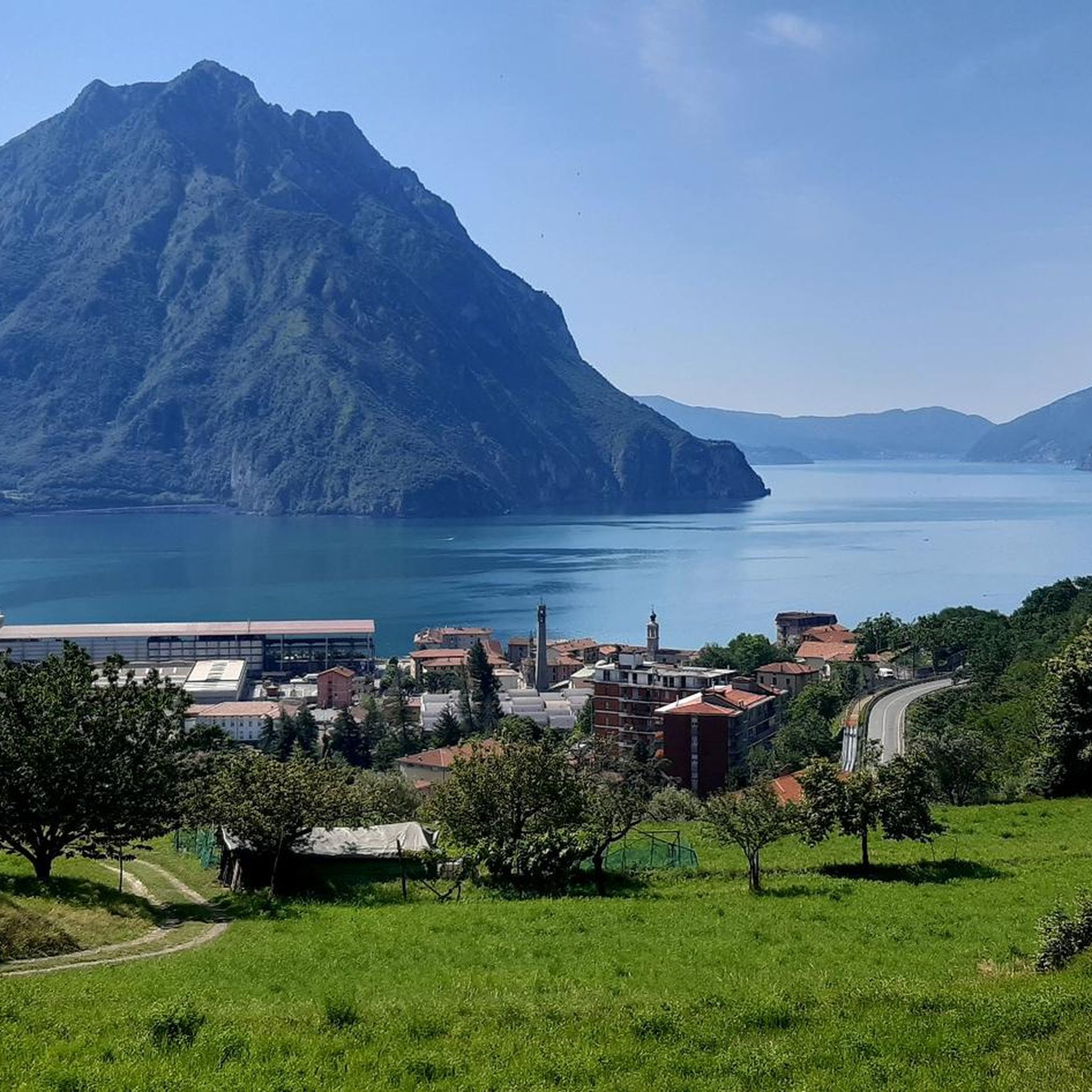
MTB Trails around Lovere
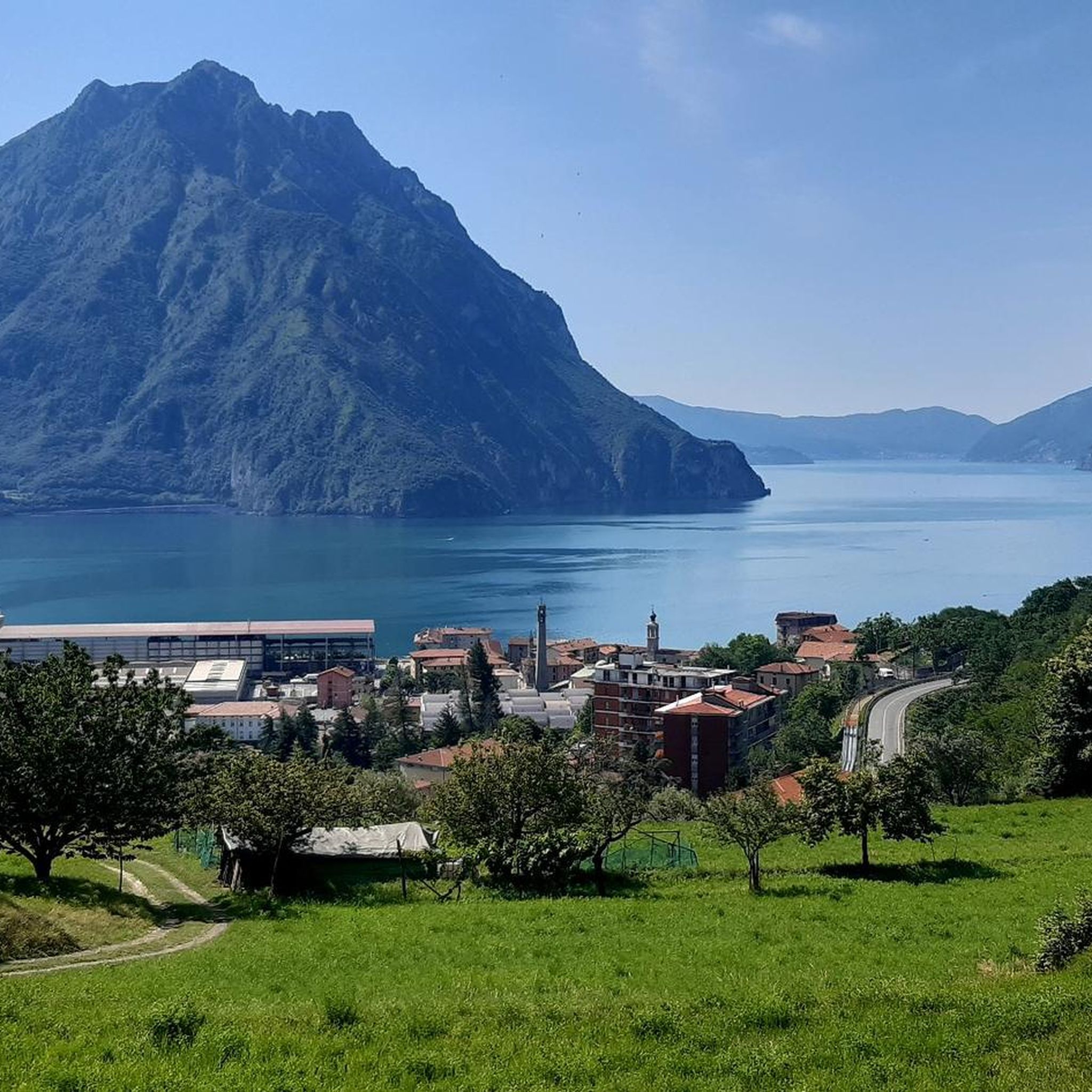
Running Trails around Lovere
Gravel biking around Lovere
Mountain Hikes around Lovere


Tips from the Community

Rather unknown pass, although it has already hosted the Giro. The small road has hardly any significant car traffic and is fantastic for cycling.
0
0

📌 Characteristics of Passo Spino (Sebino version) It is a small wooded pass, not marked by structures or refuges. It is located on the road/mule track that connects the two main passes in the area: Croce di Marone Forcella di Sale It is a transit point for MTB riders and hikers who follow the “Malghe in rete” loop. The section between Forcella di Sale and Passo Spino is predominantly downhill, with some short uphill sections. 🥾 Why it is important Passo Spino is useful as a reference point if: you are doing the Croce di Marone → Forcella di Sale → Noase → Sale Marasino loop you are riding the panoramic mountain road that connects the two main passes of Sebino you are climbing or descending by MTB along the “Malghe in rete” route It is not a panoramic viewpoint like Croce di Pezzolo or the Almana ridge: it is more of a technical passage along the ridge. 🗺️ Quick summary Forcella di Sale = pass at 1150 m, start of the Sentiero Benedetti Passo Spino = immediately after, on the road that continues towards Noase Croce di Marone = connected to both via the same mountain road
0
0
La Forcella di Sale is a pass at about 1150 m above Sale Marasino, a junction point between the Iseo Lake slope and Val Trompia, and direct access to the Filippo Benedetti Equipped Path towards Punta Almana. 📍 What it is and where it is located Official sources describe it as a take-off point for paragliding and a key passage for those climbing towards Almana or Guglielmo. Altitude: 1150 m Location: above Portole (Sale Marasino) Function: pass between Lake Iseo and Val Trompia, connected to Croce di Marone by a mountain road It is also the point where the Filippo Benedetti Equipped Path begins, one of the most scenic and technical stretches in the area. 🥾 How to reach it 1) From Sale Marasino (classic itinerary) The route starts from the car park above the village: first km on a steep asphalt road you reach Forcella di Sale after a few hairpin bends here is the gate that leads to the equipped path 2) From Croce di Marone A largely downhill connection, with short climbs, leads to Forcella di Sale passing through Passo Spino . 3) By MTB The road between Croce di Marone and Forcella di Sale is described as pleasant and panoramic, suitable for mountain biking . 🧗 Filippo Benedetti Equipped Path From the Forcella starts the most characteristic section of the hike towards Punta Almana: exposed passages short rocky sections where you need to use your hands it is not a via ferrata, but requires a sure footing and absence of vertigo spectacular panorama of the lake already from the ridge 🚴 For those climbing by bike The ascent from Sale Marasino is considered very hard: 6.7 km 918 m of elevation gain 13.7% average gradient last 2.5 km "almost vertical" according to reviews 🌄 Why it is an important point It is one of the two main passes of the eastern Sebino along with Croce di Marone It allows you to reach Punta Almana (via the ridge or via the equipped path) It is a take-off point for paragliding with a view of Monte Isola
0
0

I've done it twice in the same lap, first from Desso, then after climbing Monte Pora. They're completely different. From Desso, it's long and always in double digits, with significant peaks, so take it with a pinch of salt; the other is rideable. Seeing is believing. 🚴♀️
0
0
Forcella Larga is a pass located along the hiking trail that connects Pizzo Formico (1636 m) to Montagnina, in Val Gandino, province of Bergamo. It is a panoramic point much appreciated by hikers for its view of the Orobie Bergamasche and Val Seriana. Characteristics of Forcella Larga: Altitude: About 1470 meters. Access: Reachable via the CAI 549 path, which connects Monte Farno to the Rifugio Parafulmine. Panorama: View of Val Seriana, Val Gandino and the surrounding mountains. Support points: Capanna Ilaria, located near the fork. Recommended route: The most common path starts from Conca del Farno, crosses Montagnina and reaches Forcella Larga before continuing towards the summit of Pizzo Formico. It is an excursion suitable for those who have experience in the mountains and want to enjoy a breathtaking view.
0
0
Capanna Ilaria is located at 1470 meters above sea level, in the Forcella Larga area, along the hiking trail that leads to Pizzo Formico (1636 m). It is a reference point for hikers who cross the Montagnina and head towards Rifugio Parafulmine. Characteristics of Capanna Ilaria: Altitude: 1470 m. Location: Forcella Larga, along the CAI 549 trail. History: The hut is a historic ruin, often used as a rest point. Route: Connections with Pizzo Formico, Monte Farno and Rifugio Parafulmine. Panorama: View of Val Seriana, Val Gandino and the Orobie. From Pizzo Formico, Capanna Ilaria can be reached in about 30 minutes, following the trail that crosses the Montagnina. It is a perfect place for a break before continuing towards the refuge or the summit.
0
0

nice to pass by and ring the bell.
0
0

You get there with effort and sweat but it's worth it, and shortly thereafter you can climb the Guglielmo
0
0
Frequently Asked Questions
Which mountain passes near Lovere are popular for cycling?
For keen cyclists, Presolana Pass is a classic climb, known for its challenging sections up to 14% and its inclusion in multiple Giro stages. Colle di San Zeno also offers scenic cycling routes, accessible from both Pisogne and Pezzaze. For more distant but renowned challenges, consider Passo di Croce Domini, Passo del Maniva, and Passo Gavia, all offering spectacular alpine scenery. You can find various cycling routes in the Road Cycling Routes around Lovere guide.
Are there any historically significant mountain passes or sites near Lovere?
Yes, the area boasts several sites with historical significance. The Third Millennium Bell at Forcella Larga is a man-made monument and mountain pass that served as a base for partisans during World War II and is now a meeting point for mountaineers. Additionally, Colle di San Giovanni, also known as Monte Cala, was an ancient stronghold overlooking Lovere and Lake Iseo, with a sanctuary built on the ruins of a medieval fortress. You can learn more about the Sanctuary of San Giovanni at visitlakeiseo.info.
What mountain passes or elevated points offer the best panoramic views of Lake Iseo?
For breathtaking panoramic views of Lake Iseo, Monte Isola, and the surrounding pre-alpine mountains, Corna Trentapassi is an excellent choice. While a peak rather than a pass, its isolated position provides 360-degree vistas. Colle di San Giovanni also offers impressive views over the entire Lake Iseo, Val Cavallina, and Valle Camonica from its sanctuary. San Fermo Pass (La Bratta) is another spot known for its wonderful lake views.
Are there family-friendly hiking options near Lovere's mountain passes?
While many mountain passes offer challenging routes, the trail leading to Colle di San Giovanni from Lovere is considered easy, passing through chestnut woods and offering wide vistas. This blend of accessible trails and scenery makes it suitable for families. For specific family-friendly walks, you might explore the general area around Lovere, keeping an eye out for trails marked as easy or moderate.
What kind of terrain and difficulty can I expect on mountain pass trails around Lovere?
The terrain around Lovere's mountain passes varies significantly. You can find accessible trails through chestnut woods, such as the path to Colle di San Giovanni, which is relatively easy. Other passes, like Presolana Pass, feature challenging climbs with steep sections up to 14%. Corna Trentapassi offers diverse trekking options, from easier paths to more challenging ones that include via ferrata sections. Forcellino del Zuf is part of hiking loops with scenic descents.
What outdoor activities can I do near these mountain passes?
The mountain passes around Lovere are ideal for various outdoor activities. Hiking is popular, with trails leading to places like Forcellino del Zuf and Corna Trentapassi. Cycling is also a major draw, with challenging routes over passes like Presolana Pass and Colle di San Zeno. You can explore more options in the Mountain Hikes around Lovere guide, the Road Cycling Routes around Lovere guide, and the Gravel biking around Lovere guide.
What do visitors enjoy most about the mountain passes around Lovere?
Visitors frequently highlight the spectacular views and challenging routes. For instance, the climb to Presolana Pass is praised for its fantastic views, especially after reaching the summit. The diverse landscapes, from accessible trails through chestnut woods to rugged mountain peaks, also contribute to the appeal. The historical significance of sites like Colle di San Giovanni and the unique monument at Third Millennium Bell at Forcella Larga add another layer of interest for many.
Are there specific hiking trails that include Forcellino del Zuf?
Yes, Forcellino del Zuf is a notable mountain pass in Lombardy and is featured in various hiking loops. These loops often originate from nearby areas such as Zone and Vello, making it a popular destination for trekkers. It is known for offering picturesque views as part of a larger hiking experience, particularly during scenic descents from Corna Trentapassi. You can find routes including this pass in the Mountain Hikes around Lovere guide.
What is the best time to visit the mountain passes around Lovere?
The best time to visit generally depends on your planned activity. For hiking and cycling, spring through autumn (May to October) typically offers the most favorable weather conditions. During these months, trails are usually clear, and the views are vibrant. Some higher passes might have snow later into spring or earlier in autumn. Always check local weather conditions before planning your trip.
Can I reach Colle di San Giovanni (Monte Cala) easily from Lovere?
Yes, Colle di San Giovanni is quite accessible from Lovere. The trail leading to the Sanctuary from Lovere is considered easy, passing through pleasant chestnut woods. This makes it a recommended visit for those seeking a combination of historical significance, accessible trails, and breathtaking scenery overlooking Lake Iseo. More information about the trail can be found at visitlakeiseo.info.
Are there any mountain passes suitable for gravel biking near Lovere?
Yes, the region around Lovere offers options for gravel biking. While specific passes might vary in suitability, the general area provides diverse terrain. For example, the San Fermo Pass (La Bratta) route includes mixed terrain with asphalt, concrete, and a stretch of dirt road, making it accessible even by road bike, but certainly suitable for gravel. You can find dedicated routes in the Gravel biking around Lovere guide.
What is unique about Corna Trentapassi?
Corna Trentapassi is a prominent mountain peak rather than a traditional pass, known for its distinctive 'three spikes' appearance. Its isolated position jutting into Lake Iseo makes its summit an exceptional vantage point for 360-degree panoramic views. It offers diverse trekking options, from easier paths to challenging via ferrata sections, and is famous for hosting the 'Trentapassi Skyrace'. Experiencing a sunset from its summit is particularly recommended for its magical views over Lake Iseo.
Most popular routes around Lovere
Most popular attractions around Lovere

Get inspired with the komoot mobile app


Explore more
See even more epic mountain passes by checking out these guides around Lovere:
