The best road cycling routes around Taipana
4.6
(61)
1,305
riders
37
rides
Road cycling routes around Taipana navigate a landscape characterized by significant elevation changes and varied terrain. The region features numerous climbs and descents, indicating a hilly or mountainous environment suitable for challenging road cycling. These routes often traverse areas with notable viewpoints and rural villages, providing diverse cycling experiences. The area's topography supports both moderate and difficult road cycling, with routes that can include substantial ascents.
Best road cycling routes around Taipana
- The most popular road cycling route is Sunflower…
Last updated: August 31, 2026
4.9
(7)
146
riders
Moderate road ride. Good fitness required. Mostly well-paved surfaces and easy to ride.
4.5
(4)
108
riders
56.2km
03:08
1,160m
1,160m
Hard road ride. Very good fitness required. Mostly well-paved surfaces and easy to ride.

Sign up for free
4.7
(21)
424
riders
58.2km
02:37
620m
620m
Moderate road ride. Good fitness required. Mostly well-paved surfaces and easy to ride.
5.0
(3)
39
riders
20.1km
01:11
460m
460m
Moderate road ride. Good fitness required. Some segments of this route may be unpaved and difficult to ride.
4.7
(3)
72
riders
62.8km
03:14
1,000m
1,000m
Hard road ride. Very good fitness required. Mostly well-paved surfaces and easy to ride.
Get access to more routes and recommendations from other explorers.
Sign up for free
Already have an account?
Our route recommendations are based on thousands of hikes, rides, and runs completed by other people on komoot.
Start today with a free account
Your next adventure awaits.
Login or Signup

Other adventures around Taipana

Tips from the Community

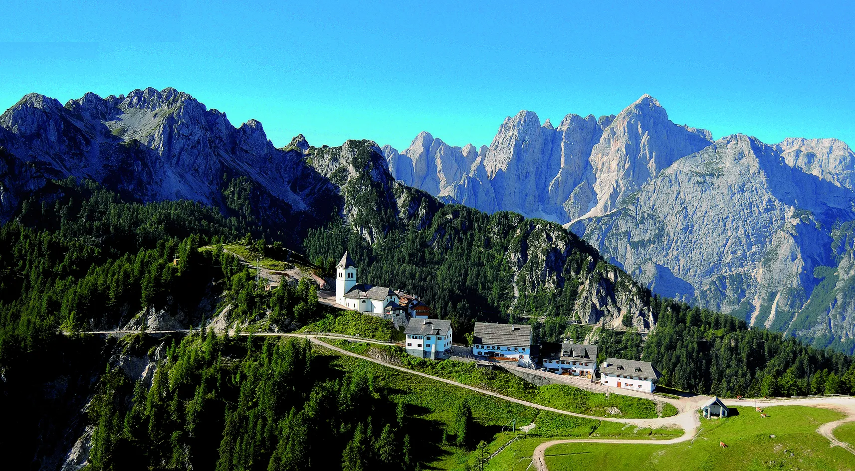
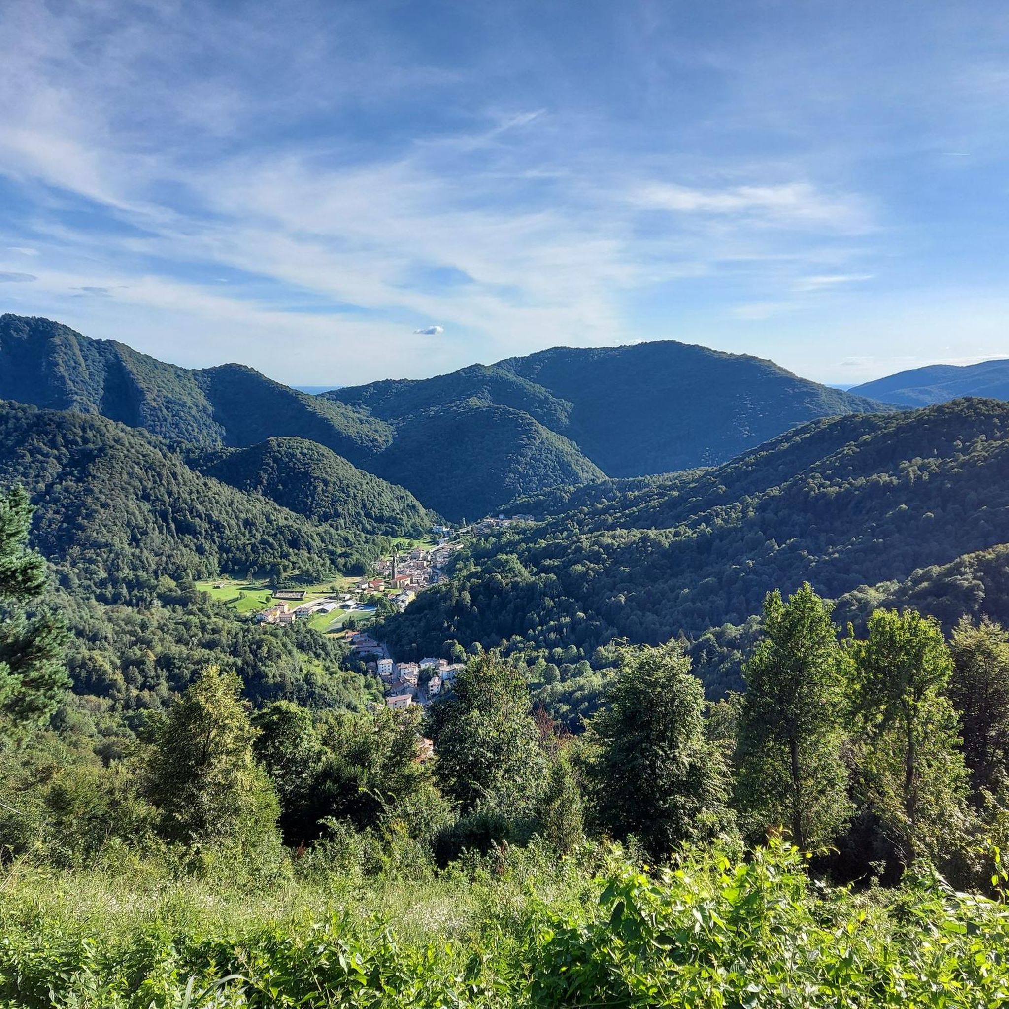
The church is located on a small hill and is therefore a real eye-catcher.
0
0

The Nadiza has, in contrast to the Soca, absolute bathing temperature in summer
1
0


An incredible landscape. absolutely worth seeing.
0
0

From this stylish viewing bench, you can certainly see all the way to the Mediterranean - if the air is clear.
0
0
The highlight is essentially a small plateau consisting of two levels. It is also a pass at 960 meters. On the upper level, there is a memorial from which there is a beautiful view of Friuli. On the lower level, there is an Alpine building and a slightly larger shrine.
0
0

Logje (pronounced [lɔɡˈjeː]) is a small settlement in the Municipality of Kobarid in the Littoral region of Slovenia. It includes the hamlets of Brežani, Vrhovci, Rosi, and Končanjani. Logje is a clustered village in the Breginj Combe on a semicircular slope above a broad terrace over the Nadiža River below Sleme Hill (598 m). It is connected by a road to Breginj that leads through undulating plateaus and then descends steeply to the terrace, where it continues to Robidišče. The fields are divided into small parcels and there are also hay fields and pastures. Below the village, Jamjak and Parivnjak creeks empty into the Nadiža. There are also several springs below the village. South of the village, a trail crosses a stone bridge known as the Napoleon Bridge (Slovene: Napoleonov most) and then continues south to the Pradolino dry valley (Italian: Valle di Pradolino, Slovene: Pradol or Predol), and then on to Stupizza, where it meets the Nadiža once again. From Wikipedia, the free encyclopedia
0
0
Frequently Asked Questions
How challenging are the road cycling routes in Taipana?
Road cycling routes around Taipana are generally characterized by significant elevation changes, making them suitable for challenging rides. Out of 33 available routes, 14 are classified as difficult, 15 as moderate, and 4 as easy. This indicates a landscape with numerous climbs and descents, appealing to cyclists looking for a demanding experience.
Are there any easy road cycling routes for beginners in Taipana?
While many routes in Taipana are moderate to difficult, there are a few options suitable for beginners. The region offers 4 easy road cycling routes, providing a gentler introduction to the area's scenic beauty without the intense climbs found on more advanced trails.
What are some challenging road cycling routes for experienced riders in Taipana?
Experienced riders seeking a challenge will find plenty of options in Taipana. Routes like the Prossenicco Village – Porzûs Climb loop from Borjana, with its 1,533 meters of elevation gain over 57.1 km, offer significant climbs and rewarding descents. Another demanding option is the Sunflower Field of Nimis – Subit Descent loop from Nimis, covering 56.2 km with 1,160 meters of ascent.
What are the typical distances for road cycling routes in Taipana?
Road cycling routes in Taipana vary in length, catering to different preferences. You can find shorter loops, such as the Sunflower Field of Nimis – View of Ramandolo loop from Nimis at 29.4 km, or the Subit Descent loop from Attimis / Atimis at 18.5 km. Longer routes, like the View from Zore Goat Farm – Subit Descent loop from Nimis, extend to over 54 km, offering more extensive rides.
When is the best time of year for road cycling in Taipana?
Given Taipana's hilly and mountainous terrain, the best time for road cycling is typically from late spring through early autumn (May to October). During these months, the weather is generally more stable, and temperatures are pleasant for tackling the region's climbs and descents. Winter cycling can be challenging due to potential snow and ice at higher elevations.
Are there any circular road cycling routes in Taipana?
Yes, many of the road cycling routes in Taipana are designed as loops, allowing you to start and finish at the same point. Examples include the popular Sunflower Field of Nimis – Subit Descent loop from Nimis and the Prossenicco Village – Porzûs Climb loop from Borjana, providing convenient options for exploration.
What kind of viewpoints can I expect on road cycling routes near Taipana?
Road cycling routes around Taipana often feature rewarding viewpoints due to the region's elevated terrain. You can expect panoramic vistas of the surrounding valleys, rural villages, and potentially distant mountain ranges. The Sunflower Field of Nimis – View of Ramandolo loop from Nimis, for instance, offers scenic views of the Ramandolo area.
What can I see along the road cycling routes in Taipana?
Beyond the natural landscapes, road cycling routes in Taipana can lead you past historical and cultural points of interest. You might encounter charming rural villages, and some routes offer glimpses of historical structures. For those interested in local heritage, nearby attractions include various castles such as Coia Castle or Torre di Attimis. Additionally, the region features several huts and shelters like Casera Nischiuarch Shelter, which can be explored.
What do other road cyclists enjoy most about road cycling in Taipana?
The road cycling experience in Taipana is highly regarded by the komoot community, with an average rating of 4.6 stars from over 30 reviews. Cyclists frequently praise the challenging climbs, rewarding descents, and the scenic viewpoints that define the region's varied terrain. The diverse network of routes offers options for different ability levels, ensuring an engaging ride for many.
Are there any family-friendly road cycling routes in Taipana?
Given the prevalence of significant elevation changes and moderate to difficult routes, Taipana's road cycling is primarily geared towards more experienced cyclists. While there are 4 easy routes, families with young children or those seeking very flat, dedicated cycling paths might find options limited. It's advisable to check the elevation profiles of easy routes to ensure they meet your family's comfort level.
Where can I find parking for road cycling routes in Taipana?
While specific parking areas are not detailed for each route, starting points for many routes are often located in or near villages like Nimis or Borjana. In these areas, you can typically find public parking spaces. It's recommended to check local regulations or look for designated parking zones upon arrival in the starting village.
Can I access road cycling routes in Taipana by public transport?
Accessing road cycling routes in Taipana primarily relies on personal transport due to the rural and mountainous nature of the region. Public transport options, such as local buses, may connect some of the larger villages, but direct access to all route starting points with a bicycle might be limited. Planning your journey in advance and checking local bus schedules is recommended if you intend to use public transport.
Most popular routes around Taipana
Most popular attractions around Taipana

Get inspired with the komoot mobile app


Explore more
Browse the best Road cycling routes in other regions.
