The best road cycling routes around Ruhmannsfelden
4.8
(56)
1,016
riders
65
rides
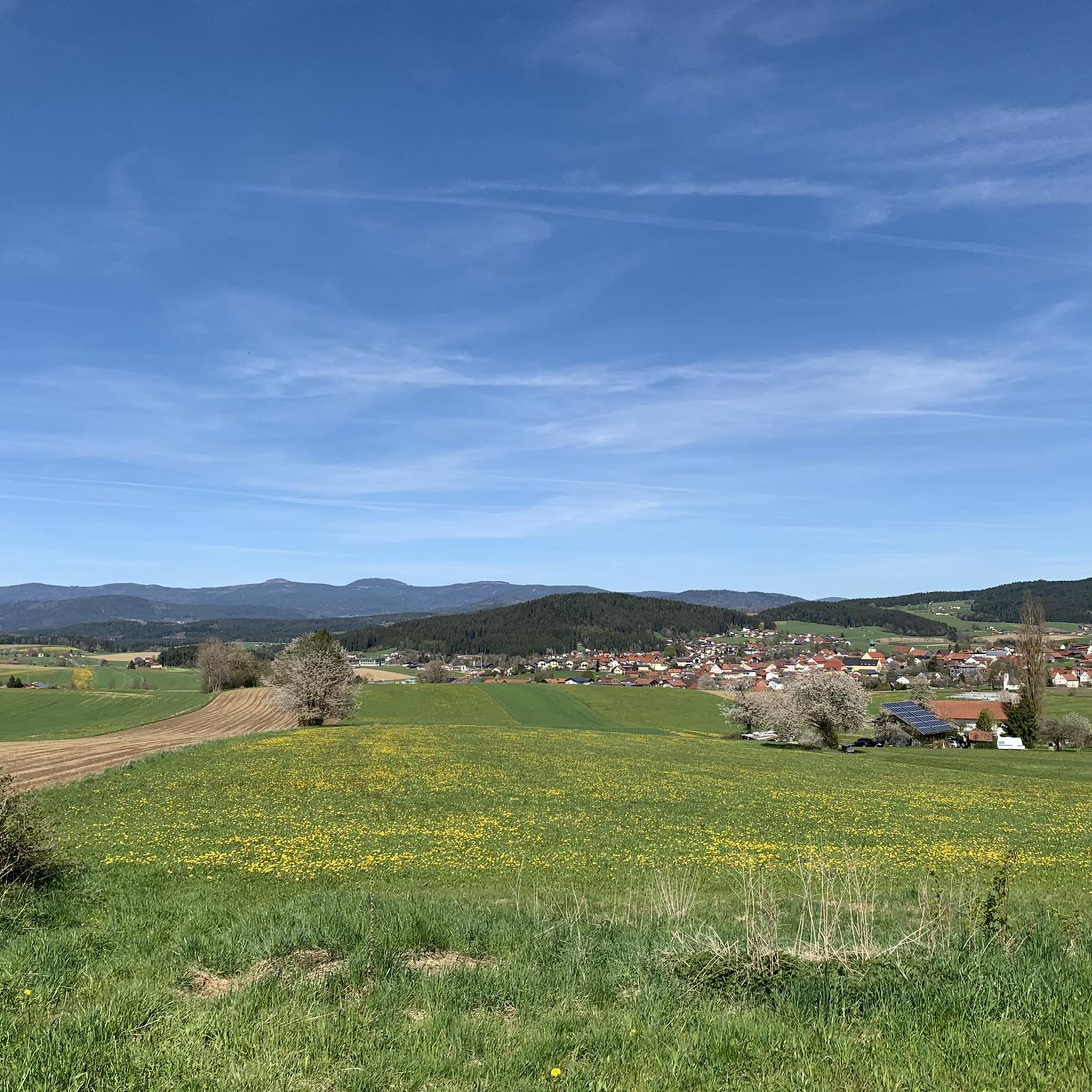
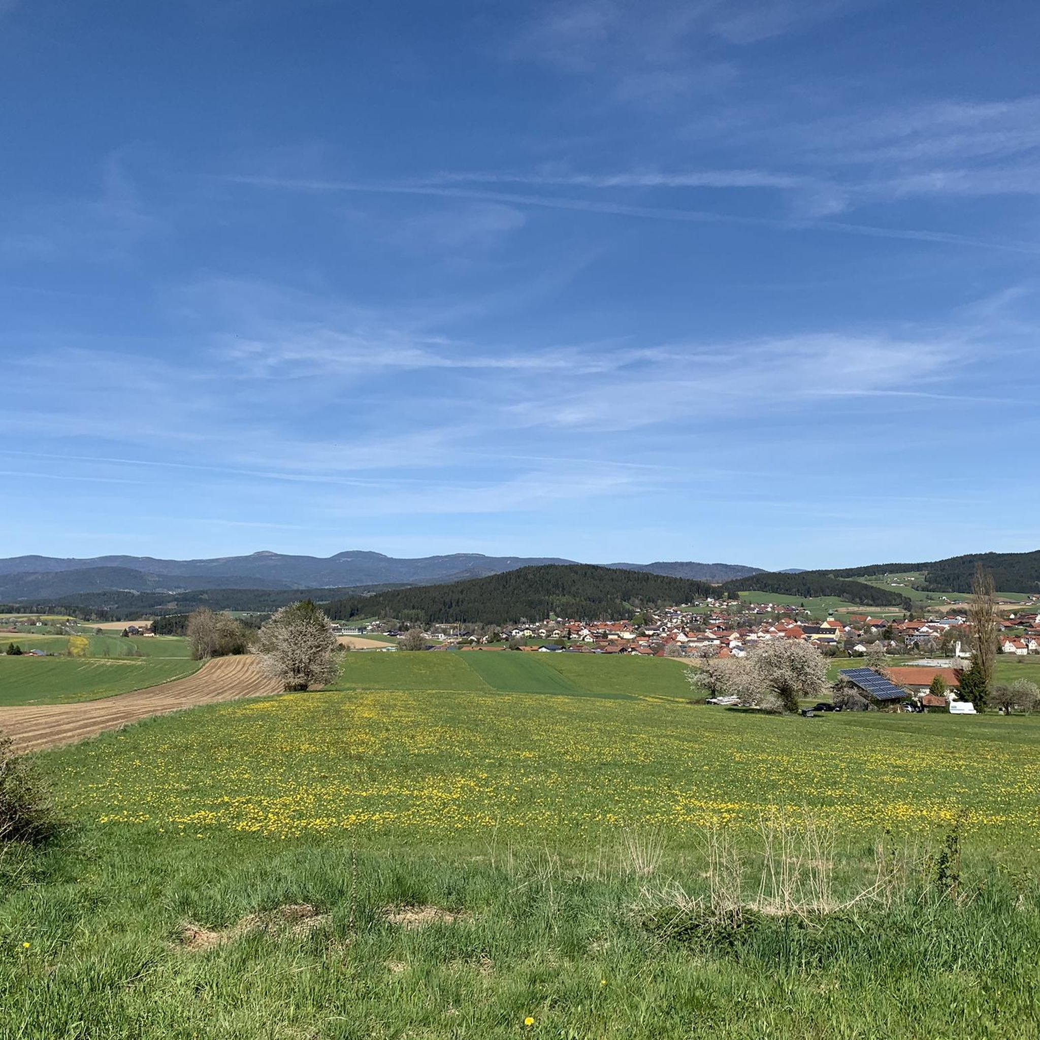
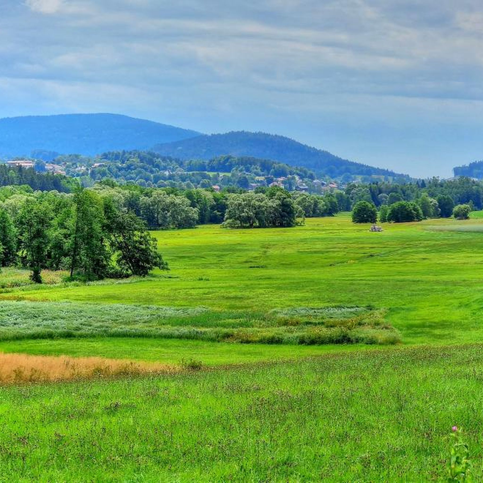
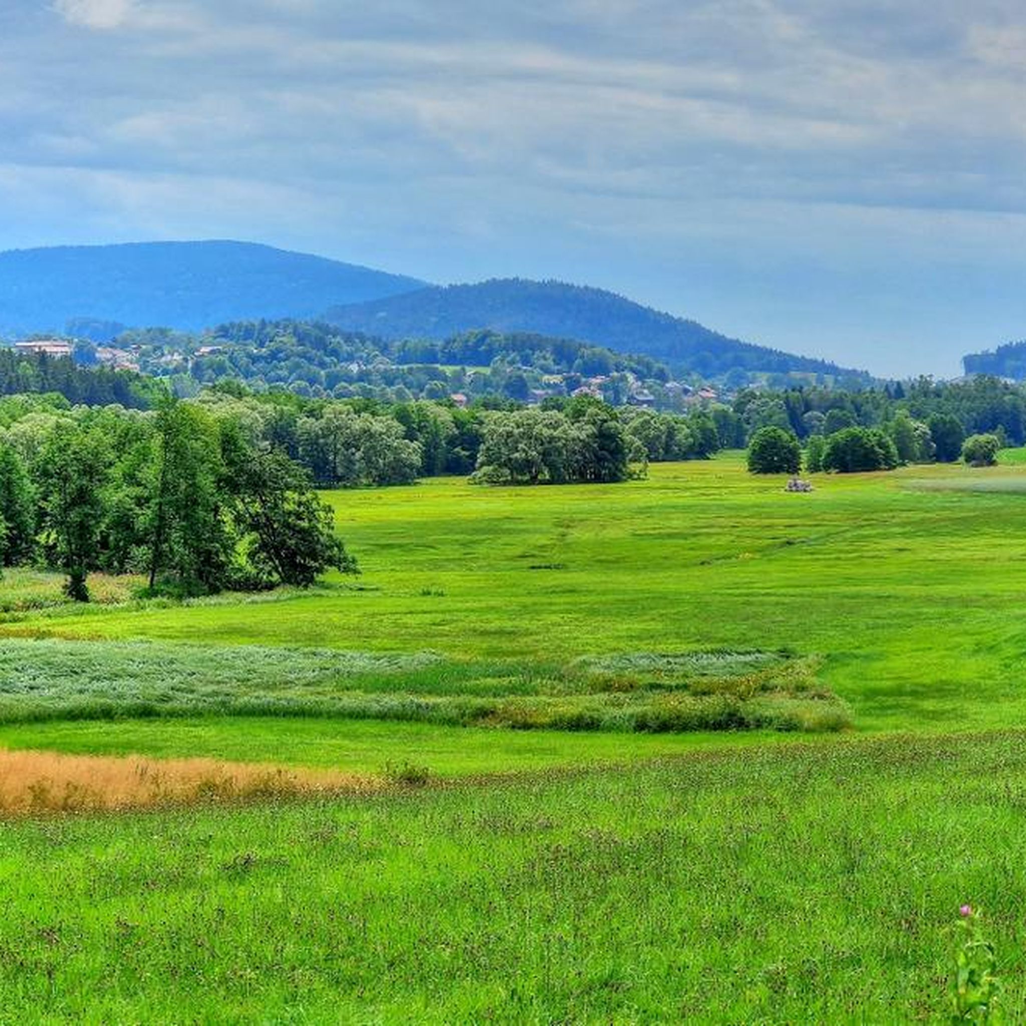
Road cycling routes around Ruhmannsfelden traverse a landscape characterized by rolling hills, river valleys, and forested areas within the Bavarian Forest. The region features significant elevation changes, with many routes offering substantial climbs and descents. Road cyclists can expect a mix of challenging ascents and scenic stretches through rural settings.
Best road cycling routes around Ruhmannsfelden
- The most popular road cycling route is View of Ulrichsberg – View of Greising loop from Ruhmannsfelden, a 39.1 miles (63.0 km) trail…
Last updated: July 7, 2026
4.8
(9)
70
riders
61.8km
03:26
1,310m
1,310m
Hard road ride. Very good fitness required. Mostly well-paved surfaces and easy to ride.
5.0
(1)
29
riders
71.9km
03:37
1,090m
1,090m
Hard road ride. Very good fitness required. Mostly well-paved surfaces and easy to ride.

Sign up for free
5.0
(3)
44
riders
48.2km
02:32
770m
770m
Moderate road ride. Good fitness required. Mostly well-paved surfaces and easy to ride.
40
riders
Moderate road ride. Good fitness required. Mostly well-paved surfaces and easy to ride.
5.0
(1)
7
riders
85.1km
05:00
1,870m
1,870m
Hard road ride. Very good fitness required. Mostly well-paved surfaces and easy to ride.
Get access to more routes and recommendations from other explorers.
Sign up for free
Already have an account?
Our route recommendations are based on thousands of hikes, rides, and runs completed by other people on komoot.
Start today with a free account
Your next adventure awaits.
Login or Signup


Tips from the Community

When the Föhn wind blows, you can see the peaks of the Alps here.
1
0

our village should become more beautiful ;-)
0
0

Located on the edge of the park
0
0

Beautiful view with beer garden behind the church
0
0
permanent incline from Neukirchen to Maibrunn, very little traffic today :-)
0
0

Village square in Perasdorf, beautifully maintained and perfect for a short break.
0
0

A very fine area with many hidden facets and scenic surprises
0
0

Egg Castle is located in the Egg part of the municipality of Bernried in the district of Deggendorf. The former defensive structure was built in the 11th century in the valley of the Mettenbach as a moated castle and was given a romantic makeover in the middle of the 19th century. The complex is listed as an architectural monument under the file number D-2-71-116-14. The complex is also listed as an archaeological monument under the file number D-2-7143-0001 with the description "underground medieval and early modern findings in the area of the castle ruins and castle of Egg".
3
0
Frequently Asked Questions
How many road cycling routes are available around Ruhmannsfelden?
There are over 60 road cycling routes documented on komoot around Ruhmannsfelden, offering a wide range of options for different skill levels and preferences.
Are there challenging road cycling routes with significant elevation gain in Ruhmannsfelden?
Yes, Ruhmannsfelden is known for its challenging terrain. Many routes feature significant elevation changes, with 36 out of 64 routes classified as difficult. For instance, the Maibrunner Höhe (902 m) – Village Square in Perasdorf loop from Ruhmannsfelden includes over 1,800 meters of elevation gain.
What kind of scenery can I expect on road cycling routes in Ruhmannsfelden?
Road cycling routes around Ruhmannsfelden traverse a diverse landscape of rolling hills, picturesque river valleys, and dense forested areas within the Bavarian Forest. You can expect panoramic views from higher points, such as those found on the View of Ulrichsberg – View of Greising loop from Ruhmannsfelden.
Are there any easy road cycling routes suitable for beginners in Ruhmannsfelden?
While many routes in Ruhmannsfelden are moderate to difficult, there is at least one easy road cycling route available. These routes typically feature less elevation gain and shorter distances, making them suitable for beginners or those seeking a more relaxed ride.
What do other road cyclists say about the routes in Ruhmannsfelden?
The road cycling routes in Ruhmannsfelden are highly rated by the komoot community, with an average score of 4.6 stars from over 60 reviews. Cyclists often praise the varied terrain, scenic views, and the challenge offered by the region's hills.
Are there long-distance road cycling routes available from Ruhmannsfelden?
Yes, Ruhmannsfelden offers several longer road cycling routes. For example, the Maibrunner Höhe (902 m) – Village Square in Perasdorf loop from Ruhmannsfelden covers over 85 kilometers, providing an excellent option for endurance cyclists.
What are some notable landmarks or points of interest I can see while road cycling near Ruhmannsfelden?
While cycling, you can encounter various natural and historical landmarks. Highlights include the Hirschenstein viewpoint, the Predigtstuhl Summit, and the Klausenstein Summit Cross. Some routes, like the View of Altnußberg Castle – Schwarzer Regen loop from Zuckenried, offer views of historical sites and follow river valleys.
Are the road cycling routes around Ruhmannsfelden mostly circular?
Yes, many of the road cycling routes around Ruhmannsfelden are designed as loops, allowing you to start and finish at the same point. Examples include the Deggendorf Market Square – Egg Castle loop from Ruhmannsfelden and the Market Square Fountain, Bodenmais – Zellertal Valley loop from Ruhmannsfelden.
What is the best time of year for road biking in Ruhmannsfelden?
The best time for road biking in Ruhmannsfelden is typically from late spring through early autumn (May to October), when the weather is generally mild and the roads are clear of snow and ice. This period offers the most pleasant conditions for enjoying the region's scenic routes.
Are there any routes that pass through the Zellertal Valley?
Yes, the Market Square Fountain, Bodenmais – Zellertal Valley loop from Ruhmannsfelden specifically winds through the picturesque Zellertal Valley, connecting market towns with scenic stretches, offering a unique regional experience.
What should I consider bringing for a road cycling trip in Ruhmannsfelden?
Given the significant elevation changes and varied terrain, it's advisable to bring appropriate gear including a well-maintained road bike, a helmet, sufficient water and snacks, and layers of clothing to adapt to changing weather conditions. A repair kit and navigation device are also recommended.
Are there any routes that offer views of Altnußberg Castle?
Yes, the View of Altnußberg Castle – Schwarzer Regen loop from Zuckenried provides views of Altnußberg Castle as it leads through varied terrain, including stretches along the Schwarzer Regen river.
Most popular routes around Ruhmannsfelden
Most popular attractions around Ruhmannsfelden

Get inspired with the komoot mobile app


Explore more
Browse the best Road cycling routes in other regions.
