The best mountain hikes around Prato Carnico
4.6
(9)
98
hikers
10
hikes
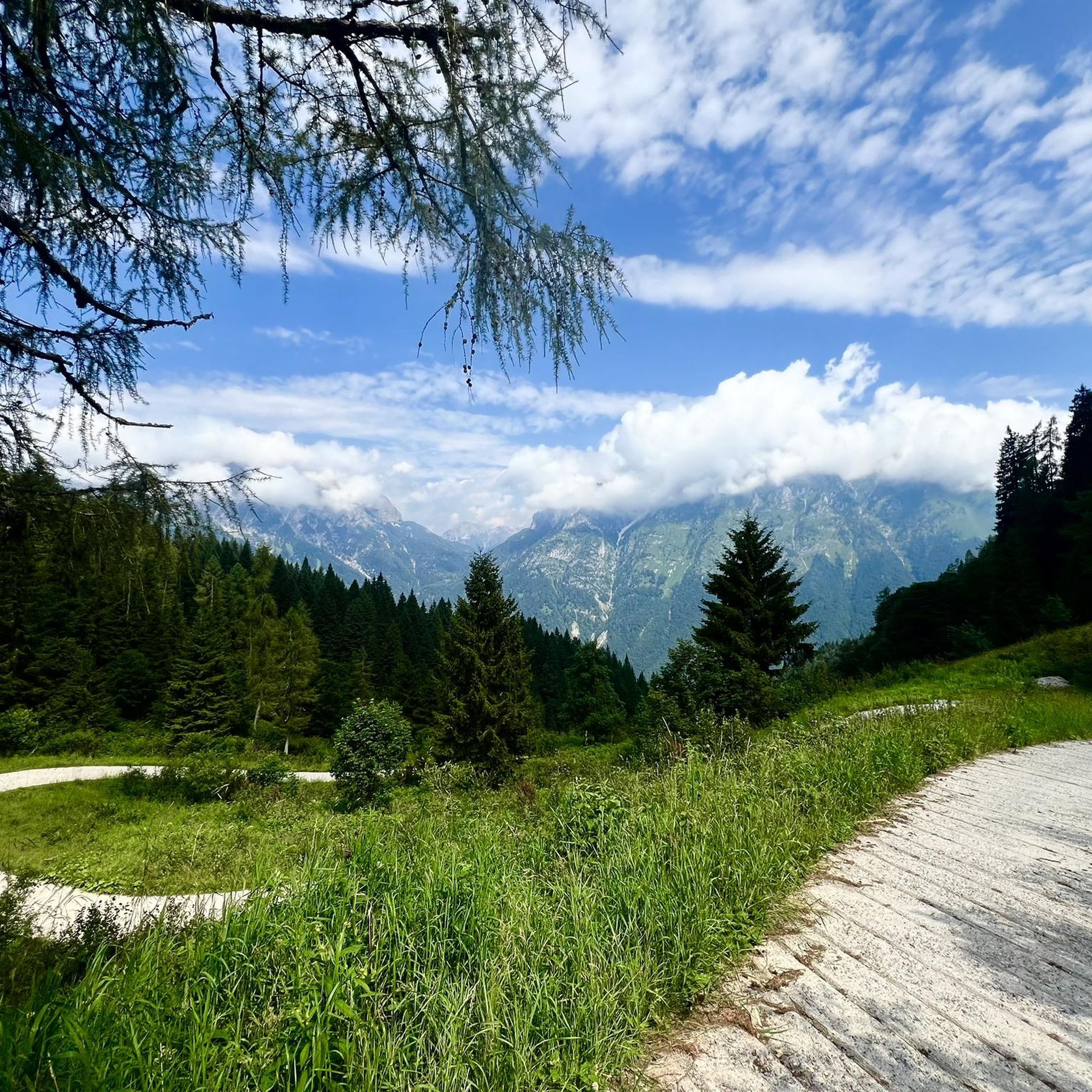
Mountaineering routes around Prato Carnico are set within the dramatic Dolomiti Pesarine, part of Italy's Carnic Alps. This region is characterized by majestic limestone peaks, extensive woods, and large meadows, offering diverse terrain for alpine exploration. The Val Pesarina features lively streams and varied elevations, providing a challenging yet rewarding environment for mountaineers. Prominent peaks like Monte Creta Forata and the Monte Terza group define the rugged landscape.
Best mountaineering routes around Prato Carnico
- The most popular mountaineering route is…
Last updated: August 14, 2026
23
hikers
9.70km
05:07
760m
760m
Hard mountaineering route. Very good fitness required. Sure-footedness, sturdy shoes and alpine experience required.
5.0
(2)
17
hikers
12.4km
07:51
1,350m
1,350m
Hard mountaineering route. Very good fitness required. Sure-footedness, sturdy shoes and alpine experience required.

Sign up for free
4.0
(2)
13
hikers
14.2km
06:09
840m
840m
Hard mountaineering route. Very good fitness required. Sure-footedness, sturdy shoes and alpine experience required.
5.0
(2)
9
hikers
8.71km
03:34
700m
700m
Moderate mountaineering route. Good fitness required. Mostly accessible paths. Sure-footedness required.
4
hikers
8.30km
03:55
580m
580m
Hard mountaineering route. Good fitness required. Sure-footedness, sturdy shoes and alpine experience required.
Get access to more routes and recommendations from other explorers.
Sign up for free
Already have an account?
Our route recommendations are based on thousands of hikes, rides, and runs completed by other people on komoot.
Start today with a free account
Your next adventure awaits.
Login or Signup

Tips from the Community

The Rifugio is currently closed
1
0

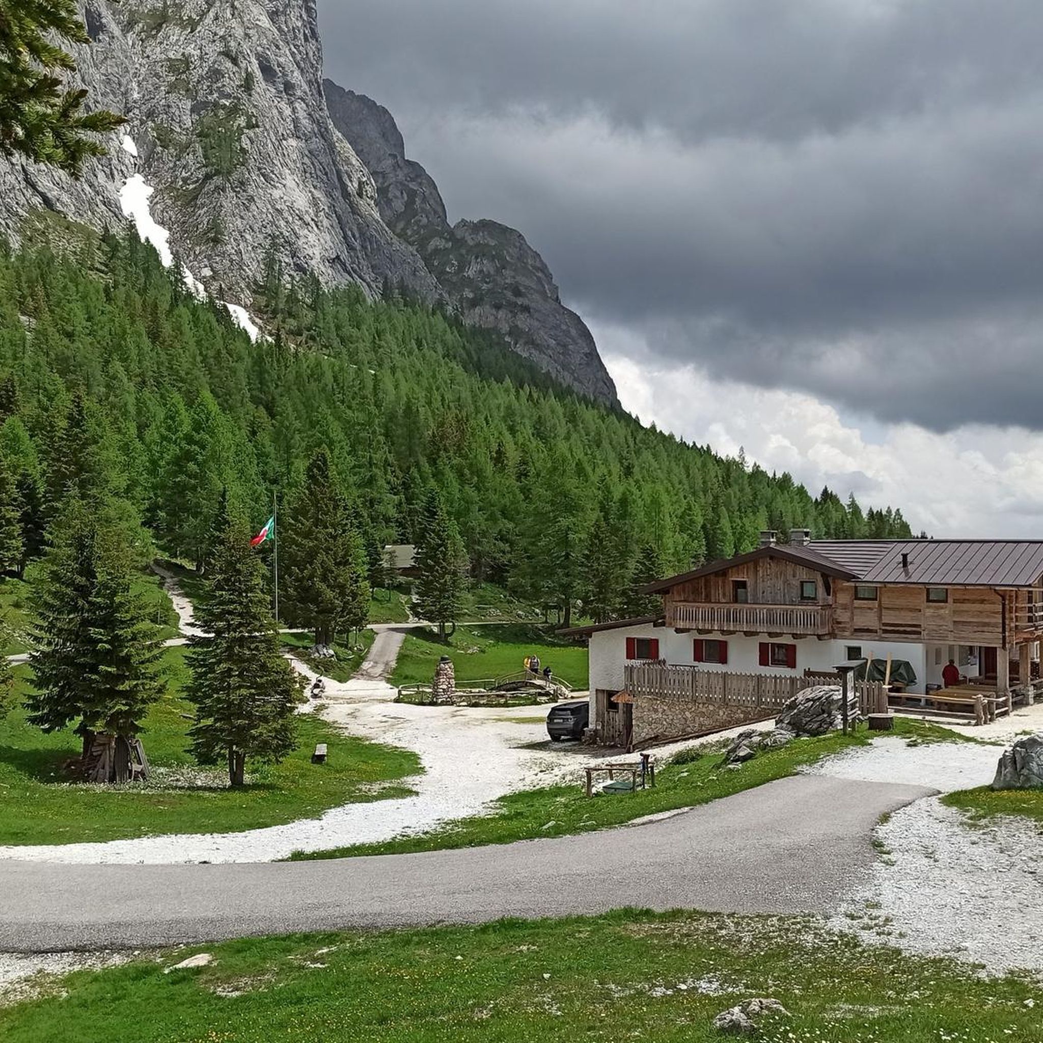
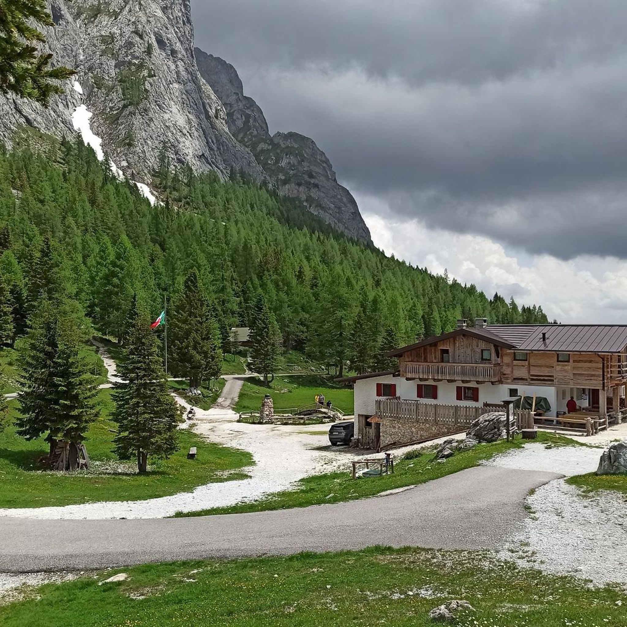
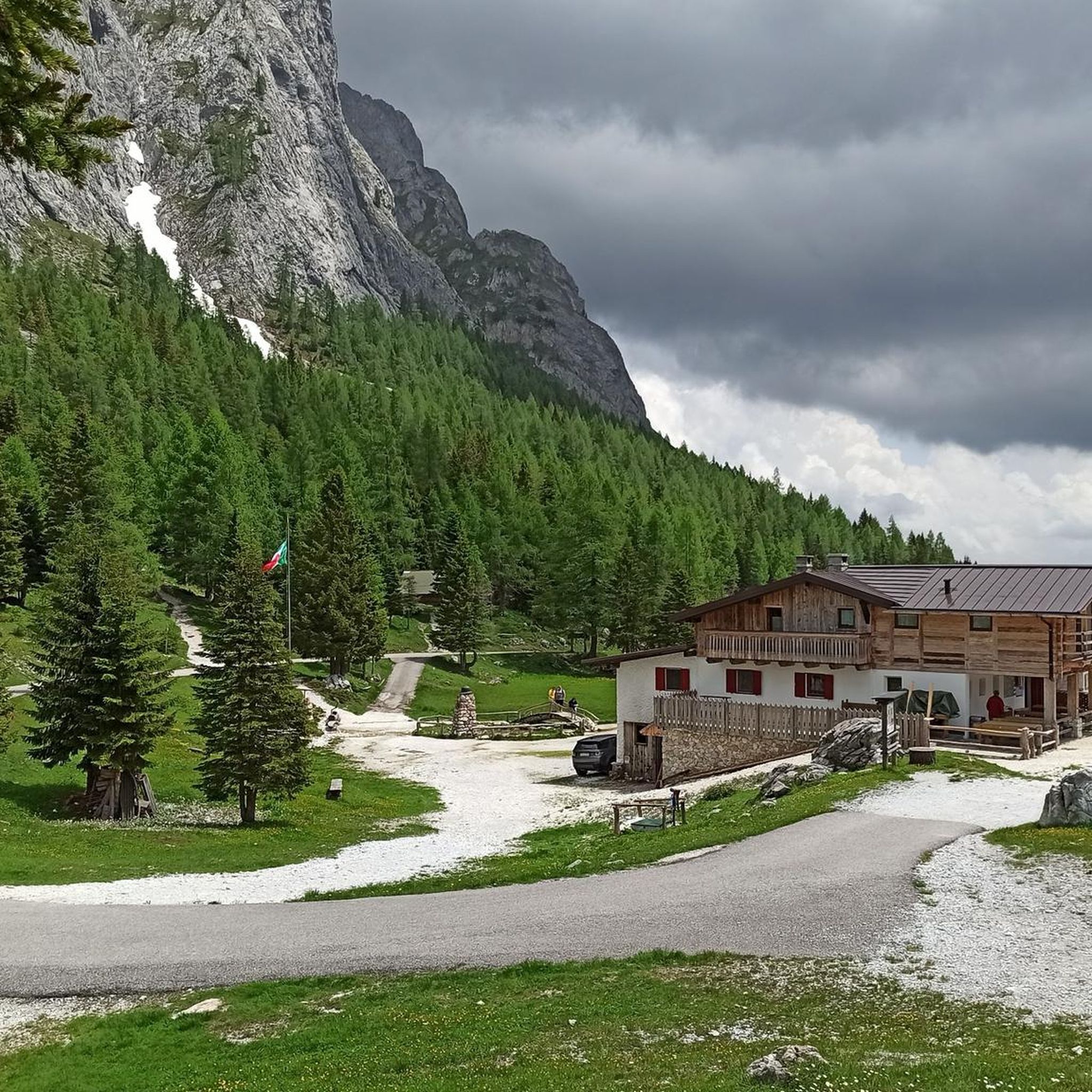
Characteristic alpine hut located in the heart of Val Sesis, along the road (SP22) that leads to the Sorgenti del Piave. Reopened on June 2, 2022, following a major renovation, it is now a welcoming mountain restaurant run by women. A rustic environment, warmed by the fire of wood-burning stoves and by the wood that characterizes the rooms. Easily reachable by car in summer, it is a pleasant destination for a walk on a beaten path in winter. www.baitarododendro.it
1
0

The panoramic position of this hut in Austrian territory is extraordinary. The lake nestled at its feet makes it even more beautiful.
0
0
The beautiful Lambertenghi-Romanin refuge is currently closed for renovation. Located at an altitude of 1955 meters, just before the saddle overlooking WolayerSee, it is an excellent base on the Italian side for the ascent to Cima Coglians and the Carnic traverse.
0
0

Located directly on the Carnic High Trail on the Italian side. The Wolayerseehütte is only 5 minutes away on the Austrian side.
0
0

... to the front line of the First World War are immortalized here.
0
0
The Baita is located in a small valley in the Val Sesis, along the ascent to the source of the Piave River. It is located on the former front line of World War I.
0
0

Refuge closed also for the summer season 2025
2
0
Frequently Asked Questions
How many mountaineering routes are available in Prato Carnico?
Prato Carnico offers a selection of 14 mountaineering routes, providing diverse options for exploring the Dolomiti Pesarine. These routes range in difficulty, with 2 moderate and 12 difficult trails.
What do other mountaineers say about the routes in Prato Carnico?
The mountaineering routes in Prato Carnico are highly regarded by the komoot community, with an average rating of 4.7 stars from 11 reviews. Users frequently praise the dramatic Dolomitic landscapes and the challenging yet rewarding alpine terrain.
Are there any notable natural features or landmarks to see while mountaineering in Prato Carnico?
Yes, the region is rich in natural beauty. You'll encounter the majestic Dolomiti Pesarine with their characteristic limestone formations. The Wolayersee Hut and Lake Wolayer are notable points of interest, as are the Olbe Lakes. The area also features unique cultural sites like the Stavoli Orias, ancient rural buildings nestled in a scenic setting.
Can I find routes that pass by waterfalls or lakes?
Absolutely. Several routes offer stunning views of natural water features. For instance, the Wolayer Lake – Fossil Rocks loop from Collina / Culino takes you past the beautiful Lake Wolayer. You can also explore areas with picturesque waterfalls, such as the Hildenfall or Cascatelle Falls.
Are there any circular mountaineering routes in Prato Carnico?
Yes, many routes in Prato Carnico are designed as loops, allowing you to experience diverse scenery without retracing your steps. Examples include the Cima Brentoni loop from Col Rementera, the Wolayer Lake – Fossil Rocks loop from Collina / Culino, and the Monte Bivera – Forcella del Bivera loop from Sella di Razzo.
Are there any easier mountaineering routes for beginners in Prato Carnico?
While most mountaineering routes in Prato Carnico are classified as difficult, there are two moderate options available. These routes still involve significant elevation changes and alpine terrain but may be more approachable for those with some experience looking to progress. An example is the Lago d'Olbe Maggiore loop from Pian delle Bombarde.
What is the best time of year for mountaineering in Prato Carnico?
The best time for mountaineering in Prato Carnico is typically during the warmer months, from late spring to early autumn, when trails are clear of snow and weather conditions are more stable. This allows for optimal enjoyment of the high mountain landscapes. Winter offers opportunities for specific snow-based activities like ski mountaineering.
Are there options for accommodation or places to eat near the trails?
Yes, mountain huts like the Rifugio Fratelli De Gasperi, situated at over 1700 meters, serve as excellent bases for ascensions and offer places to rest and eat. The valley also has various options for accommodation and dining, particularly in Prato Carnico itself.
Are there any specific challenges or unique aspects of mountaineering in the Dolomiti Pesarine?
Mountaineering in the Dolomiti Pesarine is characterized by its dramatic limestone peaks and 'limestone moonscapes.' Routes often involve substantial elevation gain and traverse high mountain passes, offering a challenging yet incredibly rewarding experience amidst breathtaking scenery. The region is less crowded than other parts of the Dolomites, providing a more serene alpine adventure.
Are there family-friendly mountaineering routes in Prato Carnico?
While many routes are difficult, active families with some hiking experience might find the moderate routes, such as the Lago d'Olbe Maggiore loop from Pian delle Bombarde, suitable. These routes still require good physical condition and appropriate gear due to the alpine environment.
What are some of the longer mountaineering routes in the area?
For those seeking longer adventures, the Monte Bivera – Forcella del Bivera loop from Sella di Razzo covers 14.2 km (8.8 miles) and typically takes around 6 hours 9 minutes. Another substantial option is the Lago Bordaglia loop from Cava di Marmo "Avanza", which is 13.7 km (8.5 miles) long.
Is Prato Carnico suitable for winter mountaineering?
During winter, Prato Carnico transforms into a hub for snow-based activities, including ski mountaineering. However, winter mountaineering requires specialized equipment, skills, and awareness of avalanche conditions. It's crucial to be well-prepared and check local conditions before embarking on winter routes.
Most popular routes around Prato Carnico
Most popular attractions around Prato Carnico

Get inspired with the komoot mobile app


Explore more
Browse the best Mountain Hikes & Routes in other regions.
