The best walks and hikes around Pasian Di Prato
4.3
(300)
1,738
hikers
27
hikes
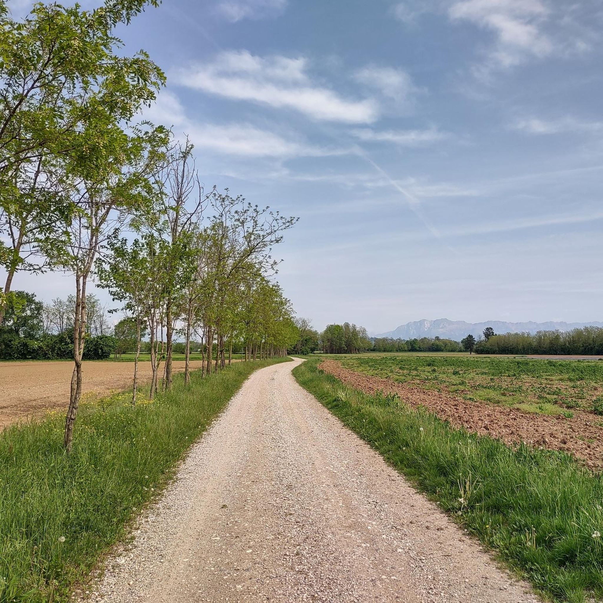
Hiking around Pasian Di Prato, a municipality in Italy's Friuli-Venezia Giulia region, offers access to a landscape characterized by stable meadows and a network of waterways. The area is crisscrossed by rivers such as the Cormor and canals like the Ledra and Lavia, which provide scenic routes. These natural features contribute to a generally flat terrain, suitable for various outdoor activities.
Best hiking trails around Pasian Di Prato
- The most popular hiking route is Prati del Lavia loop from Pasian di Prato / Pasian di Prât, an easy 2.7 miles (4.4 km) trail that takes about 1 hour 6 minutes to complete. This route explores the local meadows and natural areas.
- Another top favourite among local hikers is The Great Oak of Bonavilla – Cross of Blessed Bernard loop from Bluenergy Stadium, an easy 3.8 miles (6.1 km) path. This trail passes by notable local landmarks and green spaces.
- Local hikers also love the Cormor Park – Valle del Cormor loop from Bluenergy Stadium, a 12.0 miles (19.3 km) trail leading through riverine landscapes, often completed in about 4 hours 59 minutes.
- Hiking around Pasian Di Prato is defined by stable meadows, river paths, and canal-side routes. The network offers options for different ability levels, from easy strolls to moderate excursions.
- The routes in Pasian Di Prato are highly rated by the komoot community with an average score of 4.3 stars from over 250 reviews. More than 1500 hikers have used komoot to explore Pasian Di Prato's varied terrain.
Last updated: October 8, 2026
29
hikers
2.00km
00:31
10m
10m
Easy hike. Great for any fitness level. Easily-accessible paths. Suitable for all skill levels.
5.0
(6)
23
hikers
4.33km
01:06
10m
10m
Easy hike. Great for any fitness level. Easily-accessible paths. Suitable for all skill levels.

5.0
(1)
18
hikers
Easy hike. Great for any fitness level. Easily-accessible paths. Suitable for all skill levels.
5.0
(2)
12
hikers
Easy hike. Great for any fitness level. Easily-accessible paths. Suitable for all skill levels.
3.4
(5)
27
hikers
16.3km
04:12
90m
90m
Moderate hike. Good fitness required. Easily-accessible paths. Suitable for all skill levels.
Get access to more routes and recommendations from other explorers.
Already have an account?
Our route recommendations are based on thousands of hikes, rides, and runs completed by other people on komoot.
Start today with a free account
Your next adventure awaits.
Tips from the Community

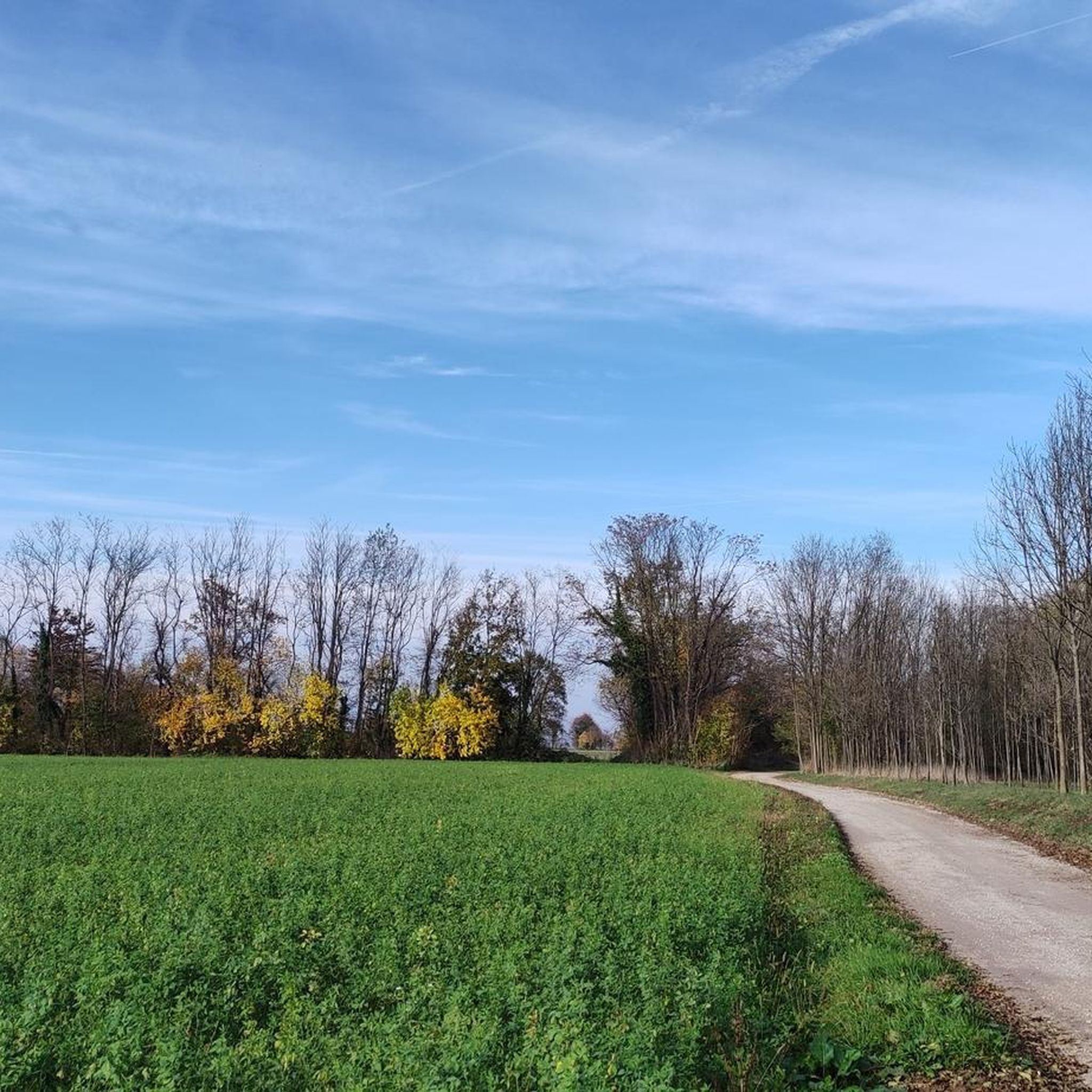
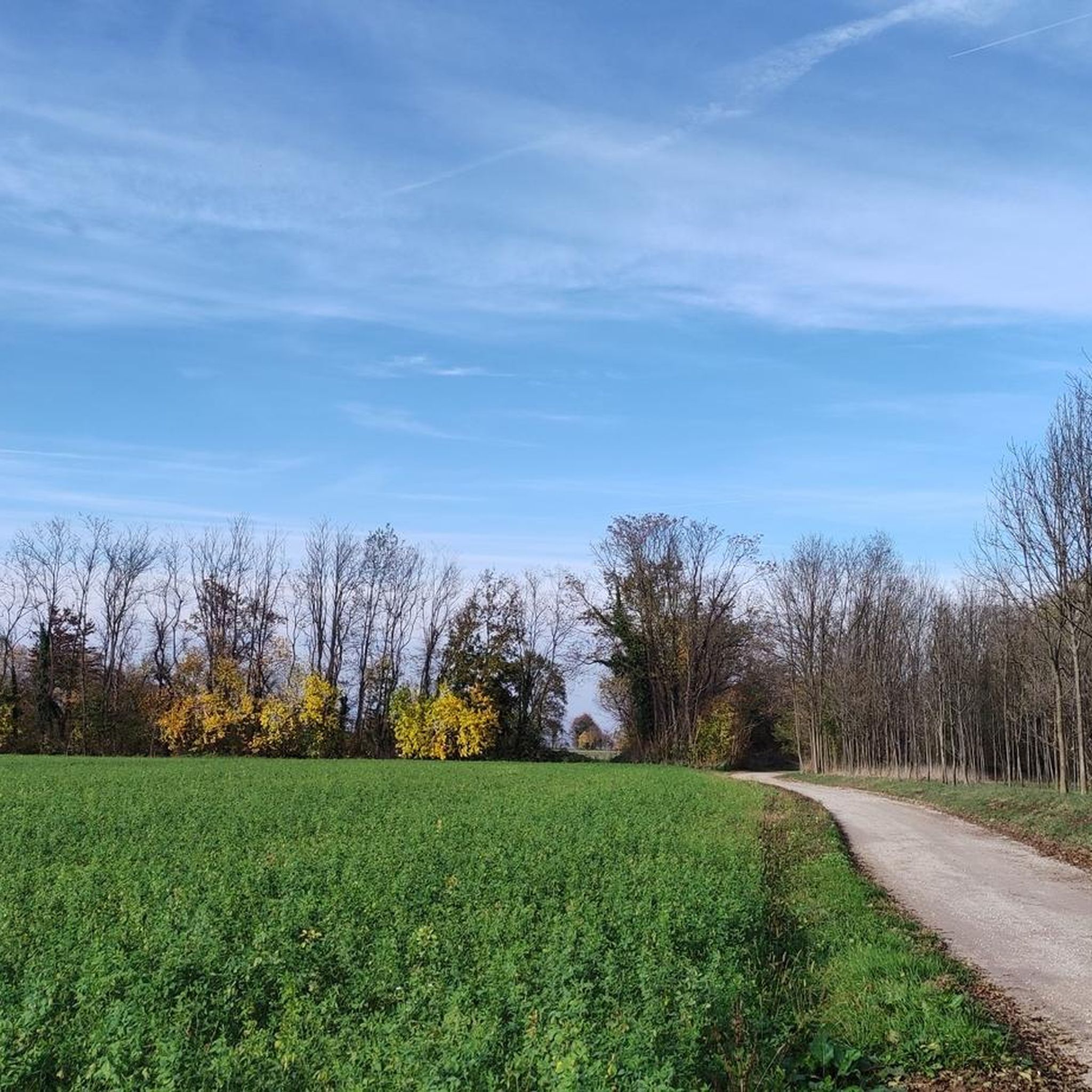
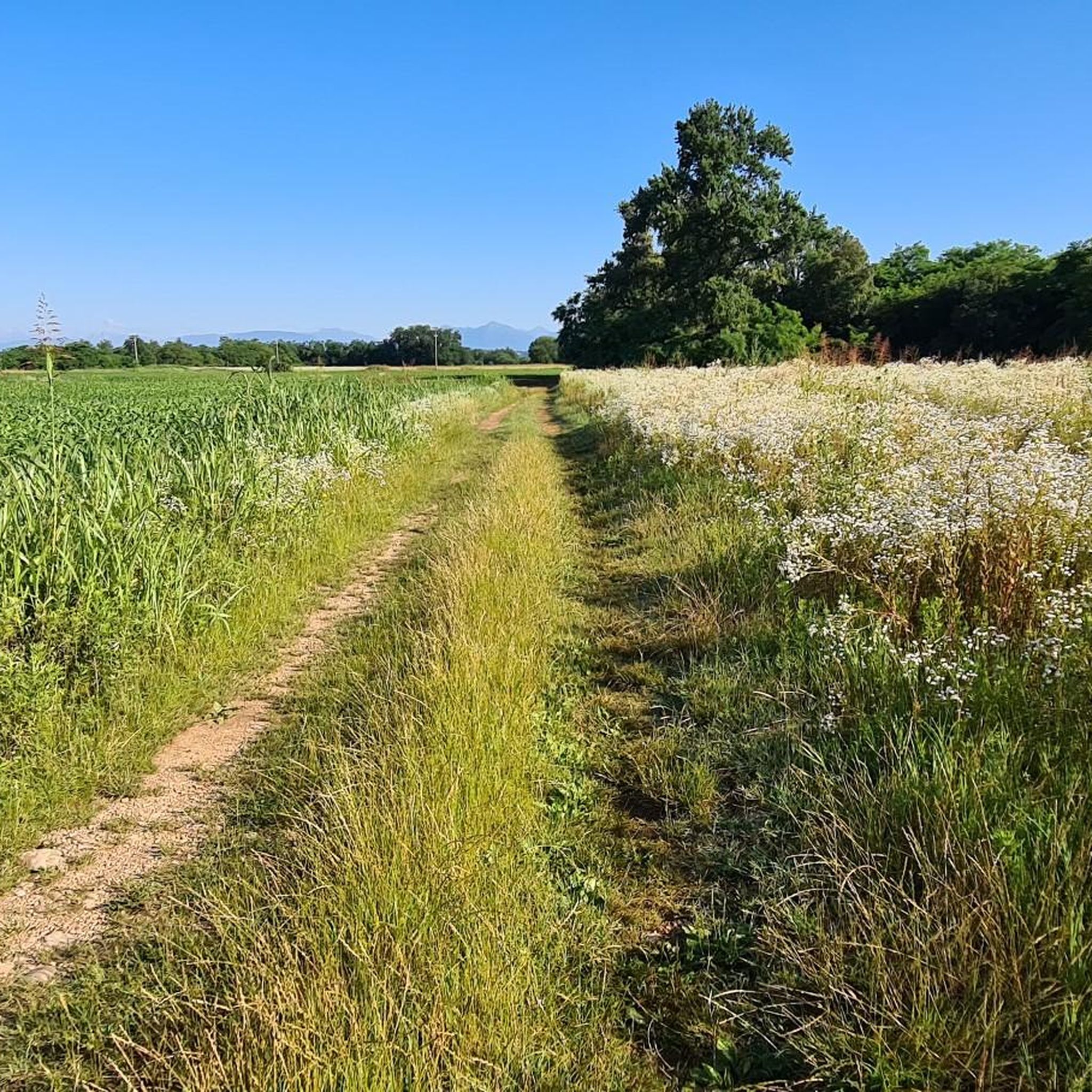
The peculiarity of this area is that you can combine the two parks north of Udine, del Beato Bertrando and del Cormor, into a special nature tour. With white roads and immersive single tracks.
0
0

A large, solitary oak tree in the middle of the meadows, perfect for a scenic stop. A recommended stop on an easy loop between Passons and Nogaredo di Prato, immersed in greenery and tranquility.
0
0

This place is really great
0
0

Often you enter some woods that offer a bit of refreshment
0
0
La Rôl del Navarúl: a monumental and splendid ultra-secular oak tree
0
0

Amazing place in every season... pure energy!
0
0

Small place worth visiting
2
0
Frequently Asked Questions
How many hiking trails are available in Pasian Di Prato?
Pasian Di Prato offers a good selection of routes for hikers, with over 25 trails available. These range from easy strolls to more moderate excursions, ensuring options for various fitness levels.
What kind of terrain and difficulty can I expect on hikes around Pasian Di Prato?
The terrain around Pasian Di Prato is generally flat, characterized by stable meadows and paths alongside rivers like the Cormor, and canals such as the Ledra and Lavia. Most routes are classified as easy, with 14 easy trails and 13 moderate trails. There is also one more challenging route for those seeking a greater workout.
Are there any easy hiking trails suitable for beginners or leisurely walks?
Yes, Pasian Di Prato is ideal for easy walks. Many trails are suitable for beginners or those looking for a leisurely experience. An excellent option is the Prati del Lavia loop from Pasian di Prato / Pasian di Prât, an easy 4.4 km route that explores local meadows and natural areas.
Can I find circular hiking routes in Pasian Di Prato?
Yes, many of the hiking routes in Pasian Di Prato are circular, offering convenient starting and ending points. For example, the The Great Oak of Bonavilla – Cross of Blessed Bernard loop from Bluenergy Stadium is an easy 6.1 km circular path that passes by notable local landmarks and green spaces.
Are the hiking trails in Pasian Di Prato suitable for families with children?
Absolutely. The generally flat terrain and numerous easy trails make Pasian Di Prato a great destination for family-friendly hikes. The scenic paths along rivers and through meadows provide a pleasant environment for children to explore safely.
Are dogs allowed on the hiking trails around Pasian Di Prato?
Yes, the natural landscapes and open spaces around Pasian Di Prato are generally welcoming for dogs. Many trails, especially those through meadows and along riverbanks, are suitable for walks with your canine companion. Please ensure dogs are kept under control and any local regulations regarding leashes are followed.
What natural features or landmarks can I see while hiking in Pasian Di Prato?
While hiking, you'll encounter the region's defining features: stable meadows, and waterways like the Cormor River and the Ledra and Lavia canals. You can also explore specific natural monuments such as the Lazzacco Peat Bog Nature Reserve or the Oasi dei Quadris Nature Reserve. For a touch of history, the The Tumbule of Foscjan is also nearby.
What is the best time of year to go hiking in Pasian Di Prato?
Pasian Di Prato offers pleasant hiking conditions for much of the year. Spring and autumn provide mild temperatures and beautiful scenery, ideal for exploring the meadows and waterways. Summer can also be enjoyable, especially along shaded river paths, though it can be warmer. Winter hikes are possible, but some paths might be less accessible depending on weather conditions.
Are there any longer or more challenging hikes for experienced hikers?
Yes, for those seeking a longer or more challenging experience, Pasian Di Prato offers options. The Cormor Park – Valle del Cormor loop from Bluenergy Stadium is a moderate 19.3 km trail that leads through riverine landscapes, typically taking around 5 hours to complete. There is also one route classified as difficult among the 28 available.
Where can I find parking for hiking trails in Pasian Di Prato?
While specific parking locations for every trailhead are not detailed, many routes in Pasian Di Prato, especially those starting from urban or park areas, will have designated parking facilities nearby. For routes originating from places like Bluenergy Stadium, parking is generally available.
Is public transport available to access hiking trails in Pasian Di Prato?
Pasian Di Prato is a municipality within Friuli-Venezia Giulia, and public transport options, including local buses, connect it to surrounding areas like Udine. It's advisable to check local bus schedules for specific routes that might provide access to trailheads or popular starting points.
What do other hikers say about the trails in Pasian Di Prato?
The hiking routes in Pasian Di Prato are highly regarded by the komoot community, holding an average rating of 4.3 stars from over 250 reviews. Hikers often praise the peaceful atmosphere, the well-maintained paths along the rivers and canals, and the opportunity to enjoy the region's stable meadows.
Most popular routes around Pasian Di Prato
Most popular attractions around Pasian Di Prato

Get inspired with the komoot mobile app


Explore more
Browse the best Hikes in other regions.
