The best walks and hikes around San Vito Al Torre
4.3
(594)
3,542
hikers
205
hikes
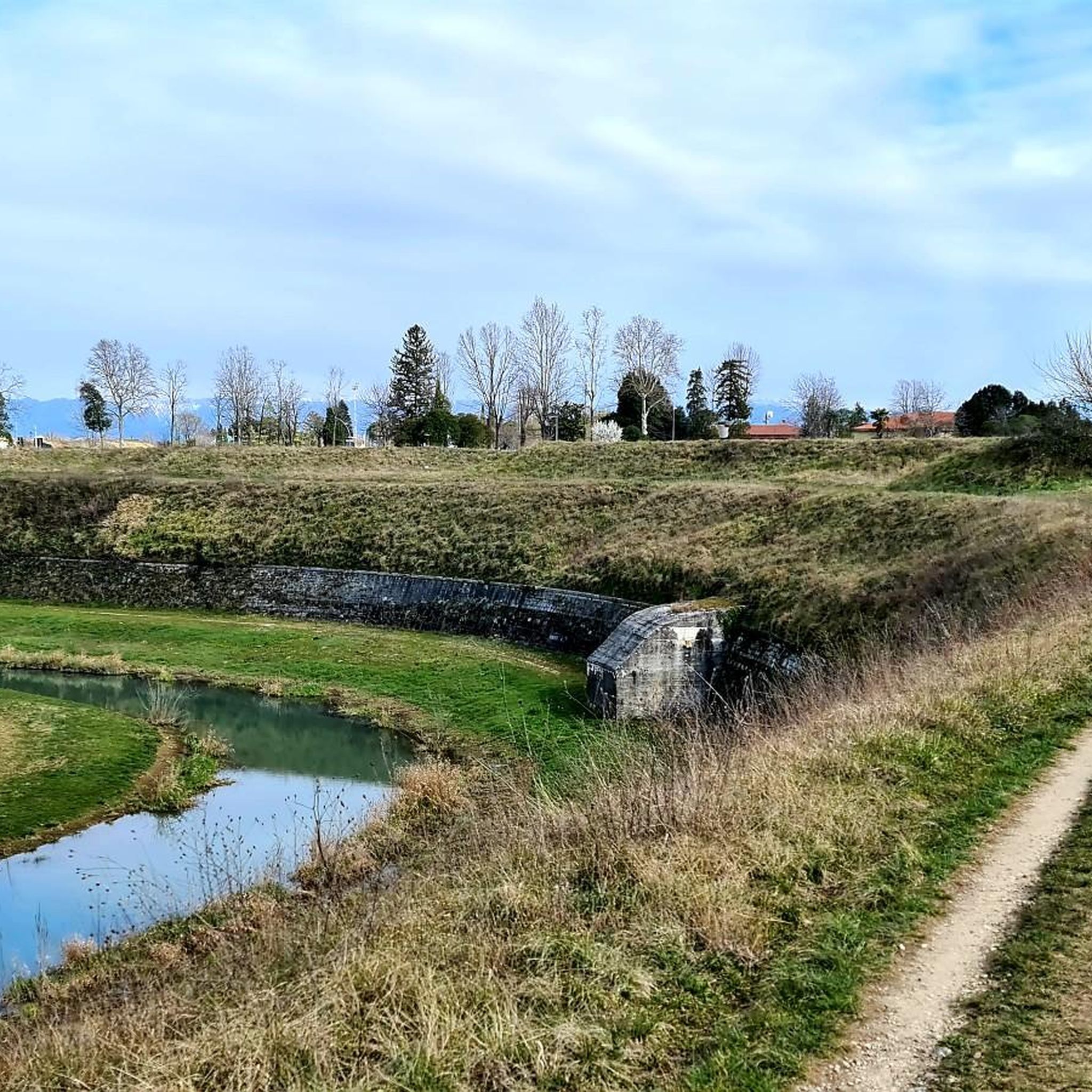
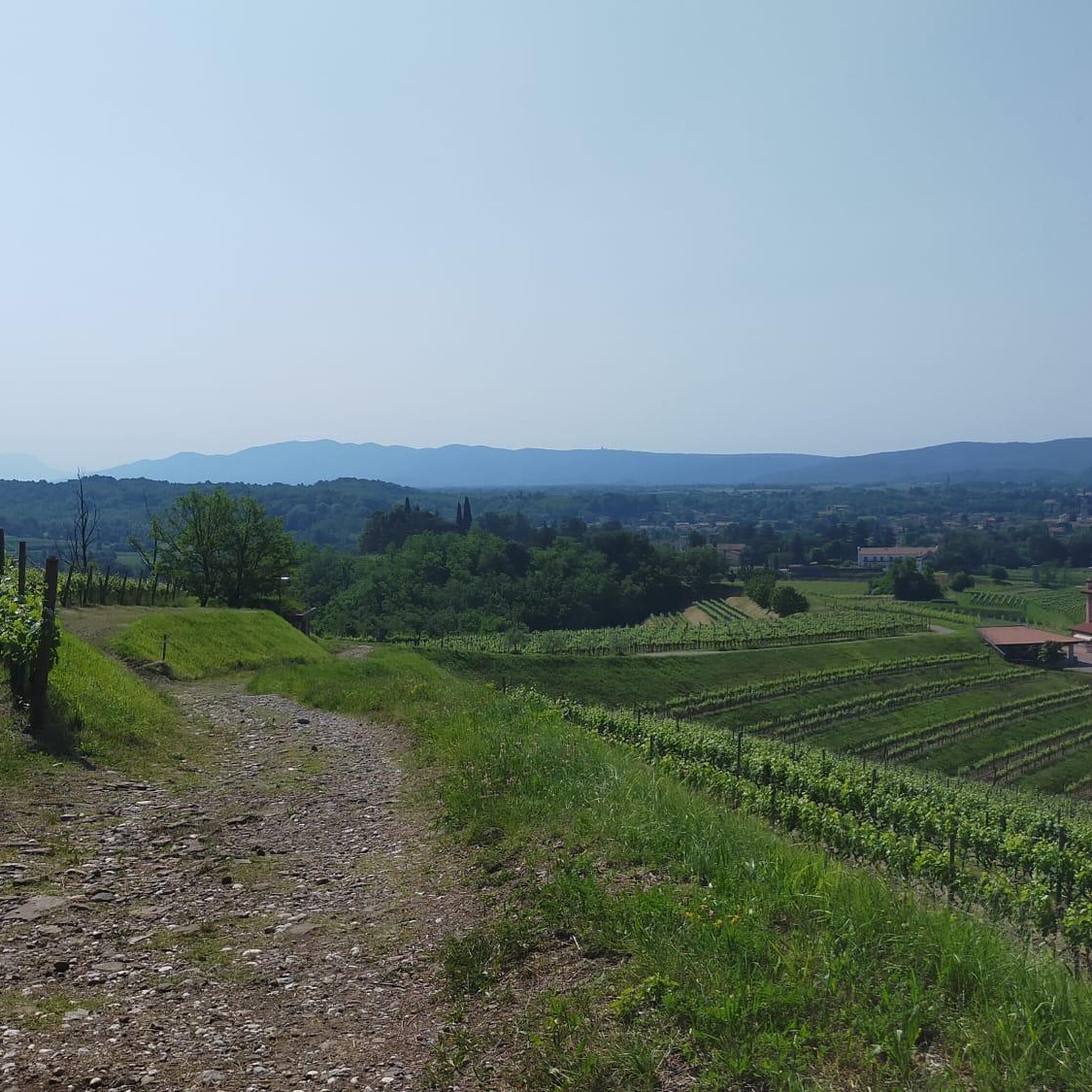
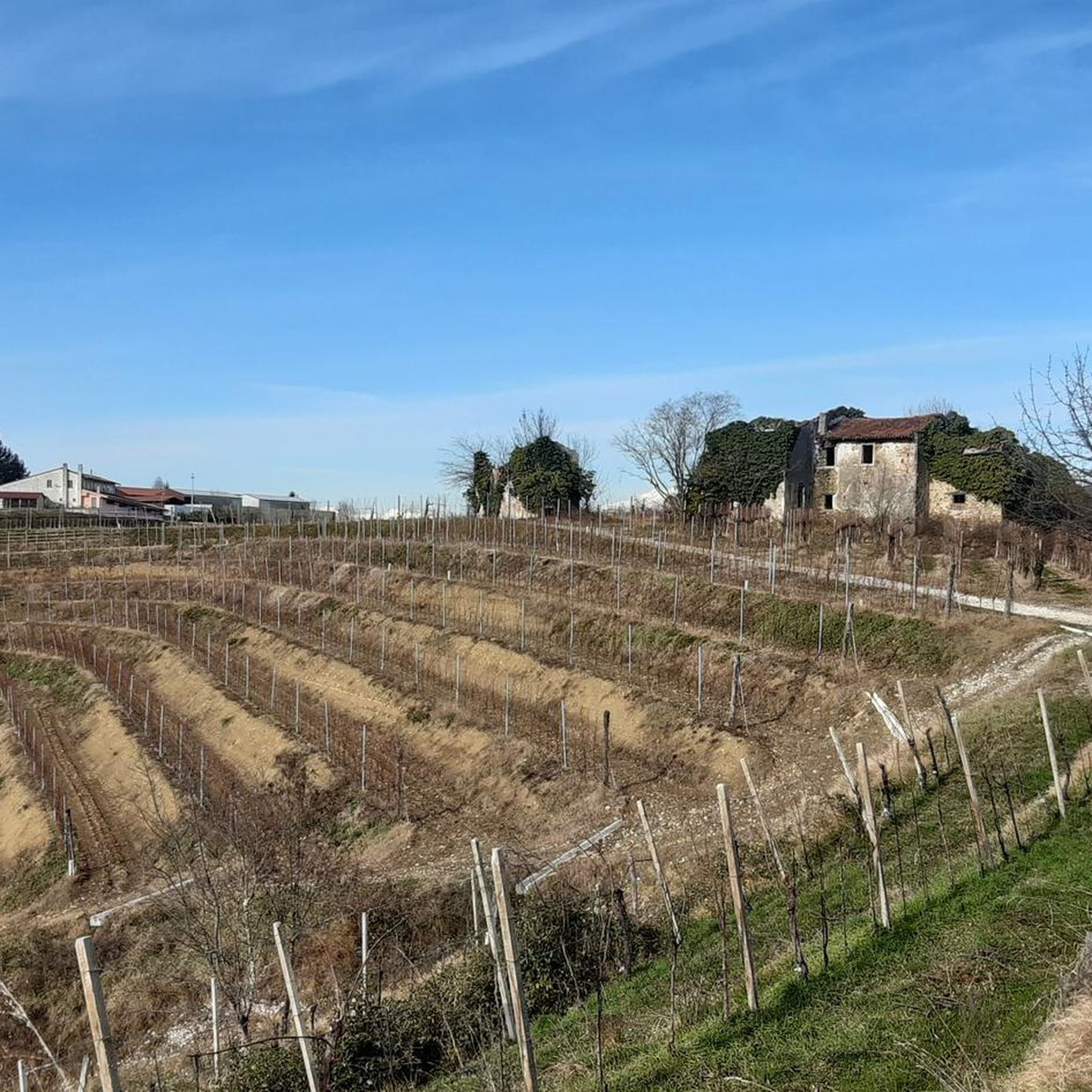
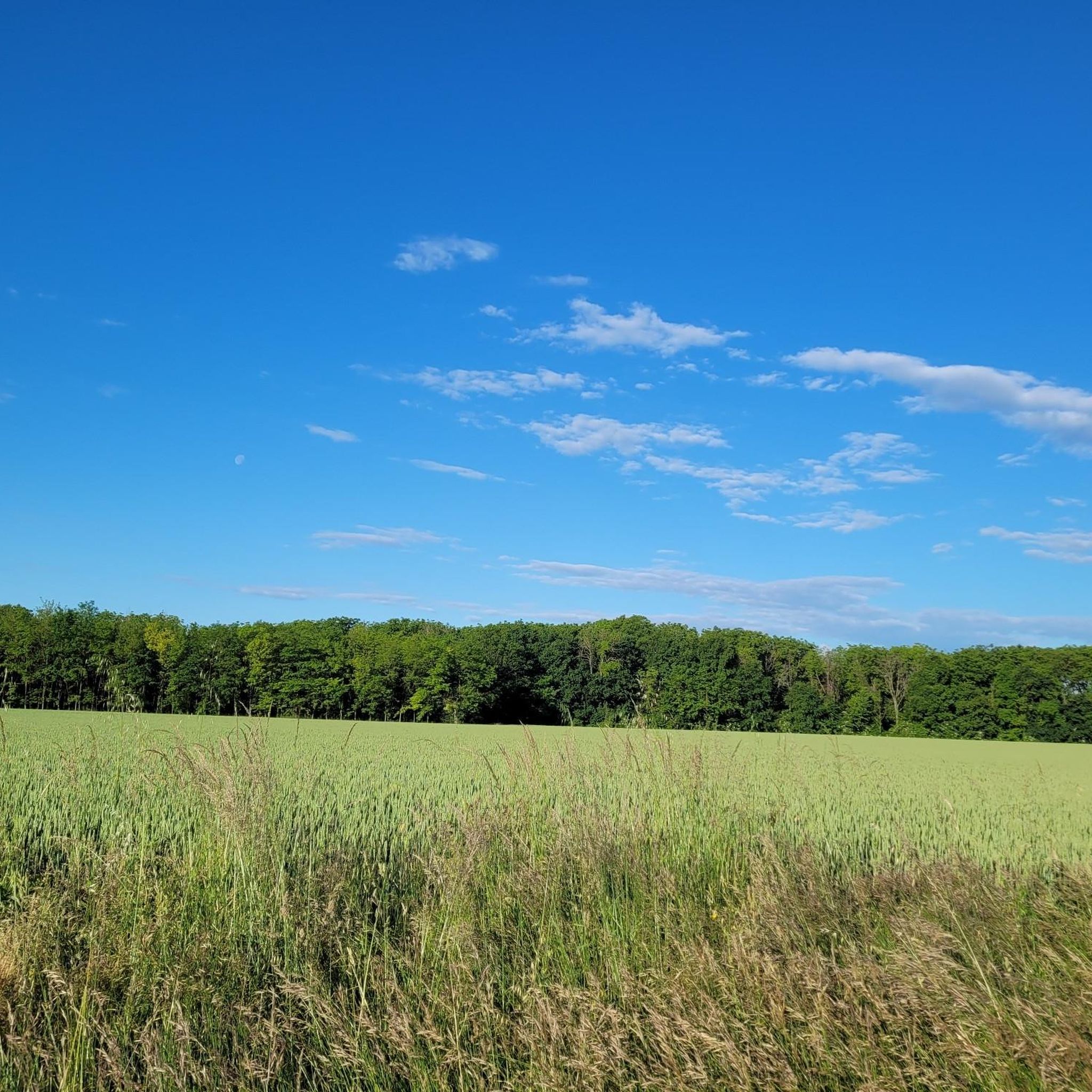
Hiking around San Vito Al Torre is primarily situated within the Friulian plain, characterized by agricultural land and low elevation. The immediate area offers countryside walks through open fields and vineyards. This region serves as a base for accessing diverse natural landscapes within Friuli-Venezia Giulia, including river valleys and the Julian Prealps. The terrain features rolling hills and varied elevations, providing options from leisurely strolls to more challenging ascents.
Best hiking trails around San Vito Al Torre
- The most popular…
Last updated: October 8, 2026
3.8
(5)
26
hikers
12.4km
03:08
20m
20m
Moderate hike. Good fitness required. Easily-accessible paths. Suitable for all skill levels.
5.0
(3)
14
hikers
27.8km
07:20
240m
240m
Hard hike. Very good fitness required. Easily-accessible paths. Suitable for all skill levels.

5.0
(1)
14
hikers
5.31km
01:30
120m
120m
Easy hike. Great for any fitness level. Easily-accessible paths. Suitable for all skill levels.
3.0
(1)
12
hikers
6.95km
01:45
10m
10m
Easy hike. Great for any fitness level. Easily-accessible paths. Suitable for all skill levels.
5.0
(1)
10
hikers
6.71km
01:42
10m
10m
Easy hike. Great for any fitness level. Easily-accessible paths. Suitable for all skill levels.
Get access to more routes and recommendations from other explorers.
Already have an account?
Our route recommendations are based on thousands of hikes, rides, and runs completed by other people on komoot.
Start today with a free account
Your next adventure awaits.
Tips from the Community

Duomo di San Adalberto: this is the largest church in Cormòns, whose origins date back to the 13th century.
1
0

The original 18th-century building was significantly remodeled after the damage from the Great War. Today it is also accessed via a beautiful staircase built in 1815.
0
0
The Ara Pacis Mundi monument is a temple dedicated to the memory of those fallen and lost in war.
0
0

Documented at least since 1274 as "Castrum Zazilet", but in all probability much older, the Saciletto castle, strategically positioned to control the ancient road that led from Aquileia to Cividale, was repeatedly contested between the patriarch and the counts of Gorizia due to its relevant strategic position for the patriarchal dominion in lower Friuli. Source: consorziocastelli.it
0
0

Novacco is a small settlement with a medieval character. It is also known for its ancient mills.
0
0
A fortified building has been documented at the castle site since 1263. It was purchased by the Patriarch of Aquileia in 1303 and destroyed in 1309. In 1491, the building was sold to Bernardino di Floriano Antonini, who had it converted into a residential building. At the beginning of the 20th century, Enrico Paolo Salem, who had acquired the building in 1923, had the core of the complex completely rebuilt in the Romanesque style. Today, it is fully restored and serves as a private residence. Source: Wikipedia
0
0

Bucolic, truly small village in the plain of lower Friuli.
1
0
beautiful castle in the lower Friuli
0
0
Frequently Asked Questions
What kind of terrain can I expect on hikes around San Vito al Torre?
The immediate area around San Vito al Torre is characterized by the Friulian plain, offering pleasant countryside walks through agricultural land and vineyards with low elevation. For more varied and challenging terrain, the wider Friuli-Venezia Giulia region, including the Julian Prealps and Dolomiti Friulane Natural Park, is easily accessible and features mountainous landscapes and river valleys.
Are there many hiking trails available in the San Vito al Torre area?
Yes, there are over 180 hiking trails around San Vito al Torre. These range from easy strolls through the plains to more challenging treks in the nearby regional parks, catering to various fitness levels.
Are there any easy, family-friendly hikes near San Vito al Torre?
Absolutely. Many trails in the immediate vicinity are suitable for families. An easy option is the Church of Saint Anthony – Ara Pacis Mundi Memorial loop from Medea, which is about 5.3 km long and takes around 1 hour 30 minutes, leading past historical landmarks.
Can I find circular walks around San Vito al Torre?
Yes, many of the routes in the area are circular, allowing you to start and end at the same point. For example, the Open Fields With Hay Bales loop from Aiello del Friuli / Dael is an easy 6.9 km circular trail that takes about 1 hour 45 minutes through open fields.
What are the best times of year to go hiking in San Vito al Torre?
Spring and autumn generally offer the most pleasant hiking conditions in the Friulian plain, with mild temperatures and vibrant landscapes. Summer can be warm, but the proximity to mountainous regions provides cooler options. Winter hiking is possible, especially on the lower elevation trails, though conditions can vary.
What interesting landmarks or attractions can I see while hiking?
While hiking in the region, you can encounter historical sites and natural features. For instance, the local area offers views of Castello di Saciletto. Further afield, you can explore places like Palmanova, a unique star-fortified town, or the Udine Gate. The Julian Prealps also feature mountain refuges.
Are dogs allowed on the hiking trails?
Generally, dogs are welcome on hiking trails in the San Vito al Torre area and the wider Friuli-Venezia Giulia region. However, it's always advisable to keep them on a leash, especially in nature reserves or areas with livestock, and to check specific park regulations if venturing into protected areas like the Julian Prealps Regional Nature Park.
What do other hikers say about the trails in San Vito al Torre?
The hiking trails around San Vito al Torre are highly regarded by the komoot community, with an average rating of 4.4 stars from over 400 reviews. Hikers often praise the peaceful countryside, the well-maintained paths through vineyards and fields, and the accessibility to more diverse regional landscapes.
Are there any challenging hikes for experienced hikers?
While the immediate San Vito al Torre area offers mostly easy to moderate trails, more challenging options are available a short distance away. The Julian Prealps Regional Nature Park and the hike to Monte Nabois provide strenuous routes with significant elevation gain and spectacular mountain views for experienced hikers.
Is public transport available to reach hiking trailheads?
Public transport options exist within the Friuli-Venezia Giulia region, connecting towns and villages. However, direct access to all trailheads, especially those in more remote natural parks, might be limited. It's recommended to check local bus schedules or consider driving to reach specific starting points for mountain treks.
Are there any specific natural features to look out for?
The local trails often traverse open fields and vineyards, offering scenic views of the agricultural landscape. The region is also defined by its proximity to the Torre River, which flows from the Julian Prealps, and the diverse ecosystems found within the nearby Julian Prealps Regional Nature Park and Dolomiti Friulane Natural Park, which boast broad valleys, ridges, and iconic rock formations.
Most popular routes around San Vito Al Torre
Most popular attractions around San Vito Al Torre

Get inspired with the komoot mobile app


Explore more
Browse the best Hikes in other regions.
