The best mountain hikes around Tramonti Di Sotto
5.0
(4)
31
hikers
2
hikes
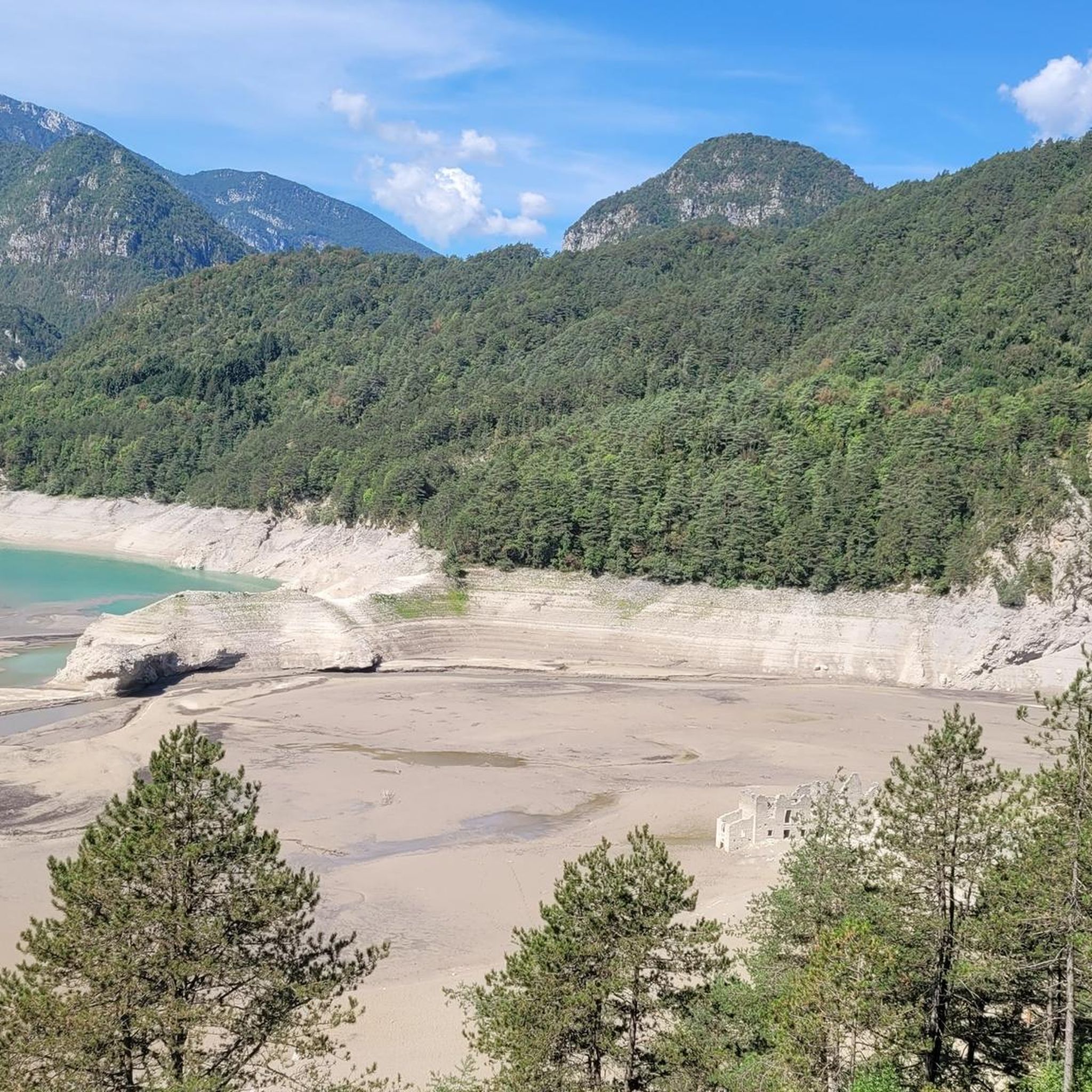
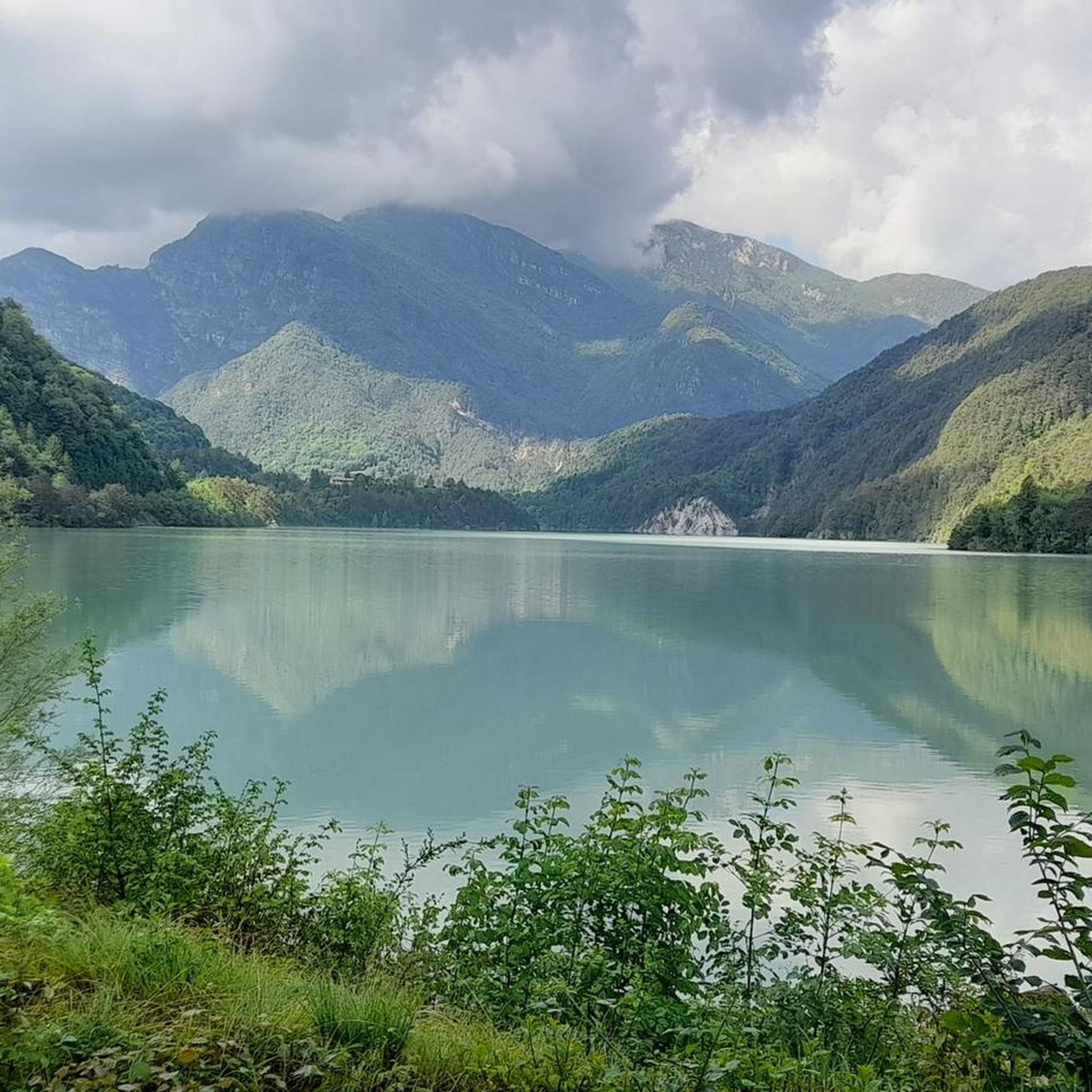
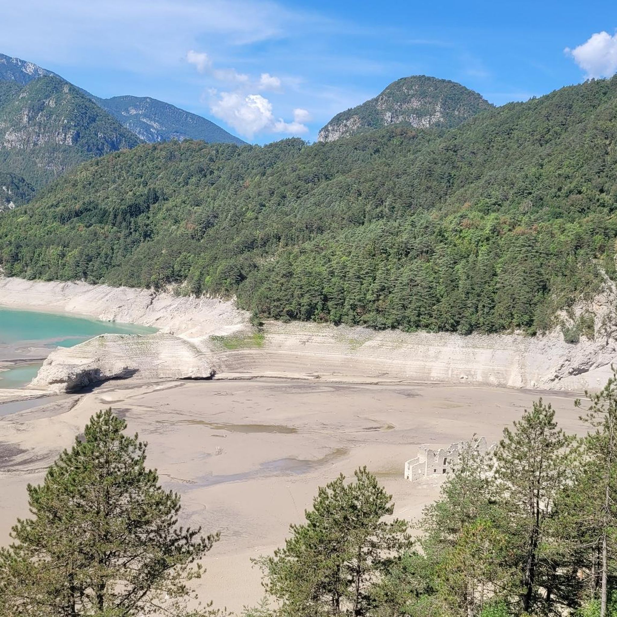
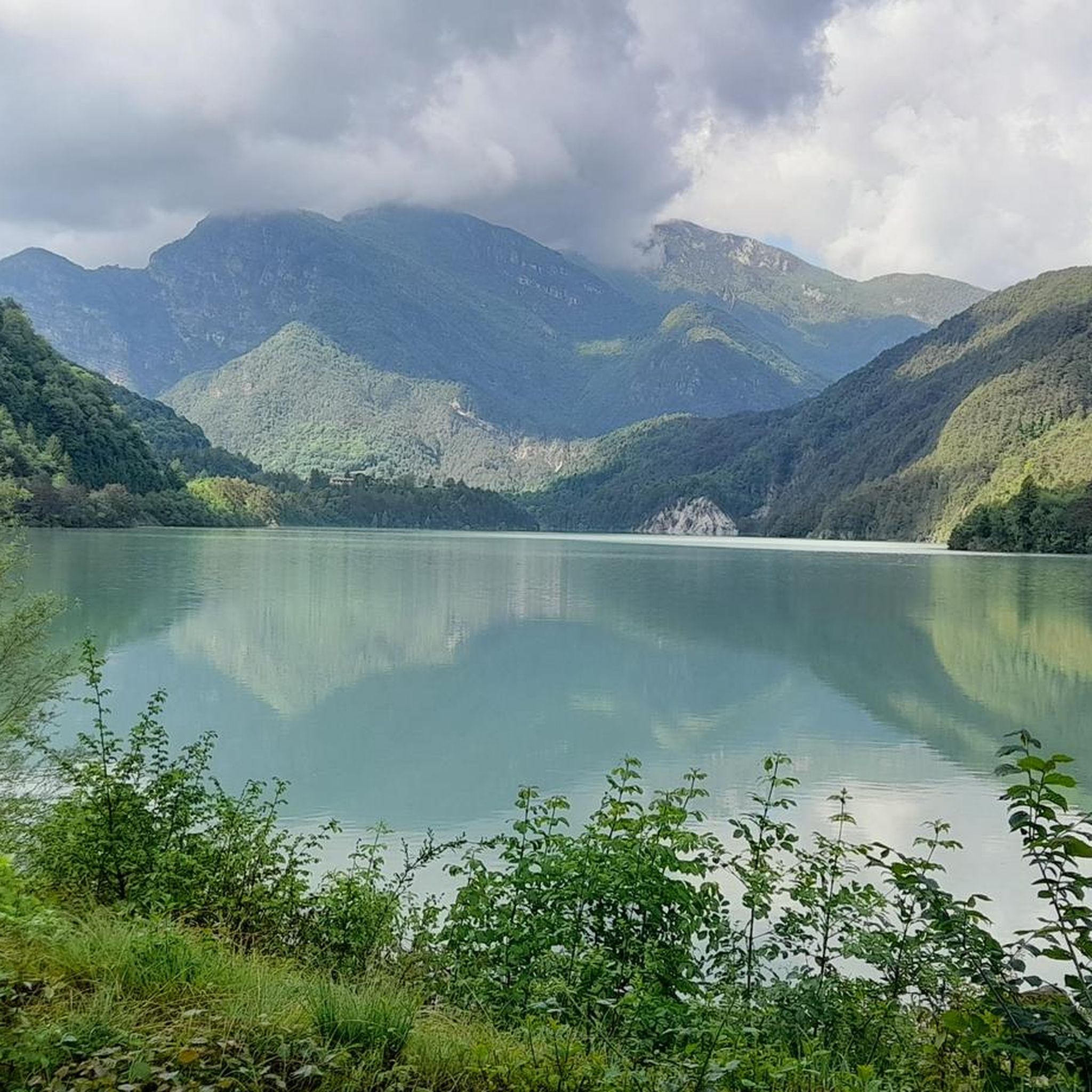
Mountaineering around Tramonti Di Sotto offers access to the rugged landscapes of the Carnic Prealps, characterized by dramatic mountain backdrops, dense forests, and clear waterways. The region features prominent peaks such as Monte Celant, Monte Valinis, and Monte Fara, providing extensive panoramic views. These mountainous reliefs, combined with the emerald green Meduna River and Lake Redona, create a diverse environment for challenging ascents. The area is part of the Parco Naturale delle Dolomiti Friulane, ensuring a pristine natural setting for…
Last updated: October 8, 2026
5.0
(3)
23
hikers
3.39km
01:48
280m
280m
Hard mountaineering route. Great for any fitness level. Sure-footedness, sturdy shoes and alpine experience required.
6
hikers
9.64km
05:12
890m
900m
Hard mountaineering route. Very good fitness required. Sure-footedness, sturdy shoes and alpine experience required.

5.0
(1)
2
hikers
5.33km
03:12
590m
590m
Hard mountaineering route. Good fitness required. Sure-footedness, sturdy shoes and alpine experience required.
Our route recommendations are based on thousands of hikes, rides, and runs completed by other people on komoot.
Start today with a free account
Your next adventure awaits.
Tips from the Community

Sella Chianzutan is a pass in the Carnic Prealps at around 950 meters above sea level. It can be reached from both San Francesco and Tolmezzo: the latter is the toughest side, although the gradients rarely exceed 10%. Between 2010 and 2020, it was tackled three times by the Giro d'Italia: the first to pass through here were Ludovic Turpin, Sebastian Henao and Giovanni Visconti.
0
0

Never too steep or busy the Sella Chianzutan rewards cyclists with a nice view at the top. Most of the climb coming from Tolmezzo is spent in the forest, which means few views on the surrounding mountains but also cooling shade. The descent towards Pozzis (and further to San Francesco) allows for incredible speeds!
0
0

A beautiful route, little traffic.
0
1

I particularly liked this climb.
17
1

At the top of the "Sella Chianzutan" pass there is a real sculpture park that invites you to linger and look at art. You can also see relics from past snowy winters of the former ski area.
2
0


A peak from which you can observe a wonderful view of the Carnic Alps.
1
0

Now that they've reopened the bar, it's worth at least one ride a year. The climb isn't very hard, and as the following video shows (from minute 4.00 onwards) it's doable even in winter. I took a bit too much risk on the subsequent descent towards Verzegnis. Next time I'll bring some cable ties to wrap around the tires to increase grip. https://youtu.be/knZ6s1dfL4c
2
0
Frequently Asked Questions
What kind of mountaineering routes can I expect in Tramonti Di Sotto?
Tramonti Di Sotto offers challenging mountaineering routes, primarily catering to experienced mountaineers. The terrain is rugged, featuring prominent peaks, dense forests, and significant elevation gains. You'll find routes like the Monte Raut – Forcella Capra loop, which involves over 1000 meters of ascent.
Are there any via ferrata routes in the Tramonti Di Sotto area?
Yes, the region includes via ferrata options. A notable route is the Farina del Diavolo via ferrata loop from Villa Santina. This route is classified as difficult and features technical sections and exposed terrain typical of a via ferrata.
What are the typical durations for mountaineering routes here?
Mountaineering routes in Tramonti Di Sotto vary in length and duration. For example, the Monte Verzegnis Summit Stele loop typically takes around 5 hours and 10 minutes to complete, covering about 9.5 kilometers. Shorter, more technical routes like the Farina del Diavolo via ferrata loop can be completed in under 2 hours.
Are there any circular mountaineering routes available?
Yes, several mountaineering routes in Tramonti Di Sotto are circular. Examples include the Monte Raut – Forcella Capra loop and the Monte Verzegnis Summit Stele loop, both offering a return to the starting point.
What natural attractions can I see near the mountaineering routes?
The region is rich in natural beauty. You can find stunning lakes such as Lake Tramonti and Lake Verzegnis. The area also features dramatic canyons and waterfalls, including the Butines Waterfalls and the Grotte di Pradis (caves).
What do other mountaineers say about the routes in Tramonti Di Sotto?
The mountaineering routes in Tramonti Di Sotto are highly rated by the komoot community, with an average score of 4.8 stars from over 10 reviews. Mountaineers often praise the rugged reliefs, prominent peaks, and the challenging ascents that define the experience in this pristine natural setting.
Is public transport available to reach the trailheads?
While specific public transport options directly to all trailheads might be limited due to the mountainous and rural nature of Tramonti Di Sotto, the broader Friuli-Venezia Giulia region has some bus services. It's advisable to check local bus schedules for connections to towns near the starting points of your chosen routes.
Are there any specific parking areas for mountaineering trails?
Parking availability varies by trailhead. For routes like the Monte Raut – Forcella Capra loop, you would typically start from areas like Forcella di Pala Barzana, where roadside parking or small designated areas might be available. It's recommended to research specific starting points for parking details.
What is the best season for mountaineering in Tramonti Di Sotto?
The best season for mountaineering in Tramonti Di Sotto is generally from late spring to early autumn (May to October), when weather conditions are more stable and snow has melted from higher elevations. Always check local weather forecasts and trail conditions before heading out, especially during shoulder seasons.
Are there any cafes or pubs near the mountaineering trails for refreshments?
Tramonti Di Sotto is a small municipality, and while direct trailside cafes might be scarce, you can find local establishments in the main village or nearby towns within Val Tramontina. These offer opportunities for refreshments and local cuisine after your mountaineering adventure.
What kind of wildlife and flora can I expect to see?
As part of the Parco Naturale delle Dolomiti Friulane, the area boasts diverse wildlife and flora. You can expect to encounter typical alpine and forest species. The pristine natural setting ensures a rich biodiversity, though specific sightings depend on the season and your chosen route.
Most popular routes around Tramonti Di Sotto
Most popular attractions around Tramonti Di Sotto

Get inspired with the komoot mobile app


Explore more
Browse the best Mountain Hikes & Routes in other regions.
