The best mountain hikes around Tramonti Di Sopra
4.1
(6)
31
hikers
4
hikes
Mountaineering routes around Tramonti Di Sopra are set within the stunning Friulian Dolomites Natural Park, a UNESCO World Heritage site known for its exceptional geological importance and wild beauty. The region is characterized by the Carnic Prealps, featuring dramatic karst topography with sharp peaks, vertical walls, and deep alpine valleys. This area offers a truly immersive natural experience, with towering Dolomite peaks framing the landscape and rivers like the Meduna contributing to diverse terrain. The challenging alpine environment requires good fitness and sure-footedness, providing a traditional mountaineering experience.
Best mountaineering routes around Tramonti Di Sopra
- The most popular mountaineering route is Monte Raut – Forcella Capra loop from Forcella di Pala Barzana, a 5.6 miles (9.0 km) difficult trail that takes about 5 hours 59 minutes to complete, offering significant elevation gain and panoramic views.
- Another top favourite among local mountaineers is Mountaineering loop from Forni di Sopra / For Disora, a moderate 5.6 miles (9.0 km) path. This route provides a rewarding journey through the alpine landscape, suitable for those with some experience.
- Local mountaineers also love the Rifugio Pradut loop from Lesis, a 7.4 miles (11.9 km) trail leading through varied terrain, often completed in about 4 hours 23 minutes, with a mountain hut offering a scenic break.
- Mountaineering around Tramonti Di Sopra is defined by dramatic Dolomite peaks, karst formations, and pristine alpine valleys. The network offers options for different ability levels, from moderate ascents to more challenging climbs.
- The routes in Tramonti Di Sopra are highly rated by the komoot community with an average score of 4.4 stars from over 9 reviews. More than 40 mountaineers have used komoot to explore Tramonti Di Sopra's varied terrain.
Last updated: August 28, 2026
3.0
(1)
8
hikers
11.8km
04:22
790m
790m
Moderate mountaineering route. Good fitness required. Easily-accessible paths. Suitable for all skill levels.
4.5
(2)
8
hikers
10.1km
05:04
830m
830m
Hard mountaineering route. Very good fitness required. Sure-footedness, sturdy shoes and alpine experience required.

Sign up for free
4.0
(1)
6
hikers
10.6km
04:31
670m
670m
Hard mountaineering route. Good fitness required. Sure-footedness, sturdy shoes and alpine experience required.
5.0
(2)
3
hikers
6.53km
02:21
370m
370m
Moderate mountaineering route. Good fitness required. Easily-accessible paths. Suitable for all skill levels.
6
hikers
9.63km
05:12
890m
900m
Hard mountaineering route. Very good fitness required. Sure-footedness, sturdy shoes and alpine experience required.
Our route recommendations are based on thousands of hikes, rides, and runs completed by other people on komoot.
Start today with a free account
Your next adventure awaits.
Login or Signup
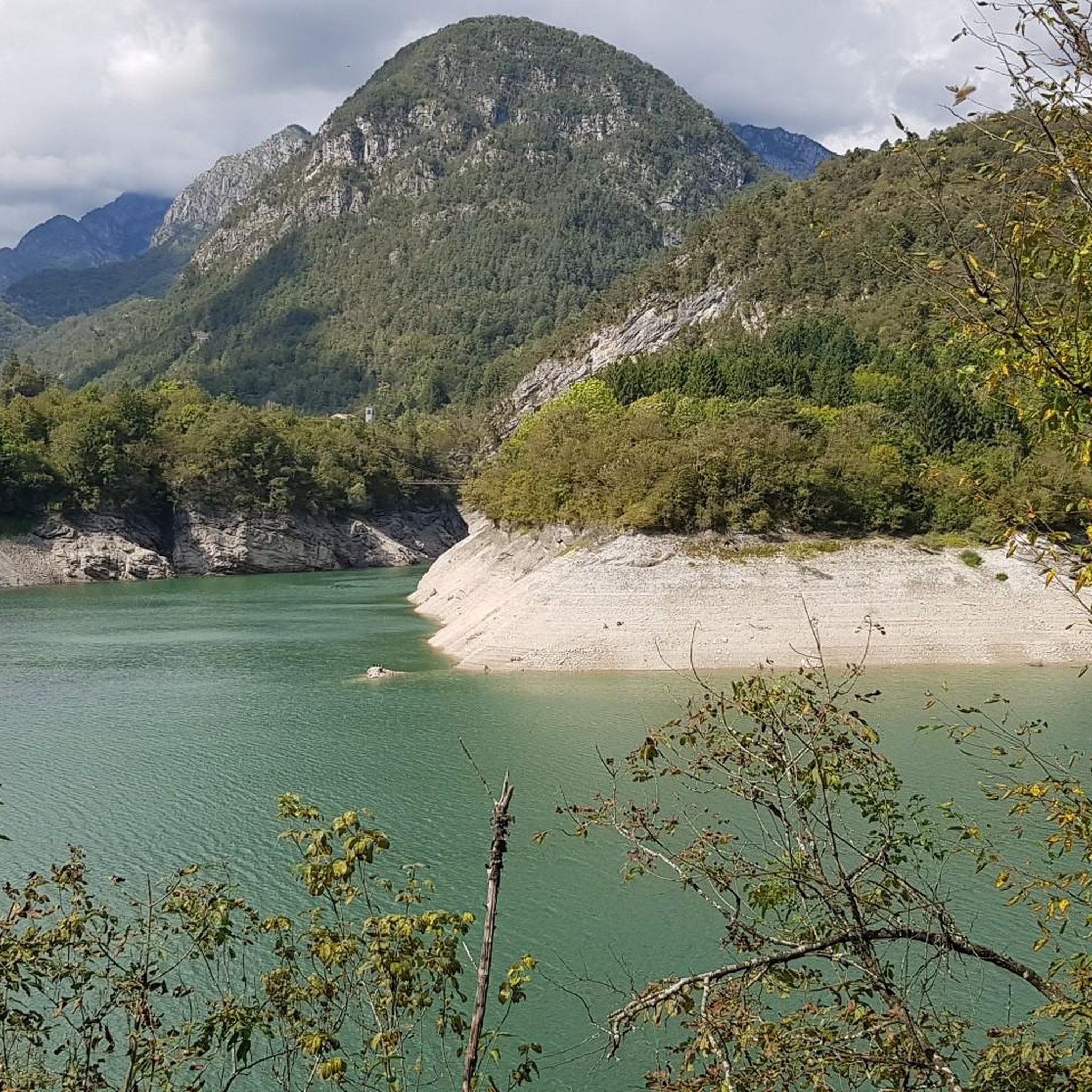
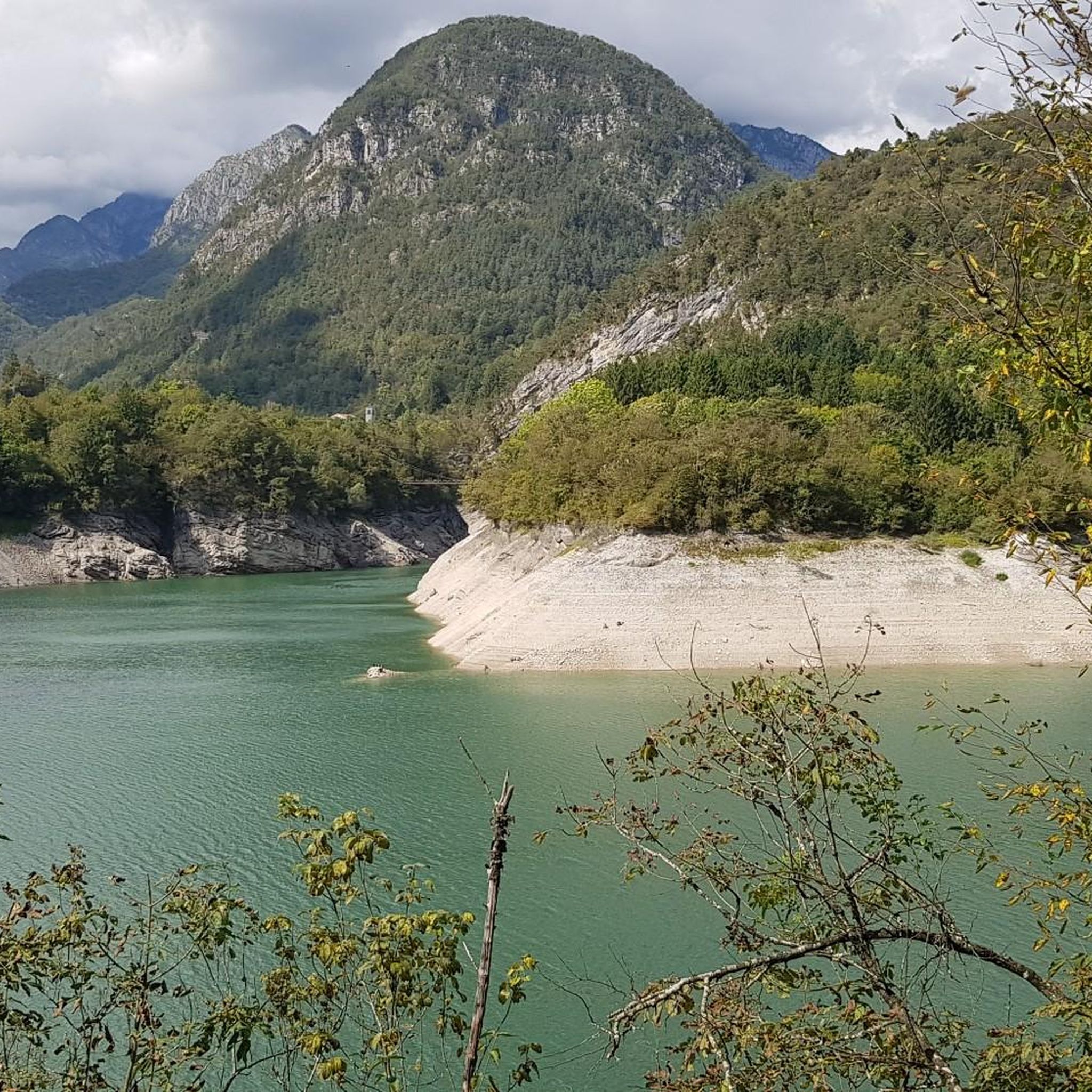
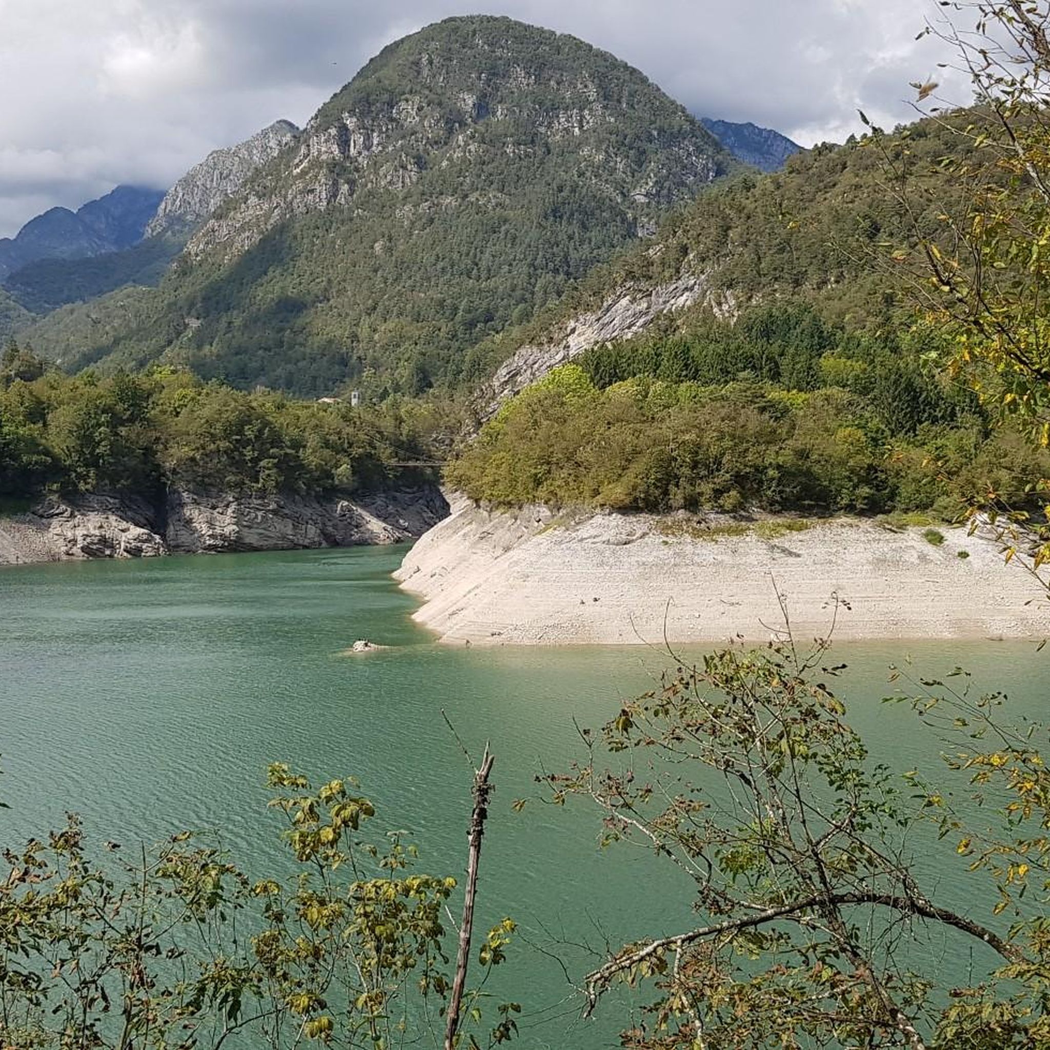
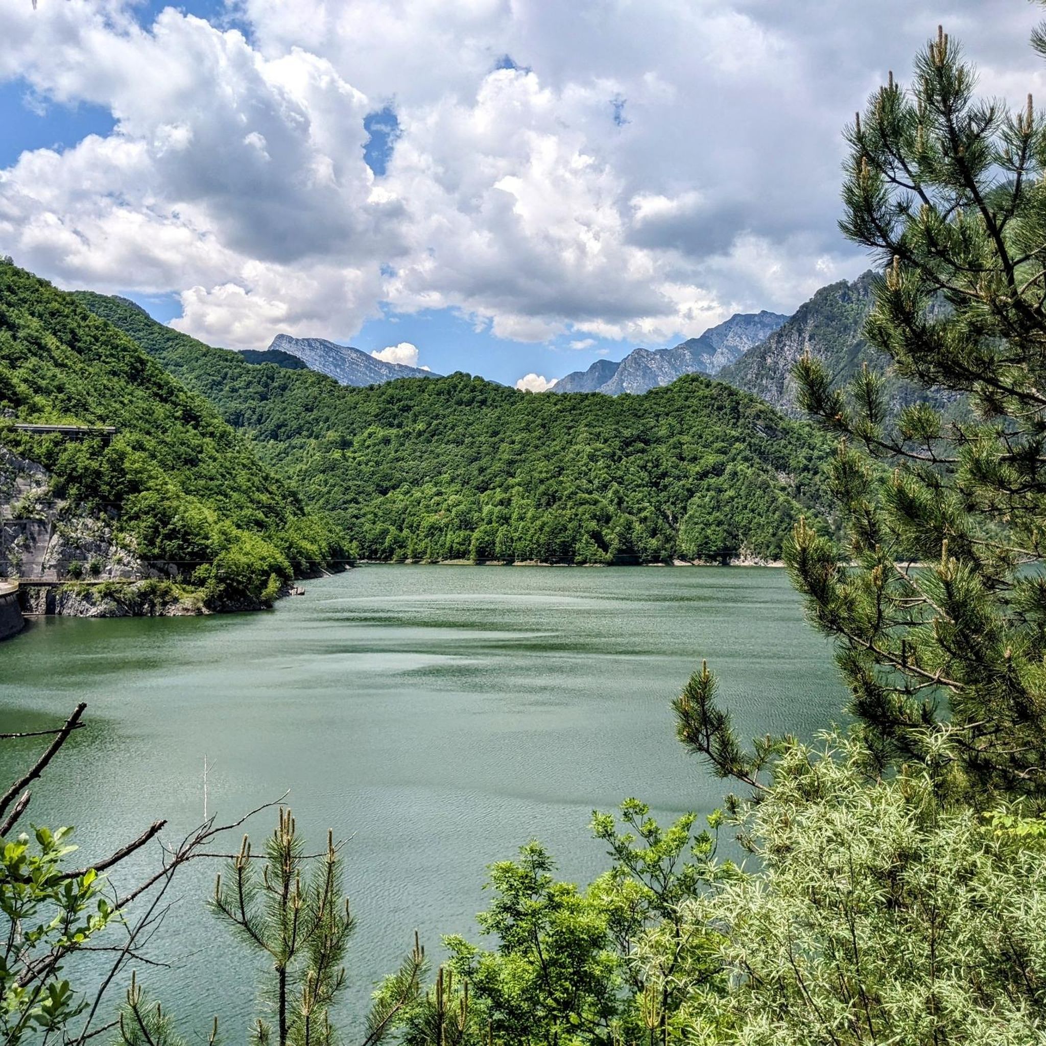
Tips from the Community

The Rifugio Pradut, at 1,450 m, is open all year round depending on weather conditions, offers typical local cuisine and overnight accommodation for hikers. Excellent starting point for ascents to Cimon del Pradut. For up-to-date information: https://www.facebook.com/angelograva.pradut/
2
0

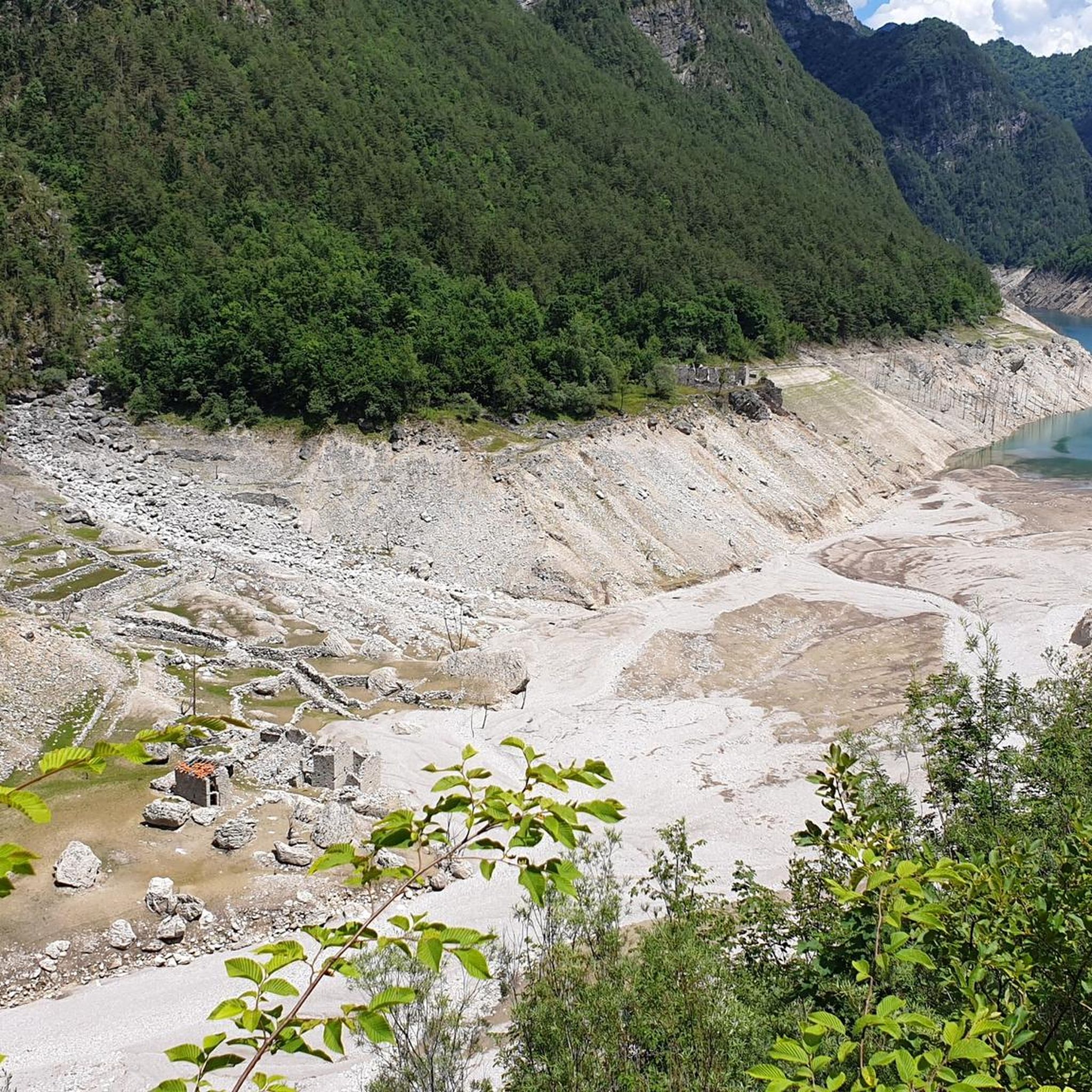
The little bridge leads to the hamlet of Lesis
0
0

From the top you can enjoy a beautiful view, from a particular perspective on Claut.
0
1

Sella Chianzutan is a pass in the Carnic Prealps at around 950 meters above sea level. It can be reached from both San Francesco and Tolmezzo: the latter is the toughest side, although the gradients rarely exceed 10%. Between 2010 and 2020, it was tackled three times by the Giro d'Italia: the first to pass through here were Ludovic Turpin, Sebastian Henao and Giovanni Visconti.
0
0

Never too steep or busy the Sella Chianzutan rewards cyclists with a nice view at the top. Most of the climb coming from Tolmezzo is spent in the forest, which means few views on the surrounding mountains but also cooling shade. The descent towards Pozzis (and further to San Francesco) allows for incredible speeds!
0
0

Beautiful refuge, tastefully restored structure. Insane panorama on the valley below. Perfect for a stop or as a base.
2
0

A beautiful route, little traffic.
0
1

https://youtu.be/FeI1BWxqkYI. The most beautiful balcony in the Province of Pordenone
0
0
Frequently Asked Questions
How many mountaineering routes are available in Tramonti Di Sopra?
There are 5 mountaineering routes around Tramonti Di Sopra, offering a range of experiences within the Friulian Dolomites Natural Park.
What kind of terrain can I expect on mountaineering routes in Tramonti Di Sopra?
The region is characterized by the Carnic Prealps, featuring dramatic karst topography with sharp peaks, vertical walls, and deep alpine valleys. You'll encounter challenging alpine environments that require good fitness and sure-footedness.
Are there any moderate mountaineering routes for those with some experience?
Yes, there are moderate options available. For example, the Mountaineering loop from Forni di Sopra / For Disora is a rewarding journey through the alpine landscape, and the Rifugio Pradut loop from Lesis leads through varied terrain, often completed in about 4 hours 23 minutes, with a mountain hut offering a scenic break.
What are some challenging mountaineering routes in the area?
For those seeking a challenge, the Monte Raut – Forcella Capra loop from Forcella di Pala Barzana is a difficult trail that takes about 5 hours 59 minutes to complete, offering significant elevation gain and panoramic views. Other difficult routes include Cima Val Tremuoia – Cima dei Fager loop from Claut / Cjolt and Wooden Shelter loop from Rifugio Tita Piaz.
Are there any circular mountaineering routes in Tramonti Di Sopra?
Yes, all the mountaineering routes listed for Tramonti Di Sopra are circular. Examples include the Monte Raut – Forcella Capra loop from Forcella di Pala Barzana and the Mountaineering loop from Forni di Sopra / For Disora.
What natural features or landmarks can I see while mountaineering in Tramonti Di Sopra?
The region is rich in natural beauty. You can explore the stunning mountainous terrain, unique rock formations like the 'Aquila del Frascola', and various water bodies including the artificial lakes of Tramonti, Selva, Ciul, and Redona. The natural swimming spots of Pozze Smeraldine are also a highlight. Notable viewpoints include the First Viewpoint (Skywalk del Dint) and the Mount Valinis Summit.
What do other mountaineers enjoy most about the routes in Tramonti Di Sopra?
The mountaineering routes in Tramonti Di Sopra are highly rated by the komoot community, with an average score of 4.4 stars from over 9 reviews. Mountaineers often praise the dramatic Dolomite peaks, karst formations, and pristine alpine valleys that define the area, offering a truly immersive natural experience.
Are there any historical sites or points of interest near the mountaineering trails?
Yes, the region has historical significance. The Clautana Pass features a plaque from the eighth Alpine regiment from 1917, and the 'Alpini Cross' on Mount Valinis Summit commemorates the Valmeduna Alpini Group. You can also find several castles in the broader area, such as Toppo Castle and Ceconi Castle.
What is the best time of year for mountaineering in Tramonti Di Sopra?
While specific routes like the 'Strada delle fornaci' are accessible year-round, treks to Mount Rest and Casera Chiampis are typically enjoyed from March to October. The summer months are ideal for activities like canyoning in the Meduna, Silisia, Ru de Rusbet, and Viellia streams, and the Pozze Smeraldine are perfect for natural swimming.
Are there opportunities for other outdoor activities besides mountaineering in the region?
Absolutely. Beyond mountaineering, the area is excellent for hiking and trekking, canyoning in the summer, and snowshoeing in winter. Fishing, particularly fly-fishing for trout in the Meduna area, is also a popular activity.
Most popular routes around Tramonti Di Sopra
Most popular attractions around Tramonti Di Sopra

Get inspired with the komoot mobile app


Explore more
Browse the best Mountain Hikes & Routes in other regions.
