The best MTB trails around Unterammergau
4.4
(2903)
13,224
riders
10
rides
Mountain biking around Unterammergau offers diverse landscapes within the Ammergau Alps Nature Park, featuring a mix of dense forests, rugged mountains, and extensive moorlands. The region is characterized by the Ammertal Valley, which provides scenic routes along the Ammer River. Terrain ranges from gentle paths through meadows to more challenging ascents in the foothills of the Alps.
Best mountain bike trails in Unterammergau
- The most popular mountain bike trail is View of Pürschlinghaus – View of the Ammertal Valley loop…
Last updated: August 17, 2026
4.6
(37)
202
riders
30.4km
02:05
180m
180m
Moderate mountain bike ride. Good fitness required. Suitable for all skill levels.
4.7
(11)
99
riders
Moderate mountain bike ride. Good fitness required. Advanced riding skills necessary.

Sign up for free
4.6
(16)
112
riders
24.3km
02:00
600m
600m
Hard mountain bike ride. Good fitness required. Advanced riding skills necessary. Some portions of the route may require you to push your bike.
5.0
(1)
7
riders
Easy mountain bike ride. Great for any fitness level. Suitable for all skill levels.
4.3
(4)
22
riders
12.1km
01:16
400m
400m
Moderate mountain bike ride. Good fitness required. Suitable for all skill levels.
Get access to more routes and recommendations from other explorers.
Sign up for free
Already have an account?
Our route recommendations are based on thousands of hikes, rides, and runs completed by other people on komoot.
Start today with a free account
Your next adventure awaits.
Login or Signup
Popular around Unterammergau

Maximilian Trail in Germany — Lake Constance to Königssee
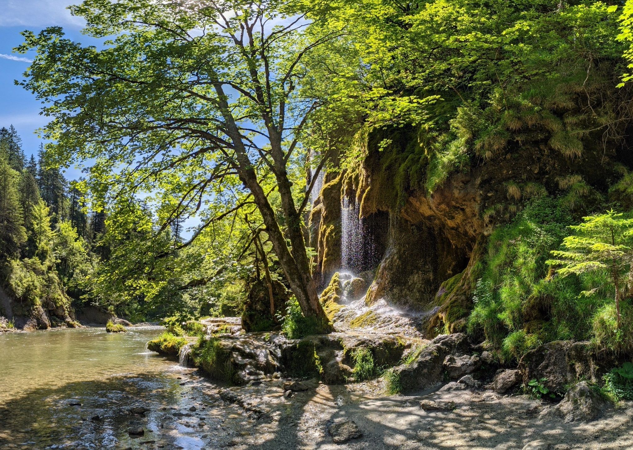
Ammergau Alps meditation path in Bavaria – Breathe in, breathe out
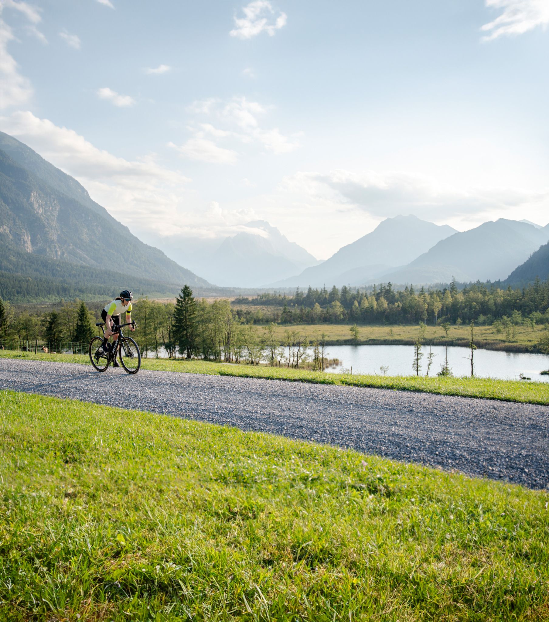
Entlang der höchsten Berge Bayerns – Graveln in der Zugspitz Region
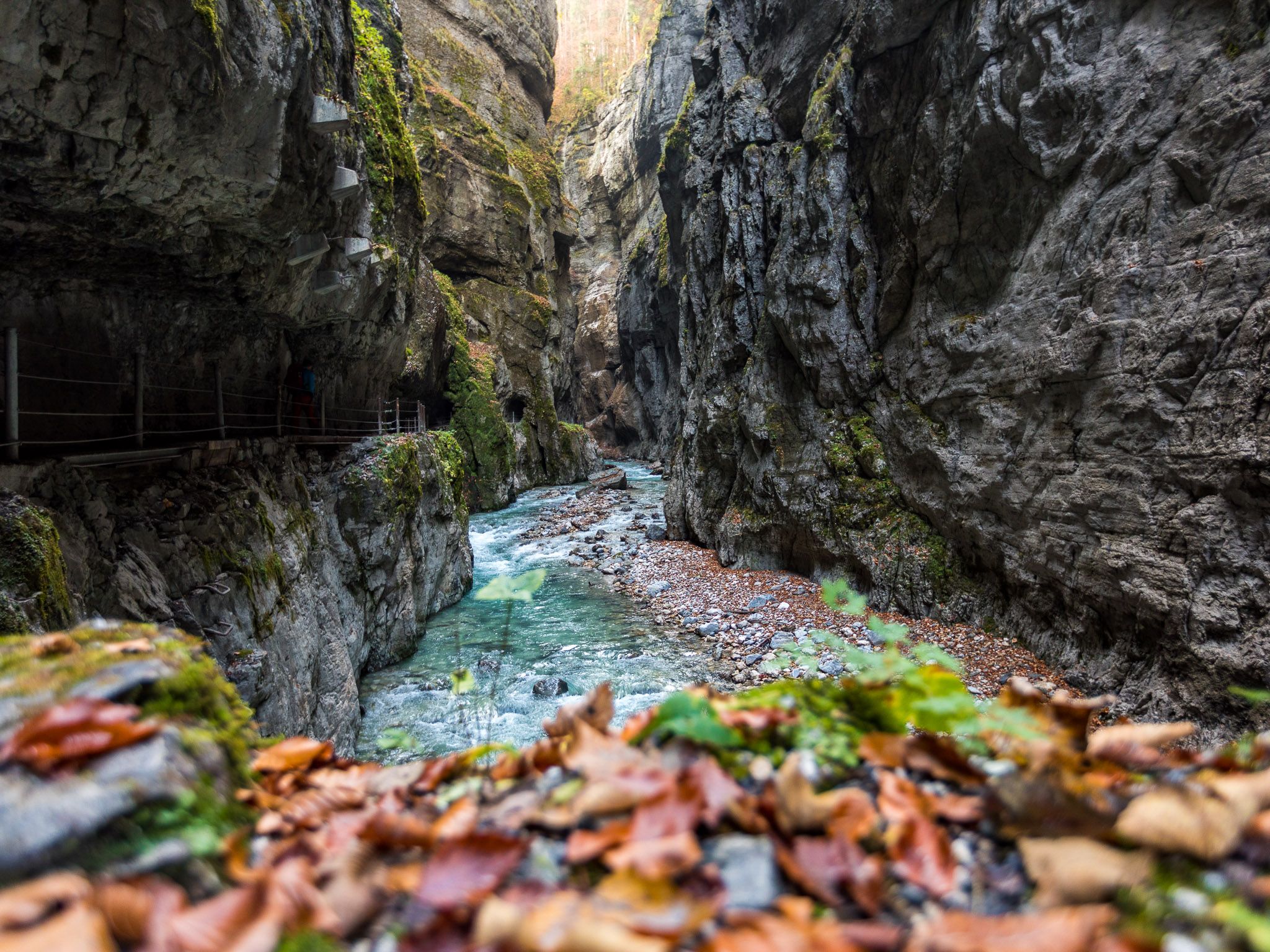
Watery German wonders — gorges and lakes in the Zugspitz Region
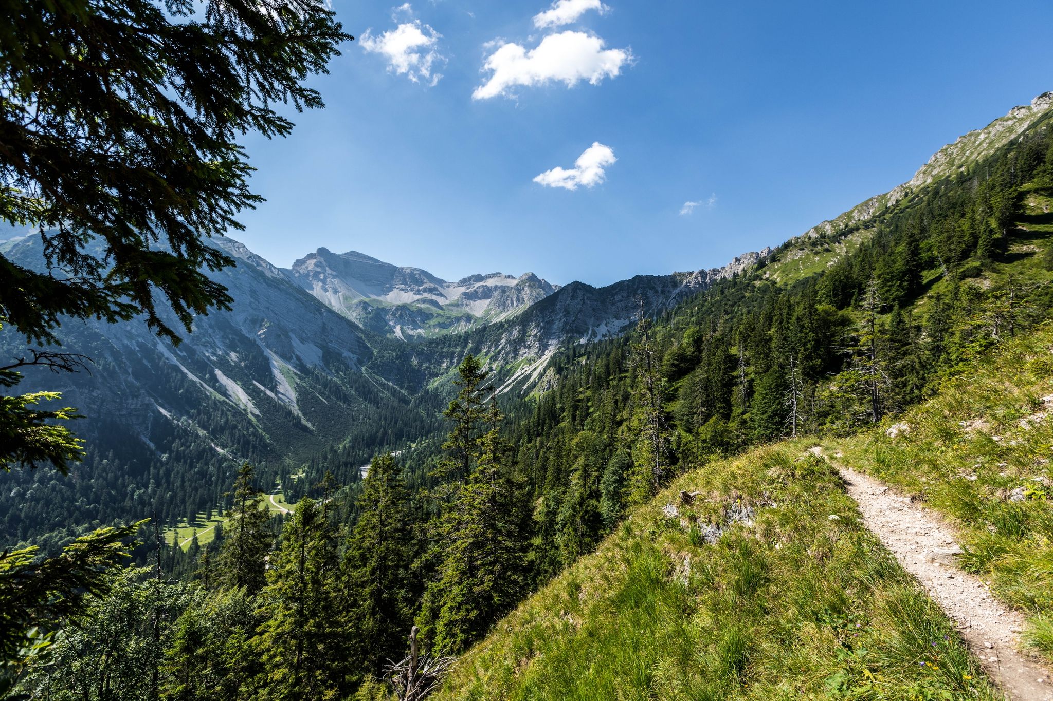
12 days through the Zugspitze region on the Spitzenwanderweg
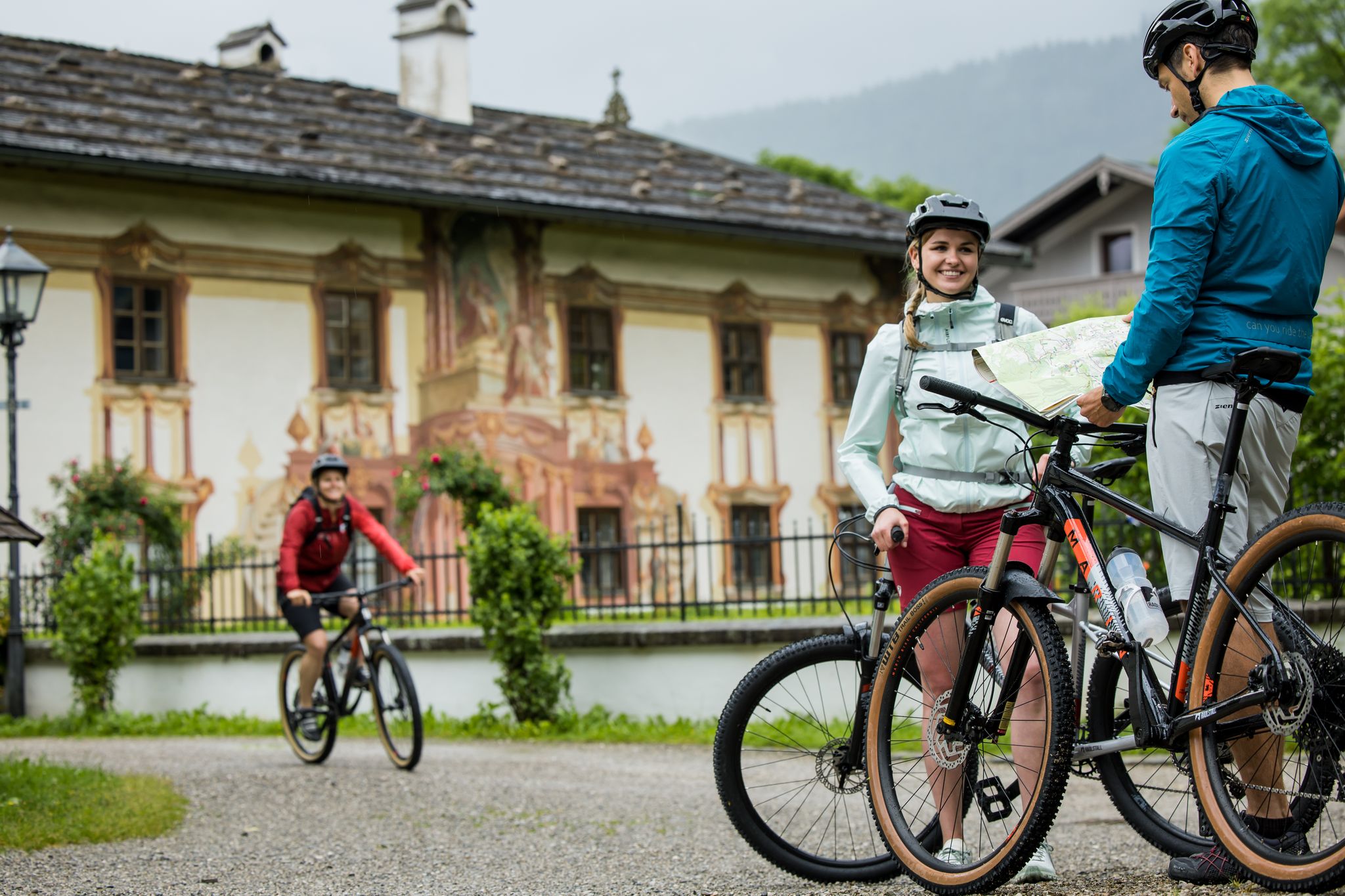
RadKulTouren durch den Naturpark Ammergauer Alpen
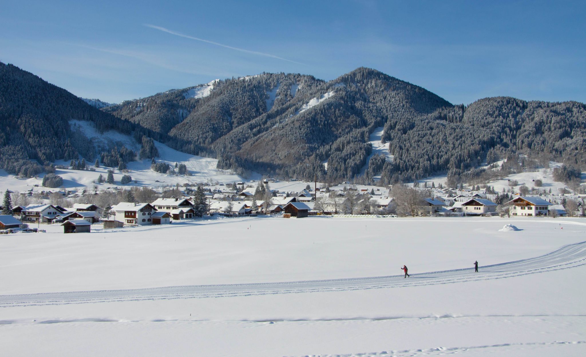
Auf ruhigen Loipen durch den Naturpark Ammergauer Alpen
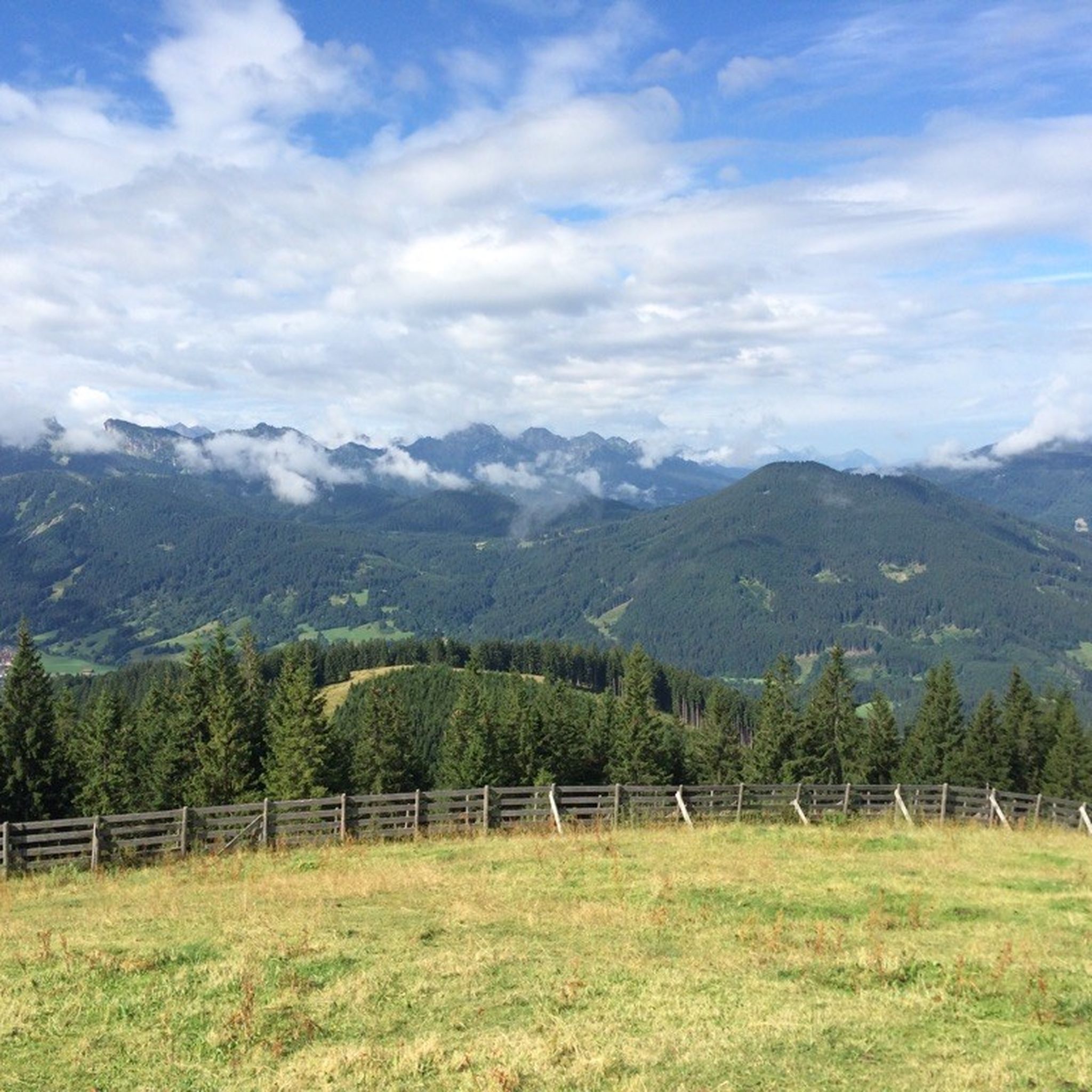
Hiking around Unterammergau
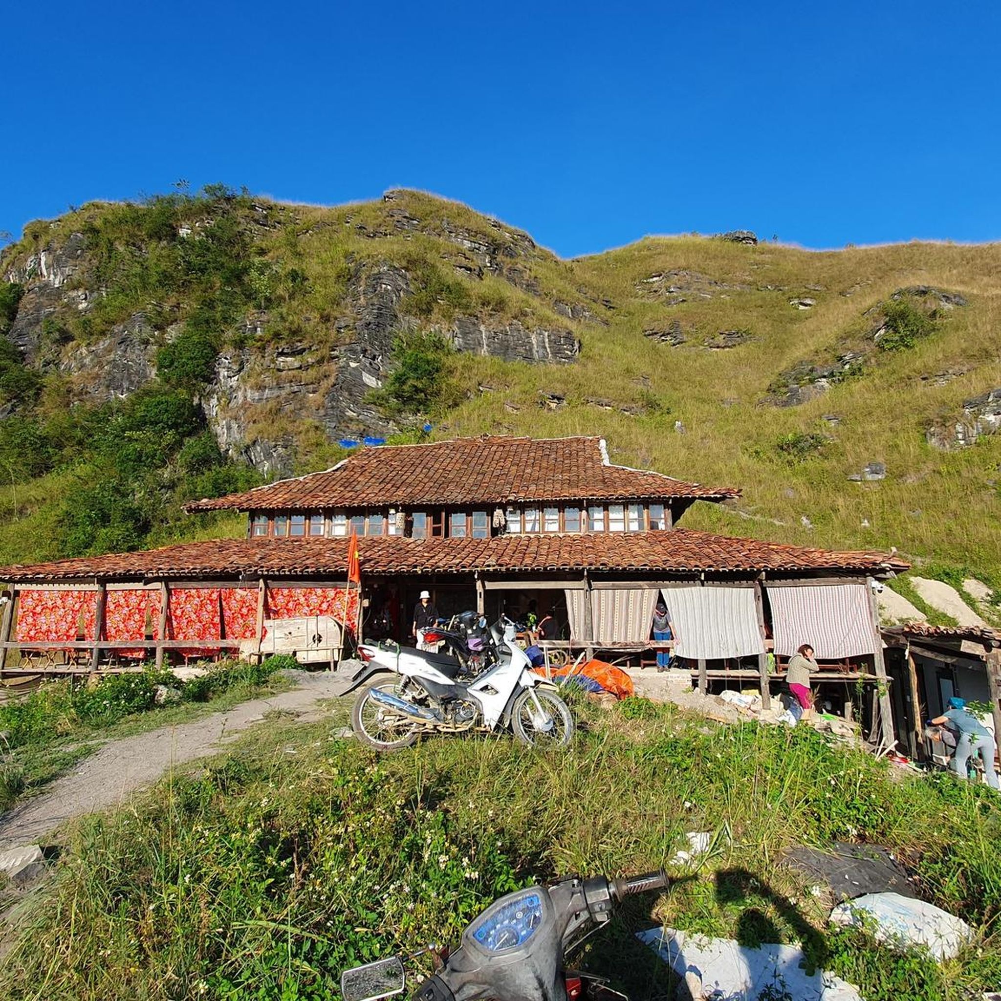
Mountain Hikes around Unterammergau
Road Cycling Routes around Unterammergau
Other adventures around Unterammergau


Tips from the Community

Every year on the evening before St. John's Day (June 23) and before the birthday of King Ludwig II (August 24), a spectacular bonfire is lit on the Kofel. Young men from the village carry hundredweight sacks of charcoal to the summit to make the rock spire glow like a burning torch in the dark.
0
0

The so-called one-man bunker, also known as a splinter protection cell, is a small shelter from World War II. These cylindrical concrete structures were mainly erected at endangered workplaces, such as railway tracks, in factories, or on large industrial sites. They were intended to offer a single person quick protection from flying bomb splinters and rifle fire.
0
0

This is more of a fear tunnel and hardly imaginable nowadays. It probably wouldn't really help in today's world either.
0
0
Directly on the bike path, a small repair station has been set up.
0
0
Hardly any water here at the moment either
0
0

Beautiful landscape, nice well-maintained forest path.
0
0
Beautiful path, although currently (02.05.26) dusty dry.
0
0

Well, reservoir is an exaggeration. A basin is more accurate.
0
0
Frequently Asked Questions
How many mountain bike trails are available around Unterammergau?
There are 11 mountain bike trails around Unterammergau listed on komoot, offering a variety of experiences for different skill levels. These include 4 easy, 6 moderate, and 1 difficult route.
What kind of terrain can I expect on mountain bike trails around Unterammergau?
The terrain around Unterammergau is highly diverse, ranging from gentle paths through meadows in the Ammertal Valley to more challenging ascents in the foothills of the Ammergau Alps. You'll encounter a mix of forests, mountains, and extensive moorlands, with some routes requiring riders to push their bikes on steeper segments.
Are there easy mountain bike trails suitable for beginners in Unterammergau?
Yes, there are several easy mountain bike trails perfect for beginners. For example, the View of Oberammergau – View of Oberammergau loop from Unterammergau is an easy 17.3 km route with moderate elevation gain, offering a pleasant ride through the scenic landscape.
Can I find challenging mountain bike routes in Unterammergau?
Absolutely. For experienced riders seeking a challenge, routes like the View of Oberammergau – Soilaalm loop from Unterammergau offer a difficult 22.3 km trail through alpine terrain, often involving significant climbs and technical sections.
Are there any family-friendly mountain bike trails in the region?
While specific 'family-friendly' designations aren't always explicit, the region's easy and moderate valley routes, such as those following the Ammer River, are generally suitable for families with older children or those comfortable with longer distances. These routes often feature less technical terrain and gentler gradients.
Are dogs allowed on mountain bike trails around Unterammergau?
Many trails in the Ammergau Alps Nature Park are dog-friendly, especially those on wider paths and forest roads. However, it's always recommended to keep dogs on a leash, particularly in protected areas, near wildlife, or when passing through populated sections. Be mindful of other trail users and local regulations.
What natural features or scenic points can I see while mountain biking?
Mountain biking around Unterammergau offers access to stunning natural features. You can explore the Ammergau Alps Nature Park with its wild rivers, forests, and moorlands. Notable points include the Schleifmühl Gorge with its gushing waterfalls, and panoramic views from peaks like the Vorderes Hörnle or the Teufelstättkopf Summit Cross.
Are there any notable landmarks or attractions accessible by mountain bike?
Yes, several attractions are within reach. You can cycle towards the Pürschling Summit, which offers magnificent views. While not directly on a trail, the UNESCO World Heritage site Wieskirche is also a significant cultural landmark in the broader region that can be incorporated into scenic routes.
Are there mountain bike trails that are circular or loop back to the start?
Many of the mountain bike routes around Unterammergau are designed as loops, bringing you back to your starting point. Examples include the popular View of Pürschlinghaus – View of the Ammertal Valley loop from Unterammergau and the Halbammer River – Ammer River Cycle Path loop from Unterammergau.
What do other mountain bikers say about the trails in Unterammergau?
The mountain bike trails in Unterammergau are highly rated by the komoot community, with an average score of 4.5 stars from over 2,800 reviews. Riders frequently praise the diverse landscapes, the well-maintained paths, and the stunning views of the Ammergau Alps and the Ammertal Valley.
Is it possible to reach the mountain bike trails in Unterammergau by public transport?
Unterammergau is generally accessible by public transport, primarily by train or bus, which can connect you to the region. From the village, many trails are directly accessible. It's advisable to check local public transport schedules and bike carriage policies before planning your trip.
Where can I park my car when going mountain biking in Unterammergau?
Unterammergau offers various parking options, particularly near the village center and at popular trailheads. Look for designated parking areas, often signposted for hikers and cyclists. Some routes may start from specific parking lots, so checking the route details on komoot beforehand can help you plan.
What is the best time of year for mountain biking in Unterammergau?
The best time for mountain biking in Unterammergau is typically from late spring to early autumn (May to October). During these months, the weather is generally favorable, trails are clear of snow, and the natural scenery is at its most vibrant. Always check local weather conditions before heading out.
Are there any options for refreshments or places to eat near the trails?
Yes, the region has several options for refreshments. The Hörnle Hut, for instance, is a popular spot for a break and can be accessed via some routes. Additionally, the villages of Unterammergau and nearby Oberammergau offer various cafes, pubs, and restaurants where you can refuel after your ride.
Most popular routes around Unterammergau
Most popular attractions around Unterammergau

Get inspired with the komoot mobile app


Explore more
Browse the best MTB trails in other regions.
