The best mountain hikes around Budoia
4.0
(3)
29
hikers
5
hikes
Mountaineering routes around Budoia are situated at the foot of the Dolomites, within Italy's Friuli-Venezia Giulia region, offering diverse landscapes for outdoor activities. The area is characterized by the Carnian Pre-Alps, including the Col Nudo-Cavallo group, with peaks like Cima Manera (Cimon del Cavallo) and Col Nudo. The geological composition primarily features calcareous rocks and limestone crags, providing varied terrain for ascents and technical climbs.
Best mountaineering routes around Budoia
- The most popular mountaineering route is Cima dei Furlani –…
Last updated: July 5, 2026
3.0
(1)
13
hikers
7.98km
06:41
910m
910m
Hard mountaineering route. Very good fitness required. Sure-footedness, sturdy shoes and alpine experience required.
5.0
(2)
9
hikers
6.81km
04:50
970m
970m
Hard mountaineering route. Very good fitness required. Sure-footedness, sturdy shoes and alpine experience required.

Sign up for free
4
hikers
10.6km
05:42
970m
970m
Hard mountaineering route. Very good fitness required. Sure-footedness, sturdy shoes and alpine experience required.
2
hikers
15.3km
08:10
1,310m
1,310m
Hard mountaineering route. Very good fitness required. Sure-footedness, sturdy shoes and alpine experience required.
1
hikers
13.0km
06:58
1,030m
1,030m
Hard mountaineering route. Very good fitness required. Sure-footedness, sturdy shoes and alpine experience required.
Our route recommendations are based on thousands of hikes, rides, and runs completed by other people on komoot.
Start today with a free account
Your next adventure awaits.
Login or Signup
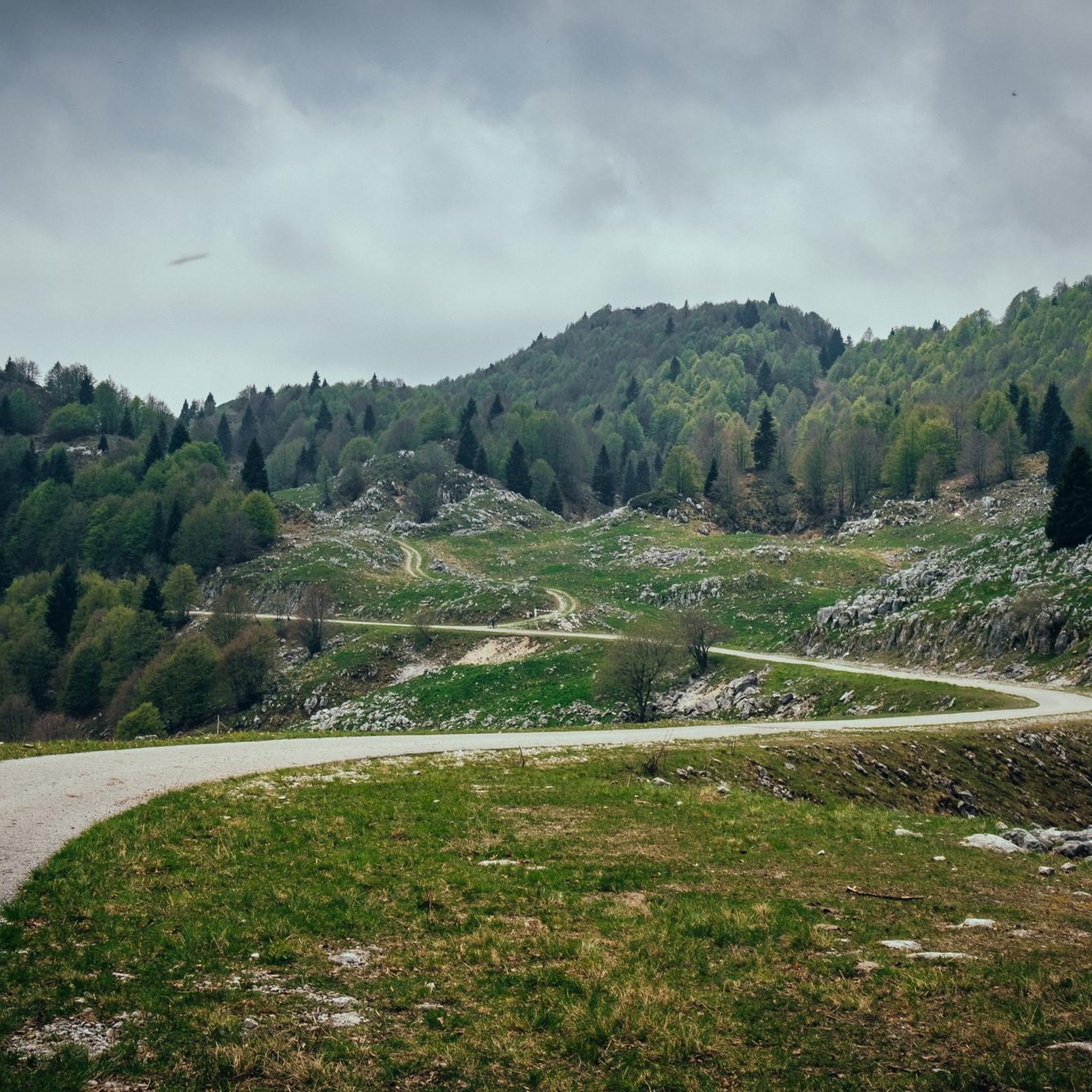
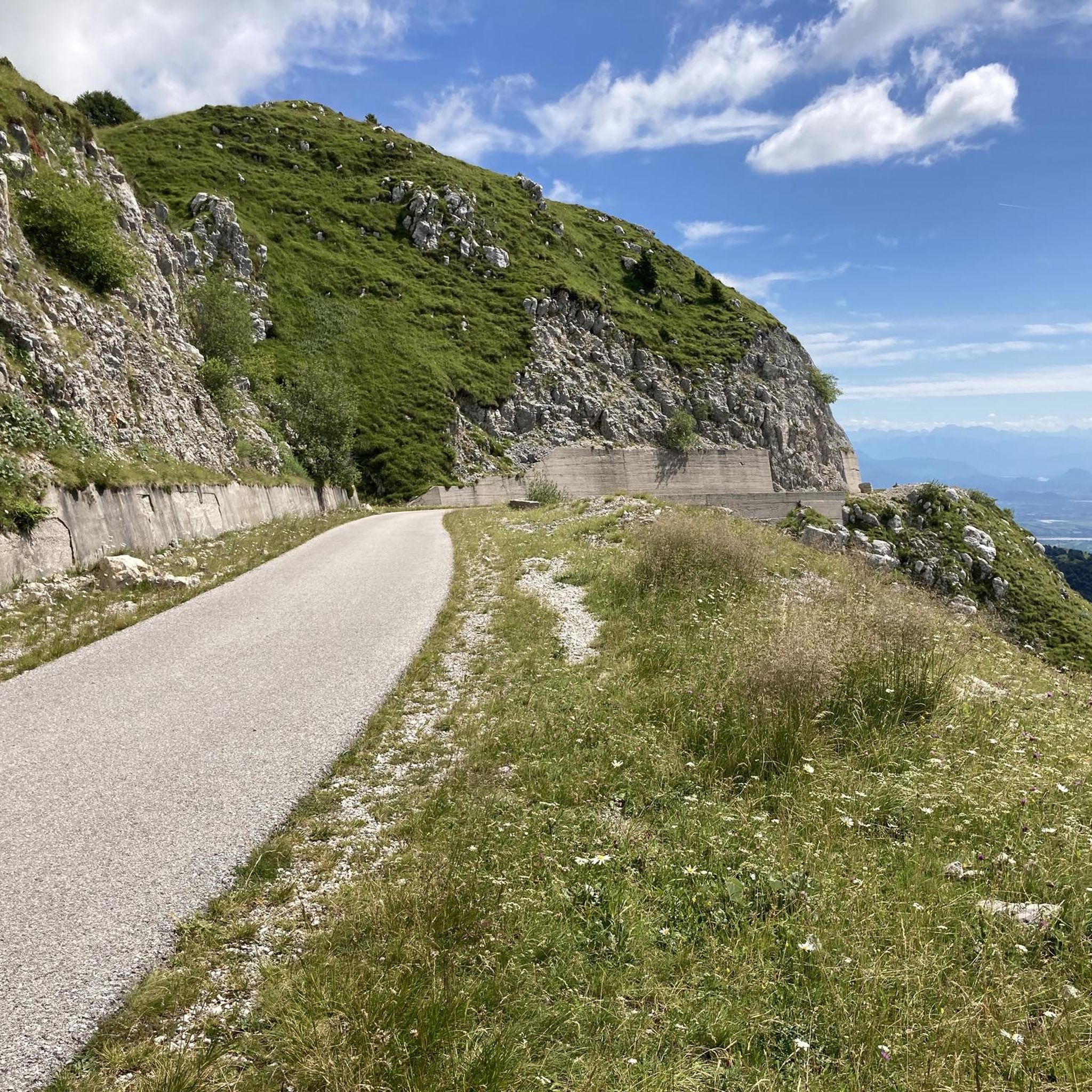
Other adventures around Budoia

Tips from the Community

The bivouac is well-maintained and in a great location. Unfortunately, I encountered a rainy day with low clouds.
0
0


crossroads of paths and excellent panorama
0
0

Very exposed ridge, not recommended for those who suffer from vertigo and have no experience with difficult routes
0
0

Abandoned and in very bad condition, unusable. There are some remains of building material. Too bad, it is located in a small and beautiful valley.
0
0

This refuge is crucial to enhance the Horse group.
1
1
Excellent base in the winter period.
0
0

Frequently Asked Questions
How many mountaineering routes are available around Budoia?
There are 10 mountaineering routes around Budoia, offering a variety of experiences for outdoor enthusiasts. Most of these routes are considered difficult, with one moderate option available.
What kind of terrain can I expect on mountaineering routes in Budoia?
The terrain around Budoia is diverse, characterized by rugged mountain peaks, calcareous rock formations, and lush green environments. The Carnian Pre-Alps, including the Col Nudo-Cavallo group, feature varied geological compositions from Jurassic-Cretaceous limestone, providing engaging terrain for ascents and technical climbs.
Are there any easy or beginner-friendly mountaineering routes in Budoia?
While most mountaineering routes around Budoia are challenging, there is one moderate route available: the Cima delle Vacche loop from Tambre. This 5.0-mile (8.1 km) trail leads through mountain pastures and rocky sections, offering a less strenuous option compared to the more difficult ascents.
What are some notable peaks or viewpoints accessible from Budoia?
Budoia offers access to significant peaks like Cima Manera (Cimon del Cavallo), standing at 2,251 meters, which provides breathtaking panoramic views of various Dolomite massifs. Another prominent peak is Col Nudo, the highest mountain in the Venetian Prealps at 2,472 meters, known for challenging ascents and ski mountaineering.
Are there any circular mountaineering routes in the Budoia area?
Yes, several circular routes are available for mountaineering around Budoia. For example, you can explore the Cima dei Furlani – Cimon del Cavallo loop from Piancavallo / Plancjaval, which is a difficult 5.0-mile (8.0 km) trail offering panoramic views. Another option is the Forcella Sestier loop from Area pic-nic, a difficult 7.4-mile (11.9 km) path with significant elevation gain.
What kind of natural attractions or landmarks can I find along the mountaineering routes?
Along the mountaineering routes, you can encounter various natural attractions. The region features diverse vegetation, ancient beech forests, and areas with unique flora. You might also come across geological features like alluvial sediments and karst formations. For specific points of interest, consider visiting the Gor Nature Trail or exploring the Forra Cunaz gorge.
Are there any mountain huts or bivouacs for overnight stays or refreshments?
Yes, the area around Budoia is home to several mountain huts and bivouacs that can serve as bases or resting points. The Carlo and Massimo Semenza Mountain Hut, situated at 2,020 meters, is a key base for accessing higher-altitude routes. Other options include the Vallorch Alpine Hut and the Lastè Bivouac.
What is the best time of year for mountaineering in Budoia?
The best time for mountaineering in Budoia generally depends on the specific route and conditions. While the region offers opportunities for ski mountaineering on peaks like Col Nudo during winter, traditional mountaineering is typically best enjoyed during the warmer months when trails are clear of snow and weather conditions are more stable. Always check local forecasts and trail conditions before heading out.
Are there any via ferratas or sport climbing opportunities near Budoia?
Yes, for those interested in protected climbing routes, there are via ferratas such as the Rino Costacurta and Alta via dei Rondoi. Additionally, the hamlet of Dardago, near Budoia, boasts three sport climbing crags with a wide array of well-bolted routes suitable for various skill levels, from easy to advanced (up to 8b / 5.13b).
What do other mountaineers say about the routes in Budoia?
The mountaineering routes in Budoia are highly rated by the komoot community, with an average score of 4.5 stars from a handful of reviews. Nearly 100 mountaineers have used komoot to explore the varied terrain, often praising the challenging ascents and the stunning panoramic views of the Dolomite massifs.
Is there a mountaineering route that includes a bivouac?
Yes, the Rifugio Semenza – Bivacco Lastè loop from Tambre is a difficult 5.9-mile (9.4 km) mountaineering route that incorporates both the Rifugio Semenza and the Lastè Bivouac, offering a chance to experience these mountain shelters.
Are there any routes that offer views of Pian di Cansiglio?
While specific routes directly to Pian di Cansiglio are not detailed as mountaineering tours in this guide, the panoramic views from higher peaks like Cima Manera often encompass a wide area, potentially including glimpses of the Cansiglio plateau. The region's diverse landscape transitions from lush environments to rugged peaks, offering expansive vistas.
Most popular attractions around Budoia

Get inspired with the komoot mobile app


Explore more
Browse the best Mountain Hikes & Routes in other regions.
