The best walks and hikes around Campolongo Tapogliano
4.3
(691)
3,861
hikers
228
hikes
Hiking around Campolongo Tapogliano offers routes through a predominantly flat, agricultural landscape characterized by open fields and rural pathways. The region features minimal elevation changes, making it suitable for accessible walks. Historic sites and small villages are often encountered along the trails, providing cultural points of interest. The terrain is generally gentle, with routes winding through cultivated areas and past local landmarks.
Best hiking trails around Campolongo Tapogliano
- The most popular hiking route is Castello di Saciletto – Open Fields…
Last updated: October 12, 2026
3.7
(10)
40
hikers
9.91km
02:30
20m
20m
Moderate hike. Good fitness required. Easily-accessible paths. Suitable for all skill levels.
3.8
(5)
26
hikers
12.4km
03:08
20m
20m
Moderate hike. Good fitness required. Easily-accessible paths. Suitable for all skill levels.

3.0
(1)
12
hikers
6.95km
01:45
10m
10m
Easy hike. Great for any fitness level. Easily-accessible paths. Suitable for all skill levels.
3.0
(1)
10
hikers
6.09km
01:32
10m
10m
Easy hike. Great for any fitness level. Easily-accessible paths. Suitable for all skill levels.
4.0
(2)
9
hikers
6.71km
01:42
10m
10m
Easy hike. Great for any fitness level. Easily-accessible paths. Suitable for all skill levels.
Get access to more routes and recommendations from other explorers.
Already have an account?
Our route recommendations are based on thousands of hikes, rides, and runs completed by other people on komoot.
Start today with a free account
Your next adventure awaits.
Tips from the Community

Documented at least since 1274 as "Castrum Zazilet", but in all probability much older, the Saciletto castle, strategically positioned to control the ancient road that led from Aquileia to Cividale, was repeatedly contested between the patriarch and the counts of Gorizia due to its relevant strategic position for the patriarchal dominion in lower Friuli. Source: consorziocastelli.it
0
0

Novacco is a small settlement with a medieval character. It is also known for its ancient mills.
0
0
A fortified building has been documented at the castle site since 1263. It was purchased by the Patriarch of Aquileia in 1303 and destroyed in 1309. In 1491, the building was sold to Bernardino di Floriano Antonini, who had it converted into a residential building. At the beginning of the 20th century, Enrico Paolo Salem, who had acquired the building in 1923, had the core of the complex completely rebuilt in the Romanesque style. Today, it is fully restored and serves as a private residence. Source: Wikipedia
0
0

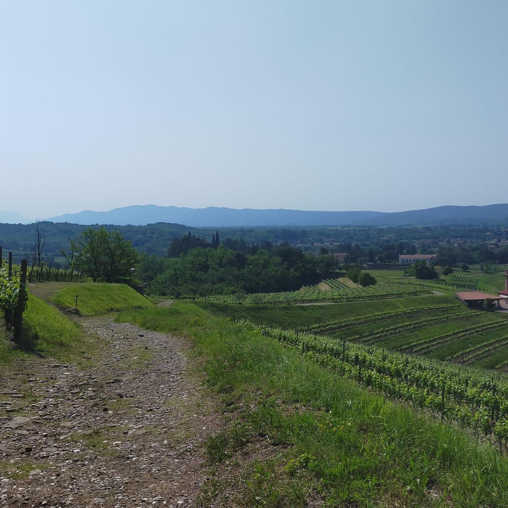
Bucolic, truly small village in the plain of lower Friuli.
1
0
beautiful castle in the lower Friuli
0
0

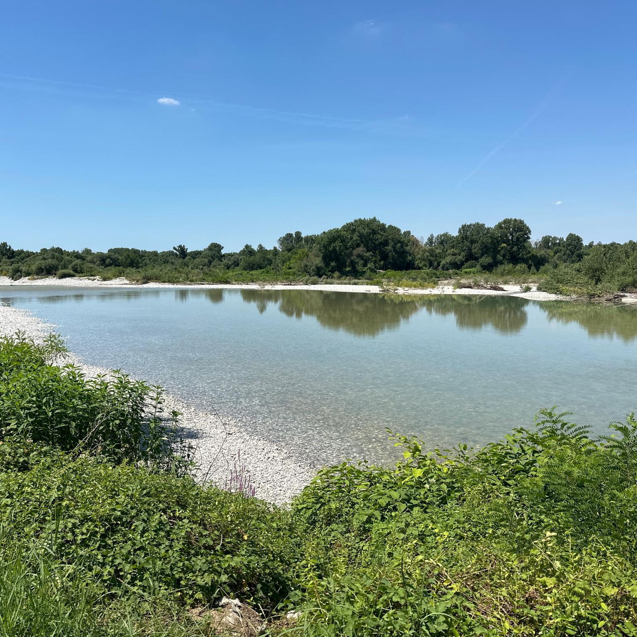
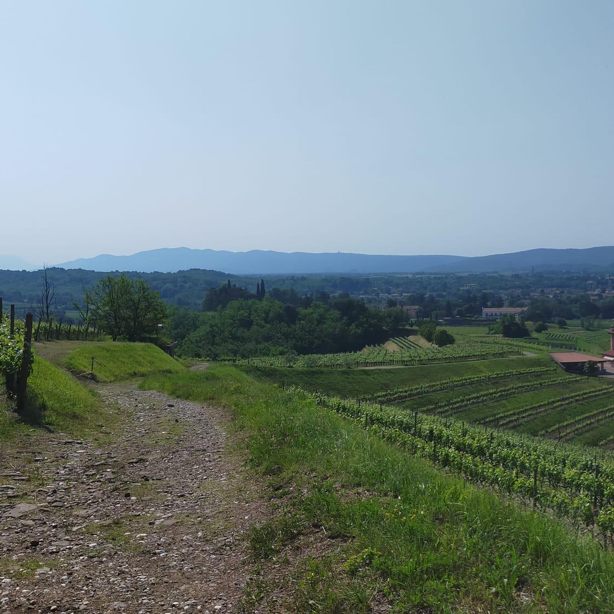
This dirt road, sometimes bumpy with potholes and puddles, directly connects Perteole to Aiello. It is very easy and completely immersed in nature. It is part of the Cammino Celeste, which begins in Aquileia and ends at Mount Lussari.
2
0

The presence of a fortress structure, the Castrum Zazilet, has been documented since 1263. The plant has an irregular polygonal shape and is now completely restored by Volpato and is a private home
3
0

This small village, nestled in the Friulian plain, surrounded by springs and crossed by the Aussa River, is definitely worth a visit.
3
0
Frequently Asked Questions
How many hiking trails are available around Campolongo Tapogliano?
There are over 200 hiking routes in the Campolongo Tapogliano area. The majority are easy or moderate, with 104 easy trails and 99 moderate options, making the region accessible for various skill levels.
Are there easy hikes suitable for beginners in Campolongo Tapogliano?
Yes, Campolongo Tapogliano is ideal for beginners, with 104 easy routes available. These trails typically feature minimal elevation changes and traverse open fields and rural pathways. An example is the Open Fields With Hay Bales loop from Aiello del Friuli / Dael, which is 4.3 miles (6.9 km) long and offers gentle scenery.
What kind of terrain can I expect on hikes around Campolongo Tapogliano?
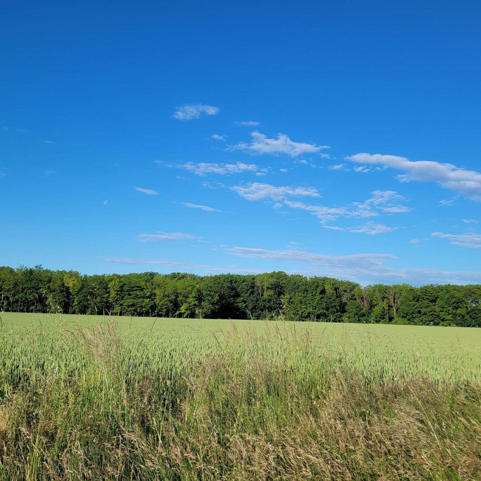
The terrain around Campolongo Tapogliano is predominantly flat and agricultural, characterized by open fields, rural pathways, and cultivated areas. You'll find minimal elevation changes, making for generally gentle and accessible walks. Trails often pass through historic sites and small villages.
Are there any circular walks in the Campolongo Tapogliano area?
Yes, many routes in Campolongo Tapogliano are circular, allowing you to start and end at the same point. For instance, the Castello di Saciletto – Open Fields With Hay Bales loop from Aiello del Friuli is a popular 7.6-mile (12.3 km) circular trail that includes a historic castle.
What are some interesting landmarks or attractions to see along the trails?
Hiking trails often lead past historic sites and offer glimpses of local culture. You can explore highlights like the Pond with Water Lilies in Strassoldo, or the Summit 3 of Monte San Michele for panoramic views. The Sundial of Aiello del Friuli loop from Aiello del Friuli / Dael also takes you past a notable local landmark.
What do other hikers enjoy most about the trails in Campolongo Tapogliano?
The trails in Campolongo Tapogliano are highly rated by the komoot community, with an average score of 4.4 stars from over 500 reviews. Hikers often praise the peaceful, open agricultural landscapes, the gentle terrain suitable for relaxed walks, and the charm of passing through small villages and past historic sites.
Are there options for longer hikes in the region?
While many routes are shorter, there are options for longer excursions. The Church of Saint Anthony – Ara Pacis Mundi Memorial loop from Romans d'Isonzo / Romans dal Lusinç is a moderate 10.6-mile (17.1 km) trail, offering a more extended experience through the area's characteristic landscape.
Is Campolongo Tapogliano suitable for family-friendly walks?
Yes, the predominantly flat and gentle terrain makes Campolongo Tapogliano very suitable for family-friendly walks. Many of the 104 easy routes are perfect for all ages, offering pleasant strolls through open fields and past local points of interest without significant challenges.
What is the best time of year for hiking in Campolongo Tapogliano?
The best time for hiking in Campolongo Tapogliano is typically during spring and autumn when temperatures are mild and the agricultural landscape is vibrant or showcasing harvest colors. Summer can also be pleasant, especially in the mornings or late afternoons, though it can be warmer in the open fields.
Are there any less crowded hiking options available?
Given the extensive network of over 200 trails, it's possible to find less crowded options, especially on weekdays or by exploring some of the less-trafficked rural paths. The region's character of open fields and dispersed villages naturally offers a sense of space and tranquility.
Can I access hiking trails in Campolongo Tapogliano using public transport?
While specific public transport connections directly to every trailhead may vary, Campolongo Tapogliano and surrounding villages are generally connected by local bus services. It's advisable to check local bus schedules for routes serving the starting points of your chosen hikes.
Are there any hikes that pass by cafes or places to stop for refreshments?
Many routes in Campolongo Tapogliano pass through or near small villages. These villages often have local cafes or trattorias where you can stop for refreshments. Planning your route to include a village stop can enhance your hiking experience.
Most popular routes around Campolongo Tapogliano
Most popular attractions around Campolongo Tapogliano

Get inspired with the komoot mobile app


Explore more
Browse the best Hikes in other regions.
