The best road cycling routes around Arba
4.3
(221)
5,006
riders
133
rides
Road cycling routes around Arba offer a diverse range of terrain, from moderate paths to challenging climbs. The region features varied landscapes, including areas with significant elevation changes and scenic lake views. Cyclists can expect a mix of open roads and undulating sections, providing options for different skill levels. The area is characterized by routes featuring lakes, bridges, and varied elevation changes.
Best road cycling routes around Arba
- The most popular road cycling route is Passo Rest and Lake Tramonti…
Last updated: October 11, 2026
4.9
(10)
217
riders
109km
06:27
2,560m
2,560m
This difficult 68-mile road cycling loop climbs to Forcola di Monte Rest and returns via Valle di Preone, offering challenging terrain.
5.0
(8)
225
riders
110km
05:41
1,820m
1,820m
Hard road ride. Very good fitness required. Mostly well-paved surfaces and easy to ride.

4.3
(3)
109
riders
85.2km
03:44
730m
730m
Moderate road ride. Good fitness required. Mostly well-paved surfaces and easy to ride.
4.3
(3)
75
riders
65.1km
02:43
390m
390m
Moderate road ride. Good fitness required. Mostly well-paved surfaces and easy to ride.
4.9
(12)
58
riders
Moderate road ride. Good fitness required. Mostly well-paved surfaces and easy to ride.
Get access to more routes and recommendations from other explorers.
Already have an account?
Our route recommendations are based on thousands of hikes, rides, and runs completed by other people on komoot.
Start today with a free account
Your next adventure awaits.
Tips from the Community

The Parco del Brolo in San Quirino, adjacent to the historic Villa Cattaneo, represents an enchanting green lung and a precious meeting space for the local community. Originally conceived as a "brolo", or the ancient walled orchard serving the eighteenth-century manor house, the area has preserved its original charm over time, transforming into a well-kept and welcoming public park. Characterized by large lawns, shaded walkways, and majestic centuries-old trees, the park offers an oasis of tranquility in which to walk, relax, or practice outdoor activities. Throughout the year, the Parco del Brolo comes alive with cultural events, village festivals, and moments of social gathering, integrating perfectly with the architecture of the villa. This combination of nature, history, and social life makes it one of the most evocative and lively places in the area.
0
0
Maniago, located at the foot of the Carnic Prealps in the Pordenone foothills, is a Friulian town famous throughout the world for its centuries-old tradition in cutlery and ironworking. The beating heart of the historic center is Piazza Italia, one of the largest in the region, dominated by the 15th-century cathedral in Gothic-Renaissance style and surrounded by elegant buildings and historic fountains. Strolling through its streets, you can breathe in a hardworking and welcoming atmosphere, enriched by the presence of the Museum of Blacksmithing and Cutlery, which tells the story of the evolution of local artisanal ingenuity. Surrounded by unspoiled nature, Maniago also represents a gateway to the evocative surrounding valleys, offering a perfect blend of culture, industrial history, and alpine landscapes. A fascinating destination where artisanal knowledge meets the beauty of the territory.
0
0
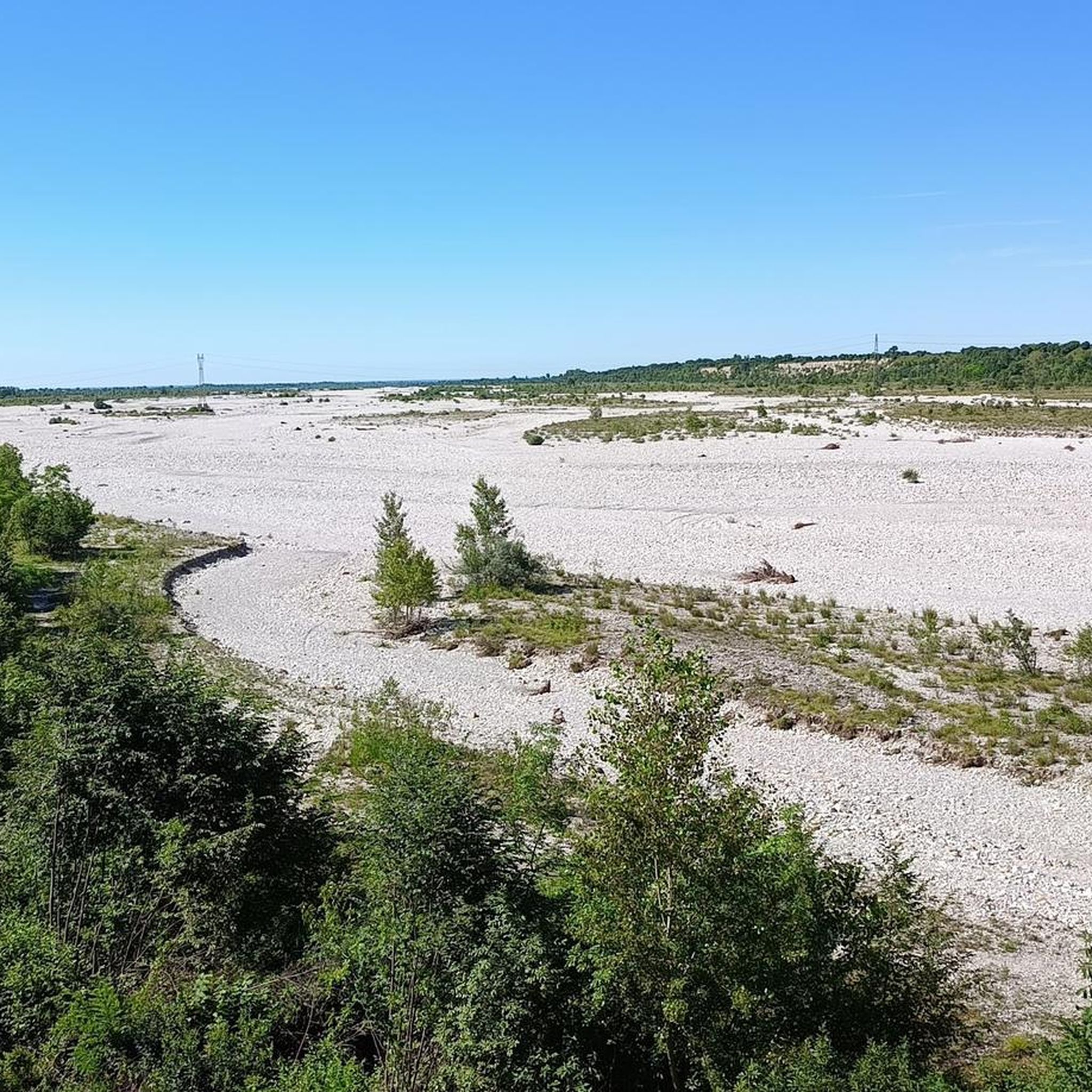
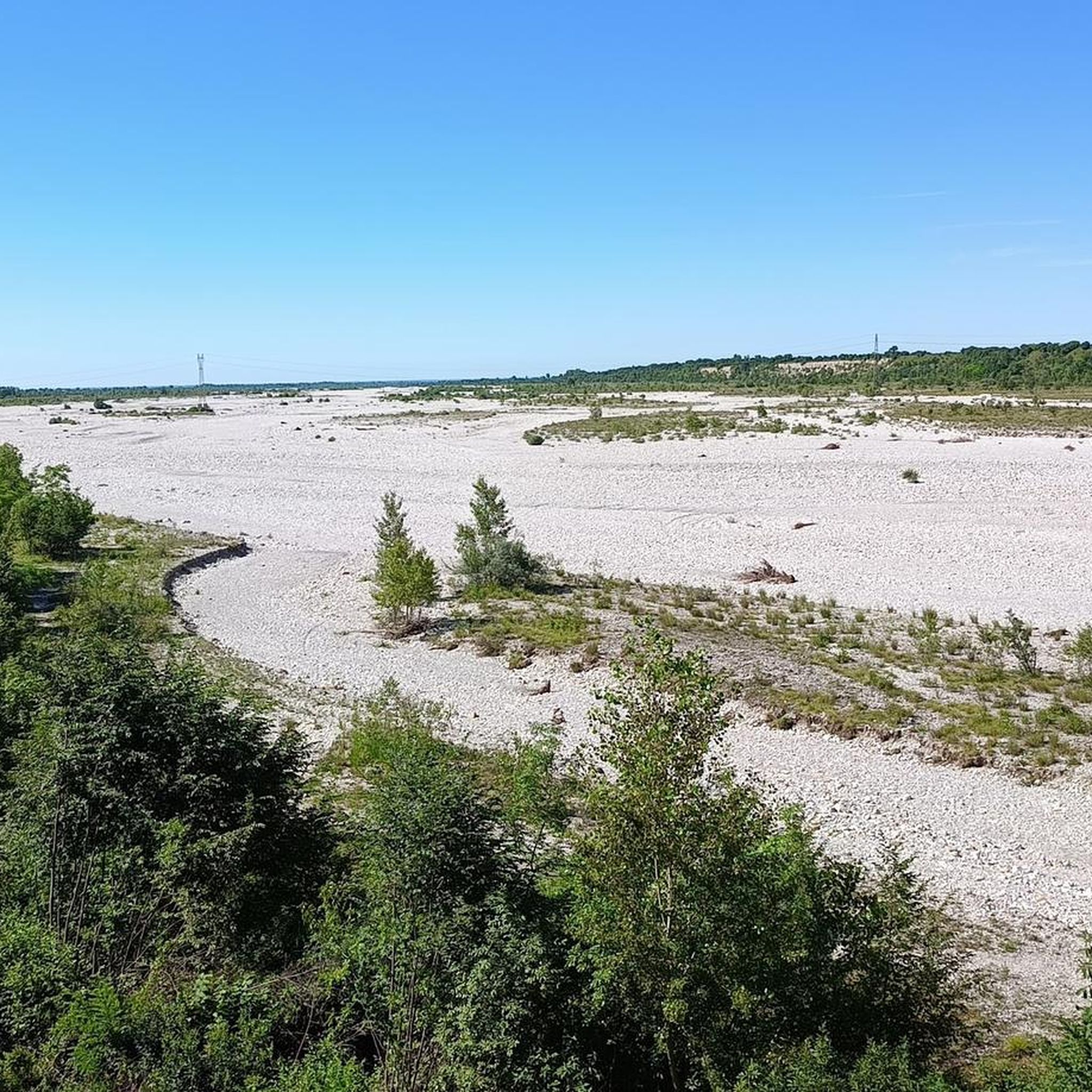
The Ponte sul Cellina is an extraordinary feat of engineering and a striking viewpoint immersed in the wild nature of the Carnic Prealps. Suspended over the crystal-clear waters of the Cellina stream, the structure offers a spectacular passage along the famous Valcellina, connecting banks shaped by time and erosion. Its privileged position allows you to admire the imposing limestone gorges and the turquoise reflections of the river, offering visitors a visual experience of great emotional impact. Beyond its logistical and infrastructural function, the bridge represents a symbol of union between man and the territory, integrating harmoniously into a protected landscape of rare beauty. Crossing it means immersing yourself in an uncontaminated natural setting, where the contrast between constructive ingenuity and the power of nature creates a unique and unforgettable atmosphere.
0
0

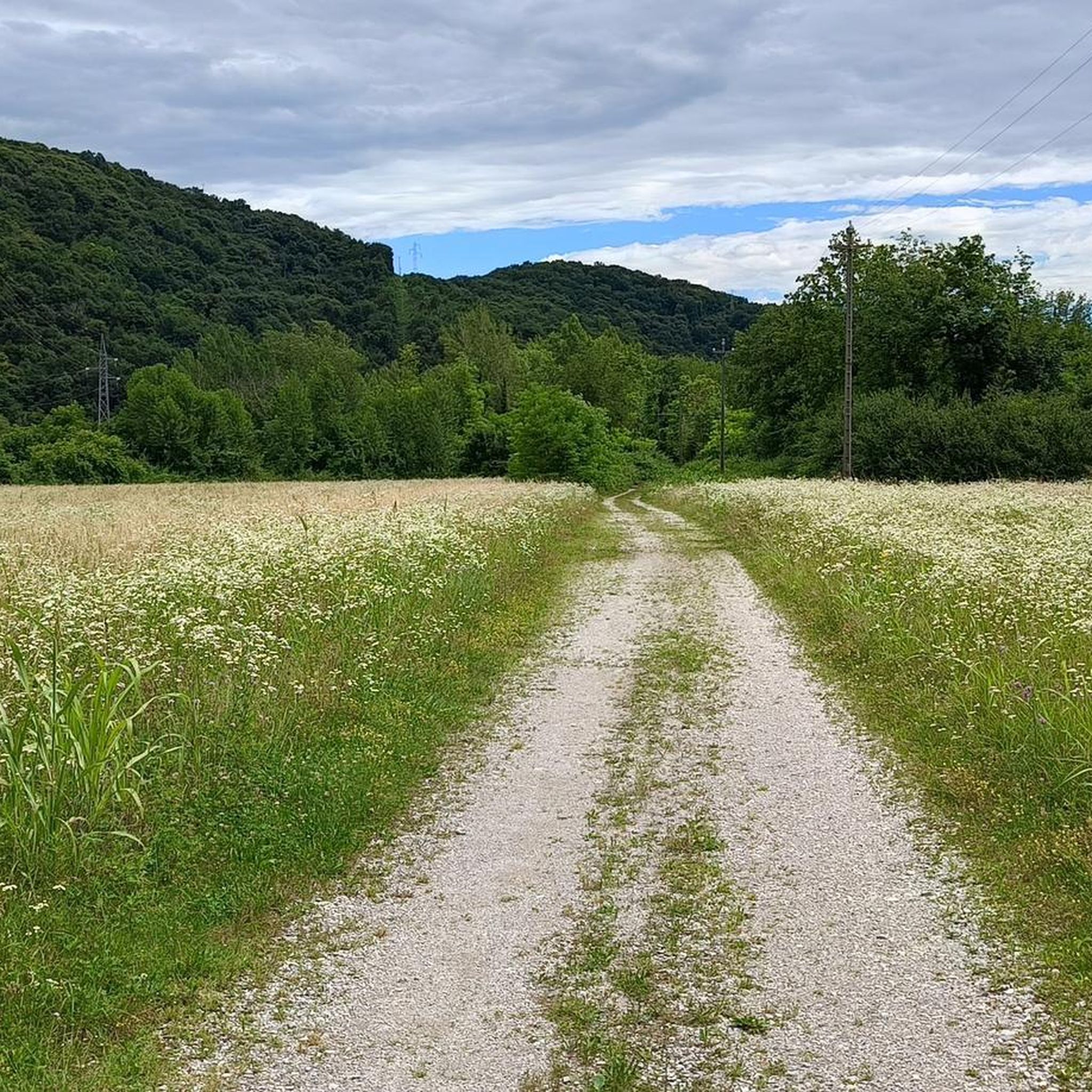
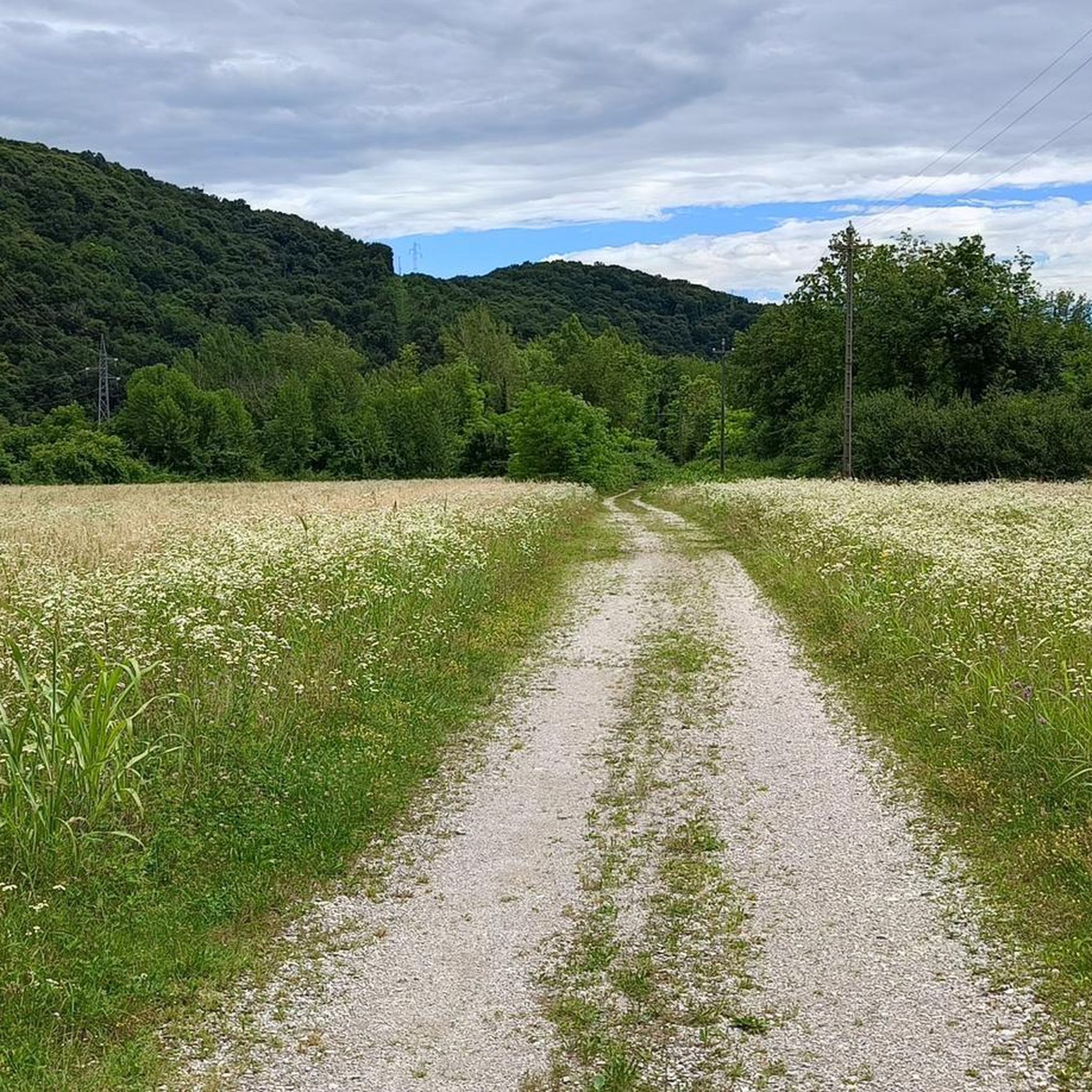
Quiet, mostly shady road without much traffic.
0
0


Bridge over the Arzino stream, the ideal place for a break to cool your feet on summer days
0
0

Super beautiful road on the shore of the lake
3
0
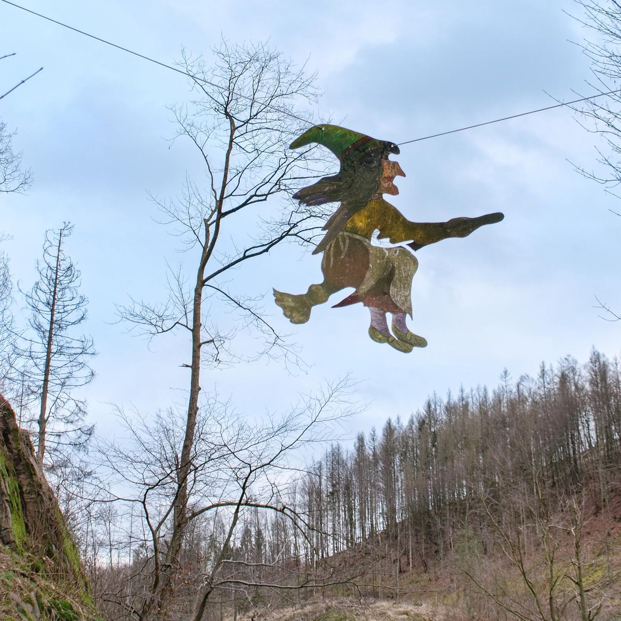
Beautiful landscape, highly recommended
3
0
Frequently Asked Questions
How many road cycling routes are available around Arba?
There are over 140 road cycling routes around Arba, catering to various skill levels. You'll find a mix of easy, moderate, and challenging rides to explore the region's diverse landscapes.
What kind of terrain can I expect on road cycling routes in Arba?
Road cycling routes around Arba feature varied terrain, from moderate paths to challenging climbs. You can expect a mix of open roads and undulating sections, often with significant elevation changes and scenic views of lakes and bridges. The region is known for its lakes, such as Lake Tramonti, and impressive gorges.
Are there challenging road cycling routes for experienced riders in Arba?
Yes, Arba offers several challenging road cycling routes. For instance, the Passo Rest and Lake Tramonti Loop is a difficult 68-mile route with substantial elevation gain. Another demanding option is the Spilimbergo – Lake Tramonti loop from Arba / Darbe, which covers nearly 60 miles with significant ascents.
What are some popular moderate road cycling routes in Arba?
For a moderate challenge, consider the Cellina Bridge – Ravedis Bridge loop from Fanna - Cavasso, a 21.4-mile route with moderate elevation. Another great option is the Cellina Bridge – Maniago loop from Fanna - Cavasso, which is about 41 miles long and also features moderate elevation changes.
What do other road cyclists say about the routes in Arba?
The road cycling routes in Arba are highly rated by the komoot community, with an average score of 4.6 stars from over 220 reviews. Cyclists often praise the varied terrain, scenic lake views, and the challenging ascents found on many routes.
Are there any natural landmarks or viewpoints along the road cycling routes?
Yes, Arba's routes often pass by significant natural features. You can cycle near Lake Tramonti, explore the dramatic Cellina Gorge and Dam, or even pass by the summit cross on Monte Jouf. The region offers many opportunities for scenic stops.
Can I find routes that feature gorges or rivers in Arba?
Absolutely. The region around Arba is known for its impressive gorges and rivers. You can find routes that take you along the Old Road Along the Calvare di Jouf Gorge or past the beautiful Pools of the Colvera Stream. The Cellina Gorge and Dam is another prominent feature.
Are there any caves or unique geological features to explore near the cycling paths?
Yes, the area around Arba features interesting geological sites. You might encounter the Adriano Bruna Botanical Trail and Caves, offering a chance to explore unique underground formations and local flora.
What is the longest road cycling route in Arba?
The longest route highlighted is the Passo Rest and Lake Tramonti Loop, which spans approximately 68 miles (109.4 km) and typically takes over 6 hours to complete, offering extensive riding through varied landscapes.
Are there any circular road cycling routes in Arba?
Many of the road cycling routes in Arba are designed as loops, allowing you to start and end in the same location. Examples include the Passo Rest and Lake Tramonti Loop and the Toppo village – Spilimbergo loop from Fanna - Cavasso.
What is the elevation gain like on Arba's road cycling routes?
Elevation gain varies significantly across routes. Some routes, like the Passo Rest and Lake Tramonti Loop, feature substantial climbs with over 2,500 meters (8,200 feet) of elevation gain. Other routes, such as the Cellina Bridge – Ravedis Bridge loop from Fanna - Cavasso, have more moderate ascents around 230 meters (750 feet).
Most popular attractions around Arba

Get inspired with the komoot mobile app


Explore more
Browse the best Road cycling routes in other regions.
