The best walks and hikes around Precenicco
4.3
(528)
8,937
hikers
185
hikes
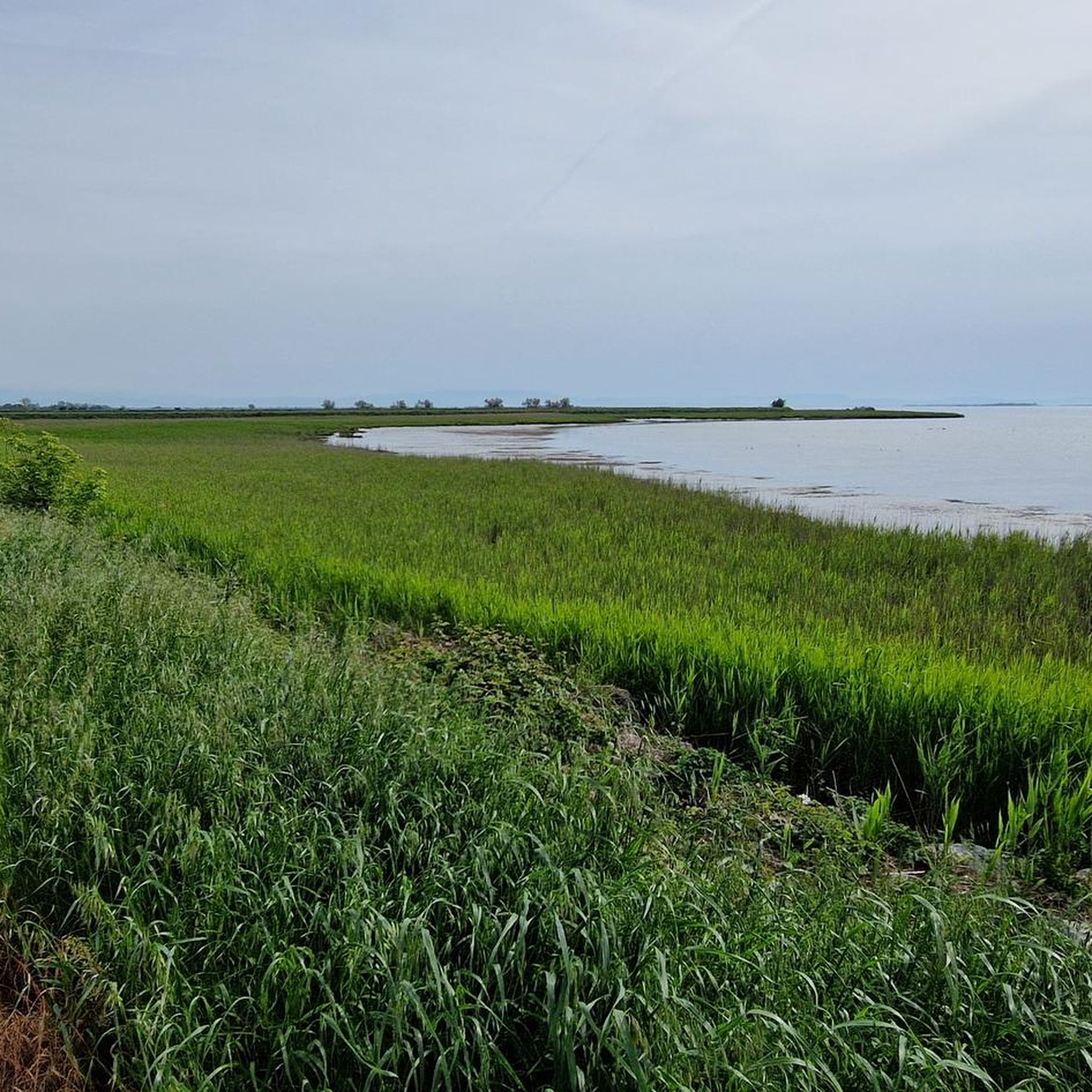
Hiking around Precenicco offers diverse natural landscapes, characterized by significant waterways and unique nature reserves. The region is defined by the Stella River flowing into the Marano Lagoon, creating brackish wetlands within the Foci dello Stella Nature Reserve. The Tagliamento River, known as the "King of Alpine Rivers," also carves a broad valley with accessible paths. Remnants of lowland forests provide additional areas for exploration.
Best hiking trails around Precenicco
- The most popular hiking route is Tagliamento Cycleway Trail,…
Last updated: August 30, 2026
23.8km
06:00
30m
30m
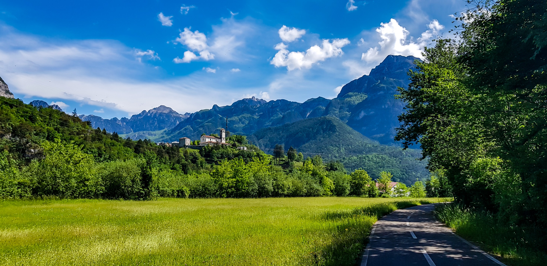
Hike the Via Postumia from Palazzolo dello Stella to Latisana, a 14.8-mile (23.8 km) difficult route through the Friuli countryside.
18
hikers
Easy hike. Great for any fitness level. Easily-accessible paths. Suitable for all skill levels.

Sign up for free
5.0
(1)
12
hikers
7.95km
02:01
20m
20m
Moderate hike. Good fitness required. Easily-accessible paths. Suitable for all skill levels.
12
hikers
5.93km
01:30
10m
10m
Easy hike. Great for any fitness level. Easily-accessible paths. Suitable for all skill levels.
9
hikers
6.95km
01:45
10m
10m
Easy hike. Great for any fitness level. Easily-accessible paths. Suitable for all skill levels.
Get access to more routes and recommendations from other explorers.
Sign up for free
Already have an account?
Our route recommendations are based on thousands of hikes, rides, and runs completed by other people on komoot.
Start today with a free account
Your next adventure awaits.
Login or Signup

Other adventures around Precenicco

Tips from the Community


Taking some pictures from this position makes the Tagliamento and Latisana very special.
1
0
Cathedral of San Giovanni Battista in Latisana, was probably built in the early Middle Ages.
0
0

Place in Fvg nature
1
1
Nice place between FVG and Veneto
1
1

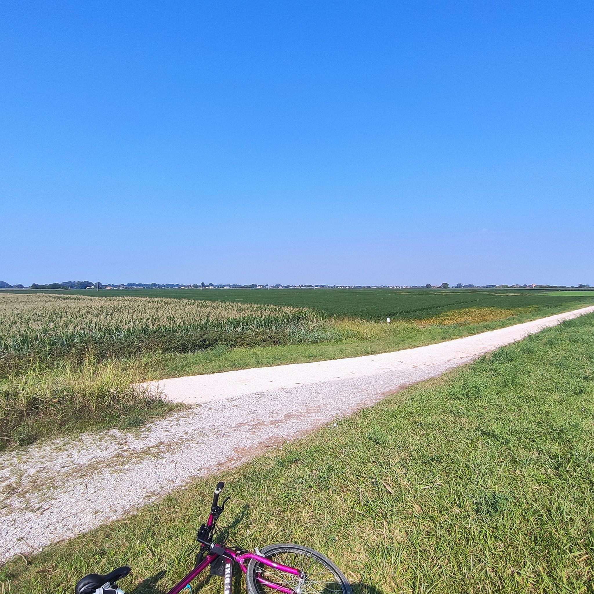
the regional border runs right in the middle of the river... and as in the photo the front wheel is in Veneto and the rear one in Friuli Venezia Giulia
2
0
Frequently Asked Questions
How many hiking trails are available around Precenicco?
There are over 180 hiking routes in the Precenicco area, offering a wide range of options for different skill levels and preferences. You'll find everything from easy riverside strolls to more challenging routes along the Tagliamento River.
Are there easy hiking trails suitable for beginners or families in Precenicco?
Yes, Precenicco offers many easy trails perfect for beginners and families. For example, the Cemetery of Lignano Sabbiadoro loop from Stadio Guido Teghil is an easy 7.7 km path. Another accessible option is the Cormor River Bridge – Selva Arvonchi loop from STAI, which is 4.5 km long and takes about an hour and 8 minutes to complete.
What kind of natural landscapes can I expect to see while hiking in Precenicco?
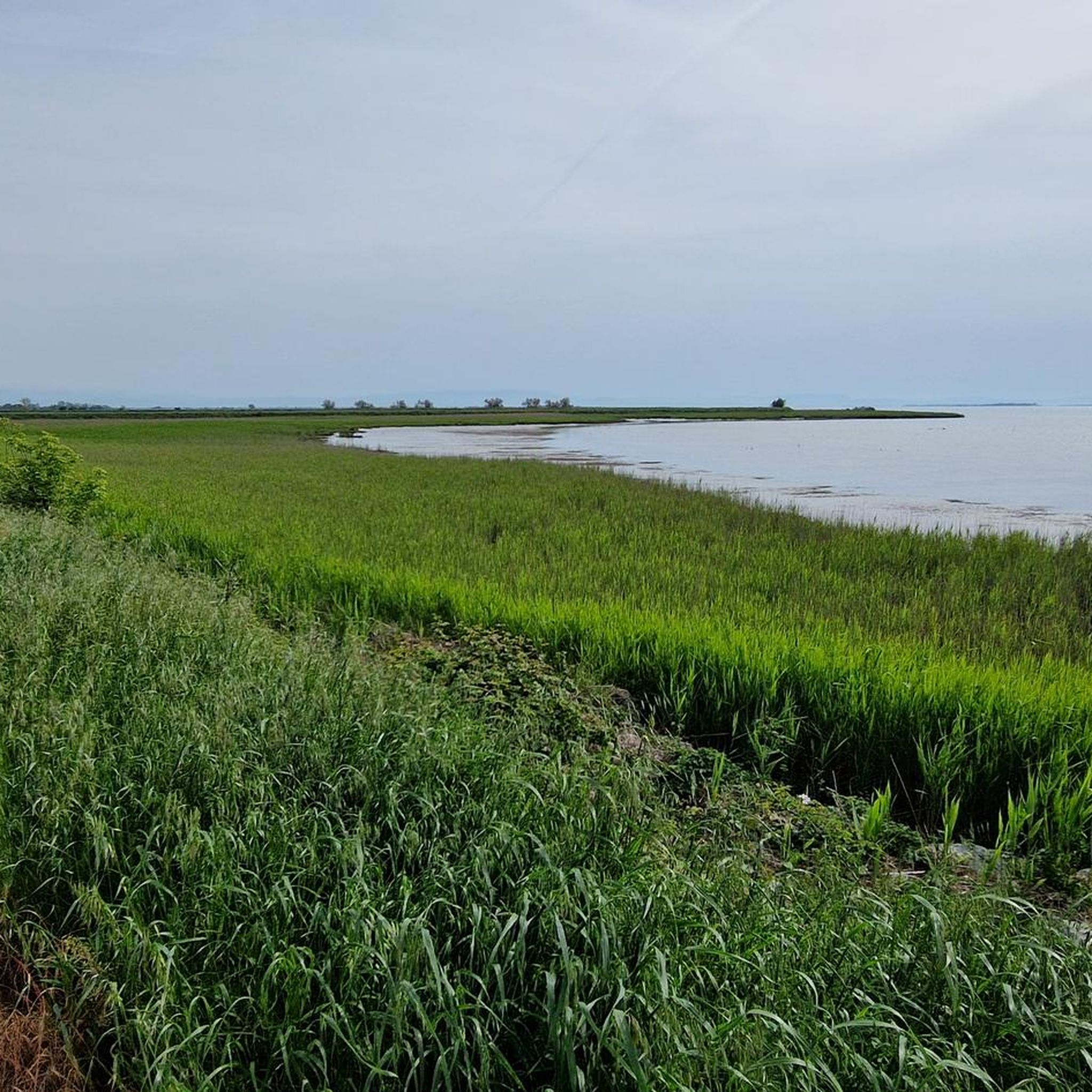
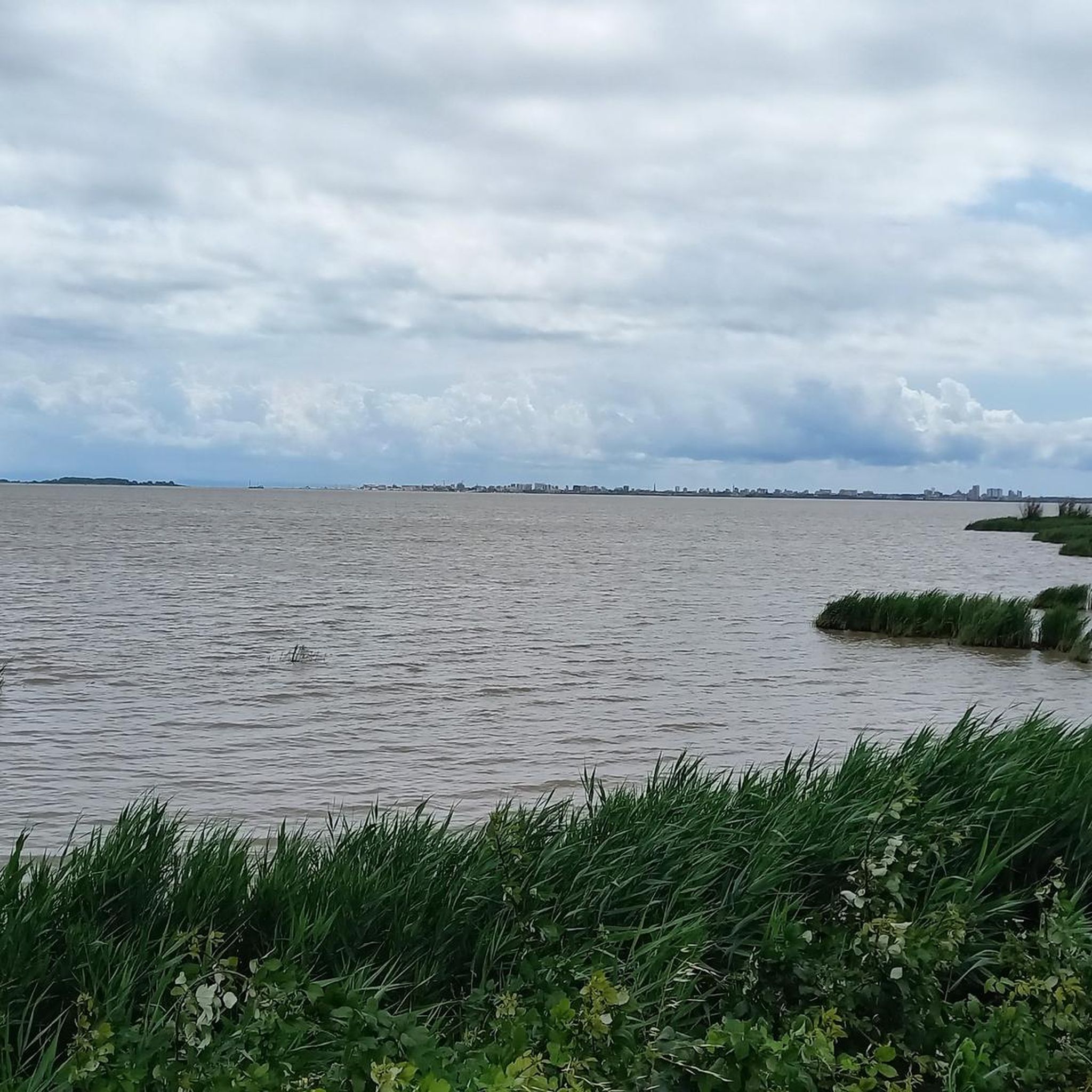
Precenicco's hiking trails showcase diverse natural landscapes, primarily characterized by significant waterways and unique nature reserves. You'll encounter the brackish wetlands of the Foci dello Stella Nature Reserve, the broad valley of the Tagliamento River, and remnants of lowland forests. These areas offer picturesque views and rich biodiversity, especially for birdwatching.
Are there any circular walks in the Precenicco area?
Yes, there are several circular walks available. The Cemetery of Lignano Sabbiadoro loop from Stadio Guido Teghil is a popular easy loop. Another option is the Cormor River Bridge – Selva Arvonchi loop from STAI, which takes you through natural settings.
What are some interesting landmarks or attractions to see near the hiking trails?
Beyond the natural beauty, you can explore several attractions. The Tagliamento River Mouth offers a scenic highlight. You might also visit the historic Sanctuary of Titiano, nestled in a secluded natural setting near the Stella River, or the well-maintained Fort of Precenicco, surrounded by a water-filled moat.
Can I spot wildlife while hiking in Precenicco?
Absolutely. The Foci dello Stella Nature Reserve, where the Stella River flows into the Marano Lagoon, is particularly rich in biodiversity. It's an excellent spot for birdwatching, with opportunities to see marsh harriers, mute swans, and various herons. The Tagliamento River's banks also host diverse flora and fauna, including various bird species in the pine woods near its mouth.
What do other hikers enjoy most about hiking in Precenicco?
The area is highly rated by the komoot community, with an average score of 4.3 stars from over 400 reviews. Hikers often praise the diverse natural landscapes, the serene riverside walks, and the opportunities for birdwatching within the nature reserves.
Are there any specific nature reserves or protected areas I can explore?
Yes, a primary draw for hikers is the Foci dello Stella Nature Reserve, a protected area where the Stella River meets the Marano Lagoon. This unique ecosystem offers lush reed thickets and canals, ideal for nature observation. While primarily accessible by boat, there are guided hikes and cycling paths that allow you to experience its beauty. You can find more information about the reserve at visitmaranolagunare.it.
What is the best time of year to go hiking in Precenicco?
While hiking is possible year-round, spring and autumn generally offer the most pleasant conditions for exploring Precenicco's trails. The weather is milder, and the natural landscapes are vibrant, making it ideal for enjoying the wetlands, riverine environments, and forests.
Are there options for longer, more challenging hikes in the region?
Yes, for those seeking a more challenging experience, the Tagliamento Cycleway Trail is a difficult route spanning 23.8 km. It follows the Tagliamento River, offering extensive views of its naturalistic banks and requiring approximately 6 hours to complete.
Are the hiking trails in Precenicco accessible by public transport?
While specific public transport details for every trailhead are not available, the region around Precenicco is generally accessible. Many trails, especially those along the Tagliamento River and near towns, can be reached with a combination of local transport and short walks. It's advisable to check local bus schedules for routes connecting to nearby villages or trail starting points.
Are there any dog-friendly hiking trails in Precenicco?
Many of the natural trails and paths in Precenicco, particularly those along the rivers and in open areas, are suitable for dogs. It's always recommended to keep dogs on a leash, especially in nature reserves like the Foci dello Stella, to protect local wildlife and ensure a pleasant experience for all hikers. Please check specific trail regulations for any restrictions.
Most popular routes around Precenicco
Most popular attractions around Precenicco

Get inspired with the komoot mobile app


Explore more
Browse the best Hikes in other regions.
