The best MTB trails around Rötsweiler-Nockenthal
4.6
(1207)
3,150
riders
274
rides
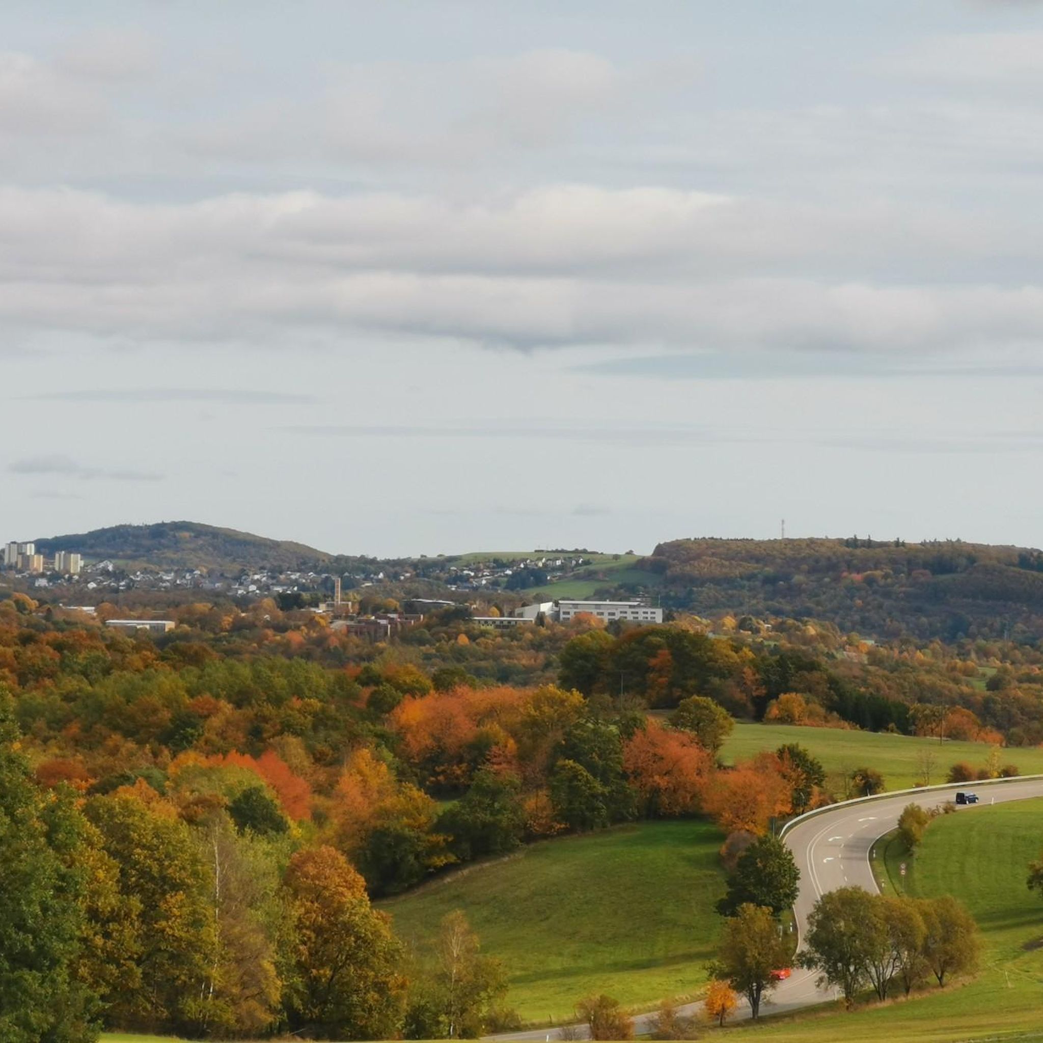
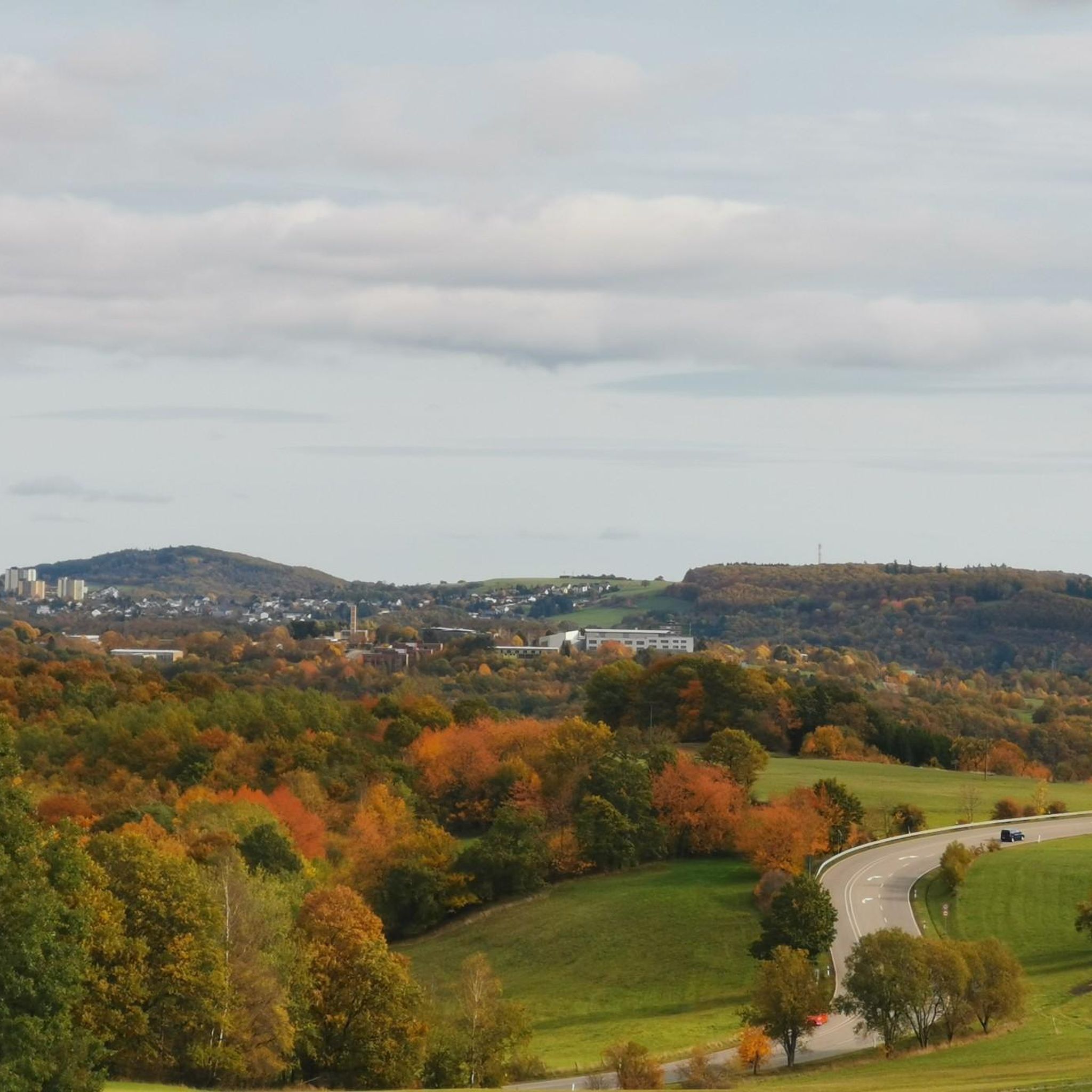
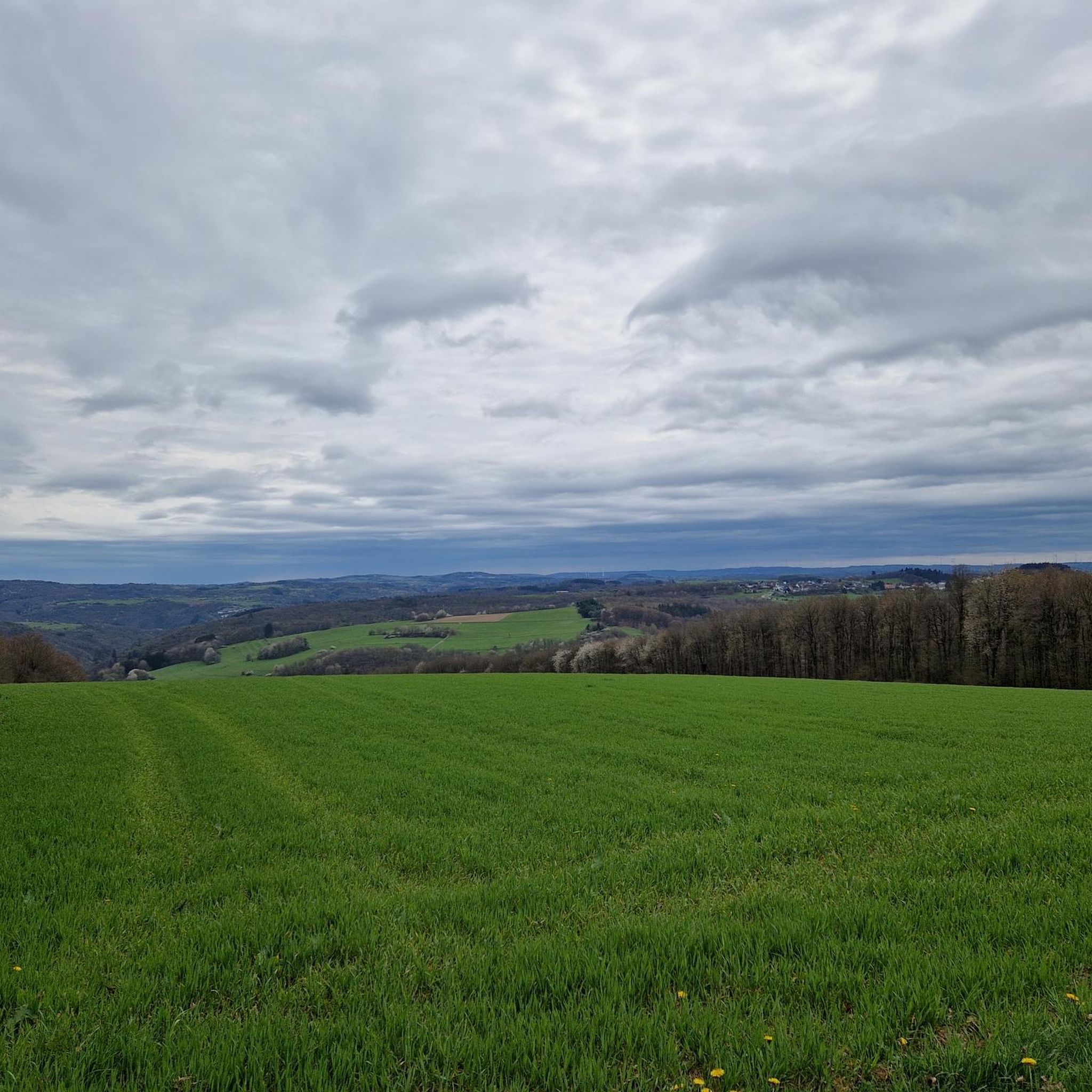
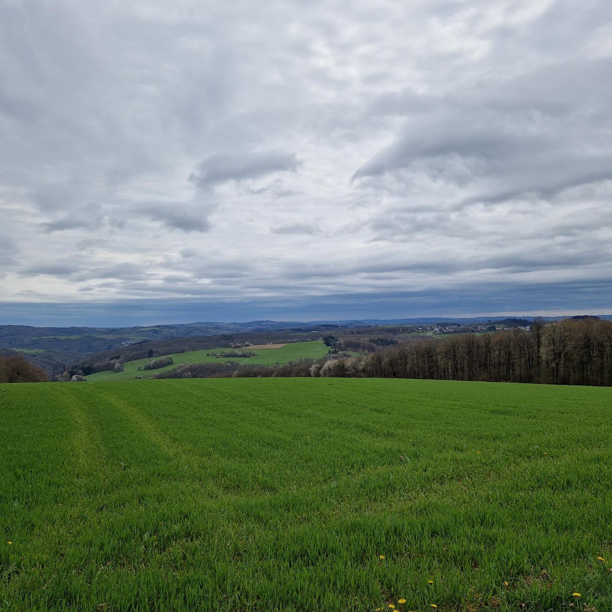
Mountain bike trails around Rötsweiler-Nockenthal traverse the diverse landscapes of Rhineland-Palatinate, characterized by forests, rivers, and volcanic hills. The region offers varied terrain, from rocky passages to flowing paths, providing a range of experiences for mountain bikers. These trails often feature elevation changes and offer views over valleys and natural monuments. The area's geology, shaped by ancient volcanic activity, contributes to its unique and engaging riding environment.
Best mountain bike trails around Rötsweiler-Nockenthal
- The most popular mountain bike trail is Cycling Bridge Over the Nahe – Krechenfels loop from Niederbrombach, a 19.4 miles (31.3 km) moderate trail that takes 2 hours 19 minutes to complete. This route explores the Nahe river valley and passes by notable rock formations.
- Another top favourite among local mountain bikers is Oberstein Pedestrian Zone – His name was Alex Mural loop from Landkreis Birkenfeld, an easy 18.4 miles (29.6 km) path. This trail offers a less strenuous ride through the local area, suitable for a relaxed outing.
- Local mountain bikers also love the Rosselhalde Katzenloch – Erbeskopf Viewpoint loop from Landkreis Birkenfeld, a 29.9 miles (48.2 km) trail leading through varied terrain towards the Erbeskopf viewpoint, often completed in about 3 hours 33 minutes.
- Mountain biking around Rötsweiler-Nockenthal is defined by dense forests, river valleys, and volcanic hills. The network offers options for different ability levels, from easy paths to more challenging ascents and descents.
- The routes in Rötsweiler-Nockenthal are highly rated by the komoot community with an average score of 4.6 stars from over 1000 reviews. More than 2900 mountain bikers have used komoot to explore Rötsweiler-Nockenthal's varied terrain.
Last updated: June 26, 2026
4.4
(17)
44
riders
32.4km
02:20
620m
620m
Moderate mountain bike ride. Good fitness required. Suitable for all skill levels.
4.3
(19)
32
riders
Easy mountain bike ride. Great for any fitness level. Suitable for all skill levels.

Sign up for free
4.6
(8)
29
riders
Moderate mountain bike ride. Good fitness required. Suitable for all skill levels.
4.5
(11)
21
riders
Moderate mountain bike ride. Good fitness required. Advanced riding skills necessary.
5.0
(2)
11
riders
41.0km
03:06
680m
680m
Moderate mountain bike ride. Good fitness required. Advanced riding skills necessary.
Get access to more routes and recommendations from other explorers.
Sign up for free
Already have an account?
Our route recommendations are based on thousands of hikes, rides, and runs completed by other people on komoot.
Start today with a free account
Your next adventure awaits.
Login or Signup
Tips from the Community

There's always something new to discover :-)
0
0
Graffitiwall... there's always something new to discover :-D
0
0

A bit sad and unattractive this pedestrian zone. Even umbrellas don't help.
0
0
It is very nice to ride and also great for a short break
0
0

Some of these figures are located in the city.
0
0

Visits to the Rock Church are currently only possible with a guided tour; daily at 11:00, 13:00 and 15:00
2
0

The "View of Kronweiler" bike tour leads through the picturesque landscape of the Birkenfeld region and offers impressive views of the surrounding area. A special highlight is the Hattgenstein observation tower, which offers a comprehensive view of Birkenfeld and the surrounding valleys. The route is challenging and requires a good level of fitness, but rewards with diverse natural experiences and cultural sights along the way.
0
0
Frequently Asked Questions
How many mountain bike trails are available around Rötsweiler-Nockenthal?
There are over 280 mountain bike trails around Rötsweiler-Nockenthal, offering a wide range of options for different skill levels. You'll find everything from easy paths to more challenging ascents and descents through forests, river valleys, and volcanic hills.
What kind of difficulty levels can I expect on the mountain bike trails in this region?
The trails around Rötsweiler-Nockenthal cater to various skill levels. You'll find approximately 37 easy routes, 220 moderate routes, and 27 difficult routes. This diverse selection ensures there's something for everyone, from relaxed outings to more demanding rides.
Are there any family-friendly mountain bike trails in the Rötsweiler-Nockenthal area?
Yes, the region offers several family-friendly options, particularly among the easier trails. These routes often feature less strenuous rides through the local area, suitable for a relaxed outing with children. An example of an easy path is the Oberstein Pedestrian Zone – His name was Alex Mural loop from Landkreis Birkenfeld.
What are the best times of year for mountain biking around Rötsweiler-Nockenthal?
The region is generally excellent for mountain biking from spring through autumn. The diverse landscapes of forests, rivers, and volcanic hills are particularly beautiful during these seasons. While winter riding is possible, trail conditions can vary, so it's always best to check local weather and trail reports.
What kind of landscapes and views can I expect on the mountain bike trails?
The trails traverse diverse landscapes characterized by dense forests, scenic river valleys, and volcanic hills. You can expect spectacular panoramas, views over the Rosselhalde, and glimpses of the Steinbachtalsperre. The volcanic history of the Eifel region also contributes to unique landscapes with lava floors and maar craters.
Are there any circular mountain bike routes available?
Yes, many of the mountain bike trails around Rötsweiler-Nockenthal are designed as circular routes, allowing you to start and end at the same point. For example, the Cycling Bridge Over the Nahe – Krechenfels loop from Niederbrombach is a popular circular trail exploring the Nahe river valley.
What do other mountain bikers enjoy most about the trails in Rötsweiler-Nockenthal?
The trails in Rötsweiler-Nockenthal are highly rated by the komoot community, with an average score of 4.6 stars from over 1000 reviews. Riders often praise the varied terrain, the beautiful natural scenery, and the options available for different ability levels, from flowing paths to challenging ascents.
Are there any notable natural or historical attractions along the mountain bike routes?
Yes, the region offers a blend of natural and historical attractions. You might encounter natural monuments like the "Kirschweiler Fortress" offering expansive views. The historic ambiance of the Clock Tower City Gate Herrstein and the Historic Old Town of Herrstein are also nearby. For specific natural features, you could explore areas around Allenbacher Pond or Fischwaid Fishing Pond.
Are dogs allowed on the mountain bike trails?
Generally, dogs are welcome on trails in the Rhineland-Palatinate region, but it's always recommended to keep them on a leash, especially in nature reserves, forested areas, or near wildlife. Please be mindful of other trail users and local regulations.
Where can I find parking for mountain biking in Rötsweiler-Nockenthal?
Parking is generally available at trailheads and in nearby towns. Specific parking locations can often be found on individual route descriptions within komoot. Many routes, like the View from Jagdhaus Leisel – Kirschweiler Festung Trailhead loop from Landkreis Birkenfeld, start from accessible points with parking options.
Are there any cafes or restaurants near the mountain bike trails?
Yes, the region has various amenities. While specific cafes or restaurants directly on every trail might be limited, you'll find options in Rötsweiler-Nockenthal and surrounding villages. For example, the Harfenmühle Campsite and Restaurant is located near some routes and offers facilities.
Can I reach the mountain bike trails using public transport?
While some areas in Rhineland-Palatinate are accessible by public transport, direct access to all trailheads might be limited. It's advisable to check local bus or train schedules to see which routes connect to Rötsweiler-Nockenthal and then plan your ride accordingly. Many riders opt to drive to a starting point.
Are there any permits required for mountain biking in the region?
Generally, no specific permits are required for mountain biking on public trails in Rhineland-Palatinate. However, always respect local signage, especially in nature protection areas or private land, and adhere to any rules regarding trail usage.
Most popular routes around Rötsweiler-Nockenthal
Most popular attractions around Rötsweiler-Nockenthal

Get inspired with the komoot mobile app


Explore more
Browse the best MTB trails in other regions.
