San Martin De Tor - San Martino In Badia - St. Martin In Thurn
San Martin De Tor - San Martino In Badia - St. Martin In Thurn
The best road cycling routes around San Martin De Tor - San Martino In Badia - St. Martin In Thurn
4.7
(3990)
152,330
riders
14
rides
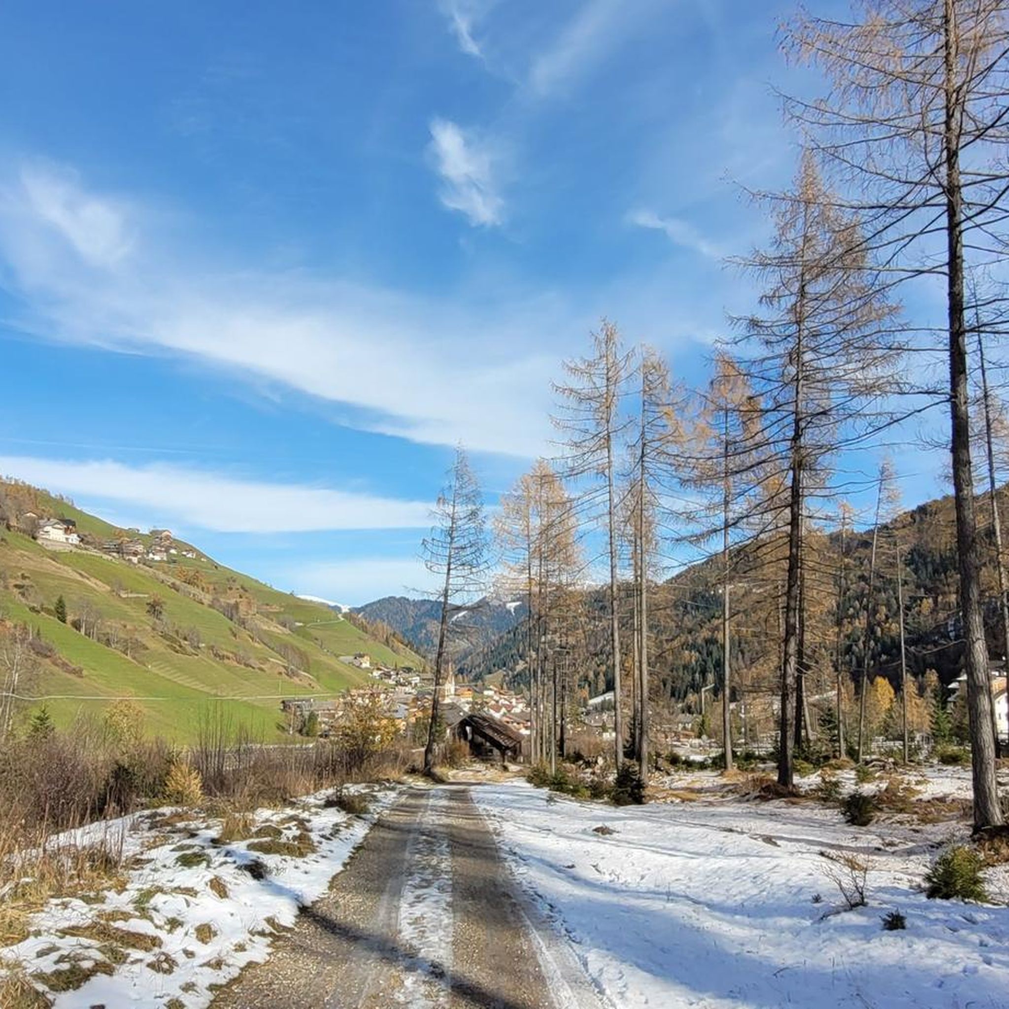
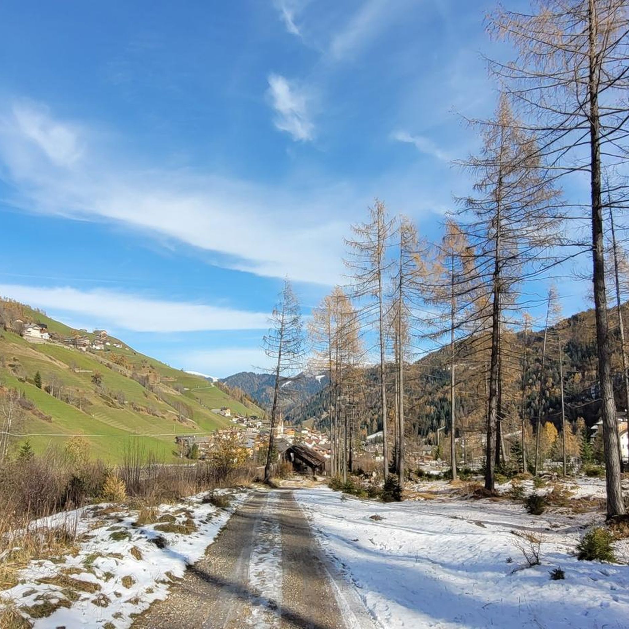
Road cycling routes around San Martin De Tor - San Martino In Badia - St. Martin In Thurn traverse the alpine landscapes of the Dolomites, characterized by high mountain passes, deep valleys, and historic villages. The region features significant elevation changes, with routes often including challenging ascents and descents through forested areas and open meadows. Road cyclists can expect a network of well-maintained roads connecting various points of interest within these dramatic mountain settings.
Best road cycling routes around San…
Last updated: September 28, 2026
4.8
(13)
735
riders
53.5km
02:59
1,110m
1,110m
Hard road ride. Very good fitness required. Mostly well-paved surfaces and easy to ride.
4.9
(43)
874
riders
78.8km
05:28
2,690m
2,690m
Hard road ride. Very good fitness required. Mostly well-paved surfaces and easy to ride.

4.8
(6)
193
riders
Hard road ride. Very good fitness required. Some segments of this route may be unpaved and difficult to ride.
4.8
(6)
113
riders
Moderate road ride. Good fitness required. Mostly well-paved surfaces and easy to ride.
5.0
(1)
88
riders
Hard road ride. Very good fitness required. Mostly well-paved surfaces and easy to ride.
Get access to more routes and recommendations from other explorers.
Already have an account?
Our route recommendations are based on thousands of hikes, rides, and runs completed by other people on komoot.
Start today with a free account
Your next adventure awaits.
Popular around San Martin De Tor - San Martino In Badia - St. Martin In Thurn
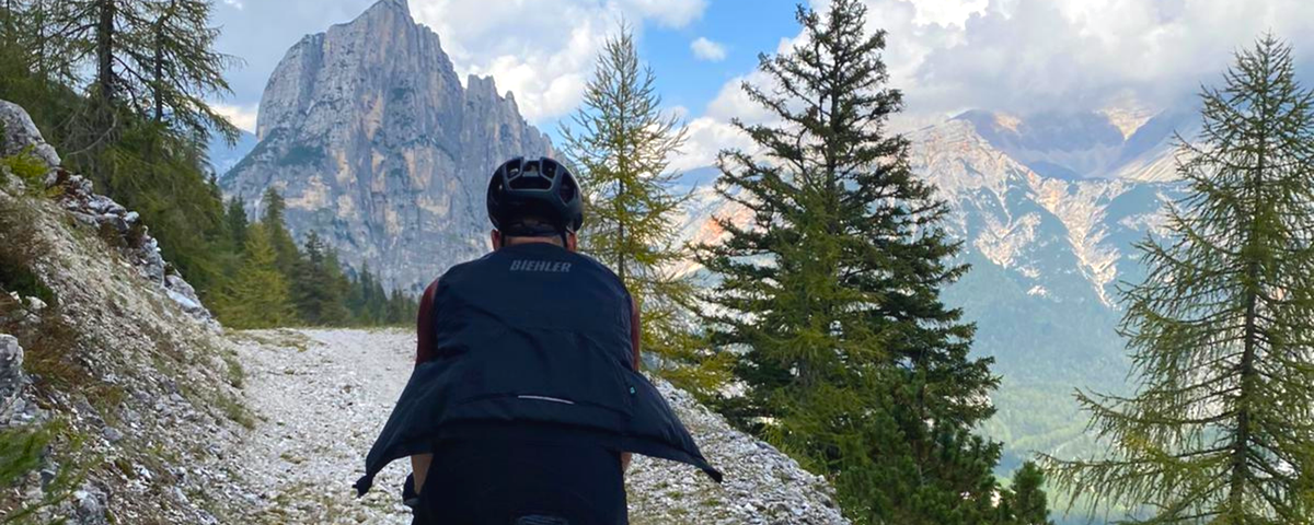
Finding freedom in the Dolomites – 5 days bikepacking
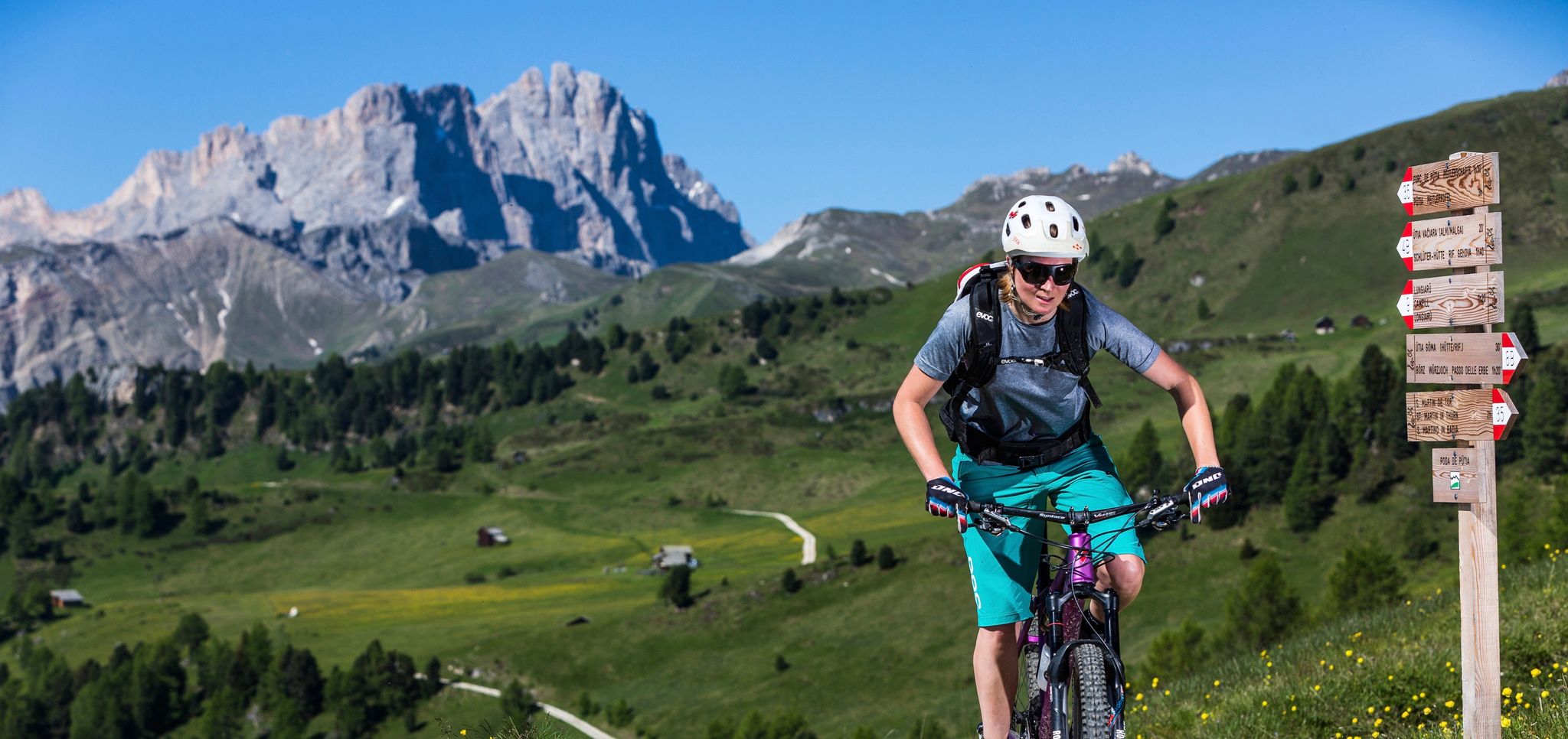
MTB tours in the South Tyrolean Dolomites
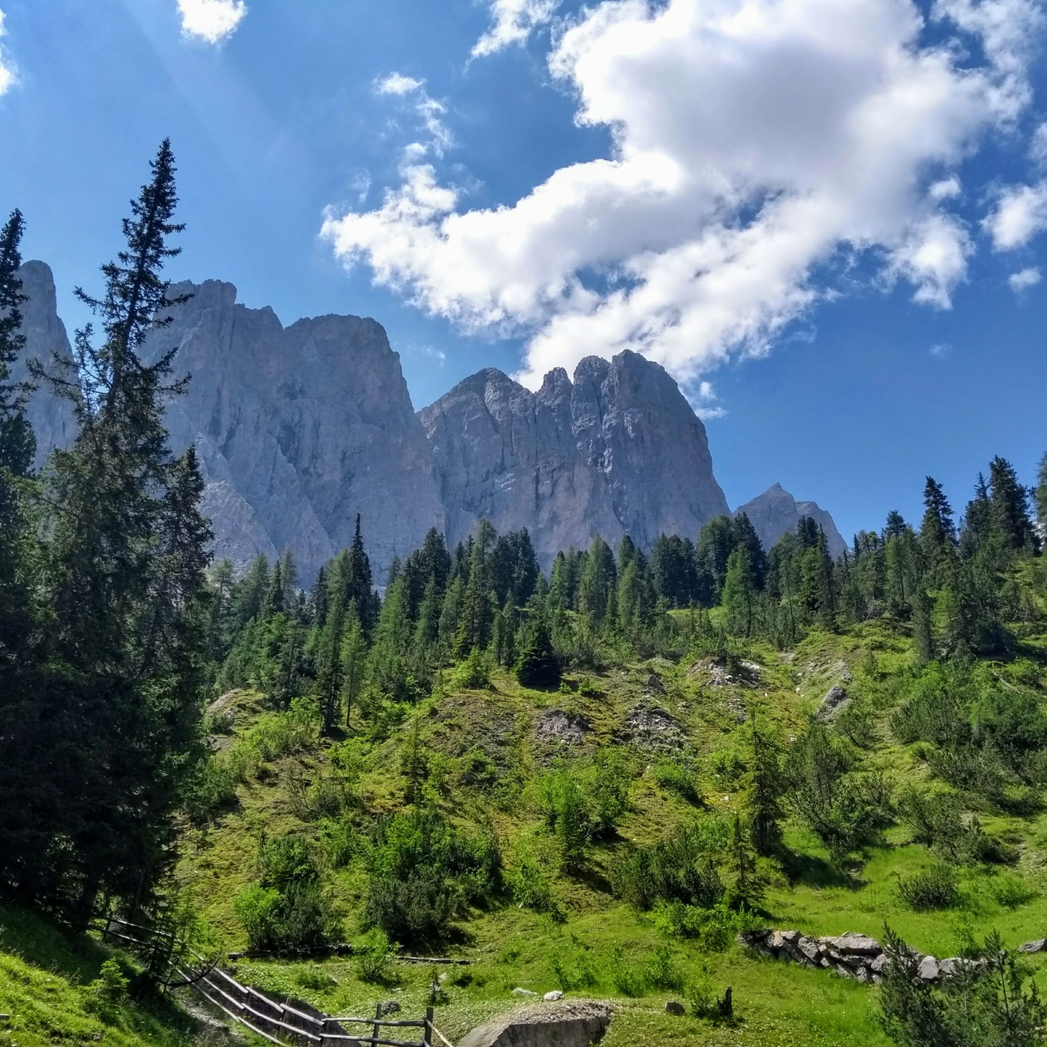
Hiking around San Martin De Tor - San Martino In Badia - St. Martin In Thurn
MTB Trails around San Martin De Tor - San Martino In Badia - St. Martin In Thurn
Cycling around San Martin De Tor - San Martino In Badia - St. Martin In Thurn
Mountain Hikes around San Martin De Tor - San Martino In Badia - St. Martin In Thurn
Running Trails around San Martin De Tor - San Martino In Badia - St. Martin In Thurn

Gravel biking around San Martin De Tor - San Martino In Badia - St. Martin In Thurn
Other adventures around San Martin De Tor - San Martino In Badia - St. Martin In Thurn


Tips from the Community

Super nice place great spot
0
0

Mountain hotel near the pass.
1
0
great little pass
1
0
Nice little church, 2 cafes/bars in the village.
0
0

What a panorama and feeling of achievement to have made it over the pass by bike.
0
0

If you're only planning a one-day hike to the Würzjoch, I recommend the western approach from Brixen, St. Andrä. The approach from Lüsen is definitely worth the extra climb as an alternative. The gradient is undoubtedly very steep for much of the way, but I didn't see the 18-19% mentioned here, at least not on my Wahoo today. The biggest challenge lies in the first half, which is always an advantage in my opinion. The road surface varies greatly from "good" to "disastrous." Traffic was light, so you're mostly alone. (August, peak season) And I don't want to offend anyone, but due to a lack of transportation while on vacation, I (46 years old, averagely "talented" at best) rode up on a rental road bike (11-32 cassette) from the local bike shop (10 kg) without having to dismount. Go for it!!
0
1

The pass is beautifully nestled between the rolling meadows of Lüsen to the north and the Pütia meadows with the steep walls of the eponymous mountain (Sas de Pütia / Peitlerkofel) to the south. From here, you have access to one of South Tyrol's most precious natural landscapes:
6
1
Frequently Asked Questions
How many road cycling routes are available in San Martin De Tor - San Martino In Badia - St. Martin In Thurn?
The region offers a wide selection of road cycling routes, with over 110 tours available. These routes cater to various skill levels, ranging from moderate valley rides to challenging high-altitude ascents through the Dolomites.
Are there easy or beginner-friendly road cycling routes in this area?
Yes, there are 23 easy routes suitable for beginners or those looking for a more relaxed ride. For example, the Castel de Tor loop from Lungiarü is a moderate 25.5 km route with manageable elevation, offering a good introduction to the region's cycling.
What are some challenging road cycling routes for experienced cyclists?
For experienced cyclists seeking a challenge, there are 48 difficult routes. Consider the Rifugio Pederü – Road to Pederü loop from Picolin, a demanding 53.4 km route with over 1,100 meters of elevation gain. Another option is the Brunico Historic Center – View of Peitlerkofel loop, which covers 71 km with over 1,400 meters of climbing.
Are there any loop road cycling routes in San Martin De Tor - San Martino In Badia - St. Martin In Thurn?
Yes, many of the road cycling routes in the region are designed as loops, allowing you to start and finish at the same point. Examples include the Corvara – La Villa (Alta Badia) loop, a 50.7 km route through the Alta Badia region, or the Road to Pederü – View of Peitlerkofel loop, offering scenic views over 51.4 km.
What kind of scenic viewpoints can I expect along the road cycling routes?
The routes often feature breathtaking scenic viewpoints of the Dolomites. You can expect panoramic vistas of iconic peaks like Peitlerkofel, as seen on the Brunico Historic Center – View of Peitlerkofel loop. Many routes traverse high mountain passes and open meadows, providing expansive views of the alpine landscape.
What historical or natural attractions can I see along the road cycling routes?
The region is rich in attractions. You can encounter historical sites like Michelsburg Castle or the Ruins of Wolkenstein Castle. Natural wonders include the stunning Vallunga / Langental Valley, offering dramatic gorge scenery.
What is the best time of year for road cycling in San Martin De Tor - San Martino In Badia - St. Martin In Thurn?
The best time for road cycling in this Dolomite region is typically from late spring (May/June) through early autumn (September/October). During these months, the weather is generally stable, mountain passes are clear of snow, and temperatures are pleasant for cycling. Always check local weather forecasts before heading out.
Are there cafes or places to stop for refreshments along the road cycling routes?
Yes, many routes pass through or near charming villages and towns where you can find cafes, restaurants, and traditional alpine huts. These offer opportunities to refuel, enjoy local cuisine, and take a break. The region is well-equipped to cater to cyclists.
What do other road cyclists enjoy most about cycling in San Martin De Tor - San Martino In Badia - St. Martin In Thurn?
The area is highly rated by the komoot community, with an average score of 4.8 stars from over 2,500 reviews. Cyclists frequently praise the dramatic Dolomite peaks, the challenging yet rewarding mountain passes, and the well-maintained roads that connect picturesque villages and valleys.
Is parking available near the road cycling routes?
Yes, parking is generally available in the main villages and at popular starting points for routes. Many towns, such as San Martin De Tor, offer designated parking areas. It's advisable to check specific starting points for the most convenient parking options.
What are the typical distances and elevation gains for road cycling routes in this region?
Routes vary significantly. Easy routes might cover 20-30 km with a few hundred meters of elevation, while difficult routes can span 50-70 km or more, often featuring over 1,000 meters of climbing. For instance, the Rifugio Pederü loop is 53.4 km with 1,104 meters of ascent.
Most popular routes around San Martin De Tor - San Martino In Badia - St. Martin In Thurn
Most popular attractions around San Martin De Tor - San Martino In Badia - St. Martin In Thurn

Get inspired with the komoot mobile app


Explore more
Browse the best Road cycling routes in other regions.
