The best road cycling routes around Rosenthal-Bielatal
4.5
(253)
4,201
riders
122
rides
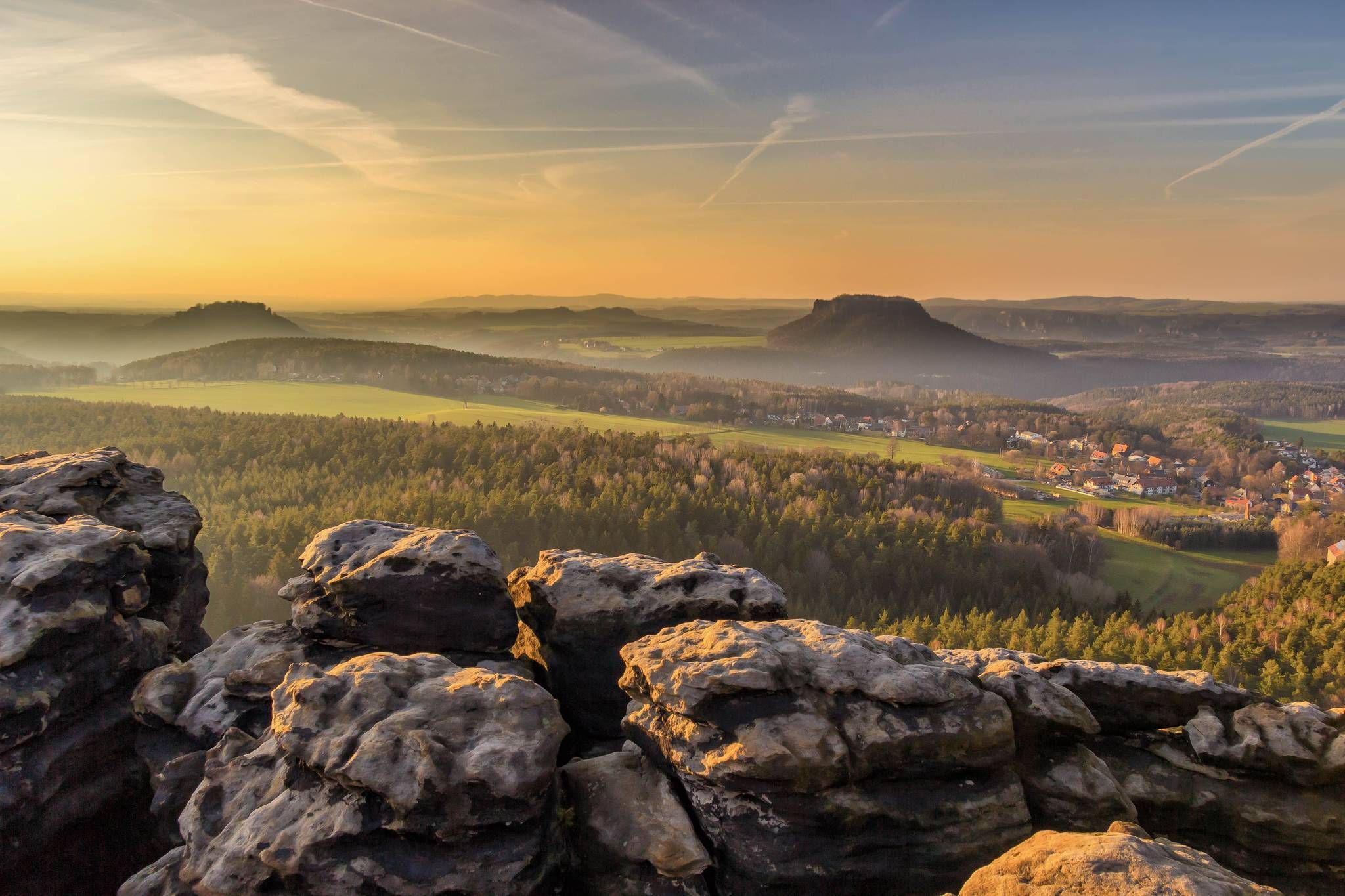
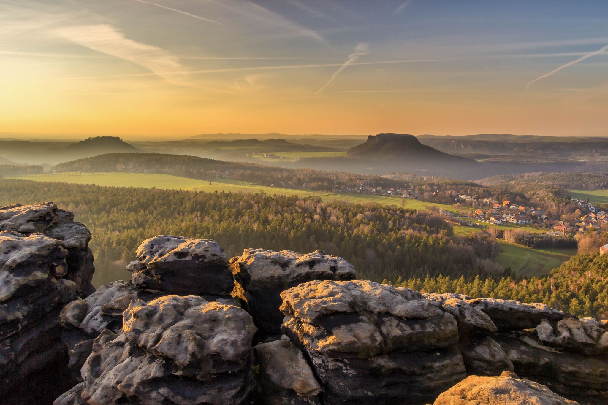
Road cycling routes around Rosenthal-Bielatal are characterized by the dramatic sandstone landscapes of the Elbe Sandstone Mountains, featuring unique rock formations and extensive forests. The region's terrain includes varied elevation changes, from the Biela River valley at 160 meters to the highest point at 533 meters in Glasergrund. Road cyclists can expect routes that navigate through deep valleys, past distinctive rock towers, and offer panoramic views of the surrounding Saxon and Bohemian Switzerland.
Best road cycling routes around Rosenthal-Bielatal
- The…
Last updated: July 11, 2026
5.0
(2)
60
riders
89.1km
04:27
1,290m
1,290m
Hard road ride. Very good fitness required. Some segments of this route may be unpaved and difficult to ride.
5.0
(7)
65
riders
Hard road ride. Very good fitness required. Mostly well-paved surfaces and easy to ride.

Sign up for free
5.0
(2)
19
riders
46.1km
02:15
690m
700m
Moderate road ride. Good fitness required. Mostly well-paved surfaces and easy to ride.
5.0
(1)
22
riders
Moderate road ride. Good fitness required. Some segments of this route may be unpaved and difficult to ride.
5.0
(1)
25
riders
Easy road ride. Great for any fitness level. Mostly well-paved surfaces and easy to ride.
Get access to more routes and recommendations from other explorers.
Sign up for free
Already have an account?
Our route recommendations are based on thousands of hikes, rides, and runs completed by other people on komoot.
Start today with a free account
Your next adventure awaits.
Login or Signup
Popular around Rosenthal-Bielatal
Forststeig – 7 days in the wild, remote sandstone mountains
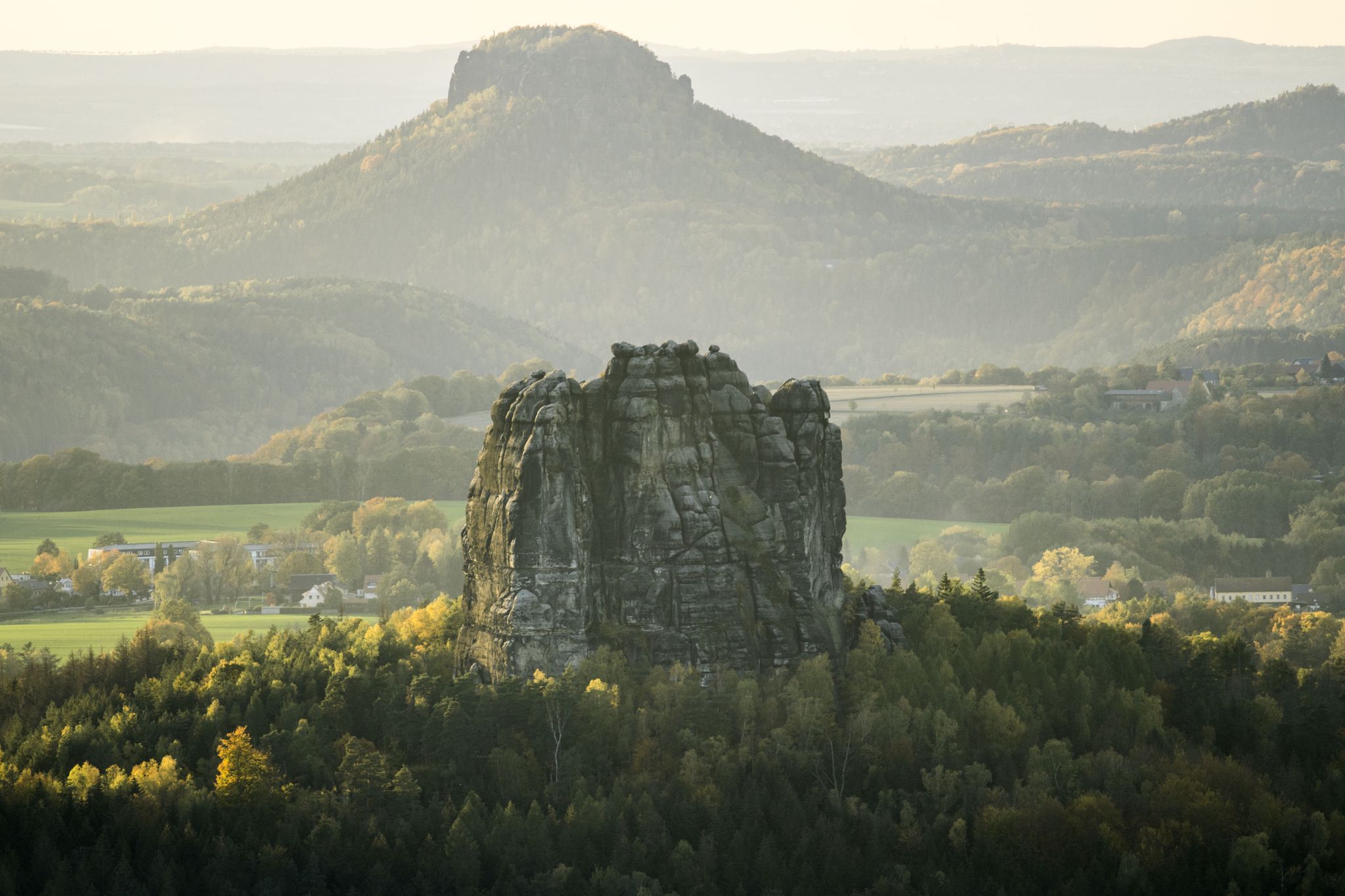
National Park Region Saxon Switzerland: Hiking Recommendations 2023
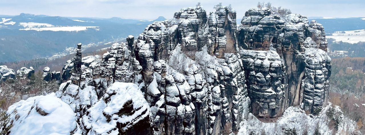
Winterwanderungen in der Sächsischen Schweiz
Wanderempfehlungen Nationalparkregion Sächsische Schweiz
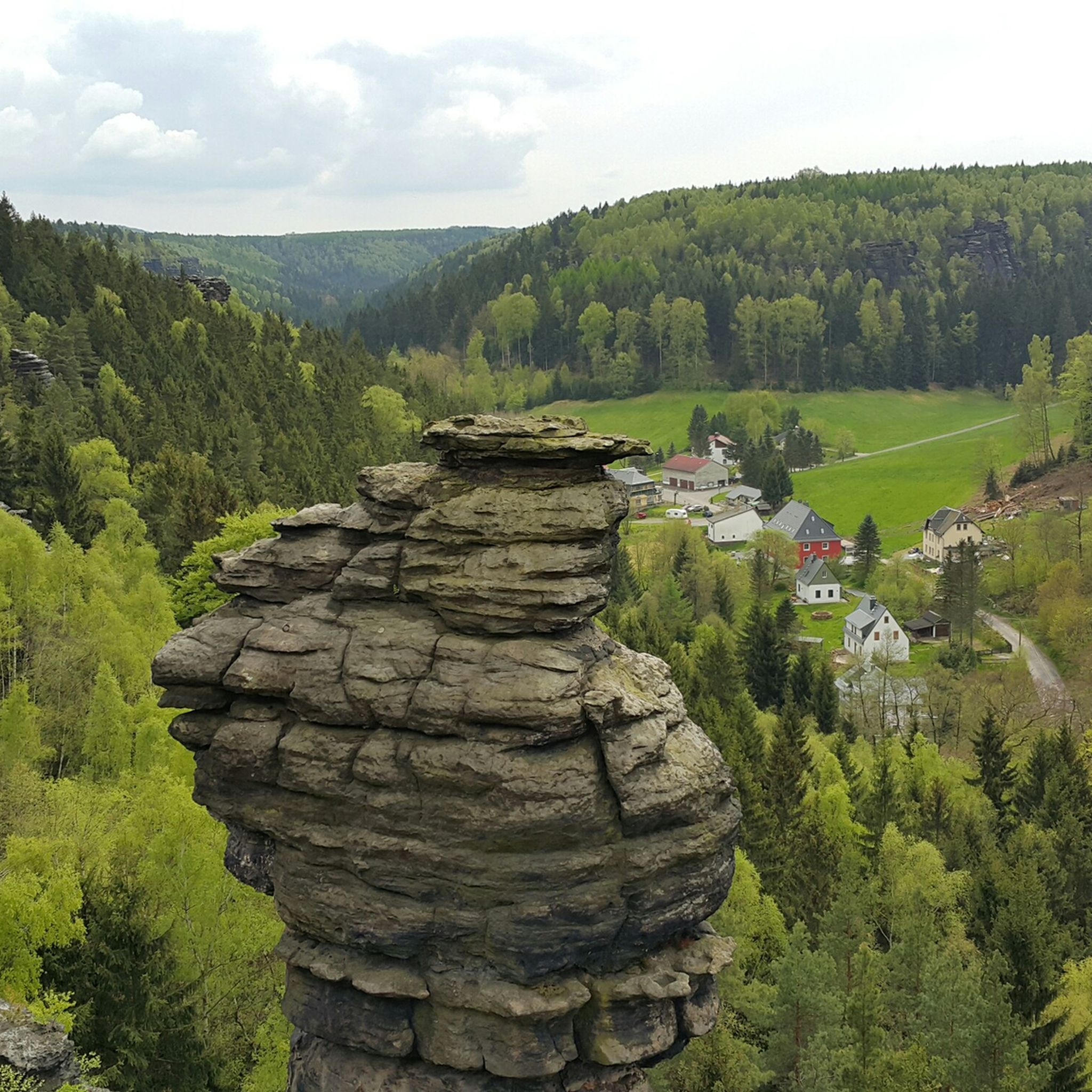
Hiking around Rosenthal-Bielatal
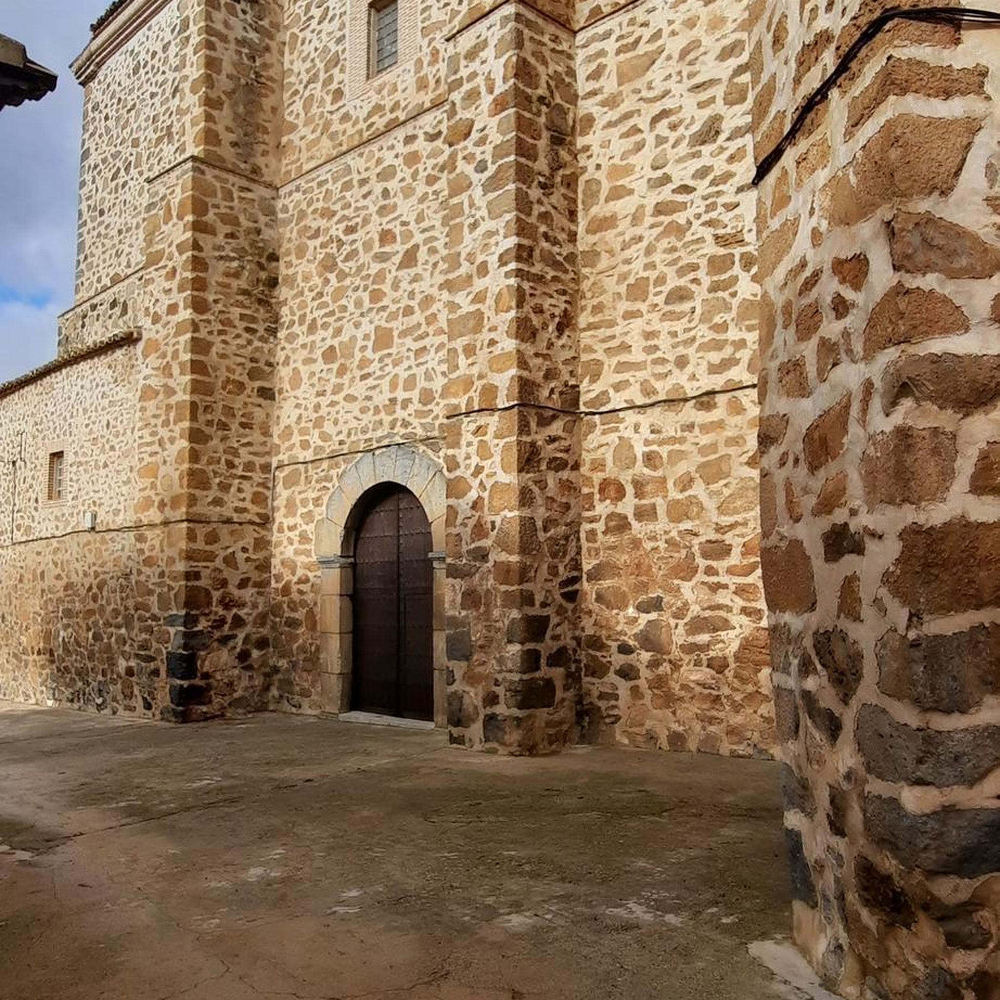
Gravel biking around Rosenthal-Bielatal
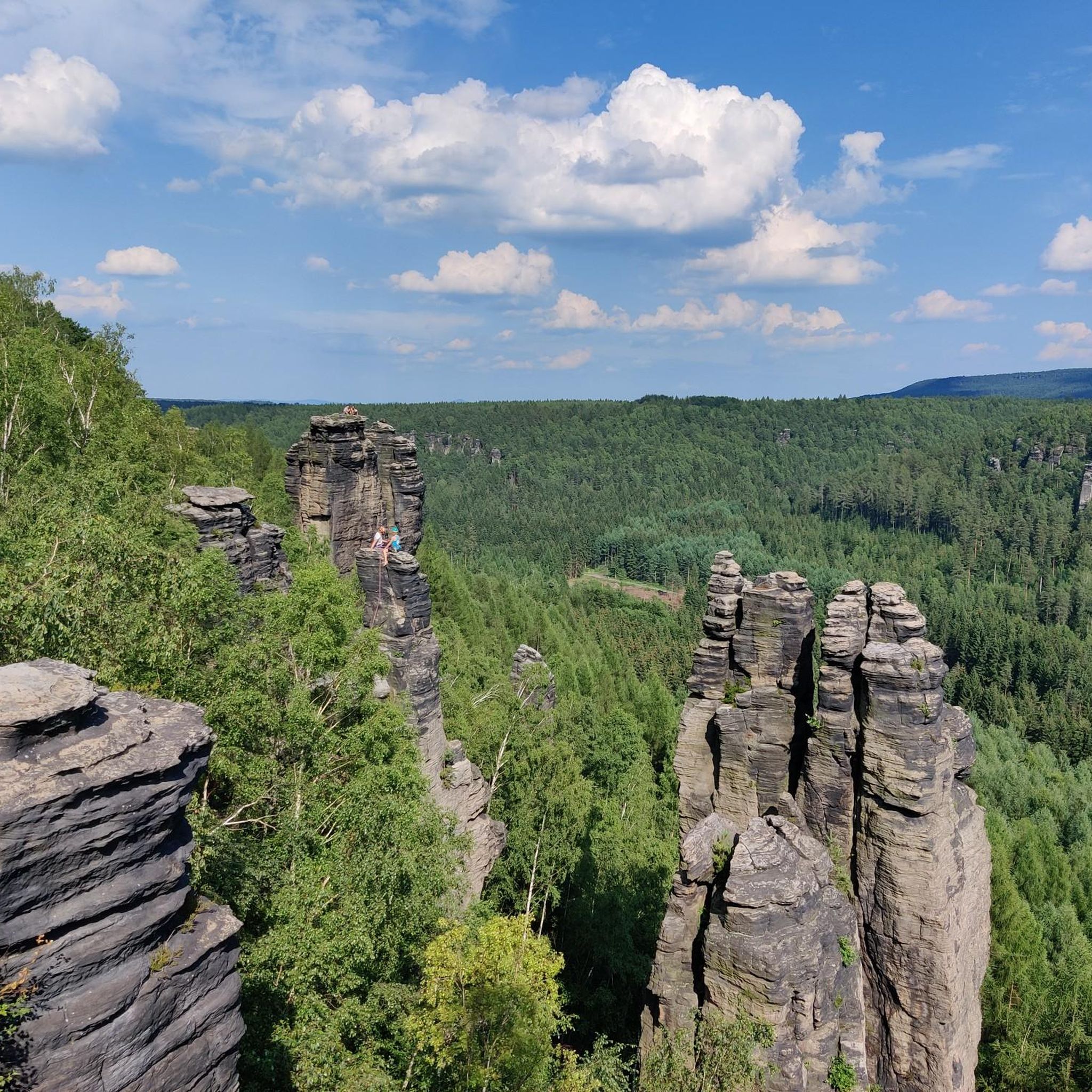
MTB Trails around Rosenthal-Bielatal
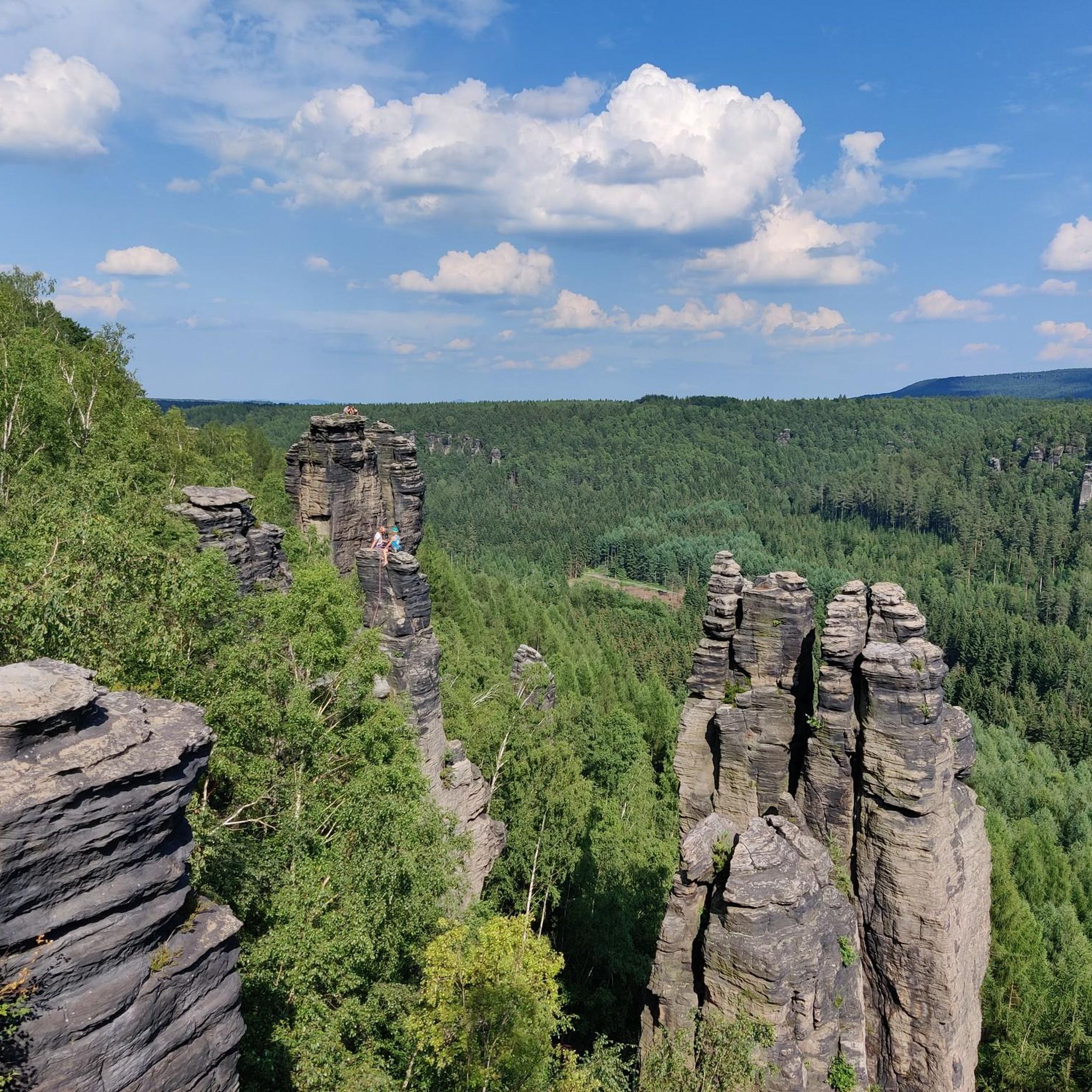
Cycling around Rosenthal-Bielatal
Mountain Hikes around Rosenthal-Bielatal
Running Trails around Rosenthal-Bielatal
Other adventures around Rosenthal-Bielatal


Tips from the Community

Wonderful panoramic road as a reward after completing the climb.
0
0

The Carolabrücke in Bad Schandau is a historic, 187-meter-long railway bridge over the Elbe, built between 1874 and 1877. It connects Bad Schandau with Rathmannsdorf and is an important structure on the Bautzen–Bad Schandau railway line. Today, after extensive renovation, it primarily serves rail traffic.
3
0
The Elbbrücke Bad Schandau, a central structure of the B172 built in 1977, was closed in November 2024 due to safety deficiencies. After a successful load test, it has been open to traffic up to 7.5 tons again since April 2025. Despite the reopening, a replacement new build is planned in the long term, while a temporary bridge is intended to provide relief.
3
0

Indeed a bit "nasty", as it doesn't end so quickly. Therefore, I took my courage in both hands and went for it. Pedal, breathe and wait until the climb is over.
0
0

It's just incredibly beautiful here 😊.
0
2
The bike path is nice and wide. And the view makes you want to go hiking.
0
0

Fantastically beautiful rest area with a view of Rathewalde and Saxon Switzerland (with bench, table and bike rack).
1
0

View of the white quarries.
0
0
Frequently Asked Questions
How many road cycling routes are available in Rosenthal-Bielatal?
Rosenthal-Bielatal offers a diverse network of over 120 road cycling routes. These routes cater to various fitness levels, with options ranging from easy, scenic rides to challenging tours with significant elevation gains.
What kind of terrain and elevation changes can I expect on road cycling routes in Rosenthal-Bielatal?
The region is characterized by the dramatic sandstone landscapes of the Elbe Sandstone Mountains, featuring unique rock formations and extensive forests. Road cyclists will encounter varied elevation changes, from the Biela River valley at 160 meters to the highest point at 533 meters in Glasergrund. Routes often navigate through deep valleys, past distinctive rock towers, and offer panoramic views, providing a dynamic cycling experience with both challenging climbs and scenic, less strenuous sections.
Are there road cycling routes suitable for beginners or those looking for an easy ride?
Yes, Rosenthal-Bielatal offers several routes suitable for beginners. There are 16 easy routes available. For example, the View of Königstein Fortress – Elbe bridge Bad Schandau loop from Königstein is a shorter, easier option, perfect for a more relaxed ride.
What are some challenging road cycling routes for experienced riders?
For experienced road cyclists seeking a challenge, Rosenthal-Bielatal has 41 difficult routes. Notable options include the View of Děčín – Ascent to Děčínský Sněžník loop from Königstein (Sächs Schweiz) Hp, which is a demanding 89.4 km route with significant elevation gain and cross-border views towards the Czech Republic. Another challenging option is the View of Bad Schandau – Liebethal Gorge Road loop from Königstein/Sächs. Schw., an 80.6 km path with challenging climbs.
What natural features and landmarks can I see along road cycling routes in Rosenthal-Bielatal?
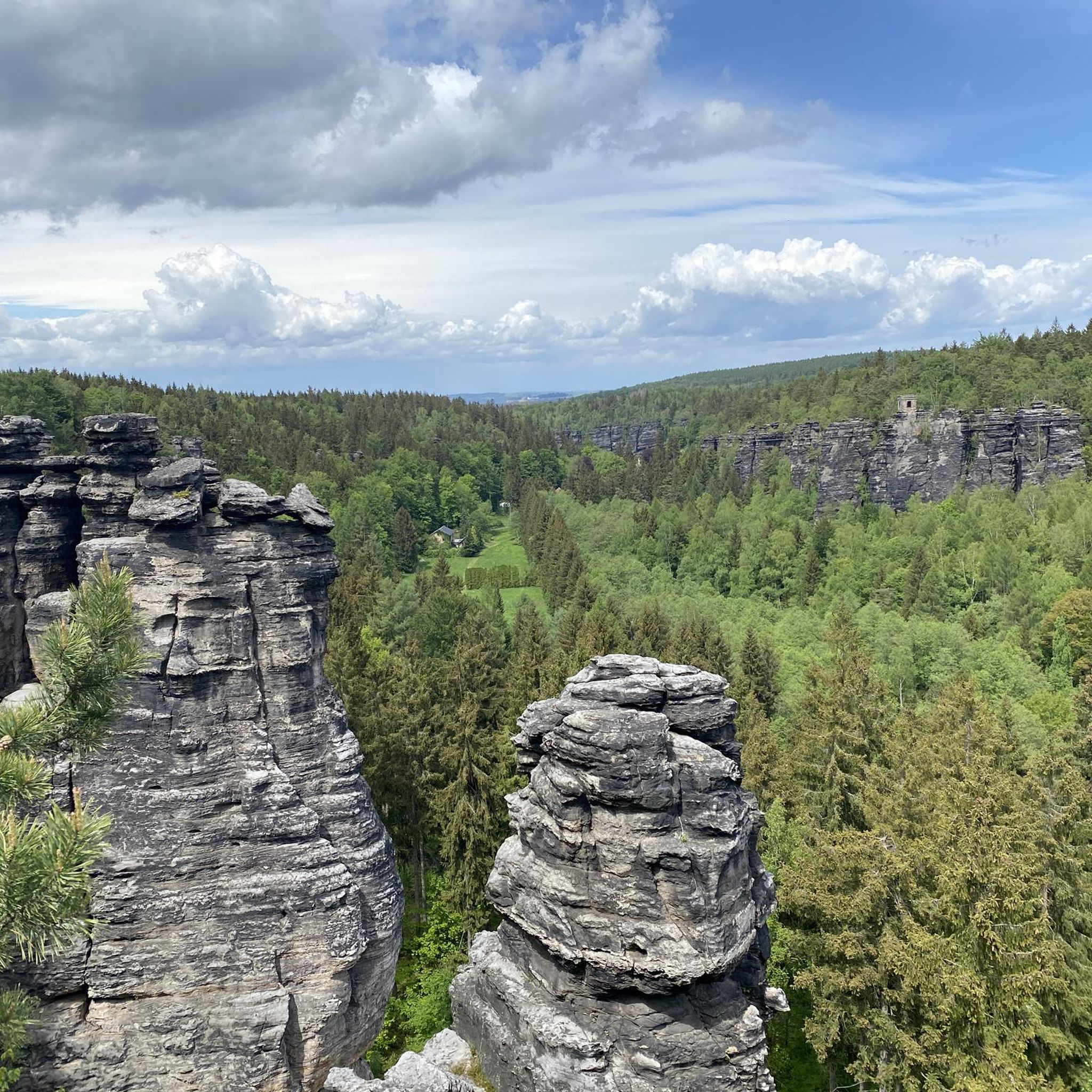
Road cycling routes in Rosenthal-Bielatal offer stunning views of the unique sandstone landscape, including bizarre rock formations like the Herkulessäulen (Hercules Columns) and the Schiefer Turm (Leaning Tower). You can also enjoy panoramic views of the large table mountains in Saxon and Bohemian Switzerland. Nearby attractions include the iconic Bastei Bridge, the dramatic Schwedenlöcher gorge, and various viewpoints like the Bastei Viewpoint and Schrammstein Viewpoint. The Biela River itself carves through the landscape, creating picturesque valleys.
Are there any circular road cycling routes in the region?
Yes, many road cycling routes in Rosenthal-Bielatal are designed as loops, allowing you to start and end at the same point. Examples include the Between Bahra and space – View of Saxon Switzerland loop from Mandarin, a moderate 46.1 km route, and the View of Königstein – View of Königstein Fortress loop from Langenhennersdorf.
What is the best time of year to go road cycling in Rosenthal-Bielatal?
The spring, summer, and early autumn months generally offer the best conditions for road cycling in Rosenthal-Bielatal. During these seasons, the weather is typically mild, and the extensive forests provide a lush, green backdrop. The Biela River maintains water even during dry periods, adding to the scenic beauty. It's always advisable to check local weather forecasts before heading out.
Can I connect to the Elbe Cycle Path from Rosenthal-Bielatal?
Yes, Rosenthal-Bielatal's well-signposted cycle paths allow cyclists to connect to broader networks, including the renowned Elbe Cycle Path. This offers opportunities to extend your ride along the Elbe River and explore more of the Saxon Switzerland region.
What do other road cyclists enjoy most about cycling in Rosenthal-Bielatal?
The road cycling routes in Rosenthal-Bielatal are highly rated by the komoot community, with an average score of 4.5 stars from over 160 reviews. Cyclists often praise the region's unique sandstone rock formations, the dense forests, and the deep river valleys that define the landscape. The varied terrain and stunning panoramic views of Saxon and Bohemian Switzerland are frequently highlighted as major attractions.
Are there options for parking and public transport access for cyclists in Rosenthal-Bielatal?
Rosenthal-Bielatal is an accessible region for cyclists. While specific parking information for each route varies, many starting points for tours are located near villages or popular attractions where parking facilities are available. For public transport, the region is part of the Saxon Switzerland transport network, and some routes may be accessible via local bus services or train stations in nearby towns like Königstein, which can connect you to the wider area.
Are there any lakes or water features to see while road cycling?
While the Biela River is a prominent water feature carving through the valley, there are also nearby lakes that can be explored. For instance, the Amselsee is a beautiful lake in the vicinity, offering picturesque views and a tranquil atmosphere. You might also find highlights like the View of the Talwächter from the Amselsee Bridge.
Are there any less crowded road cycling routes in Rosenthal-Bielatal?
While the main attractions can draw visitors, the extensive network of over 120 routes means it's possible to find quieter paths, especially on weekdays or by exploring some of the moderate to difficult routes that venture deeper into the forests and less frequented areas. The region's vastness allows for a sense of solitude even during peak seasons.
Most popular routes around Rosenthal-Bielatal
Most popular attractions around Rosenthal-Bielatal

Get inspired with the komoot mobile app


Explore more
Browse the best Road cycling routes in other regions.
