The best mountain hikes around Strembo
4.8
(31)
303
hikers
15
hikes
Mountaineering routes Strembo provide access to the expansive Adamello Brenta Nature Park, nestled within the Val Rendena valley. The region is characterized by the majestic Adamello, Presanella, and Brenta Dolomites mountain ranges, offering diverse terrain from challenging peaks to glacial landscapes. Numerous valleys like Val Genova feature impressive waterfalls and serve as gateways to demanding routes, while others like Val Rocchette present unexplored natural beauty.
Best mountaineering routes around Strembo
- The most popular mountaineering route is Sentiero dei Fiori Via…
Last updated: August 14, 2026
5.0
(7)
64
hikers
Hard mountaineering route. Good fitness required. Sure-footedness, sturdy shoes and alpine experience required.
5.0
(2)
22
hikers
10.9km
04:21
550m
560m
Moderate mountaineering route. Good fitness required. Mostly accessible paths. Sure-footedness required.

Sign up for free
5.0
(1)
22
hikers
17.3km
07:57
1,120m
1,120m
Hard mountaineering route. Very good fitness required. Sure-footedness, sturdy shoes and alpine experience required.
4.0
(2)
22
hikers
Hard mountaineering route. Good fitness required. Sure-footedness, sturdy shoes and alpine experience required.
5.0
(2)
19
hikers
11.7km
05:39
960m
960m
Hard mountaineering route. Very good fitness required. Sure-footedness, sturdy shoes and alpine experience required.
Get access to more routes and recommendations from other explorers.
Sign up for free
Already have an account?
Our route recommendations are based on thousands of hikes, rides, and runs completed by other people on komoot.
Start today with a free account
Your next adventure awaits.
Login or Signup
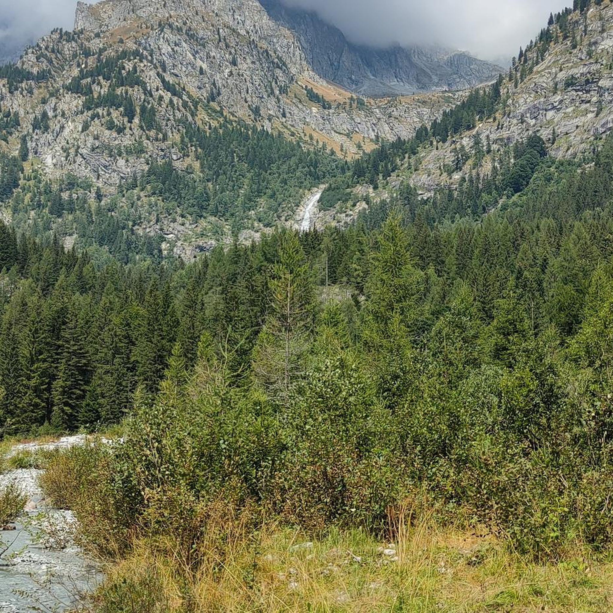
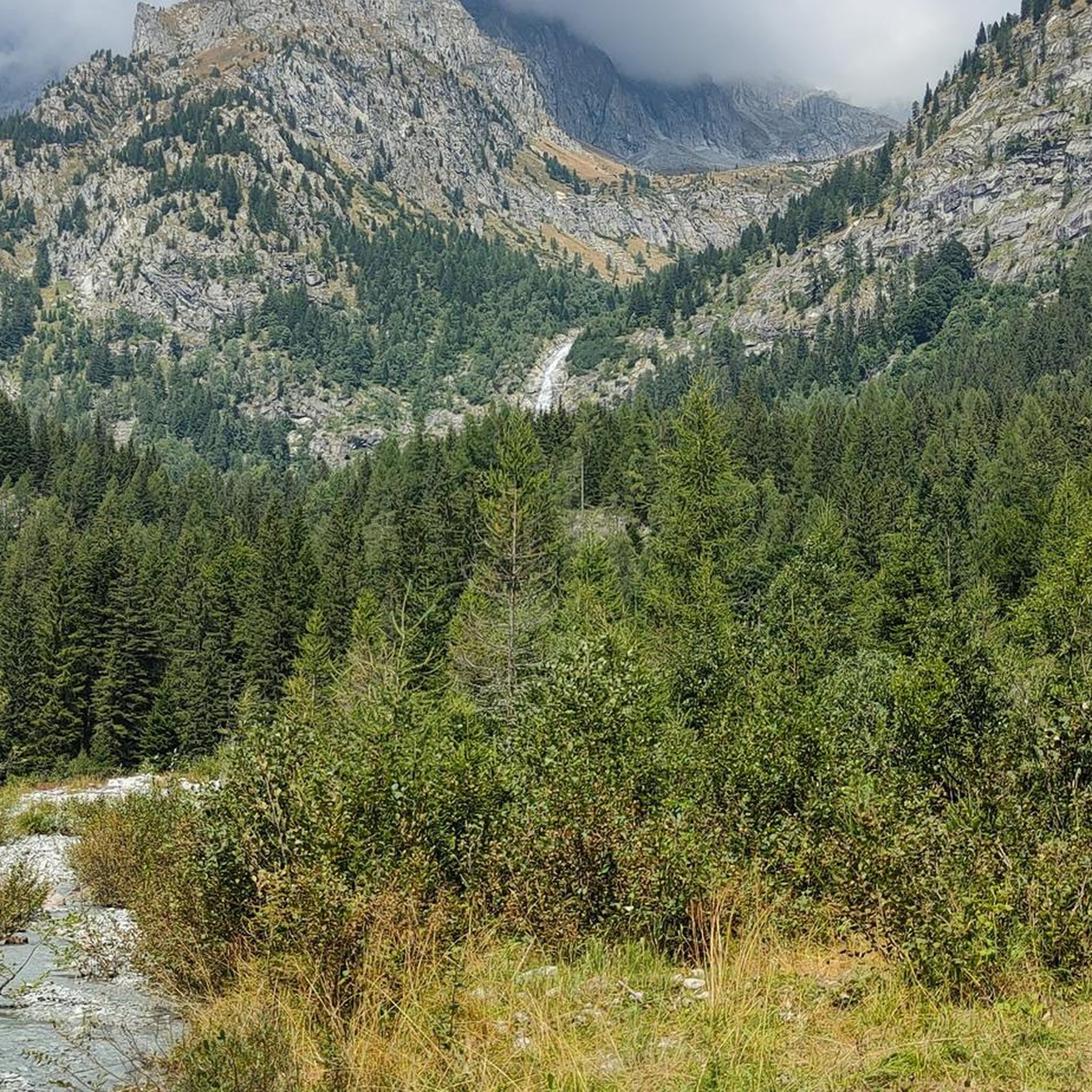
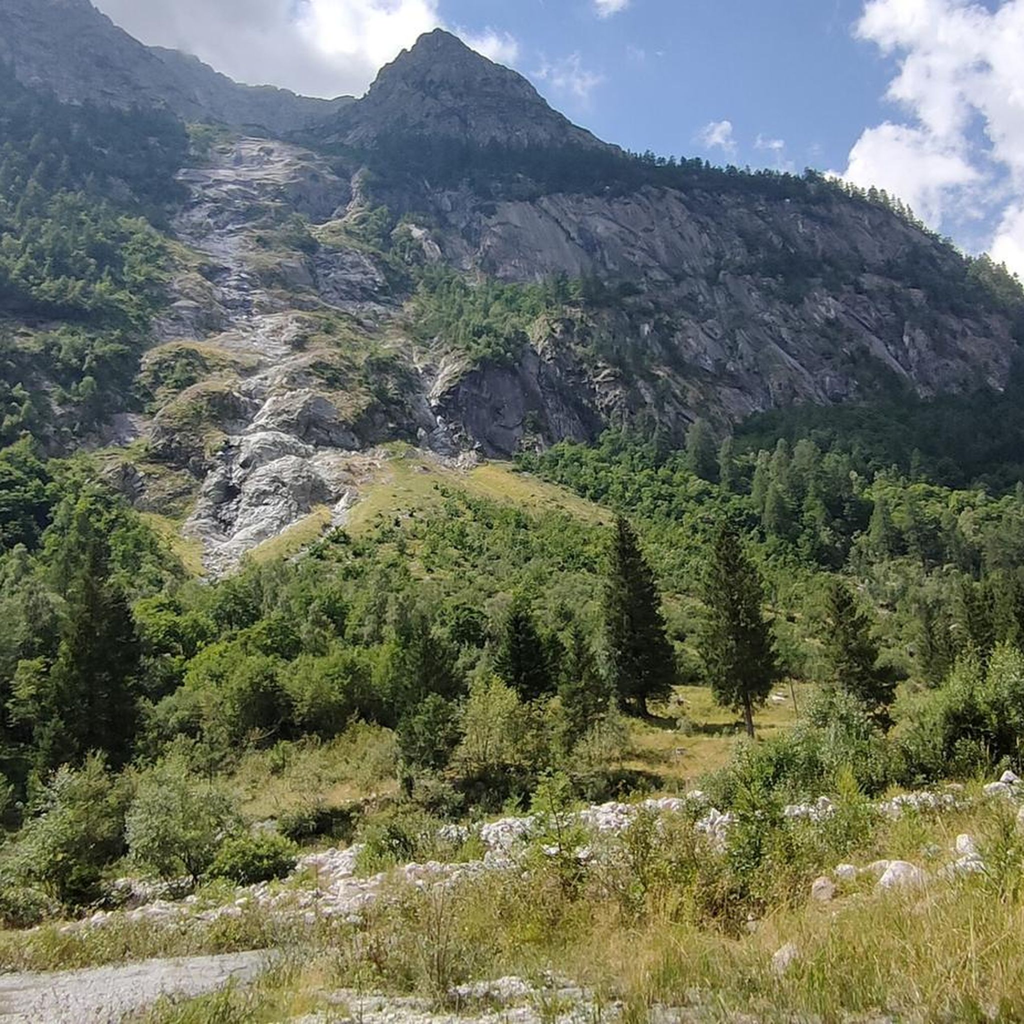
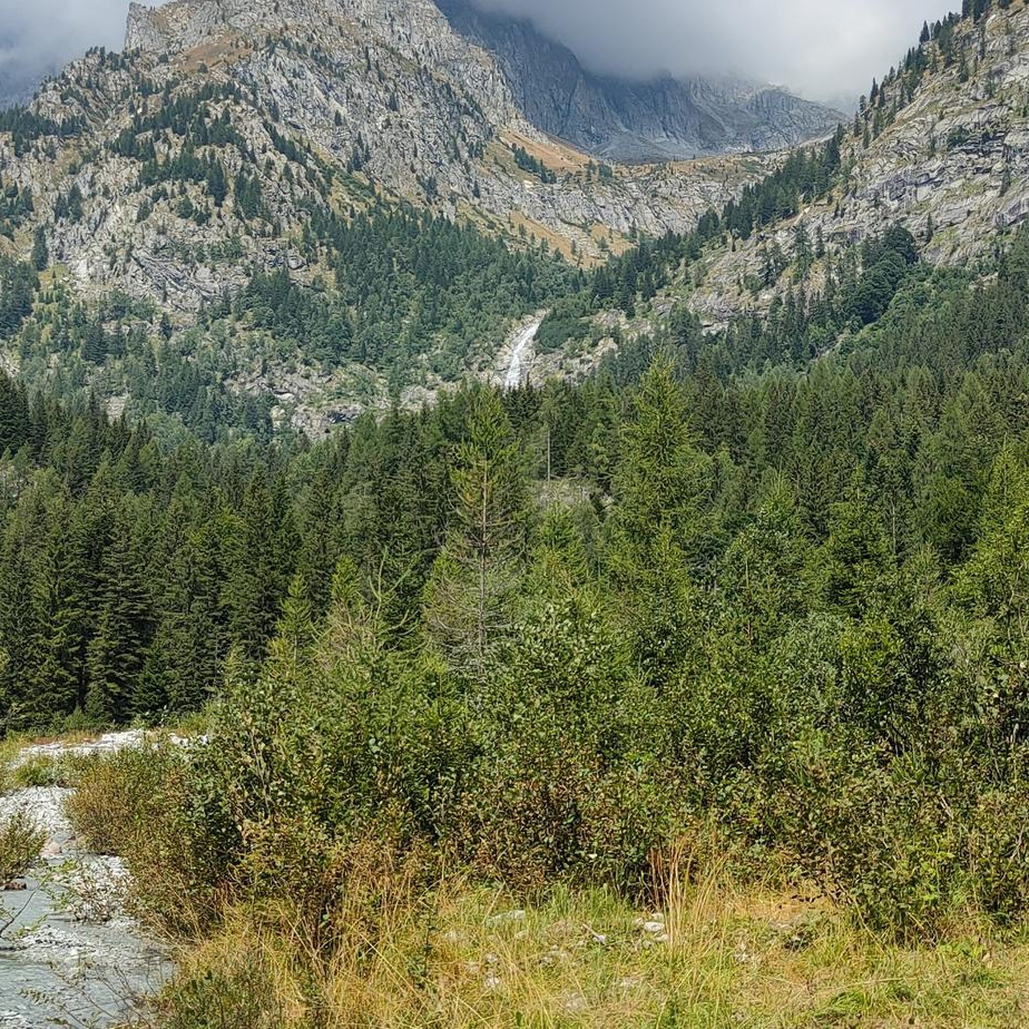
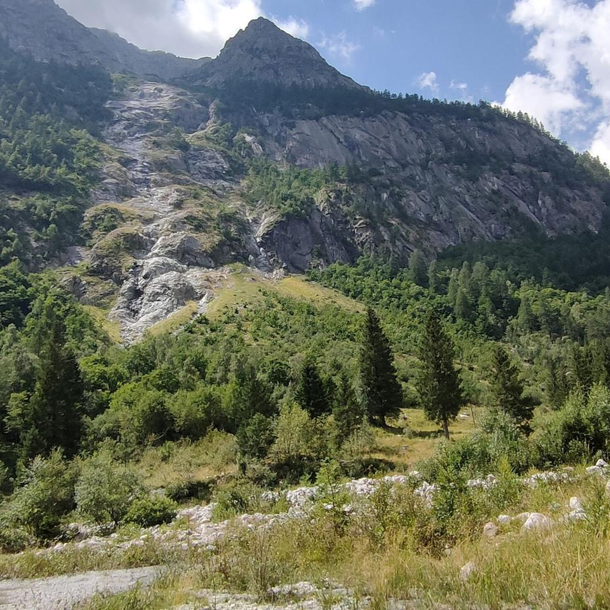
Tips from the Community

The Passo dei Contrabbandieri is an alpine pass located at an altitude of 2,681 meters that connects Trentino (municipality of Vermiglio) with Lombardy (municipality of Ponte di Legno), positioned right on the southern border of the Stelvio National Park. The pass represents a splendid destination for summer trekking, offering a panoramic view that ranges from the Ortles-Cevedale group to the north to the Adamello-Presanella to the south. Starting point: Passo del Tonale (Ospizio San Bartolomeo area). You ascend along a dirt road to Malga Valbiolo (2,244 m). During the summer season, it is possible to shorten the walk by using the ski lifts. From the malga, take the CAI trail no. 111 which leads directly to the pass through a final steep and stony section. The total positive elevation gain on foot from Tonale is about 740 meters, requiring an average of 2 hours and 20 minutes for the ascent alone. Difficulty: Hiking (E). It is a walk without technical difficulties but tiring due to the final slope; mountain boots are strongly recommended.
1
0

Modern and cozy, with indoor and outdoor tables with glacier view. Worth the visit!
0
0

The Valbiolo chairlift is the quickest way to reach the Malga Valbiolo mountain hut (2,244 m) starting from the Trentino side of the Passo del Tonale. The upper station of the lift is located right next to the hut.
0
0

Chapel at Ref. Mandron...view of the glaciers and the Val Genova
0
0


Brand new refuge, restaurant with large windows offering stunning views of the glacier. Even if it's cool outside, you won't miss out on the breathtaking beauty inside. Self-service outside, service inside. Friendly staff.
0
0

For all Alpine crossers! The fun ends at Lago di Val D'Agola; beyond the lake, the merciless climb up to the Bärenpass begins 😅.
0
0

A pass located at 2,681 meters above sea level, on the watershed dividing northern Trentino from Lombardy, so called because during the Austro-Hungarian reign, smugglers passed through it carrying contraband goods. It was the site of trench warfare during the First World War, and today, the imposing ruins of trenches, barracks, and Italian army posts can still be seen on the great ridge that, starting from Cima Cadì, passed over western Monte Tonale, Cima Casaiole, and then from Passo dei Contrabbandieri, ascended first to Albiolino and then to Punta d'Albiolo, opposing the Austro-Hungarians who occupied Torrione d'Albiolo and the entire ridge descending from it, to eastern Monte Tonale and today's "Città morta" (Dead City), with a bold cantilevered engineering feat, still partially visible from the 1960s and 1970s. From the pass you can enjoy interesting views both to the north and to the south.
7
1
Frequently Asked Questions
What kind of mountaineering routes can I expect around Strembo?
Strembo, located within the Adamello Brenta Nature Park, offers a diverse range of mountaineering experiences. You'll find routes traversing the majestic Brenta Dolomites with their sheer rock faces, and the rugged Adamello-Presanella Massif, home to a vast glacier. The region features everything from moderate ascents to challenging high-alpine expeditions, often leading through glacial landscapes and past dramatic waterfalls in valleys like Val Genova.
Are there any family-friendly mountaineering options near Strembo?
While many routes are challenging, some areas offer more accessible experiences. Val Genova, known for its numerous waterfalls, has trails suitable for families. For a less strenuous but rewarding mountaineering experience, consider the Lago di San Giuliano – Lago di Garzoné loop from Pöc da li Fafc, which is rated moderate and traverses scenic lake areas.
What are some notable natural features or landmarks I can see on routes around Strembo?
The region is rich in natural beauty. You can encounter spectacular waterfalls like the Nardis Waterfalls in Val Genova, tranquil spots like Lake Valagola, and scenic mountain passes such as Passo Duron and Passo Bregn de l'Ors. Many routes also offer panoramic views of the Brenta Dolomites and the Adamello-Presanella Massif.
Are there any circular mountaineering routes available?
Yes, several routes offer a circular experience. A popular moderate option is the Lago di San Giuliano – Lago di Garzoné loop from Pöc da li Fafc. For a more challenging high-alpine adventure, consider the Sentiero dei Fiori Via Ferrata – Cima Presena Summit Viewpoint loop from Passo Paradiso (o del Monticello).
What is the best season for mountaineering in Strembo?
The best season for mountaineering in Strembo generally runs from late spring to early autumn (June to September). During these months, trails are typically free of snow at lower to mid-altitudes, and weather conditions are more stable. High-alpine routes, especially those involving glaciers, are best tackled in mid-summer (July-August) when snowmelt is significant, though conditions can change rapidly at altitude.
Do I need any special permits for mountaineering in the Adamello Brenta Nature Park?
Generally, no specific permits are required for hiking and mountaineering on marked trails within the Adamello Brenta Nature Park. However, it's always advisable to check the official Adamello Brenta Nature Park website or local tourist information for any specific regulations, especially concerning protected areas, overnight stays, or guided activities. For general information about the region, you can visit visittrentino.info.
How difficult are the mountaineering routes around Strembo?
The routes around Strembo cater to a wide range of abilities. Out of 20 available routes, 4 are rated as moderate, offering rewarding experiences without extreme technical demands. The majority, 16 routes, are classified as difficult, involving significant elevation gain, longer distances, and potentially technical sections or high-alpine environments. Always check the specific route details before heading out.
Are there any routes that feature glaciers or high-altitude environments?
Yes, the region is known for its glacial landscapes. The Adamello-Presanella Massif boasts the largest glacier in the Italian Alps. A notable route that takes you through such an environment is the Waterfall – Presena Glacier loop from Rifugio Adamello Collini al Bedole, which combines waterfalls with glacial scenery. Another challenging option is the Cima Presanella – Ghiacciaio di Monte Nero loop from Rifugio Segantini.
What do other mountaineers say about the routes in Strembo?
The mountaineering routes around Strembo are highly regarded by the komoot community, holding an impressive average rating of 4.9 stars from over 30 reviews. Mountaineers frequently praise the diverse terrain, from dramatic waterfalls to challenging high-alpine environments, and the stunning panoramic views of the Brenta Dolomites and Adamello-Presanella Massif.
Are there any historical sites or points of interest near the mountaineering trails?
Yes, beyond natural wonders, you can find historical points of interest. For instance, Forte Zacarana (Otonale) is a historical site that might be accessible or visible from certain routes, offering a glimpse into the region's past amidst the alpine scenery.
Can I reach any trailheads using public transport?
While specific public transport connections to every trailhead can vary, Strembo is located in Val Rendena, which has some public transport services. It's best to check local bus schedules (e.g., Trentino Trasporti) for routes connecting Strembo to key access points or mountain refuges, especially during peak season. Some higher-altitude starting points like Passo Presena might be accessible by cable car during summer, which can connect to public transport networks.
Where can I find parking for mountaineering routes around Strembo?
Parking availability varies by trailhead. Common starting points for routes, such as Passo Paradiso, Pöc da li Fafc, Rifugio Adamello Collini al Bedole, and Passo del Tonale, typically have designated parking areas. It's advisable to arrive early, especially during peak season, as spaces can fill up quickly. Always look for official parking signs and respect local regulations.
Most popular routes around Strembo
Most popular attractions around Strembo

Get inspired with the komoot mobile app


Explore more
Browse the best Mountain Hikes & Routes in other regions.
