Top 10 Mountain Passes around Fai Della Paganella
Best mountain passes around Fai Della Paganella offers access to a plateau at the foot of Monte Paganella in Trentino, Italy. The area is characterized by panoramic peaks, extensive hiking and biking trails, and notable viewpoints. It serves as a gateway to mountain adventures within the wider Dolomiti Paganella region. This locality provides diverse mountain experiences, from high-altitude vistas to forest walks.
Best mountain passes around Fai Della Paganella
- The most popular mountain passes is Passo di San Giacomo,…
Last updated: October 13, 2026
Passo di San Giacomo
Highlight • Mountain Pass
Translated by Google •
Tip by

View of the Brenta Dolomites
Highlight • Viewpoint
Translated by Google •
Tip by

Sign up now to discover places like this
Get recommendations on the best single tracks, peaks, & plenty of other exciting outdoor places.
Santèl
Highlight • Mountain Pass
Translated by Google •
Tip by

Passo del Clamer (2164 m)
Highlight • Mountain Pass
Translated by Google •
Tip by
Camponzin Pass
Highlight • Mountain Pass
Translated by Google •
Tip by

Sign up for free to discover even more mountain passes around Fai Della Paganella.
Already have an account?
Start today with a free account
Your next adventure awaits.
Popular around Fai Della Paganella
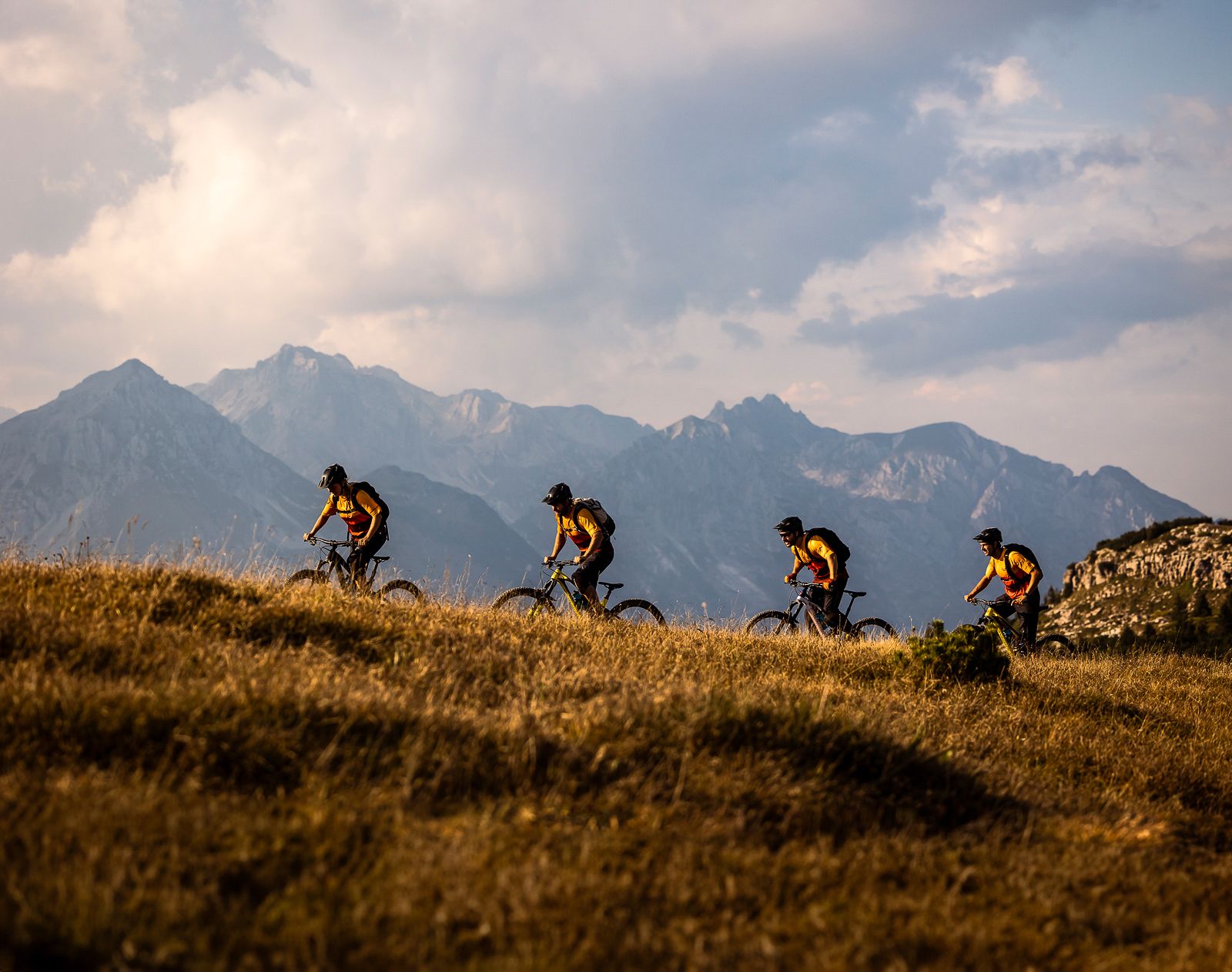
Trails and vineyards in the Dolomiti Paganella Bike Area
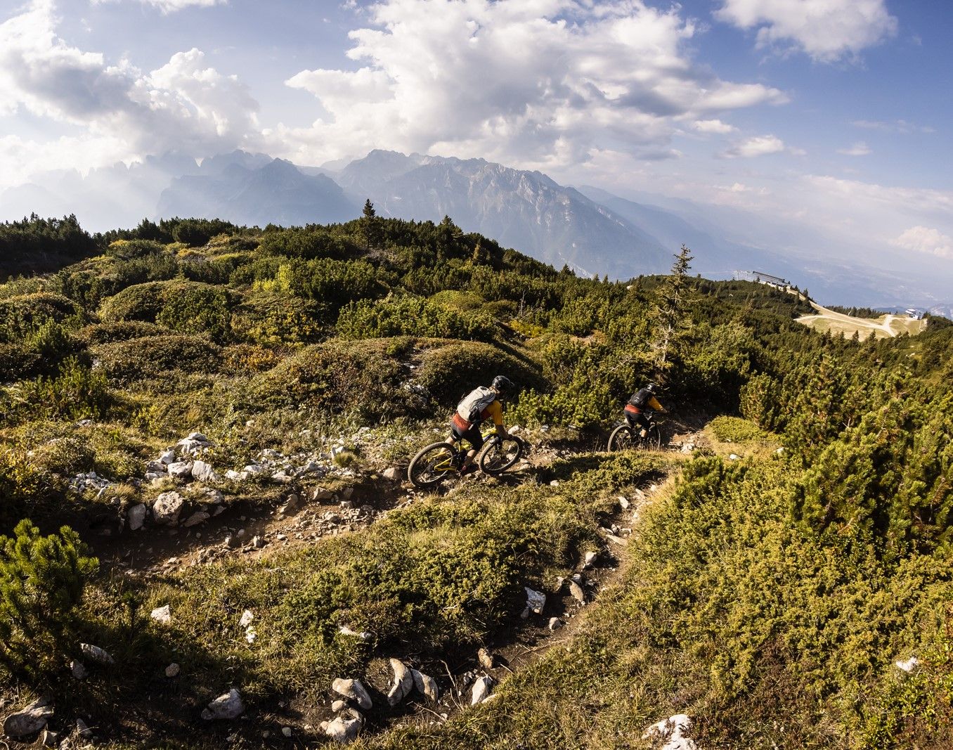
Shred & flow – enduro trails & Tours in Italy’s Dolomiti Paganella
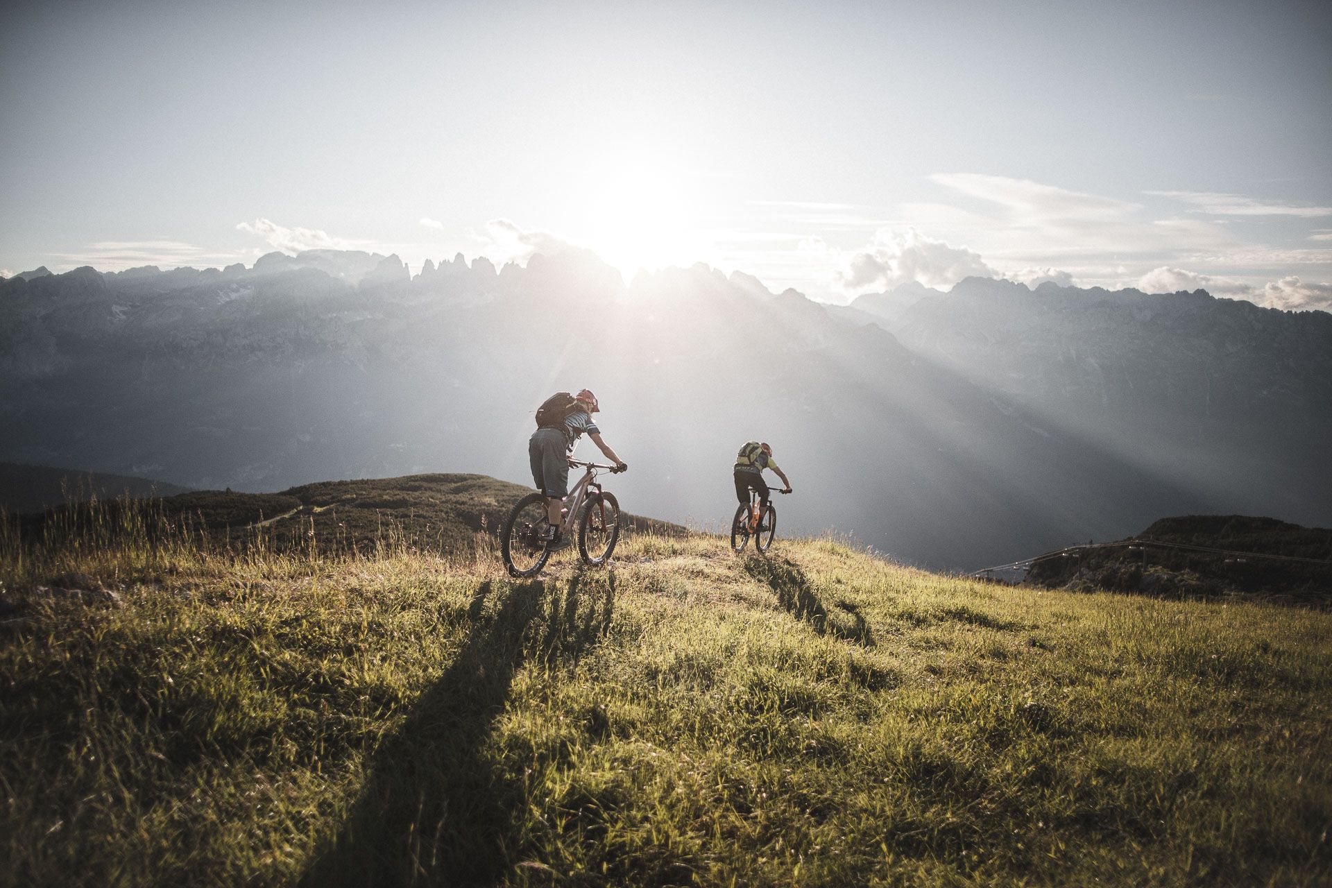
Mountain biking around Paganella in the Dolomites – a biker’s paradise
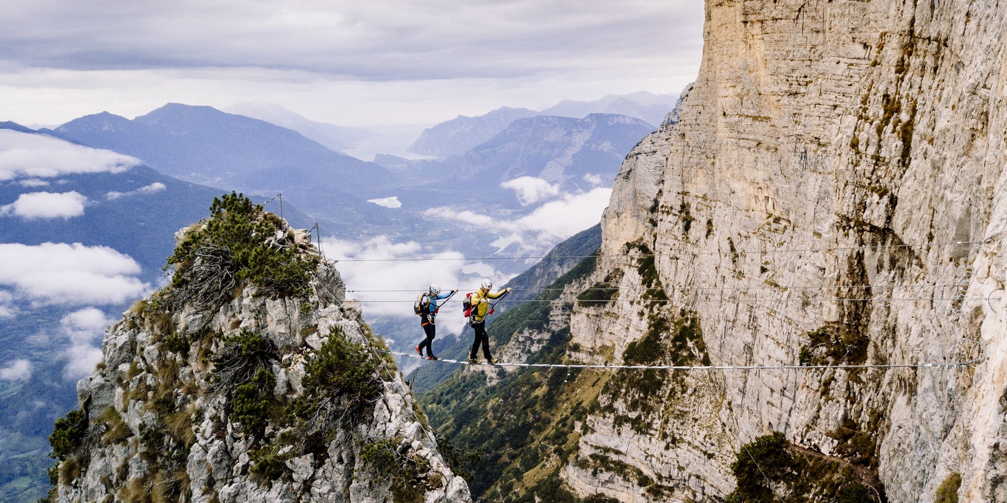
Climbing in the Kingdom of Rocks – hike the Brenta Dolomites
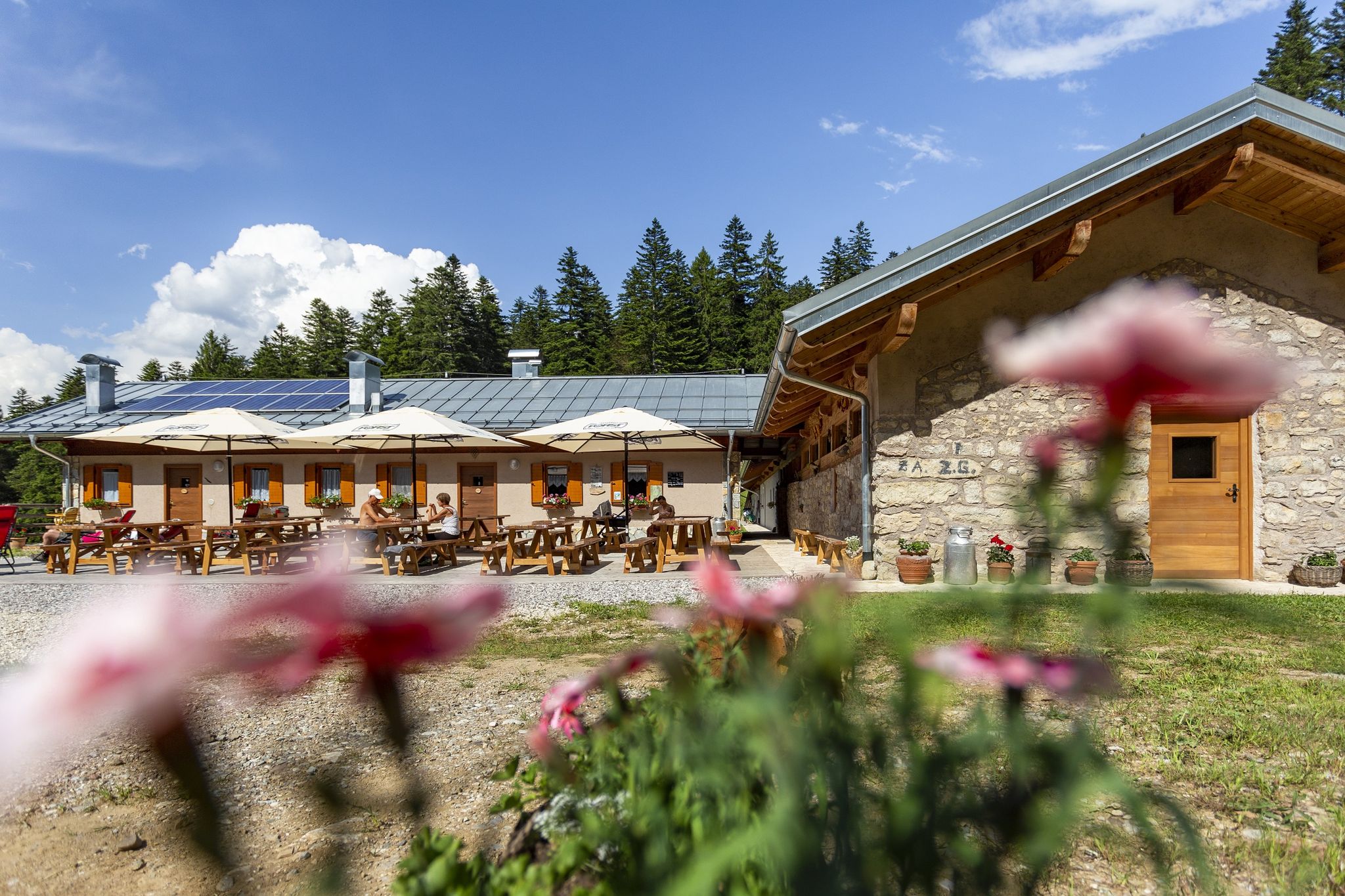
The highest pleasure – hiking & eating in Italy’s Dolomiti Paganella
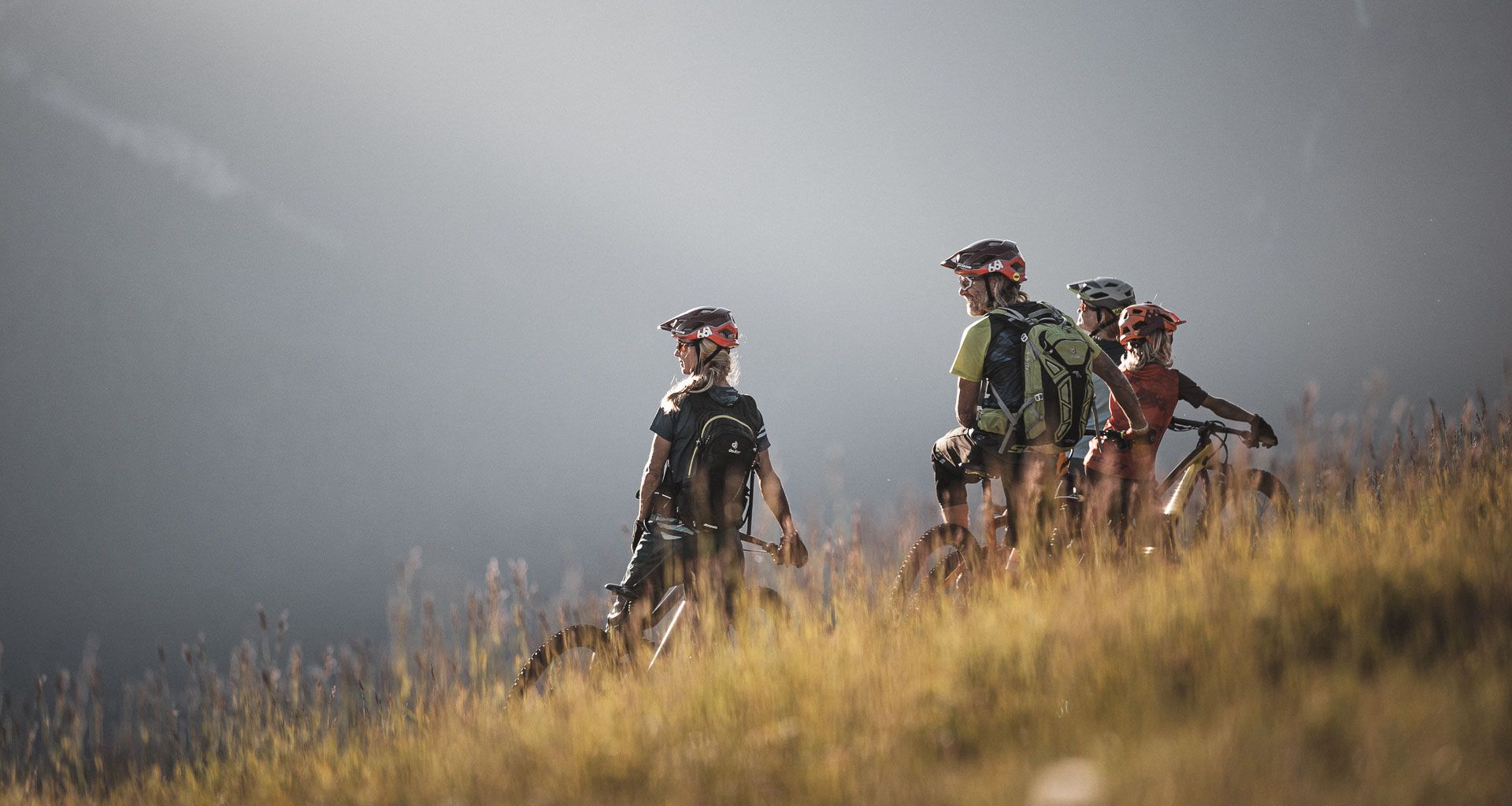
MTB fun for all ages in the Dolomiti Paganella in Italy
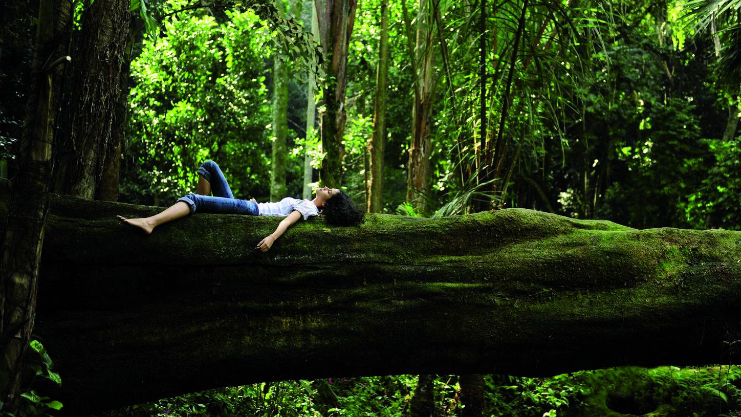
Forest bathing in Trentino – 4 Tours in the Forest Bathing Park in Paganella
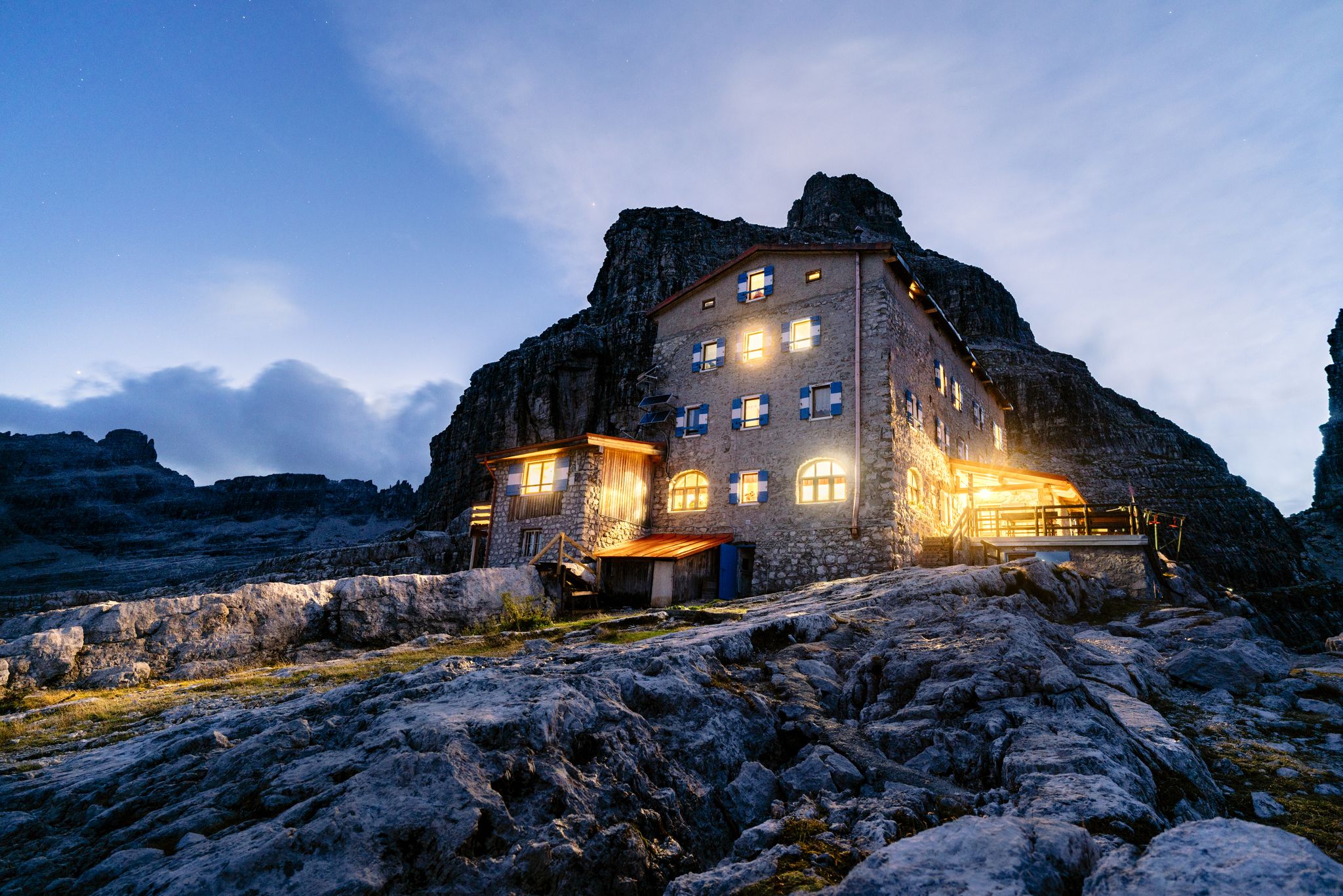
Top 10 mountain Tours in Dolomiti Paganella
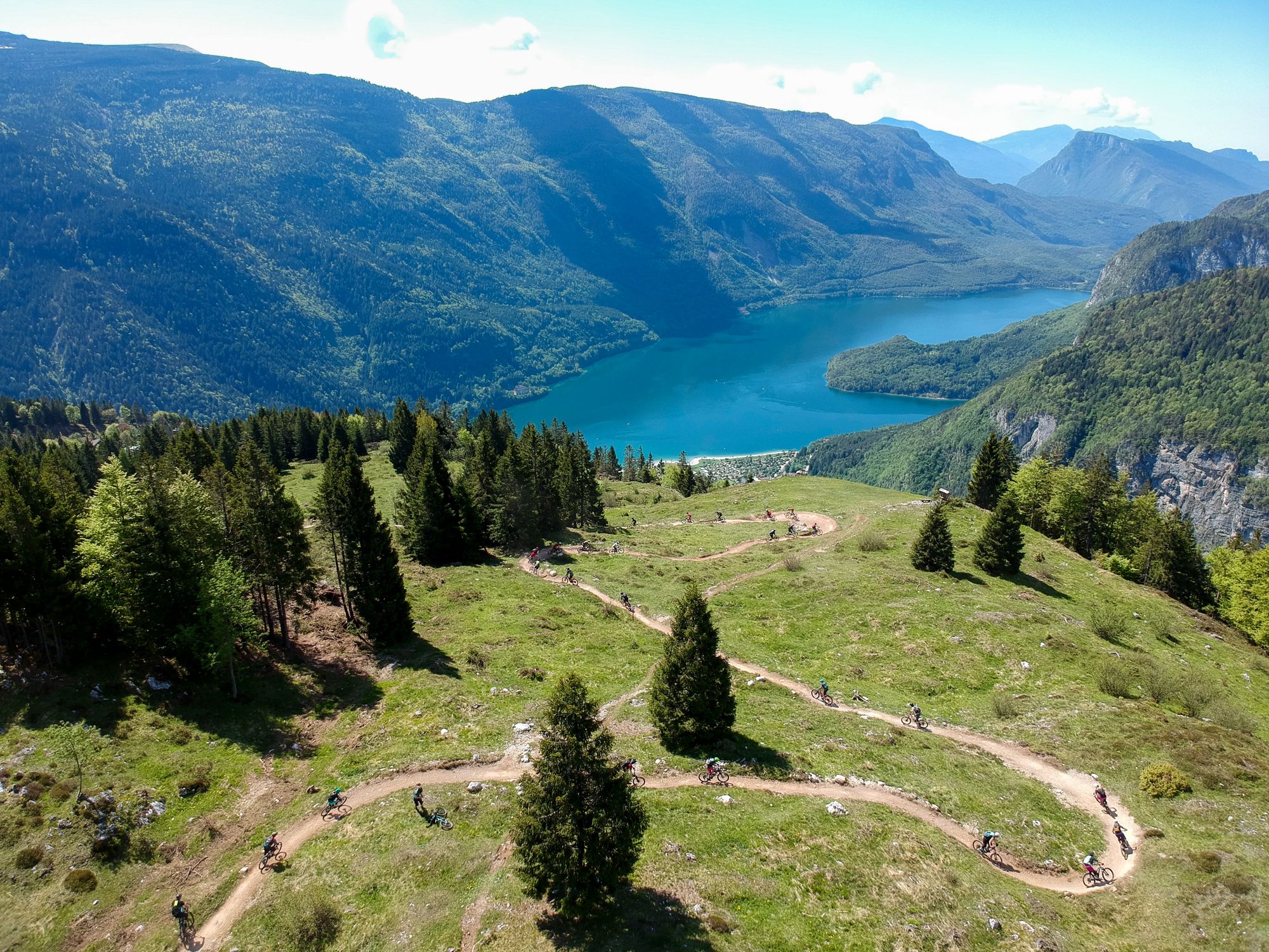
The flow trails of Dolomiti Paganella Bike
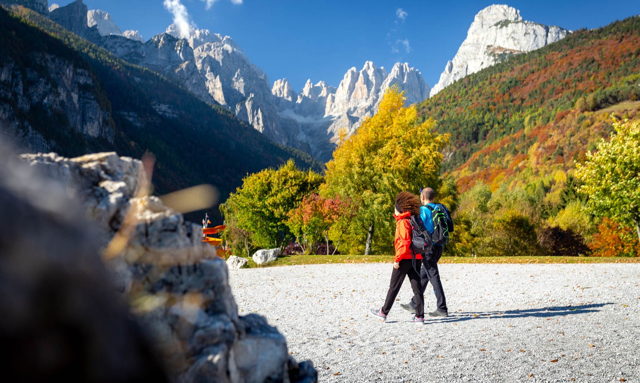
Hiking in the mountains in autumn – Dolomiti Paganella
Other adventures around Fai Della Paganella

Tips from the Community

Le Dolomiti di Brenta sono uno spettacolare gruppo montuoso l'unico a ovest del fiume Adige, famoso per le pareti di roccia verticale e i pinnacoli affusolati
0
0

off-road and more beautiful but challenging
0
0

CORRECT NAME: CAMPONZIN PASS ROAD A paved road that branches off from the 7 Hairpin Bends (above Sardinia) to the road that climbs to Sopramonte, avoiding unnecessary elevation gain for those who then want to descend towards Cadine/Terlago! Also convenient by car or on foot!
0
1

Wonderful view of the mountains! 🤙🏽
0
0

Attention, on the way down to the Rifugio croz del Altissimo, part of the path has broken away at the gully. Status 20.09.2024
0
0

Here you can experience a magnificent mountain panorama!
0
0

After the climb from Trento and the 7 hairpin bends, you really look forward to this saddle. Luckily there is little traffic.
0
0
Frequently Asked Questions
What are some of the most scenic viewpoints in the Fai della Paganella area?
The region offers several stunning viewpoints. Cima Paganella, at 2,125 meters, provides a 360° vista of Trentino, including the Brenta Dolomites, Lake Garda, and the Adige Valley. Another excellent spot is the Croce di Fai on Monte Fausior, offering panoramas of the Adige Valley and surrounding mountains. For a specific mountain pass experience, Passo di San Giacomo offers beautiful views over the wide meadows of the Paganella plateau with the Brenta Dolomites in the west.
What makes the mountain passes around Fai della Paganella unique?
While Fai della Paganella may not feature traditional high-altitude passes connecting distinct valleys, its appeal lies in its strategic access points and panoramic peaks. These areas serve as gateways to an extensive network of hiking and biking trails, offering diverse mountain experiences from high-altitude vistas to forest walks. They are more about the journey and the views they unlock rather than just a crossing point.
Are there family-friendly walks or easy mountain passes in Fai della Paganella?
Yes, the area offers options suitable for families. The route to Croce di Fai on Monte Fausior is considered an easy hike, primarily following forest roads and paths, offering peaceful walks with scenic views. Many trails starting from Santèl are also suitable for various levels, leading into the mountains and surrounding areas.
Where can I find parking when visiting the mountain passes?
Passo Santel is a significant hub with a large car park, making it an ideal starting point for many hikes and activities. From here, you can access ski lifts that connect to the Paganella ski area or begin various hiking routes, including those leading towards Paganella Peak.
What is the best time of year to visit the mountain passes around Fai della Paganella?
The Fai della Paganella area is generally best visited from late spring to early autumn (May to October) for hiking and biking, when trails are clear of snow and the weather is pleasant. Summer offers lush landscapes and full accessibility to all trails and lifts. For winter sports, the area transforms into a ski destination.
Are there places to eat or stay near the mountain passes?
Yes, Passo Santel is equipped with accommodation and restaurants, making it a convenient base. Additionally, Cima Paganella hosts Rifugio La Roda, offering a resting point with spectacular views directly on the peak. The broader Fai della Paganella locality also provides numerous options for dining and lodging.
What kind of outdoor activities can I do near the mountain passes in Fai della Paganella?
The Fai della Paganella region is a paradise for outdoor enthusiasts. You can enjoy extensive hiking and trekking on trails ranging from easy walks to demanding mountaineering routes. Mountain biking is also very popular, with over 400 km of routes for all skill levels. For more ideas, explore the cycling, gravel biking, and MTB trails guides for the area.
Are there mountain biking trails accessible from the mountain passes?
Absolutely. The Dolomiti Paganella Bike area, which includes Fai della Paganella, offers a vast network of mountain biking routes. Some enduro trails even start directly from Cima Paganella, featuring technical passages and fast stretches. Areas around Passo Santel also provide forest roads and trails suitable for mountain biking. Check out the MTB Trails around Fai Della Paganella guide for detailed routes.
What do visitors particularly enjoy about Passo di San Giacomo?
Visitors appreciate Passo di San Giacomo for its beautiful views over the wide meadows of the Paganella plateau, with the dramatic Brenta Dolomites visible in the west. The sparse vegetation allows for great views of the Laghi Valley and even Lake Garda. It's a wonderful area for longer trails without major altitude differences at an elevation between 1800 and 2100m.
Are there loop trails available for hiking around the mountain passes?
Yes, the region offers various loop trails. For instance, the 'Eagles' Path and Botanical Path' is a circular and panoramic route on the summit of Paganella, showcasing rich indigenous flora. Many routes starting from key points like Passo Santel can also be combined to form loop hikes, allowing you to explore different facets of the landscape.
How can I access Cima Paganella, a prominent peak in the area?
Cima Paganella is accessible via lifts from Fai della Paganella and Andalo, providing a convenient way to reach the summit. Alternatively, you can hike to the peak via various trails, including a route from Passo Santel that takes approximately 3 hours to ascend.
What are some challenging mountain passes for experienced hikers?
For experienced mountain hikers, Passo de Lasteri offers a challenging experience. Located between Cima de Lasteri, Cima Sophia, and Croz dell'Altissimo, it provides a first taste of the summit panorama. The narrow and natural hiking trails leading through the Brenta Group are a paradise for those seeking more demanding routes. Additionally, the Ascent to Monte Bondone from Via delle Mandolare in Trento is a long and challenging climb with a high average gradient.
Are there dog-friendly trails around Fai della Paganella's mountain passes?
Many trails in the Fai della Paganella area are generally dog-friendly, especially forest roads and paths at lower to intermediate altitudes. However, it's always advisable to keep dogs on a leash, especially in protected areas or near livestock. For specific regulations or recommendations, local tourist information centers can provide the most up-to-date guidance.
Most popular routes around Fai Della Paganella
Most popular attractions around Fai Della Paganella

Get inspired with the komoot mobile app


Explore more
See even more epic mountain passes by checking out these guides around Fai Della Paganella:
