The best walks and hikes around Pergine Valsugana
4.3
(1050)
5,094
hikers
185
hikes
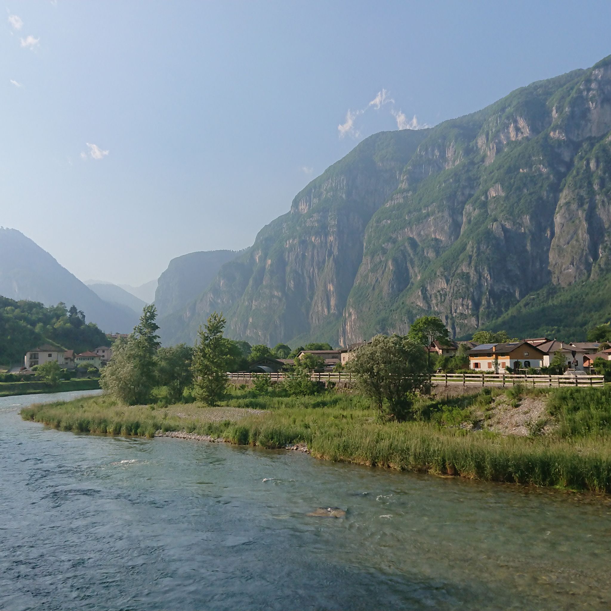
Hiking around Pergine Valsugana offers diverse landscapes, characterized by forested mountains, hills, and several alpine lakes. The region is situated in the Trentino area, providing access to the Lagorai mountain range and the Marzola Ridge. Key natural features include Lake Caldonazzo and Lake Levico, alongside smaller lakes and biotopes. This varied terrain supports a wide array of hiking experiences.
Best hiking trails around Pergine Valsugana
- The most popular hiking route is Valsugana Cycle Path: Lake Caldonazzo, a 7.7 miles (12.4 km) trail that takes 3 hours 13 minutes to complete. This route offers views of Lake Caldonazzo and the surrounding mountains.
- Another top favourite among local hikers is Forest trail to Sella della Marzola (via Trail 433), a difficult 6.6 miles (10.6 km) path. It features significant elevation gain through forests, leading to alpine views.
- Local hikers also love the Doss dei Corvi World War I Trail from Susà, a 6.7 miles (10.8 km) trail leading through historical World War I sites, often completed in about 4 hours 27 minutes.
- Hiking around Pergine Valsugana is defined by alpine lakes, forested mountains, and panoramic ridges. The network offers options for various ability levels, from easy lakeside strolls to demanding mountain ascents.
- The routes in Pergine Valsugana are highly rated by the komoot community with an average score of 4.3 stars from over 700 reviews. More than 4000 hikers have used komoot to explore Pergine Valsugana's varied terrain.
Last updated: October 10, 2026
4.0
(34)
207
hikers
12.4km
03:13
80m
80m
Hike 7.7 miles (12.4 km) around Lake Caldonazzo, gaining 252 feet (77 metres) over 3 hours and 13 minutes, with lake and mountain views.
5.0
(1)
46
hikers
10.6km
05:52
1,080m
1,080m
Forest trail to Sella della Marzola's 360° viewpoint overlooking Brenta peaks and twin lakes.

11
hikers
10.8km
04:28
910m
910m
Hike the difficult 6.7-mile Dos dei Corvi WWI Trail from Susà, gaining 2992 feet to historic WWI sites and panoramic views.
3
hikers
15.4km
06:13
1,240m
1,240m
This difficult 9.6-mile hike from Zivignago to Panarotta 2002 (via Trail 313) climbs 4083 feet through forests to alpine views.
4.4
(153)
549
hikers
Moderate hike. Good fitness required. Easily-accessible paths. Suitable for all skill levels.
Get access to more routes and recommendations from other explorers.
Already have an account?
Our route recommendations are based on thousands of hikes, rides, and runs completed by other people on komoot.
Start today with a free account
Your next adventure awaits.
Popular around Pergine Valsugana

Road to BAM! 2026 – Condividi la strada
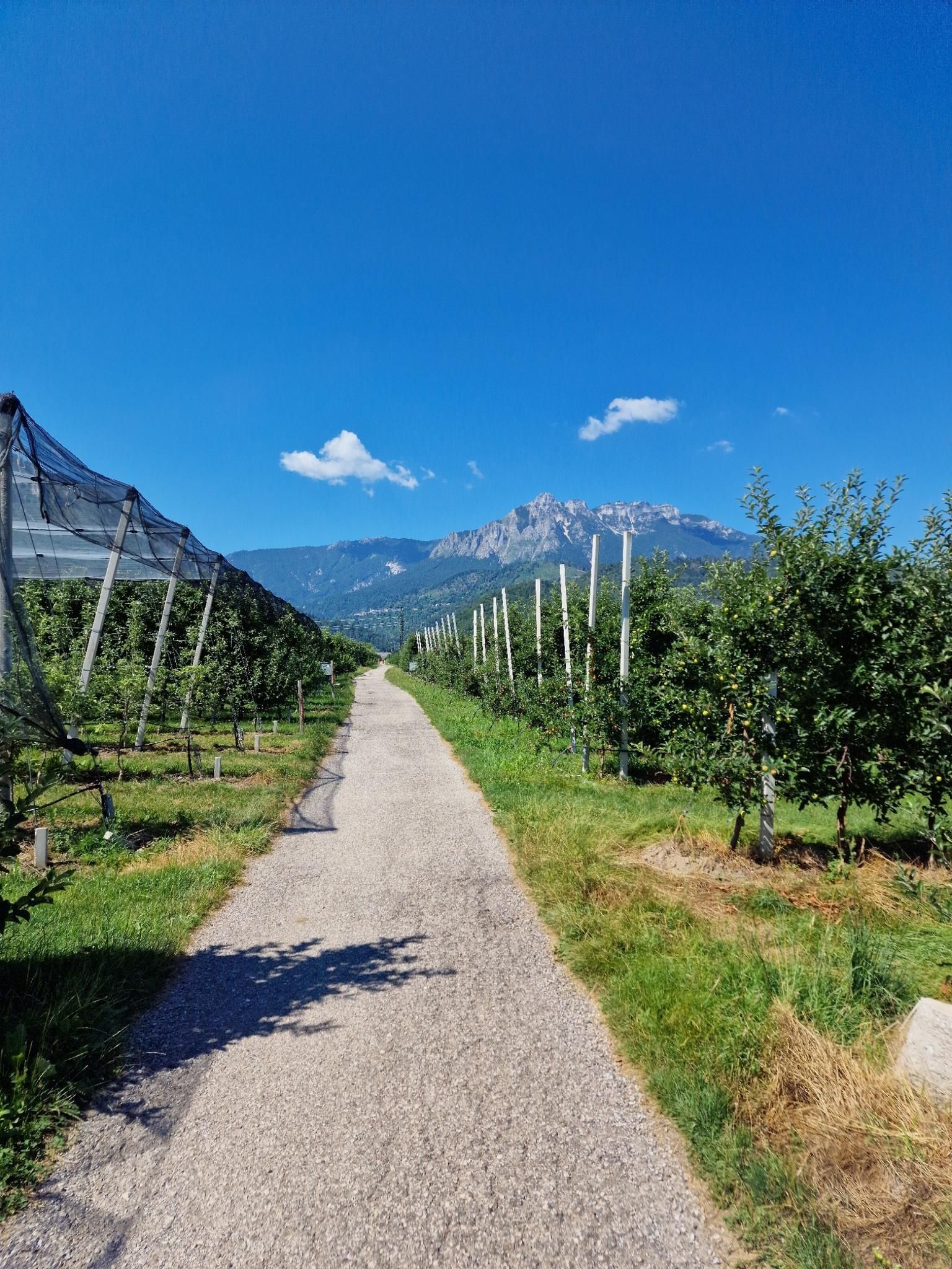
Between rivers and orchards – Valsugana Cycle Path
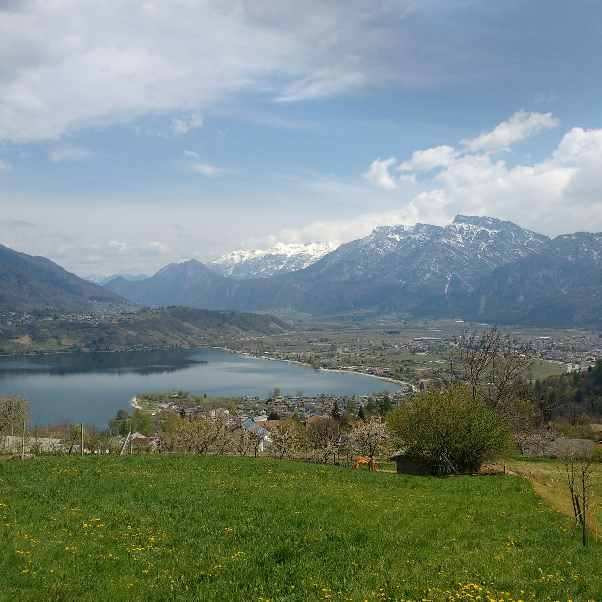
Road Cycling Routes around Pergine Valsugana
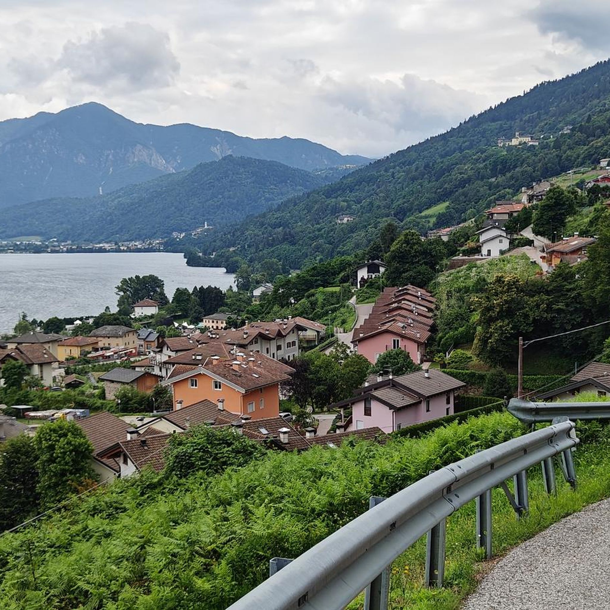
Running Trails around Pergine Valsugana
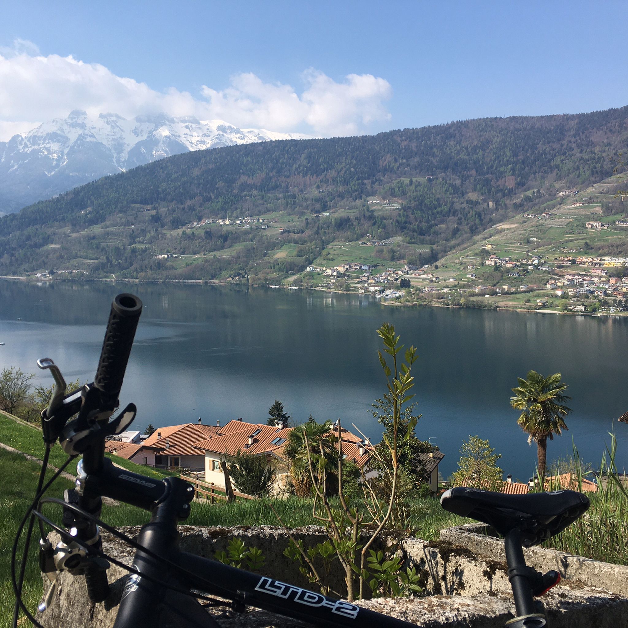
MTB Trails around Pergine Valsugana
Cycling around Pergine Valsugana

Gravel biking around Pergine Valsugana

Mountain Hikes around Pergine Valsugana


Tips from the Community

Parking at the starting point of the chairlift for Panarotta and presence of a good restaurant and local product shop.
0
0

Small and evocative 17th-century church, built on a rocky outcrop.
0
0
A place that always invites you to stop to admire the beauty of the lake and the surrounding environment and that invites you to take a photo
0
0

Unspectacular destination of the climb, beyond the official part of the Compet Pass. Unfortunately, going further up is only possible via a rough gravel path, not recommended for road bikes. There is a ski lift and a really large parking lot here, but no catering facilities whatsoever. For food & drink, you should go back to the intersection at the official destination of the Compet Pass in Vetriolo Terme. The road from Vetriolo Terme to this endpoint is narrow and its condition is poor, especially on the descent. In the upper part of the road, there are many cracks, so you have to be careful here.
0
0
The largest lake in Trentino, offering relaxation and excellent solutions for spending a holiday
0
0
The start of the long crossing of the wonderful Lagorai chain, although I personally recommend starting from Palù del Fersina
1
0

Great area with wine and fruit
0
0
Frequently Asked Questions
How many hiking trails are available around Pergine Valsugana?
Pergine Valsugana offers a wide network of over 160 hiking trails. These routes cater to various skill levels, from easy lakeside strolls to challenging mountain ascents in the Lagorai chain.
Are there easy hiking trails suitable for beginners or families?
Yes, the region has many accessible options. For a pleasant and relatively flat experience, consider the Valsugana Cycle Path: Lake Caldonazzo, which offers beautiful lake and mountain views over 12.4 km. There are 70 easy tours in total.
What are the best hikes for panoramic views in Pergine Valsugana?
For breathtaking vistas, trails leading to the Marzola Ridge are excellent. The Trail to Cima Panarotta from Zivignago is a challenging 15.4 km hike that rewards with expansive alpine views after significant elevation gain through forests.
Are there any circular hiking routes around Pergine Valsugana?
Yes, many trails offer loop options. A great example is the View of Lake Caldonazzo – Scenic view of Lake Caldonazzo loop from San Cristoforo al Lago - Ischia, a moderate 15 km route that provides continuous scenic views of the lake.
Can I find historical sites along the hiking trails?
Absolutely. The region has a rich history, particularly from World War I. The Doss dei Corvi World War I Trail from Susà is a challenging 10.8 km route that leads through significant historical sites from that period.
What natural attractions can I see while hiking in the area?
Pergine Valsugana is surrounded by stunning natural beauty. You can explore several alpine lakes like Lake Levico, Lake Lavarone, and Lake Santa Colomba. The area also features unique geological formations such as the Segonzano Pyramids.
Are there any mountain huts or refuges along the trails for breaks?
Yes, the area around Pergine Valsugana has several mountain huts. Hikers can find places to rest or refuel at locations like Maranza Hut, Sette Selle Refuge, or Casarota Mountain Hut.
What is the typical duration of hikes in Pergine Valsugana?
Hike durations vary significantly. Easy lakeside strolls might take a couple of hours, while more challenging mountain ascents, such as the Forest trail to Sella della Marzola (via Trail 433), can take over 5 hours to complete due to their distance and elevation gain.
What do other hikers enjoy most about hiking in Pergine Valsugana?
The area is highly rated by the komoot community, with an average score of 4.3 stars from over 700 reviews. Hikers frequently praise the diverse landscapes, from serene lake shores to challenging alpine terrain, and the well-maintained trails that offer both natural beauty and historical insights.
Is Pergine Valsugana suitable for challenging mountain hikes?
Definitely. The region serves as a gateway to the majestic Lagorai mountain chain and features demanding routes like the Forest trail to Sella della Marzola (via Trail 433). These trails offer significant elevation gain and lead to true alpine experiences.
Are there any specific landmarks or points of interest near the trails?
Beyond the natural features, the medieval Castello di Pergine, perched above the town, is a prominent landmark often integrated into hiking routes. You might also encounter unique man-made monuments like La Lupa del Lagorai.
Most popular routes around Pergine Valsugana
Most popular attractions around Pergine Valsugana

Get inspired with the komoot mobile app


Explore more
Browse the best Hikes in other regions.
