The best mountain hikes around Taleggio
4.5
(34)
260
hikers
11
hikes
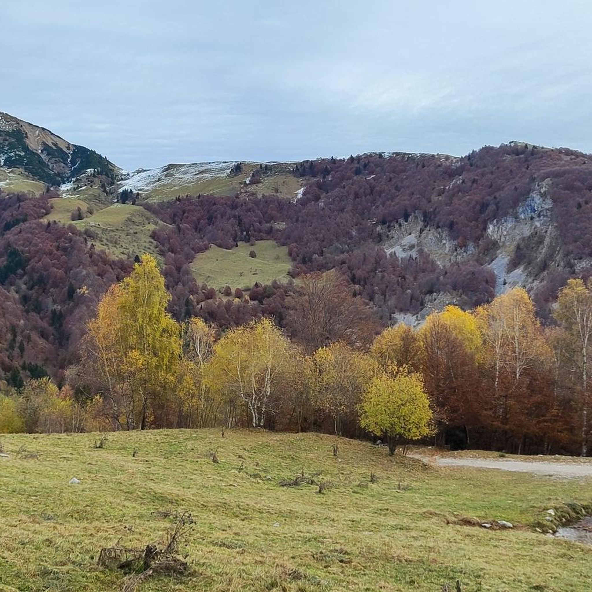
Mountaineering routes around Taleggio are found within the Orobic Pre-Alps in Italy's Bergamo province, offering a diverse landscape for high-altitude exploration. The region features a mix of shaded forests, open alpine pastures, and rugged, rocky peaks, with elevations reaching approximately 1,000 meters in the valley. Dramatic natural features like the Orrido della Val Taleggio gorge, carved by the Enna stream, add to the varied terrain. For more challenging ascents, peaks like Pizzo Tre Signori rise to 2,554 meters, providing extensive…
Last updated: October 8, 2026
4.7
(7)
33
hikers
9.77km
04:21
760m
760m
Hard mountaineering route. Good fitness required. Sure-footedness, sturdy shoes and alpine experience required.
4.5
(2)
29
hikers
5.42km
02:25
290m
290m
Hard mountaineering route. Good fitness required. Sure-footedness, sturdy shoes and alpine experience required.

5.0
(2)
21
hikers
Hard mountaineering route. Very good fitness required. Sure-footedness, sturdy shoes and alpine experience required.
5.0
(5)
20
hikers
6.17km
03:12
420m
420m
Hard mountaineering route. Good fitness required. Sure-footedness, sturdy shoes and alpine experience required.
4.7
(3)
11
hikers
5.04km
04:41
660m
660m
Hard mountaineering route. Good fitness required. Sure-footedness, sturdy shoes and alpine experience required.
Get access to more routes and recommendations from other explorers.
Already have an account?
Our route recommendations are based on thousands of hikes, rides, and runs completed by other people on komoot.
Start today with a free account
Your next adventure awaits.
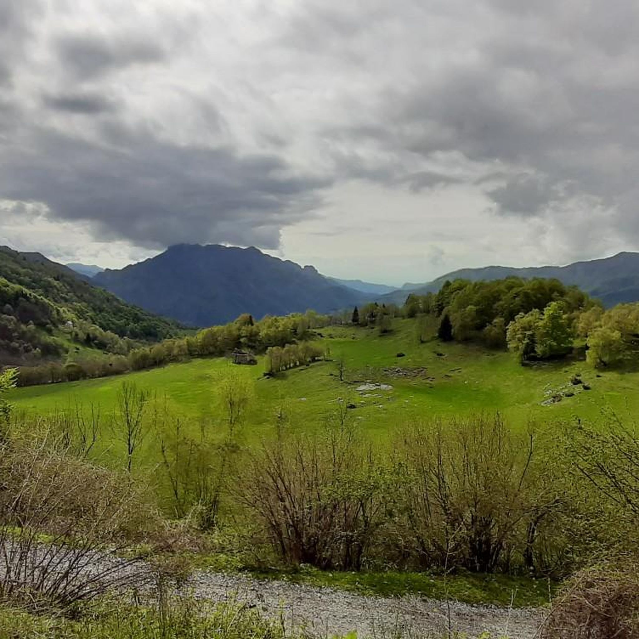
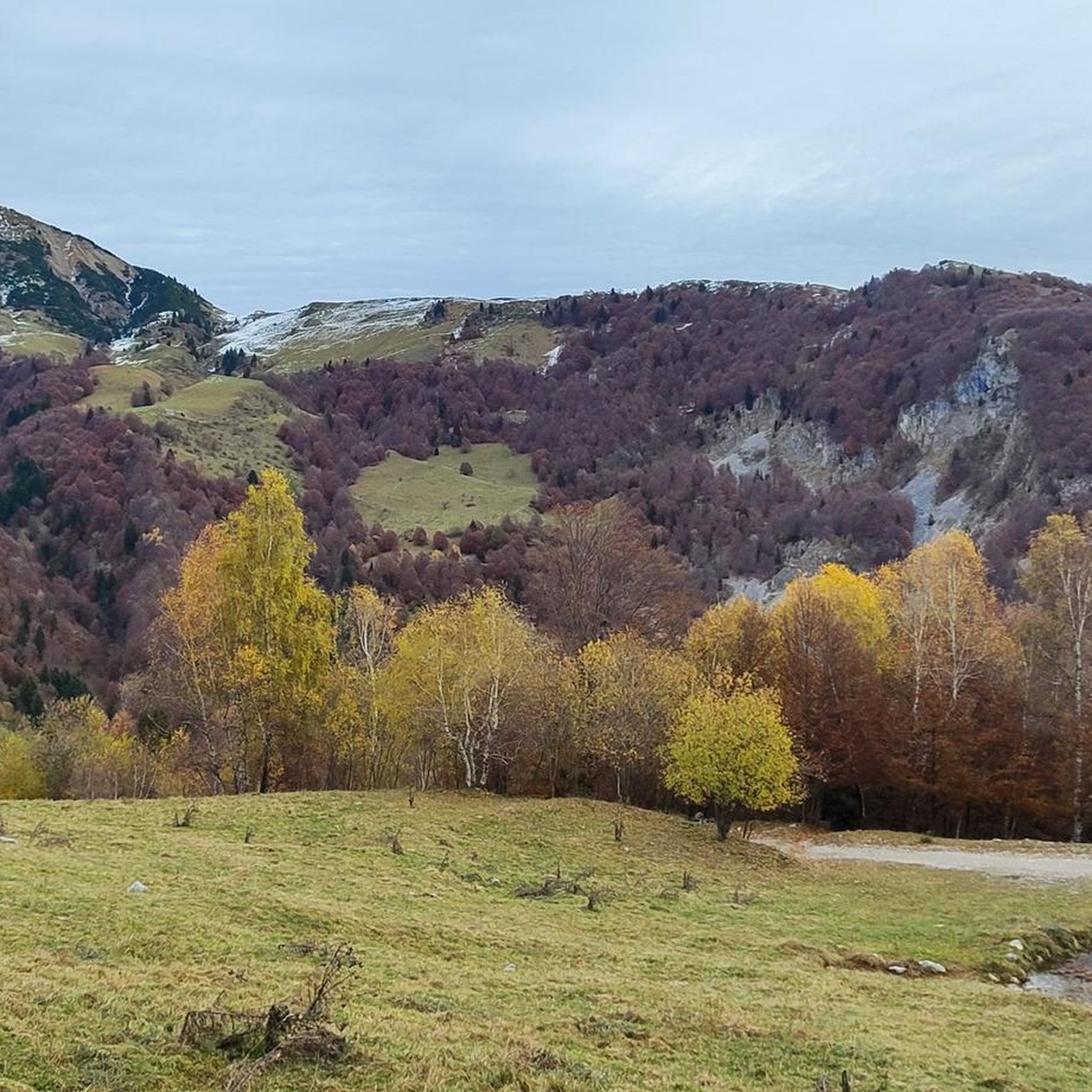
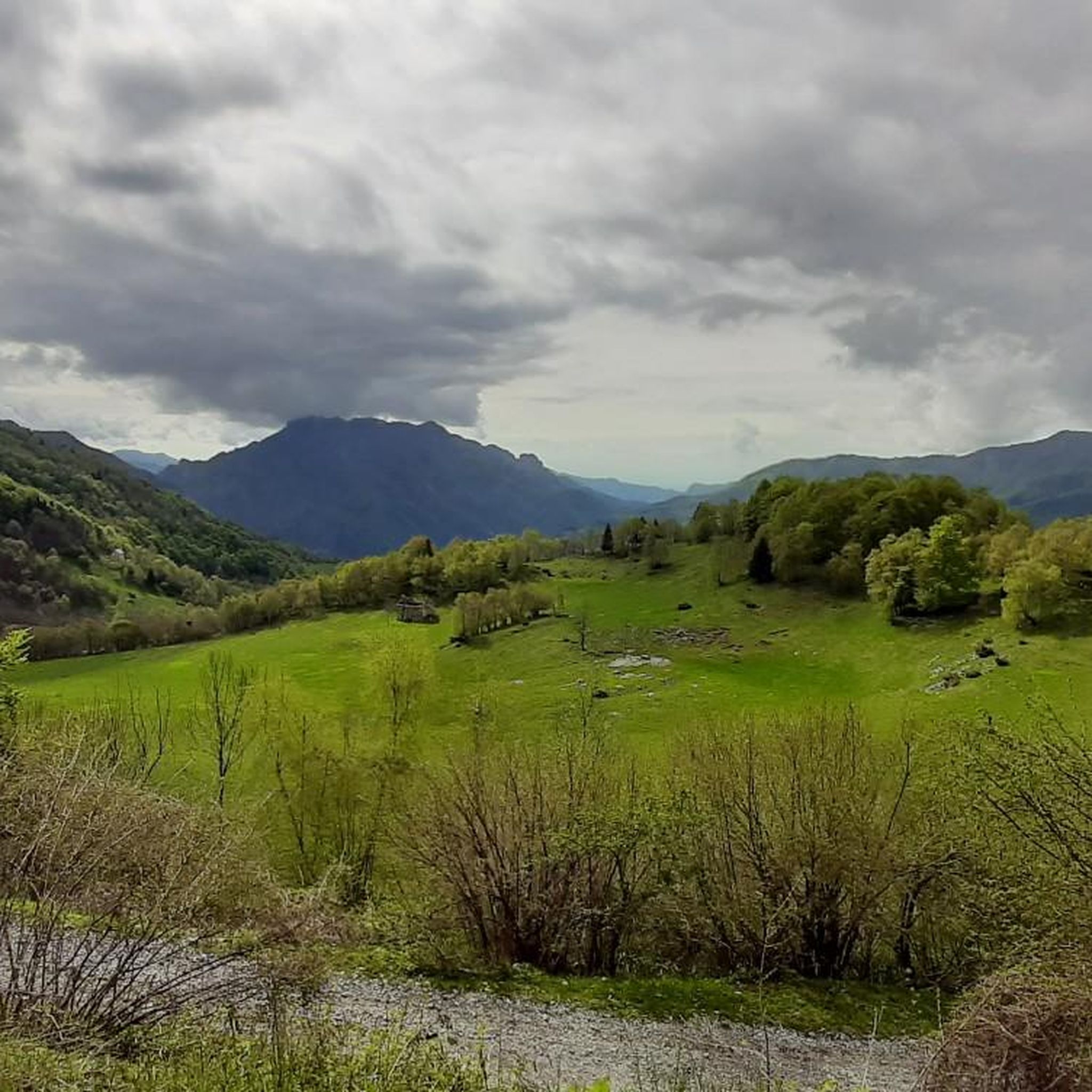
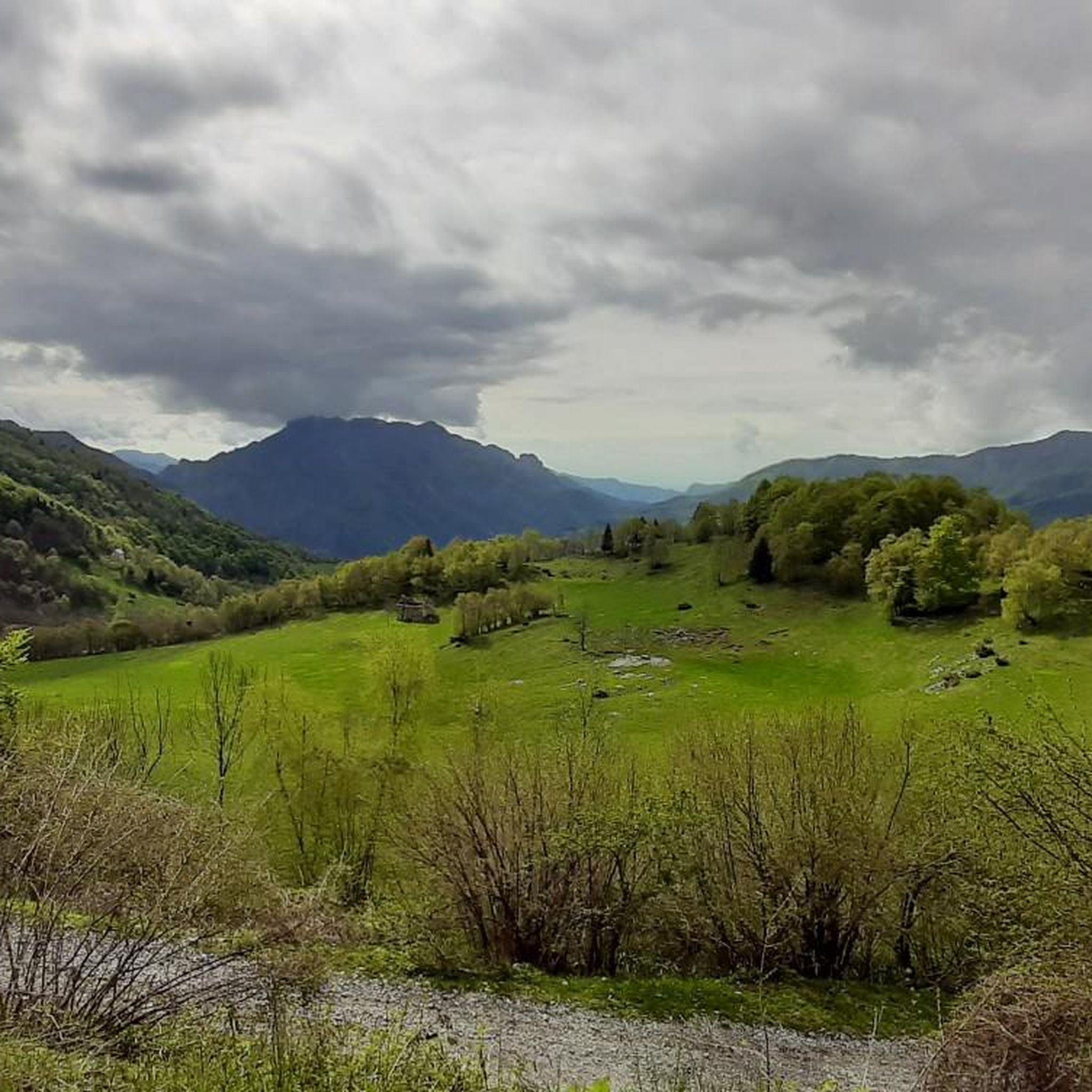

Tips from the Community

A canal to be tackled with great care, but very rewarding.
0
0

Starting point of the loop tour, whose highest point is the Bocchetta dei Mughi. The trail is technically simple in the summer period but has no water sources and is almost entirely in the sun
0
0

Rifugio Lecco, magnificent views from Piani di Bobbio
0
0

one of the most beautiful views of the lake and Lecco!
0
0
Beautiful lake that we found frozen
0
0

Spectacular view towards the tip of Lake Lecco, Grigna and Resegone
0
0

A crossroads for many Resegone routes. Very famous for being the reference point for the centenary via ferrata.
0
0

Watch out for ticks... last year's experience
0
0
Frequently Asked Questions
What kind of mountaineering routes can I expect in Val Taleggio?
Val Taleggio offers a diverse range of mountaineering routes, primarily within the Orobic Pre-Alps. You'll find paths traversing shaded forests, open alpine pastures, and rugged, rocky peaks. The region is known for its high rocky peaks, dramatic gorges like the Orrido della Val Taleggio, and equipped sections on some trails, catering to various ability levels.
Are there any easier mountaineering routes suitable for beginners in Val Taleggio?
While many routes in Val Taleggio are rated as difficult, there are some moderate options available. For example, the area around Gherardi Hut is known for more accessible paths, including the CAI trail 120, which is relatively easy and suitable for families. These trails often lead through meadows and traditional villages, offering a less strenuous experience.
What are some notable natural features or landmarks to look out for on mountaineering routes?
Val Taleggio is rich in natural beauty. A significant feature is the Orrido della Val Taleggio, a spectacular 3 km long gorge carved by the Enna stream. You can also visit the Waterfall at the Source of the Enna, where the river originates from a small karst cave. The region is also dotted with picturesque alpine meadows and offers panoramic views from peaks like Pizzo Baciamorti.
Are there any circular mountaineering routes in the area?
Yes, Val Taleggio features several circular routes. A challenging option is the Zuccone Campelli Summit – Canale della Madonna loop from Scuola di Sci Barzio Piani di Bobbio - Valtorta, which is 7.0 km long. Another popular loop is the Start of Anello dei Campelli – Lecco Hut loop from Valtorta, covering 9.7 km through alpine terrain.
Can I find routes that pass by mountain huts for refreshments or overnight stays?
Absolutely. The region has several mountain huts that can be incorporated into your mountaineering plans. The Gherardi Hut is a well-known volunteer-run refuge offering food and views. Other huts in the vicinity include the Luigi Azzoni Hut (Monte Resegone), Nicola Hut, and Riva Hut.
What is the best time of year for mountaineering in Val Taleggio?
The best time for mountaineering in Val Taleggio generally depends on the specific route and your experience. Spring offers spectacular views of melting snow creating waterfalls in the gorges, while summer provides lush green meadows. For higher, more challenging ascents, summer and early autumn typically offer the most favorable conditions. Winter transforms the landscape into an icy corridor, suitable for experienced mountaineers with appropriate gear.
Are there any routes that feature waterfalls?
Yes, Val Taleggio is home to several beautiful waterfalls. You can explore the Pools and Waterfalls of the San Carlo Stream, the Waterfalls and Rio Bojone Trail, and the Sprizzotolo Waterfall. The Waterfall at the Source of the Enna is also a notable natural attraction.
What do other mountaineers enjoy most about the routes in Taleggio?
The mountaineering routes in Taleggio are highly rated by the komoot community, with an average score of 4.6 stars from over 40 reviews. Mountaineers often praise the varied terrain, from high rocky peaks and alpine pastures to dramatic gorges, and the sense of wild, authentic mountain scenery. The network offers options for different ability levels, including challenging ascents and routes with equipped sections.
Are there any routes that include via ferrata sections?
Yes, some routes in Val Taleggio feature equipped sections, including via ferrata. An example is the Start of Ferrata San Nicolò loop from San Pellegrino Terme, a 5.4 km trail that leads through rocky sections and is often completed in about 2 hours 25 minutes.
What kind of views can I expect on the mountaineering routes?
Val Taleggio, often called 'the little Switzerland of Bergamo,' offers spectacular views. From higher elevations, such as the Artavaggio Plateau or peaks like Pizzo Tre Signori (2,554 meters), you can enjoy extensive panoramic views across the surrounding mountains and the wider Alps. The routes also provide scenic vistas of alpine meadows, traditional villages, and dramatic limestone gorges.
Are there any routes that lead to prominent summits?
Yes, several routes in the area lead to prominent summits offering expansive views. For instance, the Zuccone Campelli Summit – Canale della Madonna loop from Scuola di Sci Barzio Piani di Bobbio - Valtorta provides a challenging ascent to a significant peak. Pizzo Baciamorti is another summit known for its spectacular 360-degree views of the surrounding mountains.
Most popular routes around Taleggio
Most popular attractions around Taleggio

Get inspired with the komoot mobile app


Explore more
Browse the best Mountain Hikes & Routes in other regions.
