The 20 Most Amazing Peaks around Isera
Mountain peaks around Isera are located within the Trentino region of Italy, a municipality situated in a mountainous landscape. While Isera itself is not directly known for specific peaks, the surrounding area offers various elevated viewpoints and mountain huts. This region provides diverse terrain for outdoor activities, including cycling and hiking. The natural landscape features valleys, lakes, and historical sites.
Best mountain peaks around Isera
- The most popular mountain peak viewpoint is View from Monte Altissimo di Nago overlooking Lake…
Last updated: October 9, 2026
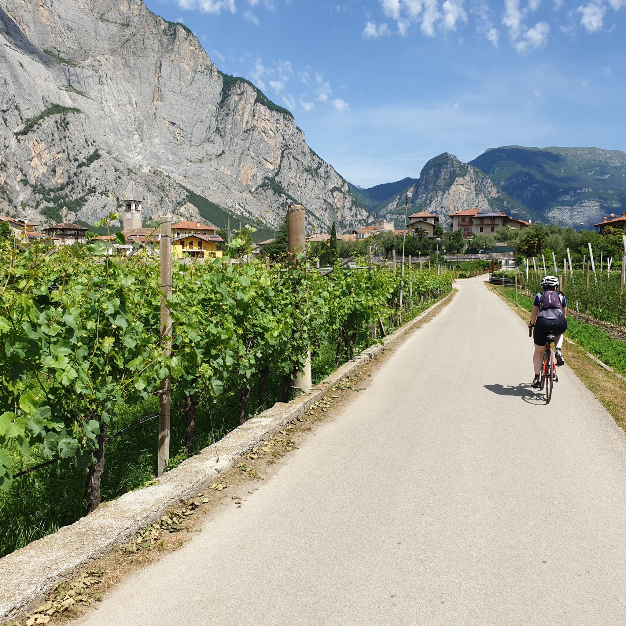
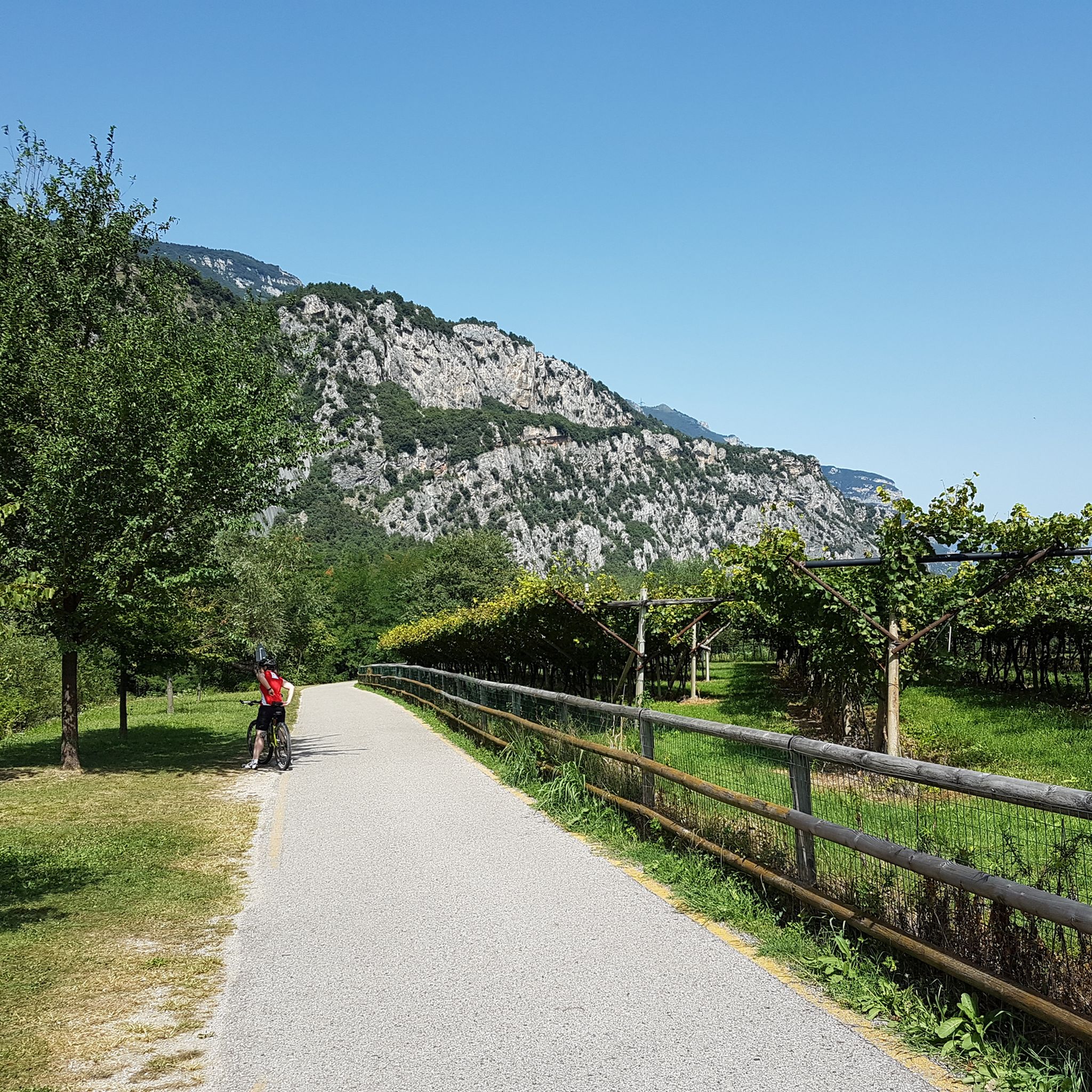
Adige Cycle Path (Etsch Valley Cycle Path)
Highlight • Cycleway
Translated by Google •
Tip by

Forte Batteria di Mezzo
Highlight • Historical Site
Translated by Google •
Tip by

Sign up now to discover places like this
Get recommendations on the best single tracks, peaks, & plenty of other exciting outdoor places.
View of Lake Garda, Riva and Torbole from Monte Brione
Highlight • Viewpoint
Translated by Google •
Tip by

View of Lake Garda from Doss Casina
Highlight • Viewpoint
An endless number of bike tours and hiking tours are signposted here and …
Translated by Google •
Tip by

View from Monte Altissimo di Nago overlooking Lake Garda
Highlight • Viewpoint
Translated by Google •
Tip by

Sign up for free to discover even more peaks around Isera.
Already have an account?
Start today with a free account
Your next adventure awaits.

Tips from the Community

The view is breathtaking. The lake is majestic and the view is clear on the peaks of the Dolomites
0
0

The central battery is located on the Peace Trail on Monte Brione, near the antennas. It was built between 1898 and 1900.
1
0

A brilliant hotspot. A stunning panorama. A classic.
1
0
There's a water fountain with a sign saying "Aqua doro 50 m" (50 meters). At about 1000 meters, I hiked up by bike. Then I saw the sign next to the fountain: "No drinking water." How stupid. Since it was hot and I didn't see any other water fountains, I took a liter anyway. Four days later, I'm still feeling fine. This isn't a recommendation, though. Just a warning. Please bring an extra liter of water. I didn't see another water fountain until I reached the summit. Unfortunately, the last fountain is in Nago town center.
0
0

Mountain fortress from 1900 with connecting tunnels and numerous gun emplacements.
2
0

Very beautiful stretch of route along the Etsch. The entire stage, which leads through an impressive landscape, is very varied. Well-developed cycle paths, great places, friendly people, a relaxed tour. It seems that it gets a little better and more beautiful each time. Recommended.
10
0

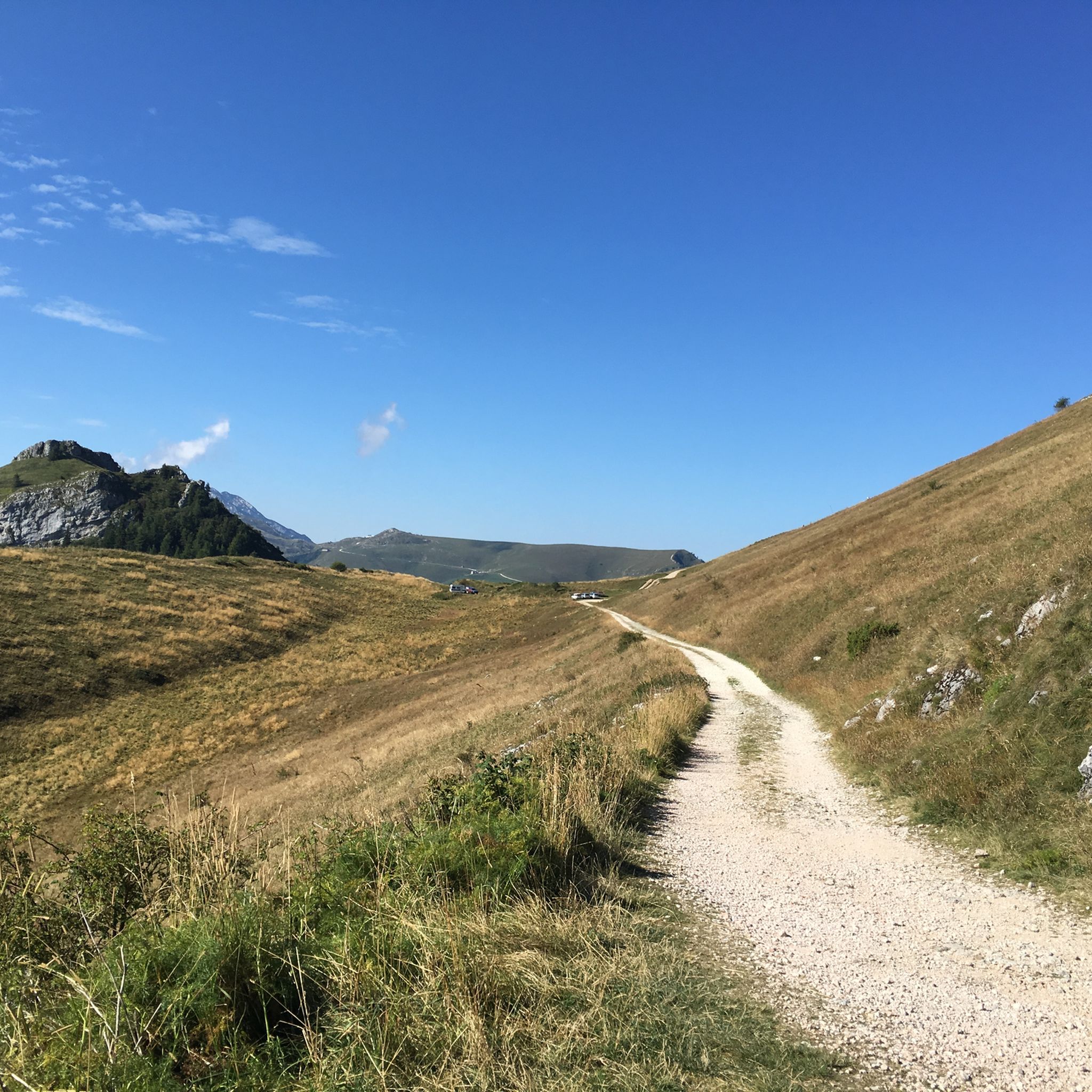
The climb seems to go on forever. You are rewarded with many great views. At the beginning it is all solid ground. On the way down, however, you have to push the bike for a few meters (approx. 300 m). You need very sure footing and good, sturdy shoes.
0
0

Between Aldeno and Besenello there is one of the quietest and greenest spots along the entire Adige cycle path.
6
0
Frequently Asked Questions
What are some notable mountain peaks and viewpoints around Isera?
While Isera itself is a municipality, the surrounding Trentino region offers several prominent mountain experiences. You can find breathtaking views from Monte Altissimo di Nago overlooking Lake Garda, which provides a 360-degree panorama. Another excellent viewpoint is Monte Brione, offering views of Lake Garda, Riva, and Torbole.
Are there mountain huts available for trekkers around Isera?
Yes, the area features well-known mountain huts that serve as excellent stops for trekkers. The Stivo Prospero Marchetti Mountain Hut is located at over 2,000 meters on Mount Stivo, offering food, accommodation, and refreshments with stunning views. Another option is the Damiano Chiesa Mountain Hut on Monte Altissimo di Nago, a welcoming refuge and a crossroads for tours of the Monte Baldo crests.
What kind of views can I expect from the mountain peaks near Isera?
The mountain peaks and viewpoints near Isera, particularly those overlooking Lake Garda, offer spectacular vistas. From spots like Monte Altissimo di Nago, you can enjoy a 360-degree view that, on clear days, extends all the way to Sirmione. You'll see expansive lake scenery, surrounding mountains, and picturesque towns.
What outdoor activities can I do near the mountain peaks around Isera?
The region around Isera is ideal for various outdoor activities. You can explore numerous hiking trails, including those for mountaineering, or enjoy mountain biking. For detailed routes and inspiration, check out the guides for Hiking around Isera, Mountain Hikes around Isera, and MTB Trails around Isera.
Are there family-friendly options for exploring the mountains around Isera?
Yes, there are options suitable for families. The Adige Cycle Path (Etsch Valley Cycle Path) is a great family-friendly choice, offering quiet and green stretches along the river through impressive landscapes. While some mountain trails can be challenging, there are also easier hiking routes available in the broader region.
What historical sites can be found on the mountain peaks near Isera?
The mountains around Isera hold historical significance, particularly from the First World War. For instance, at the summit of Monte Altissimo di Nago, near the Damiano Chiesa Mountain Hut, you can find trenches from the First World War, along with a chapel and a memorial to its victims.
What is the best time to visit the mountain peaks around Isera?
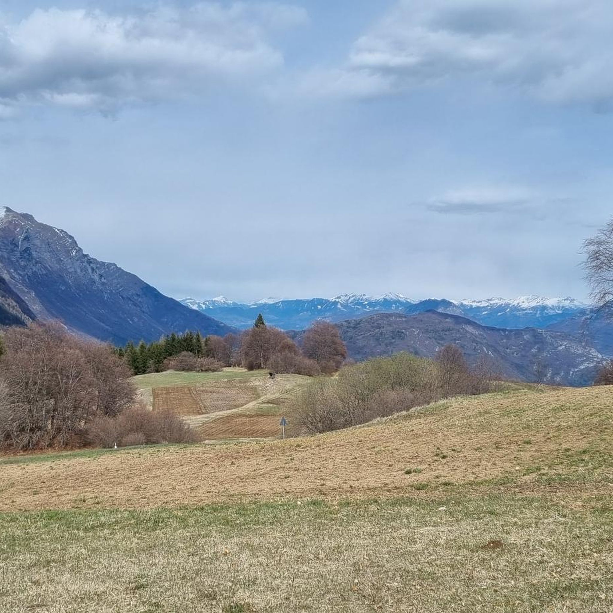
The best time to visit depends on your preferred activity. Spring and autumn offer pleasant temperatures for hiking and cycling, with beautiful scenery. Even in March, visitors have found the views from Monte Altissimo di Nago highly recommended, despite some snow. Summer is also popular, especially for higher altitude treks, but can be warmer.
Are there any easy mountain hikes for beginners near Isera?
Yes, for beginners or those seeking less strenuous options, routes like the 'Biotopo delle Marocche Trail loop from Drena' are rated as easy. You can find more easy and moderate options in the Hiking around Isera guide.
What are some challenging mountain climbs or routes near Isera?
For those seeking a challenge, the region offers several difficult routes. Examples include the 'Via ferrata Rio Sallagoni' and the 'Colodri Via Ferrata – Colodri Karst Landscape loop from Arco'. Many of the trails leading to prominent viewpoints like Monte Brione or Monte Altissimo di Nago are also rated as intermediate to challenging.
What do visitors enjoy most about the mountain peaks around Isera?
Visitors consistently praise the magnificent and breathtaking views, especially over Lake Garda. The welcoming mountain huts, like Damiano Chiesa and Stivo Prospero Marchetti, are also highly appreciated for their hospitality, food, and strategic locations. The diverse terrain and well-maintained trails for both hiking and cycling are also frequently highlighted.
Can I find places to eat or stay near the mountain trails around Isera?
Yes, the mountain huts like Stivo Prospero Marchetti Mountain Hut and Damiano Chiesa Mountain Hut offer food and accommodation directly on the mountains. In the valleys and nearby towns, you'll find various cafes, pubs, and other accommodation options to suit your needs after a day of exploring.
Most popular routes around Isera
Most popular attractions around Isera

Get inspired with the komoot mobile app


Explore more
See even more amazing summits around Isera with these guides:
