The best running trails around Fuipiano Valle Imagna
4.6
(131)
7,592
runners
124
runs
Jogging routes around Fuipiano Valle Imagna offer varied terrain for runners seeking a challenge in the Lombardy region. The area is characterized by its mountainous landscape, featuring significant elevation changes and panoramic viewpoints. Running trails often traverse through dense woodlands and open mountain passes, providing a diverse environment for outdoor activity. This region is suitable for runners looking for routes with substantial climbs and descents.
Best jogging routes around Fuipiano Valle Imagna
- The most popular jogging route is Running loop…
Last updated: October 9, 2026
5.0
(2)
63
runners
Hard run. Very good fitness required. Sure-footedness, sturdy shoes and alpine experience required.
3.0
(2)
43
runners
13.8km
02:33
910m
920m
Hard run. Very good fitness required. Sure-footedness, sturdy shoes and alpine experience required.

4.0
(2)
11
runners
Hard run. Very good fitness required. Sure-footedness, sturdy shoes and alpine experience required.
8
runners
Hard run. Very good fitness required. Sure-footedness, sturdy shoes and alpine experience required.
8
runners
22.6km
04:00
1,250m
1,250m
Hard run. Very good fitness required. Sure-footedness, sturdy shoes and alpine experience required.
Get access to more routes and recommendations from other explorers.
Already have an account?
Our route recommendations are based on thousands of hikes, rides, and runs completed by other people on komoot.
Start today with a free account
Your next adventure awaits.


Tips from the Community

Monti sorgenti, a wonder.
2
0

from the parking lot starts the only trail which is initially unique and then splits in the various directions one chooses. the first km is dirt road and asphalt, then it turns into a classic mountain trail.
0
0

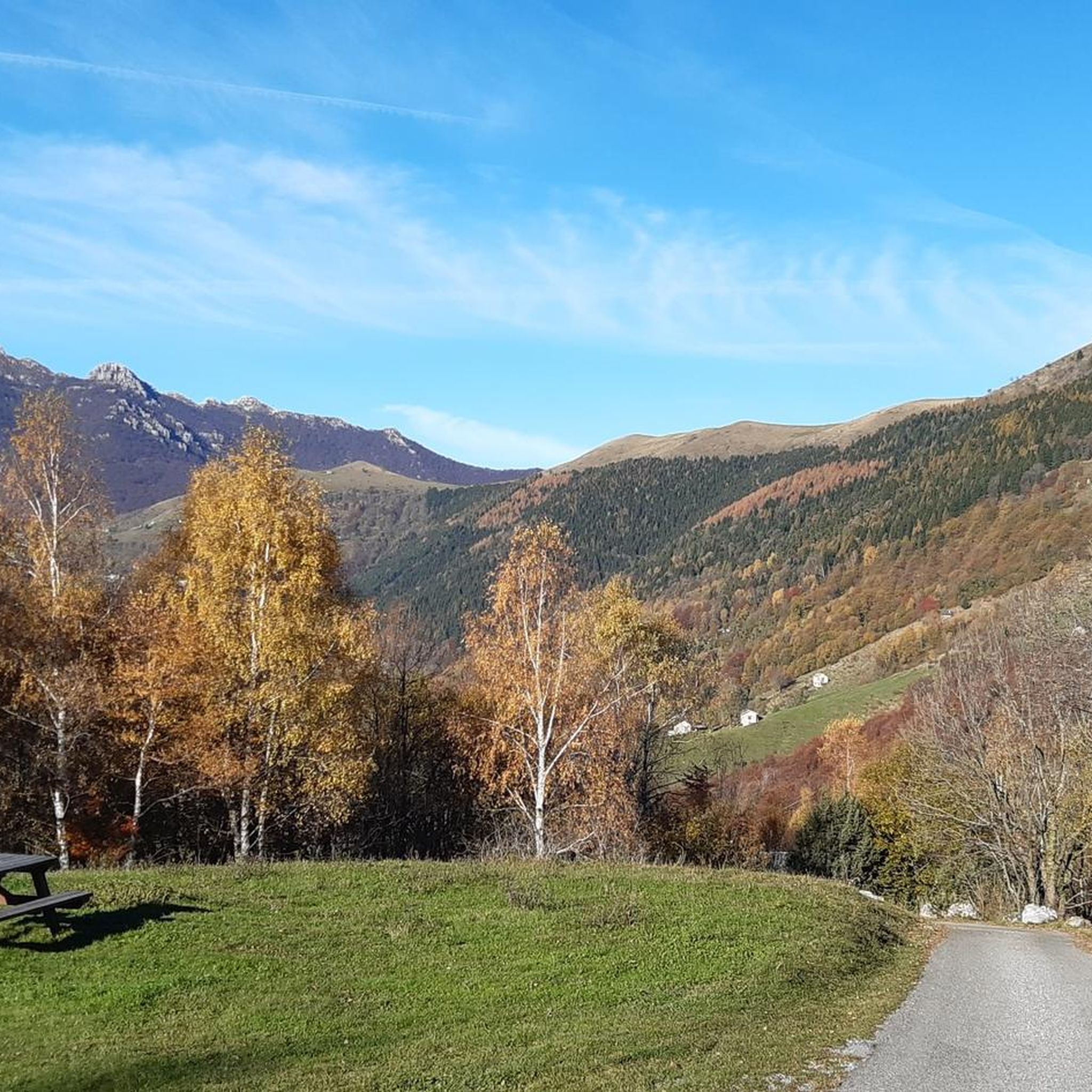
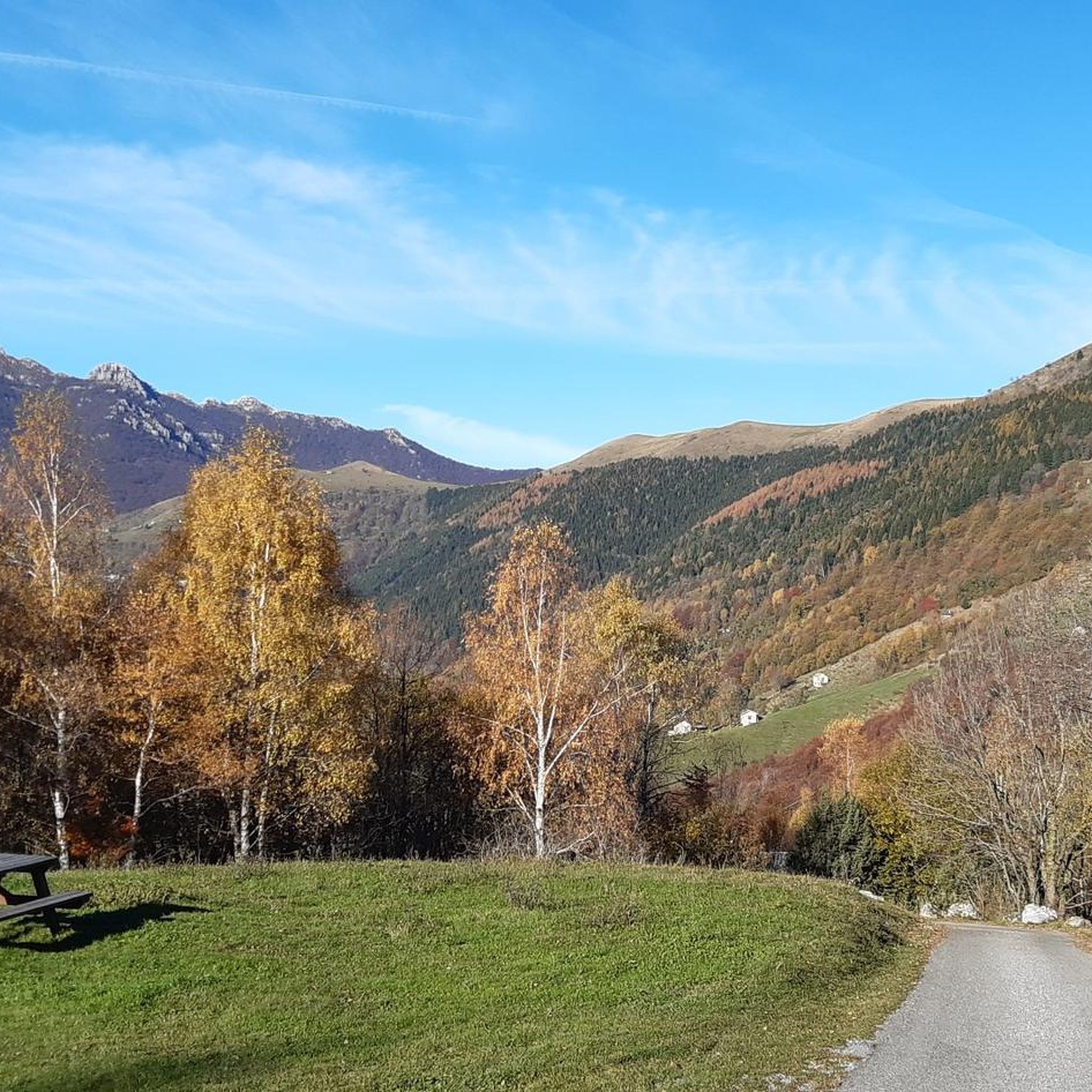
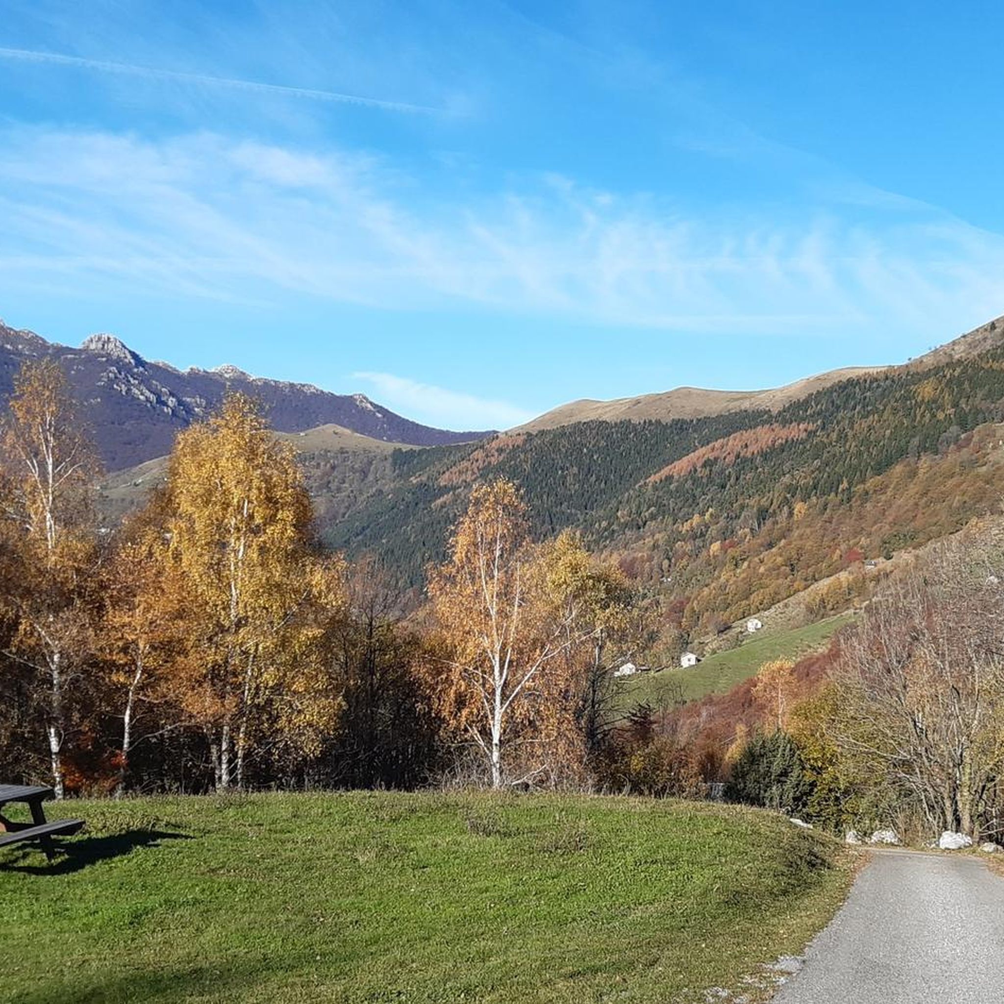
View that can be admired just after the start
0
0
Beautiful refuge managed by very kind people, unfortunately we couldn't stop to eat but we will make up for it
0
0

Beautiful place perfect for lunch or a break after descending from the summit of Due Mani
0
0
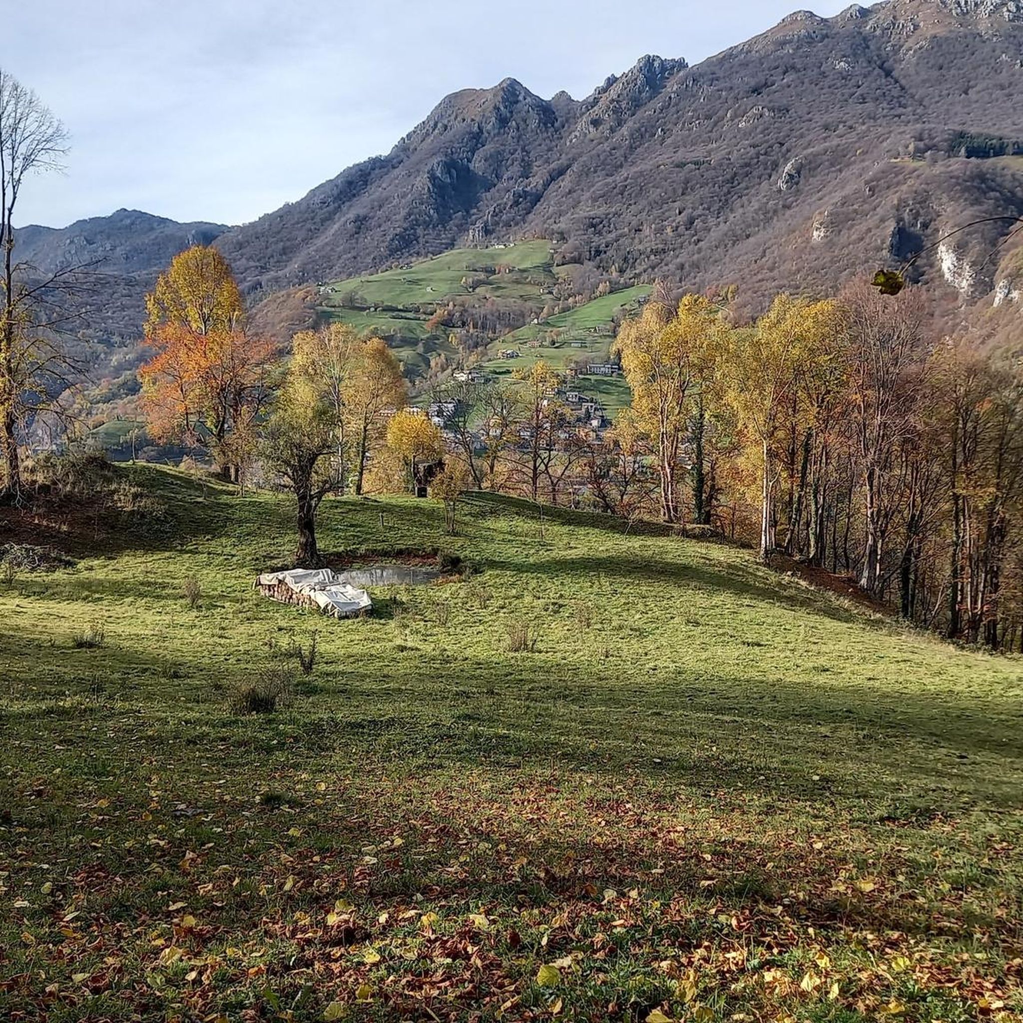
Always a show as always
0
0
Cross overlooking the summit of Mount Resegone, here is the best view in the area
0
0

Breathtaking view of the valleys
0
0
Frequently Asked Questions
How many running routes are available in Fuipiano Valle Imagna, and what are their difficulty levels?
There are over 90 running routes in Fuipiano Valle Imagna. The majority, around 66, are classified as difficult, offering significant climbs and descents. There are also 22 moderate routes and 3 easier options for those seeking a less strenuous run.
Are there any easy running routes suitable for beginners in Fuipiano Valle Imagna?
While Fuipiano Valle Imagna is known for its challenging mountain terrain, there are 3 routes classified as easy, perfect for beginners or those looking for a more relaxed run. These trails typically feature less elevation gain and gentler paths.
What kind of terrain can I expect on the jogging trails in Fuipiano Valle Imagna?
Jogging routes in Fuipiano Valle Imagna are characterized by a mountainous landscape with significant elevation changes. You'll often traverse through dense woodlands and open mountain passes, providing a diverse environment with both strenuous climbs and scenic views.
Are there any long-distance running trails in Fuipiano Valle Imagna?
Yes, for those seeking longer distances, routes like the Bocchetta di Pallio – Passo del Palio loop from Brumano offer an 8.5-mile (13.7 km) path with sustained climbs and expansive views. Many of the difficult routes exceed 10 km, providing ample opportunity for long-distance training.
Can I find circular running routes in Fuipiano Valle Imagna?
Absolutely. Many of the popular running routes in the region are circular, allowing you to start and end in the same location. Examples include the Running loop from Brumano and the Running loop from Morterone, which are well-loved by local runners.
What kind of viewpoints or natural attractions can I expect along the running routes?
The mountainous terrain of Fuipiano Valle Imagna offers numerous panoramic viewpoints. You might encounter highlights such as the Artavaggio Plateau, known for its stunning vistas, or natural monuments like The Three Beeches of Fuipiano Imagna. Many routes navigate through scenic passes and dense woodlands, providing beautiful natural scenery.
What do other runners say about the trails in Fuipiano Valle Imagna?
The running routes in Fuipiano Valle Imagna are highly rated by the komoot community, with an average score of 4.5 stars from over 90 reviews. Runners often praise the challenging mountain climbs, the beauty of the dense woodlands, and the scenic passes that define the area's trails.
Are there any specific routes that offer a good challenge for advanced runners?
For advanced runners, routes like the Running loop from Brumano stand out. This 5.7-mile (9.2 km) trail features nearly 900 meters of elevation gain, offering a strenuous workout. The Bolla di Valmana – I Canti loop from Fuipiano Valle Imagna is another difficult option, covering 12.3 km with over 600 meters of ascent.
What is the best season for running in Fuipiano Valle Imagna?
Fuipiano Valle Imagna's mountainous environment makes spring and autumn ideal for running, with cooler temperatures and vibrant scenery. Summer can be pleasant at higher elevations, but be prepared for warmer conditions in the valleys. Winter running is possible, but some higher trails may be affected by snow and ice, requiring appropriate gear.
Are there any huts or refuges near the running routes for refreshments or shelter?
Yes, the region has several huts that can serve as points of interest or for a break. Notable ones include the Luigi Azzoni Hut (Monte Resegone), Nicola Hut, and Gherardi Hut. These can be found along or near various trails, offering opportunities for rest and refreshments.
Is there public transport access to the running trails in Fuipiano Valle Imagna?
Access to trails in Fuipiano Valle Imagna often involves local bus services connecting the smaller villages. While some trailheads might be directly accessible, many require a short walk from the nearest bus stop. It's advisable to check local bus schedules in advance, as services can be less frequent in mountainous areas.
Are there any running routes that are particularly scenic or considered 'hidden gems'?
While many routes offer stunning views, exploring trails that venture deeper into the less-trafficked woodlands or higher mountain passes can reveal hidden gems. The Torre degli Alpini (La Túr) loop from Vedeseta, for instance, offers a unique perspective of the landscape away from the most popular spots, combining historical interest with natural beauty.
Most popular routes around Fuipiano Valle Imagna
Most popular attractions around Fuipiano Valle Imagna

Get inspired with the komoot mobile app


Explore more
Browse the best Running Trails & Routes in other regions.
