Top 18 Mountain Passes around Berbenno
Best mountain passes around Berbenno di Valtellina, located in the mountainous Valtellina region at the foot of the Rhaetian Alps, offer access to numerous mountain passes. This area serves as a base for exploring several notable passes in the surrounding Lombardy region. These passes are known for their natural beauty, historical significance, and the challenges they present to cyclists and hikers. The region provides diverse outdoor activities, including rock climbing, mountain biking, and rafting.
Best mountain passes around Berbenno
- The…
Last updated: October 13, 2026
Valcava Pass
Highlight • Mountain Pass
Translated by Google •
Tip by

Pertüs Pond
Highlight • Lake
Translated by Google •
Tip by

Sign up now to discover places like this
Get recommendations on the best single tracks, peaks, & plenty of other exciting outdoor places.
Palio Pass
Highlight • Mountain Pass
Translated by Google •
Tip by

Climb to Passo di Valcava from San Gottardo
Highlight (Segment) • Climb
Translated by Google •
Tip by

Monte Ocone Summit (1,356 m)
Highlight • Summit
Translated by Google •
Tip by

Sign up for free to discover even more mountain passes around Berbenno.
Already have an account?
Start today with a free account
Your next adventure awaits.
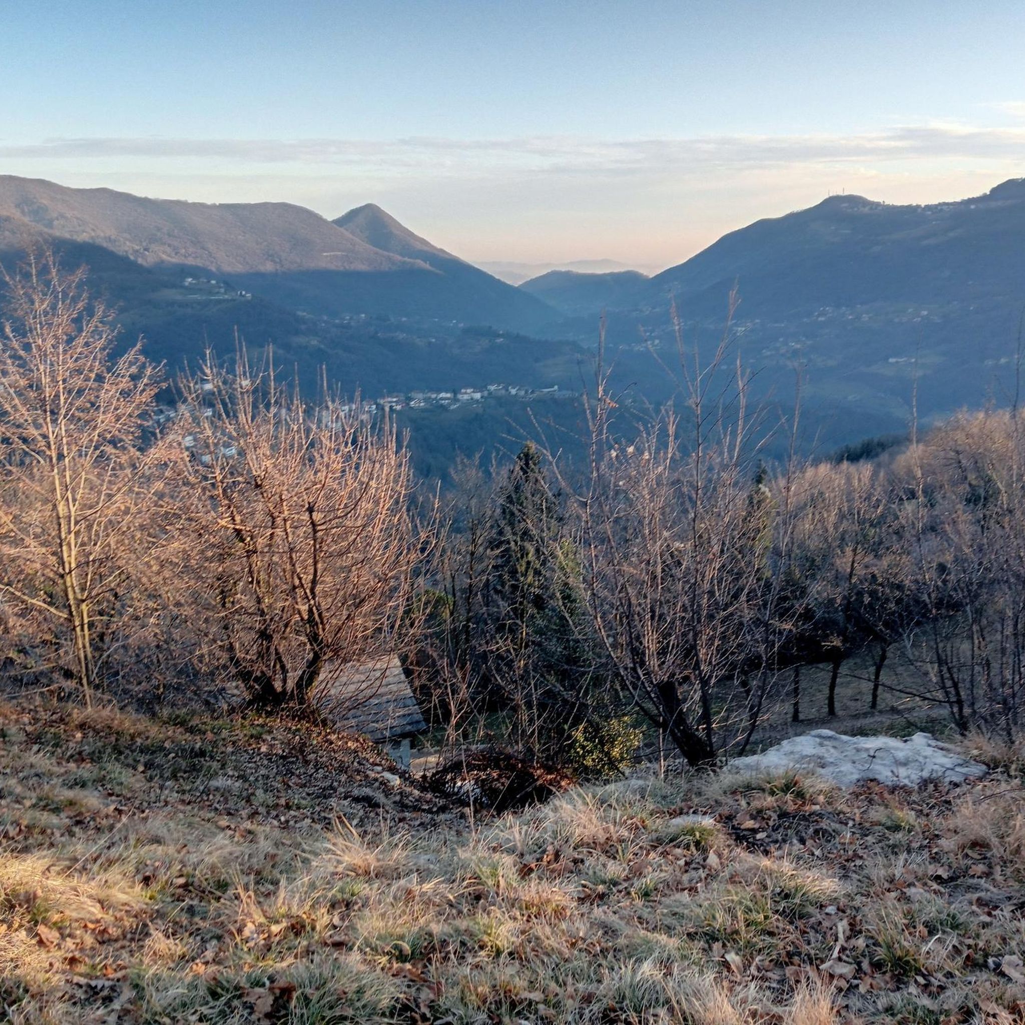
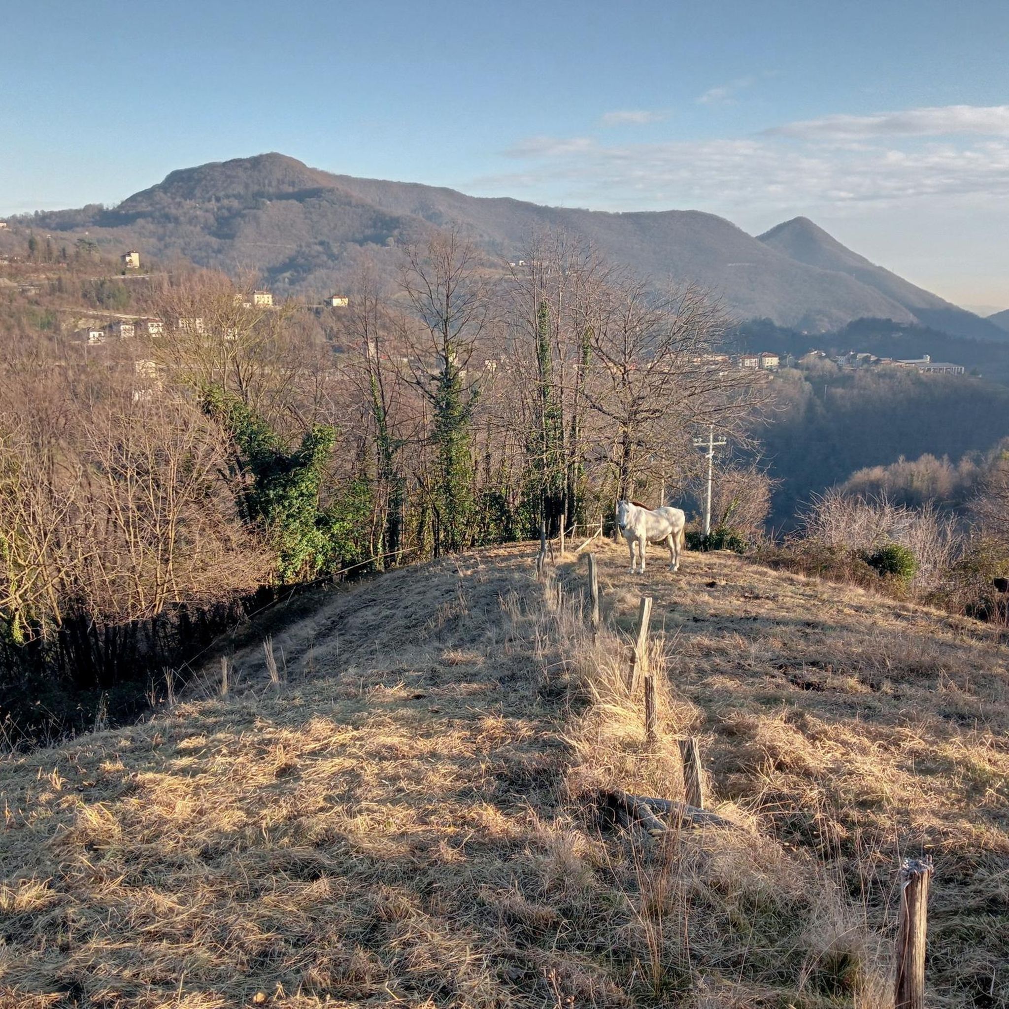
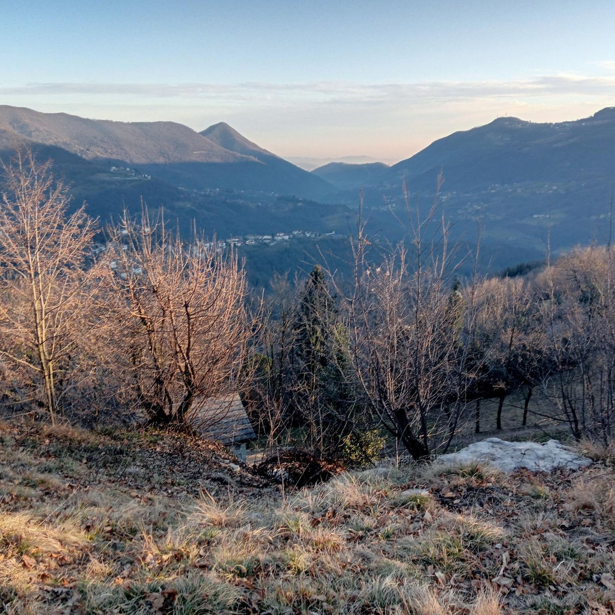
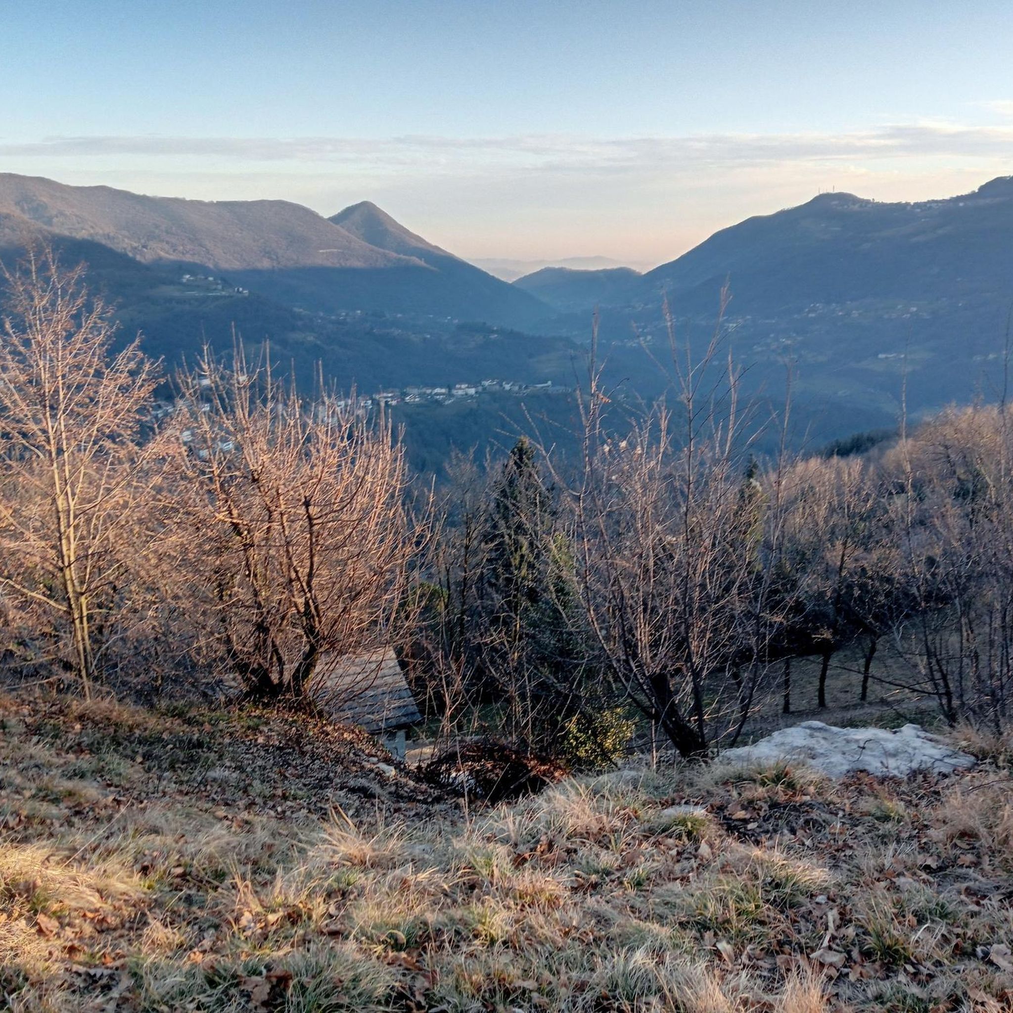
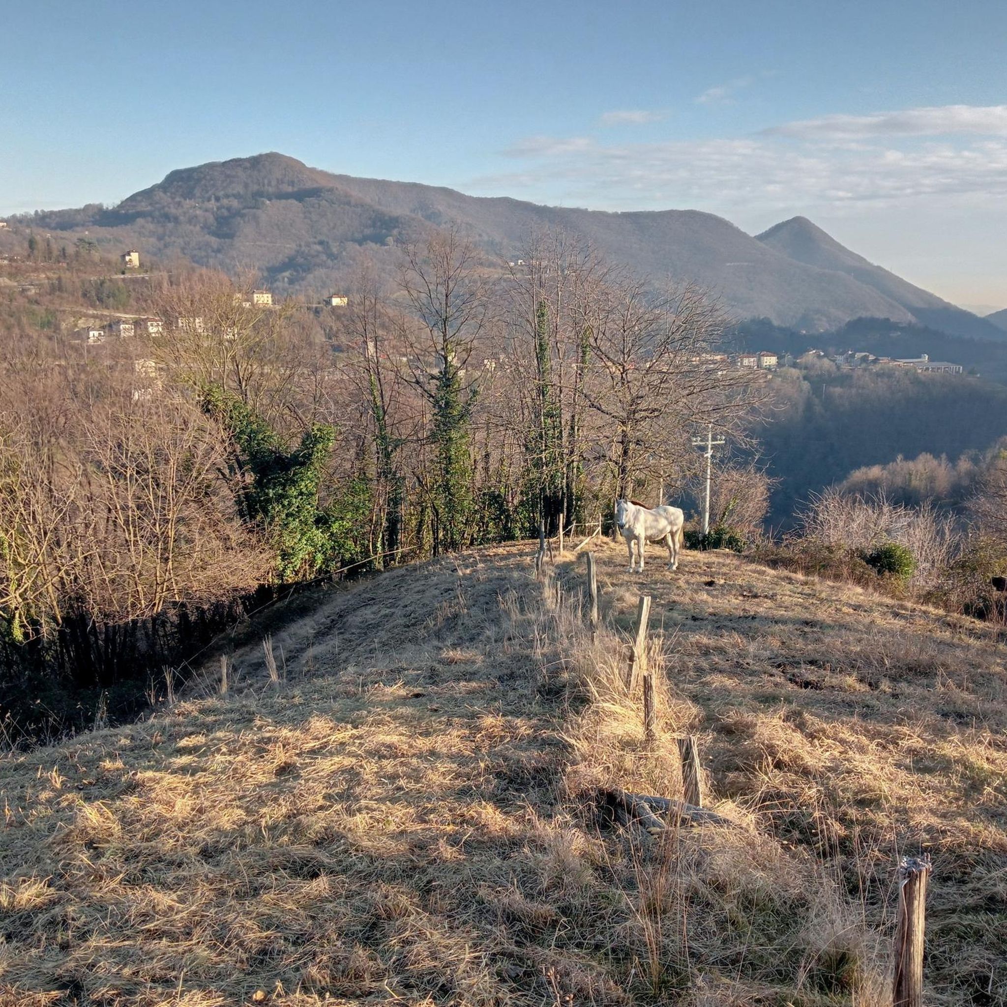


Tips from the Community

A legendary climb in the Bergamo valleys.
8
0

Summit arrival point of the climb from Morterone and pass with the Imagna valley. The historic path that connects with Brumano passed through here. If you climb from Morterone this is where your efforts end.
0
0

The final stages of the 1986 cycling season: the Giro di Lombardia is on stage, Gianbattista Baronchelli challenges Sean Kelly, winner that year of Milan-Sanremo and Paris-Roubaix, and Laurent Fignon, who had won the Flèche Wallonne and already had two Tours de France in his palmares. As per tradition, the riders tackle the climb of the Madonna del Ghisallo, but immediately after there is an unprecedented one, which is known to be tough but until you are there suffering it is difficult to understand how much. It is the Valico di Valcava: the riders tackle it with a good 100 km to go but the selection is still very clear. Fignon goes into a deep crisis, on the hardest stretch he has to put his foot down, he is exhausted and has to withdraw. At the top there are only 4 left, with Baronchelli and Kelly there are also Flavio Giupponi and Acacio Da Silva, on which Phil Anderson and Leo Schönenberger will also return on the descent. The 6 will remain together until the arrival in Milan, when Gibi Baronchelli will make everyone agree with a splendid thrust as a finisher. In that autumn of 1986, the Giro di Lombardia and Italy discovered the Valico di Valcava, a true balcony over Lombardy, which would remain a point of reference for the Classica delle Foglie Morte until 1990. The climb, which measures a total of 11.8 km with an average gradient of 8%, begins about a thousand meters further down the valley than the town of Torre de’ Busi and connects the Valle San Martino (province of Lecco) with the Valle Imagna (province of Bergamo). The most lethal stretch of the climb, even harder because it comes after several kilometers of challenging climbing, is the wall that begins about 4 km from the pass: immediately after a right bend, the road climbs straight for 250-300 meters with a gradient of 18% (announced by the road sign before the bend), then continues with less extreme gradients, but still very challenging for about 2.5 km, with other stretches at 14% and 17%, and over 11% on average. It was precisely on that 18% stretch that Fignon got off his bike and climbed into the team car. The Giro d'Italia only got to know him in 2012, in the 15th stage that took the group from Busto Arsizio to Pian dei Resinelli. Source: https://www.giroditalia.it/valico-di-valcava/
3
0
Tough climb (peaks at 20%) and very long (about 14 km), but the satisfaction once at the top is immense. Recommended for everyone, but only with good training. ATTENTION: There is no water along the climb, nor fountains of any kind, so stock up well beforehand. At a certain point, 1 km before the end of the climb there is a fake fountain, but the water is not drinkable, it is written but it is easy to miss the sign, do not drink there. Sometimes at the top there is a kiosk with sandwiches, water and other things, highly recommended.
4
0

The Perus lake is located at the pass of the same name (1300 m) which connects the San Martino Valley and the Imagna Valley. The name is in Bergamo dialect and means "hole", indicating a rather narrow passage. We talked about it during the gravel tour around Resegone in this article: https://outdoortest.it/resegone-360-con-la-bici-gravel/
2
0
The Palio Pass connects the Imagna valley with Valsassina. The pass is not very high, but offers a magnificent view of Resegone, Grigne and Zuccone Campelli. We talked about the gravel tour around Resegone here: https://outdoortest.it/resegone-360-con-la-bici-gravel/
1
0
Ascent but above all descent to be done very carefully.
16
0
Very long climb, it must also be tackled head-on.
14
0
Frequently Asked Questions
What are some of the most popular mountain passes to explore near Berbenno?
Visitors frequently enjoy Valcava Pass, known for its challenging climbs, and Pertüs Pond, which offers panoramic views of the Alps. Another favorite is Palio Pass, an intermediate route accessible with gravel from Brumano and Morterone.
Are there any challenging mountain passes for experienced cyclists or hikers near Berbenno?
Yes, for a significant challenge, the iconic Stelvio Pass, while further east, is a legendary climb for road cyclists with 48 hairpin turns and breathtaking views. Closer to Berbenno, Valcava Pass features sections reaching an 18% gradient, particularly from the Lecco side. For hikers, Monte Ocone Summit (1,356 m) offers a very steep and technical climb, recommended for expert hikers.
What mountain passes offer historical insights or features near Berbenno?
Both San Marco Pass and Dordona Pass, connecting Valtellina with Val Brembana, hold historical significance. You can find trenches from World War I in their immediate vicinity, offering a blend of natural beauty and historical exploration.
Are there family-friendly mountain passes or trails around Berbenno?
Yes, Pertüs Pond is considered family-friendly, offering a small lake with a refreshment area and lawns to rest, alongside enchanting views. While some passes are challenging, many areas around them offer easier sections or alternative trails suitable for families.
What kind of views can I expect from the mountain passes in the Berbenno area?
The mountain passes around Berbenno offer spectacular panoramic views. From Pertüs Pond, on clear days, you can see peaks like Monte Rosa, Cervino, Adamello, Resegone, and Grigne. San Marco Pass provides wonderful views of the Bergamo Orobie Alps and the Valtellina. From Monte Ocone Summit, you can admire a beautiful view of the plain and the Grigne, Resegone, Monte Rosa, and Adamello.
What is the best time of year to visit the mountain passes around Berbenno?
The best months for hiking and cycling the mountain passes are generally from May to October. During this period, the weather is more favorable, and trails are typically clear of snow. Winter ascents, especially after the first snowfalls, are not recommended for challenging peaks like Monte Ocone Summit due to steep slopes and potential ice.
What outdoor activities can I do near the mountain passes around Berbenno?
The region around Berbenno is excellent for diverse outdoor activities. You can find numerous hiking trails, including easy routes like the Valle del Brunone Trail C, or more challenging mountain hikes such as the Monte Ocone Via Ferrata loop. Cycling is also very popular, with routes like the Palio Pass – Brumano – Restoni Forest loop. The area also offers rock climbing, mountain biking, and rafting.
Are there any mountain passes near Berbenno that are known for their natural wilderness?
Yes, Valle Alpisella Pass, situated near Livigno, offers a fantastic area of pure nature with minimal traffic and limited mobile phone reception. It's known for great trails and provides stunning alpine scenery and a sense of wilderness, ideal for mountain biking and hiking.
What do visitors enjoy most about the mountain passes around Berbenno?
Visitors appreciate the challenging yet rewarding experiences, the breathtaking panoramic views of the Alps, and the blend of natural beauty with historical significance. The variety of routes, from demanding climbs to scenic trails, caters to different skill levels, making it a popular destination for cyclists and hikers alike.
Which mountain passes offer views of the Valmalenco valley?
Caldenno Pass, located at 2,587 meters near Ardenno, offers rewarding vistas and provides views of the Valmalenco valley as well as Berbenno itself. It's a technical route appealing to experienced hikers.
Can I find refreshment areas or facilities at the mountain passes?
Yes, at Pertüs Pond, there is a refreshment area available. Some passes, like Valcava Pass, may also have facilities or cafes nearby, especially at the summit or along popular routes.
Most popular routes around Berbenno
Most popular attractions around Berbenno

Get inspired with the komoot mobile app


Explore more
See even more epic mountain passes by checking out these guides around Berbenno:
