The best walks and hikes around Almenno San Salvatore
4.3
(323)
2,506
hikers
29
hikes
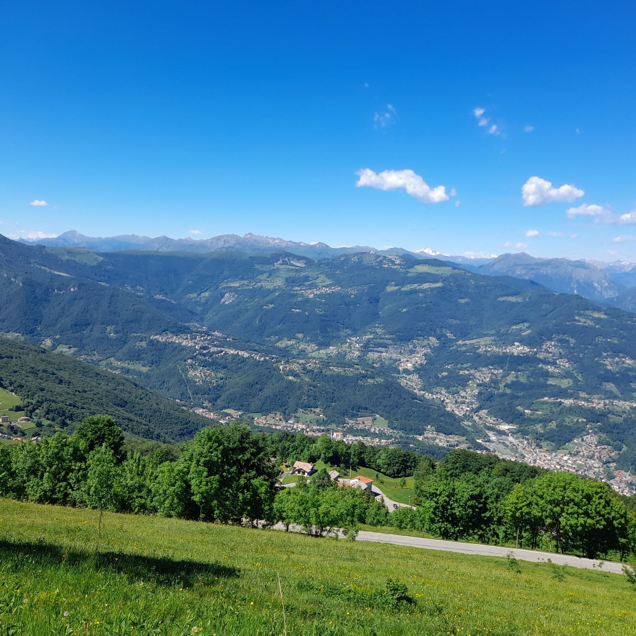
Hiking around Almenno San Salvatore, located in Italy's Lombardy region within the Province of Bergamo, offers diverse natural scenery and a network of trails. The area features varied terrain, including mountain paths and historical routes, with numerous lookout points providing panoramic views. The landscape is characterized by its natural environment, offering different experiences depending on the season.
Best hiking trails around Almenno San Salvatore
- The most popular hiking route is Summit cross on Monte Ubione – Sentiero del Chittò, Clanezzo…
Last updated: October 12, 2026
4.6
(32)
141
hikers
6.56km
01:49
110m
110m
Easy hike. Great for any fitness level. Easily-accessible paths. Suitable for all skill levels.
3.9
(12)
49
hikers
Hard hike. Good fitness required. Sure-footedness, sturdy shoes and alpine experience required.

4.5
(6)
40
hikers
10.7km
02:50
90m
90m
Moderate hike. Good fitness required. Easily-accessible paths. Suitable for all skill levels.
4.0
(2)
26
hikers
Moderate hike. Good fitness required. Easily-accessible paths. Suitable for all skill levels.
4.5
(2)
21
hikers
Moderate hike. Good fitness required. Easily-accessible paths. Suitable for all skill levels.
Get access to more routes and recommendations from other explorers.
Already have an account?
Our route recommendations are based on thousands of hikes, rides, and runs completed by other people on komoot.
Start today with a free account
Your next adventure awaits.


Tips from the Community

The main inhabited center of Roncola is situated on a ridge at about 854 meters above sea level, near which flows the Valdimagnino loop. The remaining hamlets, including Roncola Alta, San Defendente, and Cà Maltroti, occupy the northern slope of this ridge, at altitudes ranging from 600 to over 1000 meters.
0
0

The Basilica (or Church) of San Giorgio in Lemine in Almenno San Salvatore is one of the most important and pure examples of Romanesque architecture in Lombardy, famous for its cycle of 13th-14th century frescoes and for its recent reopening after 14 months of restoration. 🏛️ Identity and historical importance The Church of San Giorgio in Lemine, often called a "basilica" due to its three-nave structure, dates back to the 11th-12th century and is a masterpiece of Bergamasco Romanesque style. It stands in the ancient territory of Lemine, an area already important in Roman times, as evidenced by archaeological finds and remains discovered near the church. The building was part of a medieval village destroyed in 1443 by the Venetian Republic, which explains its current isolation in the countryside of Almenno San Salvatore.
0
0
The Basilica (or Church) of San Giorgio in Lemine in Almenno San Salvatore is one of the most important and pure examples of Romanesque architecture in Lombardy, famous for its 13th-14th century fresco cycle and for its recent reopening after 14 months of restoration. --- 🏛️ Identity and historical importance The Church of San Giorgio in Lemine, often called a “basilica” due to its three-nave structure, dates back to the 11th-12th century and is a masterpiece of Bergamasco Romanesque. It stands in the ancient territory of Lemine, an area already important in Roman times, as evidenced by artifacts and archaeological remains found near the church. The building was part of a medieval village destroyed in 1443 by the Venetian Republic, a fact that explains its current isolation in the countryside of Almenno San Salvatore.
0
0

Attone bridge and Clanezzo customs house
0
0
The Chitò bridge connects the V.Imagna state road to the Chitò cycle path that leads to Clanezzo.
1
0

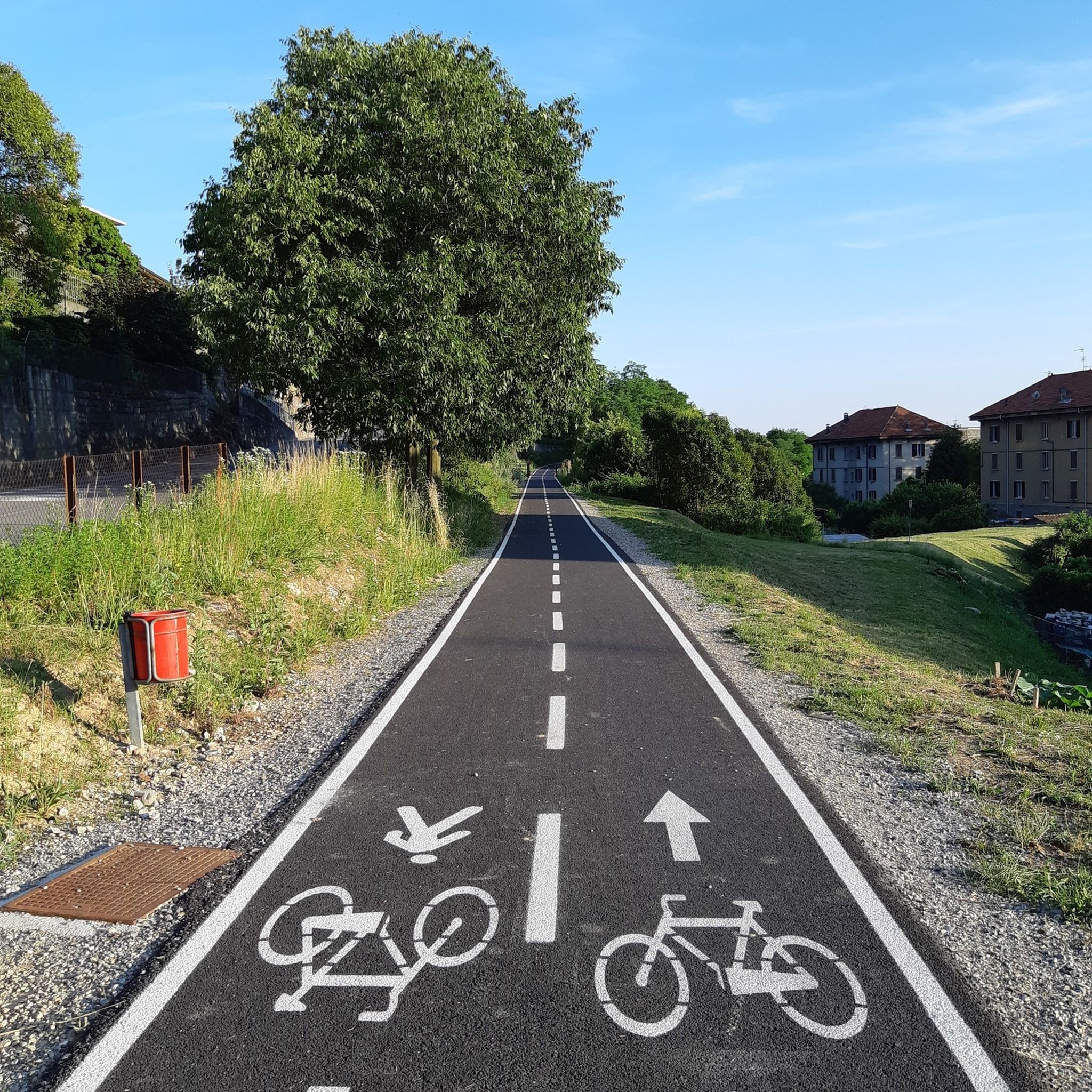
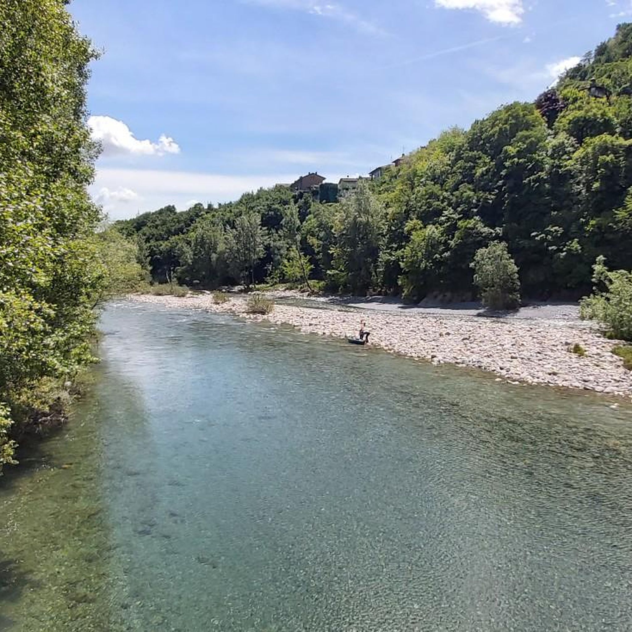
Impressive bridge with a notable height on the valley floor where the Imagna stream flows. Among other things, it is a passage point on the Imagna valley cycle path coming from Clanezzo.
0
0

great satisfaction to get there by bike. consider that there is some portage.
0
0

Very pretty town in the Bergamo valleys.
23
0
Frequently Asked Questions
How many hiking trails are available around Almenno San Salvatore?
There are over 30 hiking trails around Almenno San Salvatore, offering a wide range of options for different skill levels and preferences. These include mountain paths, forest trails, and historical routes.
What kind of terrain can I expect on hikes in Almenno San Salvatore?
The terrain around Almenno San Salvatore is quite diverse, ranging from gentle historical routes to challenging mountain paths. You can expect varied landscapes, including forested areas, open viewpoints, and ascents to summits like Monte Ubione or Monte Linzone. The region is known for its 'unspoiled and regenerating landscape'.
Are there easy hiking options for beginners or casual walkers?
Yes, Almenno San Salvatore offers nearly 20 easy hiking routes, making it suitable for beginners or those looking for a more relaxed walk. These trails often wind through gentle landscapes and historical areas, providing a pleasant experience without significant elevation gain.
What natural features or attractions can I discover while hiking in the area?
While hiking, you can explore various natural features and attractions. The region is home to impressive gorges such as the Orrido di Bracca and the Orrido della Val Taleggio. You might also encounter viewpoints offering panoramic vistas, especially from higher elevations like Monte Linzone.
Are there many circular hiking routes in Almenno San Salvatore?
Yes, many of the trails around Almenno San Salvatore are designed as circular routes, allowing you to start and end your hike in the same location. Examples include the Summit cross on Monte Ubione – Sentiero del Chittò, Clanezzo loop and the Monte Linzone Summit – View of Val Imagna loop.
What do other hikers enjoy most about hiking in Almenno San Salvatore?
The hiking trails in Almenno San Salvatore are highly rated by the komoot community, with an average score of 4.3 stars from over 290 reviews. Hikers often praise the diverse natural scenery, the well-maintained network of trails, and the numerous lookout points offering panoramic views of the surrounding landscape.
Are there family-friendly hiking trails suitable for children?
Yes, the region offers 'itineraries for all tastes,' including more gentle historical routes and easy paths that are suitable for families with children. These trails provide an opportunity to enjoy the natural environment without overly strenuous climbs, allowing for a pleasant family outing.
Can I bring my dog on the hiking trails in Almenno San Salvatore?
Generally, dogs are welcome on hiking trails in the Almenno San Salvatore area. However, it's always recommended to keep your dog on a leash, especially in areas with wildlife or livestock, and to follow local regulations regarding pet access. Please ensure you clean up after your pet to maintain the pristine nature of the trails.
Is there public transport available to reach the trailheads?
Almenno San Salvatore is a municipality in the Province of Bergamo. While local bus services connect the town to nearby areas, specific public transport options directly to every trailhead might be limited. It's advisable to check local bus schedules for connections to the starting points of your chosen routes.
Where can I park my car when going for a hike?
Parking is generally available in and around Almenno San Salvatore. For specific trailheads, you may find designated parking areas, especially near popular starting points or villages. It's recommended to check the route details on komoot or local signage for the most convenient parking options.
What is the best time of year to go hiking in Almenno San Salvatore?
The diverse landscape of Almenno San Salvatore ensures that 'the landscape proposals are always different and involving' depending on the season. Spring and autumn offer pleasant temperatures and vibrant colors, while summer provides longer daylight hours. Winter hiking is also possible, though some higher or more exposed trails might require appropriate gear and caution.
Are there any historical routes or cultural points of interest along the trails?
Yes, the broader region, known as 'Lemine' since Roman times, features a blend of natural and historical walking paths. While Almenno San Salvatore is not explicitly called the 'Romanesque Park,' its proximity to Almenno San Bartolomeo suggests that you can find evocative itineraries through architectural beauties of Romanesque art, discoverable on foot.
Most popular routes around Almenno San Salvatore
Most popular attractions around Almenno San Salvatore

Get inspired with the komoot mobile app


Explore more
Browse the best Hikes in other regions.
