The best running trails around Albano Sant'Alessandro
3.0
(1)
309
runners
20
runs
Jogging routes around Albano Sant'Alessandro are set within the diverse landscapes of the Parco delle Valli d'Argo, which transitions between the Bergamo plain and Alpine valleys. The region features gentle wooded hills, terraced areas with vineyards and olive groves, and a mix of natural and cultivated environments. Trails often follow dirt roads and paths through valleys and along ridges, offering varied gradients and surfaces for running.
Best jogging routes around Albano Sant'Alessandro
- The most popular jogging route is Colle dei…
Last updated: October 13, 2026
25
runners
Moderate run. Good fitness required. Mostly paved surfaces. Suitable for all skill levels.
29
runners
Hard run. Very good fitness required. Mostly paved surfaces. Suitable for all skill levels.

29
runners
Hard run. Very good fitness required. Sure-footedness, sturdy shoes and alpine experience required.
29
runners
Moderate run. Good fitness required. Mostly paved surfaces. Suitable for all skill levels.
24
runners
24.7km
03:42
1,210m
1,210m
Hard run. Very good fitness required. Sure-footedness, sturdy shoes and alpine experience required.
Get access to more routes and recommendations from other explorers.
Already have an account?
Our route recommendations are based on thousands of hikes, rides, and runs completed by other people on komoot.
Start today with a free account
Your next adventure awaits.
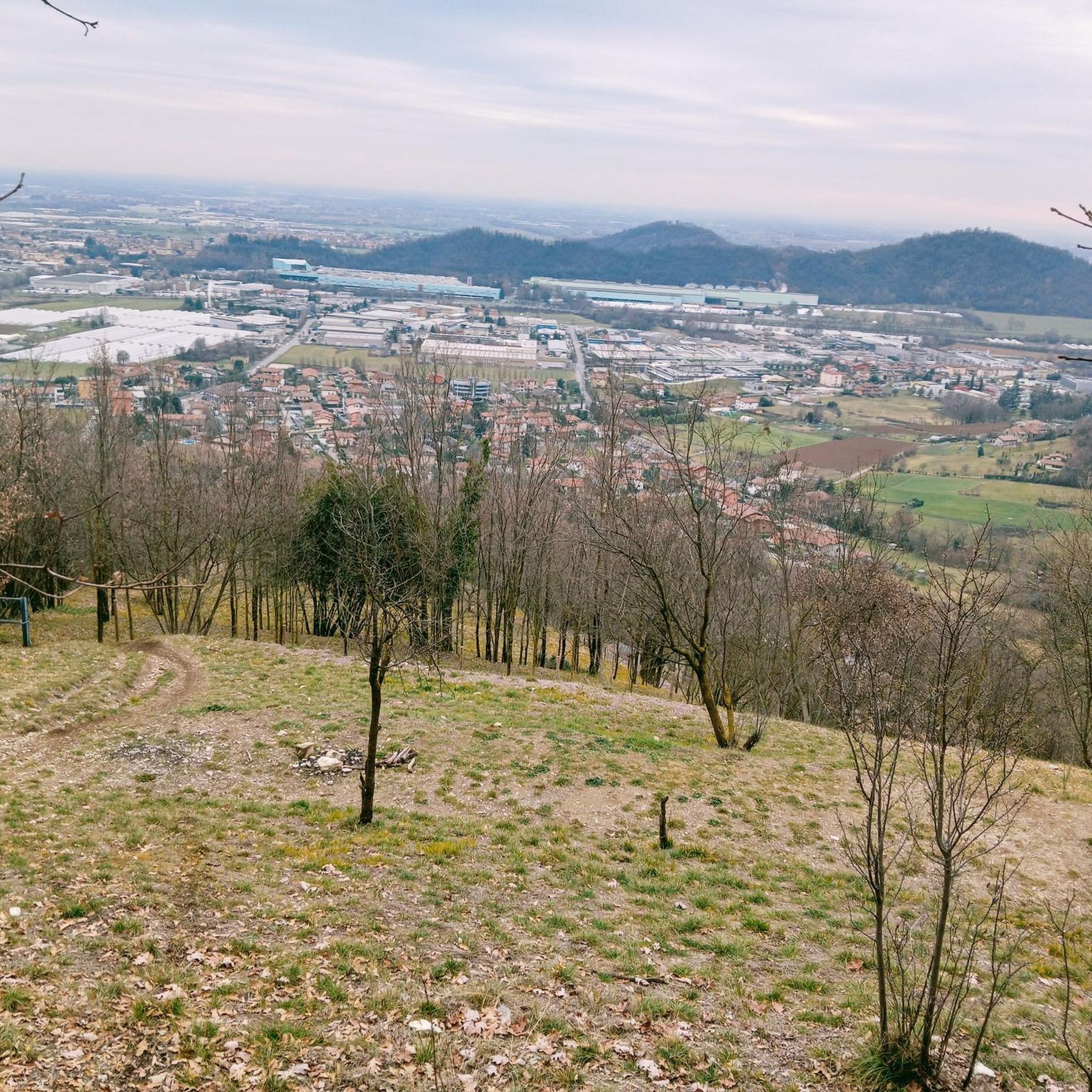
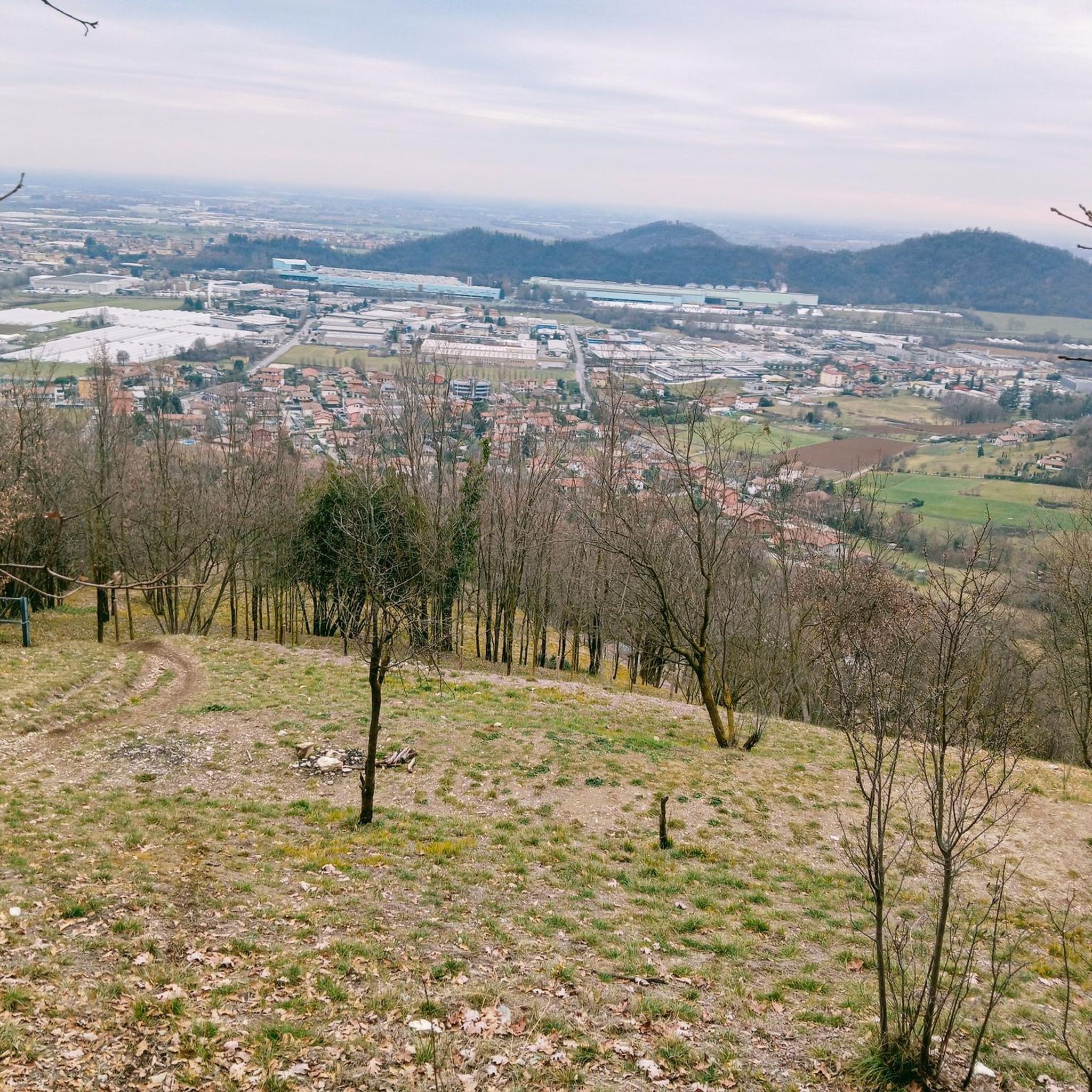
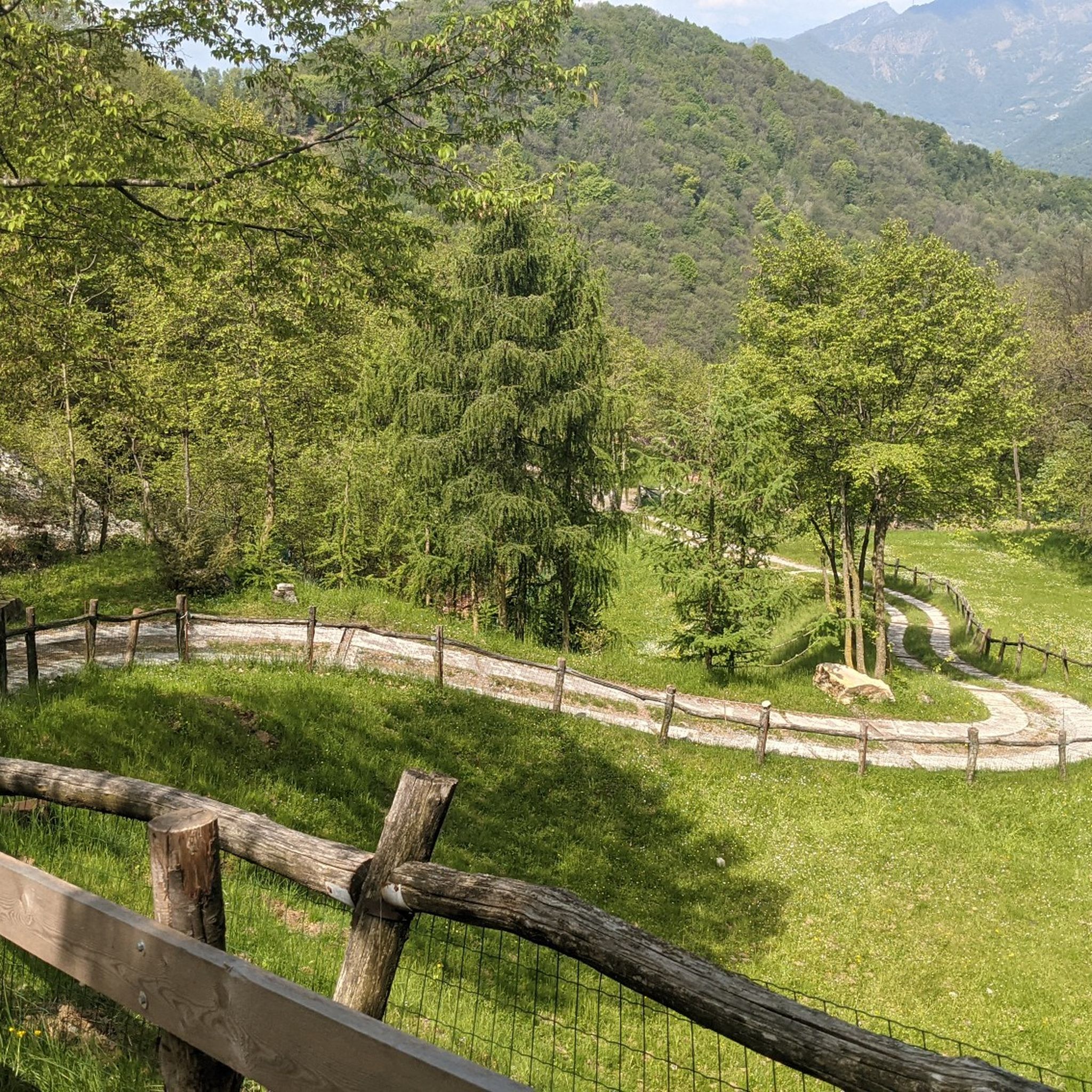
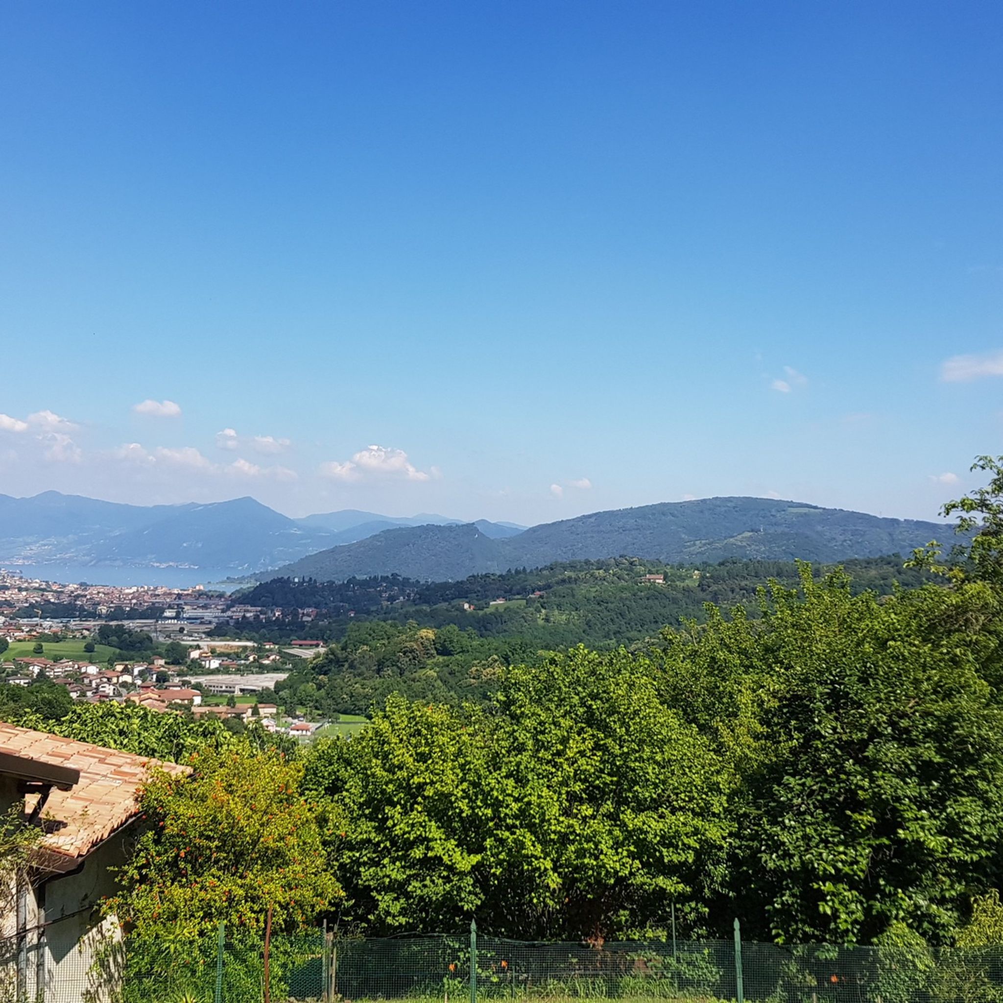
Tips from the Community

place of physical and mental refreshment within a beautiful itinerary
0
0

The Colle dei Pasta from Torre de' Roveri is one of the most classic and scenic cycling climbs and hiking routes in the Bergamasca area. The side that starts from Torre de' Roveri (Pittarello locality) is considered the most spectacular because it climbs through vineyards where the prized local wine is produced. Length: 2.7 kilometers Positive elevation gain: 162 meters Average gradient: 6% Maximum altitude: 416 meters a.s.l. The route develops on asphalt through 7 hairpin bends. The main roads involved are Via Papa Giovanni XXIII, Via Don Stefano Mangili, Via Colle dei Pasta and Via Collina Alta
0
0


2nd stage of the Charlemagne Way
0
0

The Hermitage of Santa Maria di Misma is a church located on the southern slope of Mount Misma, in the municipality of Cenate Sopra, province of Bergamo. It is a place of great historical and spiritual value, surrounded by nature and accessible via hiking trails2. History and Architecture The church is dedicated to Santa Maria Assunta and dates back to the 11th-12th century. It has a Romanesque style, with a single nave and a raised presbytery. In the past, it was a point of reference for wayfarers and traders who passed through the area. It was part of a religious complex that included a monastery of the Umiliati and a hospital. Excursions and Trails Trail 607 starts from the Church of Sant'Ambrogio and leads to the church of Santa Maria di Misma. The route is classified as hiking (E) and has a difference in altitude of 373 meters. It is possible to continue to the summit of Mount Misma (1160 m) in about an hour. Curiosity The church is located near the WWF Oasis Natural Reserve of Valpredina, a protected area for biodiversity. During the winter period, religious celebrations are suspended due to the difficult weather conditions
0
0

The descent via the less steep path on the north side was extremely muddy and dangerously slippery in early March!
0
0
Hermitage of St. Mary Herself
0
0
Frequently Asked Questions
What kind of terrain can I expect on running routes around Albano Sant'Alessandro?
The running routes in Albano Sant'Alessandro offer a diverse terrain, transitioning from the Bergamo plain to the Alpine valleys. You'll find gentle wooded hills, terraced areas with vineyards and olive groves, and a mix of natural and cultivated environments. Trails often follow dirt roads and paths, featuring varied gradients with both ascents and descents, providing an engaging experience for runners.
Are there any challenging running trails in the Albano Sant'Alessandro area?
Yes, for those seeking a challenge, there are several difficult running routes. One notable option is the View from Monte San Giorgio – Church of Santa Maria in Argon loop from Albano Sant’Alessandro, which covers over 16.5 km with significant elevation changes. The region also integrates into longer, more challenging routes like the CAI 626 pilgrimage trail and sections of the Charlemagne Path, offering extensive opportunities for long-distance and demanding runs.
What do other runners say about the jogging routes in Albano Sant'Alessandro?
The running routes in Albano Sant'Alessandro are highly rated by the komoot community, with an average score of 4.0 stars from more than 5 reviews. Over 200 runners have explored the varied terrain, often praising the scenic beauty, the mix of surfaces, and the tranquility of the natural parks and less-trafficked paths.
Are there any family-friendly running routes in Albano Sant'Alessandro?
While the guide primarily features moderate and difficult routes, the diverse landscapes within the Parco delle Valli d'Argo offer paths that can be adapted for family outings. Look for routes with gentler gradients and shorter distances, such as the Roggia Borgogna Trail loop from Albano Sant'Alessandro, which is a moderate 7.7 km route with minimal elevation gain, making it suitable for families looking for a less strenuous run or walk.
Can I bring my dog on the running trails around Albano Sant'Alessandro?
Many of the natural paths and dirt roads in the Parco delle Valli d'Argo are suitable for running with dogs. However, it's always recommended to keep your dog on a leash, especially in areas with wildlife or near agricultural land. Please ensure you follow local regulations and clean up after your pet to maintain the natural environment for everyone.
What are some scenic viewpoints or landmarks I can see while running in Albano Sant'Alessandro?
The region offers numerous scenic spots. The Colle dei Pasta – View of the Bergamo Vineyards loop from Albano Sant’Alessandro provides beautiful vistas of the Bergamo vineyards. Along the Albano Valley Loop Trail, you can encounter historical churches like Santa Maria d'Argon and San Giorgio, offering cultural interest and scenic views over the surrounding plain. The Colle dei Pasta itself is a notable climb with great views.
Are there any long-distance running options in the area?
Yes, Albano Sant'Alessandro is integrated into several longer routes. The CAI 626 pilgrimage trail, linking medieval churches and hermitages, passes through the area. Additionally, sections of the 212.4 km Charlemagne Path and 'The Sisters' Way,' a 130 km route connecting Brescia to Bergamo, offer extensive opportunities for long-distance running amidst diverse landscapes and cultural highlights.
What is the best time of year to go jogging in Albano Sant'Alessandro?
The routes in Albano Sant'Alessandro are generally accessible year-round. However, spring and autumn offer particularly pleasant conditions with milder temperatures and vibrant natural scenery. It's advisable to avoid certain dirt paths immediately after heavy rains, as they can become muddy and slippery, especially on steeper sections like the 'Mappol' hill.
Are there any circular running routes available?
Yes, many of the popular running routes in Albano Sant'Alessandro are circular, allowing you to start and finish at the same point. Examples include the Colle dei Pasta – View of the Bergamo Vineyards loop from Albano Sant’Alessandro and the G.P.M. del Col dei Pasta loop from Torre de' Roveri. These loops are great for exploring the varied landscapes without needing to retrace your steps.
Are there any easy running routes for beginners in Albano Sant'Alessandro?
The routes around Albano Sant'Alessandro are predominantly classified as moderate or difficult, with no routes specifically listed as 'easy' in the guide data. However, the region's diverse terrain includes flatter sections and dirt roads that can be suitable for beginners looking for a less strenuous experience. The Roggia Borgogna Trail loop from Albano Sant'Alessandro, with its minimal elevation gain, could be a good starting point for those new to running in the area.
Where can I find parking near the running trails?
While specific parking details for each trail are not provided, many routes, especially those starting from Albano Sant'Alessandro or nearby towns like Torre de' Roveri, typically have accessible parking options within the town centers or at designated trailheads. For routes like the Albano Valley Loop Trail, local parking areas would be the most convenient.
What kind of natural features define the running experience in this region?
The running experience is largely defined by the Parco delle Valli d'Argo, which features gentle wooded hills, particularly on north-facing slopes, and terraced areas on south-facing slopes adorned with vineyards and olive groves. You'll encounter a mix of natural and cultivated landscapes, including meadows, rare arable fields, and dense woods, providing ever-changing scenery and varied gradients.
Most popular routes around Albano Sant'Alessandro
Most popular attractions around Albano Sant'Alessandro

Get inspired with the komoot mobile app


Explore more
Browse the best Running Trails & Routes in other regions.
