The best road cycling routes around Teisendorf
4.6
(41)
936
riders
65
rides
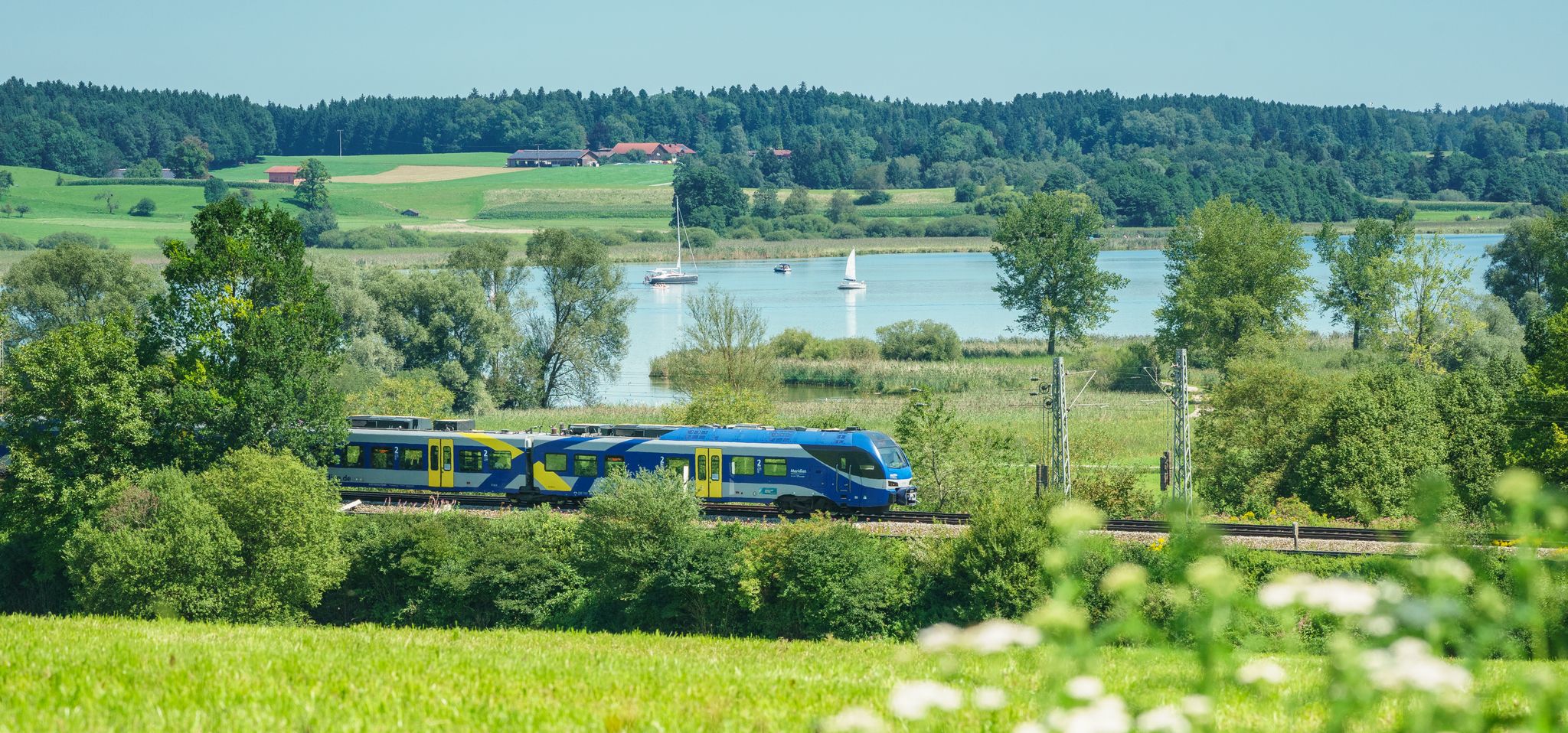
Road cycling routes around Teisendorf traverse a varied landscape in Bavaria, Germany, situated between the Chiemgau Alps and Lake Waginger. The region features rolling hills, wide fields, and mountains such as the Teisenberg. Cyclists can explore a network of bike paths and low-traffic side streets, with routes ranging from gentle terrain to more challenging ascents.
Best road cycling routes around Teisendorf
- The most popular road cycling route is View from Hochberg – Traunstein loop from Teisendorf, a 27.7 miles…
Last updated: October 11, 2026
4.8
(5)
87
riders
44.9km
02:18
710m
710m
Moderate road ride. Good fitness required. Mostly well-paved surfaces and easy to ride.
5.0
(2)
50
riders
59.2km
03:09
760m
760m
Moderate road ride. Good fitness required. Mostly well-paved surfaces and easy to ride.

41
riders
Moderate road ride. Good fitness required. Mostly well-paved surfaces and easy to ride.
4.8
(5)
113
riders
Moderate road ride. Great for any fitness level. Some segments of this route may be unpaved and difficult to ride.
5.0
(2)
31
riders
80.3km
03:58
1,020m
1,020m
Hard road ride. Very good fitness required. Mostly well-paved surfaces and easy to ride.
Get access to more routes and recommendations from other explorers.
Already have an account?
Our route recommendations are based on thousands of hikes, rides, and runs completed by other people on komoot.



Tips from the Community

Don't forget to visit the Wieninger Brauhaus.
0
0

Still closed because the owner apparently does not want passage or a visit. A cycle path is currently being built from Glanegg to Fürstenberg on the L237 around the Gutshof. Status 06_2026
0
0

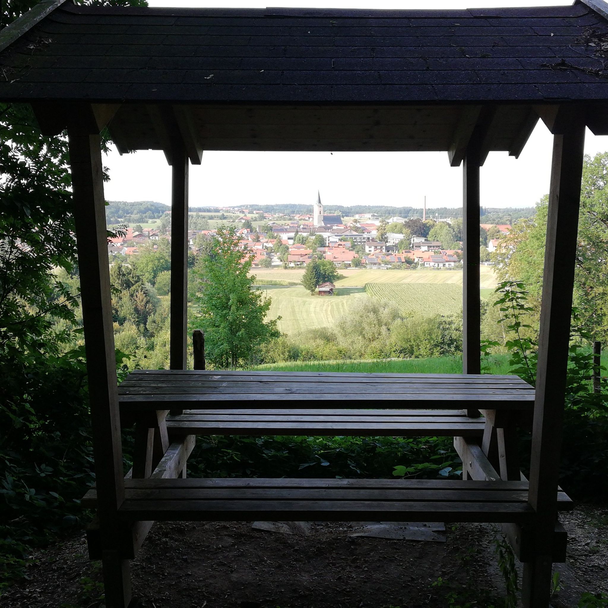
beautiful view and ideal as a bivouac spot for a quick overnight stay
0
0

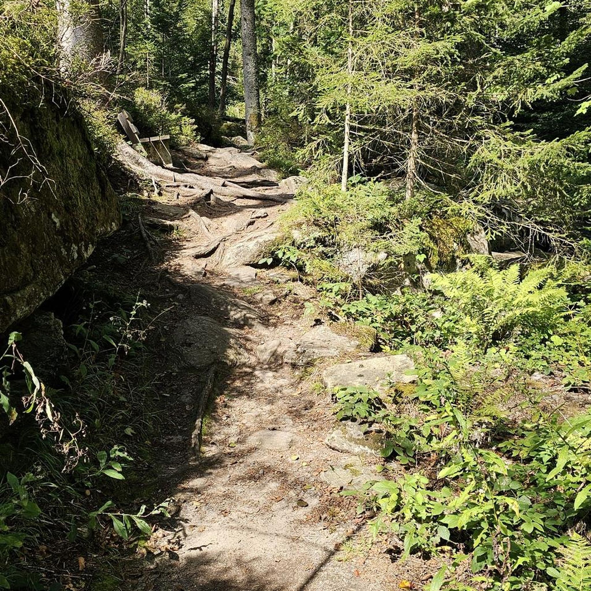
Always be careful, even in summer on the shady passages in the forest the road can be wet and slippery.
0
0
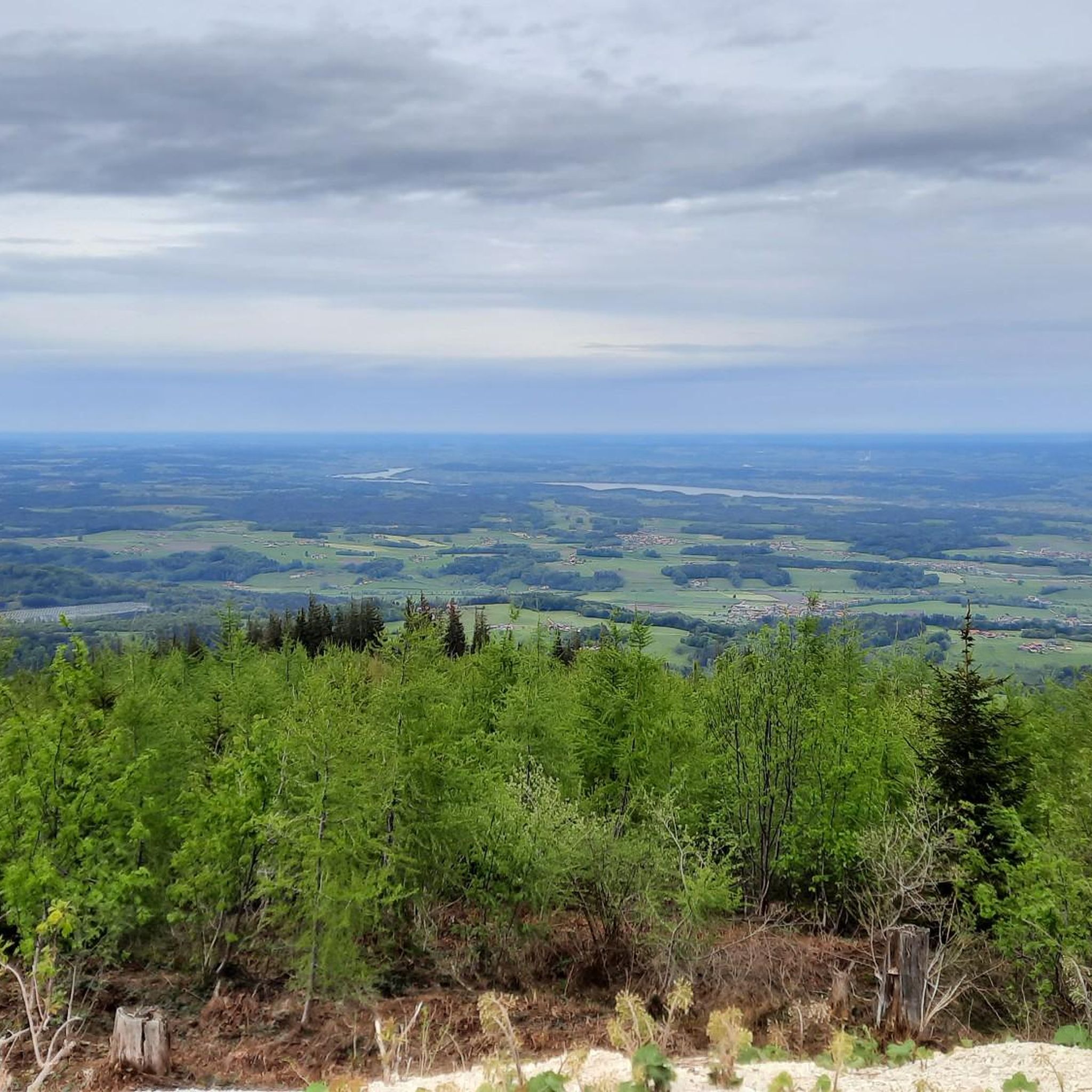
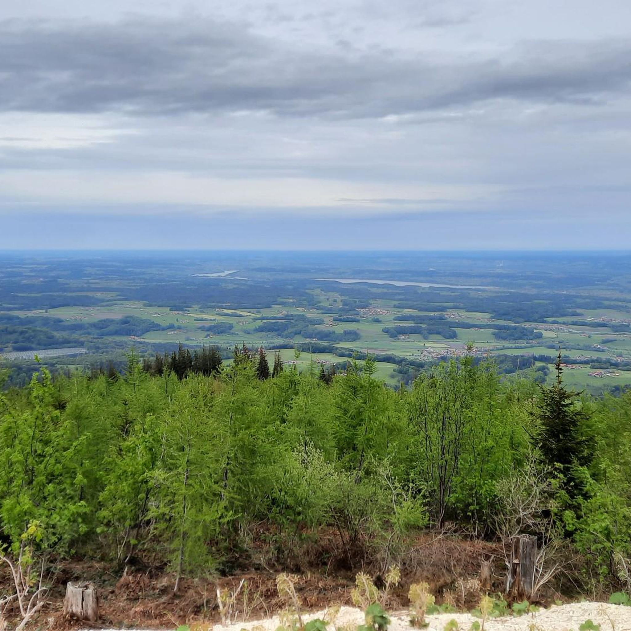
When you descend from Hochberg towards Traunstein you will be treated to a fantastic view of Lake Chiemsee.
0
0

Frequently Asked Questions
How many road cycling routes are available around Teisendorf?
There are over 75 road cycling routes available around Teisendorf, catering to various skill levels. The komoot community has explored nearly 1,000 of these routes, highlighting the region's diverse terrain.
What types of terrain can I expect on road cycling routes in Teisendorf?
Teisendorf offers a varied landscape for road cyclists, ranging from gentle, rolling hills and wide fields to more challenging mountain ascents. You'll find routes that traverse picturesque scenery between the Chiemgau Alps and Lake Waginger, with average elevations around 602 meters and peaks up to 1,319 meters.
Are there routes suitable for beginners or less experienced road cyclists?
Yes, Teisendorf offers several routes suitable for beginners. For example, the Teisendorf town center – View of Wimmern and Teisenberg loop from Teisendorf is an easy 22.1-mile (35.6 km) path that provides scenic views without overly demanding climbs. Overall, 11 easy routes are available.
What are some challenging road cycling routes for experienced riders in Teisendorf?
For experienced riders seeking a challenge, Teisendorf provides routes with significant climbs. The region is known for demanding ascents like the transmission mast on Högl (778 m) and the renowned Rossfeldpass (1,571 m). A difficult route option is the Staufen Bridge – Glanegg Castle loop from Holzhausen bei Teisendorf, which covers nearly 80 km with over 1,000 meters of elevation gain.
What is the best time of year for road cycling in Teisendorf?
The optimal seasons for road cycling in Teisendorf are spring and summer, when the weather is mild and the natural scenery is vibrant. Autumn also offers beautiful rides through colorful foliage, making it another excellent time to explore the region.
What scenic viewpoints or natural features can I see along the routes?
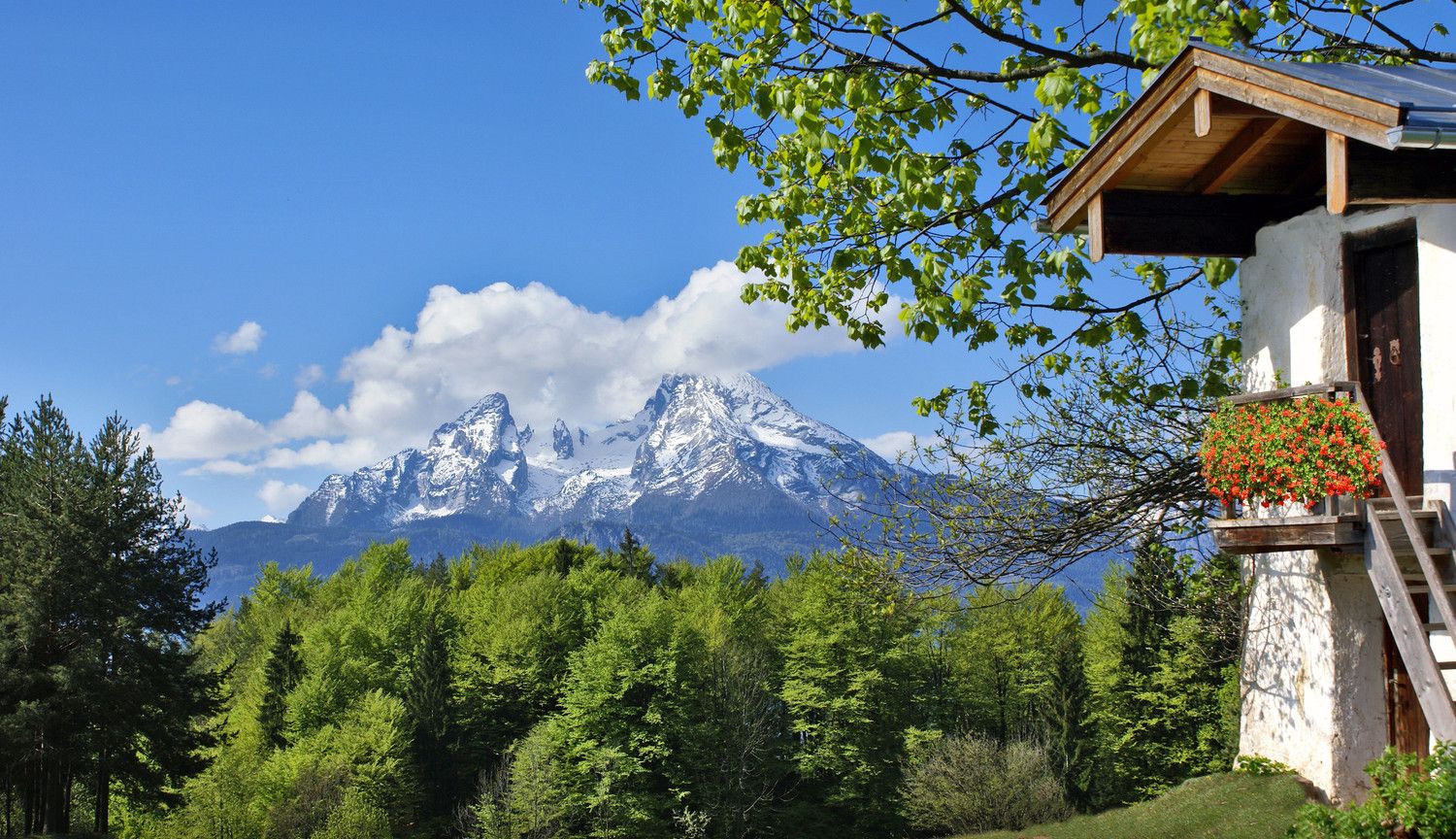
Many routes offer stunning views of the Berchtesgaden Alps, including the Hochkönig, Watzmann, and Reiteralpe. You can also enjoy breathtaking views of Lake Waginger. Notable viewpoints include View from Teisenberg and View of Lake Waging. The region also features beautiful lakes like Lake Waging and the nearby Abtsdorfer See.
Are there any circular road cycling routes in Teisendorf?
Yes, many road cycling routes in Teisendorf are designed as loops, allowing you to start and end in the same location. Examples include the View from Hochberg – Traunstein loop from Teisendorf and the Steep descent from Vachenlueg – View of the Mountains loop from Teisendorf.
What do other road cyclists enjoy most about the routes in Teisendorf?
The road cycling routes in Teisendorf are highly rated by the komoot community, with an average score of 4.6 stars from over 40 reviews. Cyclists often praise the varied terrain, from rolling hills to challenging ascents, and the stunning views of the Chiemgau Alps and Lake Waginger.
Are there any places to stop for refreshments or a break during a ride?
Yes, the region offers opportunities for breaks. For example, the Stoißer Alm, a mountain hut on the Teisenberg, is a popular spot offering Bavarian delicacies and expansive views, perfect for a mid-ride stop.
Can I find routes that connect to other regions or long-distance cycling paths?
Teisendorf's location makes it an ideal starting point for cross-border adventures into nearby Salzburg, Austria, and it's part of well-known long-distance cycling routes like the 'Mozart-Radweg' and the Bodensee-Königssee-Radweg, offering connections to broader networks.
What is the typical length of road cycling routes around Teisendorf?
The routes around Teisendorf vary significantly in length. You can find shorter routes, such as the Stadtplatz Traunstein – Traunstein loop from Neukirchen am Teisenberg at approximately 25 km, to much longer and more challenging rides exceeding 100 km, like Teisendorf - Breitenbach am Inn.
Most popular routes around Teisendorf
Most popular attractions around Teisendorf

Get inspired with the komoot mobile app


Explore more
Browse the best Road cycling routes in other regions.
