The best road cycling routes around Zanica
4.4
(1034)
31,783
riders
280
rides
Road cycling routes around Zanica traverse a landscape characterized by agricultural plains, gentle hills, and the presence of vineyards. The region offers a mix of flat sections ideal for speed and slight undulations that add variety to rides. Road cyclists can expect routes that pass through small towns, alongside rivers, and near historical sites like castles. The terrain is generally accessible, with elevations typically remaining below 200 meters, making for manageable climbs.
Best road cycling routes around Zanica
- The most…
Last updated: October 12, 2026
4.7
(7)
223
riders
80.5km
04:00
1,120m
1,120m
Hard road ride. Very good fitness required. Mostly well-paved surfaces and easy to ride.
77
riders
46.1km
01:47
150m
150m
Easy road ride. Great for any fitness level. Mostly well-paved surfaces and easy to ride.

26
riders
42.6km
01:55
400m
400m
Moderate road ride. Good fitness required. Mostly well-paved surfaces and easy to ride.
4.7
(3)
55
riders
37.4km
01:33
270m
270m
Easy road ride. Great for any fitness level. Mostly well-paved surfaces and easy to ride.
3.5
(2)
34
riders
24.1km
01:04
130m
130m
Easy road ride. Great for any fitness level. Mostly well-paved surfaces and easy to ride.
Get access to more routes and recommendations from other explorers.
Already have an account?
Our route recommendations are based on thousands of hikes, rides, and runs completed by other people on komoot.
Start today with a free account
Your next adventure awaits.

Tips from the Community

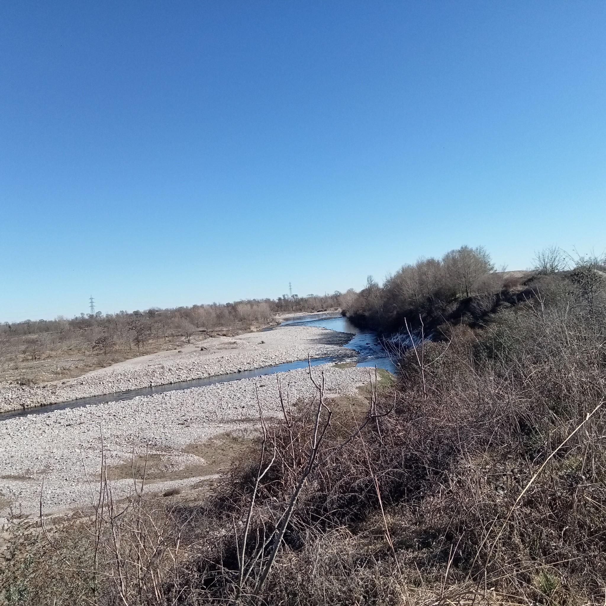
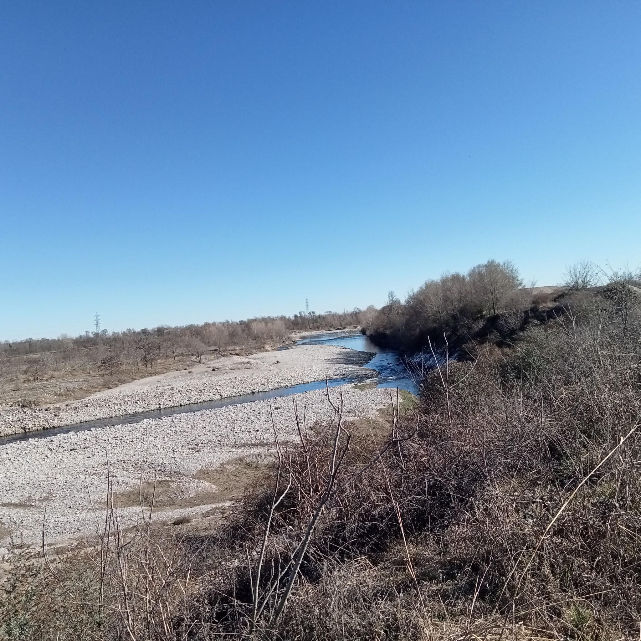
The Serio is an important Italian river, 124 kilometers long, that flows entirely within Lombardy, crossing the provinces of Bergamo and Cremona. It originates in the Orobic Alps from Mount Torena and concludes its course by flowing as a tributary into the Adda river, in the locality of Boccaserio (a hamlet of the municipality of Montodine).
0
0
The Città Alta is the historic and medieval heart of Bergamo, a jewel perched on a hill and entirely enclosed by the majestic Venetian Walls, declared a UNESCO World Heritage site. Unlike the modern Città Bassa located on the plain, the upper part retains the intact charm of its cobbled streets, period buildings, and historic squares.
0
0

The Colle dei Pasta from Torre de' Roveri is one of the most classic and scenic cycling climbs and hiking routes in the Bergamasca area. The side that starts from Torre de' Roveri (Pittarello locality) is considered the most spectacular because it climbs through vineyards where the prized local wine is produced. Length: 2.7 kilometers Positive elevation gain: 162 meters Average gradient: 6% Maximum altitude: 416 meters a.s.l. The route develops on asphalt through 7 hairpin bends. The main roads involved are Via Papa Giovanni XXIII, Via Don Stefano Mangili, Via Colle dei Pasta and Via Collina Alta
0
0

Lower funicular station that leads to the upper town
0
0

It connects Bergamo Bassa to Bergamo Alta, or, just before that, you can climb the steps that lead to the botanical gardens. You'll save time, money, and a little health...
1
0
Bergamo, the heart of the city
0
0


One of the two neoclassical monuments called propylaea. Behind them you can see the upper city of Bergamo
1
0
Frequently Asked Questions
How many road cycling routes are available around Zanica?
There are over 290 road cycling routes around Zanica, offering a wide range of options for different skill levels and preferences. This includes 91 easy routes, 153 moderate routes, and 49 more challenging options.
What kind of terrain can I expect on road cycling routes near Zanica?
Road cycling routes around Zanica feature a diverse landscape of agricultural plains, gentle hills, and numerous vineyards. You'll find a mix of flat sections perfect for speed and slight undulations that add variety. Elevations typically remain below 200 meters, making for manageable climbs.
Are there road cycling routes suitable for beginners in Zanica?
Yes, Zanica offers a good selection of routes suitable for beginners. There are 91 easy road cycling routes, many of which wind through scenic vineyard landscapes or agricultural plains, providing a pleasant and less strenuous ride. An example is the Le Matitone Vineyard loop from Grassobbio, an easy 28.2-mile path.
What are the typical lengths of road cycling routes in Zanica?
Road cycling routes in Zanica vary in length, with many popular options ranging from approximately 20 to 30 miles (32 to 48 km). For instance, the Ghisalba Bike Park – Malpaga Castle loop from Urgnano is 21.6 miles, while the Colle dei Pasta – View of the Bergamo Vineyards loop from Zanica covers 24.3 miles.
Are there circular road cycling routes in Zanica?
Yes, many road cycling routes around Zanica are designed as loops, allowing you to start and end at the same point. Popular examples include the Ghisalba Bike Park – Malpaga Castle loop from Urgnano and the Le Matitone Vineyard loop from Grassobbio.
What historical sites can I see along road cycling routes near Zanica?
Road cycling routes in the region often pass by historical sites. For example, the Ghisalba Bike Park – Malpaga Castle loop from Urgnano takes you past the historic Malpaga Castle. You might also encounter various religious buildings like the Croce dei Morti Chapel or the Alpini Chapel on Mount Bastia, which are often found in the surrounding hills.
Are there scenic viewpoints on road cycling routes around Zanica?
Yes, the region offers several scenic viewpoints, particularly on routes that venture into the gentle hills and vineyards. The Colle dei Pasta – View of the Bergamo Vineyards loop from Zanica is known for its views. You can also find natural highlights like the Brembo Beach – Viewpoint or various summits such as Colle di Ranica Cross and Maresana Hill.
What do other road cyclists enjoy the most about road cycling in Zanica?
The road cycling routes in Zanica are highly rated by the komoot community, with an average score of 4.3 stars from over 850 reviews. Cyclists often praise the diverse experience offered by the agricultural plains, vineyards, and gentle hills, as well as the options for both easy and moderate challenges.
Are there challenging road cycling routes for advanced riders around Zanica?
While the region is known for its gentle terrain, there are 49 routes classified as difficult for those seeking more of a challenge. These routes may feature steeper inclines or longer distances, often exploring the slightly higher elevations around the area, though most climbs remain below 200 meters.
Can I find natural monuments or unique natural features on road cycling routes in Zanica?
Yes, the area around Zanica features several natural monuments and unique natural features. You might encounter highlights such as the Colle di Ranica Cross, the Fountain at Pascolo dei Tedeschi, or the San Giovanni Spring, which can add interesting stops to your ride.
Are there family-friendly road cycling routes in Zanica?
Many of the easy road cycling routes in Zanica are suitable for families, especially those that stick to the flatter agricultural plains and vineyard areas. These routes often have minimal elevation gain and pass through quiet countryside, providing a safe and enjoyable experience for all ages. Look for routes marked as 'easy' for the best family options.
What is the best time of year for road cycling in Zanica?
The best time for road cycling in Zanica is typically during the spring (April to June) and autumn (September to October) months. During these periods, the weather is generally mild and pleasant, with less heat than summer and fewer chances of rain than winter, making for ideal cycling conditions through the vineyards and plains.
Most popular attractions around Zanica

Get inspired with the komoot mobile app


Explore more
Browse the best Road cycling routes in other regions.
