The best running trails around Vestenanova
4.2
(143)
5,278
runners
200
runs
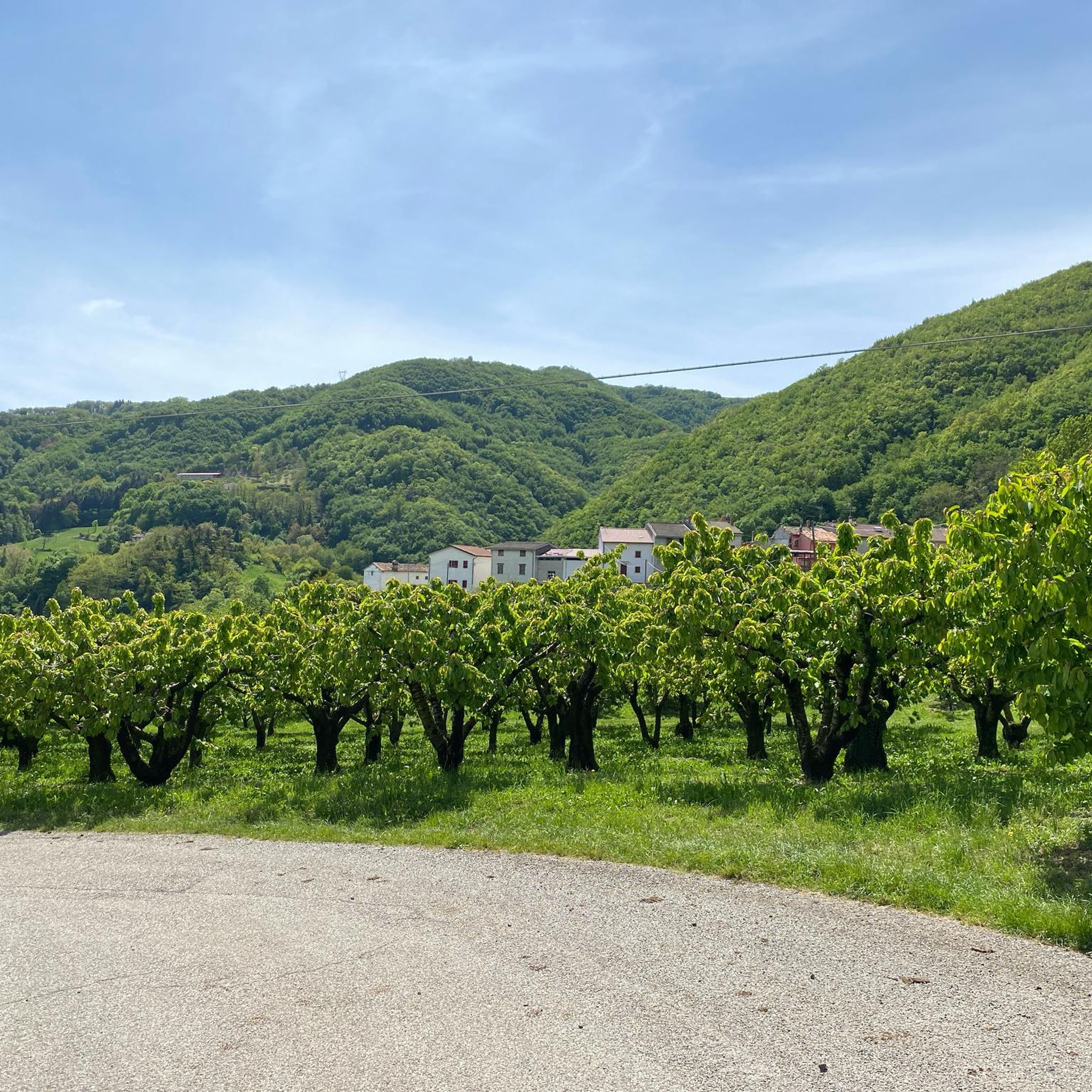
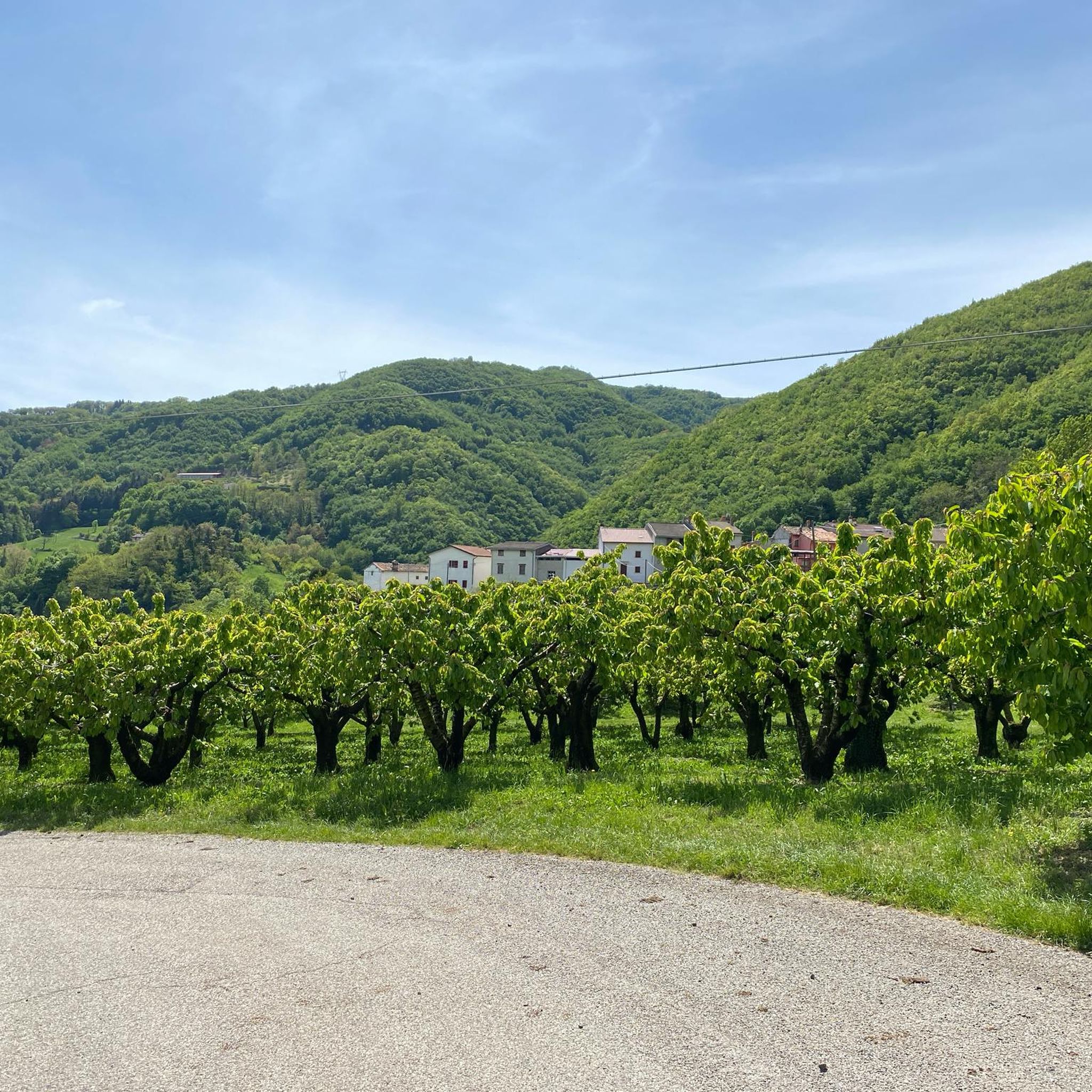
Jogging routes around Vestenanova are found within the Lessinia region of Verona, Italy, offering diverse landscapes and varied elevations ranging from 300 to 1000 meters above sea level. The terrain features enchanted woods, green hills, and watercourses, providing a dynamic environment for runners. Lush green paths wind through picturesque scenery, including panoramic routes that offer expansive views of the surrounding region and valleys of volcanic origin. The area is also known for its fossil sites and unique geological formations within…
Last updated: July 4, 2026
4.0
(2)
103
runners
27.2km
04:22
1,480m
1,480m
Hard run. Very good fitness required. Sure-footedness, sturdy shoes and alpine experience required.
69
runners
14.8km
02:05
670m
670m
Hard run. Very good fitness required. Mostly accessible paths. Some sure footedness required.

Sign up for free
32
runners
29.7km
04:26
1,460m
1,460m
Hard run. Very good fitness required. Sure-footedness, sturdy shoes and alpine experience required.
24
runners
16.1km
03:00
1,270m
1,270m
Hard run. Very good fitness required. Sure-footedness, sturdy shoes and alpine experience required.
21
runners
39.8km
06:13
1,830m
1,830m
Hard run. Very good fitness required. Sure-footedness, sturdy shoes and alpine experience required.
Get access to more routes and recommendations from other explorers.
Sign up for free
Already have an account?
Our route recommendations are based on thousands of hikes, rides, and runs completed by other people on komoot.
Start today with a free account
Your next adventure awaits.
Login or Signup

Tips from the Community

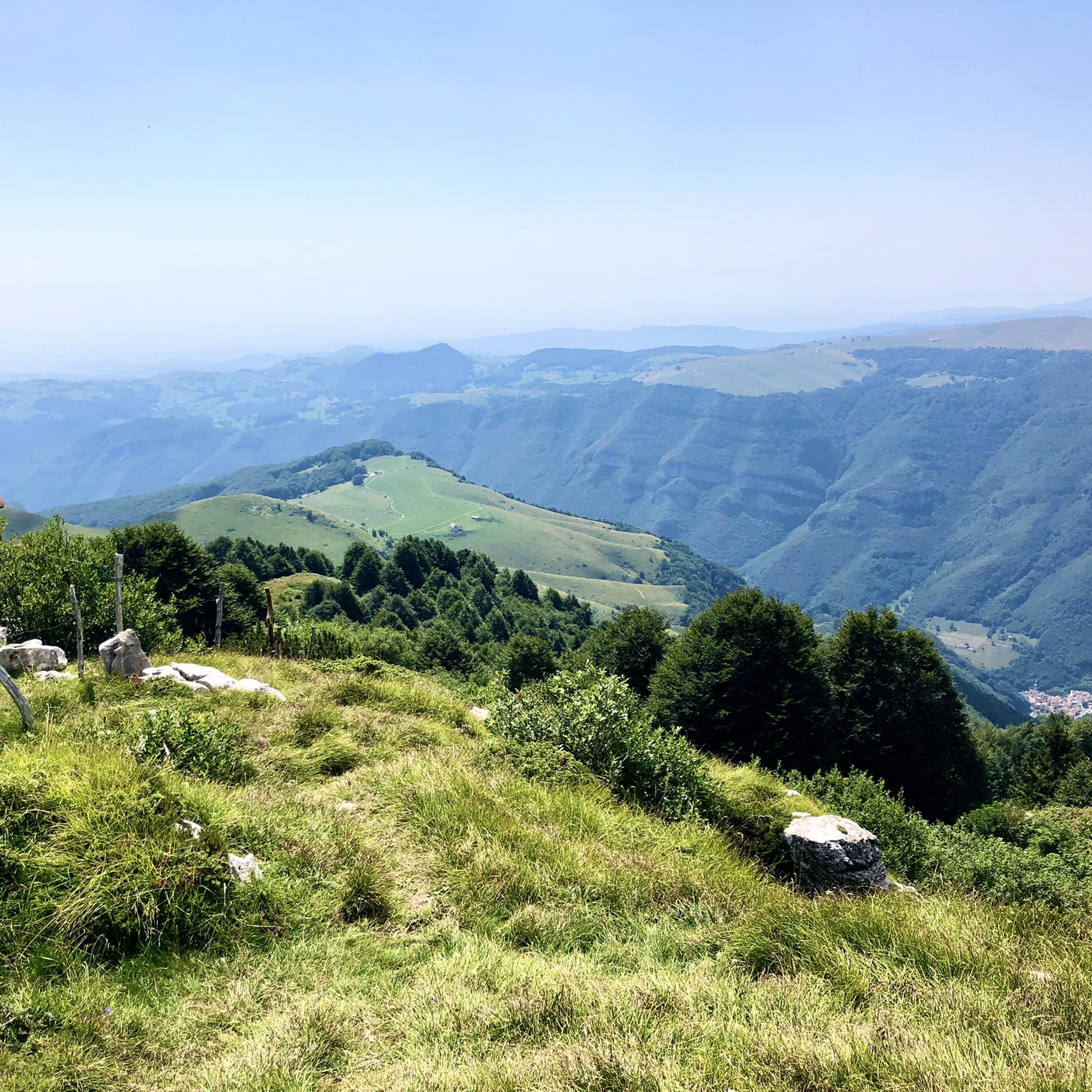
very panoramic peak reachable from Campofontana, from the crest of the Telegrafo and Porto mountains, or from the Scagina pass.
0
0

great panoramic view in good weather
0
0

Old stone staircase that flanks the penstock of the Ferrazza hydroelectric plant: it was (is?) probably the service and maintenance access to the plant. It is very long, steep and uneven, besieged by the woods: very particular and suggestive, but I think it is on private property (I ended up there by chance!). A penstock is a pipe that conveys water from the upstream loading basin (like a tank or a dam) to the hydraulic turbine downstream: the force of the high pressure due to the slope is transformed into kinetic energy and then, via the generator, into electrical energy.
0
0
In the high and deep Chiampo Valley, among the numerous and ancient districts, Papalini is the most isolated, uncomfortable, forbidden to any mechanical means, reachable only by a rugged path through the woods... almost incredible to think how such an inaccessible place was once habitable! It has been abandoned for decades, ruined and unsafe: old stone walls, wooden window frames and crumbling barns make the place arcane and suggestive. In the immediate vicinity, works from the 18th century survive: to the east of the district, an arched fountain surmounted by a capital with a fresco; to the west, another fresco depicting a friar.
0
0

route from bertagnoli to gingerino with beautiful views
1
0

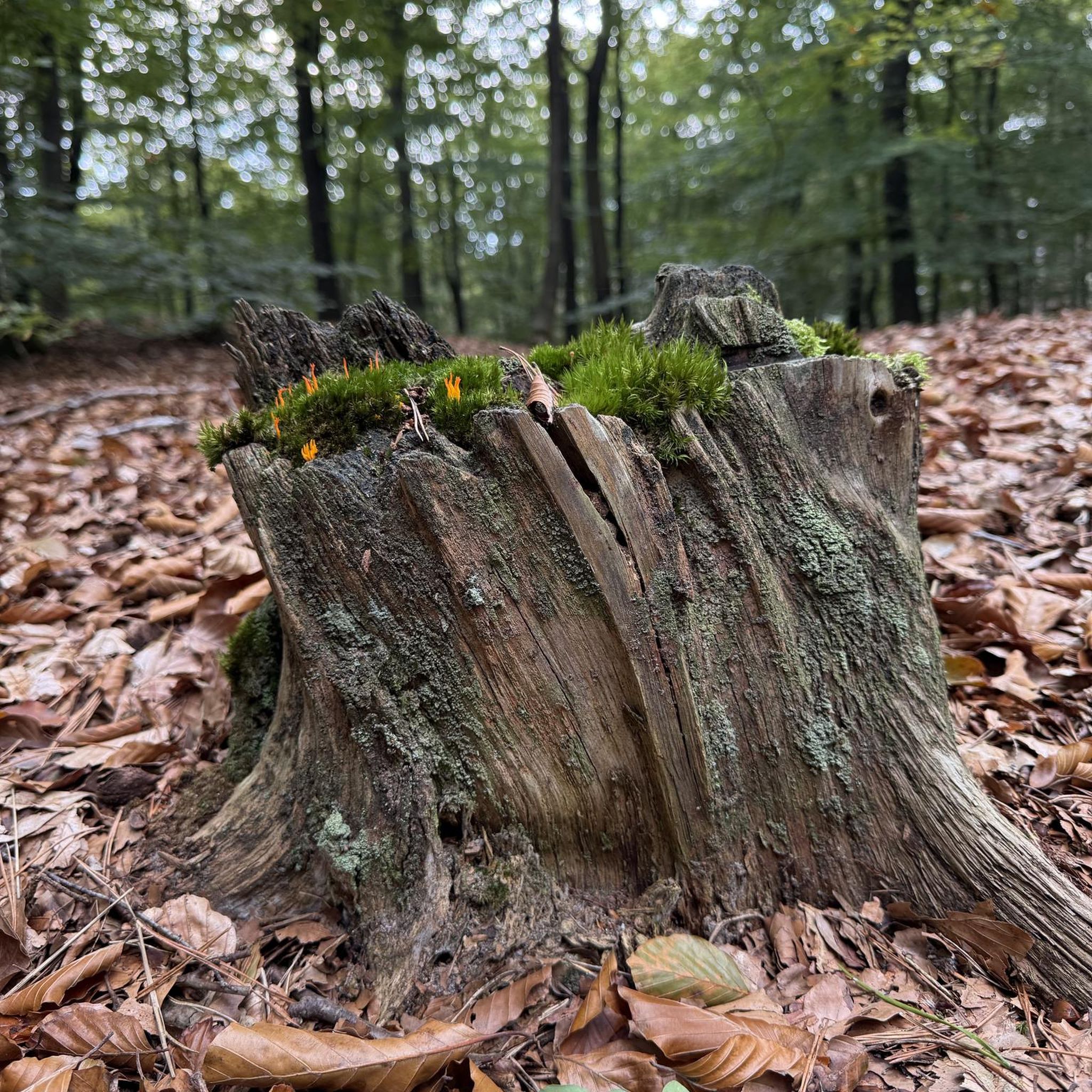
Centuries-old beech tree in the middle of the snow
0
0
From Bertagnoli to Gingerino
1
0
Frequently Asked Questions
What kind of terrain can I expect on the running trails around Vestenanova?
The running trails in Vestenanova, located within the Lessinia Mountains, offer a diverse range of terrain. You'll find enchanted woods, green hills, and watercourses, with elevations varying from 300 to 1000 meters above sea level. This provides a dynamic environment for runners, from challenging uphill sections to scenic descents. The area is also known for its unique geological formations and fossil sites, adding to the varied landscape.
Are there any easy or beginner-friendly jogging routes in Vestenanova?
Yes, while many routes are moderate to difficult, Vestenanova does offer some easier options. Out of 170 total routes, 4 are classified as easy. For example, the Running loop from Mistrorighi is a moderate 3.3-mile (5.32 km) trail that leads through local hamlets and is often completed in about 33 minutes, making it a good choice for those looking for a less strenuous run.
What natural features or landmarks can I see while running in Vestenanova?
Vestenanova's trails offer a wealth of natural beauty and unique landmarks. You can explore the scenic Lessinia Natural Park with its woods and pastures, or discover the famous fossil sites around Bolca, such as Bolca-Pesciara and Monte Postale. Notable highlights include the Valley of the Sphinxes, the Papalini Waterfall, and the Trail of the Great Trees. Some routes also pass by mountain huts like Cesare Battisti Hut at Tre Croci.
Are there any circular running routes available in Vestenanova?
Yes, many of the running routes in Vestenanova are circular, allowing you to start and end at the same point. A popular example is the Giazza Village loop from Badia Calavena, a challenging 14.3-mile (22.95 km) trail. Another option is the Bocchetta Marana – View of the Plain loop from Catena delle Tre Croci, which offers panoramic views.
What do other runners say about the trails in Vestenanova?
The running routes in Vestenanova are highly rated by the komoot community, with an average score of 4.4 stars from over 90 reviews. More than 4000 runners have used komoot to explore the varied terrain. Reviewers often praise the enchanting woods, green hills, and panoramic views that define the jogging experience in the region.
Can I find running routes with good viewpoints in Vestenanova?
Absolutely. Vestenanova is known for its panoramic views, especially from its northern hamlets. Routes like the 'Ciclamino di Bolca Path' are described as very panoramic, offering suggestive and evocative stretches. The Bocchetta Marana – View of the Plain loop from Catena delle Tre Croci is specifically highlighted for its panoramic views of the plain from elevated sections.
Are there any trails that combine running with historical or geological interest?
Yes, Vestenanova offers unique trails that blend exercise with a journey through history and geology. The area around Bolca is famous for its fossil deposits, and trails like the 'Between fossils and basalts - Red Path of Bolca' and the 'Bolca Fossil Trail through volcanic landscapes' provide unique natural scenery. For a historical context, 'The Memory Path of Vestenanova' winds through greenery, tracing places of memory from the Second World War.
What is the best time of year for jogging in Vestenanova?
Vestenanova's diverse landscapes make it suitable for running across multiple seasons. The region's green paths and varied elevations are enjoyable in spring, summer, and autumn. The 'bucolic landscapes' with chestnut trees and green hills are particularly enchanting. While specific winter conditions vary, the varied terrain from 300 to 1000 meters above sea level means conditions can change, so checking local weather is always recommended.
Are there options for longer, more challenging runs in the Vestenanova area?
Yes, Vestenanova offers numerous challenging routes for experienced runners. The Giazza Village loop from Badia Calavena is a difficult 14.3-mile (22.95 km) trail that provides a comprehensive exploration of the local landscape. Another difficult option is the Bocchetta Marana – View of the Plain loop from Zovo, spanning 13.9 miles (13.95 km) with significant elevation changes.
How many running routes are available around Vestenanova?
There are over 170 running routes available around Vestenanova, offering a wide variety of options for different skill levels and preferences. These routes are spread across diverse landscapes within the Lessinia region.
Are there any cafes or places to eat near the running trails in Vestenanova?
While specific cafes directly on every trail are not listed, Vestenanova and its surrounding hamlets offer various options. The presence of mountain huts like Rifugio Lausen and Montefalcone Hut (Gingerino) suggests places where you might find refreshments. Exploring the local hamlets will likely reveal cafes and restaurants for post-run sustenance.
What is the elevation range for running in Vestenanova?
The running routes around Vestenanova are situated at varying altitudes, ranging from approximately 300 to 1000 meters above sea level. This significant elevation difference provides opportunities for both challenging climbs and rewarding descents, contributing to the dynamic nature of the trails.
Most popular routes around Vestenanova
Most popular attractions around Vestenanova

Get inspired with the komoot mobile app


Explore more
Browse the best Running Trails & Routes in other regions.
