The best walks and hikes around Isola Della Scala
4.4
(133)
1,252
hikers
71
hikes
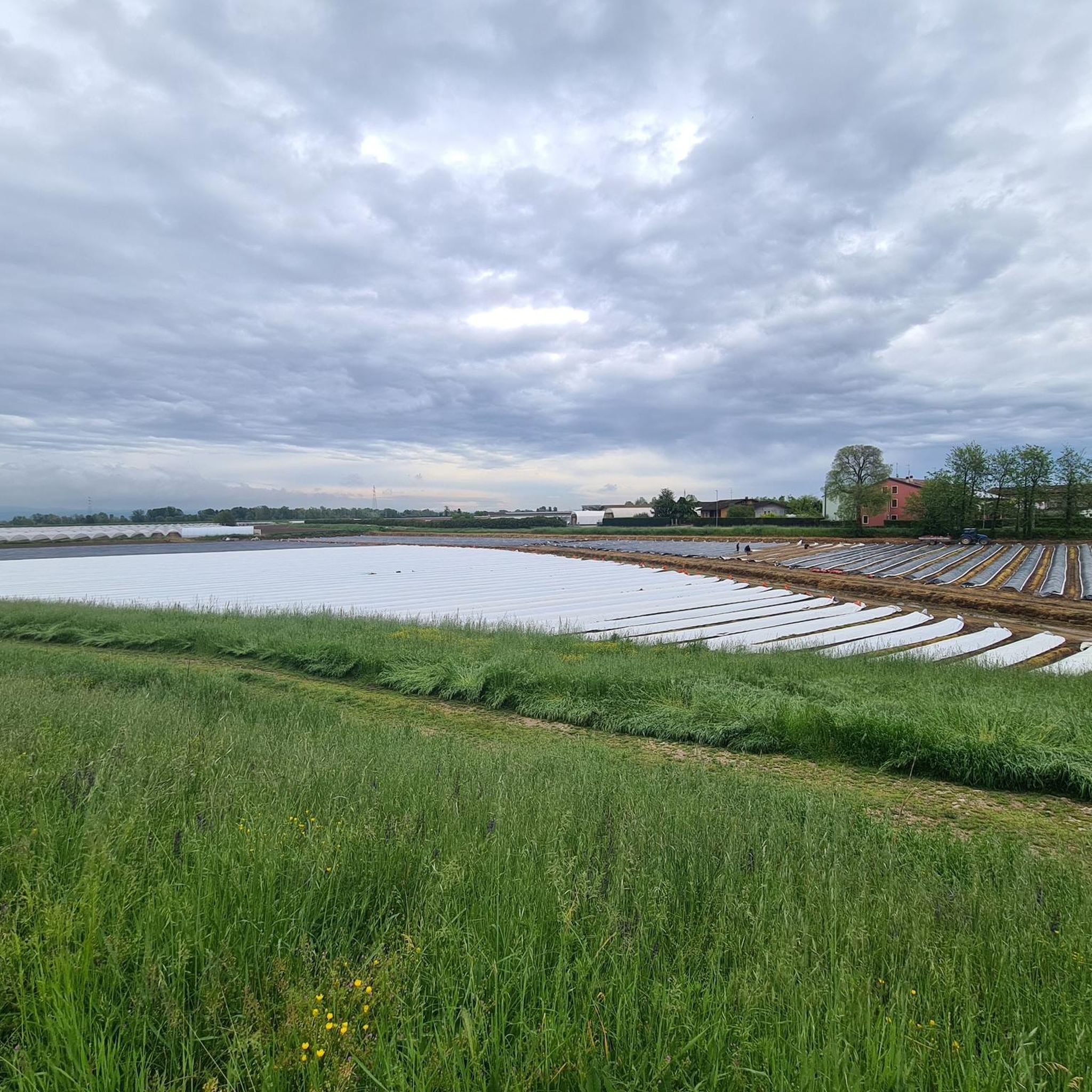
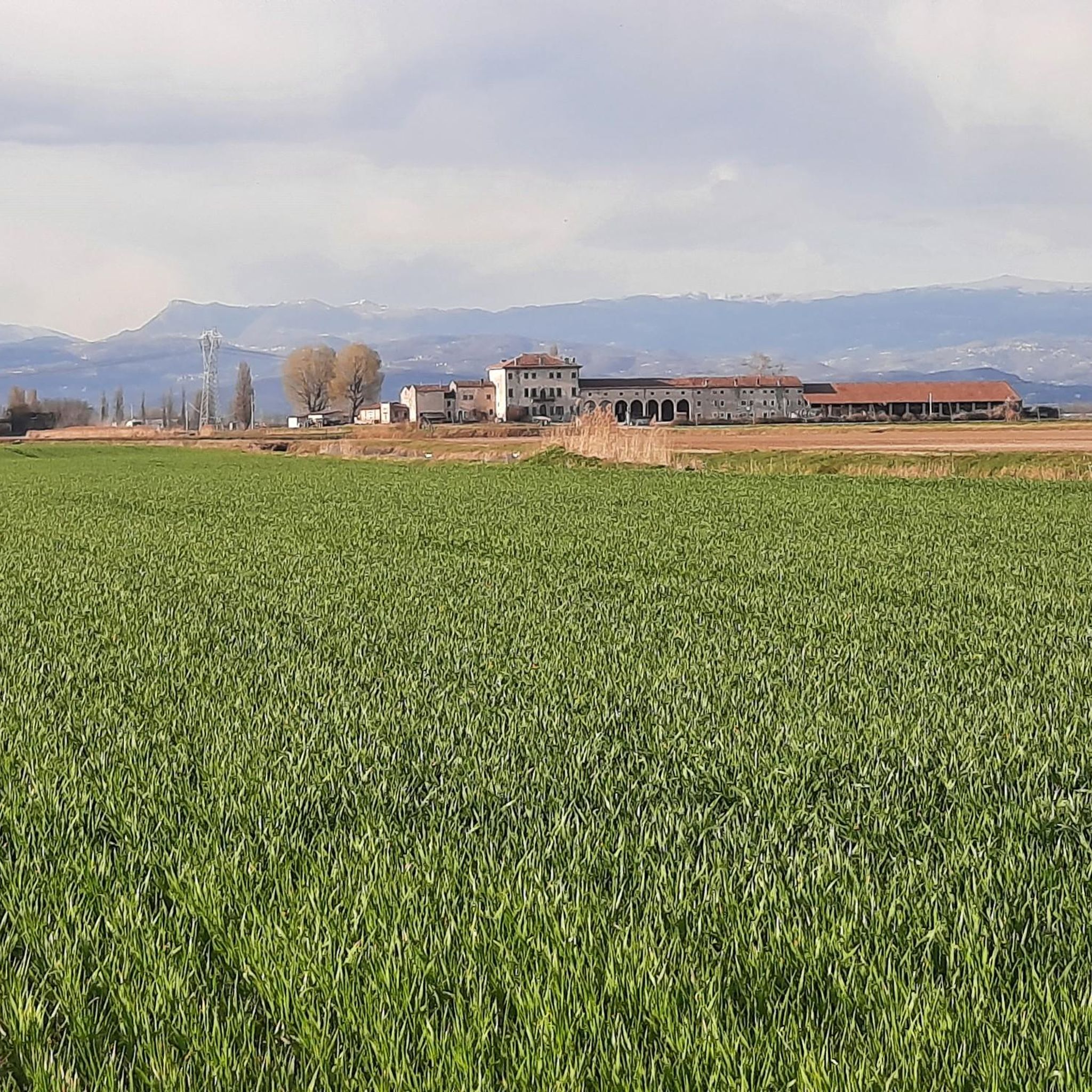
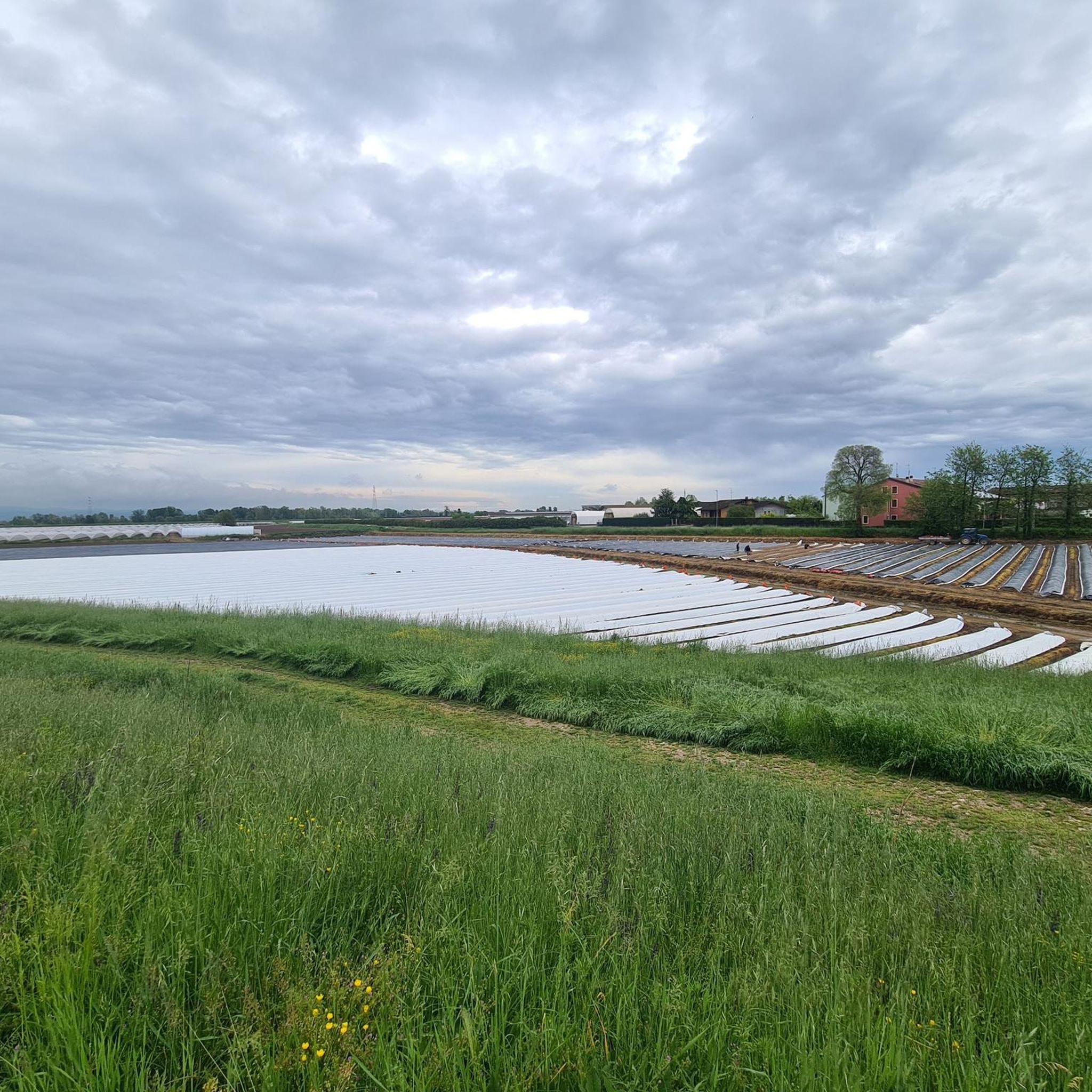
Hiking around Isola Della Scala offers routes through a landscape characterized by extensive rice fields, irrigated by the Tartaro river basin and numerous spring-fed rivers. The flat terrain of the Po Valley provides easily accessible paths suitable for various fitness levels. Historical sites such as the Santuario della Bastia and the Torre Scaligera are integrated into many of these routes, offering cultural points of interest amidst the natural scenery. This region is defined by its agricultural plains and intertwining waterways.
…Last updated: July 9, 2026
4.0
(1)
13
hikers
7.55km
01:55
20m
20m
Easy hike. Great for any fitness level. Easily-accessible paths. Suitable for all skill levels.
4.3
(4)
15
hikers
5.23km
01:20
10m
10m
Easy hike. Great for any fitness level. Easily-accessible paths. Suitable for all skill levels.

Sign up for free
5
hikers
15.6km
03:56
10m
10m
Moderate hike. Good fitness required. Easily-accessible paths. Suitable for all skill levels.
5.0
(1)
5
hikers
17.5km
04:25
20m
20m
Moderate hike. Good fitness required. Easily-accessible paths. Suitable for all skill levels.
5.0
(1)
5
hikers
6.96km
01:46
10m
10m
Easy hike. Great for any fitness level. Easily-accessible paths. Suitable for all skill levels.
Get access to more routes and recommendations from other explorers.
Sign up for free
Already have an account?
Our route recommendations are based on thousands of hikes, rides, and runs completed by other people on komoot.
Start today with a free account
Your next adventure awaits.
Login or Signup

Tips from the Community

I missed a water fountain
0
0
Stunning park and very well maintained
0
0
Beautiful Park
0
0
It must be wonderful in the summer
0
0

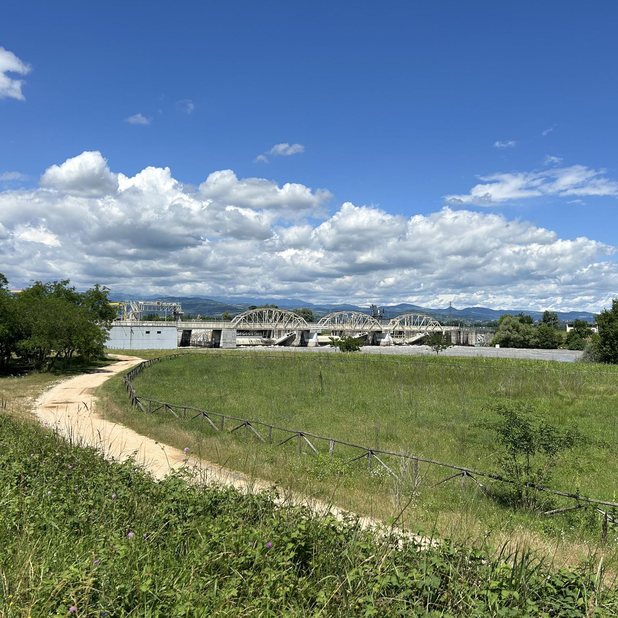
The connection between two major rivers, the Adige and the Mincio, creates one of the longest cycling routes in Italy. From Lake Garda, from Peschiera sul Mincio, you can travel entirely on a cycle path to the mouth of the Adige River in Rosolina Mare.
0
0

Beautiful cycle path that allows you to avoid the roads and enjoy the view of the fields and canals at the same time. Almost completely devoid of trees and fountain, in summer be careful of the heat.
0
0
The Resurgences cycle path runs along the resurgence channel of the middle Veronese plain, which starts from the Mincio (Valeggio s.M.) and arrives at the Adige (in the locality of Ca' Bombarda, the border point between San Giovanni Lupatoto and Zevio at 12 km from the center of Verona) also passing through the municipalities of Villafranca di V., Povegliano V., Vigasio, Castel d'Azzano, Buttapietra. Its length is about 35 km, of which the first 10 km between Valeggio and Villafranca are mainly dirt roads on panoramic country paths, while the 25 km between Villafranca and the Adige are paved and mostly in their own valuable site, passable with pleasure also in bdc.
2
0
Frequently Asked Questions
How many hiking trails are available around Isola Della Scala?
There are over 40 hiking routes available around Isola Della Scala, catering to various preferences. The majority, about 25, are classified as easy, with 18 moderate options and one more challenging trail.
What kind of terrain can I expect on hikes around Isola Della Scala?
Hikes around Isola Della Scala primarily feature the flat agricultural plains of the Po Valley, characterized by extensive rice fields and intertwining spring-fed rivers. The terrain is generally easy, making it suitable for carefree walks and accessible paths.
Are there family-friendly hiking options in Isola Della Scala?
Yes, Isola Della Scala offers many family-friendly hiking options due to its mostly flat terrain. An excellent choice is the Castel d'Ario — Ring Tour, an easy 4 km route that takes about an hour to complete, offering views of the agricultural landscape and historical remnants.
Can I bring my dog on the hiking trails in Isola Della Scala?
While specific regulations for dogs on trails are not detailed, the natural, open agricultural landscapes and riverine environments around Isola Della Scala generally welcome well-behaved dogs on a leash. Always ensure your dog is under control and respect local signage or private property.
What natural features or unique landscapes can I see while hiking?
The region is famous for its extensive rice fields, irrigated by the Tartaro river basin and numerous spring-fed rivers, creating picturesque scenery. A notable natural feature is the Mulino Giarella, a historic mill where the Piganzo and Tartaro rivers converge, featuring a small waterfall that adds to the tranquil ambiance.
What historical landmarks can I discover while hiking in Isola Della Scala?
Hiking in Isola Della Scala offers a 'path of history and relaxation.' You can explore cultural landmarks such as the Santuario della Bastia, a Marian sanctuary dating back to 1121, and the impressive remains of the 13th-century Torre Scaligera, strategically positioned by the Tartaro River.
Are there any circular hiking routes available?
Yes, many routes in the area are circular, allowing you to start and end at the same point. For example, the Regional Fishing Reserve loop from San Giovanni Lupatoto is an easy 7.3 km trail through riverine environments, often completed in under two hours.
What do other hikers enjoy most about hiking in Isola Della Scala?
The area is highly rated by the komoot community, with an average score of 4.3 stars from over 100 reviews. Hikers often praise the tranquil waterways, the unique agricultural landscapes of the rice fields, and the integration of historical sites into accessible, flat routes.
Are there any longer, moderate hikes for more experienced walkers?
For those seeking a slightly longer and more moderate experience, the Lake of the Bovolone Park – Bosco Parco Menago loop from Bovolone is a great option. This 8.8 km path explores tranquil waterways and green spaces, offering a pleasant challenge.
What is the best time of year to go hiking in Isola Della Scala?
The flat terrain and agricultural nature of Isola Della Scala make it suitable for hiking across multiple seasons. Spring and autumn offer pleasant temperatures and vibrant scenery, especially when the rice fields are green or golden. Summer can be warm, but the presence of waterways provides some cooling. Winter offers a different, serene landscape.
Where can I find parking for trailheads in Isola Della Scala?
Parking availability varies by trailhead. For routes starting in or near towns like Bovolone or San Giovanni Lupatoto, you can often find public parking in the town centers or designated areas. For specific routes, it's advisable to check the route details on komoot for parking suggestions near the starting point.
Are there any trails that offer views of castles or historical structures?
Yes, several trails integrate historical structures. Beyond the Torre Scaligera, you might encounter other historical sites. For example, the area around Isola Della Scala features various castles, such as Castello di Villimpenta or Salizzole Castle, which can be explored as part of or near hiking routes.
Most popular routes around Isola Della Scala
Most popular attractions around Isola Della Scala

Get inspired with the komoot mobile app


Explore more
Browse the best Hikes in other regions.
