The best walks and hikes around Pianello Val Tidone
4.4
(294)
1,172
hikers
22
hikes
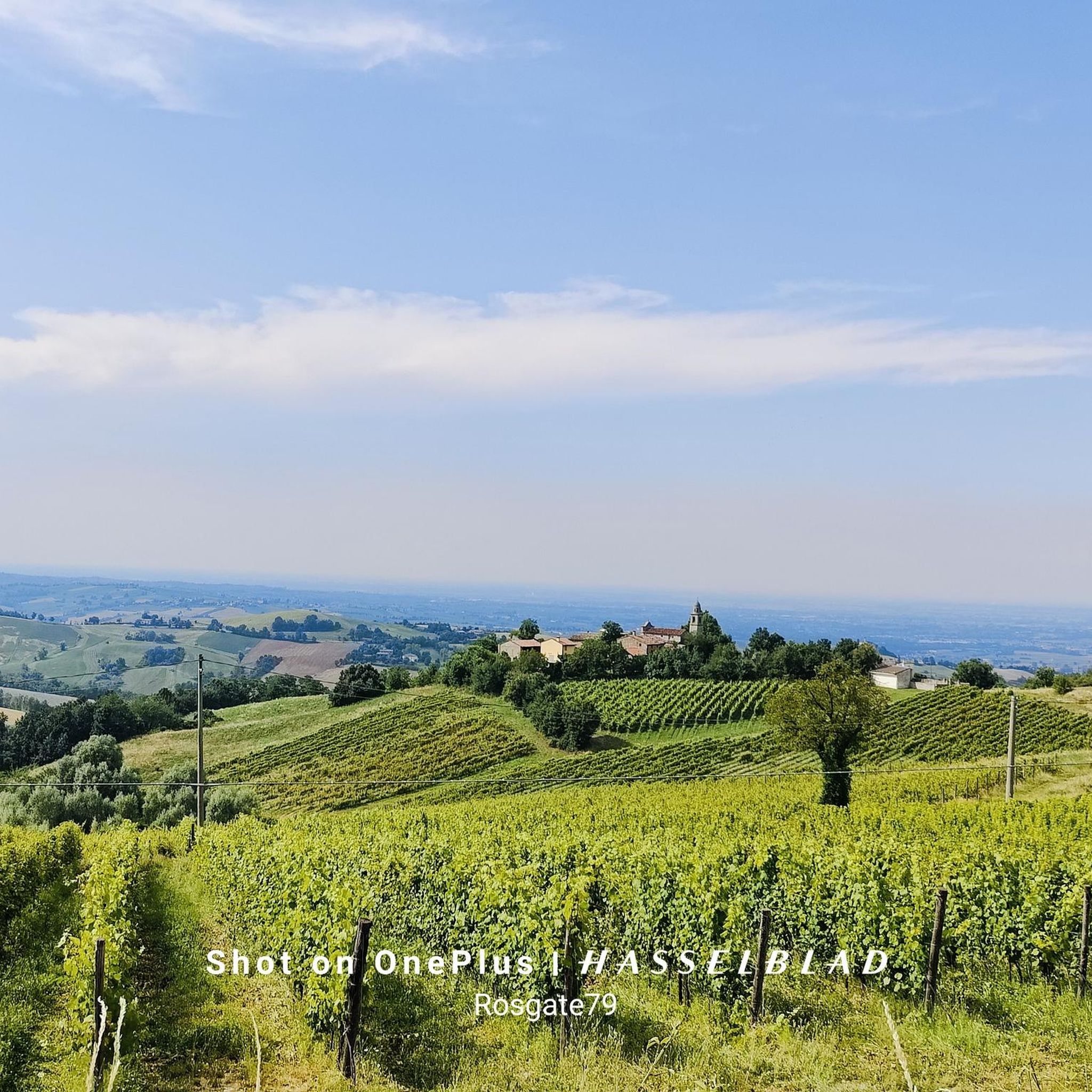
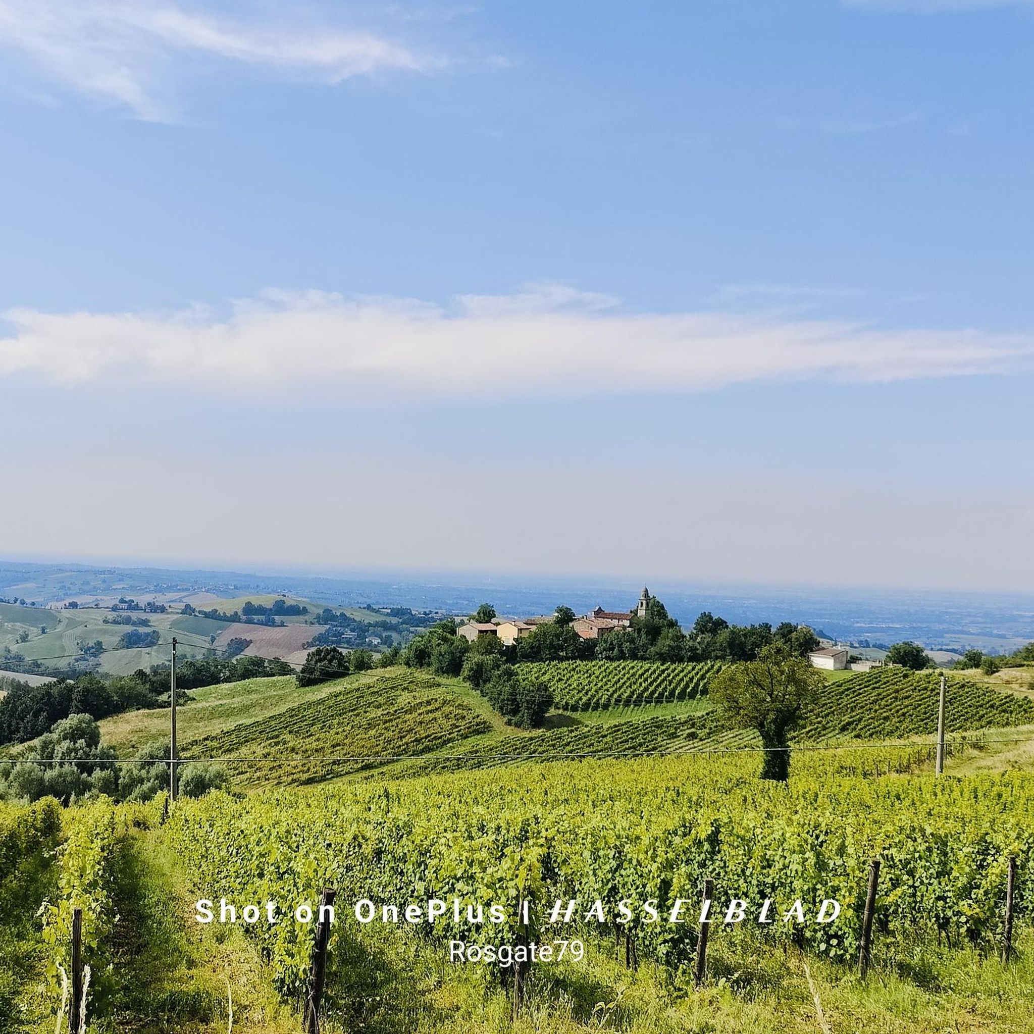
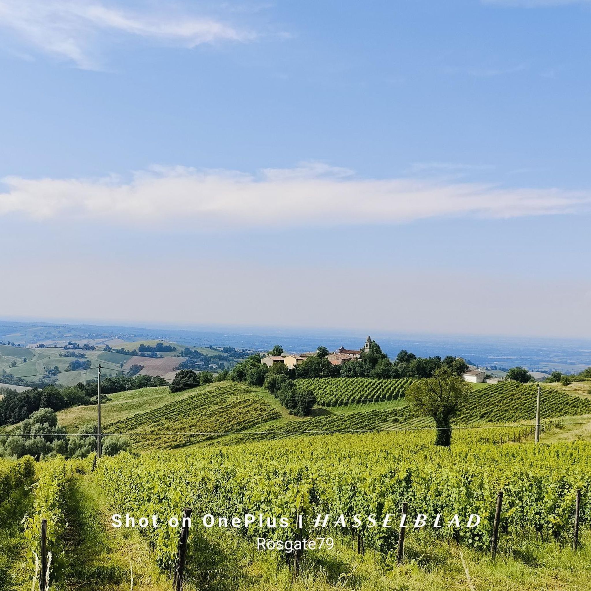
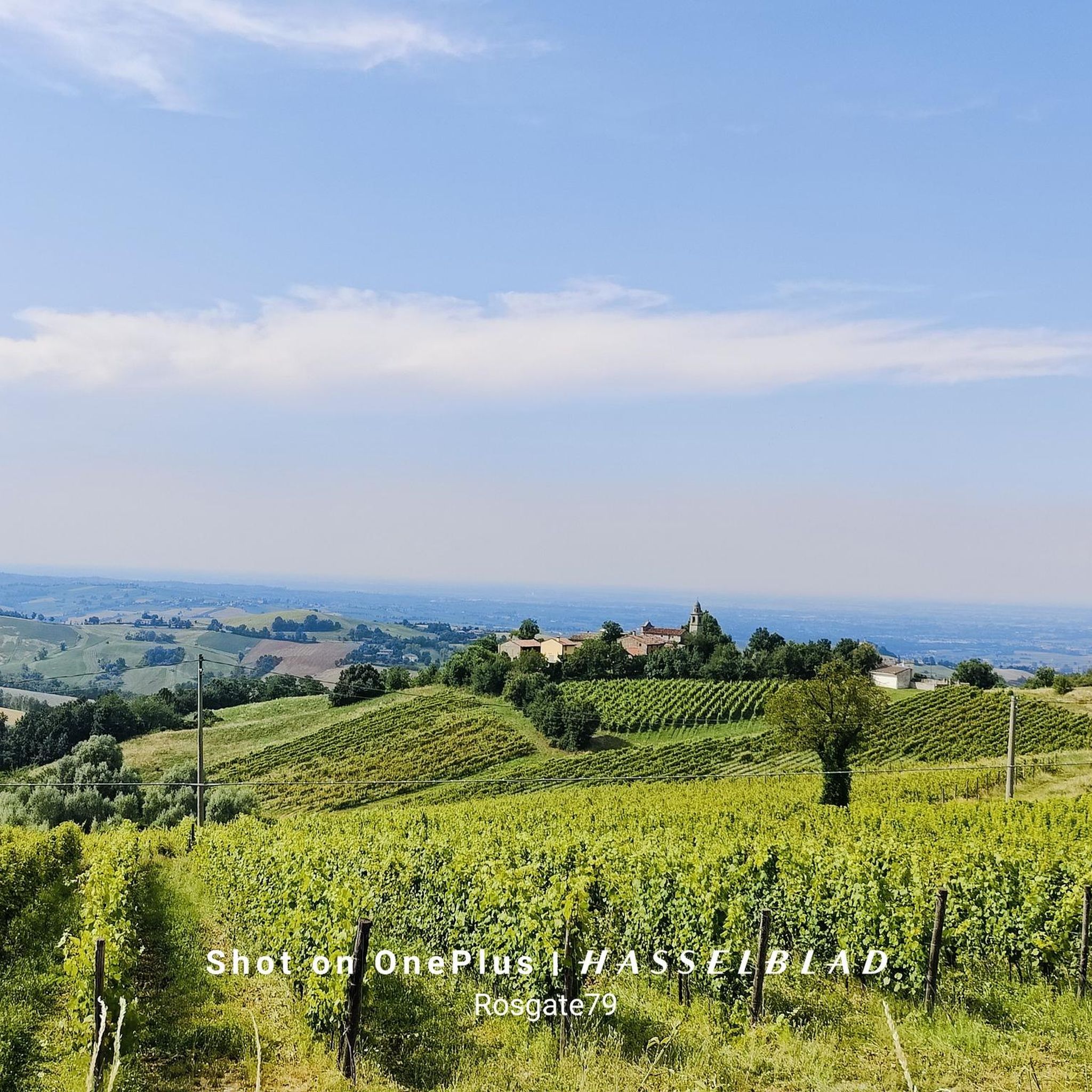
Hiking around Pianello Val Tidone offers diverse landscapes in the western Piacenza province. The region features a hilly terrain with elevations ranging from 200 to 800 meters, characterized by dense woods, vineyards, and the Tidone River. Historical castles and charming villages are integrated into the natural environment, providing varied points of interest for hikers.
Best hiking trails around Pianello Val Tidone
- The most popular hiking route is Olgisio Fortress loop from Case Gazzoli, a 4.1 miles (6.6 km) trail…
Last updated: July 9, 2026
4.5
(36)
134
hikers
7.20km
02:57
400m
400m
Moderate hike. Good fitness required. Mostly accessible paths. Sure-footedness required.
4.5
(2)
7
hikers
4.17km
01:20
170m
180m
Easy hike. Great for any fitness level. Easily-accessible paths. Suitable for all skill levels.

Sign up for free
5.0
(3)
15
hikers
18.1km
05:20
420m
420m
Hard hike. Very good fitness required. Mostly accessible paths. Sure-footedness required.
4.9
(8)
18
hikers
10.4km
03:07
340m
340m
Moderate hike. Good fitness required. Easily-accessible paths. Suitable for all skill levels.
4.0
(2)
6
hikers
11.3km
03:52
530m
530m
Moderate hike. Good fitness required. Mostly accessible paths. Sure-footedness required.
Get access to more routes and recommendations from other explorers.
Sign up for free
Already have an account?
Our route recommendations are based on thousands of hikes, rides, and runs completed by other people on komoot.
Start today with a free account
Your next adventure awaits.
Login or Signup

Tips from the Community

Hilltop from which various uphill trails start on Mount Ciariello
0
0

Very difficult area to reach. I recommend the Goccia one more
0
0

Rocca D'Olgisio from Cà del Diavolo
0
0

The Rocca d'Olgisio is one of the oldest and most evocative fortified complexes in the Piacenza area, both for its position dominating the Tidone and Chiarone streams and for its architecture. Its history dates back to the 11th century, when it belonged to the monks of S. Savino of Piacenza; conquered in 1378 by Gian Galeazzo Visconti, he handed it over to the Dal Verme family, to whom it belonged, with intervals, until the mid-nineteenth century. Since 1979 it has been owned by the Bengalli family.
2
0
Natural caves most likely inhabited already in the protohistoric era. Located in the natural habitat surrounding the castle of Rocca d'Olgisio.
2
0

Passo Ca' del Diavolo is an Apennine pass between Val Tidone and Val Tidoncello.
3
0
Frequently Asked Questions
How many hiking trails are available around Pianello Val Tidone?
There are over 10 distinct hiking trails around Pianello Val Tidone, catering to various skill levels. The komoot community has explored 14 routes in total, with 1 easy, 11 moderate, and 2 difficult options.
What kind of terrain can I expect on hikes around Pianello Val Tidone?
The region features a diverse, hilly terrain with elevations ranging from 200 to 800 meters, particularly around areas like Monte Aldone. You'll encounter dense woods, expansive vineyards, small rivers, and serene rural lakes, all characteristic of the western Piacenza province.
Are there any easy or family-friendly hiking options in Pianello Val Tidone?
Yes, there are options suitable for beginners and families. For an easy and scenic walk, consider the View of Rocca d'Olgisio – Passo Ca' del Diavolo loop from Vallerenzo, which is 2.6 miles (4.2 km) long and offers panoramic views of the historic Rocca d'Olgisio.
Can I hike with my dog in Pianello Val Tidone?
Many trails in Pianello Val Tidone are suitable for hiking with dogs, provided they are kept on a leash and you follow local regulations regarding pet waste. The natural environment with its woods and open spaces offers plenty of opportunities for you and your canine companion to enjoy the outdoors.
Are there any circular hiking routes in the area?
Yes, many routes are designed as loops. A popular moderate circular route is the Olgisio Fortress loop from Case Gazzoli, which is 4.1 miles (6.6 km) long. For a longer, more challenging option, try the Olgisio Fortress – Tidone Trail loop from Pianello Val Tidone.
What historical landmarks or natural features can I see while hiking?
The region is rich in history and natural beauty. You can explore numerous castles and fortified structures, such as the mighty Rocca d'Olgisio, or the Rezzanello Castle. Natural features include the Tidone River, the Molato Dam, and the artificial lake of Trebecco. Trails also connect charming villages like Caminata and Pecorara.
Are there any challenging hikes for experienced trekkers?
Yes, for experienced hikers seeking a challenge, there are difficult routes available. The Olgisio Fortress – Tidone Trail loop from Pianello Val Tidone is a 10.8 miles (17.4 km) trail that leads through varied terrain, including sections of the Tidone Trail, and is often completed in about 5 hours 8 minutes.
What do other hikers enjoy most about the trails in Pianello Val Tidone?
The trails in Pianello Val Tidone are highly rated by the komoot community, with an average score of 4.4 stars from over 200 reviews. Hikers often praise the diverse landscapes, the blend of nature and historical sites, and the well-maintained paths that offer options for all ability levels.
Are there trails that follow the Tidone River?
Yes, the Tidone River is a central natural feature, and the 69 km long "Sentiero del Tidone" hiking route follows its course. Sections of this trail are integrated into local loops, such as the Olgisio Fortress – Tidone Trail loop from Pianello Val Tidone, offering changing natural environments as it ascends towards the mountains.
Where can I find refreshments or accommodation near the trails?
Hiking trails often connect picturesque villages like Nibbiano, Caminata, and Pecorara, where you can find local hospitality. Additionally, many excursions lead to characteristic refuges where hikers can rest, sample local products, or even stay overnight, fostering cultural exchange with other outdoor enthusiasts.
Are there any notable viewpoints or scenic spots in the region?
Absolutely. The Rocca d'Olgisio, perched on a cliff, offers panoramic views of the entire Po Valley and the Tidone River. Other scenic spots include the Molato dam and the artificial lake of Trebecco. For mountain views, consider routes that ascend towards Monte Aldone, such as the Monte Aldone Summit – Passo Ca' del Diavolo loop from Case Gazzoli.
What are the options for parking and public transport to reach trailheads?
While specific parking details vary by trailhead, Pianello Val Tidone is generally accessible by car, with parking often available near village centers or designated trail starting points. For public transport, local bus services connect towns within the Piacenza province, but it's advisable to check schedules for specific routes and destinations to ensure convenient access to trailheads.
Most popular routes around Pianello Val Tidone
Most popular attractions around Pianello Val Tidone

Get inspired with the komoot mobile app


Explore more
Browse the best Hikes in other regions.
