The best walks and hikes around Piobesi D'Alba
4.4
(1566)
6,983
hikers
435
hikes
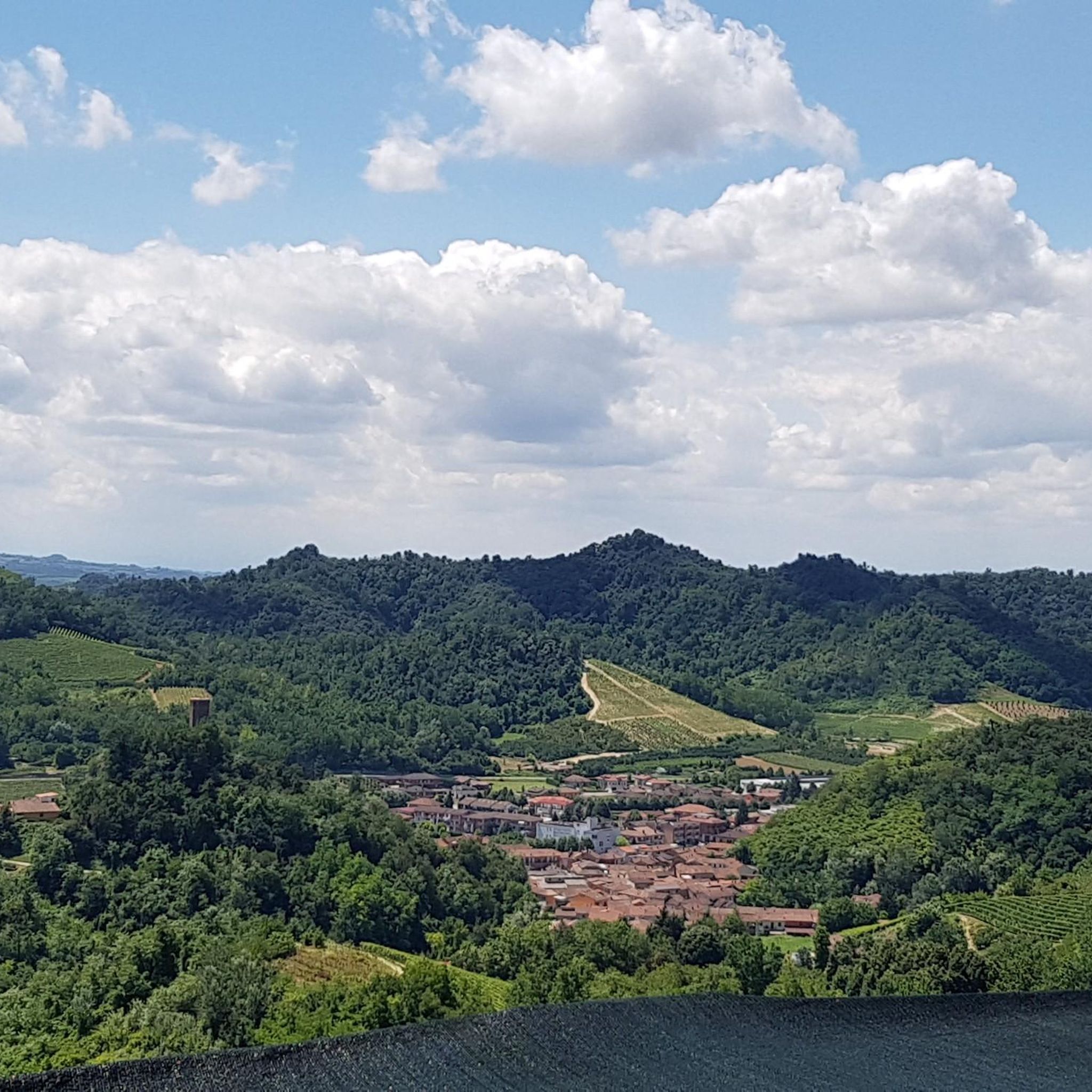
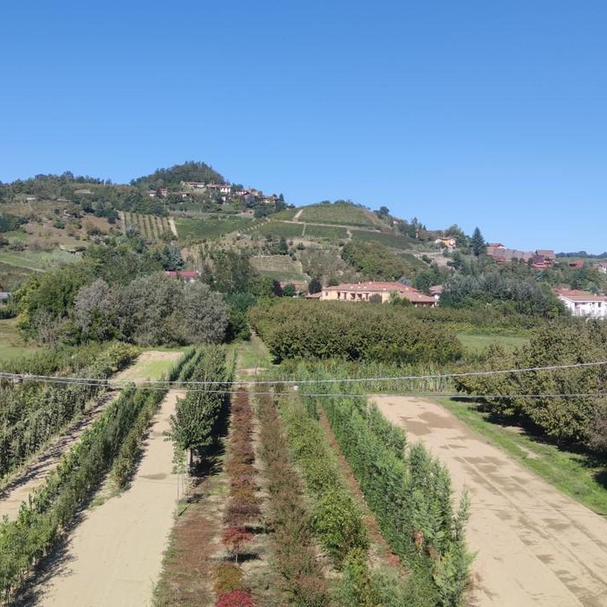
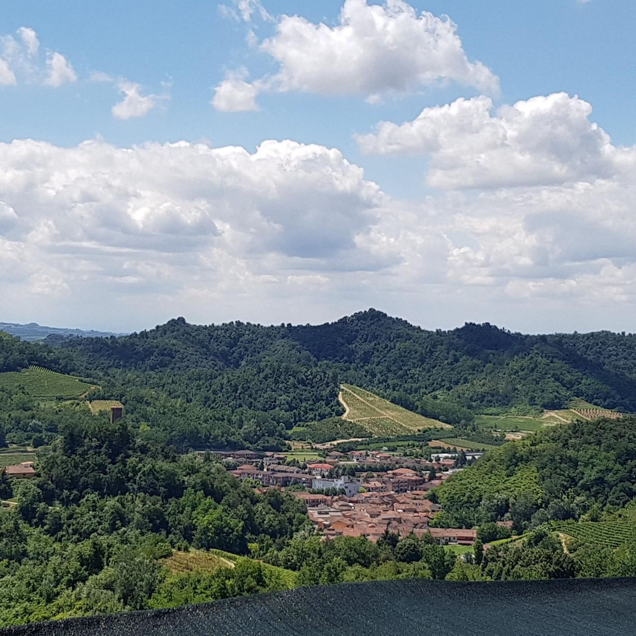
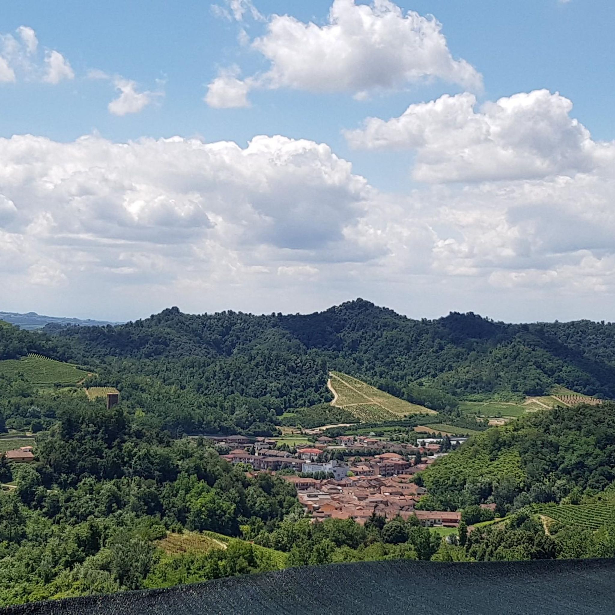
Hiking around Piobesi D'Alba offers diverse terrain characterized by hilly landscapes and extensive vineyards, which are central to the region's viticultural heritage. The area features lush forests providing varied ecosystems and shaded pathways. Trails often lead to elevated vantage points, offering panoramic views of the surrounding valleys, the town, and on clear days, the Alpine chain. Piobesi D'Alba is also situated near the Langhe Natural Park, a UNESCO World Heritage site.
Best hiking trails around Piobesi D'Alba
- The most popular…
Last updated: June 23, 2026
4.0
(1)
4
hikers
24.9km
07:05
570m
570m
Medieval villages and castle ruins connected by vineyard paths through Piedmont's famous wine country.
17.4km
05:14
550m
550m
Hike the difficult S4 Central Roero Trail for 10.8 miles through Italy's Roero region, featuring vineyards, forests, and panoramic views.

Sign up for free
4.4
(15)
52
hikers
Moderate hike. Good fitness required. Easily-accessible paths. Suitable for all skill levels.
4.1
(7)
22
hikers
Moderate hike. Good fitness required. Easily-accessible paths. Suitable for all skill levels.
5.0
(2)
11
hikers
19.2km
05:35
510m
510m
Hard hike. Very good fitness required. Easily-accessible paths. Suitable for all skill levels.
Get access to more routes and recommendations from other explorers.
Sign up for free
Already have an account?
Our route recommendations are based on thousands of hikes, rides, and runs completed by other people on komoot.
Start today with a free account
Your next adventure awaits.
Login or Signup

Tips from the Community

A slightly wobbly platform suspended in mid-air, where we can get closer to the view of the vineyard-covered hills. There are also comfortable benches. We're in the upper part of Guarene, a few meters from its castle.
0
0


Panoramic point with excellent view
0
0
Glimpse of the path of enchantment
0
0

In Guarene there is this panoramic point that allows you to appreciate a splendid view of Alba and the Piedmontese hills.
2
0
Panoramic point for cover photos
0
0


Tower located in a restricted access area which can be accessed by booking a guided tour
1
0
Frequently Asked Questions
How many hiking trails are available around Piobesi D'Alba?
There are over 400 hiking routes around Piobesi D'Alba, offering a wide range of options for all abilities. This includes more than 160 easy routes, over 220 moderate trails, and around 20 more challenging hikes.
What kind of terrain can I expect on hikes in Piobesi D'Alba?
The terrain around Piobesi D'Alba is characterized by beautiful hilly landscapes, extensive vineyards, and lush forests. Many trails lead to elevated vantage points, offering spectacular panoramic views of the surrounding valleys, the town, and on clear days, even the majestic Alpine chain.
Are there any family-friendly hiking options in the area?
Yes, Piobesi D'Alba offers many family-friendly hiking options. With over 160 easy routes, you can find leisurely walks with minimal elevation gain, perfect for families with children or those looking for a relaxed stroll through the vineyards and forests.
Can I bring my dog on the hiking trails in Piobesi D'Alba?
Most hiking trails in the Piobesi D'Alba region are dog-friendly, allowing you to explore the scenic vineyards and forests with your canine companion. It's always recommended to keep dogs on a leash, especially when passing through agricultural areas or near livestock, and to respect local regulations.
What are some notable landmarks or viewpoints I can discover while hiking?
Hikers can enjoy several notable landmarks and viewpoints. The region is known for its panoramic vistas, with Monte San Giorgio offering breathtaking views. You can also explore trails that link medieval villages and pass by ancient castle ruins. For example, the path of Santa Rosalia near Alba offers historical insights and views of UNESCO World Heritage landscapes, connecting to Grinzane Cavour Castle. Other castles like Castello di Roddi are also nearby.
Are there any circular hiking routes available?
Yes, there are several circular hiking routes around Piobesi D'Alba. One example is the Guarene Viewpoint – Guarene Belvedere loop from Mussotto, which offers a moderate 7.4 km (4.6 miles) experience. These loops are great for returning to your starting point without retracing your steps.
What is the best time of year to go hiking in Piobesi D'Alba?
The best time to hike in Piobesi D'Alba is typically during spring (April-June) and autumn (September-October). During these seasons, the weather is pleasant, and the landscapes are particularly beautiful, with blooming wildflowers in spring and vibrant colors in the vineyards during autumn. Summer can be warm, but the forests offer shaded pathways.
Where can I find parking for hiking trails in Piobesi D'Alba?
Parking is generally available in or near the villages and towns that serve as starting points for hiking trails, including Piobesi D'Alba itself. Specific parking information can often be found on individual route descriptions or local tourism websites. It's advisable to check for designated parking areas to ensure convenience and respect for local residents.
Are there places to eat or drink along the trails?
Many trails in the Piobesi D'Alba region feature cozy refuges and refreshment points. These spots are perfect for taking a break, enjoying local cuisine, or simply relaxing with a drink amidst the beautiful scenery. You'll often find opportunities to sample regional specialties and wines.
What do other hikers enjoy most about hiking in Piobesi D'Alba?
The hiking experience in Piobesi D'Alba is highly rated by the komoot community, with an average score of 4.4 stars from over 1300 reviews. Hikers frequently praise the stunning panoramic views, the immersive experience of walking through vineyards and forests, and the diverse network of trails that cater to various fitness levels.
Are there any long-distance or challenging routes for experienced hikers?
Yes, experienced hikers will find challenging routes in the area. The From Santa Vittoria d'Alba to Corneliano d'Alba (via Route 419) is a difficult 24.9 km (15.5 miles) path, while the View of Corneliano d'Alba – The Violi Oven loop from Piobesi d'Alba is a difficult 19.2 km (11.9 miles) trail, both offering significant elevation gain and requiring good fitness.
Can I access the trails using public transport?
While some larger towns in the Piedmont region have public transport connections, direct access to all trailheads in Piobesi D'Alba via public transport might be limited. It's advisable to check local bus schedules or consider a combination of public transport to a nearby town and then a short taxi ride or walk to the trailhead. For broader regional information, you might find resources on sites like visitalba.eu.
Most popular routes around Piobesi D'Alba
Most popular attractions around Piobesi D'Alba

Get inspired with the komoot mobile app


Explore more
Browse the best Hikes in other regions.
